Welcome to the next continuation of my notes from my journey following in the footsteps of Jan Hus from Prague to Constance. After I set off from Nuremberg, we stick to the St. Jacob's Trail, which in today's episode will take us to some interesting places that this long-distance route passes through.
Vítejte u dalšího pokračování zápisků z mojí cesty po stopách Jana Husa z Prahy do Kostnice. Po té co jsem vyrazil z Norimberka, se držíme Svatojakubské stezky, která nás v dnešním díle zavede na další zajímavá místa, kterými tato dálková trasa prochází.
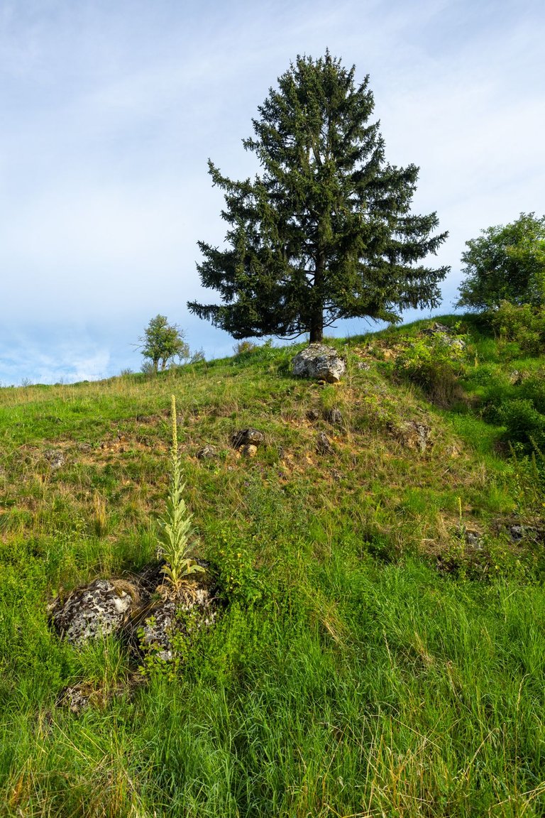
It had rained lightly the previous night, so I didn't leave the place where I stayed for the night until after breakfast and when my equipment had dried. I explored the nearby caves, which were just holes in the ground. So definitely nothing extra interesting. On the other hand, the surrounding steppe landscape, grazed by sheep, was worth seeing.
Předchozí noc lehce pršelo a tak jsem z místa kde jsem nocoval. Vyrazil až po snídani a když mi uschlo vybavení. Prozkoumal jsem nedaleké jeskyně, což byly pouze díry v zemi. Takže rozhodně nic extra zajímavého. Zato okolní stepní krajina, spásána ovcemi stála za podívání.
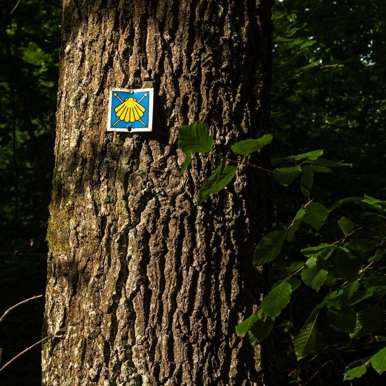
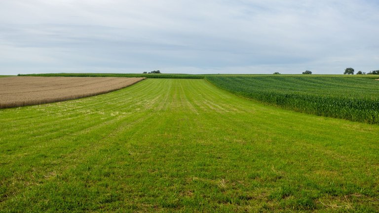
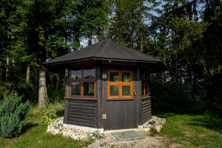
The first 5 kilometers traditionally alternated between meadows, forests and fields. When I arrived at a small shelter that wasn't even marked on the map. I sat for a while and replenished the fluids I had sweated out so far.
Prvních asi 5 kilometrů se tradičně střídali louky, lesy a pole. Až jsem dorazil k malému přístřešku, který ani nebyl značen v mapě. Chvíli jsem poseděl a doplnil tekutiny, které jsem doposud vypotil.
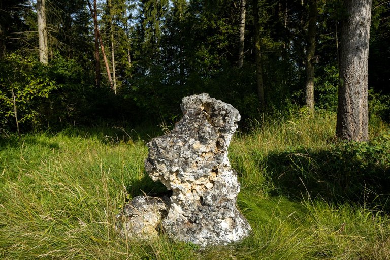
Limestone shards were still scattered around the area, thrown into the area by the impact of the meteorite.
Stále byly po okolí rozesety vápencové škvarky, které do okolí vyhodil dopad meteoritu.
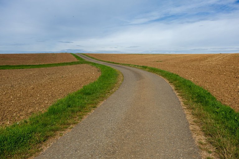
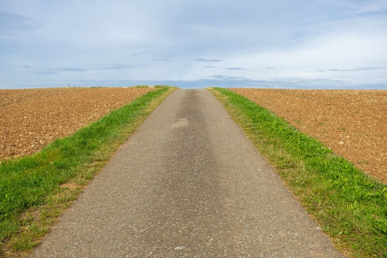
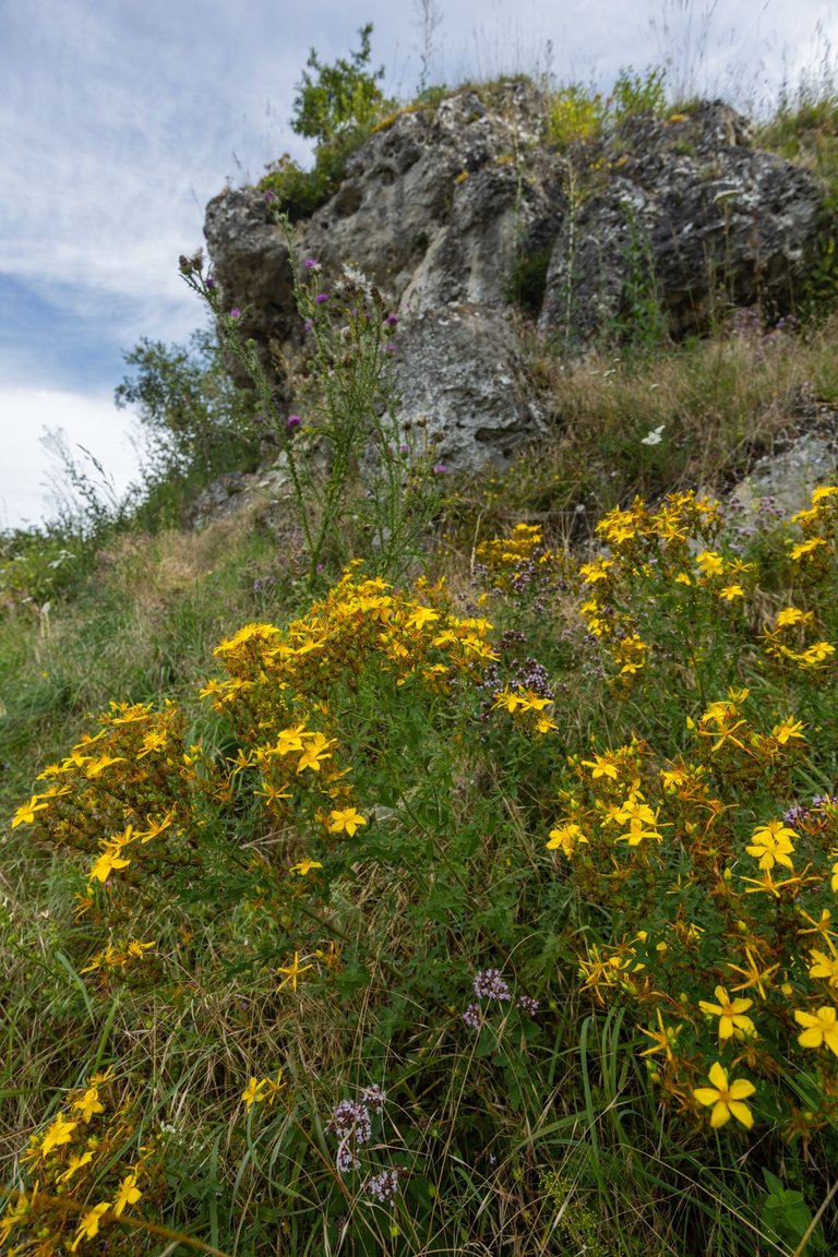
After a few more kilometers I reached the Hohler Stein rock formation. Where I sat in the shade again for a while because it was quite warm in the morning. Here I found that my phone stopped working for some mysterious reason. So I lost the map. So the plan changed immediately. The main thing was to get to the city of Neresheim and try to solve the problem there. Or buy a new phone.
Po pár dalších kilometrech jsem došel k skalnímu útvaru Hohler Stein. Kde jsem opět chvíli poseděl ve stínu, protože bylo od rána dost teplo. Zde jsem zjistil, že mi z nějakého záhadného důvodu přestal fungovat telefon. Tudíž jsem přišel o mapu. Takže plán se okamžitě změnil. Hlavní bylo dostat se do města Neresheim a tam se problém pokusit vyřešit. Případně koupit nový telefon.

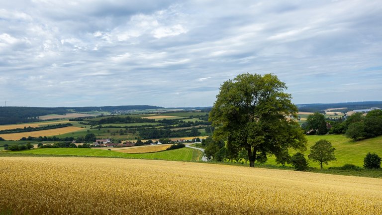
But the path in this area was not ideally marked and so I managed to get lost. Fortunately, however, I came across a path leading in my direction. And so, after a short round walk, I was able to enjoy the view of the Neresheim monastery, which I would not have been able to reach with a map. After an hour, the phone woke up again and started working as if nothing had happened. Apparently there was a charging problem and the software needed time to determine the correct charge value.
Jenže cesta v tomto místě, nebyla ideálně značená a tak se mi podařilo se ztratit. Naštěstí jsem, ale narazil na stezku vedoucí mým směrem. A tak jsem si po malé zacházce mohl užít výhled na klášter Neresheim, kam bych s mapou nedošel. Po hodině se telefon znovu probudil a začal fungovat jako by nic. Zřejmě byl problém s nabíjením a software potřeboval čas na určení správné hodnoty nabití.
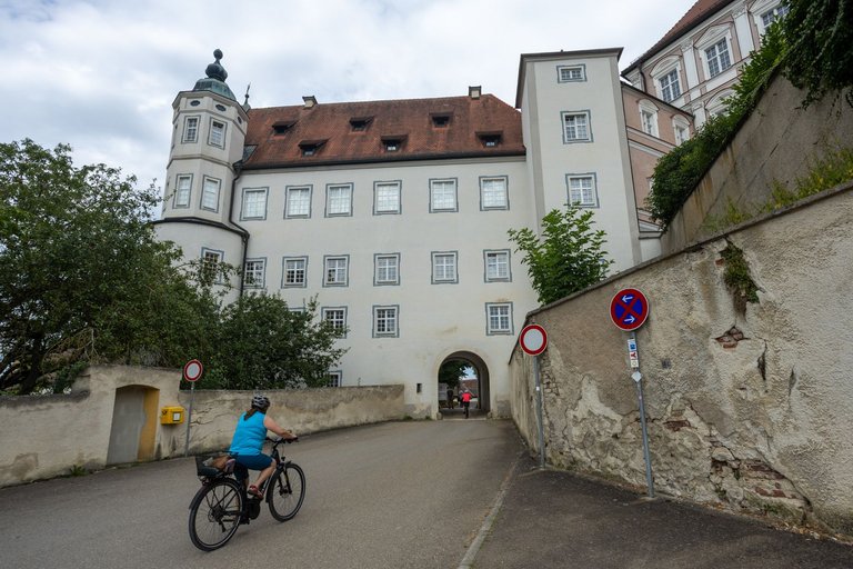
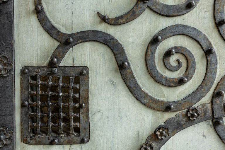
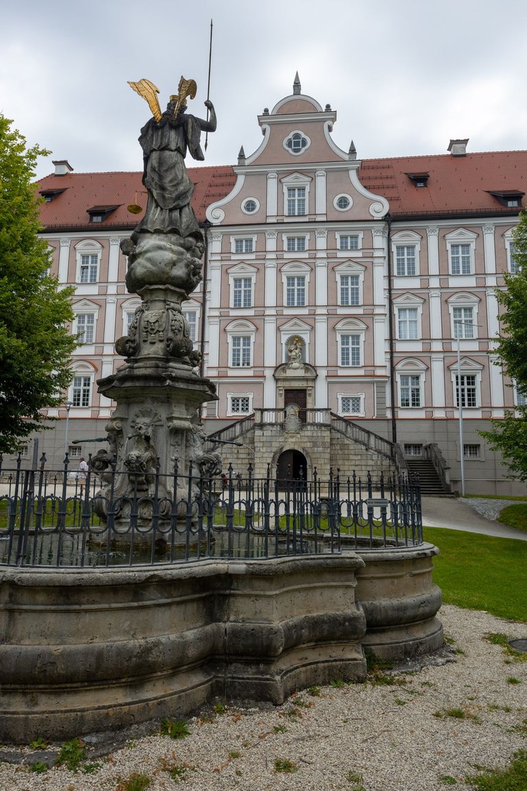
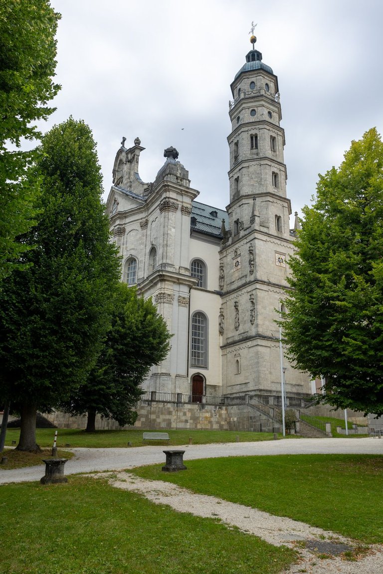
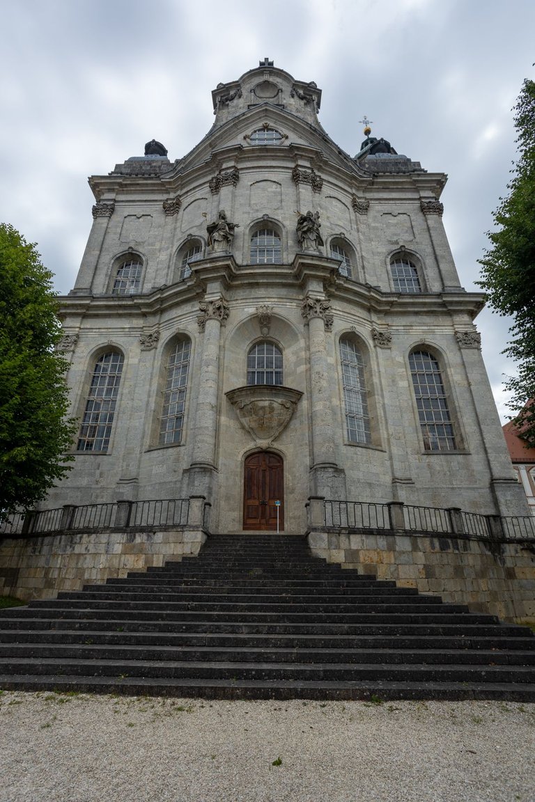
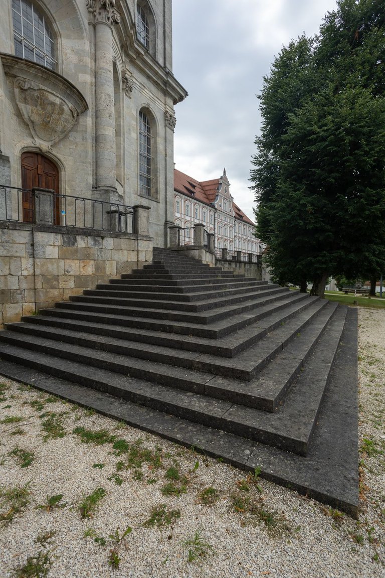
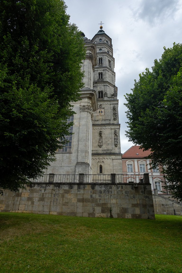
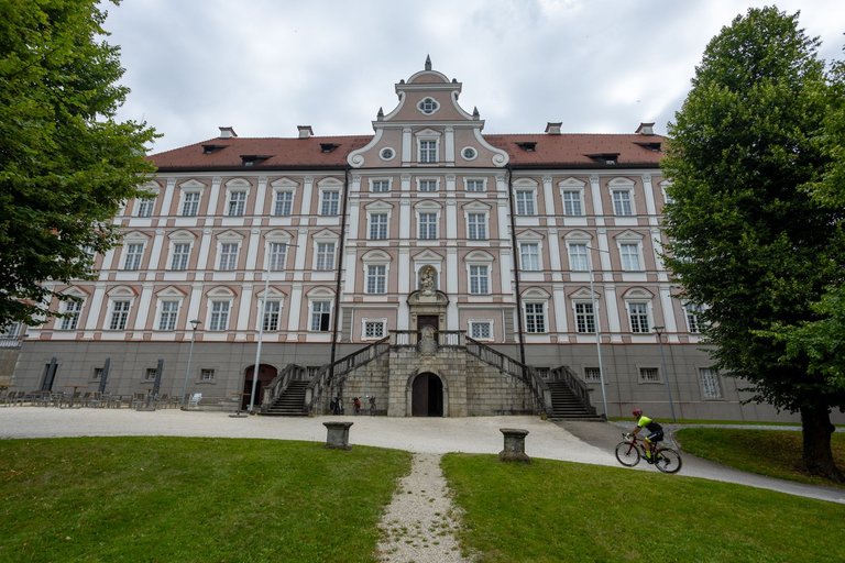
After the problem solved itself, I could explore the monastery grounds in peace. The history of the monastery dates back to 1095 when there was a Romanesque church. In 1695, the Romanesque church was rebuilt into a Baroque cathedral. During several wars, the monastery was destroyed. And it was restored again in 1802. It changed its land location several times due to wars until 1810. When was finaly transferred from Bavaria to the Kingdom of Württemberg. In 1919 was the monastery again occupied by monks from the Beuron Archabbey and the Emaus Monastery in Prague.
Potom co se problém sám vyřešil, jsem mohl v klidu prozkoumat klášterní areál. Historie kláštera sahá do roku 1095 kdy zde byl románský kostel. V roce 1695 byl románský kostel, přestavěn na barokní katedrálu. Během několika válek byl klášter poničen. A znovu obnoven až v roce 1802. Do roku 1810 několikrát změnil zemskou polohu díky válkám. Nakonec byl z Bavorska převeden do Württeberského království. Teprve v roce 1919 byl klášter znovu obsazen mnichy z Beuron Archabbey a Emauzského kláštera v Praze.
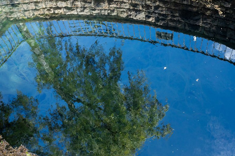
After leaving the monastery, I headed towards the grocery store. To replenish the supply mainly of water, which was in short supply in the limestone landscape. I noticed the source of the Egau river on the map. There was quite a lot of water coming out here, but it didn't look drinkable at first glance.
Po opuštění kláštera jsem se vydal směrem k obchodu s potravinami. Abych doplnil zásoby hlavně vody, které bylo ve vápencové krajině nedostatek. V mapě jsem si všiml pramene říčky Egau. Vytékalo zde poměrně dost vody, ale nevypadala na první pohled pitně.
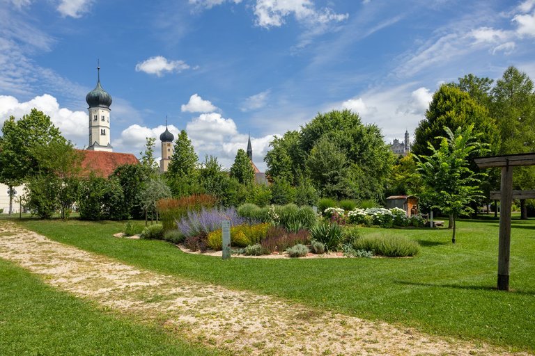
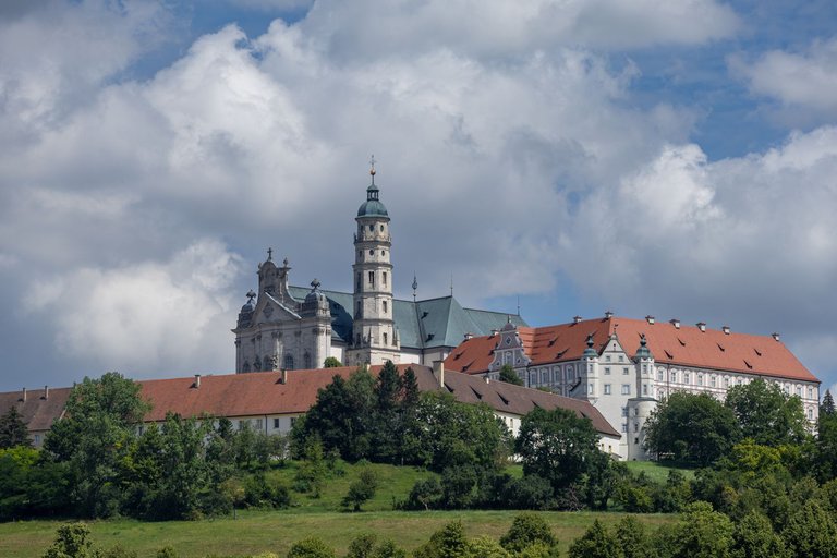
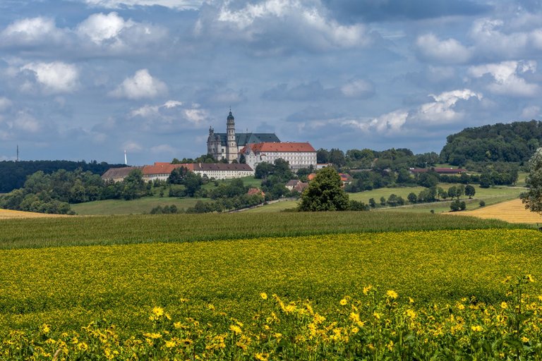
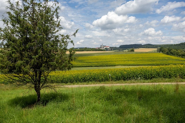
I continued around the river to the city garden and then further up the hill above the city. Where were the limestone meadows and the view of the monastery.
Kolem říčky jsem pokračoval do městské zahrady a pak dále do kopce nad město. Kde byly zase vápencové louky a výhled na klášter.
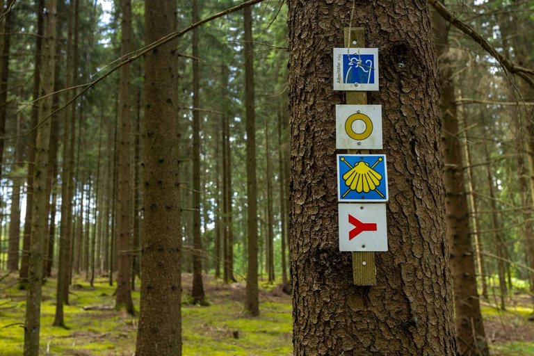
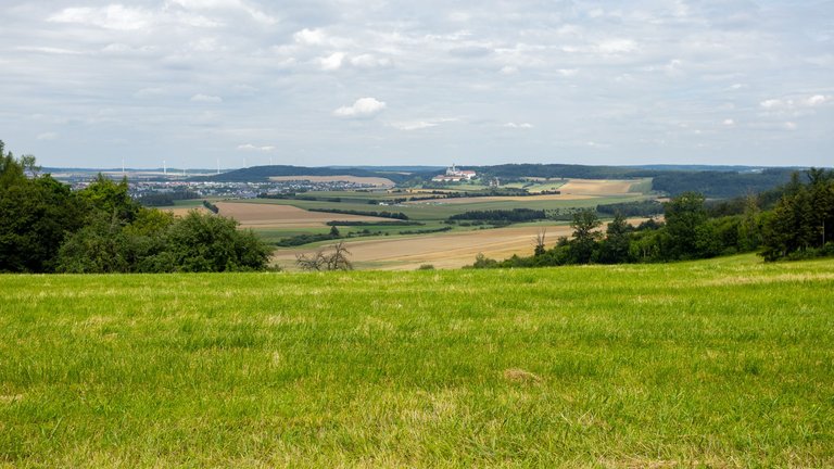
On my way through the forest, past the bison enclosure and through the village of Auernheim, I climbed to a ridge 650 meters above sea level, from where I last saw the monastery and its surroundings.
Cestou přes les, kolem ohrady se zubry a přes vesnici Auernheim jsem vystoupal na hřeben do výšky 650 metrů nad mořem, odkud jsem naposledy viděl klášter a jeho okolí.
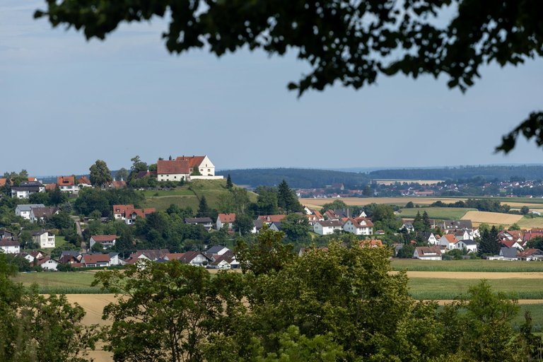
Then I had a long journey through the forest past the wind farms. When I reached the village of Staufen, from where there was again a view of the surrounding countryside. I had a small snack and continued to the village.
Pak mě čekala dlouhá cesta lesem kolem větrných elektráren. Až jsem došel nad vesnici Staufen odkud byl opět výhled do okolní krajiny. Dal jsem si malou svačinku a pokračoval do vesnice.
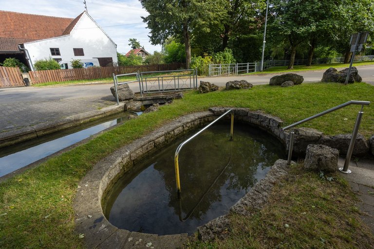
Here the Zwergbach brook had its source in a spring named Kling. The spring looked more like a small swimming pool, so I took advantage of it and washed my feet in the ice water.
Zde pramenil potok Zwergbach v prameni jménem Kling. Prameniště vypadalo spíše jako malé koupaliště a tak jsem toho využil a v ledové vodě si umyl nohy.
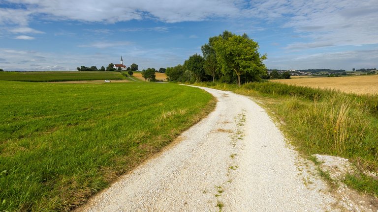
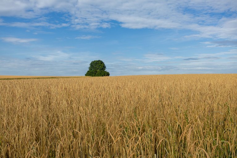
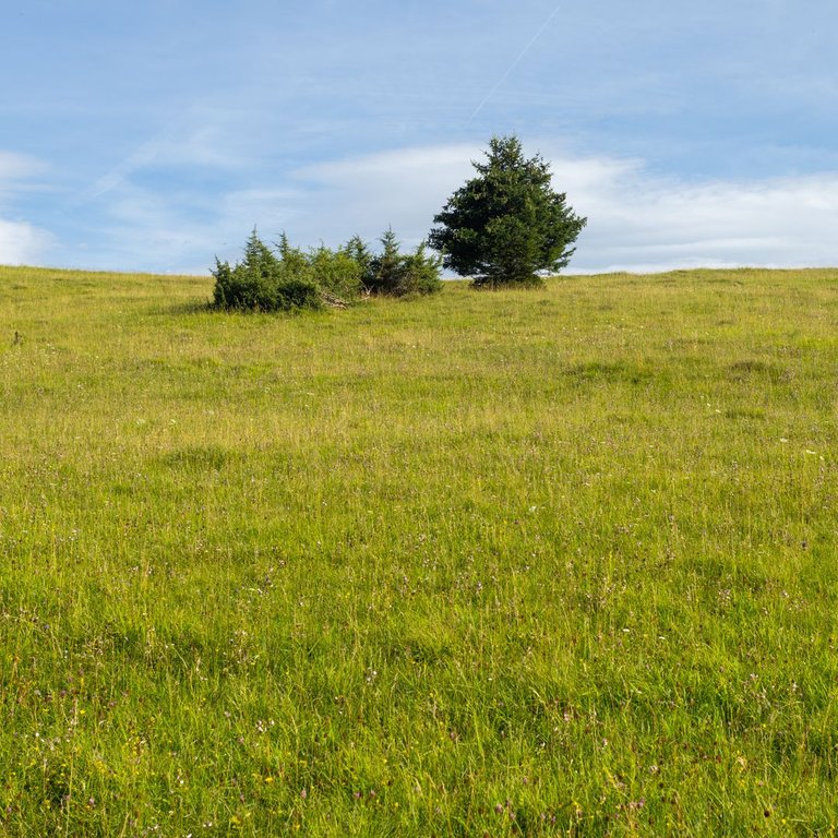
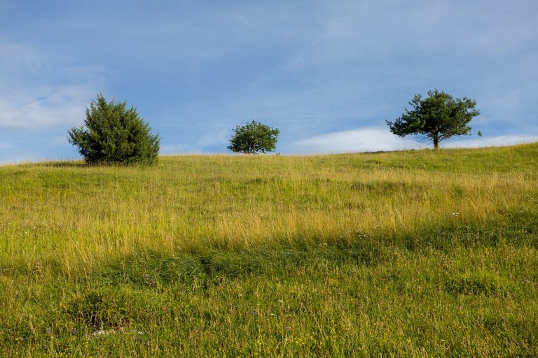
After leaving the village, fields, meadows, forests and steppes awaited me again. Before I reached the town of Giengen an der Brenz.
Po opuštění vesnice mě opět čekali pole, louky, lesy a stepy. Než jsem došel do městečka Giengen an der Brenz.
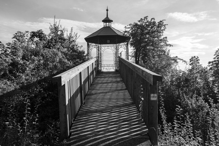
Here I headed first for the view over the city. From where there was only view to the industrial part of town.
Zde jsem zamířil nejprve na vyhlídku nad městem. Odkud byl výhled pouze na industriál.
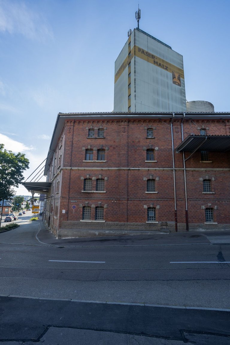
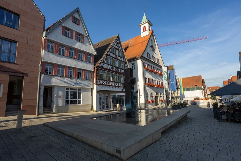
It was really hot and I was running low on water again, so I headed to the grocery store again. And I bought an ice cream to go with the water to cool off a bit. Then I continued through the center to the river Brenz. Where I had to pass through the Muslim quarter and overcome a steep climb from the river.
Bylo strašné vedro a opět mi docházela zásoba vody a tak jsem opět zamířil do obchodu s potravinami. A k vodě jsem si koupil zmrzlinu, abych se trochu ochladil. Pak jsem přes centrum pokračoval k řece Brenz. Kde jsem musel projít muslimskou čtvrtí a překonat prudké stoupání od řeky.
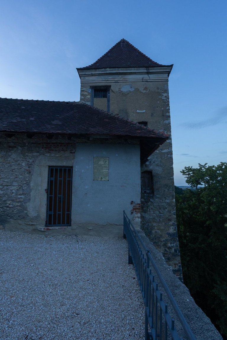
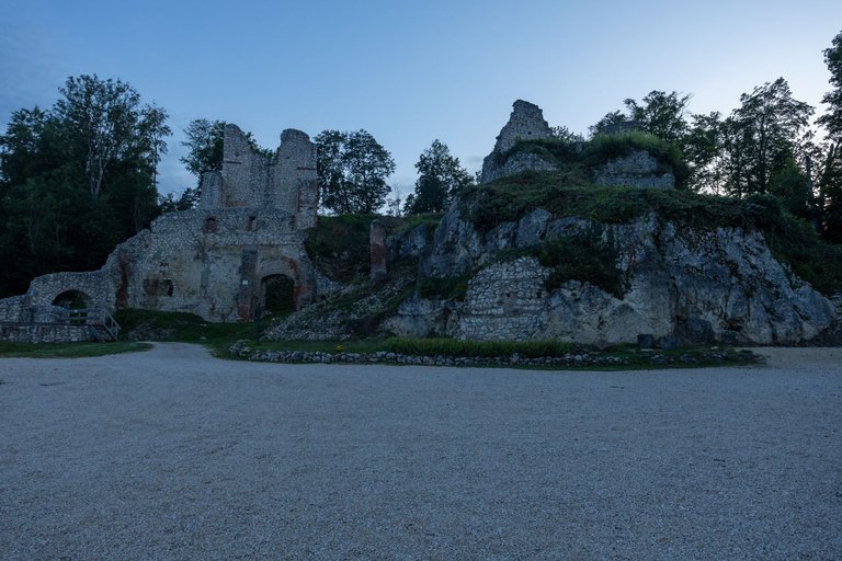
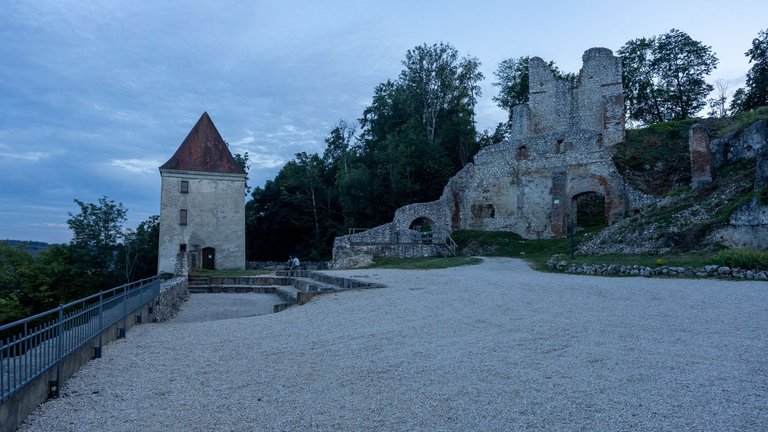
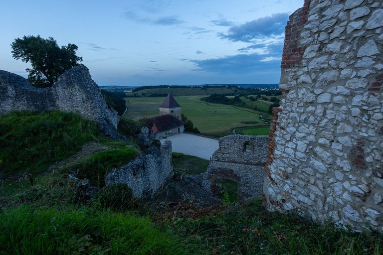
Next, I had a long journey through fields and meadows. Fortunately, the sunset was approaching, so the heat subsided. The original plan was to spend the night in the meadow near Charlottenhöhle. But after being attacked by about 50 mosquitoes and 10 horse flyes in 10 seconds. The plan quickly changed and I continued on to the nearby Kaltenburg Castle. Where there was just a young couple who were making a fire here. They left with the sunset. I used the remains of the fire and roasted a sausage and when it got dark I went to bed.
Dále mě čekala dlouhá cesta skrze pole a louky. Naštěstí se blížil západ slunce a tak se vedro mírnilo. Původní plán byl přenocovat na louce u Charlottenhöhle. Ale poté co jsem byl během 10 sekund napaden asi 50 komáry a 10 ovády. Plán se rychle změnil a já pokračoval na nedaleký hrad Kaltenburg. Kde byl akorát mladý pár, který si zde dělal oheň a se západem slunce odešly. Využil jsem zbytků ohně a opekl si klobásu. A když se setmělo, šel jsem spát.
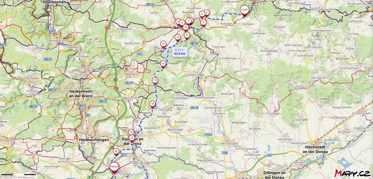
Route from Hungerberghöhle to Kaltenburg - Full map link
| Kilometers walked | Meters Up | Meters Down |
|---|---|---|
| 614.7 Km | 9805 meters | 9506 meters |
Jan Hus Trail - Prague (CZ) / Day 1 - part 1
Jan Hus Trail - Prague (CZ) / Day 1 - part 2
Jan Hus Trail - Prague to Beroun (CZ) / Day 2
Jan Hus Trail - Beroun to Skryjská jezírka (CZ) / Day 3
Jan Hus Trail - Skryjská jezírka to Kralovice (CZ) / Day 4
Jan Hus Trail - Kralovice to Rabštejn nad Střelou (CZ) / Day 5
Jan Hus Trail - Rabštejn nad Střelou to Konstantinovy Lázně (CZ) / Day 6
Jan Hus Trail - Konstantinovy Lázně to Tachov (CZ) / Day 7
Jan Hus Trail - Tachov (CZ) - Plößberg (GER) / Day 8
Jan Hus Trail - Plößberg - Kohlberg (GER) / Day 9
Jan Hus Trail - Kohlberg - Högen (GER) / Day 10
Jan Hus Trail - Högen - Eichelberg (339m) (GER) / Day 11
Jan Hus Trail - Eichelberg (339m) - Nurnberg Hbf (GER) / Day 12
Jan Hus Trail / Jakobsweg - Nurnberg Hbf - Schwabach (GER) / Day 12 and half
Jan Hus Trail / Jakobsweg - Schwabach - Brombach (GER) / Day 13
Jan Hus Trail / Jakobsweg - From Brombach to Hainsfarth (GER) / Day 14
Jan Hus Trail / Jakobsweg - From Hainsfarth to Hungerberghöhle (GER) / Day 15

Mám tyto tvé repotáže z cesty hrozně rád. To jdeš fakt pěšky?
Zajímavé jsou ty piktogramy, u nás jsem nikdy nic podobného neviděl
Spousta lidí se diví tomu, že chodím pěšky. Mě to přijde jako nejzajímavější možné cestování. Poznáš krajinu, dostaneš se do míst kam by jsi autem, nebo veřejnou dopravou nedojel a hlavně potkáš místní lidi a když umíš trochu řeč tak se dozvíš spoustu zajímavých věcí. Ty piktogramy jsou označení turistických cest. V Německu jich je tolik, že si nevystačí jen s barvami jako u nás. Kolečko většinou znamená okružní trasa kolem nějakého místa. Třeba kolem malého městečka. Ty Ypsylony jsou většinou poutní stezky, ale může to být stezka třeba přes Bavorsko. Tam pak záleží na barvě a otočení symbolu.
Máš můj obdiv, je to úžasné
Congratulations, your post has been added to WorldMapPin! 🎉
Did you know you have your own profile map?
And every post has their own map too!
Want to have your post on the map too?
Hiya, @ybanezkim26 here, just swinging by to let you know that this post made it into our Honorable Mentions in Travel Digest #2294.
Your post has been manually curated by the @worldmappin team. If you like what we're doing, please drop by to check out all the rest of today's great posts and consider supporting other authors like yourself and us so we can keep the project going!
Become part of our travel community: