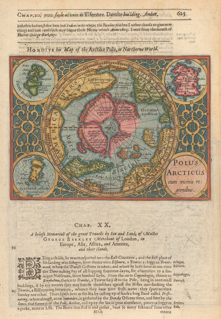
Polus Arcticus cum vicinus regionibus
By: Samuel Purchas / Henricus Hondius
Date: 1625 (Published) London
Dimensions: 5.25 inches x 7.25 inches (13.33 cm x 18.4 cm)
This intriguing and beautiful Polar Projection is the result of a joint effort undertaken by Samuel Purchas and Henricus Hondius, son of Jodocus Hondius. Mercator had published the original version of this map in 1569, in which the influence of Jodocus Hondius, father of Henricus Hondius is obvious.
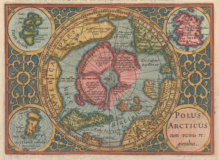
This version of this striking map depicts the North Polar regions and the northern boundaries of several continents. At the map's center is a depiction of a large rock, believed to be the northern most point of the world. An early theory was that ocean currents were distributed from this point by way of four rivers, which separated four large land masses, that would flow southward to "Glaciale Mare." The supposed NW and NE passages are clearly visible as is the fictitious island of Frislant (Firsland and Frislandia in other maps), complete with numerous towns and ports. California as described by Spanish explorers is depicted as an enormous land mass. The Davis Straits along with marvelous details in the NE coast of Asia, above the Arctic Circle are also depicted as is Nova Zemble, Scandinavia, Greenland, and Iceland.
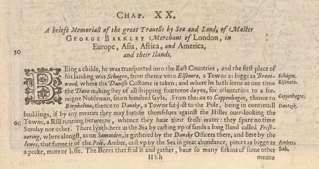
English text above and below the map and on the verso tell of the travels of one George Barkley, a Merchant of London, whose travels took him to the four corners of the world. Interesting details such as the description of a piece of amber which contained the complete body of a frog are rendered in the text on both sides. The verso features a Hondius’ Map of Borussia, or Prussia.
Sometimes I kind of wish these imaginings were true! Great post!
Yeah. I'd be down to vacation in Frisland! Maybe the week before the London Map Fair.