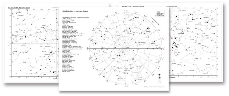
In a project at University we made printable sky maps, we was organizing an hiking journey and give sky charts to all participants. I put the bundle on my website free to download. Hope it will be useful to someone.
It contain :
- Northern regions generic sky chart.
- Southern regions generic sky chart.
- Equatorial regions generic sky chart.
- User read guide.
Wish you all make wonderful observations !
You can download here : https://laazarus.com/pages/ressources

If you have questions on how to print our to use those maps, tell me here :
Congratulations @laazarus! You received a personal award!
You can view your badges on your Steem Board and compare to others on the Steem Ranking
Do not miss the last post from @steemitboard:
Vote for @Steemitboard as a witness to get one more award and increased upvotes!
Congratulations @laazarus! You received a personal award!
You can view your badges on your Steem Board and compare to others on the Steem Ranking
Do not miss the last post from @steemitboard:
Vote for @Steemitboard as a witness to get one more award and increased upvotes!