Autumn on Long Island is a spectacular time of year. The ocean is relatively warm and that keeps the growing season going for an extra few weeks as opposed to inland areas which cool down faster. We look forward the fall colors that will emerge soon. In the meantime we continue to relish in a dry air mass. The dry air gets re-enforced today thanks to Hurricane Teddy. It is passing to our east today by about 500 miles and heading for Nova Scotia. Our winds go around to northwest and with sunshine we should see highs reach the upper 60s and lower 70s this afternoon.
SATELLITE
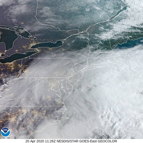
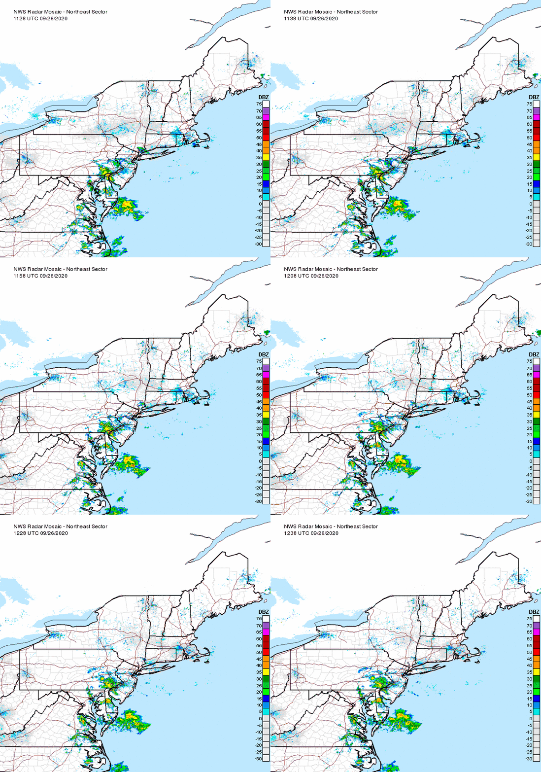
The satellite picture shows the western edge of the high clouds from Hurricane Teddy touching Eastern Long Island. The air on the west side of the hurricane is sinking and dries out the atmosphere. Obviously the radar will remain silent here today and probably right into the weekend.
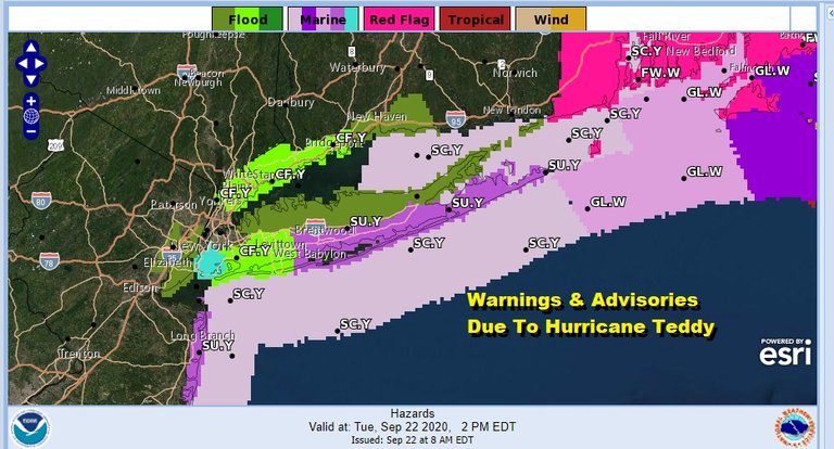
The issues today involve the shoreline with rip currents, rough surf and coastal flooding. Coastal flood advisories are posted today for parts of Long Island. Minor coastal flooding is expected at high tides between 11am and 4pm. Surf will be 6 to 12 feet as waves come crashing into the coastline. Rip currents will be a big issue making swimming dangerous even for the most expert of swimmers.
There are no real changes in the outlook going forward. Look for sunshine on Wednesday and it will turn warmer with winds going west and then west southwest. Highs will reach the mid 70s to around 80 degrees.
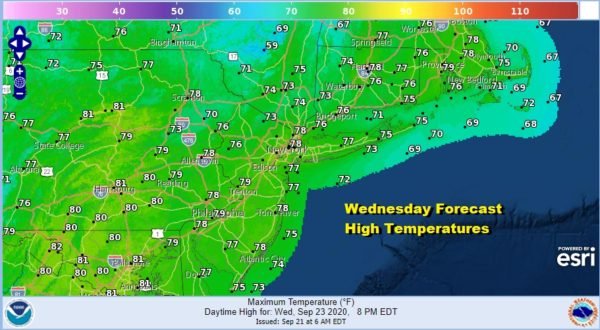
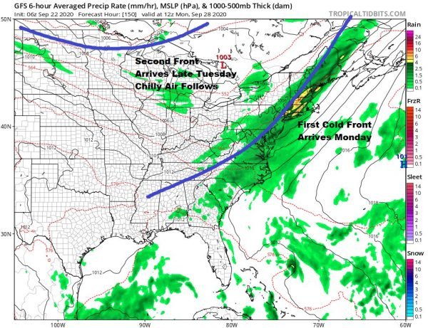
Thursday looks sunny with highs reaching the upper 70s to lower 80s. The offshore high remains in control through the weekend but we will start to see some nighttime and morning low clouds develop and then that burns off to sunshine. Highs will be in the upper 70s to lower 80s each day from Friday through Sunday. We will finally see the first of two cold fronts approach on Sunday with a good chance for showers late in the day or more than likely Sunday night into Monday.
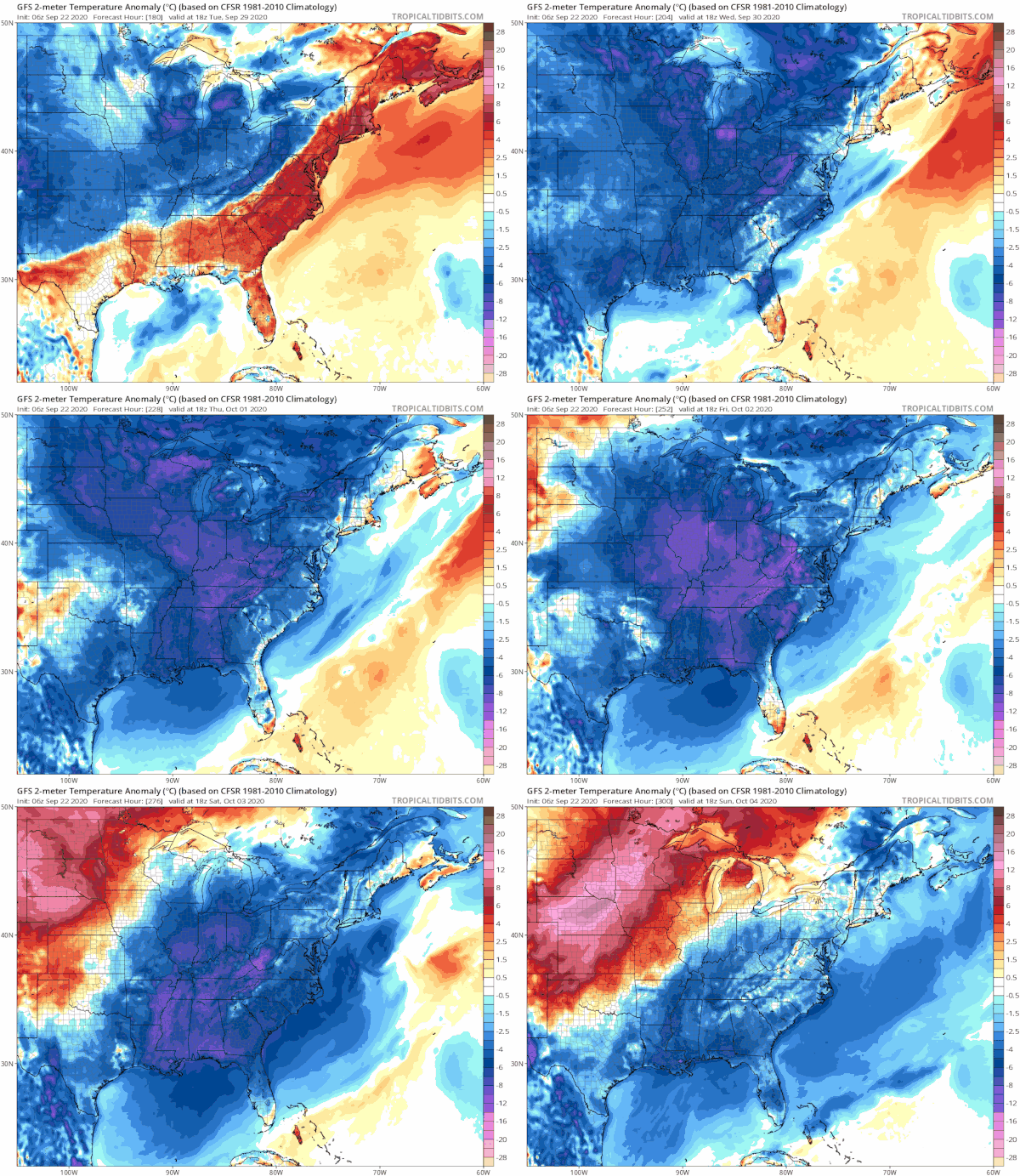
Once that front passes we will have to wait for a second front to arrive late Tuesday with another round of showers. After this front passes chilly air from Canada returns and we are in for a stretch of below average temperatures later next week. That pattern suggests possibilities for more rain down the road which will help to alleviate the dry conditions that have developed recently.
Below normal temperatures will likely be back Wednesday and carry us for 5 or six days. There is a rather deep trough forecast in the Eastern US late next week and that looks to set us up for a large high building across the Great Lakes and Northeast with lower pressures to the south. As long as nothing develops in the tropics, it should manageable and part of the process of that atmosphere cooling down. In the meantime the great weather continues here for the next few days.
Please note that with regards to any tropical storms or hurricanes, should a storm be threatening, please consult your local National Weather Service office or your local government officials about what action you should be taking to protect life and property.
Posted from my blog with SteemPress : https://www.weatherlongisland.com/long-island-autumn-arrives-weather-continues-dry-hurricane-teddy-east-rip-currents-rough-surf/
Congratulations @joewxman! You have completed the following achievement on the Hive blockchain and have been rewarded with new badge(s) :
You can view your badges on your board and compare yourself to others in the Ranking
If you no longer want to receive notifications, reply to this comment with the word
STOPDo not miss the last post from @hivebuzz: