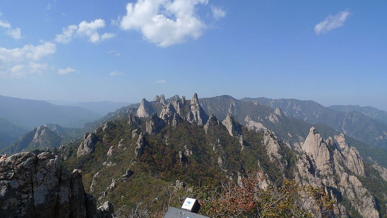
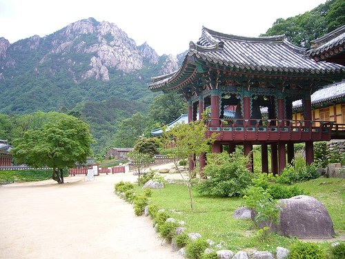
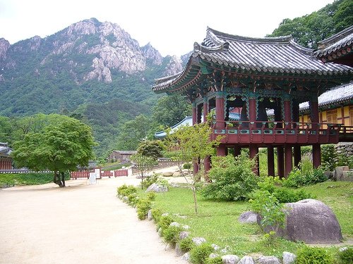
大家好,从今天起,我将介绍韩国的山。
请快乐~~
Hello everyone, from today, I will introduce the mountains of Korea.
Please be happy ~ ~
最好的照片
The best photo
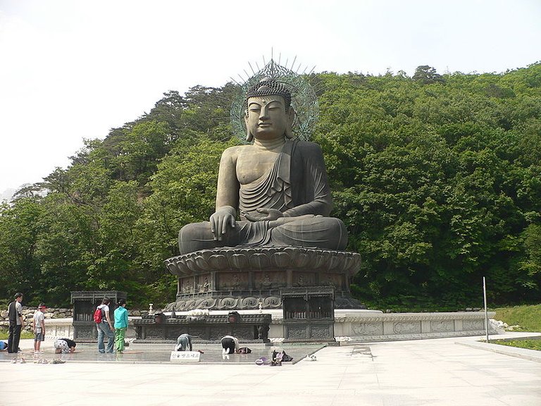
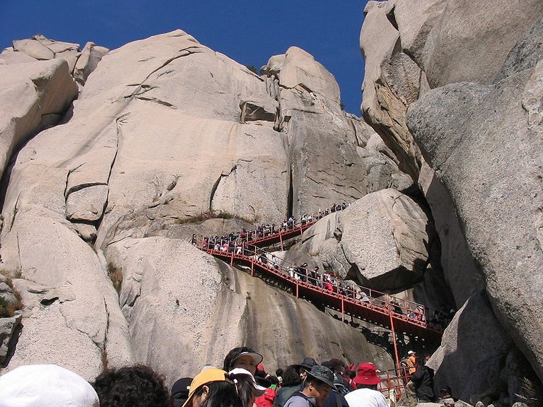
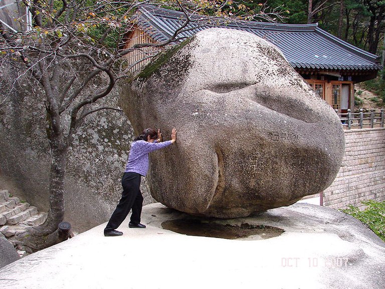
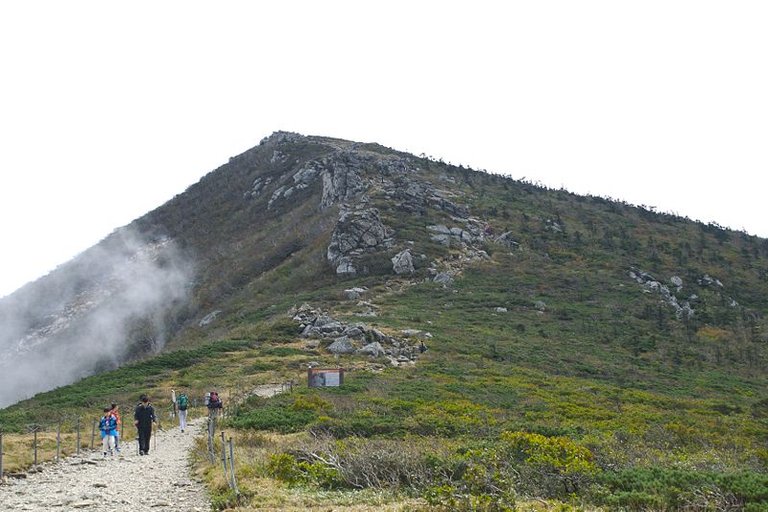
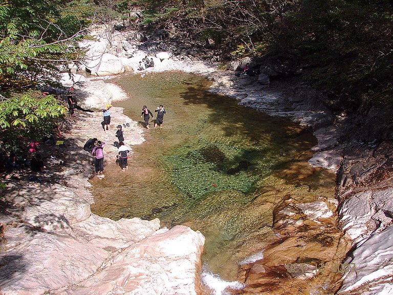
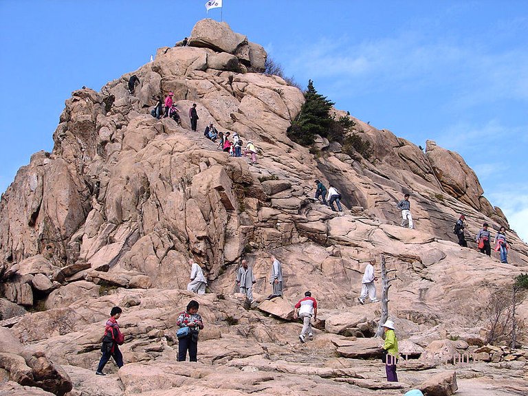
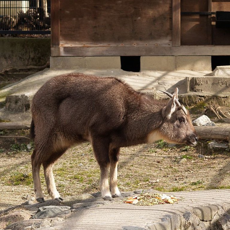
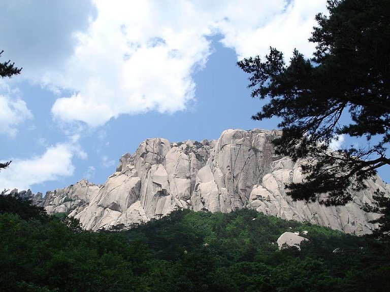
雪嶽山國立公園 (Seoraksan National Park)
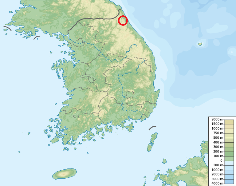
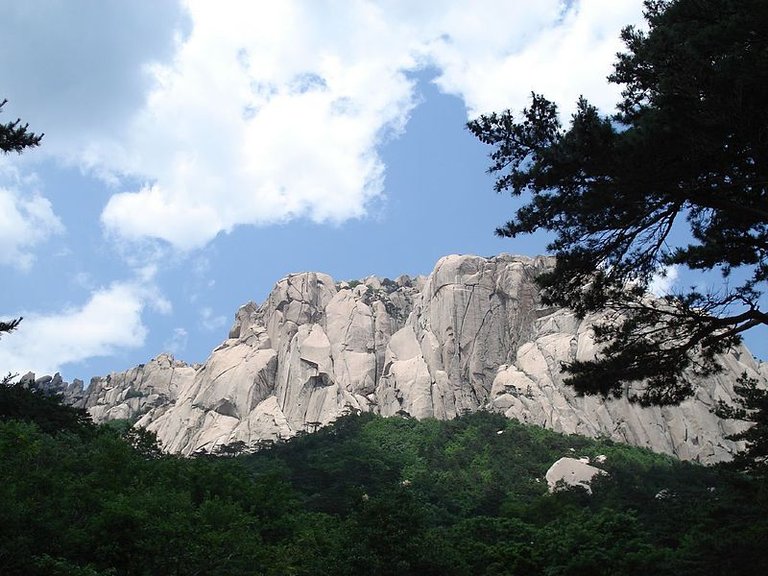
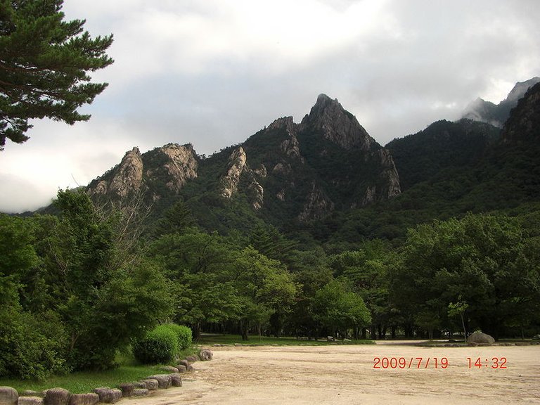
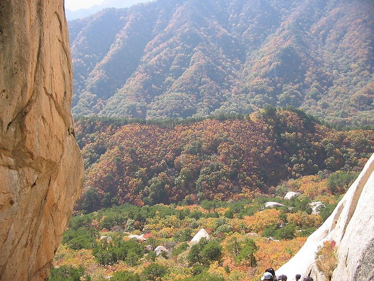
雪嶽山國立公園(朝鮮語:설악산국립공원/雪嶽山國立公園 Seolaksan Gungnip Gongwon */?)是位於韓國江原道束草市、襄陽郡、麟蹄郡、高城郡的山岳型國立公園。1970年3月24日與俗離山國立公園、漢拏山國立公園被同時指定,總面積398平方公里。
Seoraksan National Park (Korean: 설악 산 국 립 공원 / Segaaksan National Park Seolaksan Gungnip Gongwon) is a mountain-style national park located in Gangwon-do, Japan, Xiangyang County, Lincheon County, Gaocheng County. On March 24, 1970, the National Park of Hannah Mountain National Park was designated at the same time, with a total area of 398 square kilometers.
雪嶽山位于太白山脉北部緊臨江原道束草市是韩国东部山地的最高峰,高达1708米,因山顶一年有五六个月被白雪覆盖而得名。[2] 雪嶽山於1965年時被指定為天然紀念物保護區 117號。
Seorak Mountain is located in the northern part of the Taibai Mountains close to Jiangyuan Road, the grass is the highest mountain in eastern Korea, up to 1708 meters, due to the top of the year there are five or six months was named after the snow. [2] Seoraksan was designated as Natural Monument Conservation Area No. 117 in 1965.
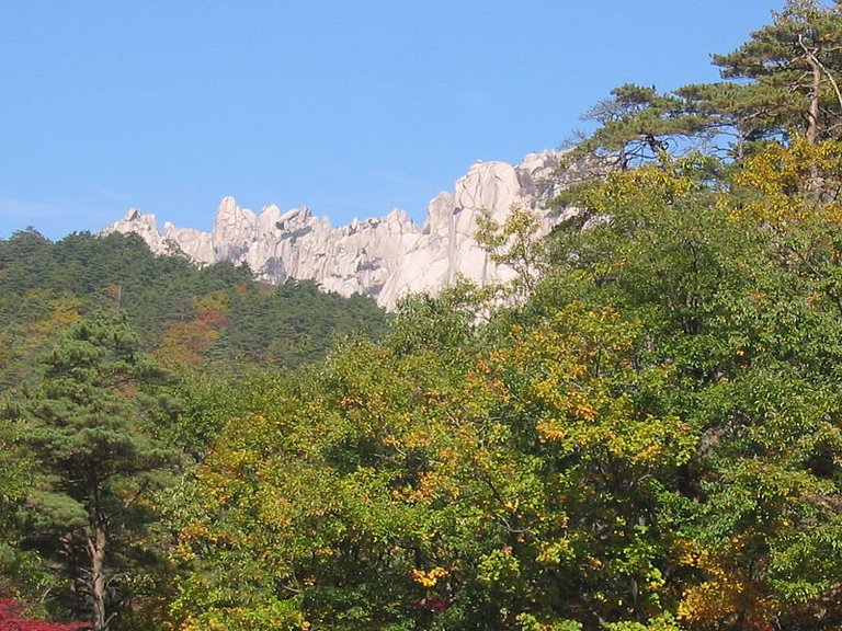
沿革 (History)
1965年11月5日:雪嶽山天然保護區域指定 (天然紀念物第171號)。
1970年3月24日:國立公園指定。
1982年8月12日:生物圈保護區指定 (聯合國教科文組織)。
1987年8月5日:雪嶽山國立公園五色、百潭、長壽台分所開所。
1991年4月23日:國立公園業務移管 (建設部→內務部)。
1998年2月28日:國立公園業務移管 (內務部→環境部)。
2003年8月30日:國立公園區域追加指定 (398.53km²)。
November 5, 1965: Seoraksan Natural Protection Area Designation (Natural Monument No. 171).
March 24, 1970: National Park Designated.
August 12, 1982: Designated by the Biosphere Reserve (United Nations Educational, Scientific and Cultural Organization).
August 5, 1987: Seoraksan National Park colored, 100 Lake, longevity office opened.
April 23, 1991: National Park Business Management (Ministry of Construction - Ministry of Internal Affairs).
February 28, 1998: National Park Business Management (Ministry of the Interior → Ministry of the Environment).
August 30, 2003: National Park area additional designation (398.53km²).
江原道 (Gangwon-do)
江原道(韓語:강원도)位於朝鮮半島的中東部,橫跨南北韓的分界線,是歷史上的朝鮮八道之一,早於1395年時已被朝鮮王朝劃分,名稱是取自江陵(강릉)和原州(원주)。自從第二次世界大戰南北分治後,江原道一直都被南北兩方各佔一半(江原道 (韓國)、江原道 (朝鮮)),韓戰後仍是如此。為分別南北雙方各自的領土,北韓曾經單方面把北半部改稱「江原北道」,擅自將南韓的統治部分稱為「江原南道」,但這種命名未得到普遍認同而被擱置。
Gangwon-do (강원도) is located in the eastern part of the Korean Peninsula, across the dividing line between North and South Korea, is one of the eight dynasties of history, as early as 1395, has been divided by the Korean dynasty, the name is taken from Jiangling (강릉) And the original state (원주). Since the Second World War north and south after the partition, Gangwon Road has been half of the north and south sides (Gangwon Road (South Korea), Gangwon Road (North Korea)), after the Korean War is still the case. North Korea had unilaterally renamed the northern half of Jiangbei North, which was known as the "Gangnam South Road" without authorization, and the naming was not universally accepted.
朝鲜的江原道有名山金刚山,从韩国江原道的高城郡可参观金刚山。2002年,金刚山观光地区从江原道分离为特别行政区。位於南半部的平昌曾是2010年冬季奧運會的候選舉辦地點,但最終不敵加拿大的溫哥華。其後平昌再度競逐2014年的冬季奧運會舉辦權,但敗給俄羅斯黑海沿岸的索契直到三度申請競逐2018年的冬季奧運會舉辦權才終於成功,讓韓國成為繼日本後第二個舉辦冬奧的亞洲國家。
North Korea's Gangwon-do has a famous mountain Mount Kumgang, and you can visit Mount Kumgang from Gaocheng County, Gangwon-do, Korea. In 2002, the Kumgang Mountain tourist area was separated from Gangwon-do as a special administrative region. Pyeongchang in the southern half was the candidate for the 2010 Winter Olympics, but eventually lost to Vancouver, Canada. Pyeongchang once again compete for the 2014 Winter Olympic Games, but lost to the Russian Black Sea coast Sochi until three times to apply for the 2018 Olympic Winter Games held the right to finally succeed, so that South Korea became the second after Japan Hold the Asian countries of the Winter Olympics.
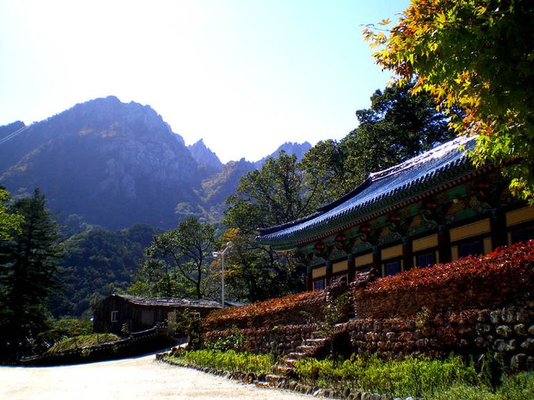
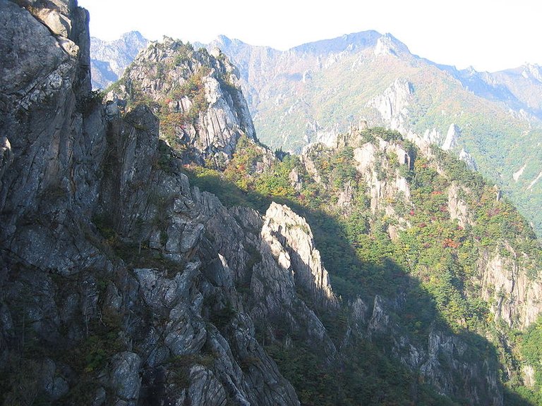

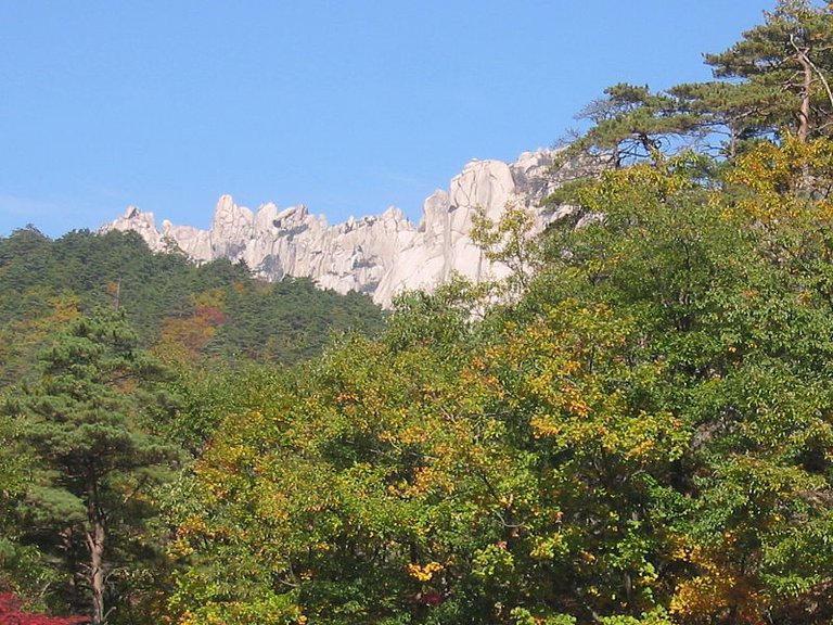
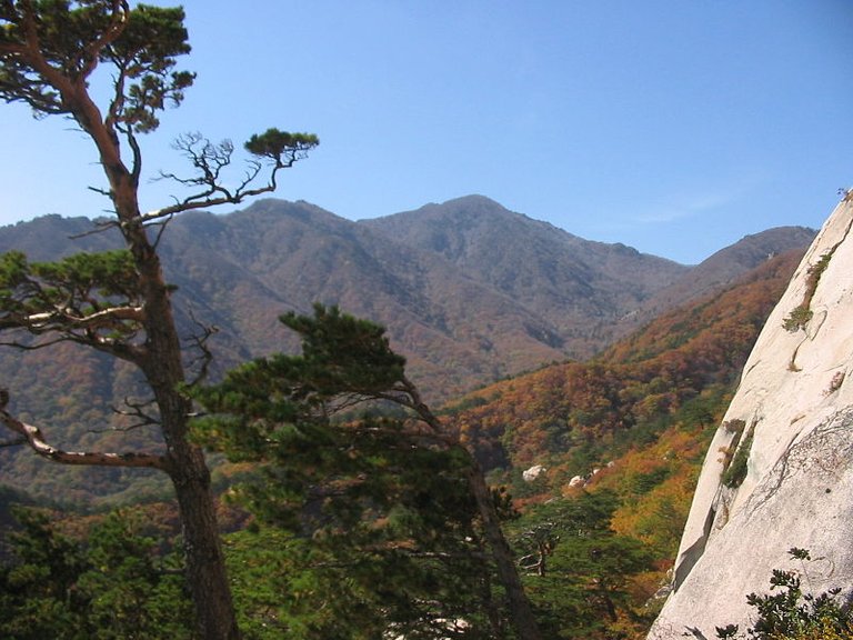
- 雪嶽山國立公園 (Seoraksan National Park)
最近新帖 (Recently new posts)
感谢您的光临,鼓励和支持是最好的幸福!
Thank you for your presence, encouragement and support is the best happiness!
