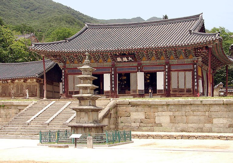
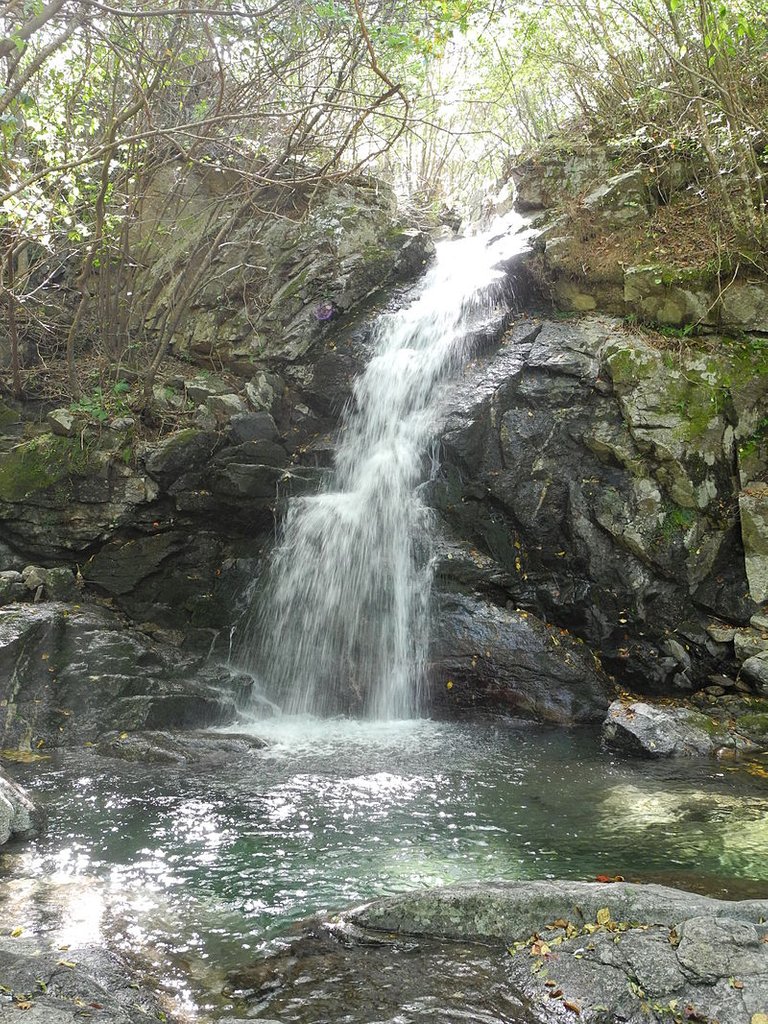
大家好,从今天起,我将介绍韩国的山。
请快乐~~
Hello everyone, from today, I will introduce the mountains of Korea.
Please be happy ~ ~
最好的照片
The best photo
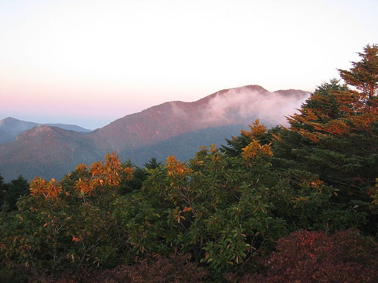
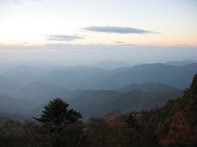
智異山國立公園 (Jirisan National Park)
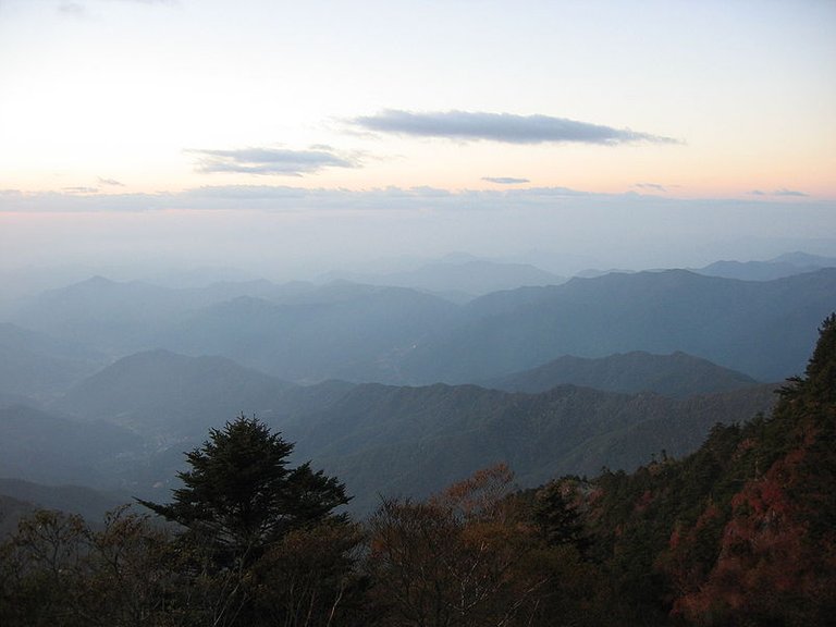
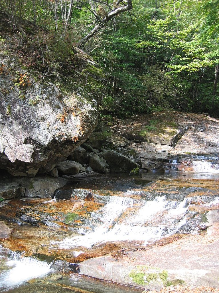
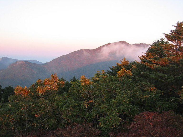
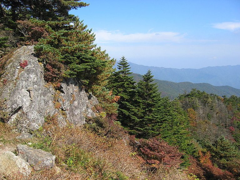
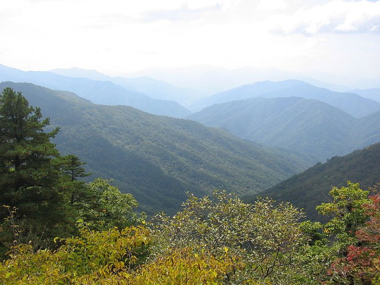
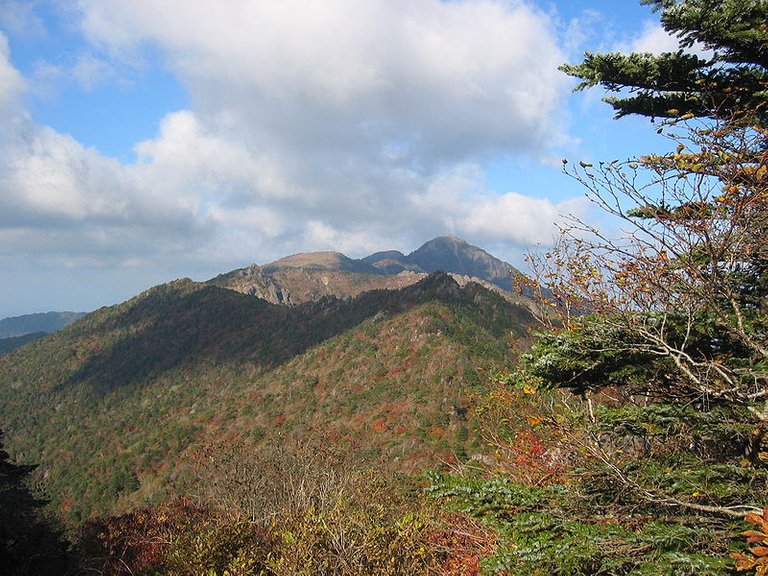
智異山國立公園(朝鮮語:지리산국립공원/智異山國立公園 Jirisan Gungnip Gongwon */?)是位於韓國全羅南道求禮郡、全羅北道南原市以及慶尚南道咸陽郡、山清郡、河東郡的山岳型國立公園。1967年12月29日指定,總面積472平方公里,是韓國最早與陸域面積最大的國立公園。
Jirisan Gungnip Gongwon * is located in South Korea, Jeollanam-do, and Jeonggye-do , Hedong County's mountain-style national park. December 29, 1967 designated, with a total area of 472 square kilometers, is the earliest and largest land area in South Korea's national park.
智異山是位于小白山脈的山峰。論高度是韓國僅次於漢拏山之第二高峰,亦為韓國本土最高峰,主峰天主峰標高海拔1,915公尺,為韓國八景之一。
Jirisan is located in the mountain of small white mountains. On the height of Korea is second only to the second peak of Mount Halla, South Korea is also the highest peak, the main peak of the peak elevation of 1,915 meters, one of South Korea eight.
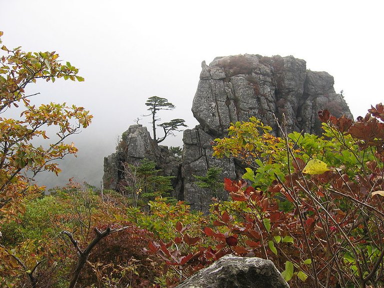
智異山
Wise Mountain
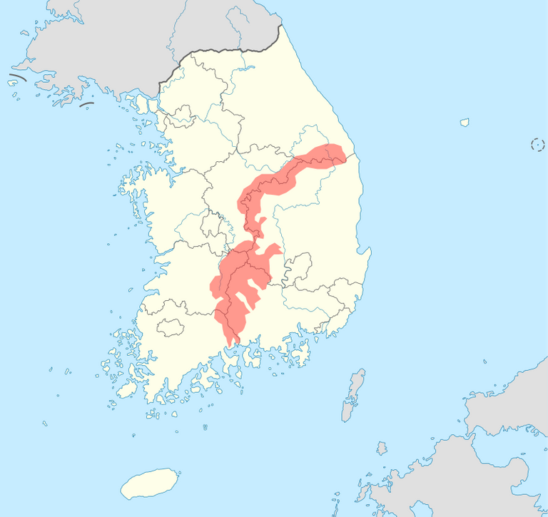
全羅南道求禮郡
Jeollanam-do
華嚴寺
Huayan Temple
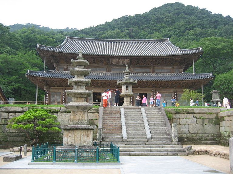
華嚴寺
Huayan Temple
沿革 (History)
1967年12月29日:國立公園第1號指定(建設部公告第164號)。
1971年2月9日:智異山國立公園全羅南道管理事務所開所。
1971年6月10日:智異山國立公園全羅北道管理事務所開所。
1973年6月10日:智異山國立公園慶尙南道管理事務所開所。
1987年7月1日:國立公園管理公團開設(東、北、南部3個事務所開所)。
1991年4月23日:國立公園業務移管(建設部→內務部)。
1998年2月28日:國立公園業務移管(內務部→環境部)。
1998年12月18日:智異山管理事務所統合(北部、南部支所運營)。
1998年12月23日:史蹟及名勝地第7號指定-智異山華嚴寺。
2004年12月30日:更名智異山事務所(北部、南部事務所運營)。
December 29, 1967: National Park No. 1 designation (Ministry of Construction Notice No. 164).
February 9, 1971: Chi Yingshan National Park Jeollanam-do management office opened.
June 10, 1971: Chi Yingshan National Park Jeollabuku Management Office opened.
June 10, 1973: Chiyisaki National Park, Ching Chung South Road Management Office opened.
July 1, 1987: National Park Management Corporation (East, North, South three offices opened).
April 23, 1991: National Park Business Management (Ministry of Construction - Ministry of Internal Affairs).
February 28, 1998: National Park Business Management (Ministry of the Interior → Ministry of the Environment).
December 18, 1998: Chi Yishan Management Office (North, Southern Branch Operations).
December 23, 1998: Historical sites and places of interest designated No. 7 - Chi Yung Shan Temple.
December 30, 2004: Renamed Zhixiangshan Office (North, Southern Firm).
全羅北道 (Jeollabuk-do)
全羅北道(朝鮮語:전라북도/全羅北道 Jeolla-buk do)是韩国西南部的一个道。
全羅北道离汉江240公里。北据忠清南道、南接全羅南道、东邻庆尚北道、西临黄海,提供从韩国到中国大陆之間距离最近的路线。
全罗北道总面积大约8,043平方公里,占全国面积的8.1%。有6个市、8个郡,还有很多小邑。首府全州的面积大约206.3平方公里。全羅北道的道廳位於全州市。
年平均气温是摄氏13.2度,冬季平均气温是1.2摄氏度,夏季平均气温是摄氏26.4度。年平均降水量是1,200毫米。
在1995年开始人口有稳定地增加(男女比值是49.5比50.3),约占全国人口的4.3%。
Jeolla-do (North Korea: 전라 북도 / Jeolla-buk do) is a road in southwestern Korea.
Jeollabuk Road from the Han River 240 km. North of Chungcheongnam Road, south of Jeollanam-do, east of Gyeongsangbuk-do, west of the Yellow Sea, providing the closest route from South Korea to the Chinese mainland.
The total area of Jeollabuk-do is about 8,043 square kilometers, accounting for 8.1% of the total area. There are six cities, eight counties, there are many small town. The capital of the state covers an area of about 206.3 square kilometers. Jeollabuk-do is located in Quanzhou.
The average annual temperature is 13.2 degrees Celsius, the average winter temperature is 1.2 degrees Celsius, the average summer temperature is 26.4 degrees Celsius. The average annual precipitation is 1,200 mm.
In 1995, the population began to increase steadily (male to female ratio was 49.5 vs 50.3), accounting for 4.3% of the population.
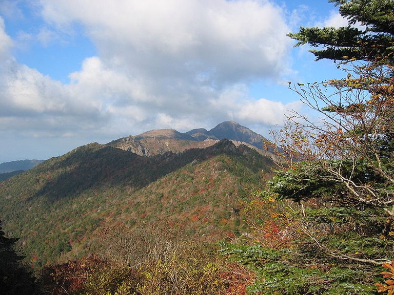

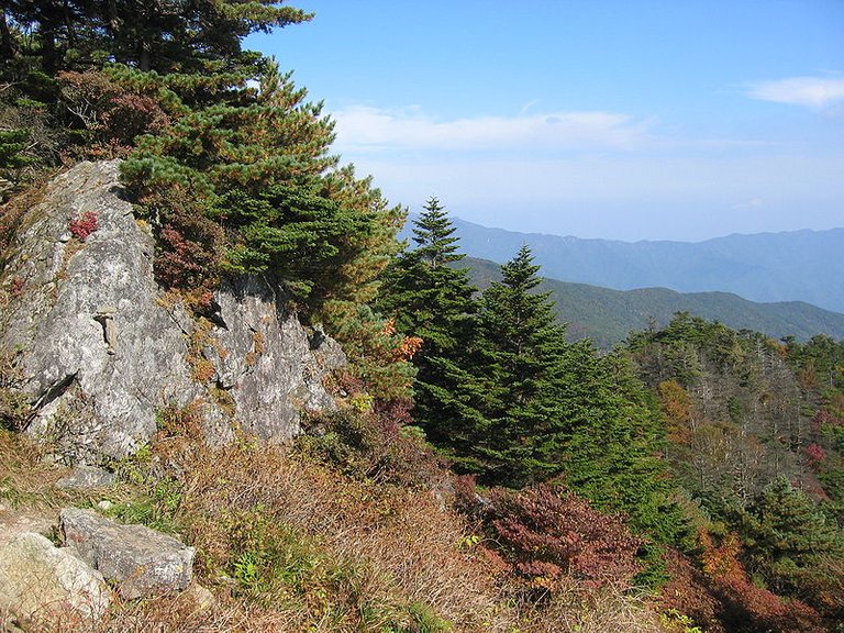
- 智異山國立公園 (Jirisan National Park)
最近新帖 (Recently new posts)
在韩国引进名山 - 雪嶽山國立公園 ( 江原道束草市)
在韩国引进名山 - 漢拏山 (济州岛)
感谢您的光临,鼓励和支持是最好的幸福!
Thank you for your presence, encouragement and support is the best happiness!
