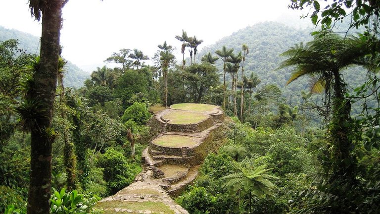
I mentioned Cape Farewell, Greenland, showing a waterfall there, in my last post - "Expanding on Waterfalls."
It sits on an alignment that globally connects with two sides of the North American Star Tetrahedron. Please bear with me on this as I try to explain this in words, and how it relates to the topic at hand.
Cape Farewell is connected with the global alignment that emanates off of the Edmonton, Alberta; Saskatoon, Saskatchewan; Winnipeg, Manitoba; Thunder Bay, Ontario; Sault Ste. Marie, Ontario; and Ottawa, Ontario, side of the Star Tetrahedron.
On the other side of Cape Farewell, this same alignment goes through Saglek Bay, Labrador; Kuujjuaq, Quebec; and the Belcher Islands in the Hudson Bay, before it connects with the side of the Tetrahedron that goes through through James Bay, Hudson Bay; Red Lake Ontario; Lake of the Woods, ONT/MN; Winnipeg, Manitoba; Minot, ND; Miles City, MT; Billings, MT; Yellowstone Park, WY; Pocatello, ID; Elko, NV; Reno, NV; Sierra Nevada Mountains, CA; San Francisco, CA; and Yosemite Falls, CA, and so on as it leaves North America and starts going over the Pacific Island groups.
This is a global alignment, and since I have a long list of places it goes through, in this post I am going to specifically focus on the islands that fall on it around the world.
First, starting with the Faeroe Islands, the first place the alignment comes to when it leaves Cape Farewell, and before it crosses over points starting in Trondheim, Norway, through Sweden, Finland, Russia, and Siberia, before it crosses over the Bering Sea and enters into North America at Nome, Alaska, and then head down through Alaska, and eventually through all of the capital cities of the Canadian provinces which are just north of the U.S. border, and on down the line.
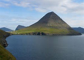
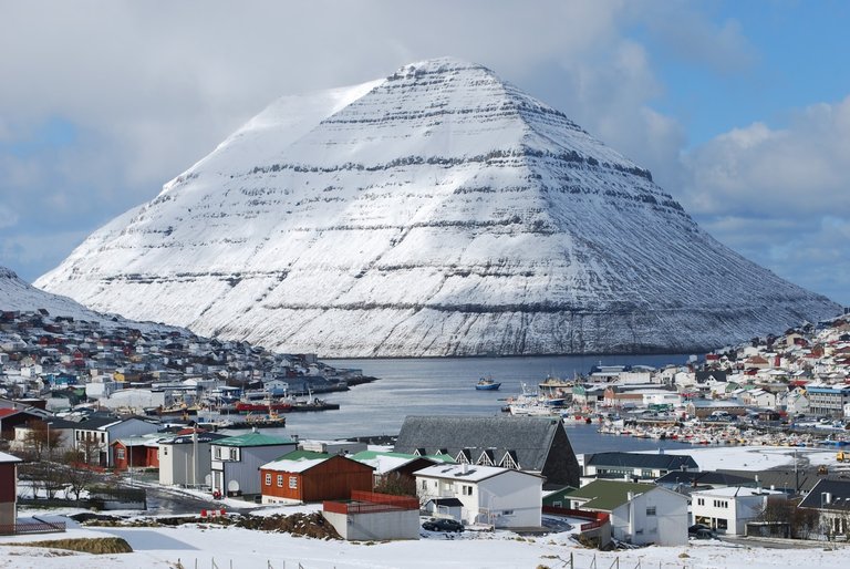
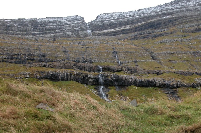
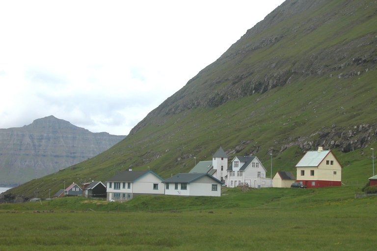
The Faeroes lay north of Scotland between the Shetland Islands and Iceland. They belong to an administrative division of Denmark, and are home to approximately 50,000 people. If you look up the history of these islands, it is quite vague, with references to St. Brendan, a seafaring monk in the 6th century who described and island of sheep and a paradise of birds.
Let's take a look at them:
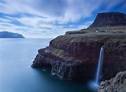
All this for some sheep and some birds...
As I mentioned above, from the Faeroes, the alignment passes through all of those countries in Europe, and after entering in Alaska, goes on down the line in North America.
So moving on down this alignment, next is Isle Royale, which is located in Lake Superior. An alignment directly on the Star Tetrahedron goes right through here.
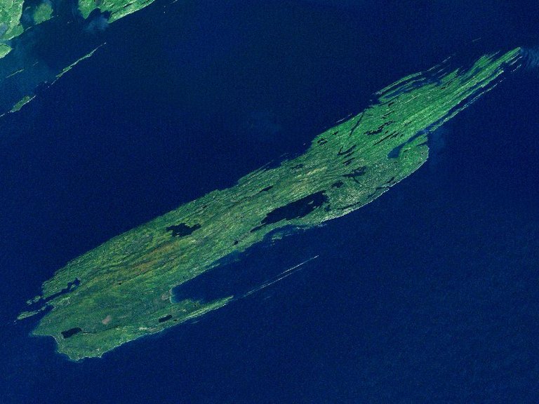
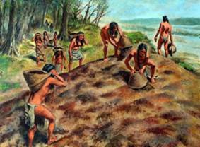
Isle Royale is known for its ancient copper mines. As a matter of fact, the copper from Isle Royale was being mined extensively in the Bronze Age, around 3,000 BC, and was considered the purest copper in the world. And nobody can really explain who was responsible for the mining, and how it got to Europe.
The best they can come up with is also how they explain the people who built the mounds. And they definitely can't explain how it got to Europe. This a conundrum that confounds the construct that guides our knowledge of history.
Western Archeologists tell us that somehow Indians in loincloths figured out how to mine copper 5,000 years ago, and that somehow, we really don't know how, it got to Bronze-Age Europe before there was transoceanic trade:
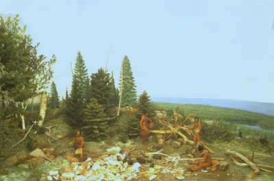
And you will see this at every acknowledged mound site in North America: The mounds were built by Indians in loincloths, one basketful of dirt at a time....
Yea, right. I don't think so.
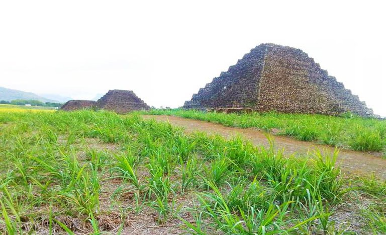
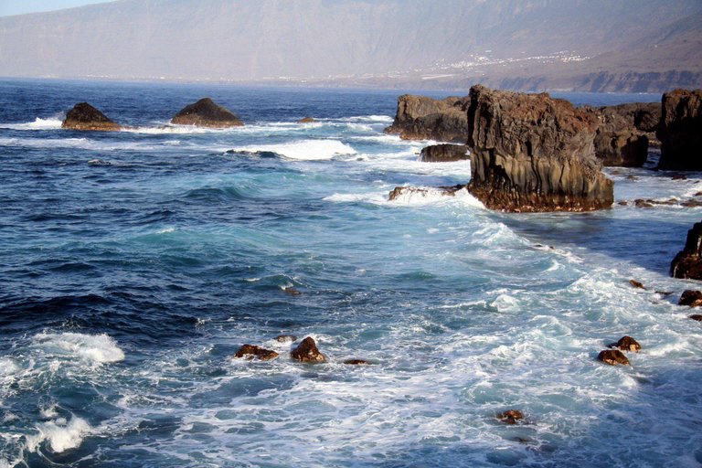
Moving along, the next islands on the alignment are the Canary Islands. While the Canary Islands are an autonomous community of Spain, they are actually physically located within a 1,000 miles of the coast of Morocco, and as a matter of fact the alignment crosses from there into Morocco at Laayoune (which means Springs, which is another frequent feature on these gridlines).
I have read from many different sources that there was a major connection between the Canary Islands and Atlantis. Things like they are parts of Atlantis that remained above water. Whatever the case may be, there are some really interesting things on the Canaries.
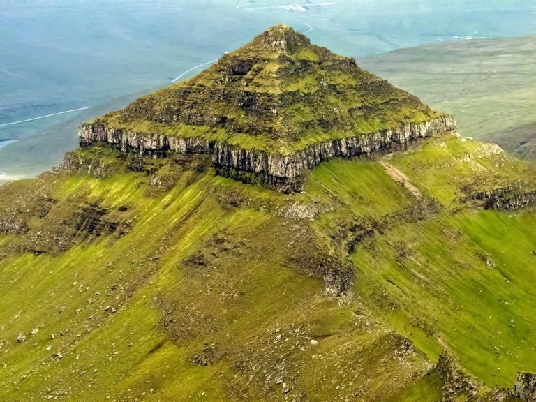
This includes the Guimar Pyramids, which are on the alignment, and are comprised of six rectangular terraced structures built from lava stone without the use of mortar:
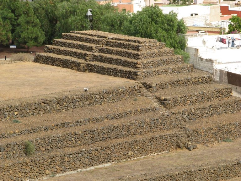
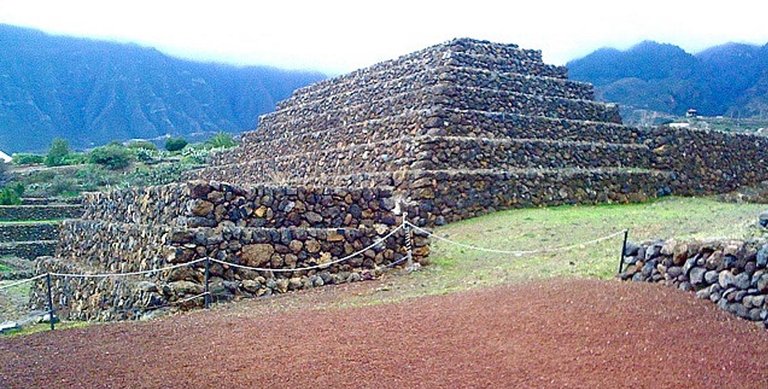
This is a good spot to put in a comparison photo of the pyramids on the island of Mauritius, which is on the other side of Africa, and which are aligned to the sun. I learned about the similarities in style between Guimar and Mauritius from a Megalithomania presentation by Antoine Gigal, a multi-talented Frenchwomen who is an Egyptologist and Archeologist. Her work contains some very interesting finds about the Ancients.
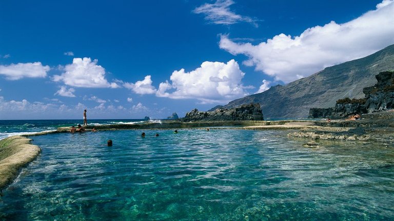
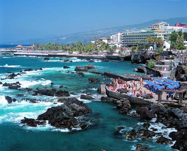
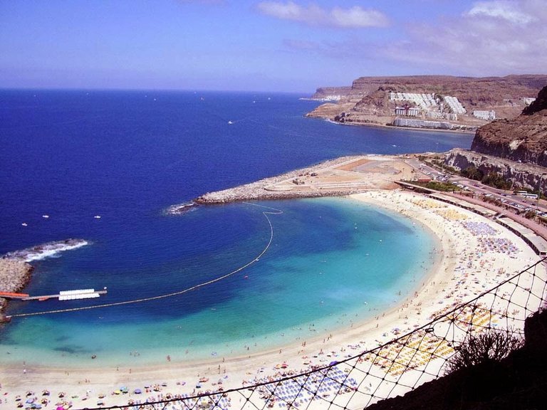
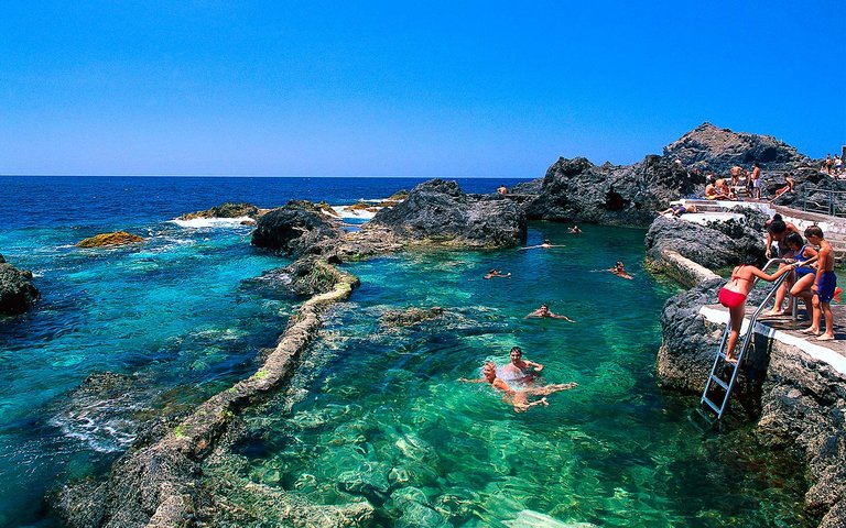
Other photos from the Canary Islands:
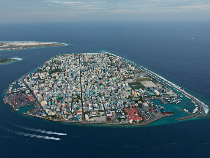
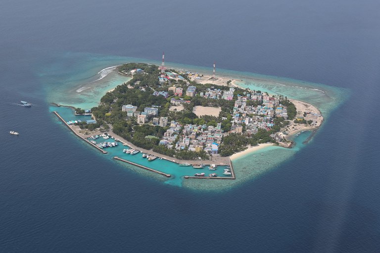
On the other side of the alignment going through Africa, you come to the Maldives, a sovereign state in the Indian Ocean, situated in the Arabian Sea, and southwest of Sri Lanka and India. It crosses over in the area of Male, the capital city of this island country.
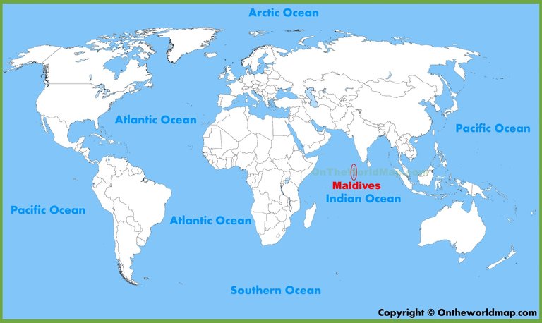
The top photo is the capital, Male, and the bottom is a nearby resort. Of particular interest are the nicely engineered protected harbors on both islands, and the straight street alignment in the top photo bisecting the island.
The next island the alignment touches is Timor, part of the Malay Archipelago, at Kupang in West Timor:
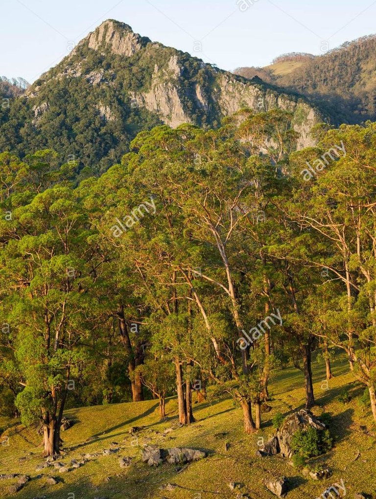
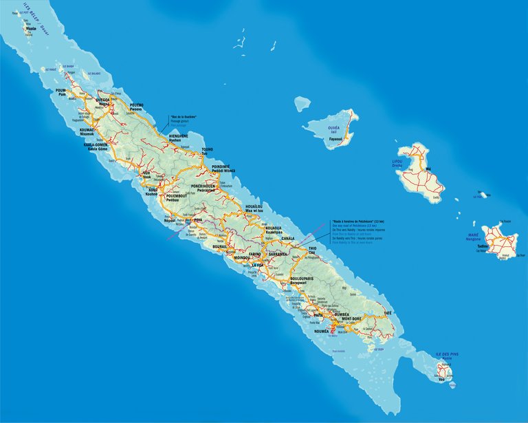
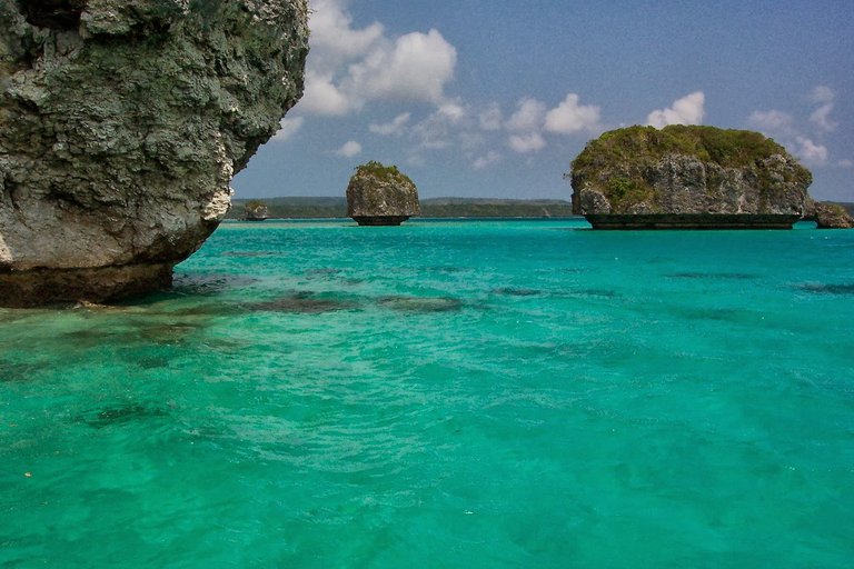
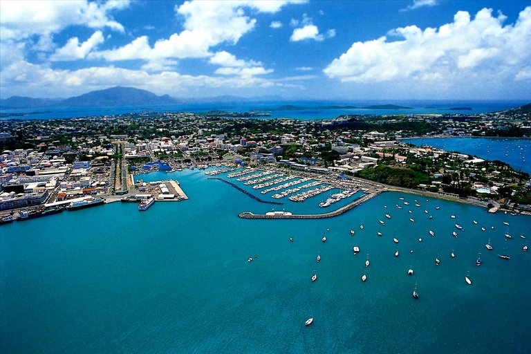
The next island stop is New Caledonia. This island grouping is called a French "Collectivity." The alignment goes through the capital of Noumea, on the west side of the southern end of the big main island:
Also in Noumea, notice the nicely shaped protected harbor, and the massive stones there.
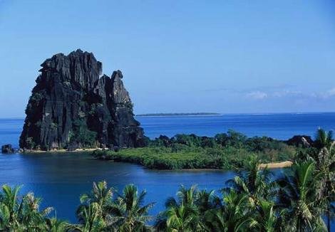
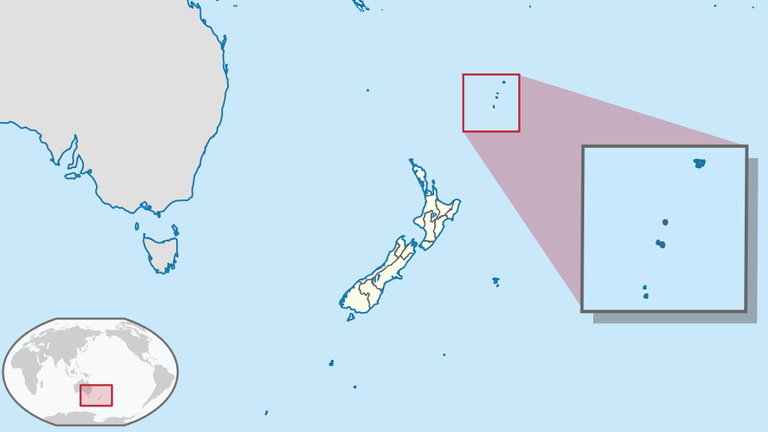
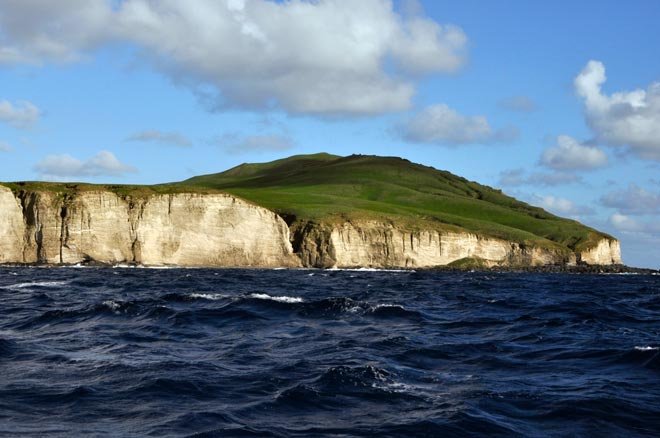
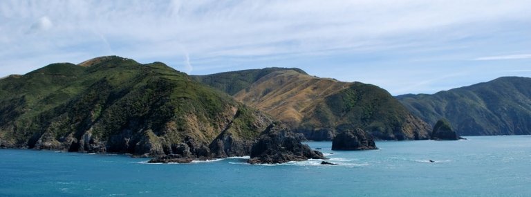
From here, the alignment goes on to cross the Kermadec Islands. These islands are considered part of New Zealand, and are 600 miles Northeast of there. They are a Nature and Marine Reserve, and the only human presence is a permanently manned station at Raoul Island.
Photos of the islands include:
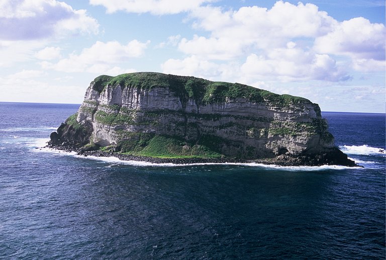
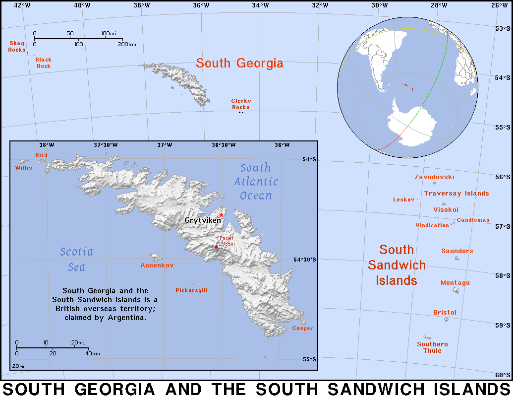
Next, the alignment goes through the South Sandwich Islands. This is interesting - Britain calls it an overseas Territory, and it is also claimed by Argentina. Not unlike the Falklands dispute (which are also on a gridline).
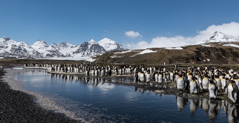
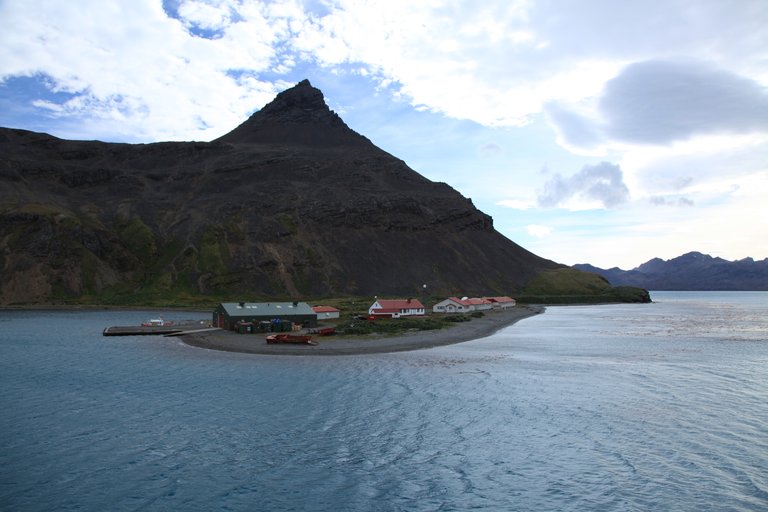
More images from the South Sandwich Islands:
Kind of makes me wonder what European colonialism was really all about....
I just went through islands of one of two sides of the global alignment emanating from the Star Tetrahedron of North America that passes through Cape Farewell, Greenland.
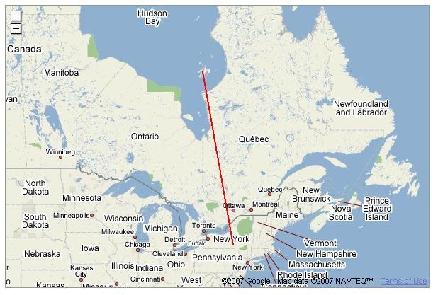
Going in the other direction, after leaving Cape Farewell, Greenland, you come to the obscure and interesting-looking Belcher Islands in the Hudson Bay:
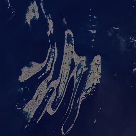
These abstract-art-looking islands, from the air, sit directly on this alignment.
It also appears that the Belcher Islands are in an alignment with other important cities and places on the grid in North America. This alignment passes very close to Ottawa, Ontario - the Capital of Canada, and a location which sits at the intersection of two sides of one of the tetrahedrons, and looks like it is tracking through Philadephia, PA - another significant location:
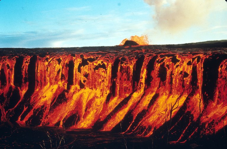
There are no islands on this alignment until after you leave North America and go into the Pacific, the alignment passes over the volcanoes Kilauea & Mauna Loa on the big island of Hawaii. Kilauea is one of the world's most active volcanos:
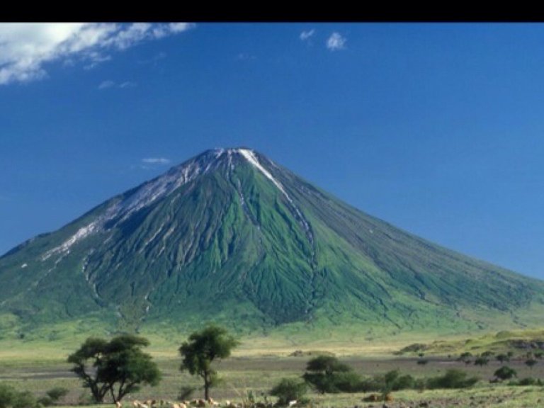
And its neighbor, Mauna Loa, is the world's largest volcano, and is active as well:
I will note here that the lay-out of the Planetary Grid System seems to correspond to the planetary tectonic plates, like there is a symbiotic relationship between the two.
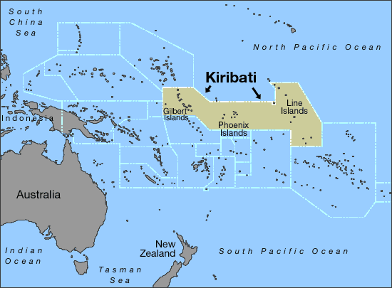
The next islands on this alignment in the Pacific Ocean are the Kiribati Islands - The Republic of Kiribati is a sovereign state in the central Pacific Ocean. Howland Island is in this general area, which is famous as where Amelia Earhardt's plane is believed to have disappeared. Kiribati is also the location of the International Date Line, since 1995.
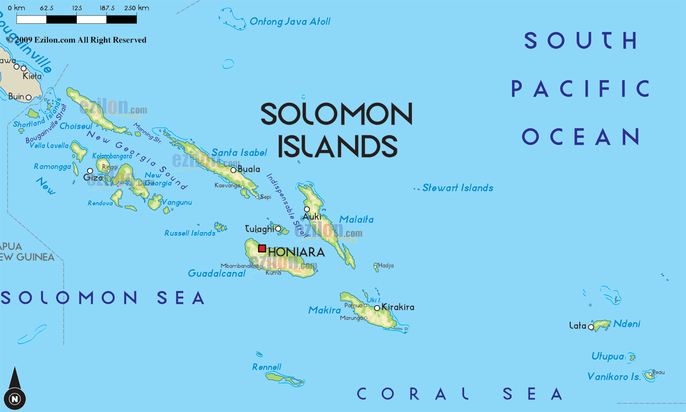
In the Solomon Islands, the alignment runs through several of the islands, including Honiara, the capital. The Solomon Islands contain major battlefields from World War II, including Guadalcanal (which is on another alignment), and the form of government is constitutional monarchy, with Queen Elizabeth II as its head. Now that's interesting....
The last island I am going to share with you in this post is Willis Island. It is the only permanently inhabited island in the Coral Sea Islands Territory, which is an external Territory of Australia. There is a weather monitoring station there.
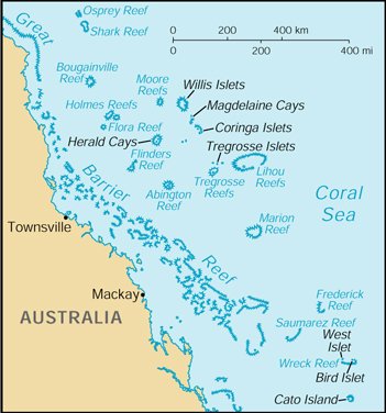
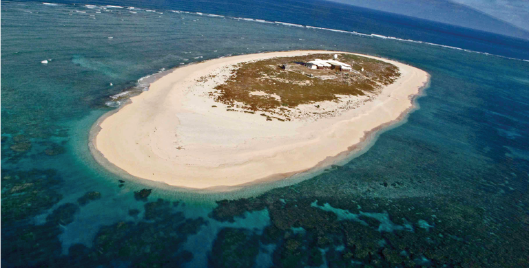
It doesn't look like much, does it? It's directly on the alignment, so it must have some significance in the overall scheme of things.
I am now complete with this post, but have more islands on the grid to tell you about in future posts.
Hi! I am a robot. I just upvoted you! I found similar content that readers might be interested in:
https://piercingtheveilofillusion.com/
It is the same post. You found my website where my main blog is.