Session 45 - September 5th
What to say: I finally manage to complete the same session I had planned to do! It was becoming something impossible. Joking aside, it was a really challenging ride. We are talking about asphalt and roads that after all do not present exaggerated altimetric difficulties, so it's the way I approached the lap, trying to push, which made the training particularly hard. In other words, I have not interpreted today's session as a walk! While trying to keep something for the final climb, the pace I set was quite high for my standards. When I reached the top, at the last kilometer, I had actually exhausted all my energy!
Since it is the first time that I present this tour I also put the link to the animated representation of Relive that is always pretty and interesting to see.
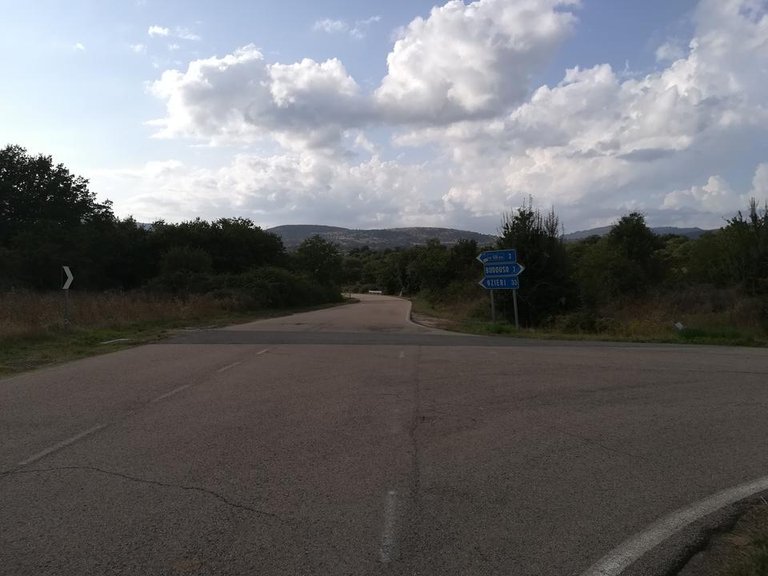
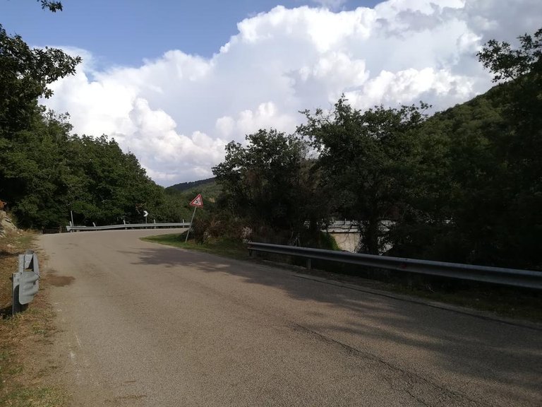
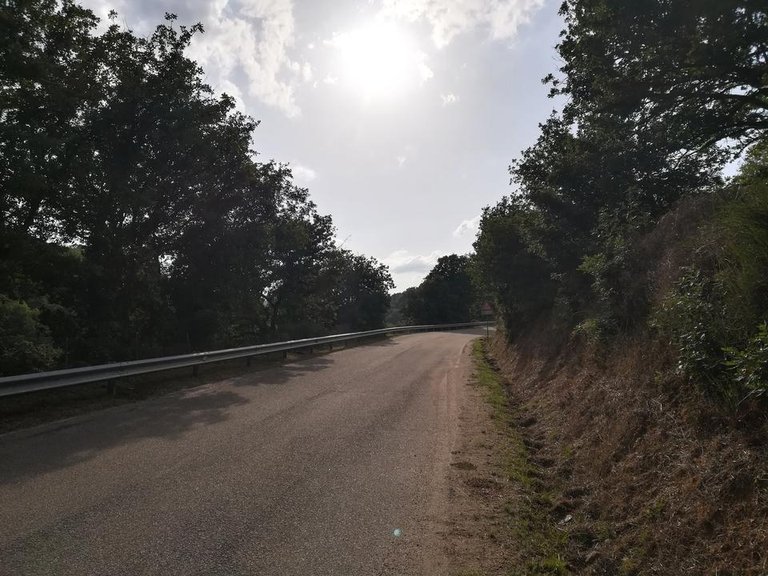
The only thing that I regret is that I did not stop a few more time to take some additional photos (I was particularly focused), because the landscapes that are encountered in this path are very varied. I crossed a couple of towns (besides mine), two bridges over the Tirso (the most important river in Sardinia), a thick wood of cork oaks, and then other much more open areas, where the old railway that connected the scattered villages in the territory run, once the only system of displacement of the Sardinian hinterland. Today there are only the ruins of the old stations that occasionally stand in the middle of the vegetation and at times meet the road.
Below the usual report and the few photos taken with the smartphone... 977!!
Km: 36.48;
Difference in altitude: 813 m.;
Time: 2 hours and 18 minutes.
Difference in altitude: 813 m.;
Time: 2 hours and 18 minutes.
[TOT 2018]
Km: 977.01;
Difference in altitude: 21394 m.;
Time: 76 hours and 30 minutes.
Km: 977.01;
Difference in altitude: 21394 m.;
Time: 76 hours and 30 minutes.

Che dire: finalmente riesco a portare a termine la medesima sessione che avevo programmato di fare! Stava diventando qualcosa di impossibile. A parte gli scherzi è stato un percorso davvero impegnativo. Stiamo parlando di asfalto e di strade che in fin dei conti non presentano difficoltà altimetriche esagerate, quindi è il modo in cui ho approcciato il giro, cercando di spingere, che ha reso l'allenamento particolarmente duro. In altre parole non ho interpretato la sessione odierna come una passeggiata! Pur cercando di tenermi qualcosa per la salita finale il ritmo che ho impostato è stato abbastanza elevato per i miei standards. Arrivato in cima, all'ultimo chilometro, avevo effettivamente esaurito tutte le energie!
Visto che è la prima volta che presento questo giro metto anche il link alla rappresentazione animata di Relive che è sempre carina e interessante da vedere.
L'unica cosa che un po' mi dispiace è di non essermi fermato qualche volta in più a scattare qualche foto aggiuntiva (ero particolarmente concentrato), perché i paesaggi che si incontrano in questo percorso sono molto vari. Ho attraversato un paio di paesi (oltre al mio), vari ponti sul Tirso (il fiume più importante della Sardegna), un boschetto di sugherete particolarmente fitto, e poi altre aree molto più aperte, dove correva la vecchia ferrovia che collegava i centri più importanti ai tanti paesi sparsi nel territorio, un tempo l'unico sistema di spostamento dell'entroterra sardo. Oggi rimangono solo i ruderi delle vecchie stazioni che di tanto in tanto svettano in mezzo alla vegetazione e a tratti costeggiano la strada.
Di seguito il consueto resoconto e le poche foto scattate con lo smartphone... 977!!
Km: 36,48;
Dislivello: 813 m.;
Tempo: 2 ore e 18 minuti.
Dislivello: 813 m.;
Tempo: 2 ore e 18 minuti.
[TOT 2018]
Km: 977,01;
Dislivello: 21394 m.;
Tempo: 76 ore e 30 minuti.
Km: 977,01;
Dislivello: 21394 m.;
Tempo: 76 ore e 30 minuti.

Road and Landscape

Stay tuned!


You got a 100% upvote from @steemactivities
Congratulations!
Learn more about our cycling project on Steemit by clicking on the banner above and join our community on Discord. Your high quality cycling content caught our attention and earned you a reward, in the form of an upvote and resteem. Keep the pedals spinning, fellow cyclist. Your article now has a chance to get curated and featured under the weekly round-up of our Cyclefeed blog. Thank you for using #cyclefeed