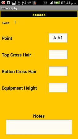
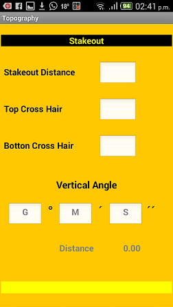
This application is developed with the intention of improving my topographic work, allowing to carry out data collection distance calculations and placement of coordinates points defined in any document, at the end of the application I am told that it is not only used for topography work itself , also serves as support for civil engineering students allowing a quick and clear understanding of everything related to the world of topography and management of its terms. In this way it becomes easier to develop in this area since the application to be able to download all the data to Autocad to work it.

This application was developed with App Inventor 2, which took me a while to learn this platform to be able to develop and organize all the necessary formulas for all calculations, it took me eight months of continuous work.
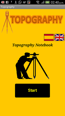
This is the main screen of the application.

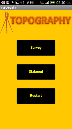
Screen with the two functions ....


I hope that the professionals who work in this area can take advantage of this application that was done with a lot of effort.
Only on Google Play
Topographytool
https://play.google.com/store/apps/details?id=appinventor.ai_jarangur68.Topography_Tool