It's a nice, snowy night here.
How are you doing? Hope everyone is having a wonderful day. Today I am back to make a quick update regarding that mysterious project I have been working on. I will provide images as evidence of my suffering, along with some metrics, just for the fun of it. Who knows? I might manage to warn more kids out there not to get involved with engineering by any means, at all costs. Just don't do it.
So here I am on day 35 of this project.
After georeferencing a map I received from the Geographic Military Service Agency, I started digitizing vectors like a maniac. I had to pick six ground control points and transform their coordinates using a tool developed by a fellow engineer. I will elaborate on this process in a future post, and I will also provide information regarding the specific kind of transformation I applied, as well as its fundamental parameters and the reasons why I chose this specific transformation formula. But you might have to pay me for all this information, dunno. Kidding.
Oh yeah, lucky you.
I will make sure to provide a download link for that software, if anyone's interested in using it. Comes in handy if you're a civil engineer.
So, let's get down to business.
As mentioned, I will make a future post in order to go into more detail about the technical construction I am currently working on. I won't explain jack about those shapefiles I am about to present to you, or the reason why I digitized those the way I did. However, I will make sure to provide a really useful screenshot in the end, for those of you who are willing to solve the riddle. Be my guest!
First, I had to import this DWG file.
And make a database for it. Nuff said.

Then I had to... ''draw'' that ''line''.
See what I did there? But why am I doing this? Take a closer look and you might know.

Now it's time for some drama!
That little thing I call a polygon took me approximately 2,500 points to digitize. FML.
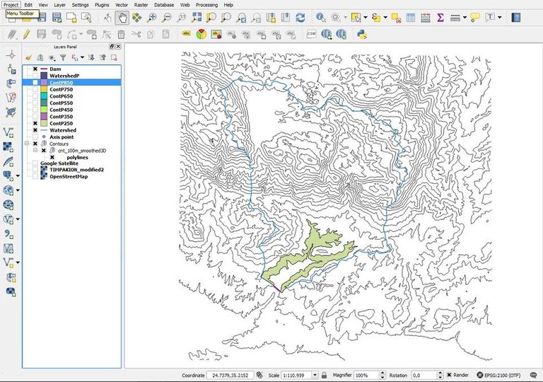
Now let's waste 4 - 5 hours and digitize 2,500+ points.
Phew, I got this.
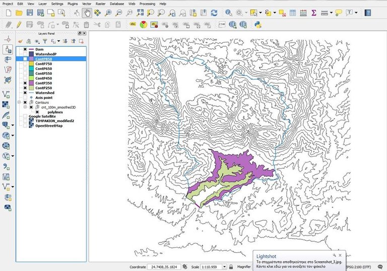
And again.
Hmm, it might be demanding but it's feasible.
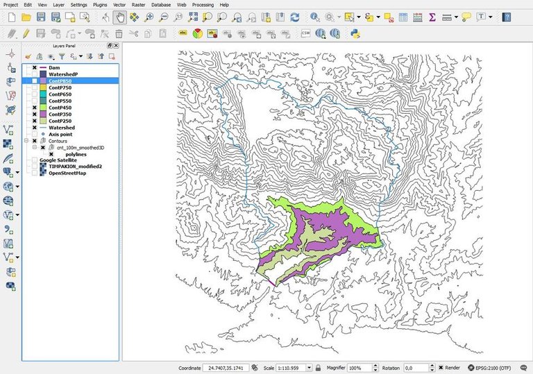
Tired yet? Another 3,000+ points for you.
Really? Oh, come on.
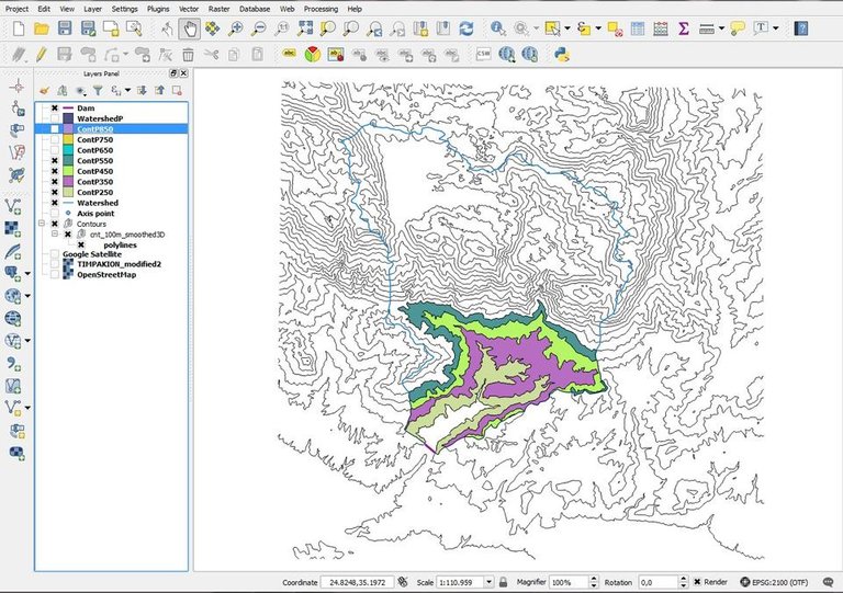
Yup, there's more. Add a few thousand more.
I see.

And again.
Yeah, I know.
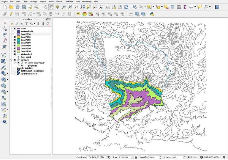
Work, dude.
It's never enough.
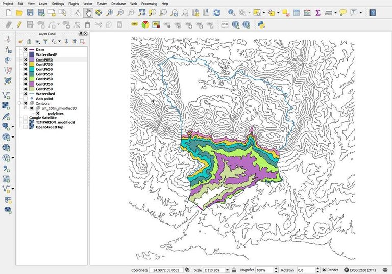
Bottomline.
I have been working on this project for weeks, and it looks like I have a really long way to go. I don't know why I chose this job, I really have no clue why I am doing this to myself. But I like it. I'm probably a mental case.
Bonus image:
For those of you who didn't believe me when I said I was killing my eyes.
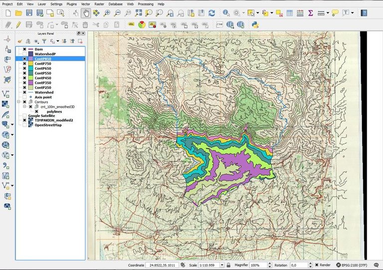
Here's a clue.
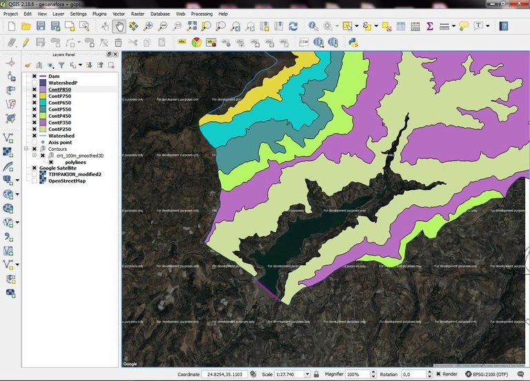
And why I am doing it. The answer lies in the image below.
Quiz.
Are you a nerd? Can you tell what I am actually trying to do and why I am digitizing all those vectors? Good, let me know in the comments below.
A promise.
I will soon make an extensive and detailed post, in which I will explain what is going on, and provide technical information regarding every step of the process.
Credits.
*All shapefiles were designed by me using Quantum GIS 2.18.6, all screenshots belong to me.
Oh wait, I almost forgot:
There's a new witness in town, the @stem.witness! We also have a new app, steemstem.io! I think the most wonderful scientific community on the Steem Blockchain deserves your vote! You can also support by delegating to @steemstem for a ROI of 65% of our curation rewards. Convenient delegation links:
50SP | 100SP | 500SP | 1000SP | 5000SP | 10000SP.


This post has been voted on by the SteemSTEM curation team and voting trail in collaboration with @utopian-io and @curie.
If you appreciate the work we are doing then consider voting all three projects for witness by selecting stem.witness, utopian-io and curie!
For additional information please join us on the SteemSTEM discord and to get to know the rest of the community!
I guess I'm not smart enough to understand nor capable of doing whatever it is you were doing.
Don't underestimate yourself.
These contouring line I guess Topography related are always tough. Although I am not ought to learn it ..THANK GOD:D.. I am at a verge of completing my Architecture Degree. But when I saw DWG name that Autocad stuff just attracted me towards your blog.
Indeed the way you compose the blog is appreciable. I must learn these Talent.
Just Followed you, Now you will find me in all of your comment section in future:)
Thanks for reading! Wish you all the best with your studies!
Thank you:)
You never cease to amaze me with your excellent job😀 !!Congratulations @lordneroo!!!
As I have told you before, I Adore Cartography!!
Topography though, is another topic that I also find quite interesting!
Excellent post!!
Thank you so much for the nice words, @alinak15! I am glad you liked my post, and grateful you took the time to read! Have a great day!
This is a topographic map, right? Your job is to draw those lines every "x" meters of height? I was a scout boy when I was younger (actually I still am, once a scout boy always a scout boy haha), and we had to use topographic maps with those line indicating height to decide which way to go while exploring
Posted using Partiko Android
Almost there! Those are altitude lines indeed, but I am not actually trying to draw those. More info on my next engineering blog!
fovero!!!! de exw na po tipota allo!!!!! :)
kalimera
Thanks, Nick! Καλησπέρα!
Steemit is the best place to vent our furstrations :)
Speaking out of experience? :D
Yeah, just look around :)
Can't argue with that man! Just teasing you! Cheers and thanks for stopping by!
Chesus Christ... Let the tranquillity be with you!
Trying my best! xD Thank you!
Congratulations! Your post has been selected as a daily Steemit truffle! It is listed on rank 19 of all contributions awarded today. You can find the TOP DAILY TRUFFLE PICKS HERE.
I upvoted your contribution because to my mind your post is at least 3 SBD worth and should receive 124 votes. It's now up to the lovely Steemit community to make this come true.
I am
TrufflePig, an Artificial Intelligence Bot that helps minnows and content curators using Machine Learning. If you are curious how I select content, you can find an explanation here!Have a nice day and sincerely yours,

TrufflePigHi @lordneroo!
Your post was upvoted by Utopian.io in cooperation with @steemstem - supporting knowledge, innovation and technological advancement on the Steem Blockchain.
Contribute to Open Source with utopian.io
Learn how to contribute on our website and join the new open source economy.
Want to chat? Join the Utopian Community on Discord https://discord.gg/h52nFrV
All I can tell is there's a matte rainbow dragon trying to swallow a lake.