Everything is discountable in your eyes. Case in point is you discounting even being able to see PLANETS with a telescope! And the video you put that there are no satellite photos when you can download the massively large raw data of the:
Copernicus
Himawari
Epic Discover
all in the public domain. You can compare them to natural events around the world and see they match up. The files are incredibly massive. No possible way to fake them.
But thanks for making his point that you will discount everything that doesn't confirm your bias. You gave two perfect examples of that for globers to be able to understand the mentality of flat earthers better.
My point is they are not photographs, and if you wanted to know how strips of data from "satellites" are interpreted into the images you seem to think are photos, you would have to make an effort. Camera lenses didn't see those pretty pictures.
Yes, they are. You DO know that the satellites we have now are higher than the Blue Marble was that you are parroting the video, right? I think you need to research where the Himawari and the Epic Discover are in their orbits.
The data you get from those is the whole earth and raw data. Just because satellites 10 years ago couldn't do whole earth raw data without processing because they did not go high enough, does not mean it is still done that way now with satellites that orbit at higher elevations.
Here's the Himawari with live shots downloaded as raw data every 10 minutes. The raw data is open source and utterly massive. You can take the data and match it up with actual events, if you were to so desire to find out the truth.
https://himawari8.nict.go.jp/
Nothing goes higher than hydrogen. Believe all the cgi fiction you want. Good day sir.
LOL. That doesn't even make any sense! As if hydrogen is somehow a marker for the top limit of anything! LMAO.
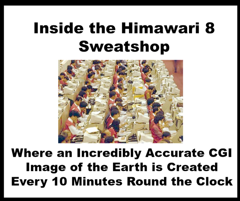
Go download the raw data yourself if you doubt it. MASSIVE files of raw data that change every 10 minutes and match weather patterns. If you think that can be faked, well, there must be an ARMY of people in a sweatshop in Taiwan doing CGI round the clock and calling everyone in half of the world to get them to describe the weather patterns in their area, and matching up cloud cover, wildfires, cyclones, etc. So ridiculous.
l l
l