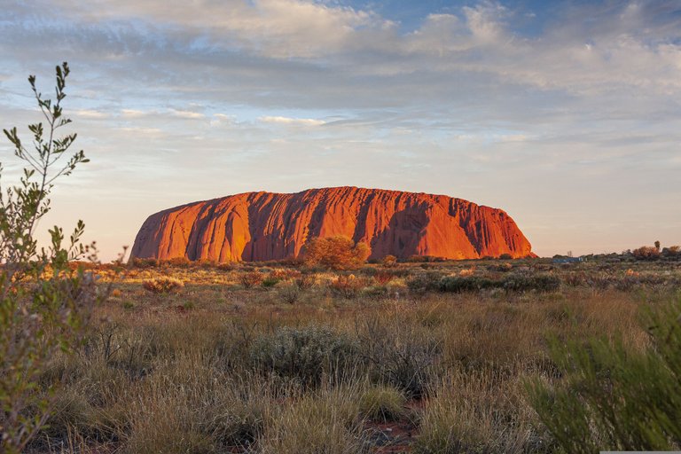
There is no doubt that Uluru ( Australian name ) or Ayers rock (European given name )is a well-known feature of our nature. Chances are that you have heard the name or if not then you have seen the pictures of it at least. It's well-known but extremely unique and in this post want to take a closer look at how a rock like this came to exist in the middle of nowhere.
Uluru rock is located in Australia, Almost in the exact center of this massive country in the middle of the desert of the Northern territory.
I can use a lot more photos in this post because for this location, a lot of royalty-free photos are available and I don't need to pay to license the pictures this time.

Pixabay
How did this rock appear?
There are a bunch of posts pinned to @pinmapple of this location but non of them looks to be explaining the geology behind the rock so here we go.
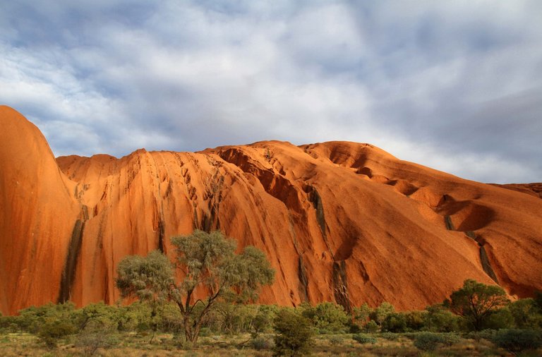
Around 530 million years ago newly formed tectonic plates in this area caused a mountain range to form. It's hard to imagine but once there were mountains like you can see in the Himalayas today. These mountains had hard granite tops and after millions of years these tops eroded and the granite deposits got carried down to the valleys. After millions of years, the whole mountain range got eroded flat and the granite deposits got buried under kilometers of deposits. About 400 million years ago the inland sea formed in Australia. Immense pressure was applied to the granite sediments and this tuned it into a rock. A very strong sandstone which is called arkose.

Pixabay
Another mountain-building period happened and Uluru Rock deep in the ground ultimately got turned 90 degrees and shoved near the surface This was followed by a very long period of erosion for many millions of years. At some point, the softer layer fully eroded and left a flat landscape again but the hard arkose sandstone remained and sits on the spot to this day.
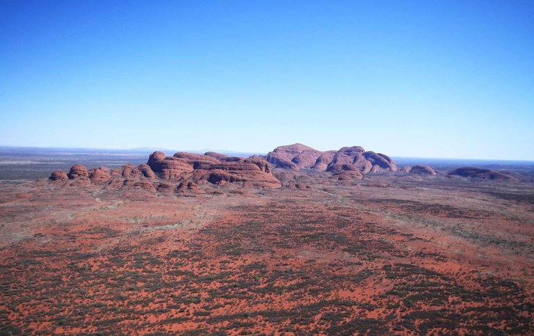
Uluru is not the only rock formation in the area. About 25 kilometers away is Kata Tjuta and this is the same kind of rock formation. The formation story is the same. Below you can see a photo of Kata Tjuta as well.

Pixabay, Kata Tjuta
These Rock formations are like large icebergs. You only see the tip but a big majority of this rock is underground and is much much larger than it appears on the ground.
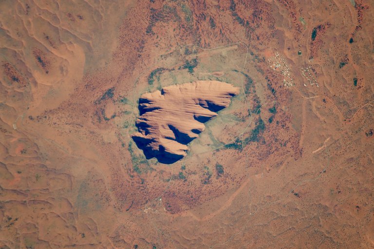
Here is a photo provided by NASA from space, looks quite out of the place. That rhymed lol 😀

NASA
Tourism
Tourism is obviously big there because people want to see this unique feature of nature in person. There are trails everywhere around the rocks you can take and it was also possible to climb on top of these but this is not the case anymore. People started to post photos of playing golf up there and other stuff like this, therefore smashing the rocks. In 2019 it was decided to make it forbidden to climb the rocks and today you can't go on top of these anymore. It's a shame but at the same time, it's necessary to preserve this unique piece of geological formation.
Have you visited Uluru rock yourself and what were your experiences? I am eager to hear your story.
Stay tuned for the next unique and special places on the planet earth

All the photos in my posts are licensed for commercial use or royalty free if possible. Your upvotes help me cover the costs of making these posts happen!

Congratulations, your post has been added to Pinmapple! 🎉🥳🍍
Did you know you have your own profile map?
And every post has their own map too!
Want to have your post on the map too?
Congratulations @snowblind5! You have completed the following achievement on the Hive blockchain And have been rewarded with New badge(s)
Your next target is to reach 250 posts.
You can view your badges on your board and compare yourself to others in the Ranking
If you no longer want to receive notifications, reply to this comment with the word
STOPTo support your work, I also upvoted your post!
Check out our last posts:
Support the HiveBuzz project. Vote for our proposal!