Let's go to mountain
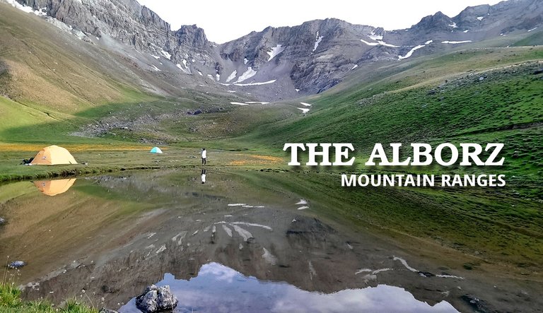
Passionate about the mountains, particularly the Alborz range, my homeland, I plan to take you among them using Pinmapple from now on, along with my memories and excursions.بزن بریم کوه
از شیفتگیم به کوه ها، به ویژه رشـته کـوه البـرز، زادگاهم، بر آن شدم از این پس با پین میپل، شما را همراه خاطرات و گشت و گذارهایم، به میان آنها ببرم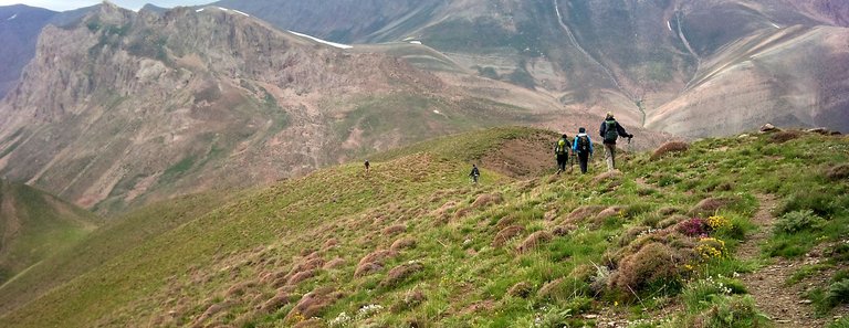
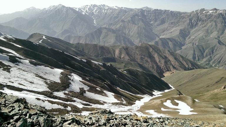 Kholeno(4350m) view from Mehrchal summit (4000m) - Central Alborz
The Alborz mountain
The Alborz mountain range refers to the earth's folds along the northern side of the Iranian plateau, stretching approximately 800 km from Azerbaijan in the west, alongside with southern coast of the Caspian sea to Turkmenistan and Afghanistan in the east.رشـته کـوه البــرز
رشته کوه های البرز به نوار چین خوردگیهای زمین در ضلع شمالی فلات ایران اطلاق میشود که در غرب از آذربایجان آغاز شده و به طول حدودا 800 کیلومتر در امتداد سواحل جنوبی دریای کاسپین تا ترکمنستان و افغانستان در شرق خود کشیده شده است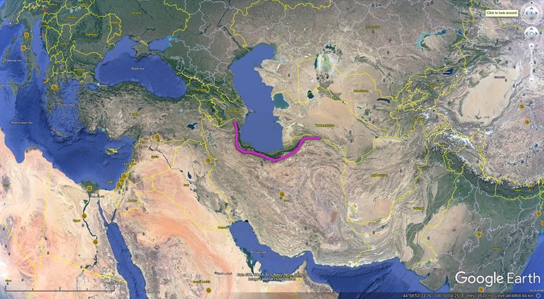
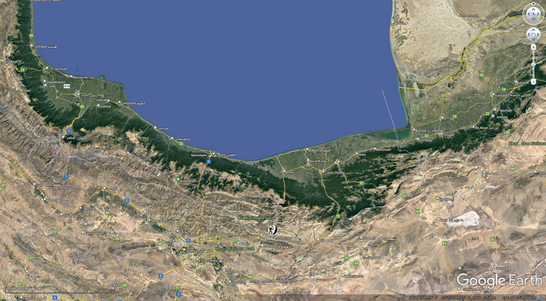
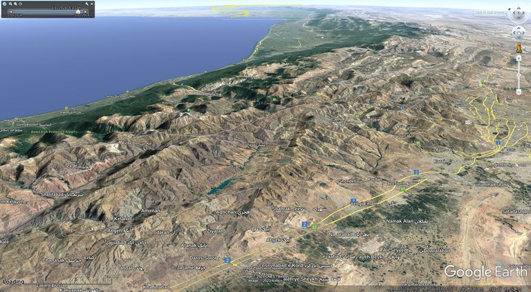 Looking west - Central Alborz
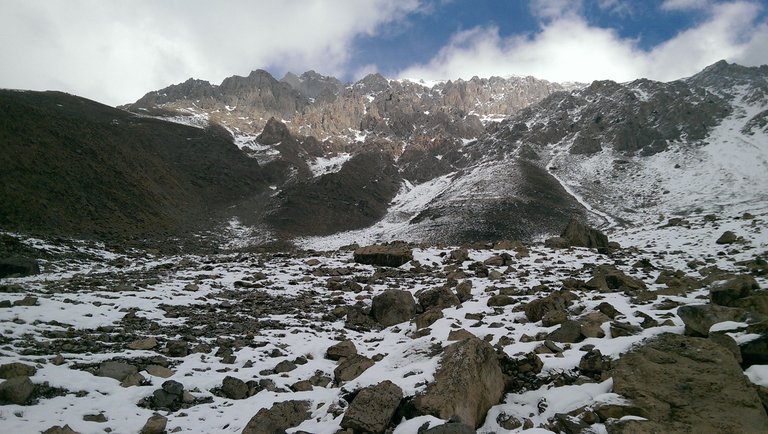 JohnStone heights - Abnik
Spanning around 100 km at its broadest points, this elevated and curved strip is characterized by long, parallel walls, with peaks surpassing 4000 meters (ASL).
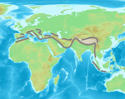
It constitutes a segment of the extensive Alpide belt, which also includes the Himalayas.
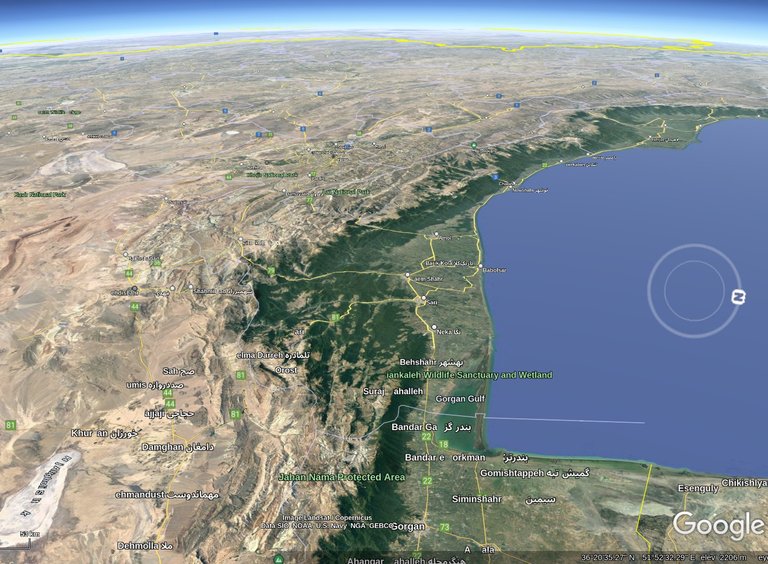 Alborz walls between Iranian plateau and southern coasts of Caspian sea
پهنای این نوار مرتفع و کمان شکل در عریض ترین قسمت ها حدودا 100 کیلومتر است و غالبا از دیواره های بلند و موازی نزدیک به هم تشکیل شده که ارتفاع قله های آنها از 4000 متر هم عبور میکند
اینها در واقع قسمتی از کمربند طولانی به نام آلپاید هستند که هیمالیا هم روی آن قرار دارد
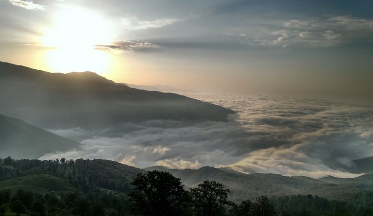 Above the tree line - Mazichal
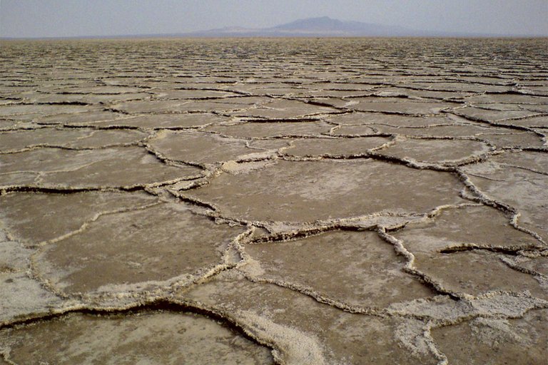 Salt lake near Kashan
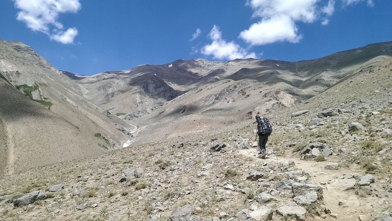 Toward Borj summit - Central Alborz
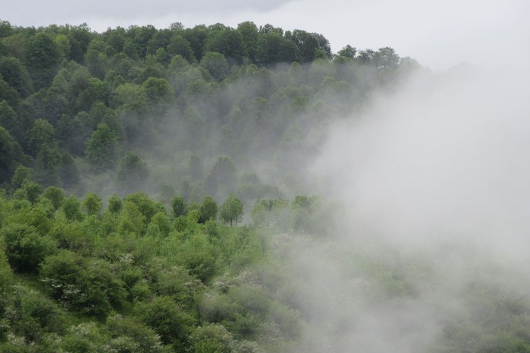
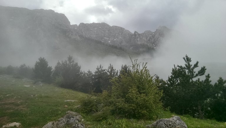 Toward Nero ridges - Northern Aborz
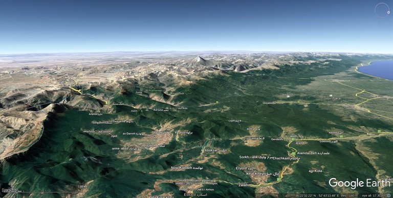
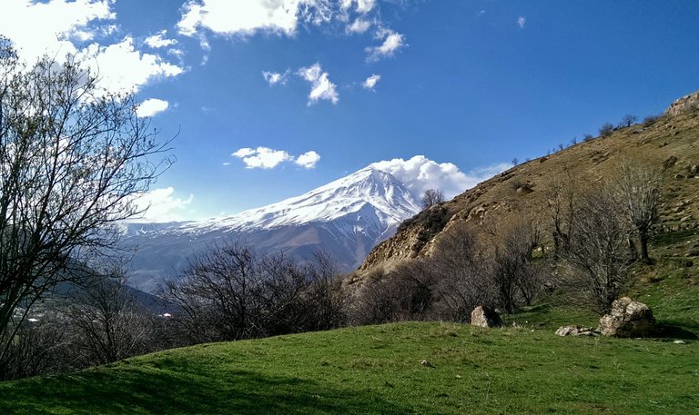
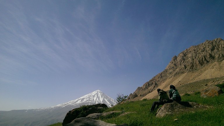
Damavand
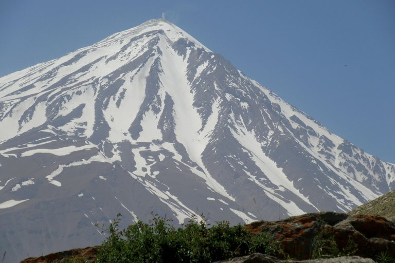
Mount Damavand, a volcanic peak with its most recent eruption approximately 7000 years ago, remains semi-active, emitting gases from its summit.The lava flow on its southwestern slopes have formed a natural barrier along crucial central watersheds of Alborz, resulting in the creation of a vast and stunning lake. Over time, this lake has almost diminished, leaving behind the picturesque Lar plain. The drying up of the Central Lake of the Iranian Plateau and its transformation into the current "Salt lake" has largely been influenced by this phenomenon.
دماوند
کوه آتشفشانی دماوند که آخرین فوران آن حدود 7000 سال پیش بوده، هنوز نیمه فعال است و گازهایی از نوک آن متصاعد میشود، جریان گدازه های دامنه غربی آن سد طبیعیی شده بر حوضه آبریز های مهم و مرکزی البرز و دریاچه عظیم و زیبایی را بوجود آورده که بعد ها کوچکتر شده و دشت زیبای لار را بجا گذاشته است. خشک شدن دریاچه مرکزی فلات ایران و تبدیل آن به دریاچه نمک کنونی هم تا حد زیادی کار دماوند بوده است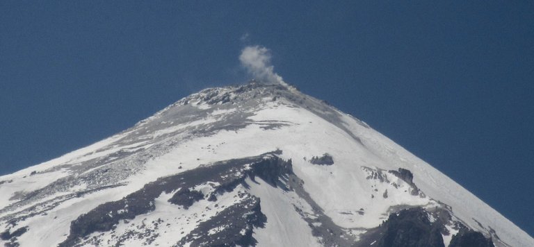
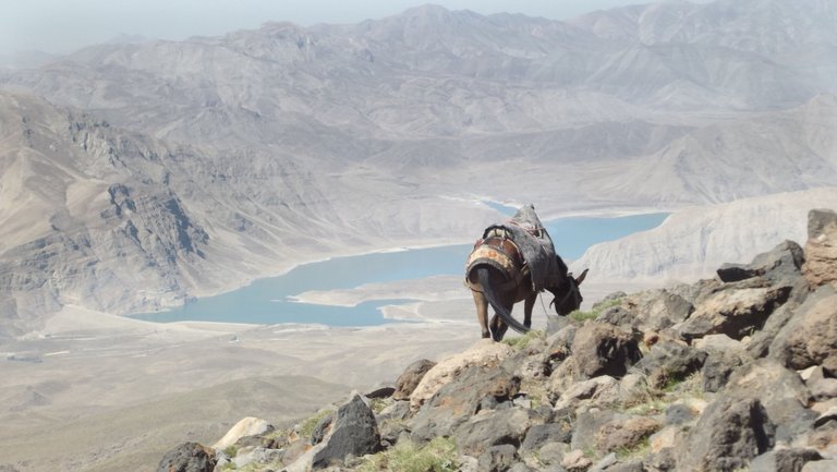 southern part of Lar lake - view from Damavand base camp (4250m)
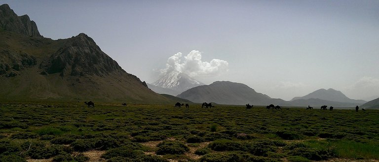 Herd of camels in Lar plain
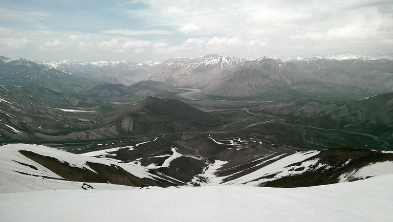 Lar plain from Filzamin peak (3900m)
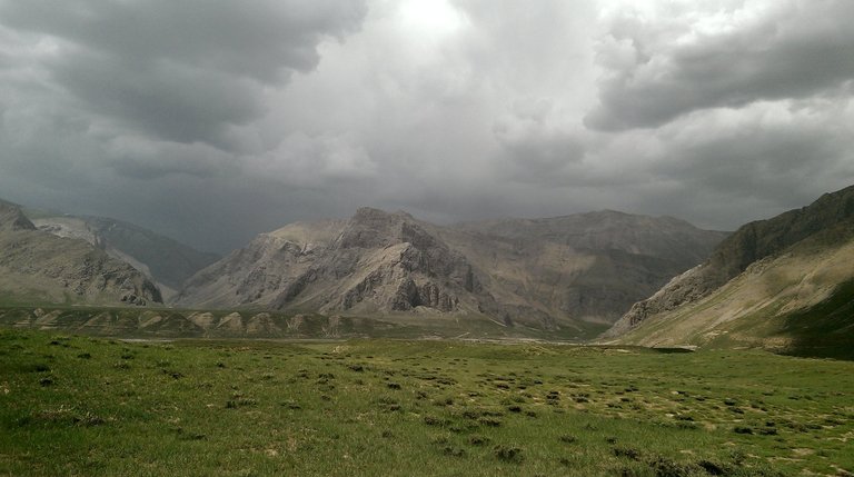 Kamardasht - Lar plain
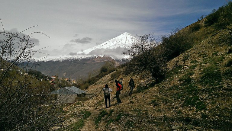
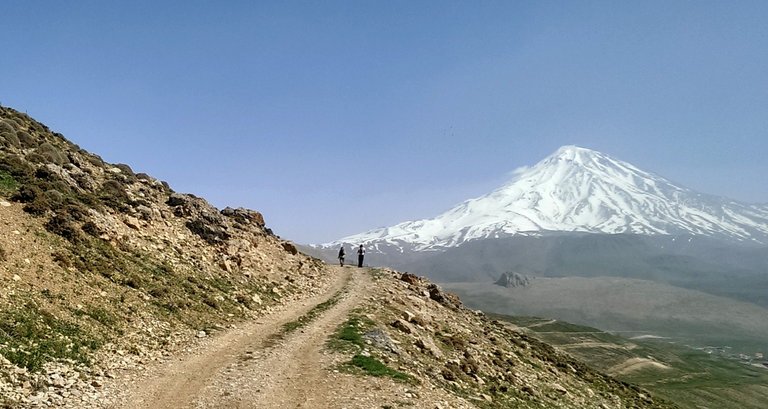
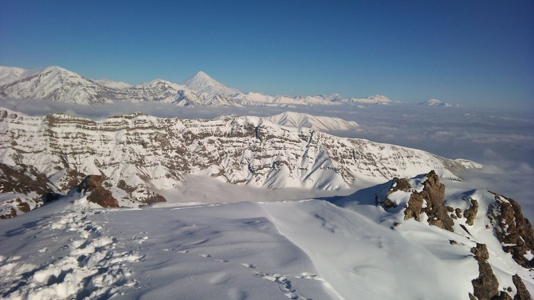 Damavand from top of the Kolakchal summit (3200m)
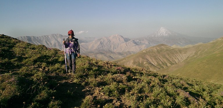 Parsoon peak - @sabajfa - 2018
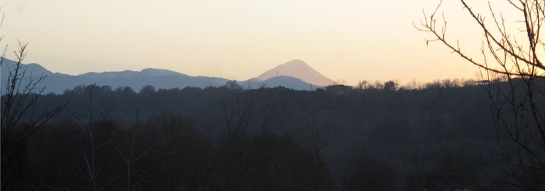
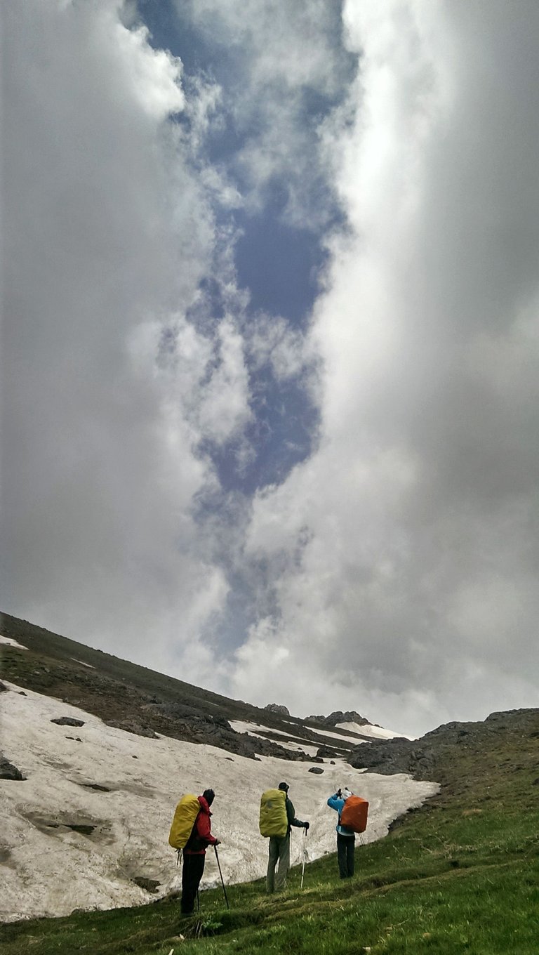
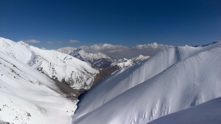
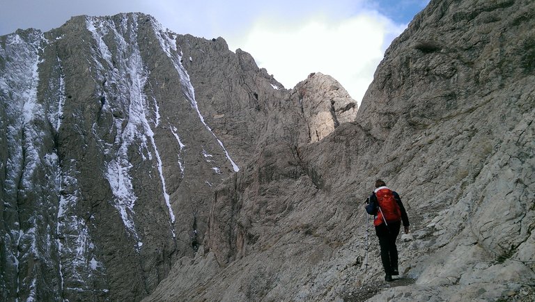
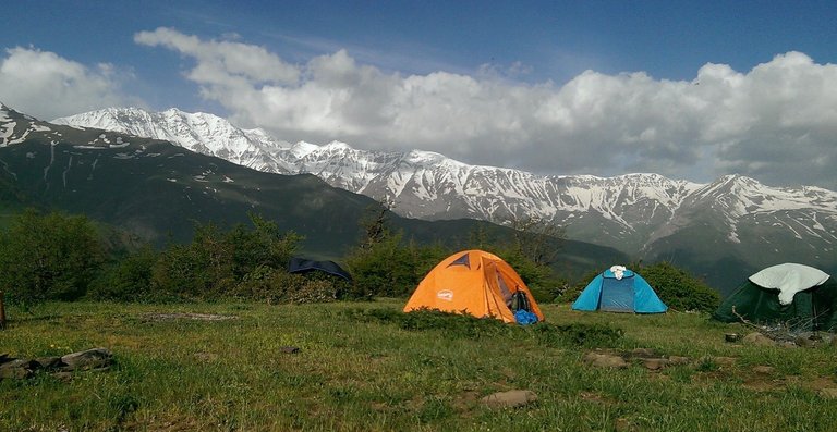
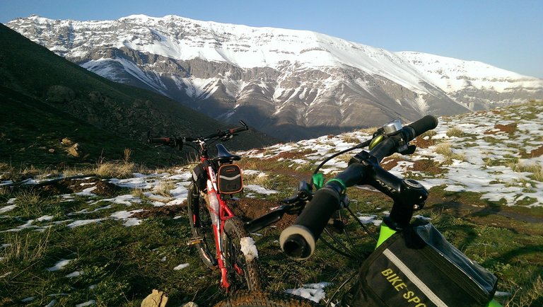 Mountain biking - Southern Alborz
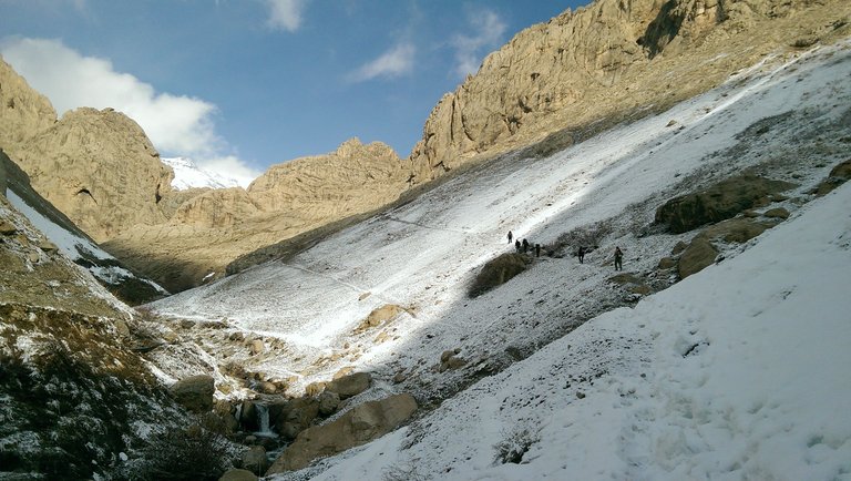 JohnStone valley - Abnik - Central alborz
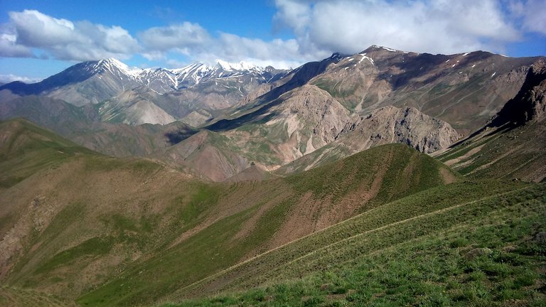 Above 4000s - ( left to right ) Sarakchal , Kholeno , JohnStone , Kharsang peaks from Garmabdar pass
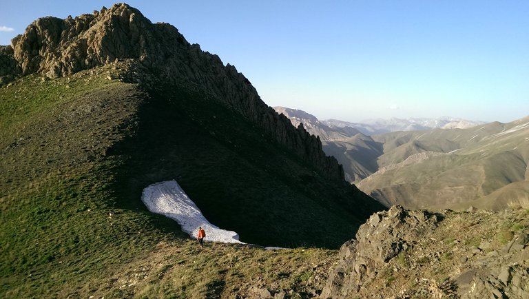 PirzanKlum ridge (3500m)- Garmabdar - Central Alborz
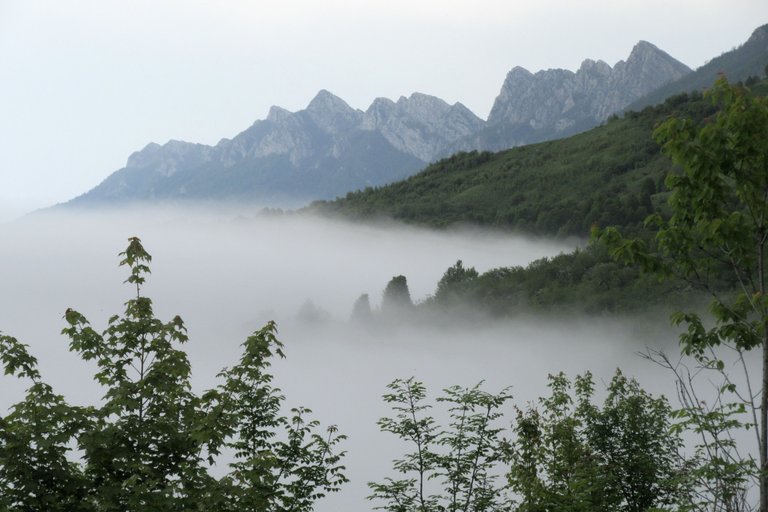 Nero ridges - SangeDeh - Savad kooh
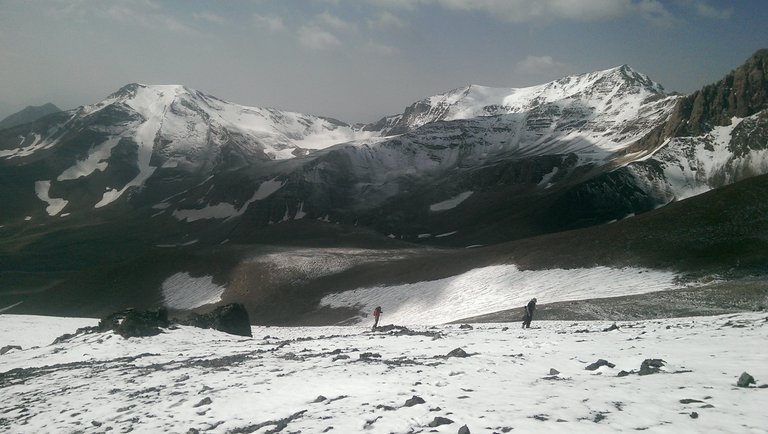 Toward AlamKooh (4850m) - Hesarchal near Marjikesh peak (4450m) - Kelardasht
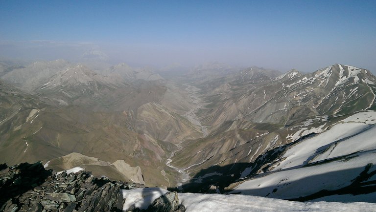 Lar from Mehrchal Peak (4000m) - Central alborz (Damavand hardly recognizable on the hazy left horizon)
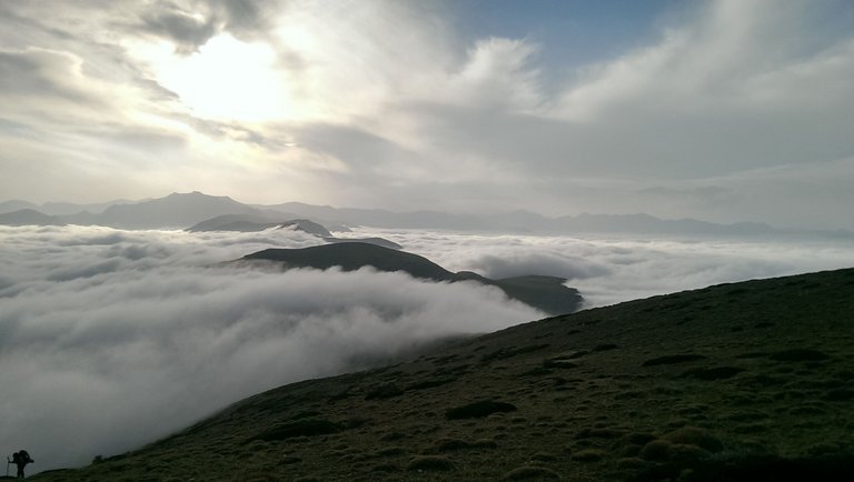 Arfa kooh above clouds - southern Savadkooh
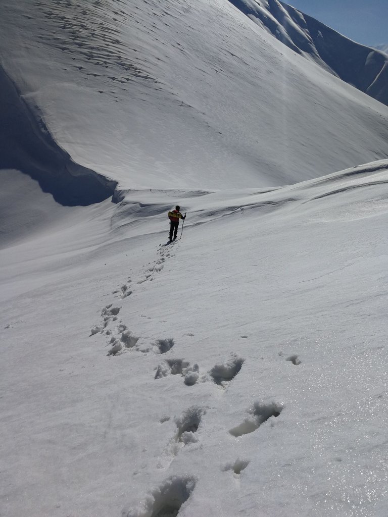 Ghale dokhtar pass - southern Alborz
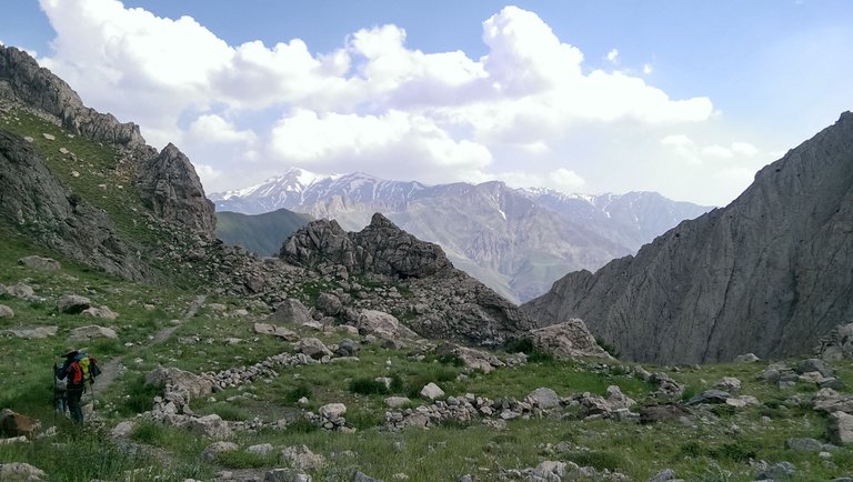 Mehrchal view from Jansetan Pass in summer
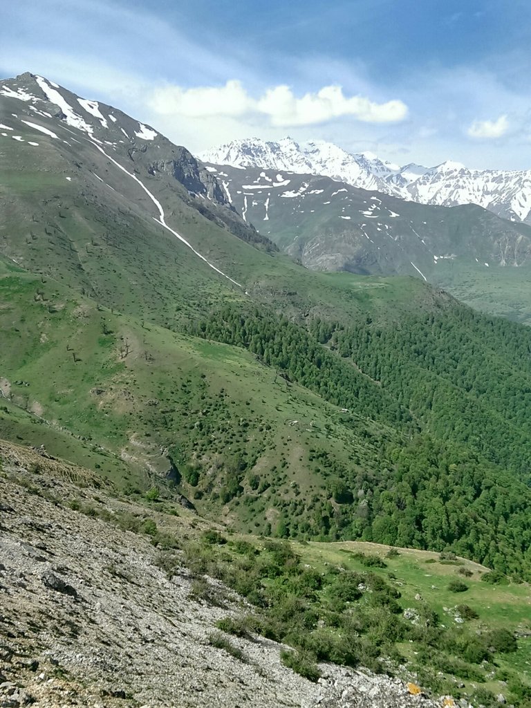 Kalahoo summit(4410m) Mazichal
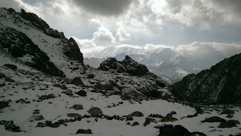 Mehrchal view from Jansetan Pass in winter
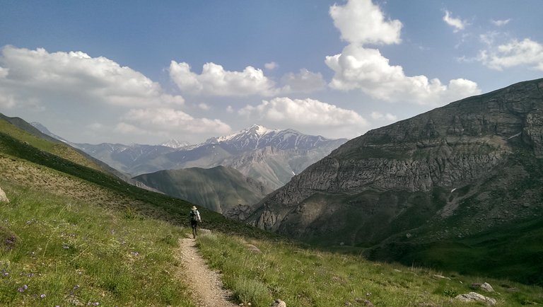 Mehrchal from Abnik - Central Alborz
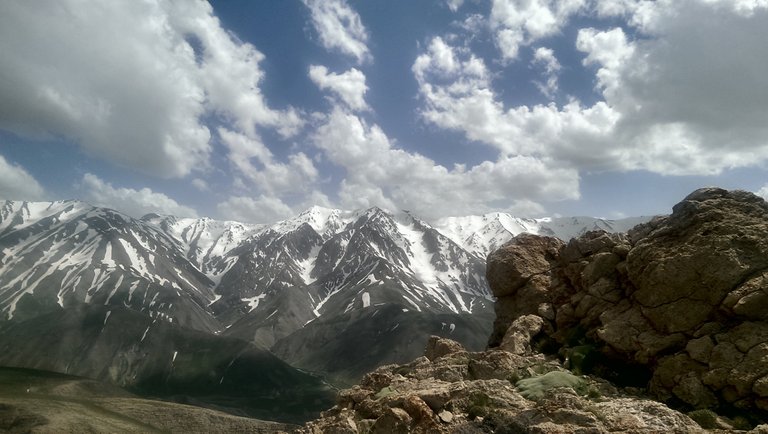 Dobarar ridges (4200m) from Pashooreh peak
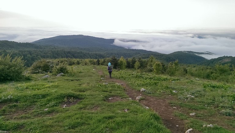 Nero to Sangedeh - Savadkooh
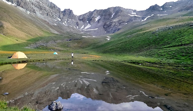 Kamankooh seasonal lake (3300m) - Central Alborz
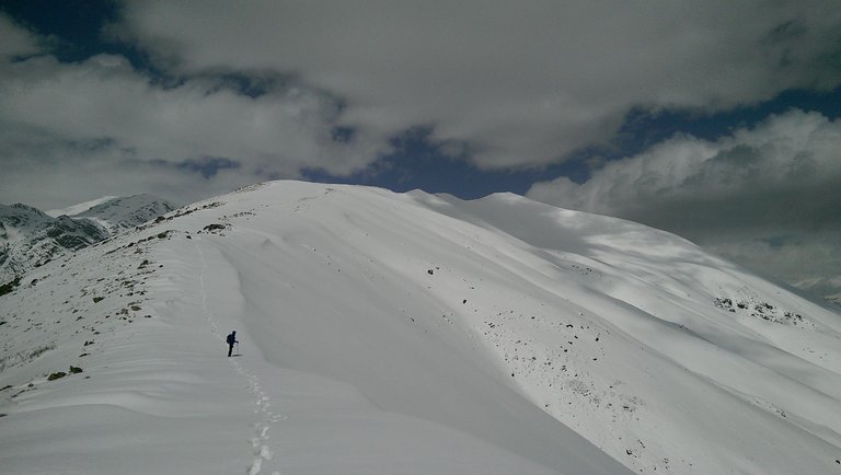 Toward Darabad summit (3100m) - North of Tehran
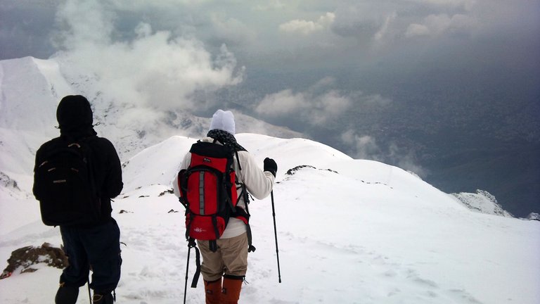 Descending Tochal peak (3960m) near Sangsiah shelter (3870m) - North of Tehran
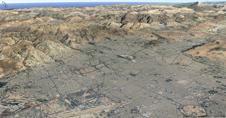 Tehran - looking North West
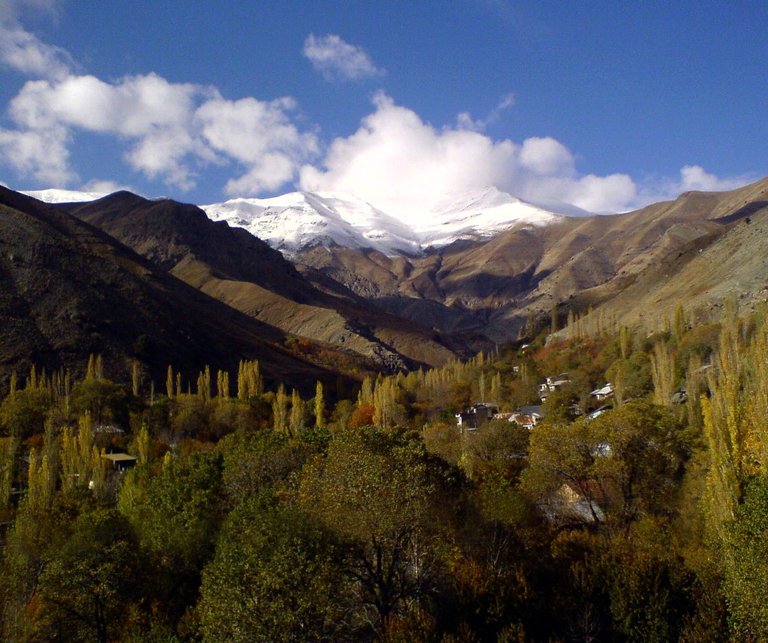 Tochal peak from Igol village (north side of Tochal)
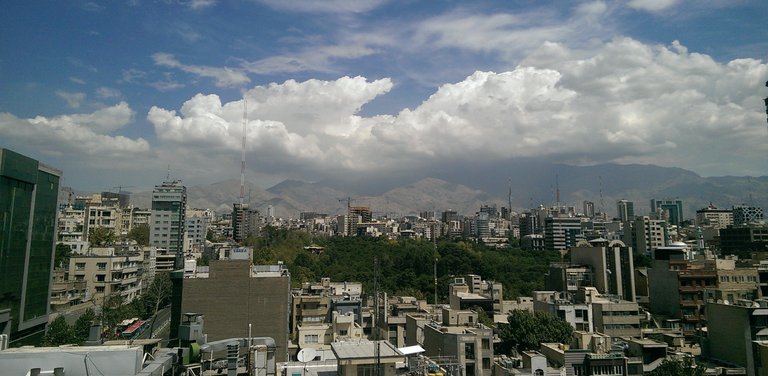 Tehran in a rare clear day from roof of a building I used to work
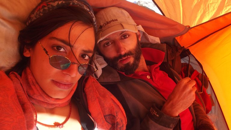
در ابتدا با پدرم، بعدها اغلب تنها و بعضا با گروه ها و سرانجام با رفقای کوهم و بهترینشان صبا، بیشتر اوقات فراغتم روی دامنه ها و یالهای البرز سپری شده است

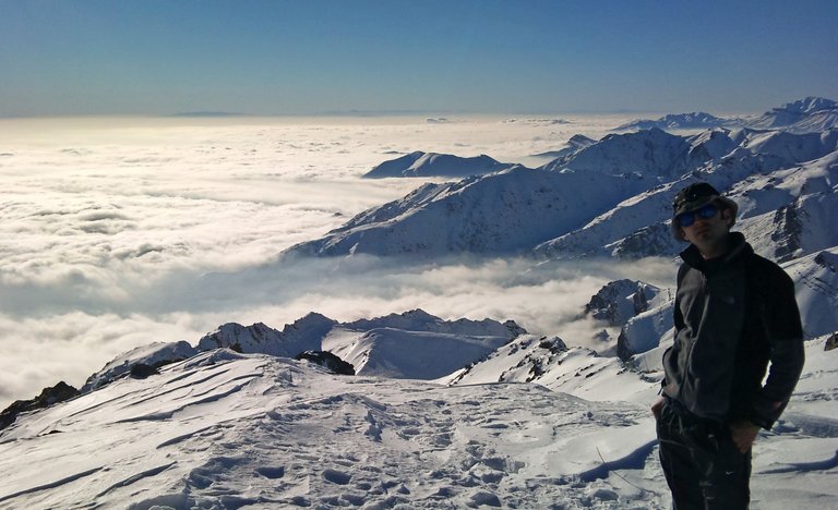 My fav peak Kolakchal 150min hike from Tajrish sqr -Tehran
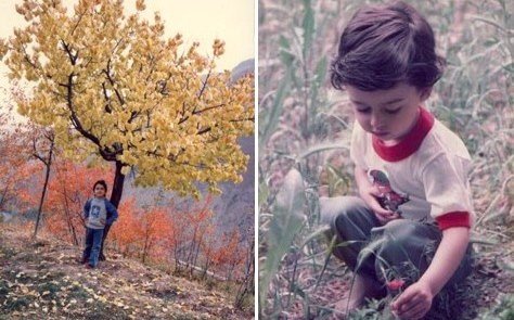 childhood on mountains
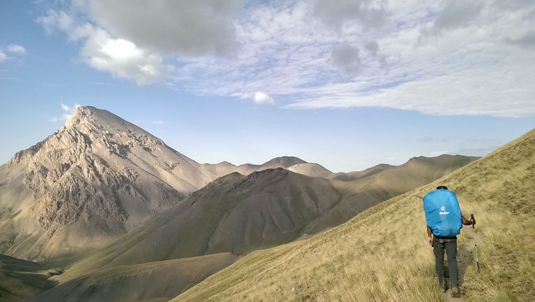 Azadkooh (4400m) - view from Soote plain (3500m)
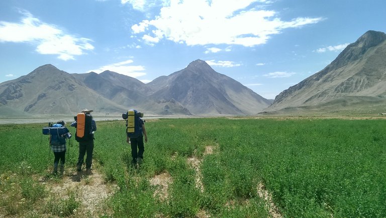 Lar plain - 110km Hiking from Tehran to Caspian sea
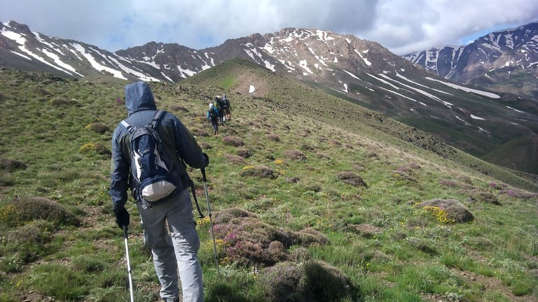 Toward Kasoonak summit - KhatoonBargah Pass - Central Alborz
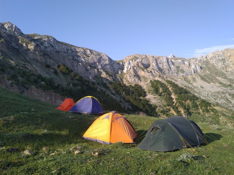 Camping near YakhchalPosht summit - Damilarz - Northern Alborz
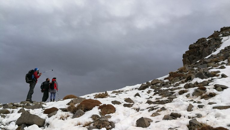 Toward PahneHesar peak - Sangaan
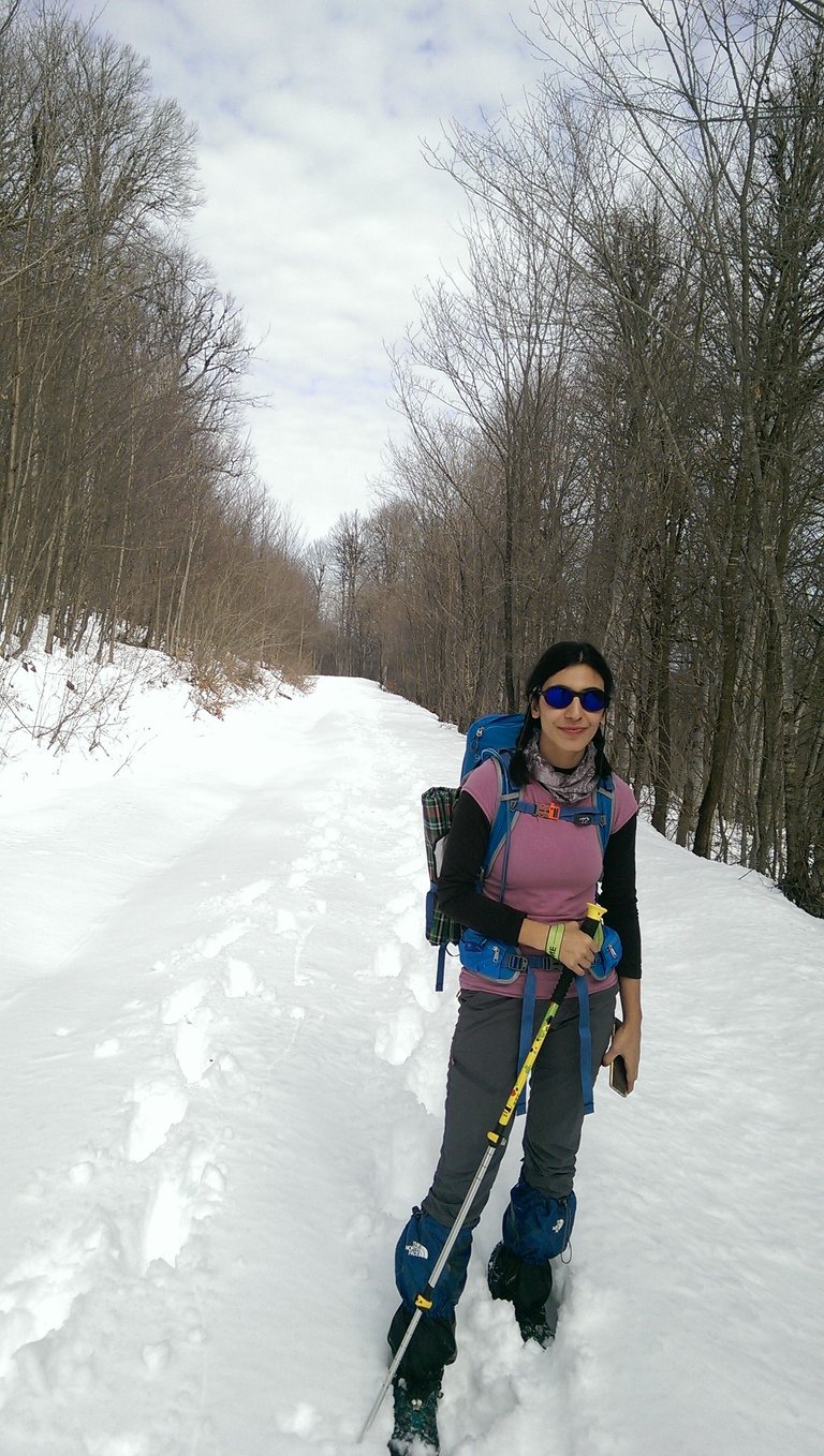
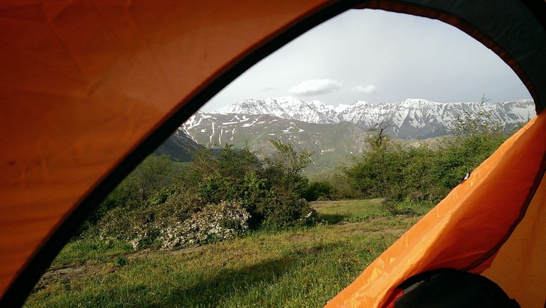 Mazichal - Northern Alborz
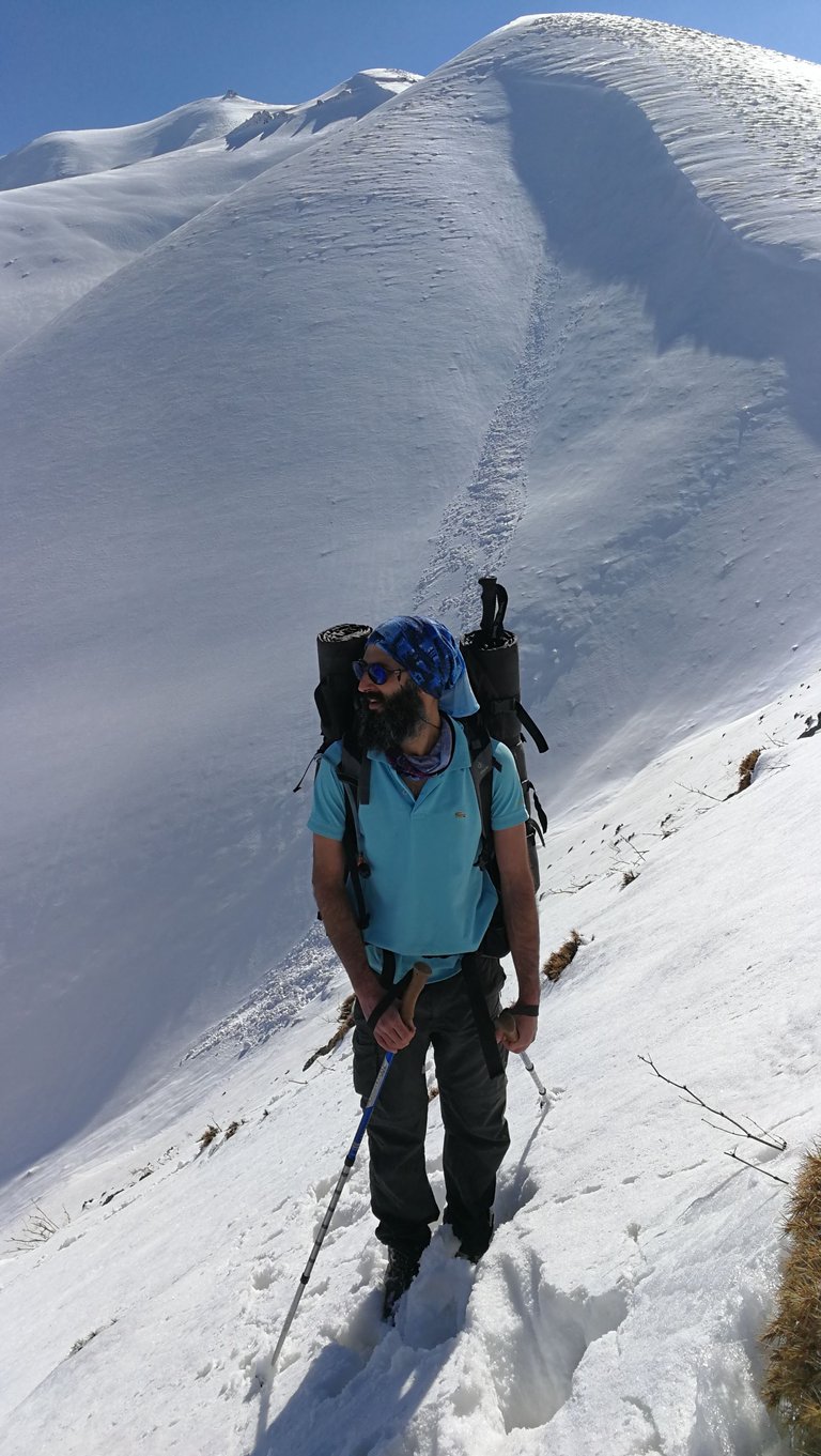
Ourselves
Oh.. well, we were talking about Alborz... Of course, we are also part of it. Most of us have forgotten where we came from.
Practicing a little independent life from dependence and obsession with fragile welfare and systemic facilities, even for a few hours away from being enslaved by induced worries and habits, as a result ensuring a healthy and qualified body and mind as an independent specie capable of living in the embrace of mother earth...
Rejoining The Miracle of existence
The necessary experience of real freedom
Cannot be obtained in any other way.
خودمان
خب ، داشتیم از البرز میگفتیم... البته ما هم خود جزئی از آن هستیم. غالب ما فراموش کرده ایم از کجا آمده ایم
تمرین زندگی ِ کمی مستقل از وابستگی و وسواس به رفاه و امکانات شکننده سیستمی، حتی برای ساعاتی... دوری از بردگیِ دغدغه ها و عادات القا شده و نتیجتا اطمینان از بدن و ذهن سالم و توانا
بعنوان یک گونه مستقل قادر به زندگی در آغوش مادرمان زمین
پیوستن دوباره به معجزه هستی
تجربه ضروری آزادی حقیقی
جور دیگری بدست نمی آید
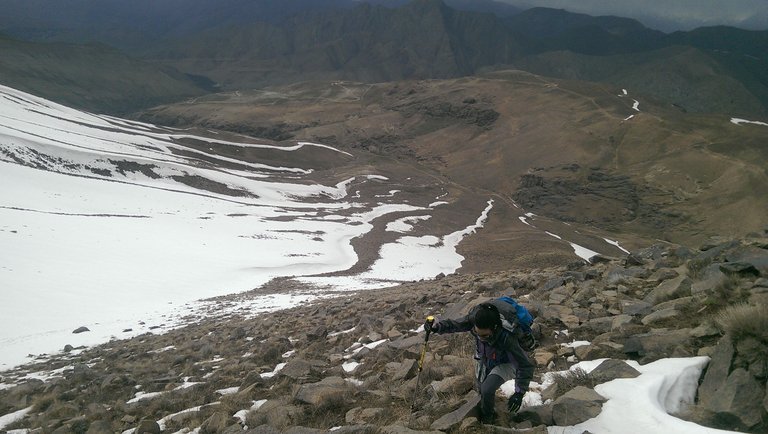
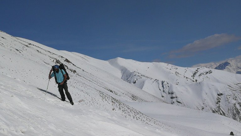
...
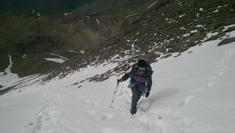
in the cloudiest and the most foggiest moments,
در ابری ترین و مه آلود ترین لحظات
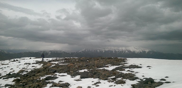
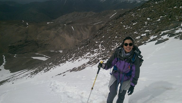
کوه و صخره ، دشت و سبزه، فکر، هوا، عشق، آسمان، زمین مال ماست
In fact, in terms of nature, people and expenses, Iran is in many ways one of the best suitable hosts for mountaineers and backpackers around the world and it deserves a more detailed and realistic introduction.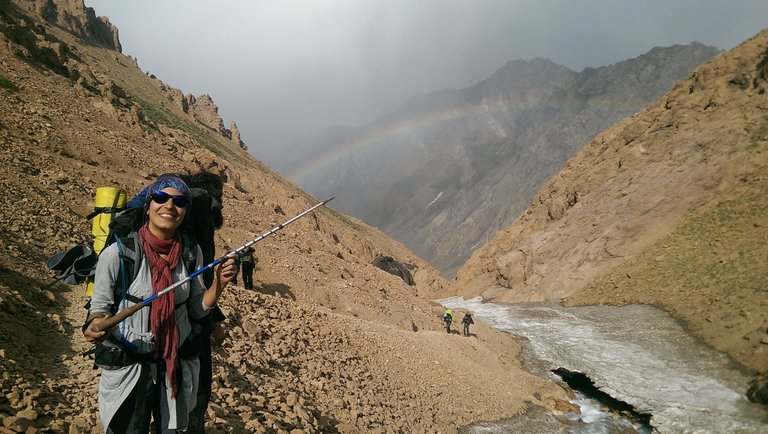 Tange Galu glacier - Hesarchal (3400m)
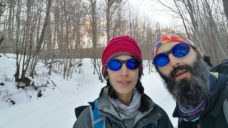
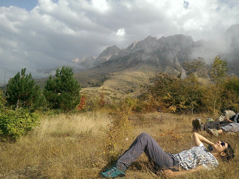
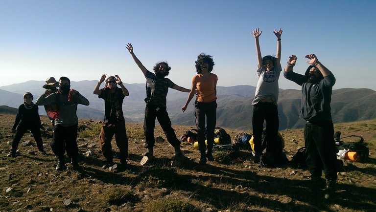 The 60th km to the Caspian sea - ghorogh pass (3000m)
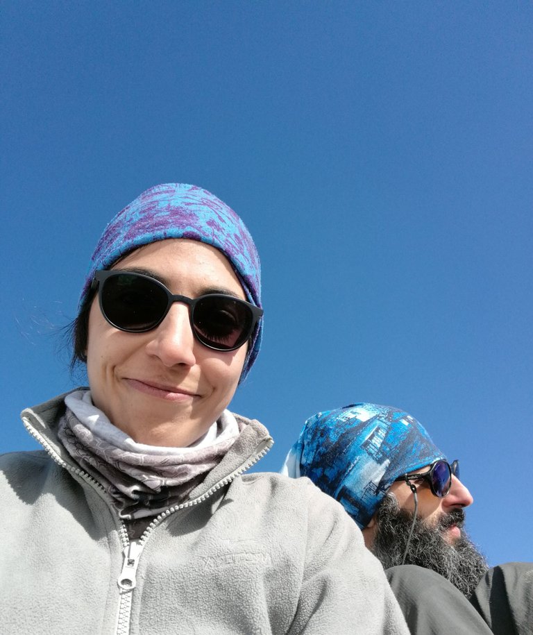
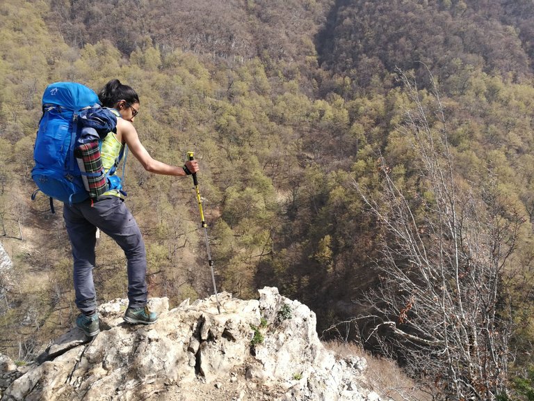
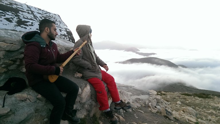 With the dearest friends on the peak of Arfa kooh (3000m)
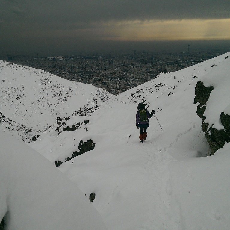 Decending from Vezbad - Golab darreh - Tehran
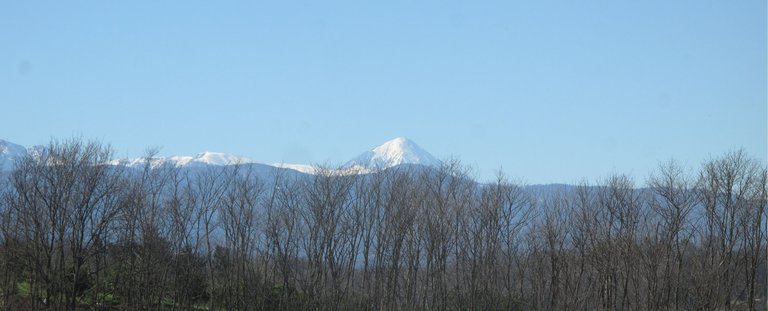 One of those exceptionally clear days - Damavand peak from KeriKola - Babolkenar - Mazandaran - Iran
خب این بود مقدمه ایی بر سیر و سلوک در البرز که در پست های بعدی با سفر به نقاط مختلف آن به تفصیل تقدیم شما خواهد شد
در واقع، ایران از لحاظ طبیعت، مردم و هزینه ها از بسیاری جهات یکی از بهترین میزبان های مناسب برای کوهنوردان و کوله گردها در سراسر جهان است و ارزش معرفی دقیق تر و واقع بینانه تری دارد

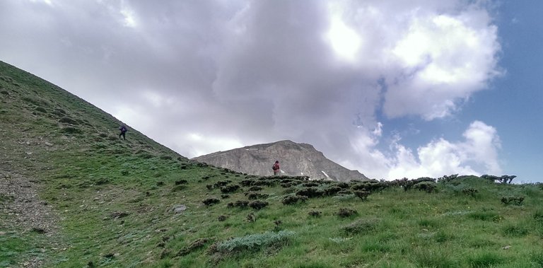 Azoo pass - Nava - Polur

Thank you for your time and I am happy to have you here with me so far.
سپاس از وقتی که گذاشتید
و خوشحالم که تا اینجا همراهم بودید
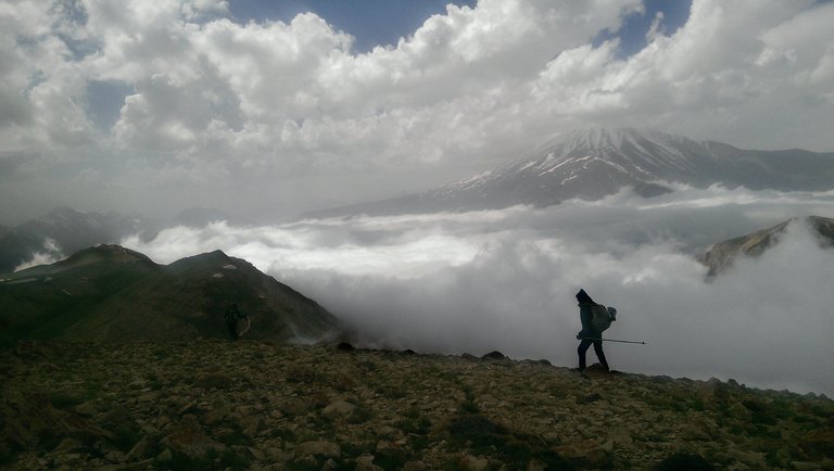

- This was my first on Pinmapple Community. So far I've read a lot of good content here and I'm happy to be present and contribute among them, hopefully to learn more from members and moderators
- The photos are mostly taken by me, @sabajfa and maybe some of our friends, with HTC one max, Huawei Mate 9 and Canon G10.
- I had a deep dive here finding about guidelines of copyright fair use for using Google Earth images
- I also put my native language alongside English for the first time on Hive and I'm excited about that. Therefore, in some parts, I took some help from translators such as Google Translate and Chat GPT .
- At the time of posting this article, the InLeo front-end has not yet implemented the Mark-Down update for displaying text in two columns. So, for better layout view of this post, use other front-ends (UI) such as PeakD ...
- I will edit this article to add lists and links to future posts in this Alborz series

Posted Using InLeo Alpha
