This is the steepest and most difficult trail I have ever done, but the views at the top were worth it. In the mid-autumn of last year 2023, I set out with friends to hike the trail that starts from Igûeste de San Andrés, a small and charming village in the north of Tenerife, to Playa Antequera. This isolated and exotic beach can only be reached by walking or sea transport.
Este es el sendero más empinado y difícil que he realizado, pero las vistas al llegar a la cima realmente valieron la pena. A mediados de otoño del pasado año 2023, me dispuse a ir con un grupo de amigos a realizar el sendero que parte desde Igûeste de San Andrés, un pequeño y encantador pueblo al norte de Tenerife, hasta la Playa Antequera, una aislada y exótica playa a la cual sólo se llega caminando o mediante transporte marítimo.
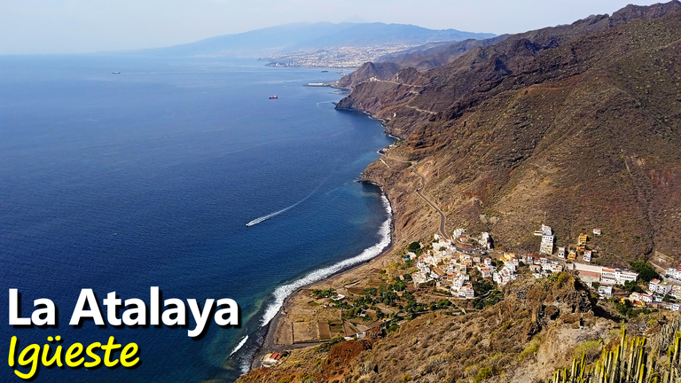
To get to Antequera Beach, there are mainly two hiking trails or routes. One part is from the coastal area of the town and the other part is from further inland in the valley where the town is located. The path would start in the coastal area, and the return would be through the other path. Basically, it is a circular route, which not only passes by Antequera Beach but also by the Mirador de La Atalaya and the Semáforo de San Andrés, a building in ruins that formerly gave maritime signals to marine vessels. However, it would not be like that, since we would only reach La Atalaya and we would return by the same way: the steep coastal path.
Para llegar a la Playa de Antequera, existen principalmente dos caminos o rutas de senderismo. Una parte desde la zona costera del pueblo y la otra parte desde más tierra adentro en el valle donde se encuentra el pueblo. El camino iniciaría en la zona costera, y de regreso sería a través del otro camino. Básicamente, es una ruta circular, que no solamente pasa por la Playa de Antequera sino por el Mirador de La Atalaya y el Semáforo de San Andrés, una edificación en ruinas que antiguamente daba señales marítimas a las embarcaciones marinas. Sin embargo, no sería así, ya que solamente llegaríamos hasta La Atalaya y nos regresaríamos por el mismo camino: el empinado sendero costero.
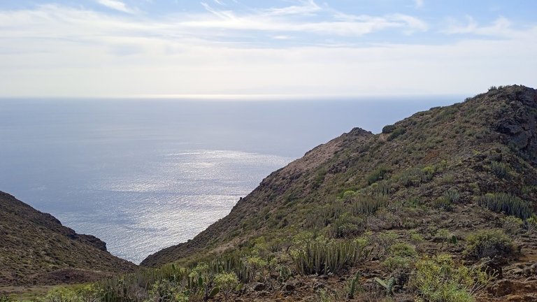
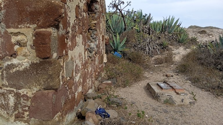
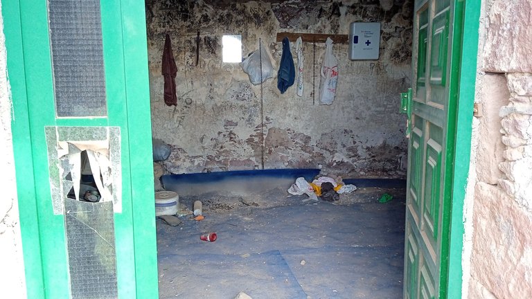
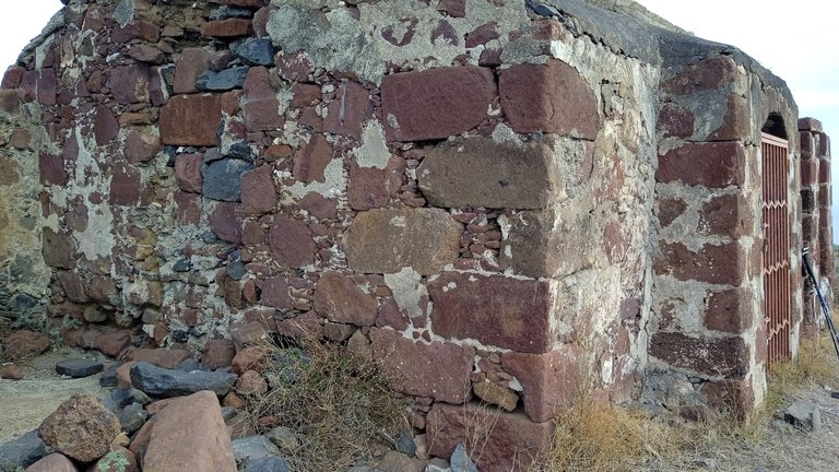
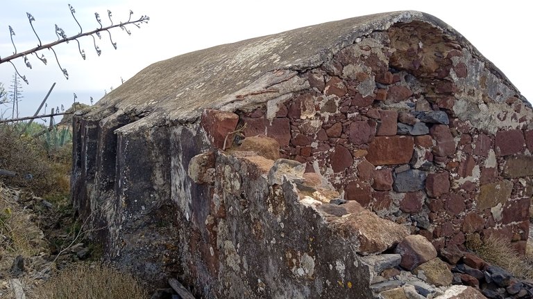
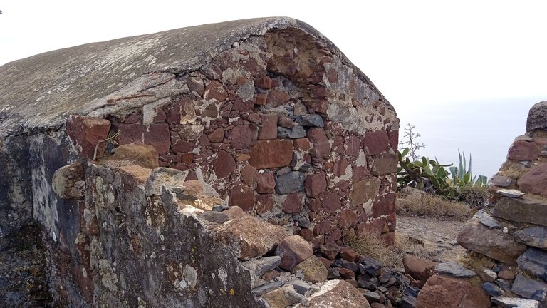
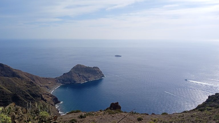
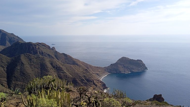
La Atalaya is a small monument located at the top of the mountain, from where you have an impressive view of the landscape, with Antequera Beach in the background, the mountains of the Anaga Rural Park, and the city of Santa Cruz on the horizon. A few meters from the monument, there is an old house that served as a shelter for the "Atalayeros". The building is in ruins and abandoned, surely being visited from time to time by some curious tourists. I have heard that there are many ticks inside, so I did not dare to enter.
La Atalaya es un pequeño monumento ubicado en la cima de la montaña, en el cual se tienen vistas inpresionantes del paisaje, con la Playa de Antequera de fondo, las montañas del Parque Rural de Anaga, y la ciudad de Santa Cruz en el horizonte. A pocos metros del monumento, se encuentra una casa antigua que servía de refugio a los "Atalayeros". La edificación se encuentra en ruinas y abandonada, seguramente siendo visitada de vez en cuando por alguno que otro turista curioso. He escuchado que adentro hay muchas garrapatas, y por ello no me atreví a entrar.
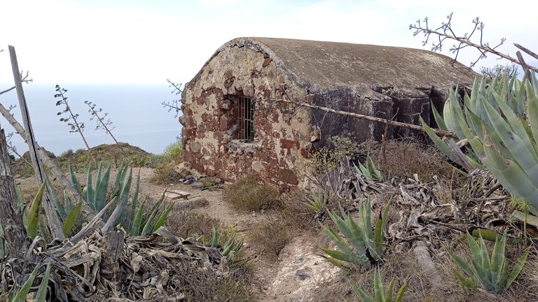
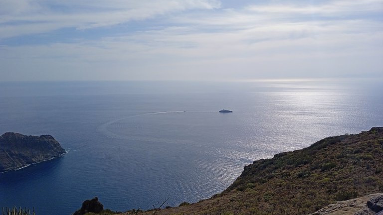
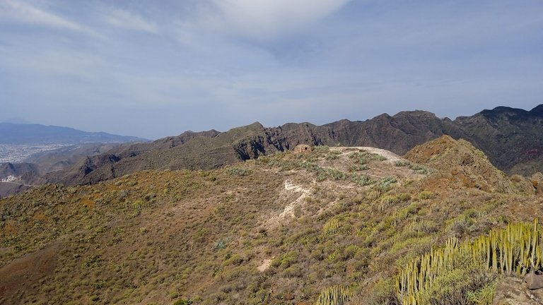
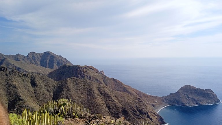
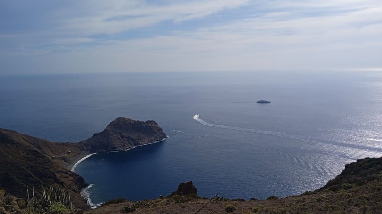
Do you know what is there in great numbers up there at the top? Lizards. Lots of lizards show up when any human comes along who can bring some food. They don't seem to be very afraid of humans. They all approach anyone who sits there for a snack. I don't have pictures of the La Atalaya monument, but it is a concrete cylinder. From there, the views of Antequera Beach are breathtaking. You can see the color of the sand and water. The rest of the way to get there was not difficult, as it was just downhill, but on the way back it was going to be tiring with the climb, so we decided to turn back.
¿Saben qué hay en gran cantidad allí en la cima? Lagartijas. Muchas lagartijas aparecen cuando llega algún humano que pueda traer algo de comida. No parecen tener mucho miedo de los humanos. Se acercan todas a todo aquel que se siente allí a comerse un bocadillo. No tengo fotografías del monumento de La Atalaya, pero es básicamente un cilindro de concreto. Desde allí, las vistas a la Playa de Antequera son impresionantes. Se logra ver claramente el color de la arena y el agua. El resto del camino para llegar allí no era realmente difícil, ya que quedaba sólo bajar, pero de regreso iba a ser desgastante con la subida, por lo que decidimos regresar.
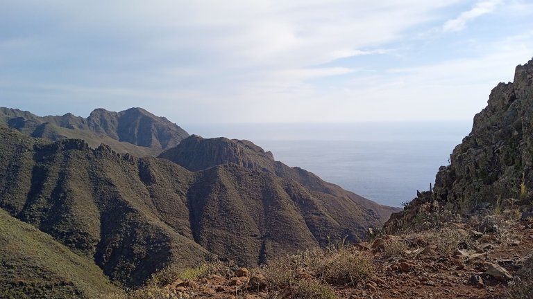
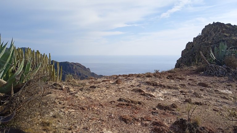
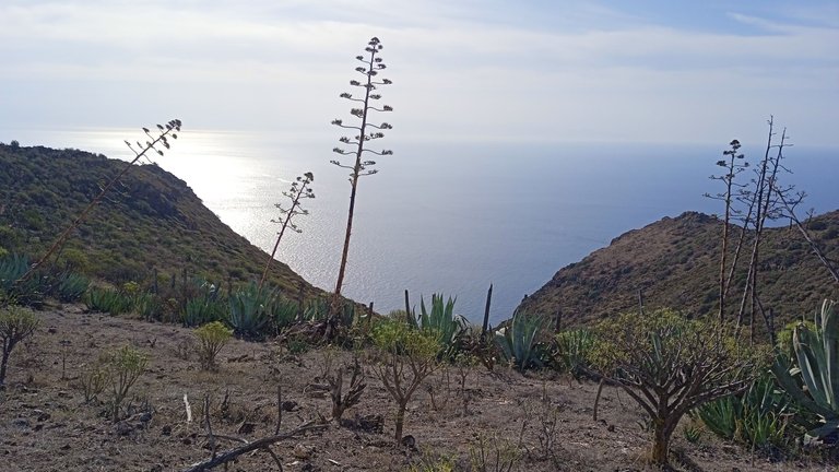
The climb up there is hard for anyone who does not have a minimally decent physical condition. It is a trail that goes from 30 meters above sea level to 400 meters above sea level in 1500 meters horizontally. That is an average slope of approximately 25%. The trail winds its way up the mountain and that makes its slope at some points less or more than 25%. It could be classified as a medium-difficulty trail, although depending on the physical condition of the hiker, it may be easy or difficult for others. But the effort has its reward after being able to appreciate all these views.
La subida hasta allí es dura para cualquier persona que no tenga una condición física mínimamente decente. Se trata de un sendero que va desde los 30 metros sobre el nivel del mar hasta los 400 metros sobre el nivel del mar en 1500 metros en horizontal. Es decir, una pendiente promedio de aproximadamente 25%. El camino serpentea en subida a la montaña y eso hace que su pendiente en algunos puntos sea menor o mayor a ese 25%. Podría ser clasificado como un sendero de dificultad media, aunque dependiendo de la condición física del senderista, puede que sea fácil o difícil para otros. Pero el esfuerzo tiene su recompensa tras poder apreciar todas ests vistas.
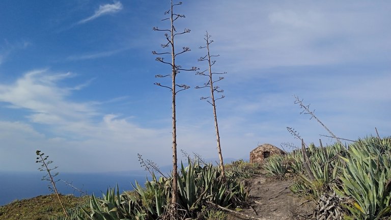
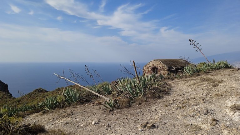
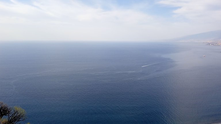
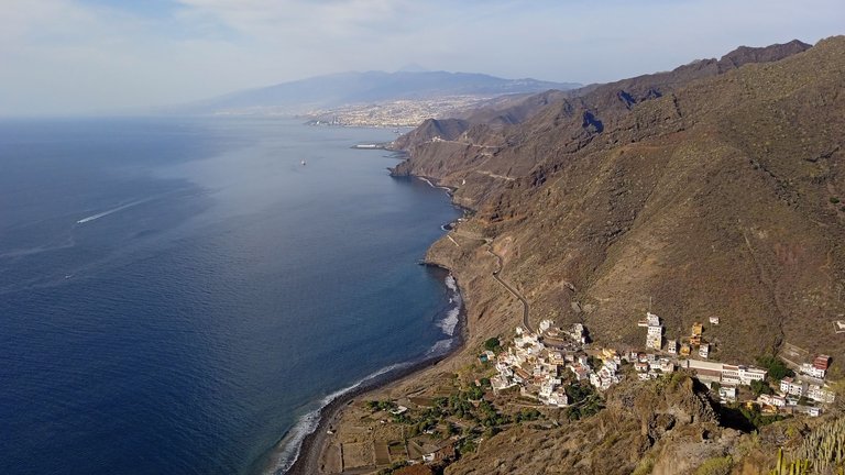
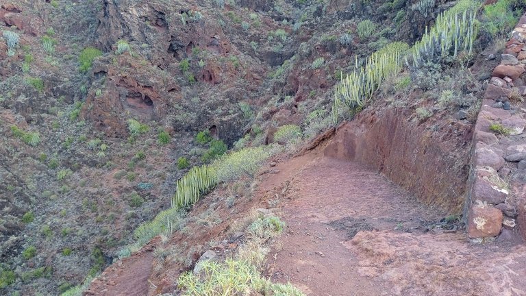
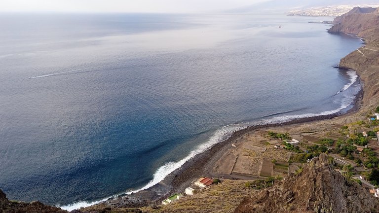
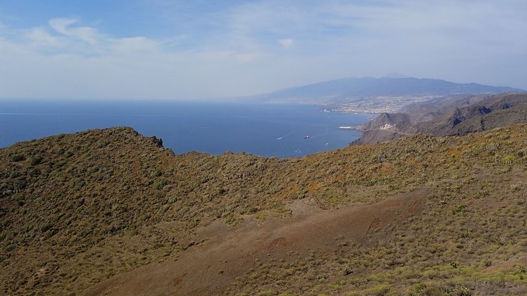
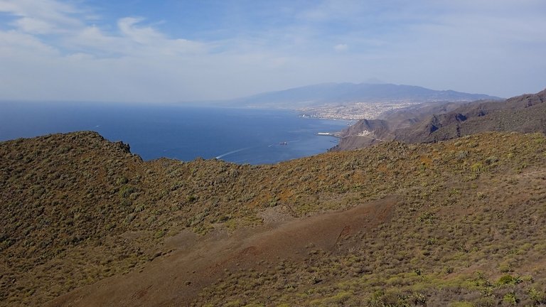
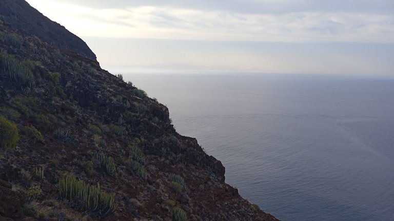
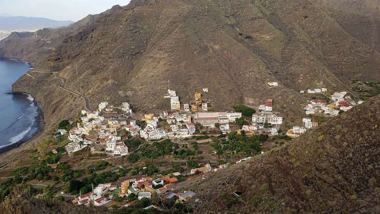
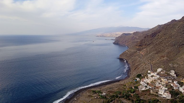
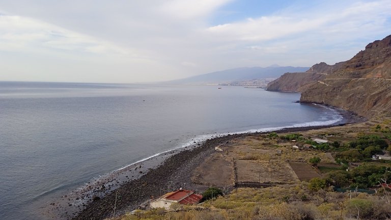
The vegetation throughout the area is desert-like. The landscape reminds me a bit of some coastal areas of Venezuela. We can see a goat in the mountains. Some of the photographs I managed to capture represent a good part of the island. You can see the city of Santa Cruz in the background, along with part of Las Teresitas Beach and the town of Igûeste. This village is very picturesque and charming. Some people may have their own house there, and who wouldn't want to have a house in a place as quiet as this? The only thing this village might lack is a nice sandy beach for swimming, but I guess not everything can be perfect.
La vegetación a lo largo de toda la zona es desértica. El paisaje me recuerda un poco a algunas zonas costeras de Venezuela. De hecho, logramos visualizar una cabra entre las montañas. Algunas de las fotografías que logré captar representan una buena parte de la isla. Se logra apreciar la ciudad de Santa Cruz al fondo, junto a parte de la Playa Las Teresitas y el pueblo de Igûeste. Este pueblo es muy pintoresco y encantador. Algunas personas quizás tienen su propia casa allí, y quien no quisiera tener una casa en un lugar tan tranquilo como este. Lo único que quizás le falte a este pueblo es una buena playa con arena para bañarse, pero supongo que no todo puede ser perfecto.
¡Nos vemos en un próximo post donde seguimos Explorando Tenerife! ¡Hasta la próxima!🔥
See you in the next post where we will continue Exploring Tenerife!... See you next time!
Translated to English language with the help of DeepL.com
Fotografías de autoría propia / Own photos (Redmi 9C)
Otras redes sociales:
 |
 |
 |
F1 & motorsports: @acontmotor
Expresión Creativa. Literatura | Entretenimiento | Arte: @acontblog
| ¡Gracias por visitar! — ¡Thanks for visiting!  |
~~~ embed:1753563555071152538 X #POSH twitter metadata:YWNvbnRjaXZpbHx8aHR0cHM6Ly90d2l0dGVyLmNvbS9hY29udGNpdmlsL3N0YXR1cy8xNzUzNTYzNTU1MDcxMTUyNTM4IFggI1BPU0h8 ~~~
Congratulations, your post has been added to Pinmapple! 🎉🥳🍍
Did you know you have your own profile map?
And every post has their own map too!
Want to have your post on the map too?
Such a breathtaking view..and there's a thriving community amidst the hills by the sea..they're lucky to have such a great view ☺️
They live there very peacefully. It is a quiet village.
seeing the view of the sea from a height was amazing, I was very fascinated to see it
Being there was a fascinating experience.
Una vista bellísima, se ve que es bastante fuerte para llegar a la cima, gracias por compartir tu experiencia, saludos amigo.
Saludos @cetb2008 que bueno que hayas disfrutado las fotografías.
Hiya, @livinguktaiwan here, just swinging by to let you know that this post made it into our Honorable Mentions in Travel Digest #2139.
Your post has been manually curated by the @pinmapple team. If you like what we're doing, please drop by to check out all the rest of today's great posts and consider supporting other authors like yourself and us so we can keep the project going!
Become part of our travel community: