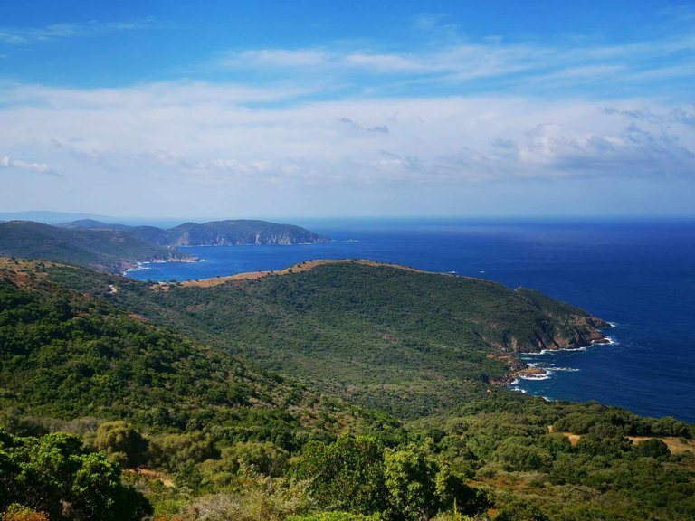
Hello friends! I hope you are all doing very well.
At the moment, with @genesisledger, we are in a rather complicated period in terms of work, we do not have a minute to ourselves and it is not easy to manage. We need to escape... But we do not have time. What a horrible feeling! 😅
So this morning, to escape, I took a look at the photo gallery of my phone and I came across the photos of our vacation in Corsica. In particular, those of a great hike that I had not yet shared with you: Le Capo Rosso. 🥾
It is a loop that is a little less than 8km, for about 3h40/3h50 of walking. The positive elevation gain is 503m and the negative elevation gain is 500m. (Source: https://www.visorando.com/randonnee-le-capo-rosso/)
This is the second time I've done this hike, and I still find it beautiful. It is suitable for beginners, but you still need to be well equipped, have water and not do it in full sun in summer because there are very few shaded areas. 🌴
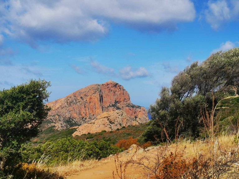
In short, the start is from the car park. And the hike begins with a panorama of Capo Rosso and the Genoese tower of Turghiu (the point of interest of this walk).
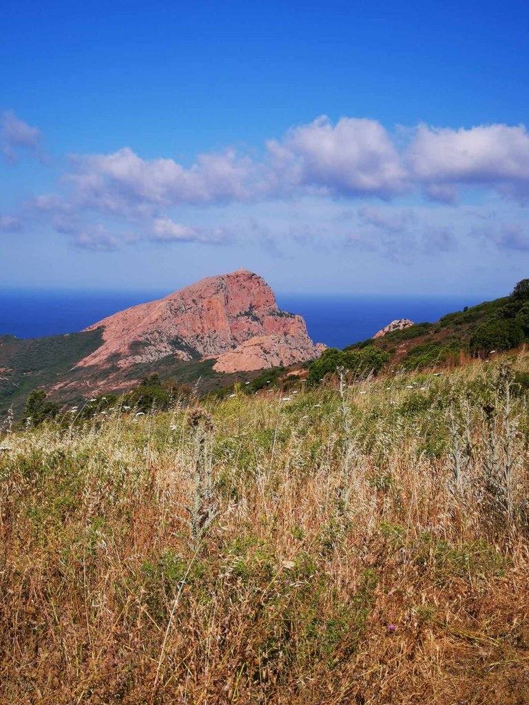
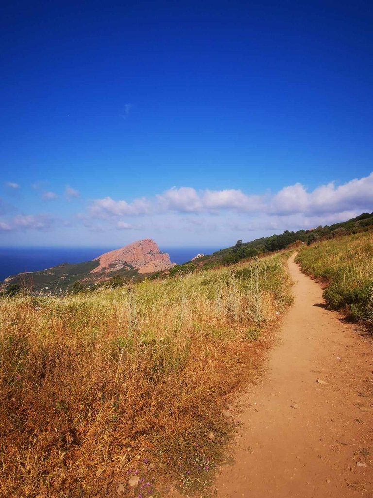
The walk is on a clean path in the middle of the Corsican scrubland and rock.
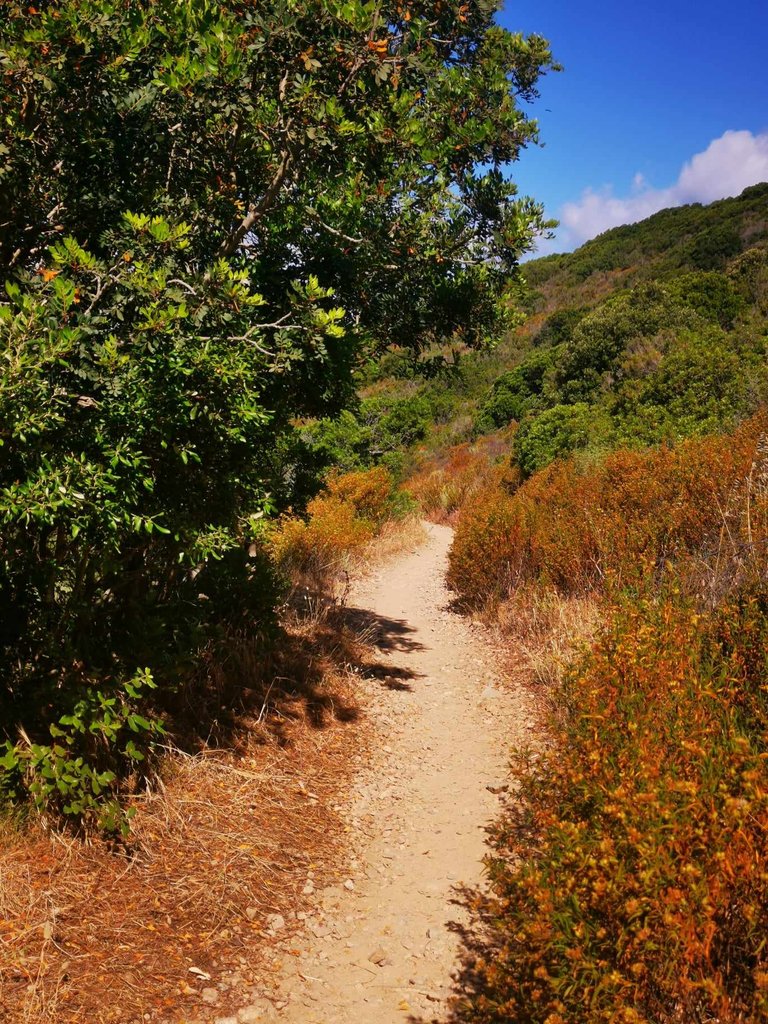
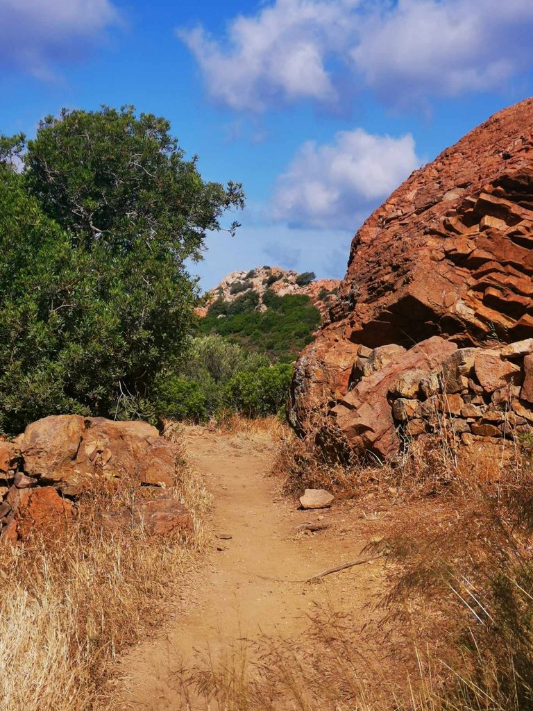
All along the first part, the path descends slightly. The view is just splendid: the Corsican coast! 🌊
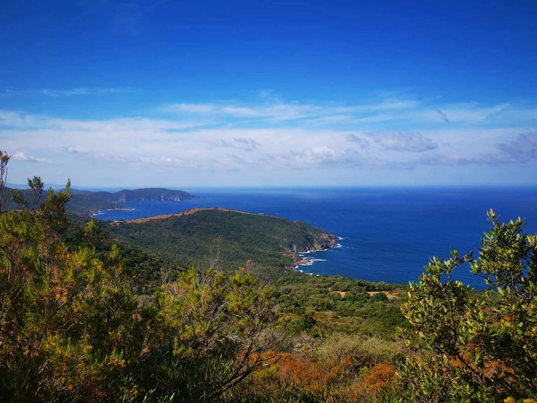
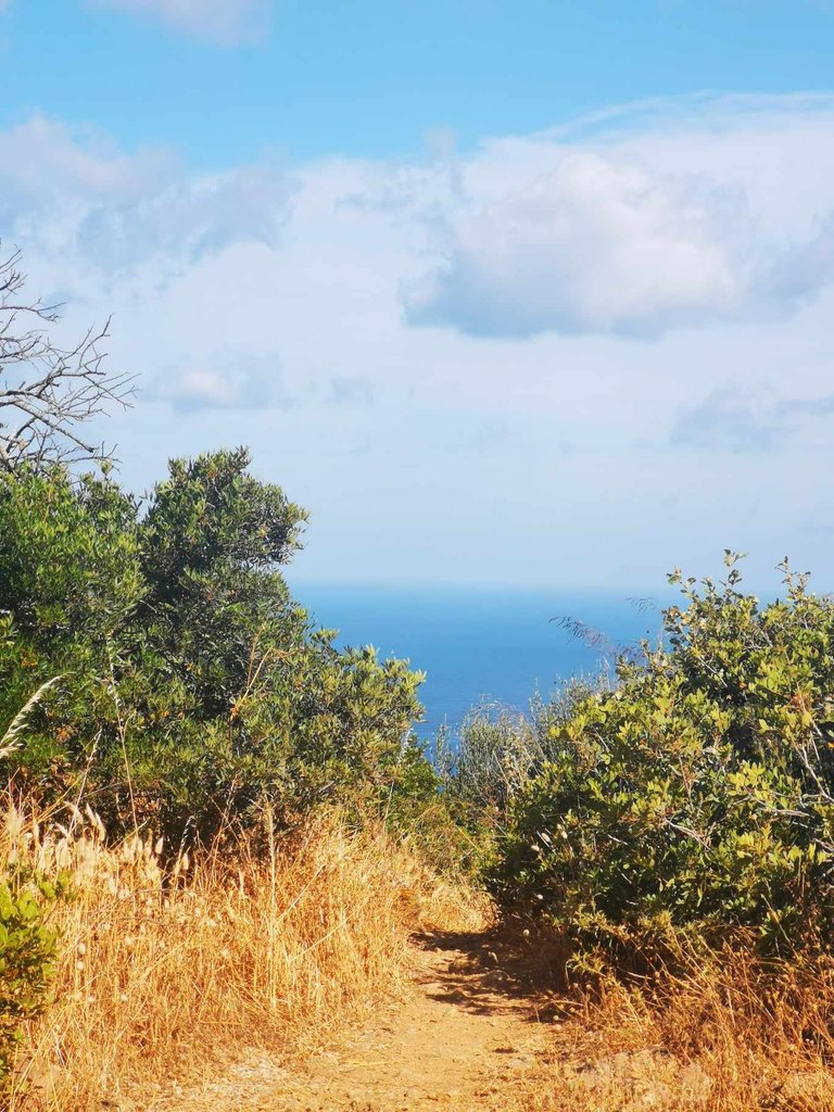
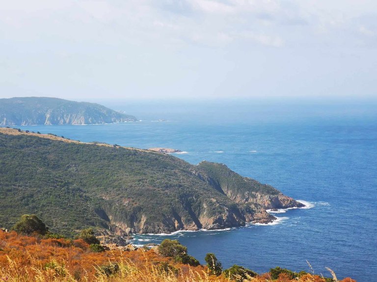
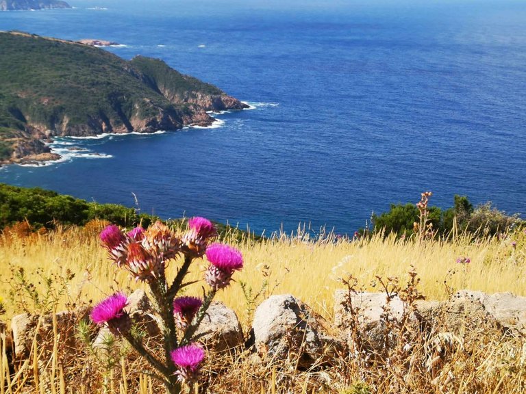
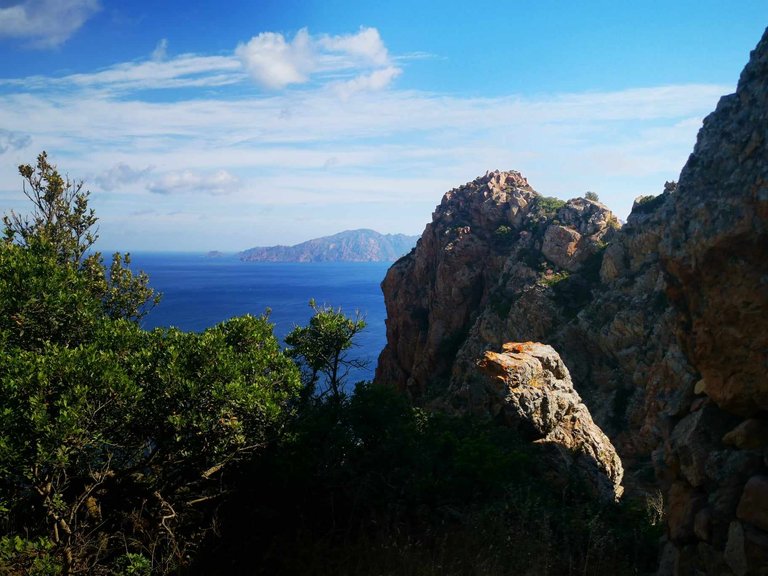
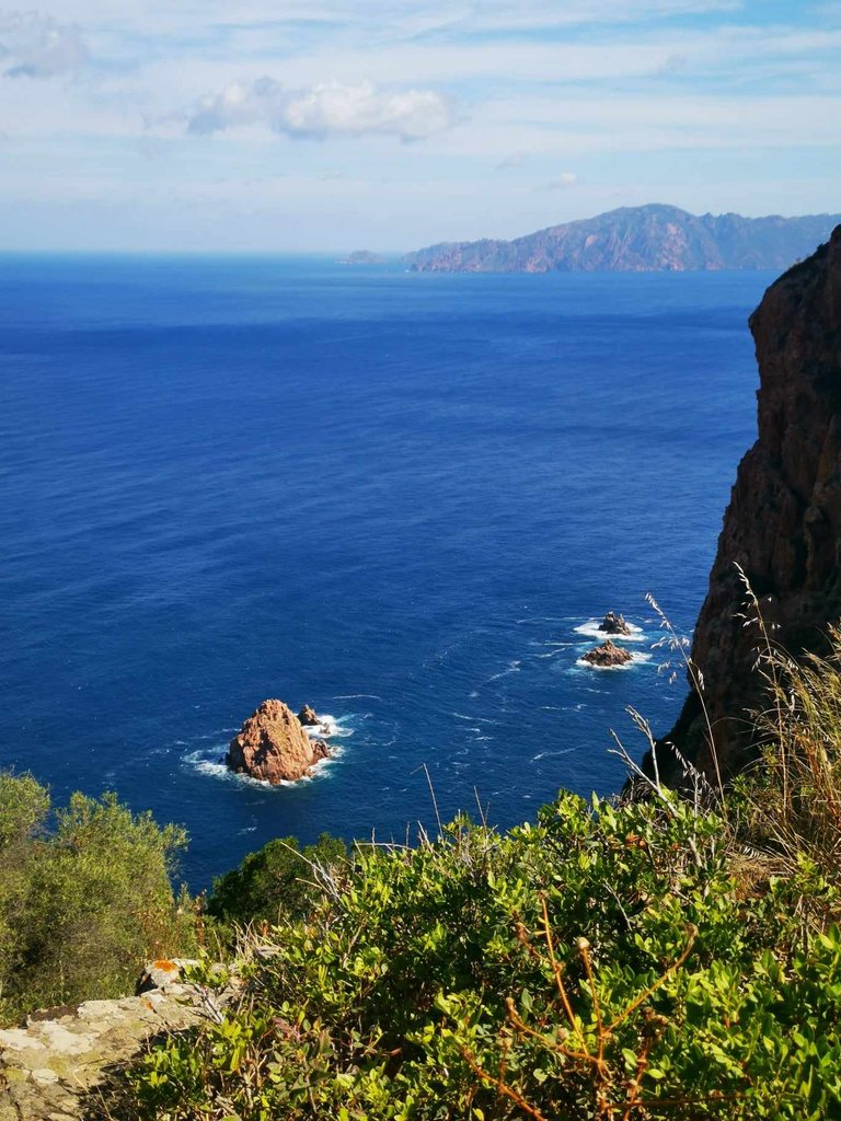
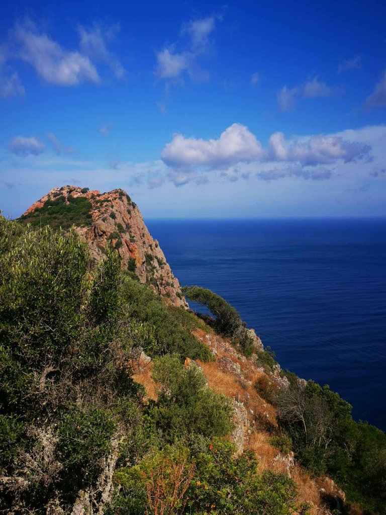
And the more you walk, the closer the Genoese tower of Turghiu gets!
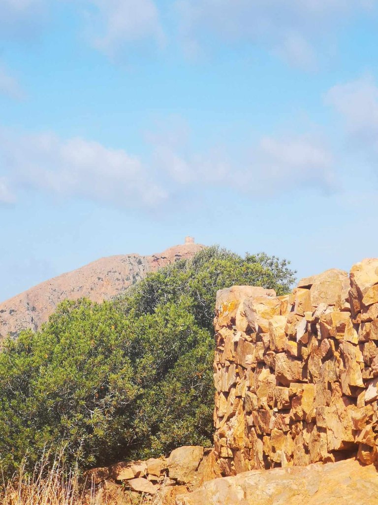
After going downhill (for a little over an hour), I turned around and took a picture of the parking lot.
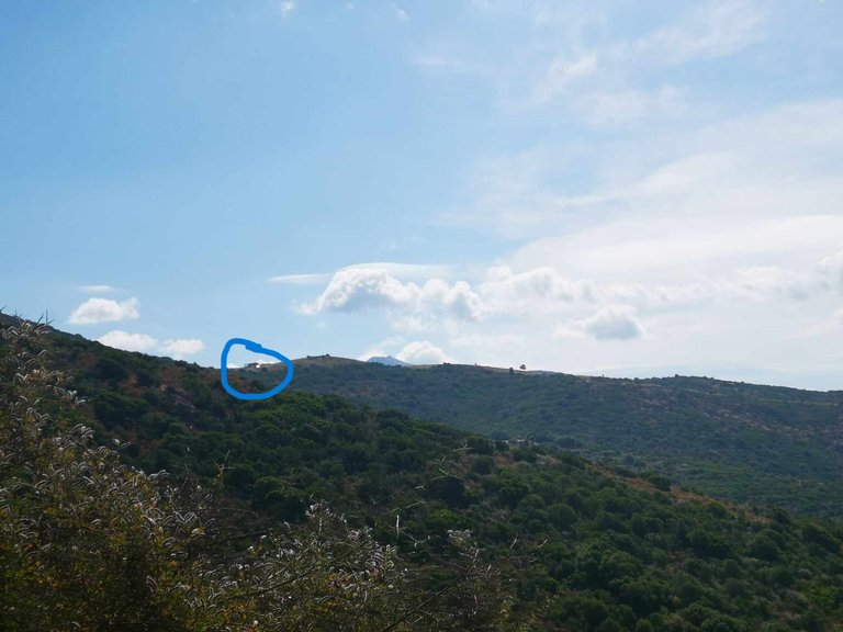
Yes, it's the little shiny thing you can see in the distance. That's when I realized that we'd already walked quite a bit on the way down, that we were far from the starting point and that the return was going to be complicated since we'd have to go back up everything we went down… 😅
Anyway, with @genesisledger and our friends, we continued walking, while admiring the view. The path goes down again...
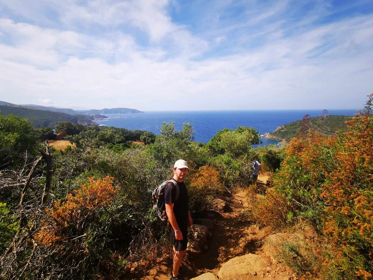
And look at this crazy view!
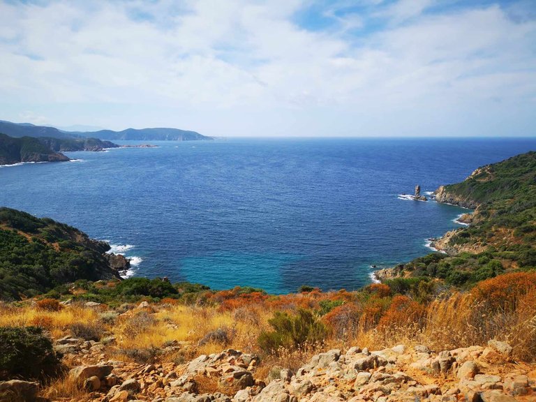
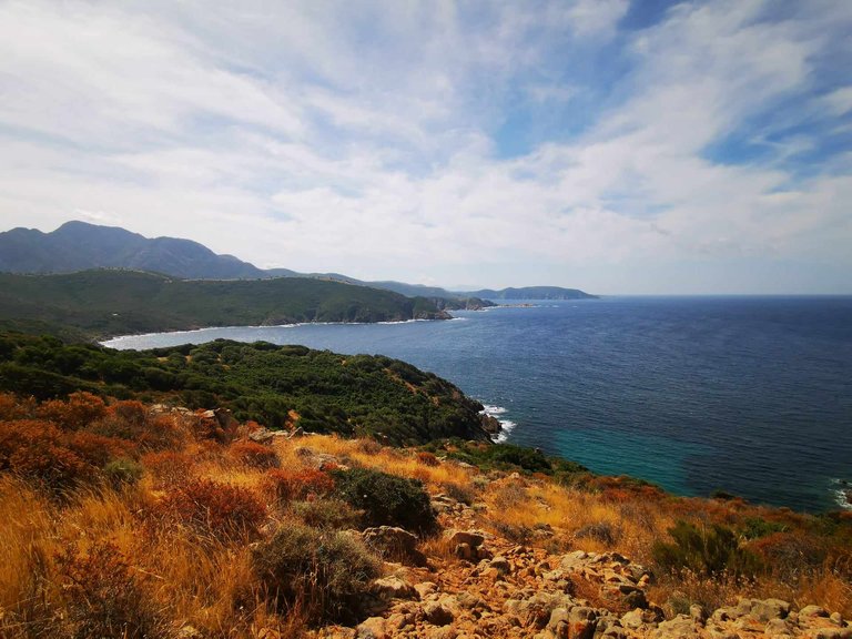
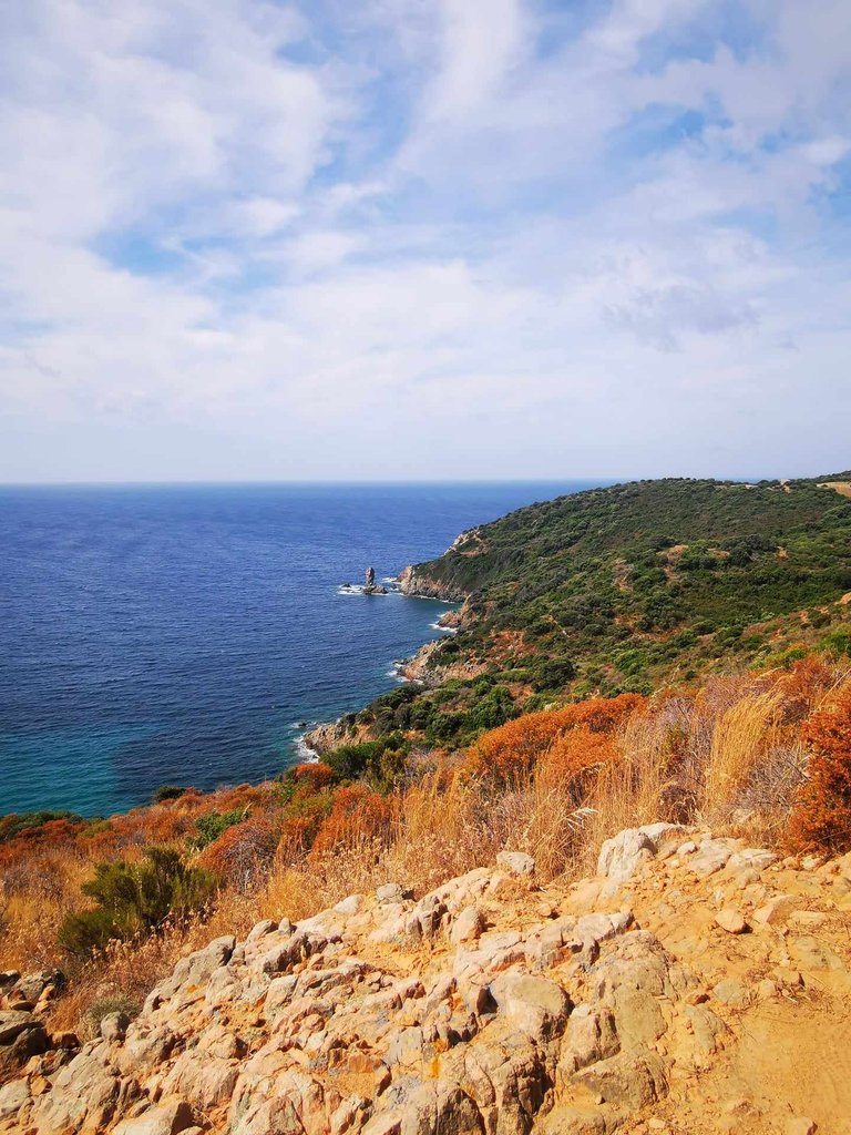
We finally arrived at the end of the first part of the walk: a flat place, where there is an old stone sheepfold, in the middle of the scrubland.
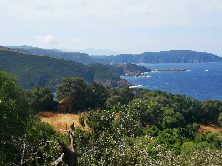
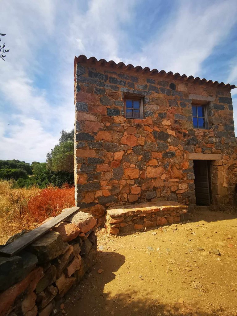
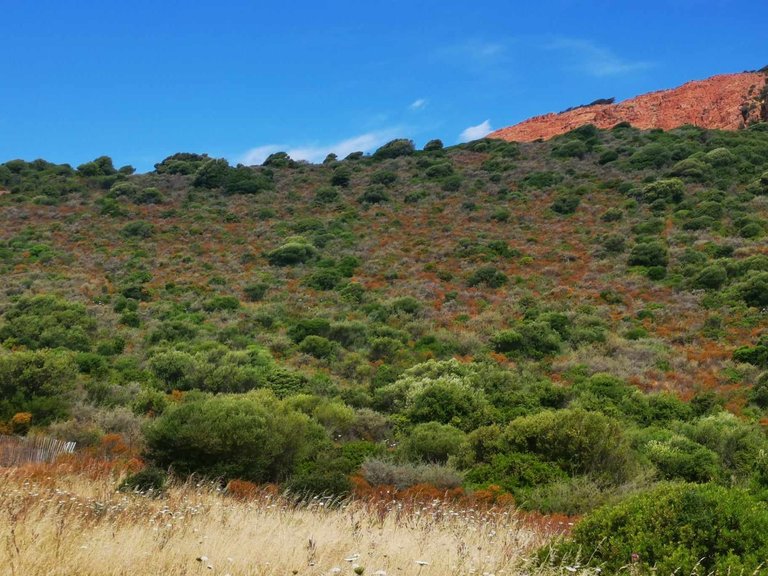
We took a short break for a few minutes: we deserved it! 😊
We had to go all the way up there:
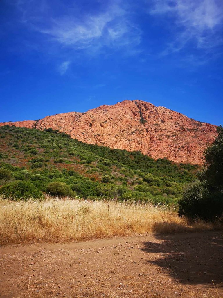
So we had to mentally prepare ourselves to start the climb.
And indeed, it is not easy. It hurt the calves and thighs! 😂
The climb is done on the rock on a small winding path. You have to watch where you put your feet, push yourself to let people go down and manage your breathing.
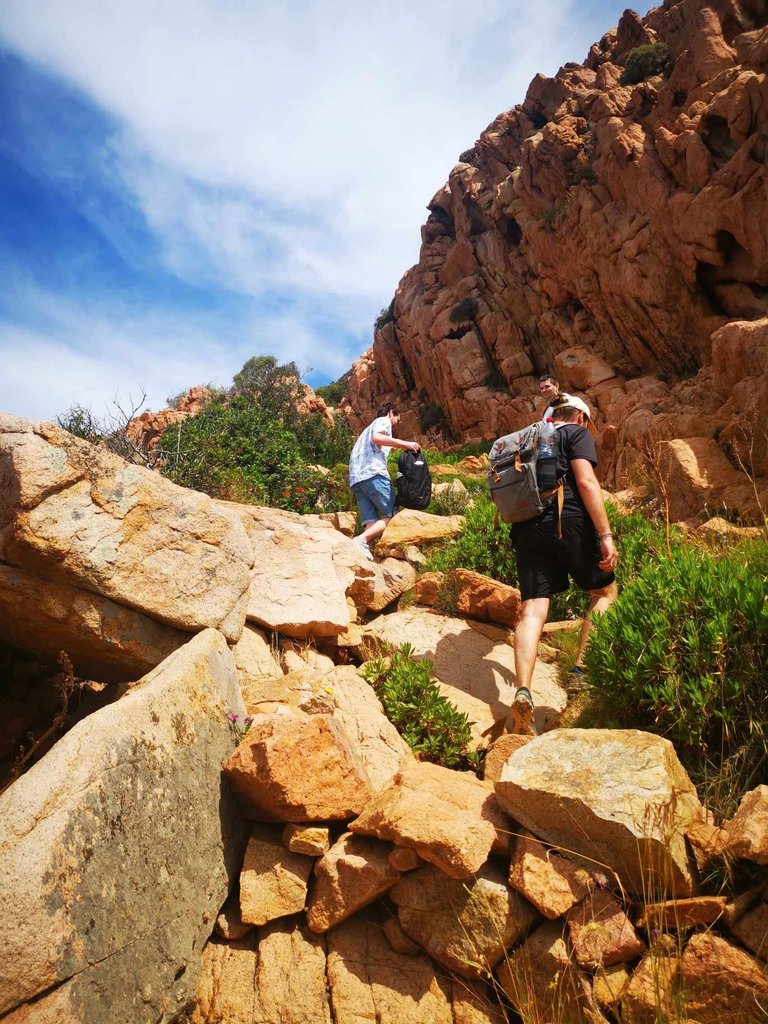
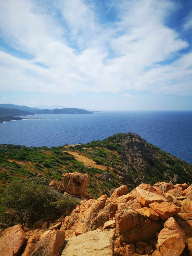
I found it quite complicated, because I am not athletic, I had to take several breaks. But it is doable, and the arrival is all the better for it!
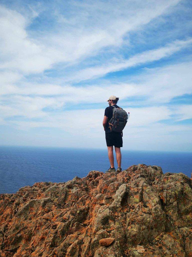
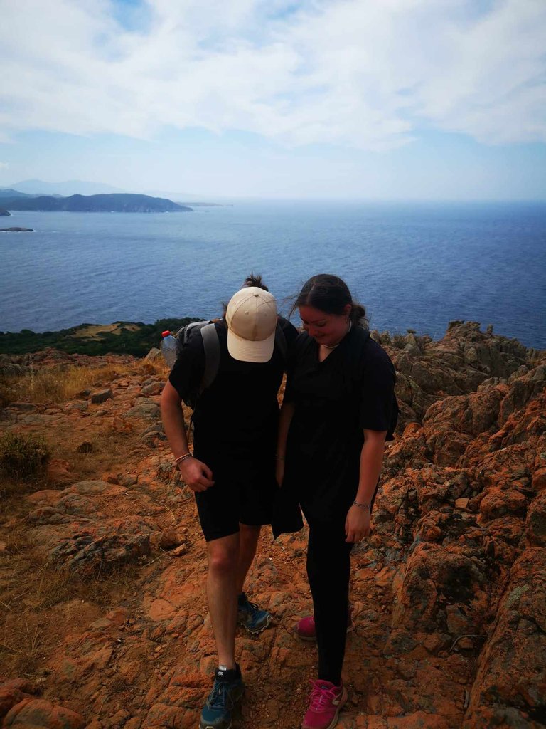
After 2 hours of hiking, we finally reached the top of the Genoese Tower of Turghiu 🎊 :
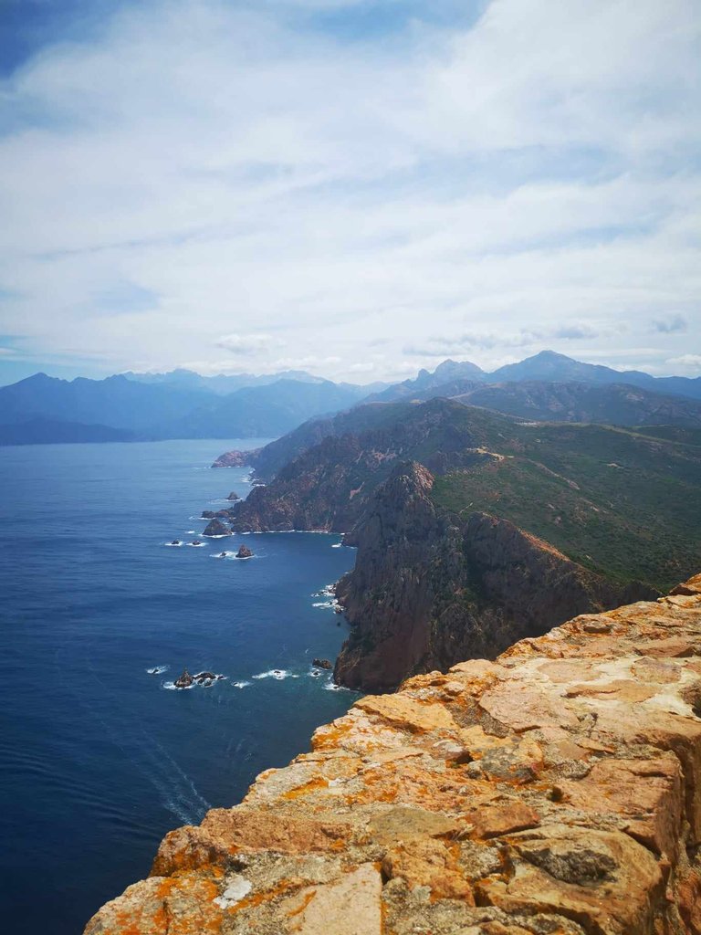
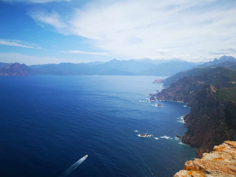
We ate our little sandwich in front of this superb view. What a quality picnic! And after resting for about thirty minutes, we started the return journey.
I did not take any photos, because the path is the same as on the way there. And besides, the return was more difficult, because it was starting to get very hot in the full sun and there were very few trees to take shelter under. 🥵
At first, the descent from the tower to the old sheepfold was quite easy. But then, the climb back up to the car park was more complicated.
But anyway, after almost 4 hours of walking, we finished this beautiful hike. And we deserved a cold drink at the bar in the car park! 👍
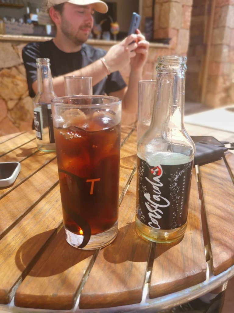
I am really proud to have completed this hike, it is a huge feeling of satisfaction.
So if you ever want to visit Corsica and you like hiking, I advise you to discover Capo Rosso (Capu Rossu in Corsican language).
What was your best hike or walk of 2024? 🥾
See you soon,
Johanna
PS: I used Google Translate to translate the English part

Hello les amis ! J’espère que vous allez tous très bien.
En ce moment, avec @genesisledger, nous sommes dans une période assez compliquée niveau boulot, nous n’avons pas une minute à nous et cela n’est pas simple à gérer. Nous avons besoin d’évasion… Mais le temps nous manque. Quelle horrible sensation ! 😅
Alors ce matin, pour m’évader, j'ai fait un tour dans la galerie photo de mon téléphone et je suis retombé sur les photos de nos vacances en Corse. Notamment, celles d’une super randonnée que je n’avais pas encore partagée avec vous : Le Capo Rosso. 🥾
C’est une boucle qui fait un peu moins de 8km, pour environ 3h40/3h50 de marche. Le dénivelé positif est de 503m et le dénivelé négatif est de 500m. (Source : https://www.visorando.com/randonnee-le-capo-rosso/)
C’est la deuxième fois que je fais cette rando, et je la trouve toujours aussi belle. Elle est adaptée aux débutants, mais il faut être quand même bien équipé, avoir de l’eau et ne pas la faire en plein soleil en été car il y a très peu de zones d’ombres. 🌴
Bref, le départ se fait depuis le parking. Et la randonnée commence par un panorama sur le Capo Rosso et la tour Génoise de Turghiu (le point d’intérêt de cette balade).


La marche se fait sur un sentier propre au milieu du maquis Corse et de la roche.


Tout le long de la première partie, le sentier descend légèrement. La vue est juste splendide : les côtes Corse ! 🌊


Et plus on marche, et plus la tour Génoise de Turghiu se rapproche !


Après avoir bien descendu (pendant un peu plus d’une heure), je me suis retournée et j’ai pris en photo le parking.

Oui, c’est le petit truc brillant qu’on voit au loin. C’est d’ailleurs à ce moment-là que je me rends compte qu’on a déjà pas mal marché en descendant, qu’on est loin du point de départ et que le retour va être compliqué puisqu’il faudra remonter tout ce qu’on a descendu…
Bref, avec @genesisledger et nos amis, nous avons continué de marcher, tout en admirant la vue. Le sentier descend encore…

Et regardez cette vue juste dingue !
center>


Nous sommes enfin arrivés à la fin de la première partie de la balade : un endroit plat, où il y a une ancienne bergerie en vieille pierre, au milieu du maquis.


Nous avons fait une petite pause de quelques minutes : on l’a bien mérité ! 😊
On devait aller tout là-haut :

Alors on devait se préparer mentalement à entamer la montée.
Et en effet, ce n’est pas simple. Ça faisait mal aux mollets et aux cuisses ! 😂
La montée se fait à même la roche dans un petit sentier en lacet. Il faut bien regarder où on pose les pieds, se pousser pour laisser passer les gens qui descendent et gérer la respiration.


J’ai trouvé cela assez compliqué, car je ne suis pas sportive, j’ai dû faire plusieurs pauses. Mais ça se fait, et l’arrivée n’en est que meilleure !


Après 2h de randonnée, nous avons enfin atteint le sommet de la Tour Génoise de Turghiu 🎊 :


Nous avons mangé notre petit sandwich devant cette superbe vue. Quel pique-nique de qualité ! Et après s’être reposés pendant une trentaine de minutes, nous avons entamé le chemin du retour.
Je n’ai pris aucune photo, car le chemin est le même qu’à l'aller. Et d’ailleurs, le retour a été plus pénible, car il commençait à faire très chaud en plein soleil et il y avait très peu d’arbres où s’abriter. 🥵
Au début, la descente de la tour jusqu’à l’ancienne bergerie s’est faite assez facilement. Mais ensuite, la remontée vers le parking a été plus compliquée.
Mais bref, après presque 4h de marche, nous avons fini cette belle randonnée. Et nous avons bien mérité une boisson fraîche au bar du parking ! 👍

Je suis vraiment fière d’être venu à bout de cette randonnée, c’est un sentiment de satisfaction énorme.
Alors si jamais vous souhaitez visiter la Corse et que vous aimez la randonnée, je vous conseille de découvrir le Capo Rosso (Capu Rossu en langue Corse).
Quelle a été votre plus belle randonnée ou balade de 2024 ? 🥾
À bientôt,
Johanna
PS : J’ai utilisé Google traduction pour traduire la partie en anglais
You can check out this post and your own profile on the map. Be part of the Worldmappin Community and join our Discord Channel to get in touch with other travelers, ask questions or just be updated on our latest features.
Travel Digest #2400.
Become part of our travel community:
- Join our Discord
Hiya, @ybanezkim26 here, just swinging by to let you know that this post made it into our Honorable Mentions in Your post has been manually curated by the @worldmappin team. If you like what we're doing, please drop by to check out all the rest of today's great posts and consider supporting other authors like yourself and us so we can keep the project going!