Hello to all my friends who are travelers and tourists. I hope you are in a good mood. Today I came to refresh you with another spring post.
At this time of the year, instead of being in a winter mood, because we are nearing spring and after a few short months, spring promises to come, I like to review the spring mood of the past years.
In continuation of my previous posts that were related to Dareh Chirik and Dasht Argvan, this time I would like to share with you another hiking route to Takht Sanbal or which starts from Jabar village
👇
https://hive.blog/hive-163772/@azamsohrabi/guerrilla-valley-a-dreamy-landscape-in-the-heart-of-pristine-nature.
Actually, the path of the hyacinth board is in a valley in front of it, along the Cherik valley, and these valleys were named by different names according to the type of cover and the type of region.
Due to the fact that each valley from the beginning of the mountain slope to the top is almost long and requires a day's time for climbing, that's why climbing groups navigate these valleys in the form of one-day trips.
And of course, the beauty of these routes is not without grace, which makes us stop more in the middle of the route, which will increase the beauty and the climbing time.
And of course, in the first half of the year, I always try to participate in mountain climbing group programs as much as my work schedule allows, and I can go to places where I can't go with my family and other members with climbing groups.
Let's go to start sharing together and cheer up your mood😉😉😉
🌳🌳🌳🌳
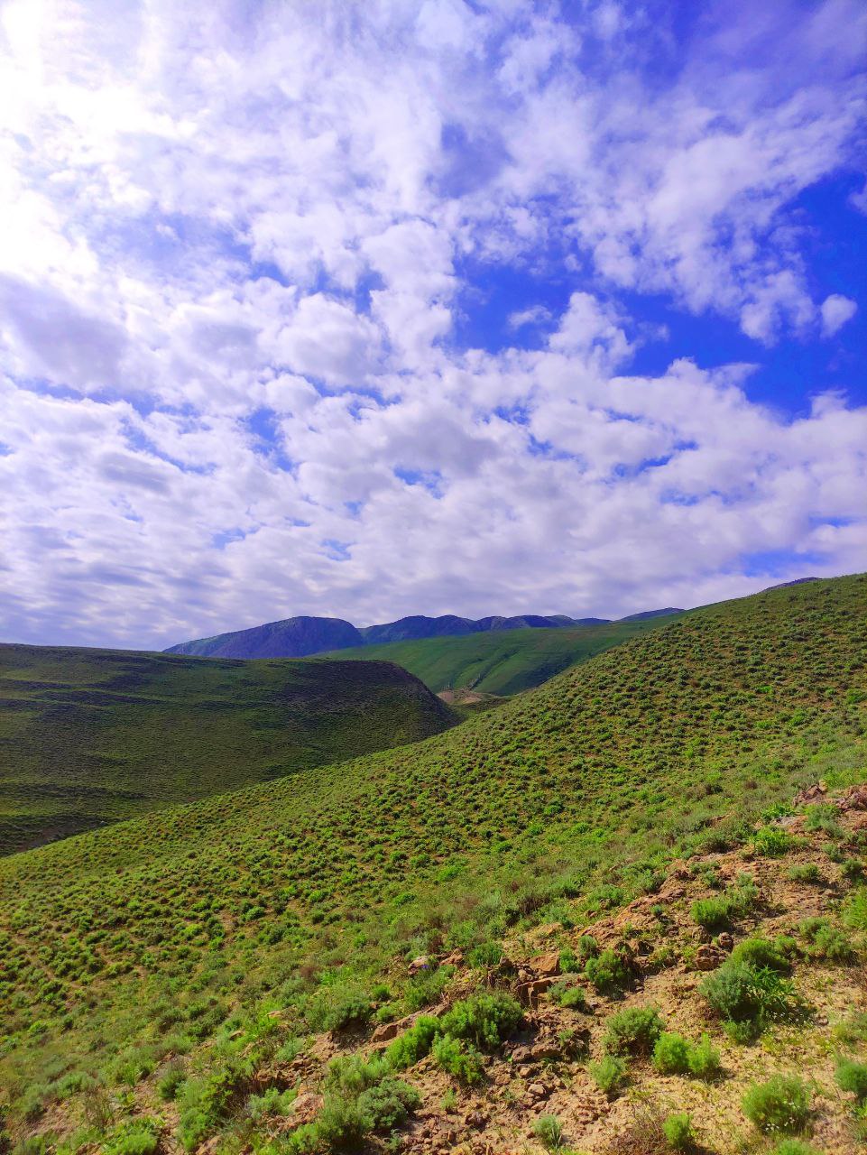
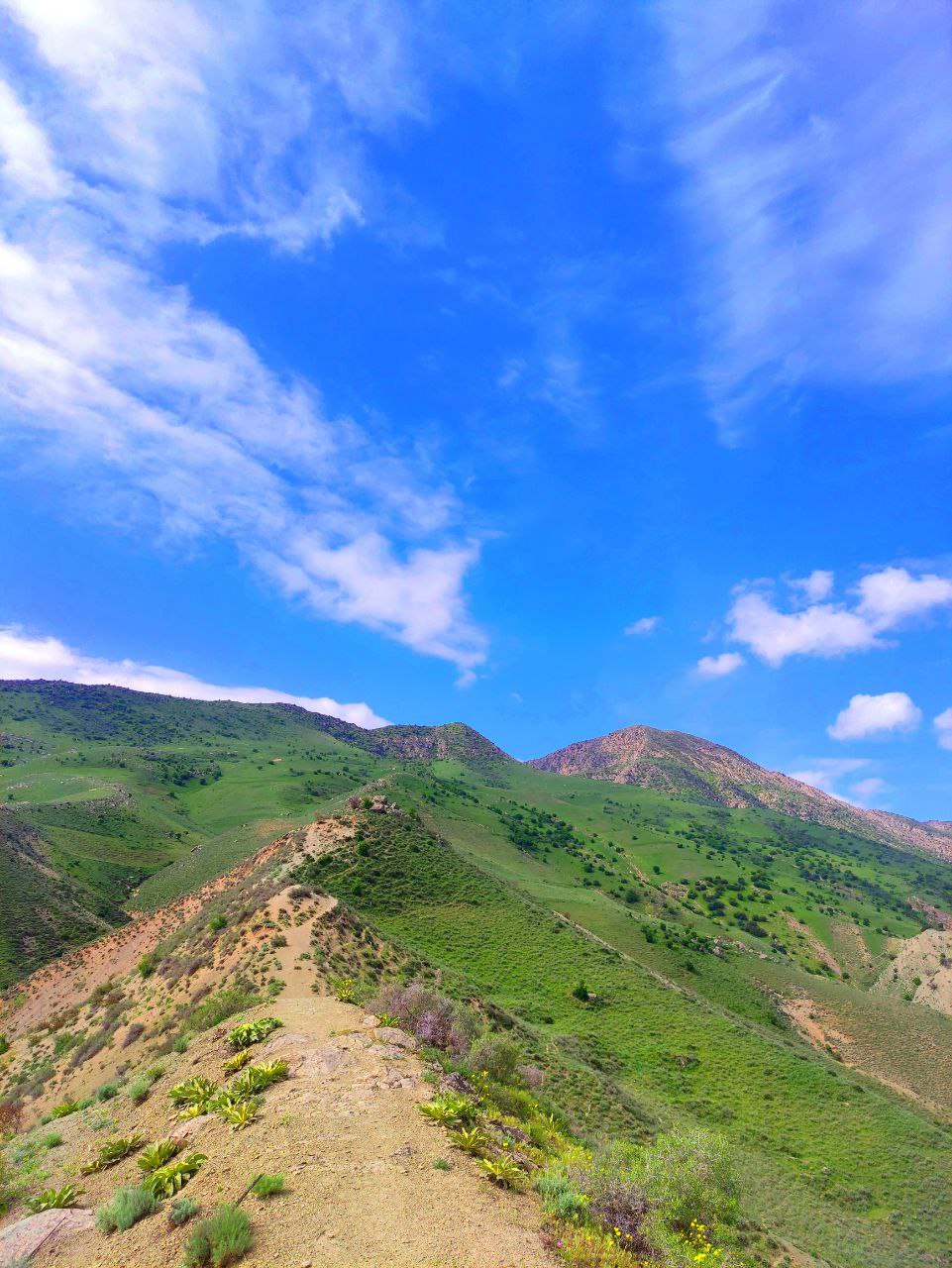
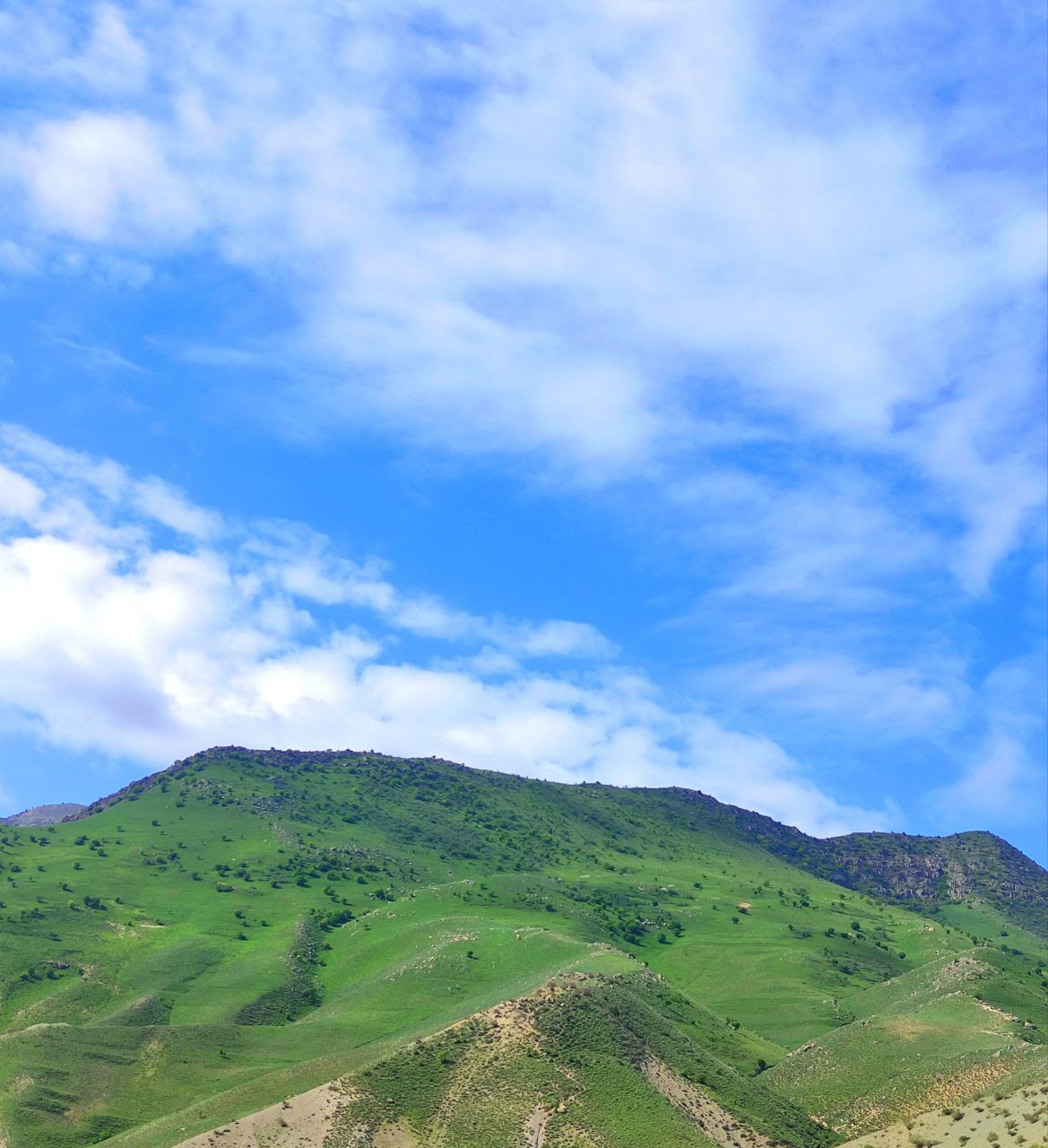
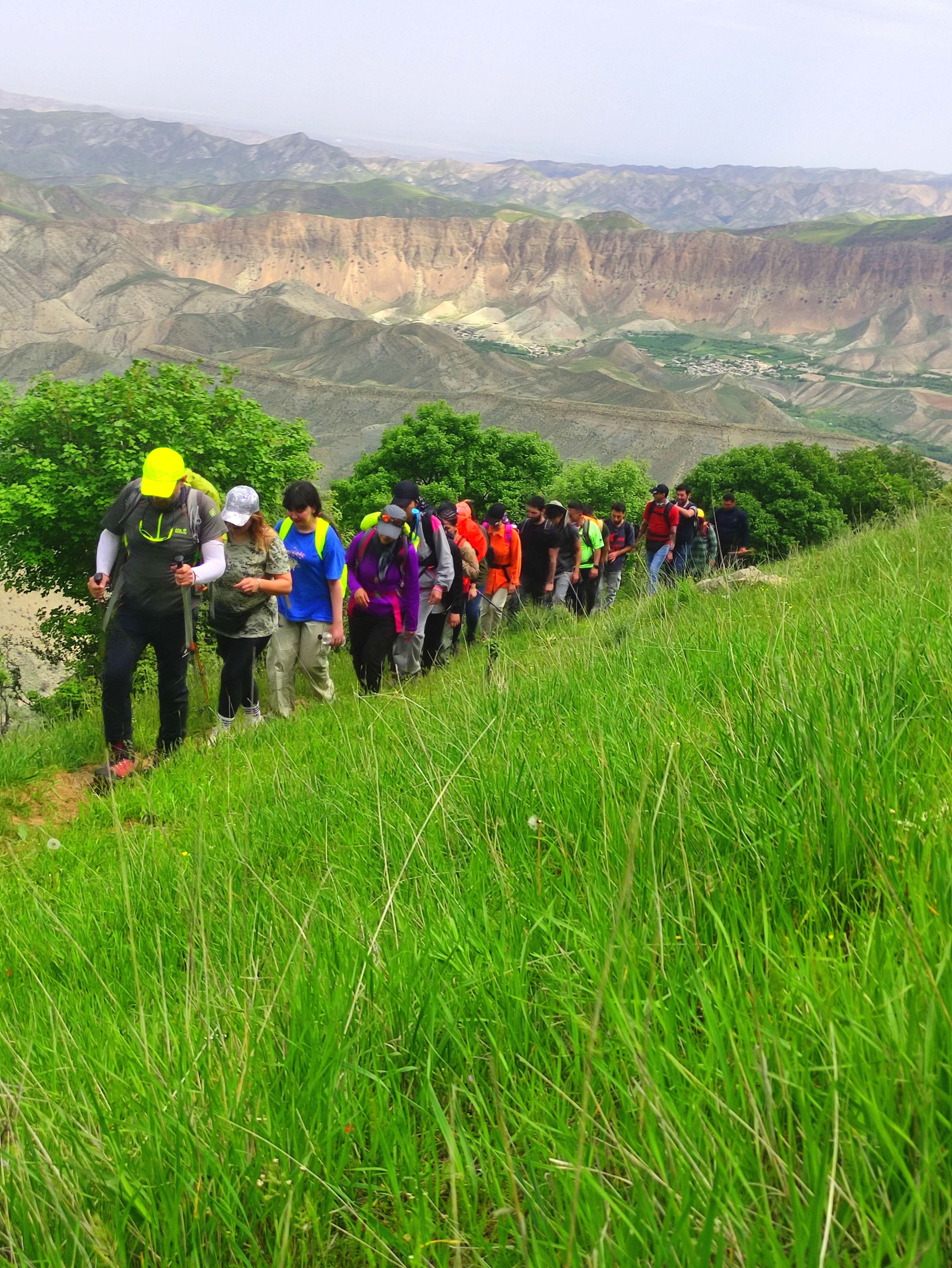
These three photos are the entrance of the valley from Jabar village, which is the beginning of the trekking route in the valley.
This village is located in Kalate Chenar district in Daronagar district of Dargaz city, which attracts a lot of tourists in all seasons, especially in spring.
At the beginning of the journey in the valleys, it seemed very smooth until the top, but in contrast to that, the slope was very gentle and at the end, the slope was quite steep, so many of the children in the group did not accompany to reach the peak.

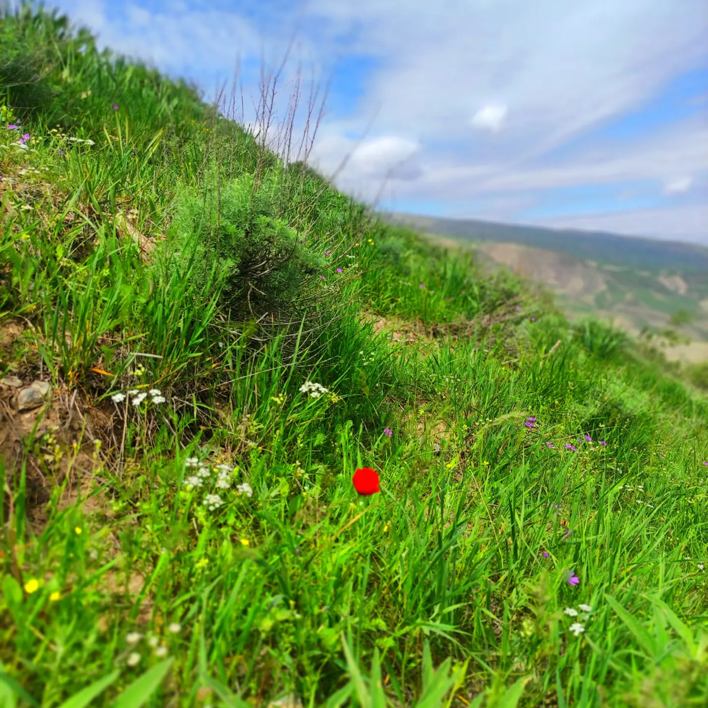
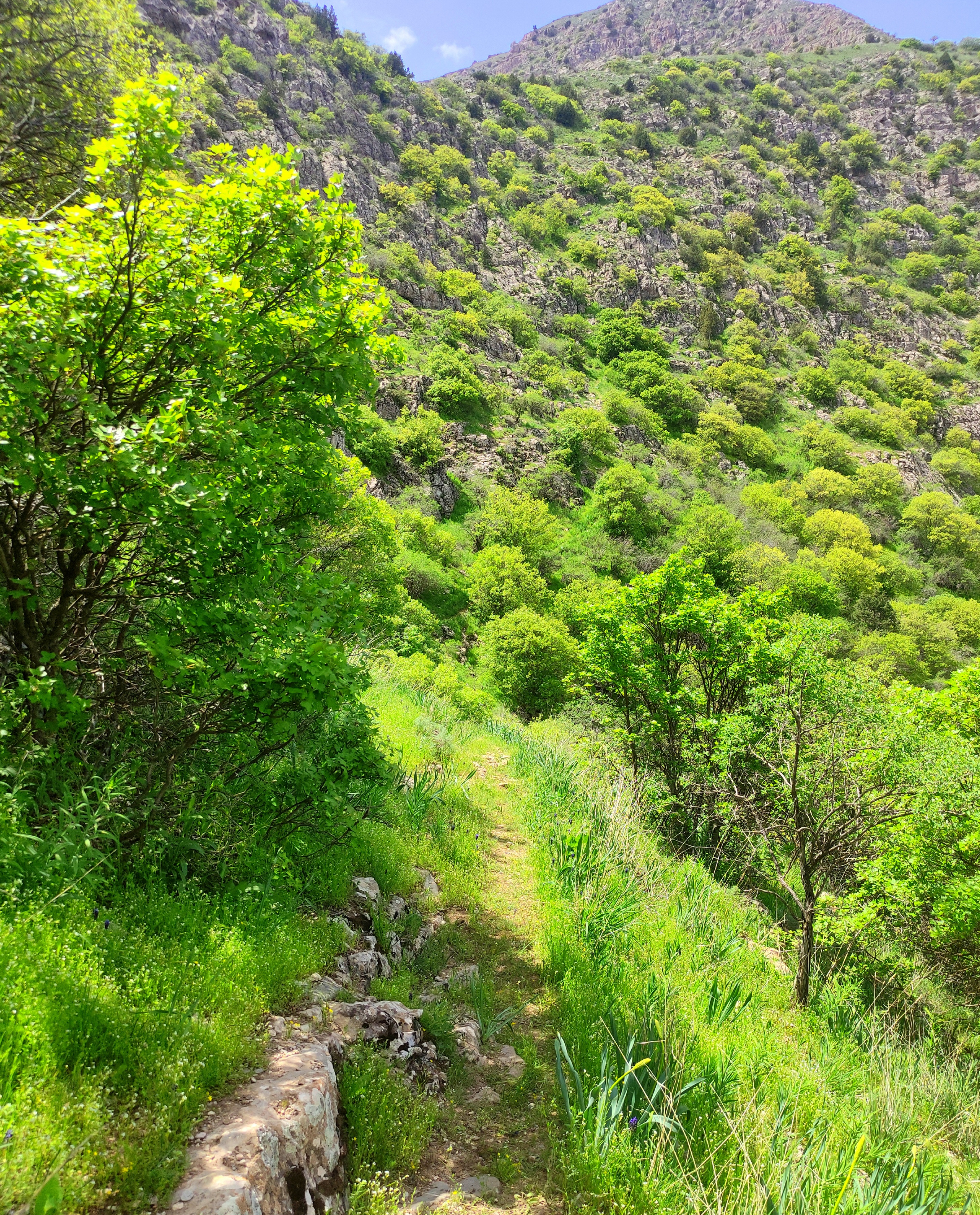
The path was very green and full of spring flowers and we could feel the tenderness of the beautiful spring season only in this area. Sometimes it was sunny and sometimes it was cloudy.
The number of shrubs at the beginning of the path was very few, and most of the nature was like green grass, where small purple flowers of dandelions, yellow flowers and red flowers of anemones were also seen.
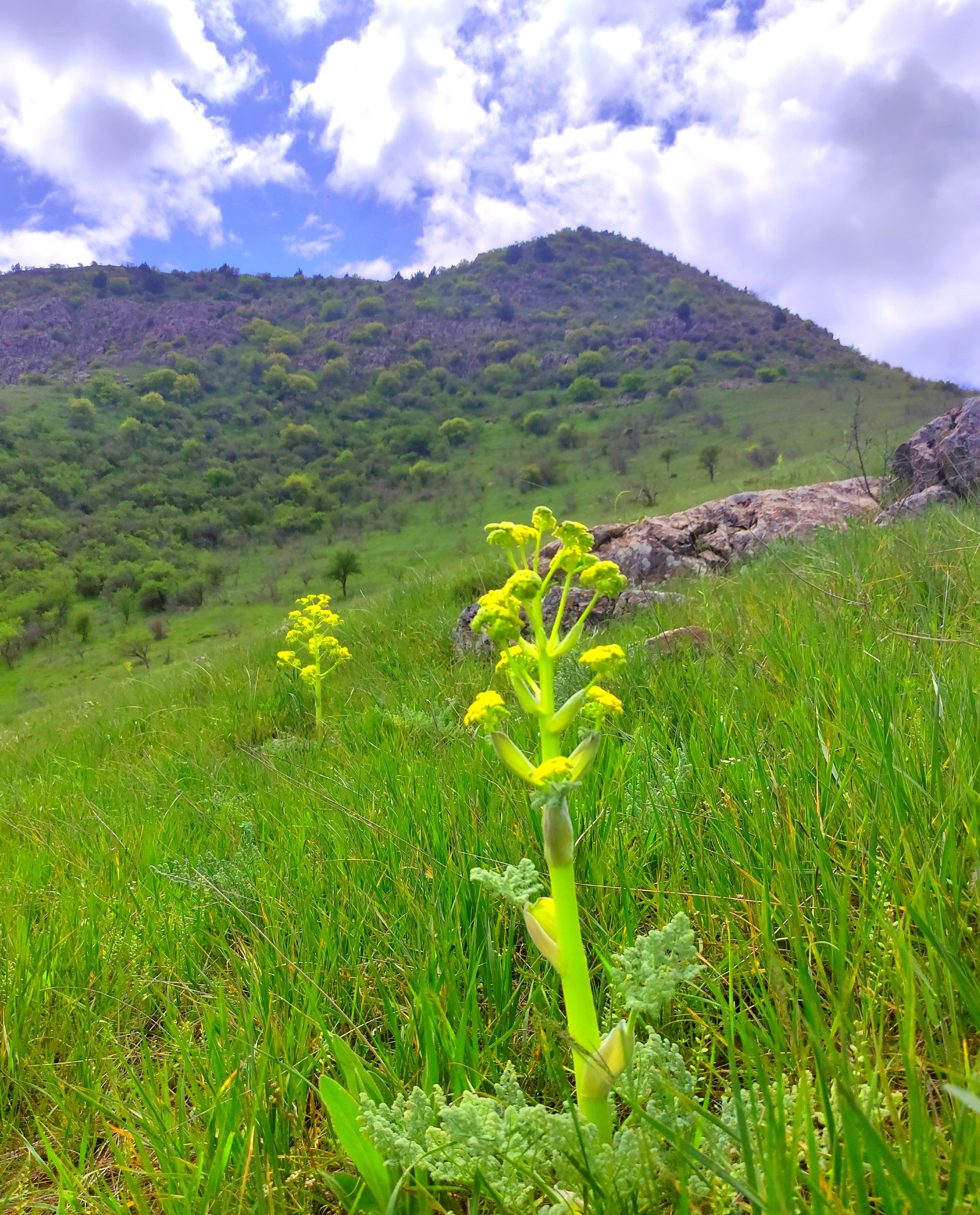

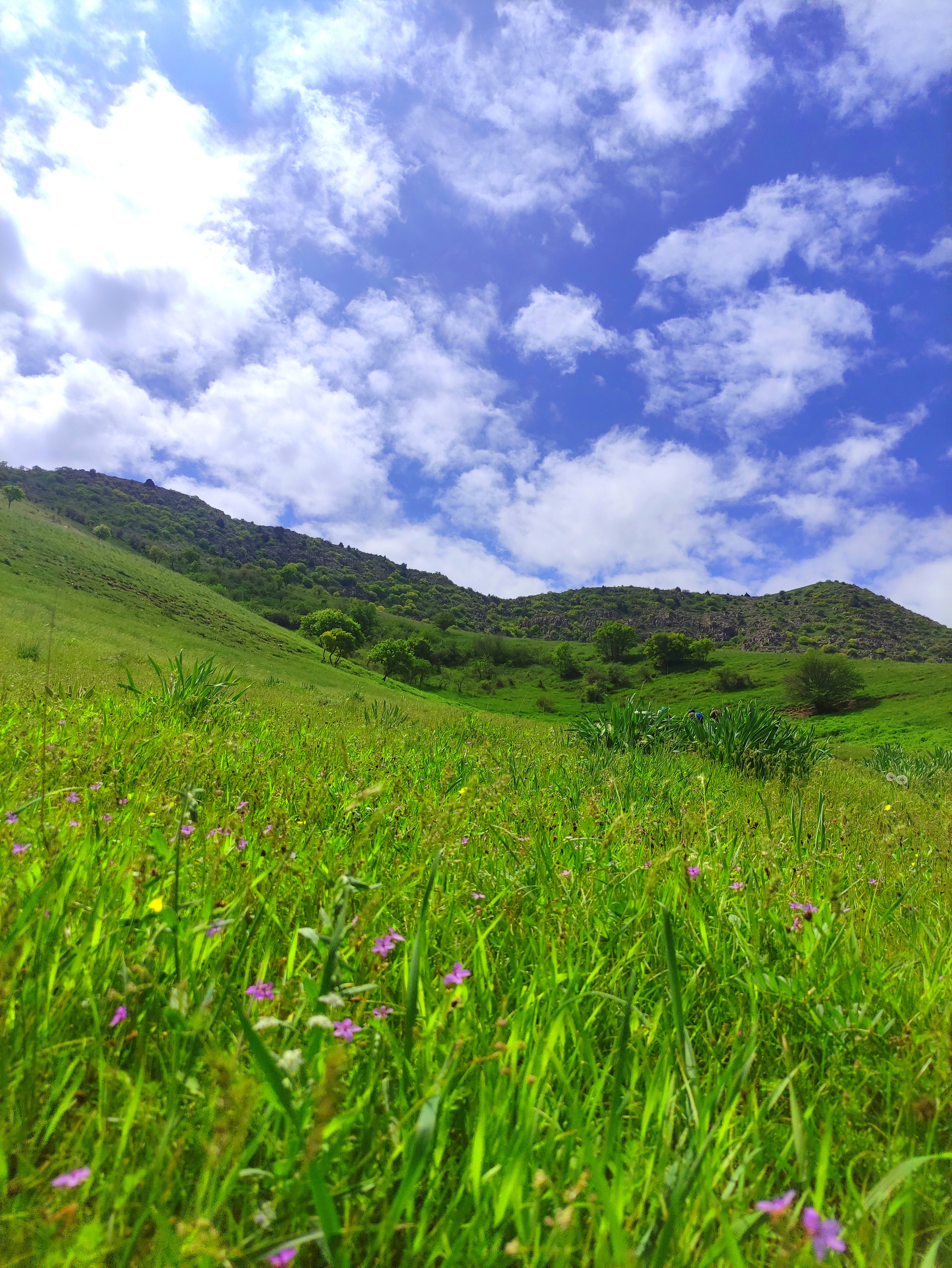
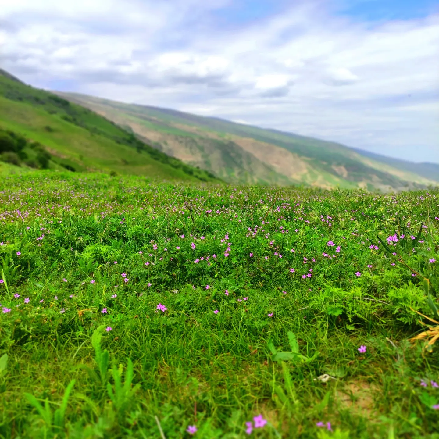
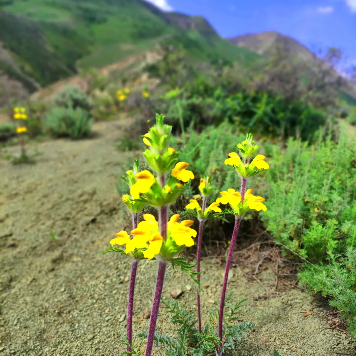
Going up and down the slopes of the mountains and seeing all this beauty is really amazing.
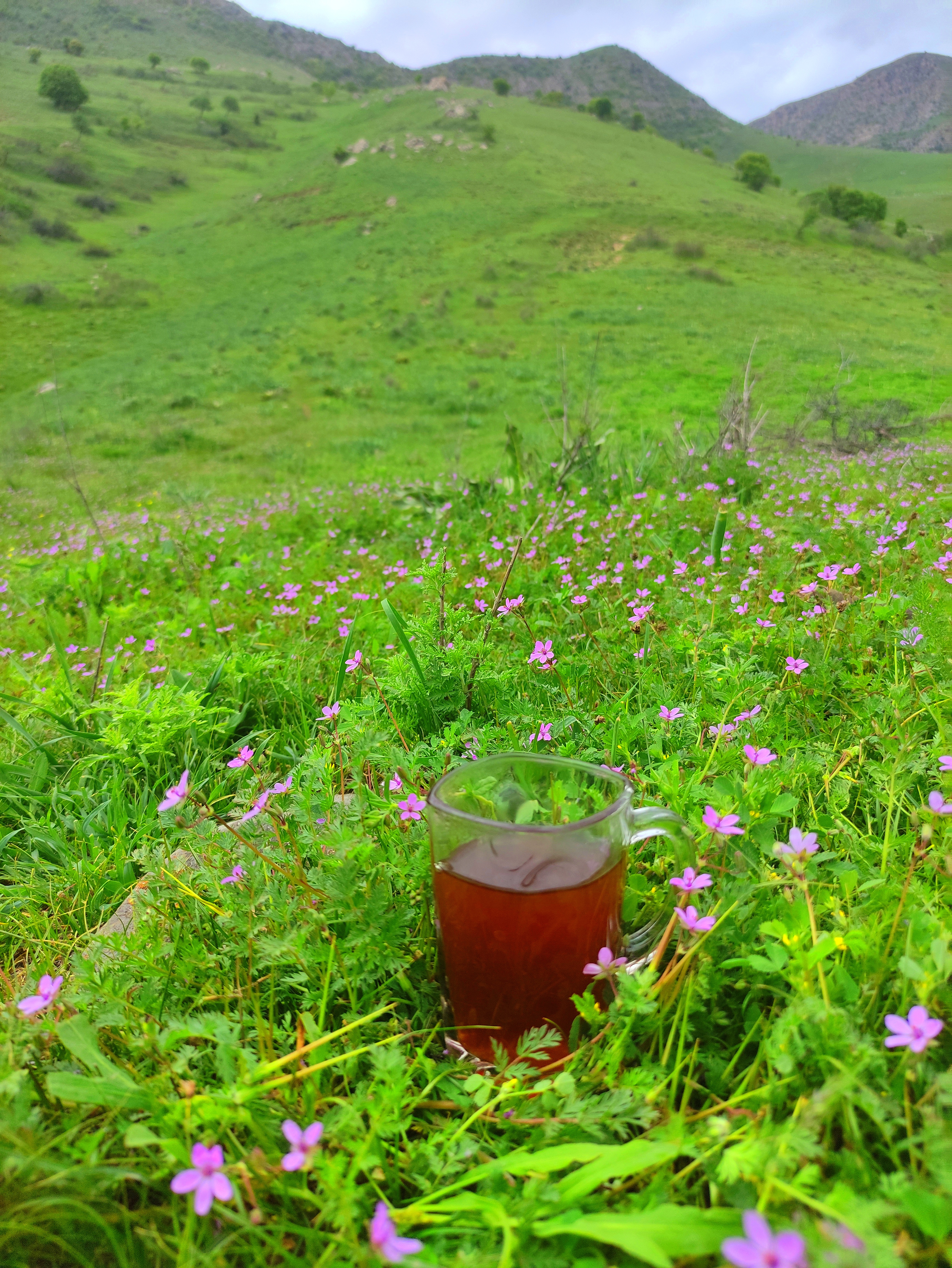
Sometimes I went ahead of the group and waited for the group to arrive by drinking a glass of tea in the heart of the mountains and taking this artistic photo of purple flowers.
The sky was charming with its beautiful clouds and gave my photos a different effect.
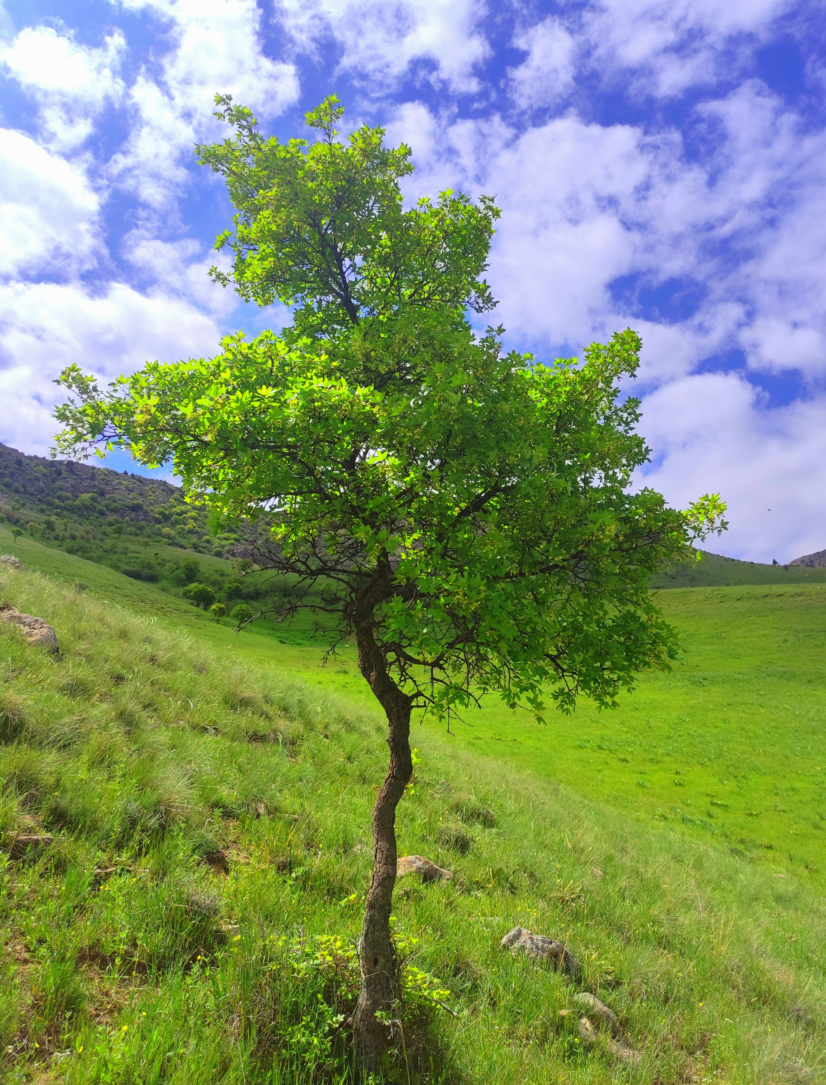
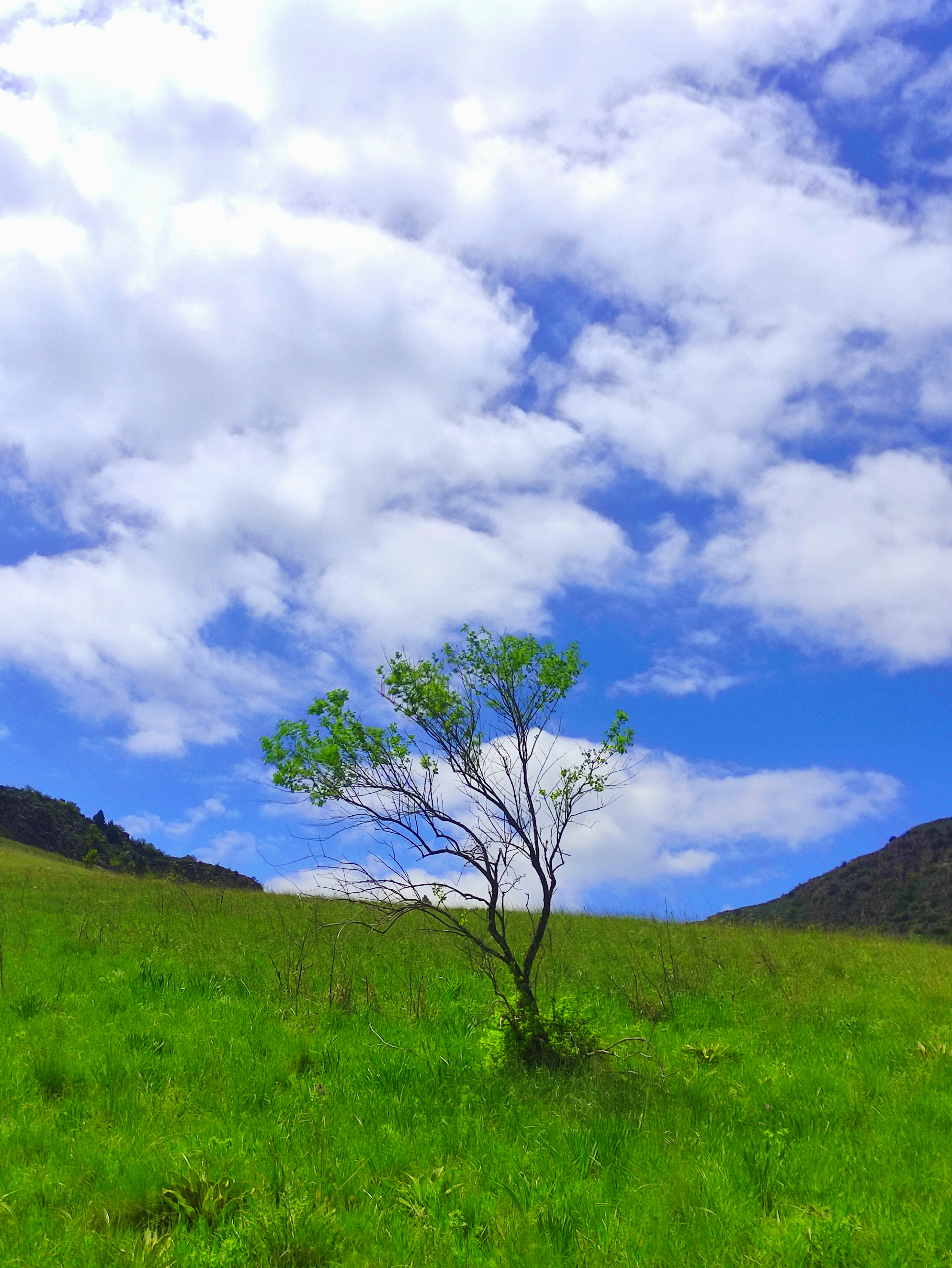
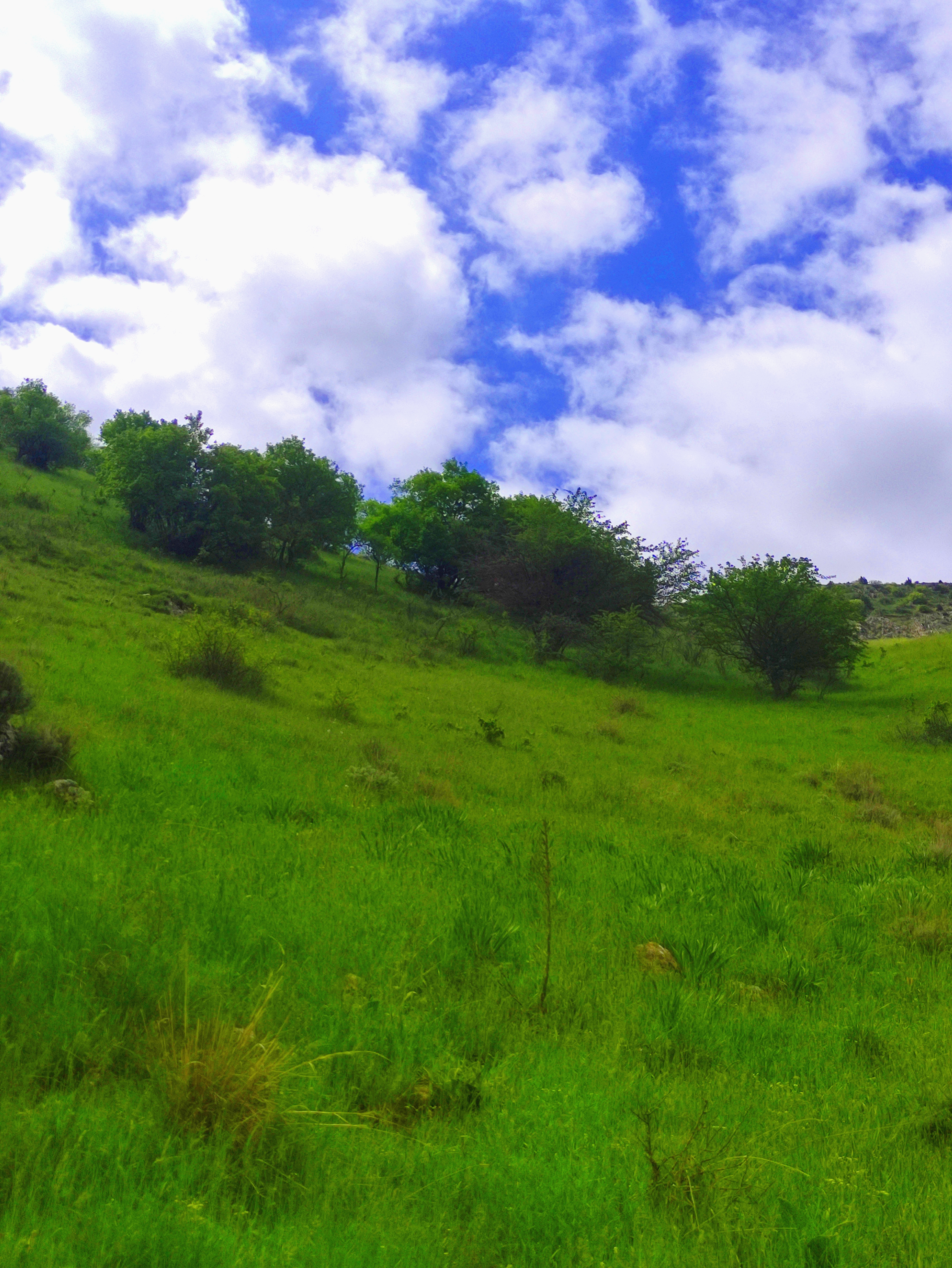


Little by little, the traces of shrubs and trees could be seen, and for me, the growth of these shrubs in this area and near the top of the mountain was very interesting. The higher we went, the more green it became. I took these photos between short breaks.

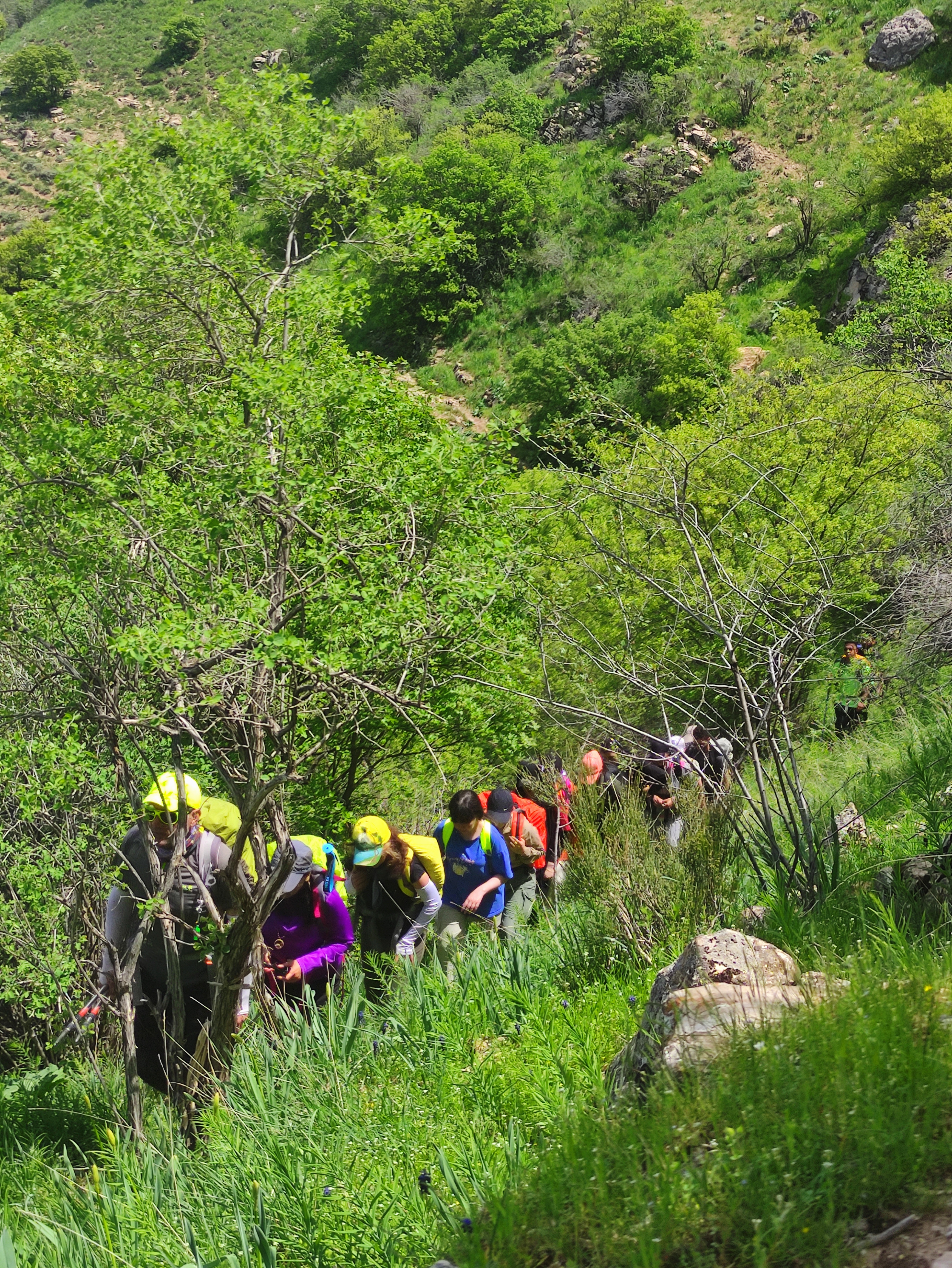
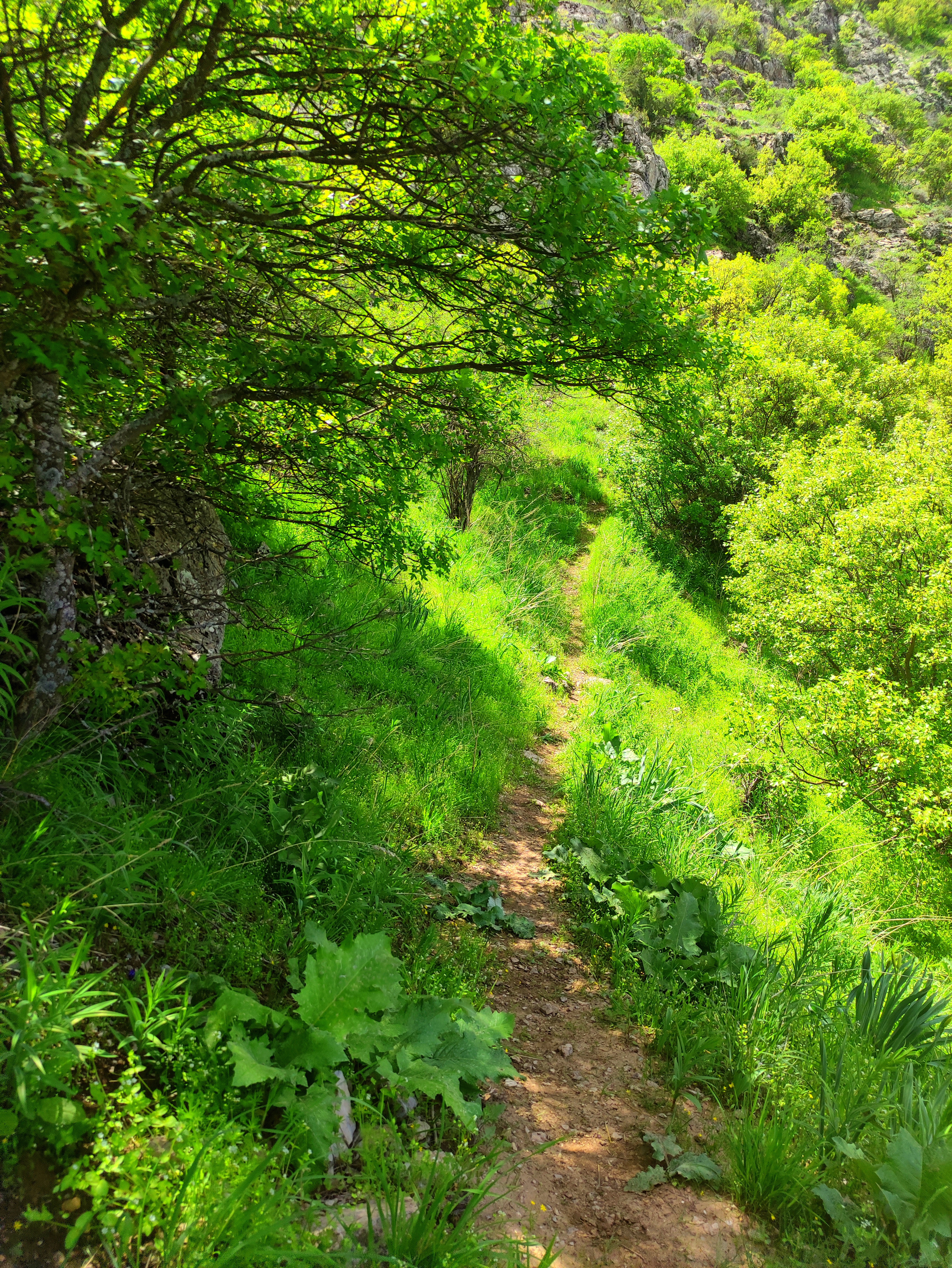
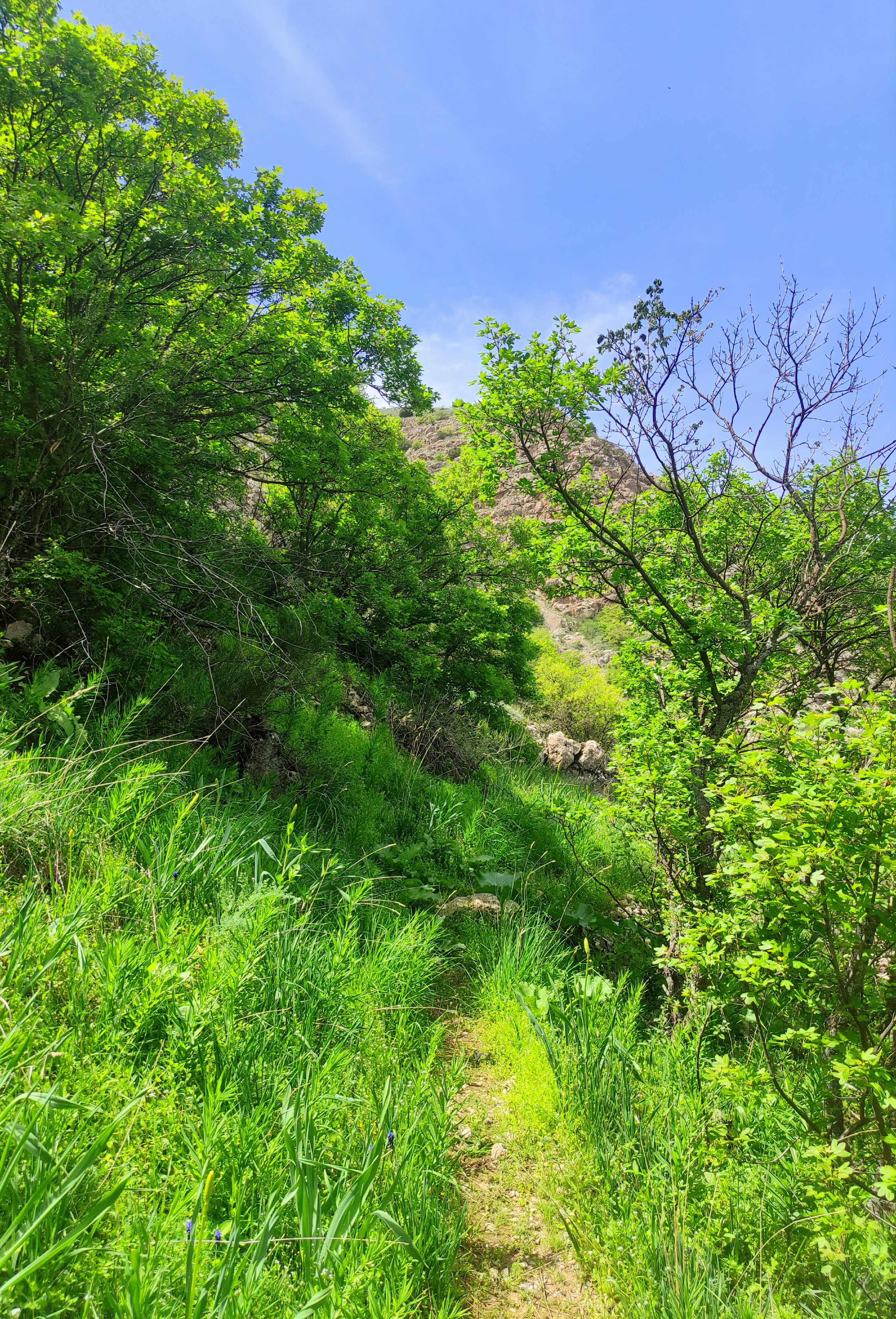
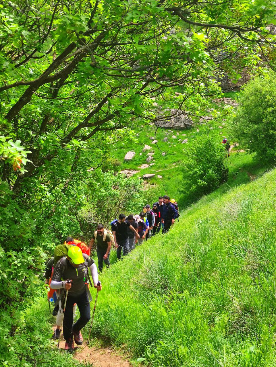
Although we were between these bushes and finding the path to the top of the mountain, it was a bit confusing, but according to several dirt roads that were a sign of people passing through in the past! In a way, it showed the way. And this also made the members of the group move regularly in the same direction.
Up to the top of the mountain, the slope became steeper and steeper, it had become a bit tiring. More people from the group gave up to reach the top and therefore they all stepped in the same place.
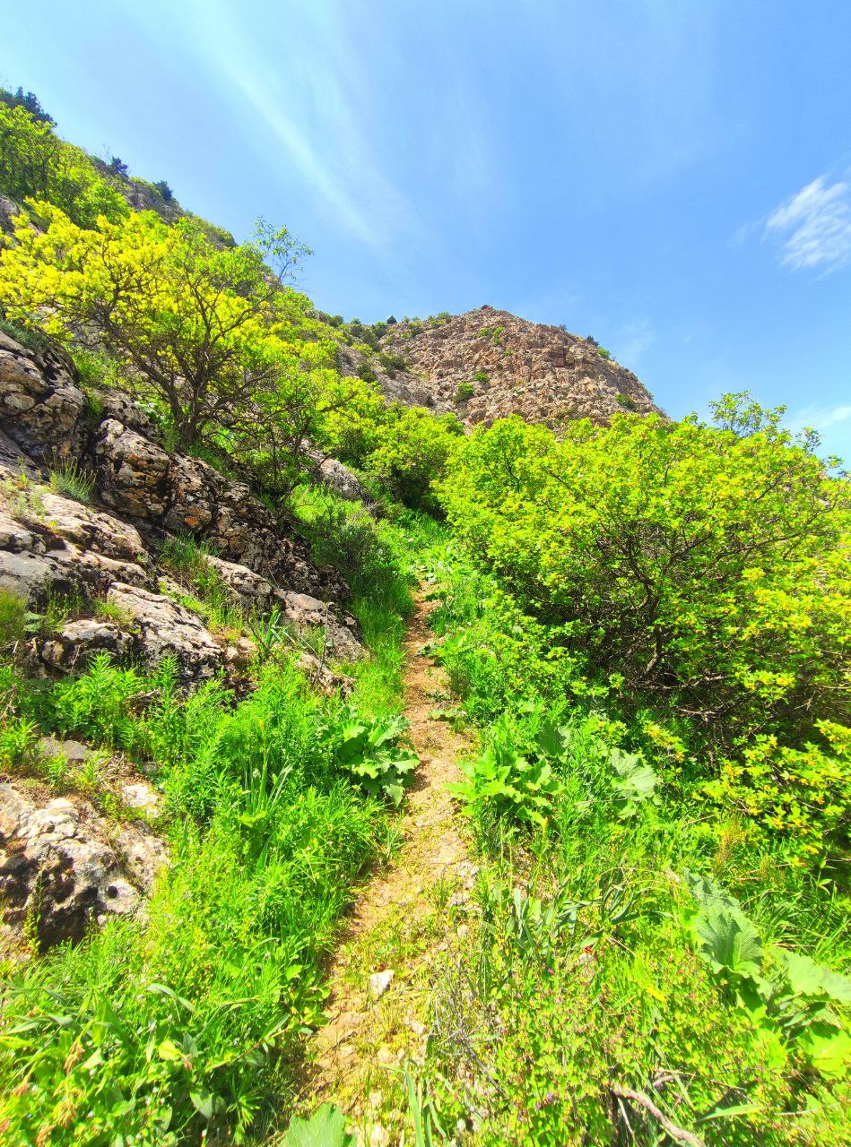
This was a steep path to the top of the mountain, and when we reached the top, the mountain was completely flat and flat, which is why this place and the peak were called Takht Sanbal. Unfortunately, the group stepped in this part. The view was very dreamy and a cool wind was blowing. I rested for 2 years and then we traveled back. The entrance to this valley was from the small village of Jabar, which was a very small village with a limited population.
I hope you have also felt the tenderness and virginity of the beautiful nature in this area and I have been able to convey to you the good feeling of climbing and reaching the top.
I wish you a good day. Goodbye until another tour.
Due to the small size of the village of Jabar, it was found in the map of Derungar region And this area has been mostly local.

text & photography by :@azamsohrabi

This post was shared and voted inside the discord by the curators team of discovery-it
Join our Community and follow our Curation Trail
Discovery-it is also a Witness, vote for us here
Delegate to us for passive income. Check our 80% fee-back Program
Travel Digest #2433.
Become part of our travel community:
- Join our Discord
Hiya, @ybanezkim26 here, just swinging by to let you know that this post made it into our Honorable Mentions in Your post has been manually curated by the @worldmappin team. If you like what we're doing, please drop by to check out all the rest of today's great posts and consider supporting other authors like yourself and us so we can keep the project going!!discovery 40
You can check out this post and your own profile on the map. Be part of the Worldmappin Community and join our Discord Channel to get in touch with other travelers, ask questions or just be updated on our latest features.
The views are stunning. Thanks for sharing.
Thank you dear friend. I'm glad you liked it and visited
I always love adventure
Very good, dear friend