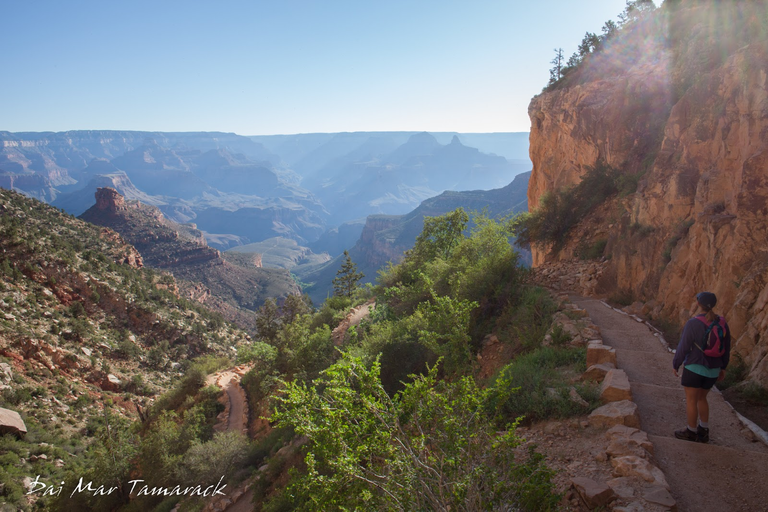
The Long Way Down
A lot of people come to stare off into the vastness of the Grand Canyon. Many venture down one of the trails leading deep towards the canyon floor. Most turn back after a mile or two, and some might even make it down to a solid turn around spot like Indian Gardens. Even though I knew I would be here for almost two weeks I knew I wouldn't have much time for really big hikes. So with one of my extreme team campers from Catalina I ignored all the signs warning against hiking from the rim to the river back up the rim in one day, and off we went.
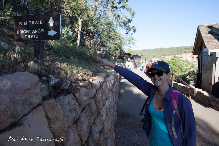
Bright Angel Trail Head
The Bright Angel trail is considered the premier hiking trail into the Grand Canyon. It starts on top of the South Rim in Grand Canyon Village, just behind the historic Bright Angel Lodge. Going from rim to river to rim is warned against for very good reasons. The total elevation change is around 9,000ft down and up over the span of 16 miles. You can find water along the way at different rest houses but there is a six mile stretch past Indian Garden down to the Colorado river and back where drinkable water is absent. It did not escape my notice that all the warning signs had a picture of a fit guy in his mid 20's and read, 'this is the kind of hiker we saved over 200 times.'
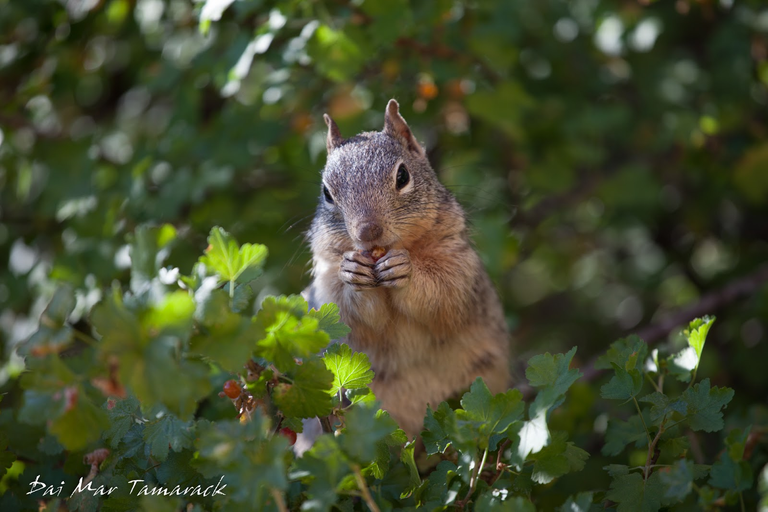
Most Dangerous Wildlife
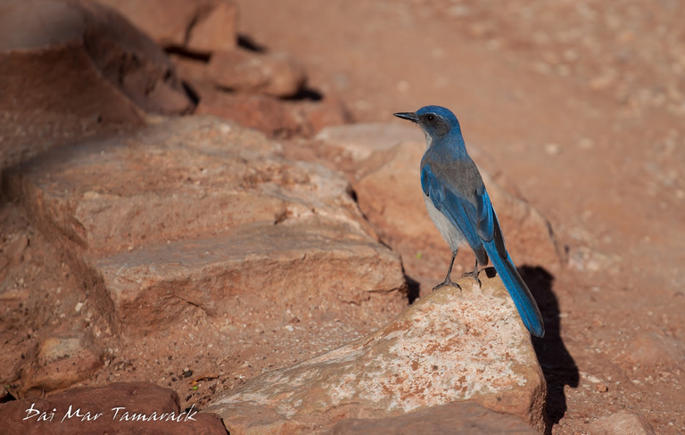
The temperature and dehydration can be the real dangers of this trail. Even if temperatures are in the upper 80's at the beginning of the trail (6860ft elevation), it can be well into the 100's at the bottom of the canyon (2480ft elevation). We made sure to bring plenty of water and sunscreen, although I did end up regretting the lack of a hat. The other big danger of the trail....animal attacks! Although the most common animal attack is a bite from a squirrel! Don't feed the squirrels.
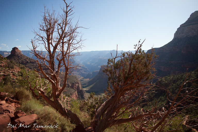
Still Going Down
The trail itself is a pretty consistent sloping grade. Going down is deceptively easy but after a few miles even that starts to wear on the muscles. But all you have to do is stop, whip out the camera, and soak in the incredible views. There is almost no way to take in the true scope of the canyon until you descend deep to the bottom of it. I can only imagine what the first adventurers to set eyes on the Grand Canyon must have thought.
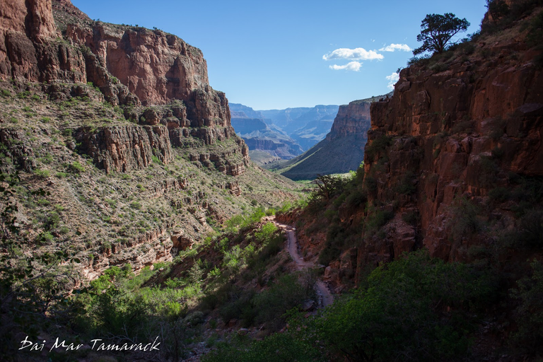
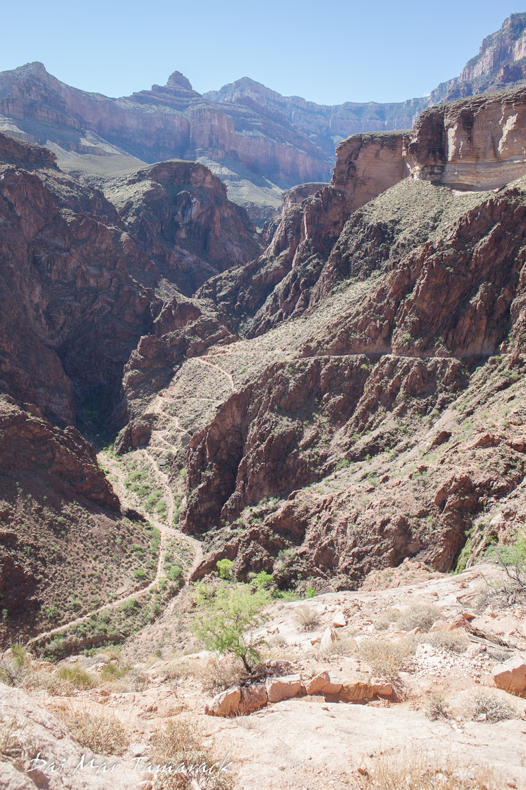
Beginning of the climb up
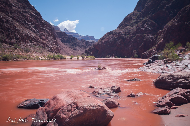
Made it! The Colorado River
After many water breaks and switchbacks we came to our destination, the might Colorado river. It was red with erosion from previous storms and very cold. There was a sign saying 'no swimming' but I had to go test the waters at least a little bit. It was most refreshing and a much needed revitalization for the long trek up still to come.
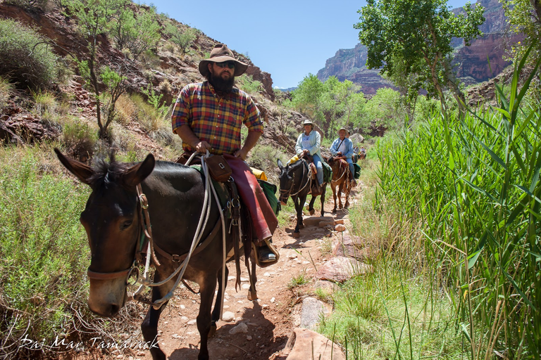
Mule Train
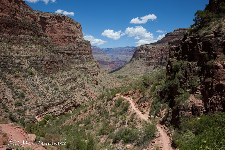
View down the canyon trail
The way back up is daunting all the way till the very end. You have to stop and soak in the views if for nothing else than to catch your breath. People still catch mule rides down and up on this trail and we came across a mule train as we approached the lush Indian Garden section. They are pretty mild mannered for mules so we just stepped off the trail and watched them pass a few feet from us. The Havasupai people originally used this trail to reach the fresh water springs at the lush section known now as Indian Garden.
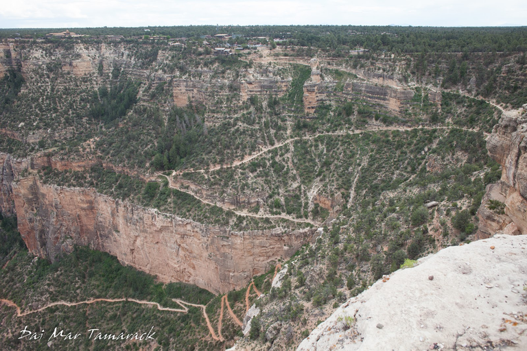
Overlook of the top of the Bright Angel Trail
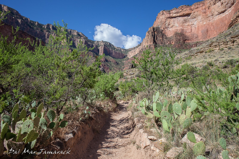
Near Indian Gardens
I saw many people on the trail who did get in over their heads and were having a very tough time climbing back out. But we didn't see anyone else doing the rim to rim hike like us. We set a torrid pace and finished up only 7.5 hours after we started. Afterwards we had to celebrate and reward ourselves with ice cream from the famous Fountain shop back on top of the rim. There are some pretty amazing hikes around the world but this has got to be top five. I can't think of any better to say welcome to the Grand Canyon.
Check out the map at pinmapple.com here: [//]:# (!pinmapple 36.09746 lat -112.09884 long Bright Angel Trail, Grand Canyon d3scr)
-Dai Mar
Congratulations, your post has been added to Pinmapple! 🎉🥳🍍
Did you know you have your own profile map?
And every post has their own map too!
Want to have your post on the map too?
Daily Travel Digest #1873.
Become part of our travel community:
- Join our Discord
- Learn more about our travel application
Hiya, @lizanomadsoul here, just swinging by to let you know that this post made it into our Honorable Mentions in Your post has been manually curated by the @pinmapple team. If you like what we're doing, please drop by to check out all the rest of today's great posts and consider supporting other authors like yourself and us so we can keep the project going!Grand Canyon is one of the most popular place in the world and it's great to see some other photographs of it. It's also nice to see wildlife there, I thought there's no animals in that place
Great post, Thanks for sharing
Thanks Silvia, and keep up the good work in Splinterlands... you are killing it!
Oh do you play splinterlands too? I saw most of your posts are related to pinmapple and photography stuffs
Oh yeah. I play daily but just for fun. Silver level. But I love traveling and photography and blogging. Its a win win. What do you enjoy outside of Splinterlands?
Nice, I am also participating in all silver level tournament regularly (both wild and modern). For ranked battle, I played manually at Gold league only when the brawl time comes. I have no budget to play for diamond and champion league, too costly for me, ha ha
I always make post weekly Pinmapple, because I love traveling and also Foodies Bee Hive because I like helping my mother in the kitchen. I make a blog about leofinance sometimes, and oh, right now I am learning about Black & White community, I want to make some regular post in that community.
Art is also the things that I am learning at the moment. That's a great skill that can make you lots of $$$.