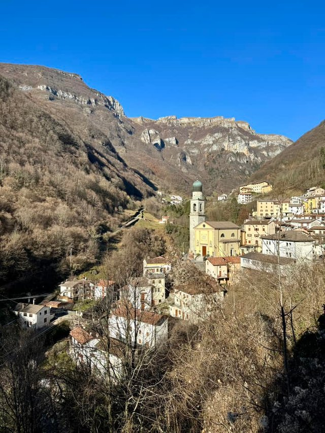
Hello friends, today I have the opportunity to share this post with you, and I want to talk about a hike I took a few days ago.
Those who know me well are aware that one of the things I love most in life is walking in nature. I always try to choose trails that are relatively untouched. One thing I often enjoy doing is hiking in the mountains, which also allows me to discover new places—a joy I like to share with people around the world.
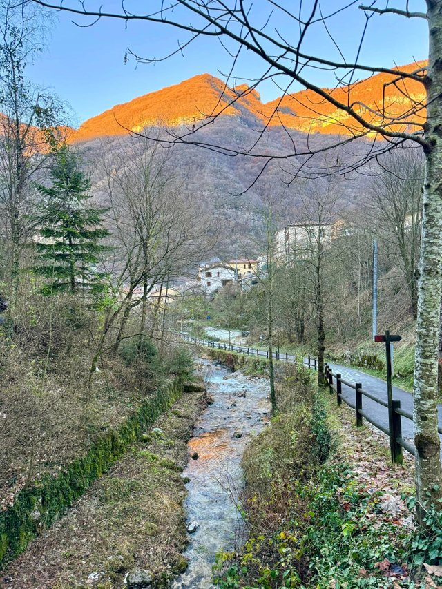
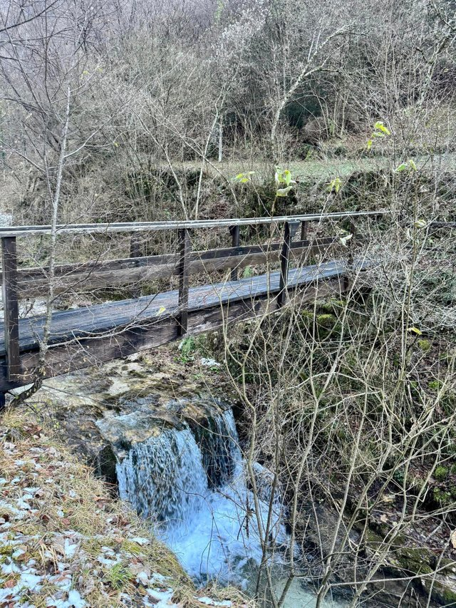
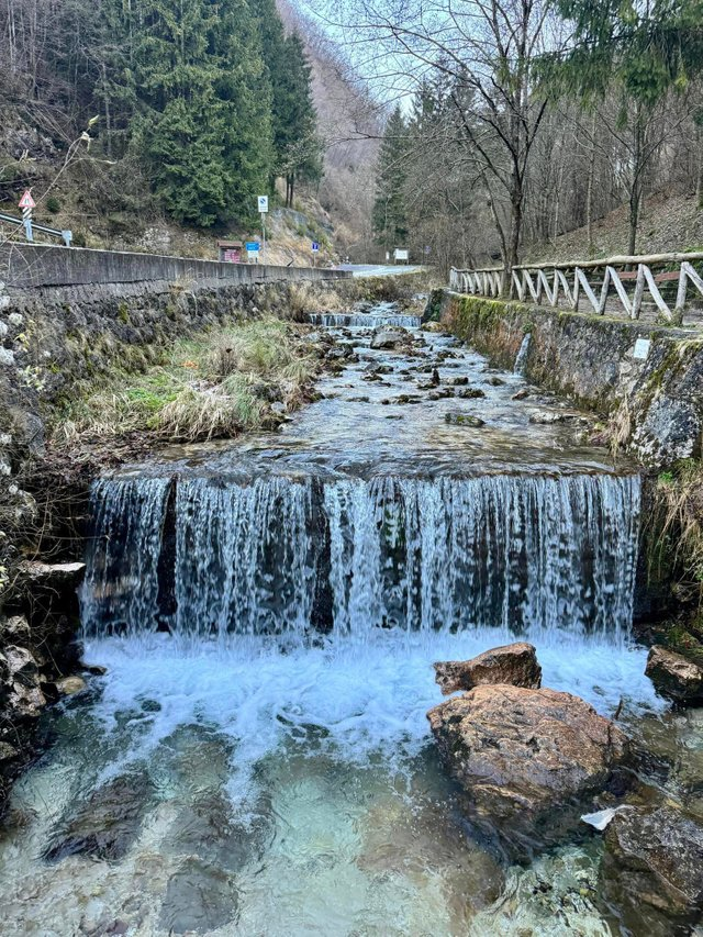
So today, I'd like to tell you about this small locality located in the province of Verona, under the municipality of Selva di Progno, called Giazza. I occasionally talk about it not only here but also on my YouTube channel. It is situated within the Lessinia Natural Park. As you can see from the photos I shared that day, I was fortunate because it was a beautiful day, and I walked approximately 7.5 km in about two hours. As you can see, this locality is nestled within a valley famous for its numerous trees and streams. The name "Giazza" in Italian likely means ice, possibly because temperatures in this area drop very low, especially since the sun is hardly ever present due to being hidden by the mountains.
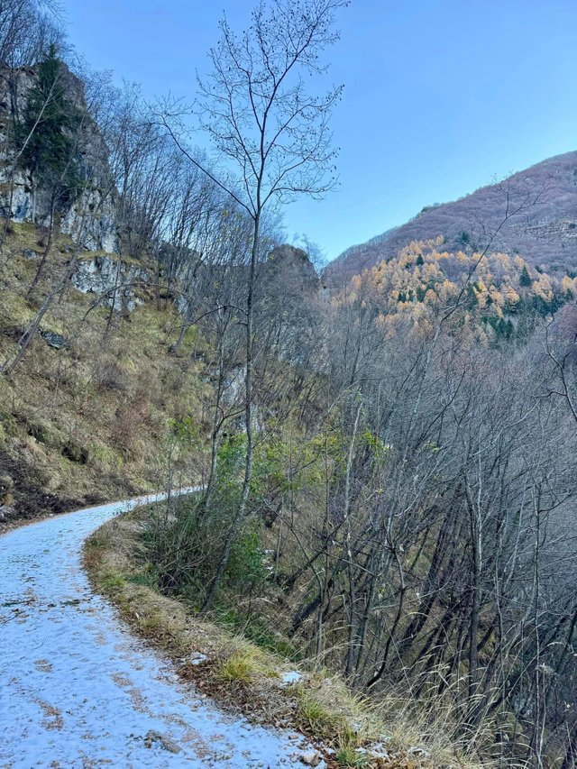
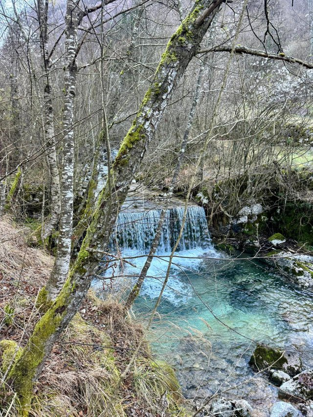
It had been a while since I last visited this area, and I usually come here in the summer. I chose to take this hike because there are beautiful trails here where you can explore these still unspoiled woods. Additionally, I usually come on weekdays, so there's hardly anyone around, unlike on weekends or Sundays when it can get chaotic due to being a popular tourist destination.
Interestingly, this place has been recognized as a linguistic minority dating back many years, speaking the Cimbrian language. Most likely, Germanic peoples settled in this small village, and to this day, this ancient German dialect is spoken here. Some even teach it to pass on this tradition.
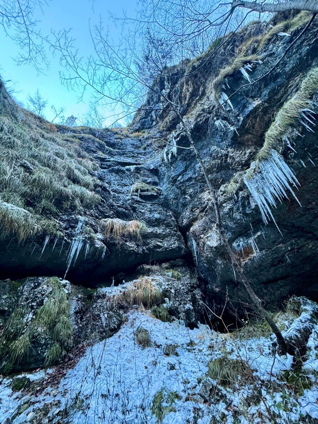
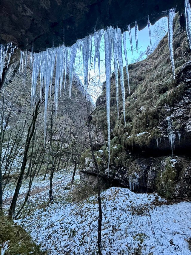
Returning to my hike, it was delightful because the streams were in full flow, thanks to significant snowfall on the nearby mountains a few days earlier. Along the way, I found numerous fountains where I could drink the fresh and potable water. At some points, and as seen in the photos, there was still ice, and small stalactites had formed, probably during nights when temperatures dropped below freezing—a common occurrence in these parts, although lately, especially during the day, it's not as cold as it used to be. Unfortunately, it's probably due to climate change.
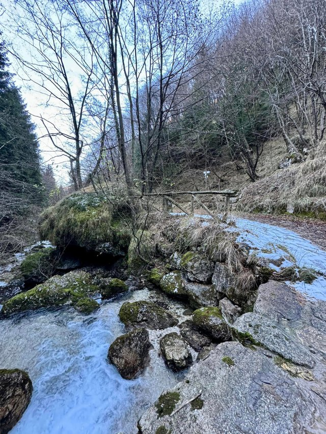
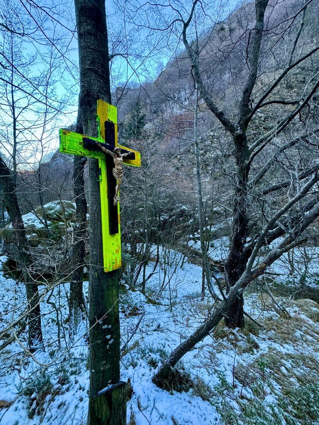
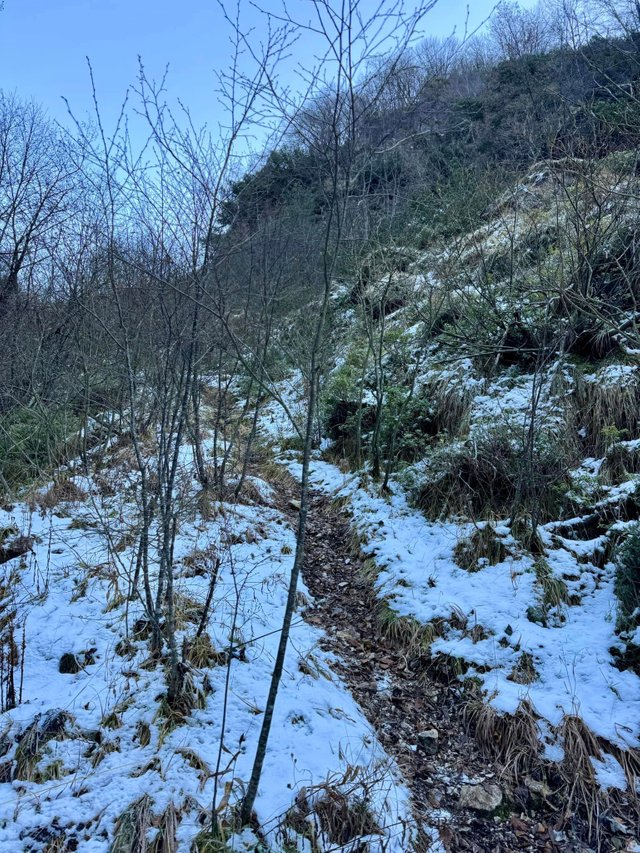
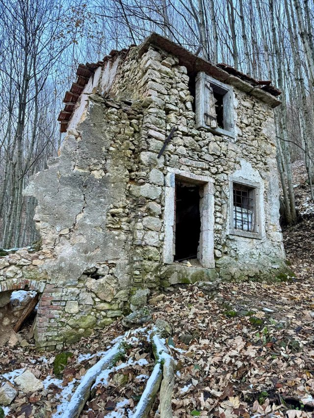
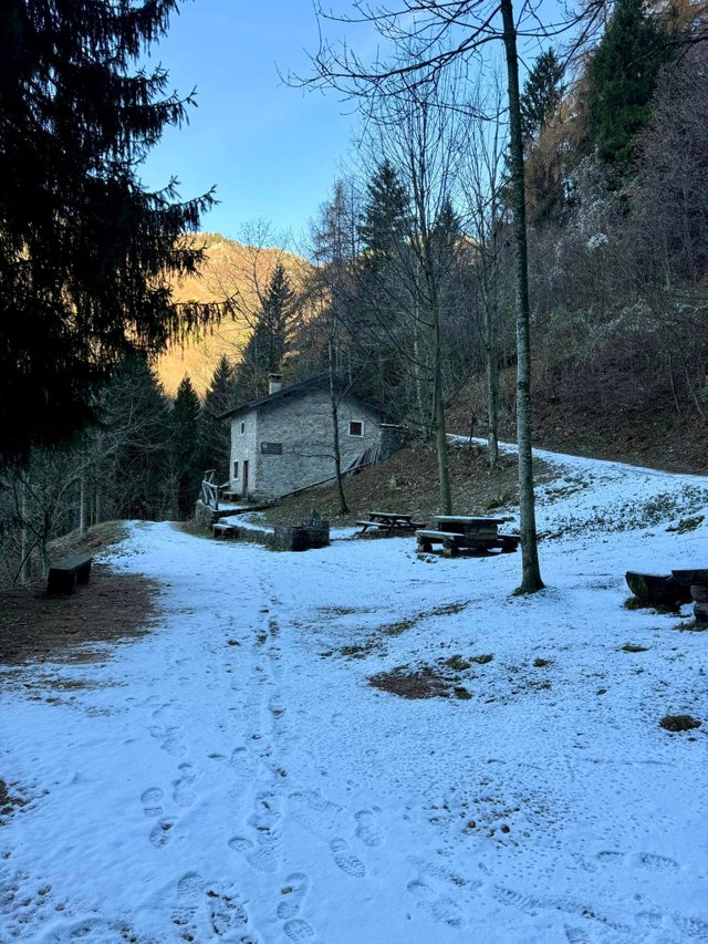
Continuing the hike, I also found some snow, although it was minimal compared to snowfall in the past. Attached to a tree, I even found a crucifix—put there by someone, the origin unknown. Continuing my walk, I reached a small refuge mostly used in the summer, but it was closed. Along the way, I saw many dilapidated houses abandoned over the years, probably once used as barns and inhabited by local shepherds. However, pastoralism is no longer practiced in these parts.
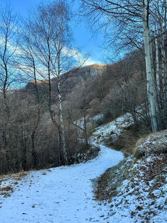
I hope you enjoyed the photos I shared and my virtual journey. See you in my next post, soon!
Congratulations, your post has been added to Pinmapple! 🎉🥳🍍
Did you know you have your own profile map?
And every post has their own map too!
Want to have your post on the map too?