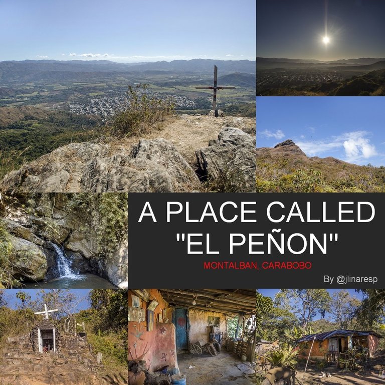
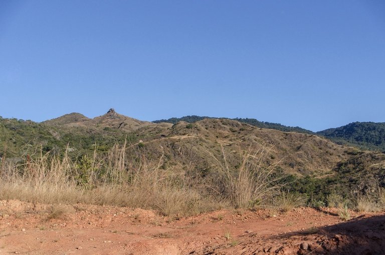
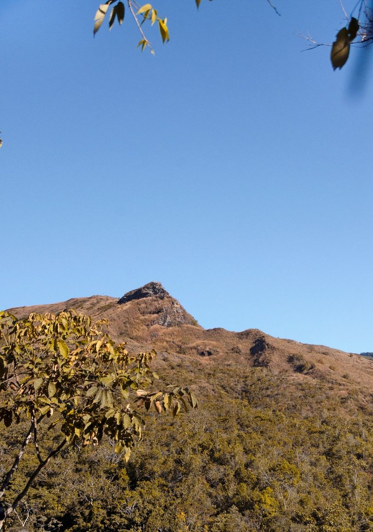
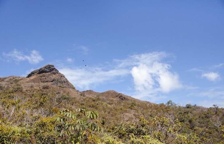
From anywhere in the urban area of the town of Montalbán, you can look east and see the mountains surrounding the valley and there, at one of the highest points, you will appreciate the silhouette of a huge rock formation called since the founding times of the town as “El Peñon”... A local poet used to refer to that stone with elegance, calling it “Our daily totem” and I like to call it that way too... This publication is based on my experience and photographs taken by me along the 4.5 kilometers of roads and trails which you have to walk from the urban edge of Montalbán until you reach the top of this fantastic natural viewpoint from where the valley is completely dominated... So please, go ahead and enjoy this hike together with me...
Desde cualquier lugar del casco urbano del pueblo de Montalbán, usted puede mirar hacia el este y ver las montañas que rodean el valle y allí, en uno delos puntos más altos, apreciará la silueta de una enorme formación rocosa llamada desde los tiempos de fundación del pueblo como "El Peñón"... Un poeta local se refería a esa piedra con elegancia, llamándole "Nuestro totem cotidiano" y a mi me gusta también llamarle así... Esta publicación está basada en mi experiencia y fotografías hechas por mi a lo lardo de los 4,5 kilómetros de carreteras y senderos que hay que recorrer desde el borde urbano de Montalbán hasta llegar a la cima de ese fantástico mirador natural desde donde se domina el valle por completo... Así que por favor, sigan adelante y disfruten de este recorrido junto conmigo...
I left my house at about 6:30 AM and about 20 minutes later I was already at the foot of the hills and just at the beginning of the dirt road that goes up to “El Peñon”...
Salí de mi casa a eso de las 6:30 AM y unos 20 minutos después ya me encontraba al pie de las colinas y justo al comienzo del camino de tierra que asciende hacia "El Peñón"...
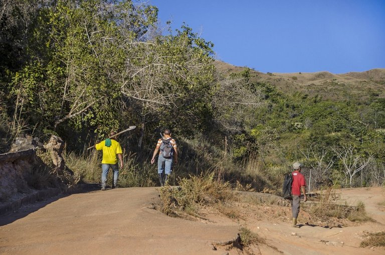
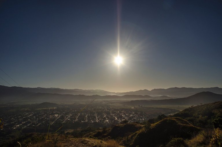
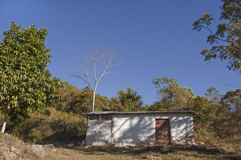

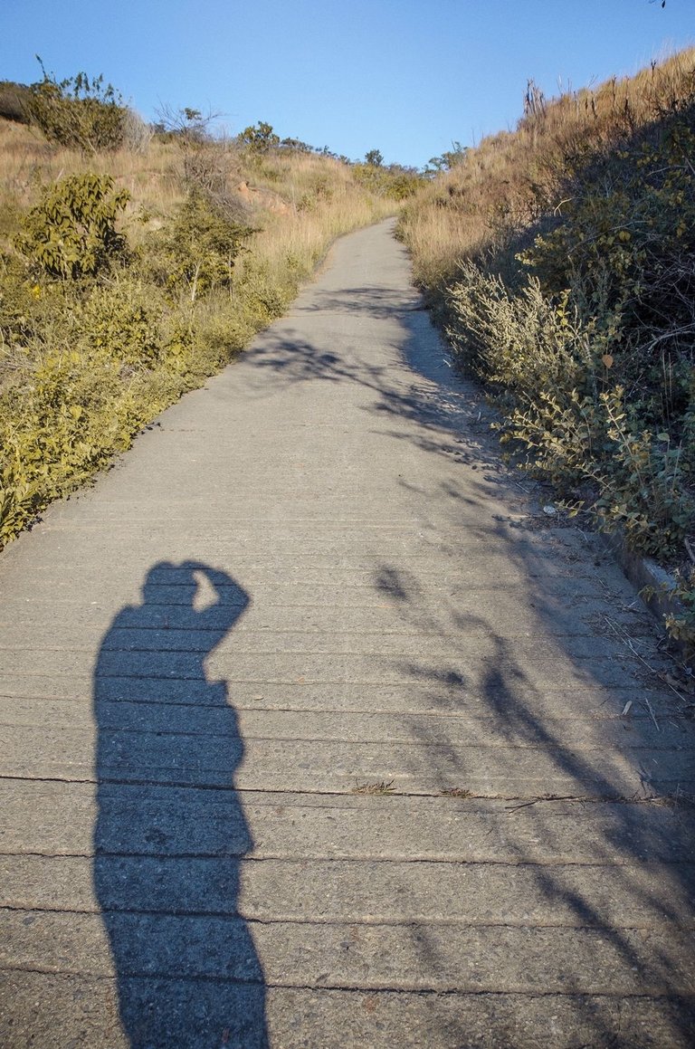
I climbed up the road as fast as possible, trying to take advantage of the cool morning air. However, a beautifully blue sky with very few clouds predicted a rapid rise in temperature as soon as the sun was a little higher. So from a balmy 16°C at 7:00 AM, the temperature by 9:00 AM had passed 30°C and would surely continue to rise. The first two thirds of this route corresponds to the road on which I usually try to exercise since a few weeks ago and whose photos and experience I have already shared in other posts that you can find on my blog here at #Hive... However, every now and then I stopped to take some pictures and recover my strength in certain points of the road suitable for it. Also, I ran into some friends who were going up the mountain to work on their land and chatted with them for a while... This place can technically be considered as a “hamlet” because there are houses and working lands only a few hundred meters away from each other...
Ascendí por el camino tan rápido como me fue posible, procurando aprovechar el aire fresco de la mañana. Sin embargo, un cielo hermosamente azul y con muy pocas nubes, predecían un rápido aumento de la temperatura apenas el sol estuviese un poco más alto. Así que de los agradables 16°C a las 7:00 AM, ya la temperatura a las 9:00 AM había sobre pasado los 30°C y seguiría aumentando seguramente. Los dos primeros tercios de este recorrido corresponden al camino en el cual usualmente procuro ejercitarme desde hace pocas semanas y cuyas fotos y experiencia ya en compartido en otras publicaciones que pueden encontrar en mi blog aquí en #Hive... Sin embargo, cada tanto me detuve a hacer algunas fotos y recuperar mis fuerzas en ciertos puntos del camino adecuados para ello. Además,me encontré con algunos amigos que iban montaña arriba a trabajar en sus tierras y charlé con ellos durante algún rato... Este lugar técnicamente puede considerarse como "un caserío" pues hay casas y tierras de trabajo alejadas entre sí por apenas unos centenares de metros...
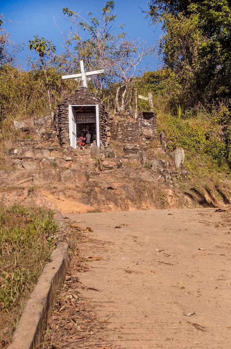
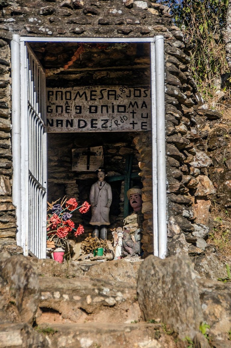
After a little more than three kilometers on the main dirt road, one comes across a small stone chapel which was erected in honor of a doctor named “José Gregorio Hernández” who is revered by many people in Venezuela. At this point the road forks and to the right there is a path (which can also pass a four-wheel drive vehicle) which is basically the entrance to “El Peñon” since practically the entire hamlet and set of peasant settlements around the huge rock, are named after it as a whole. Even the people who live there have organized themselves under the name of “El Peñón Community”, so it can be said that it has been established as the official name of the place...
Después de poco más de tres kilómetros por la carretera de tierra principal, uno se topa con una pequeña capilla de piedra la cual fue erigida en honor a un médico llamado "José Gregorio Hernández" el cual es venerado por muchos en Venezuela. En este punto del camino se bifurca y a la derecha hay un sendero (por el cual también puede pasar un vehículo de cuatro ruedas) el cual es básicamente la entrada a "El Peñón" ya que prácticamente todo el caserío y conjunto de asentamientos campesinos alrededor de la enorme roca, reciben ese mismo nombre en conjunto. Incluso las personas que viven allí se han organizado bajo el nombre de "Comunidad El Peñón", así que se puede decir que se ha establecido como el nombre oficial del lugar...
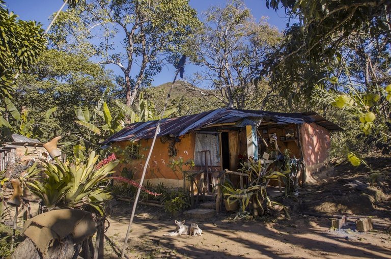
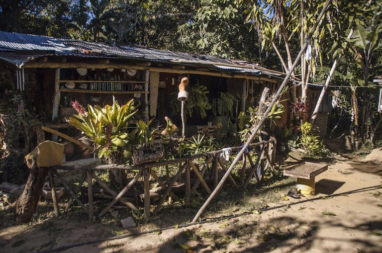
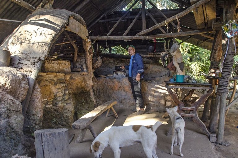
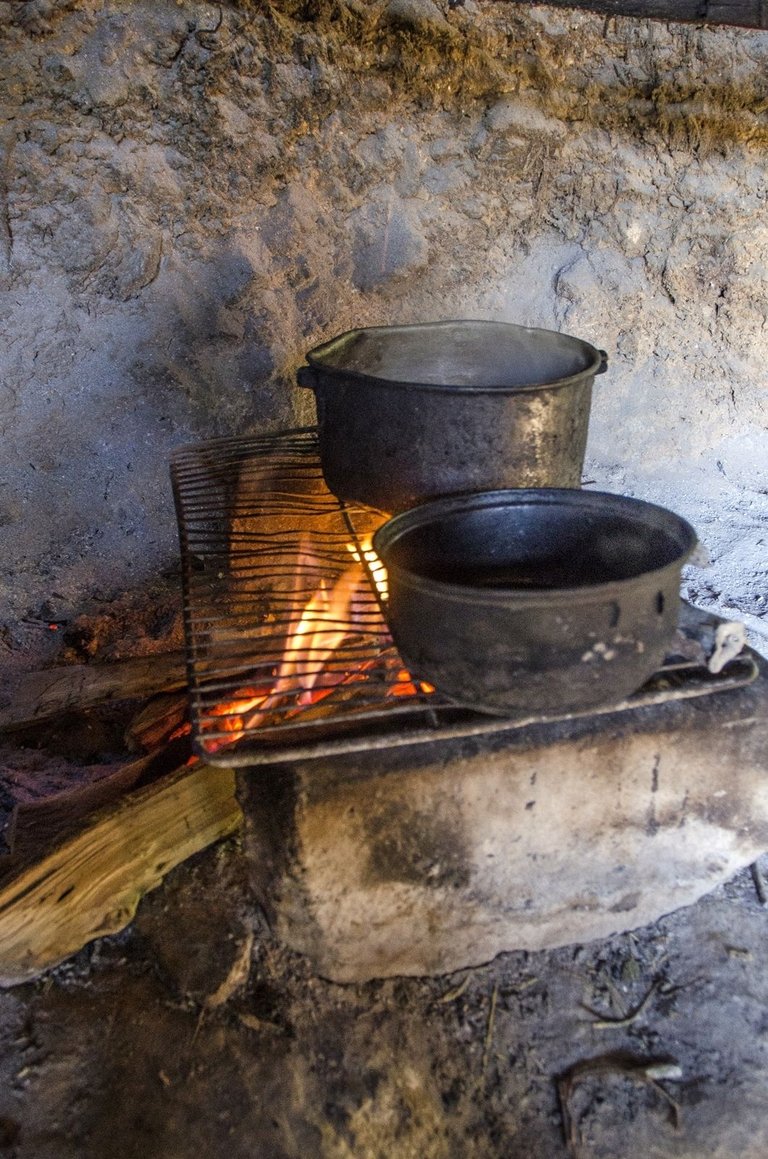
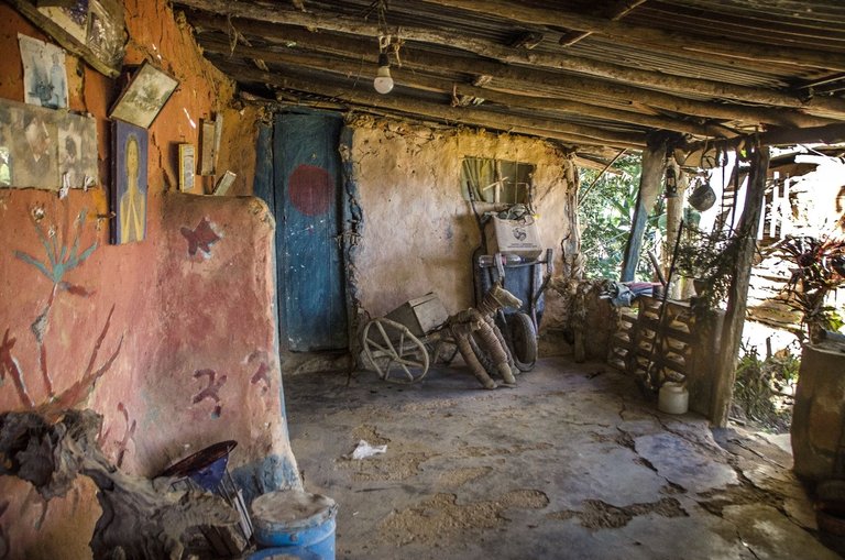
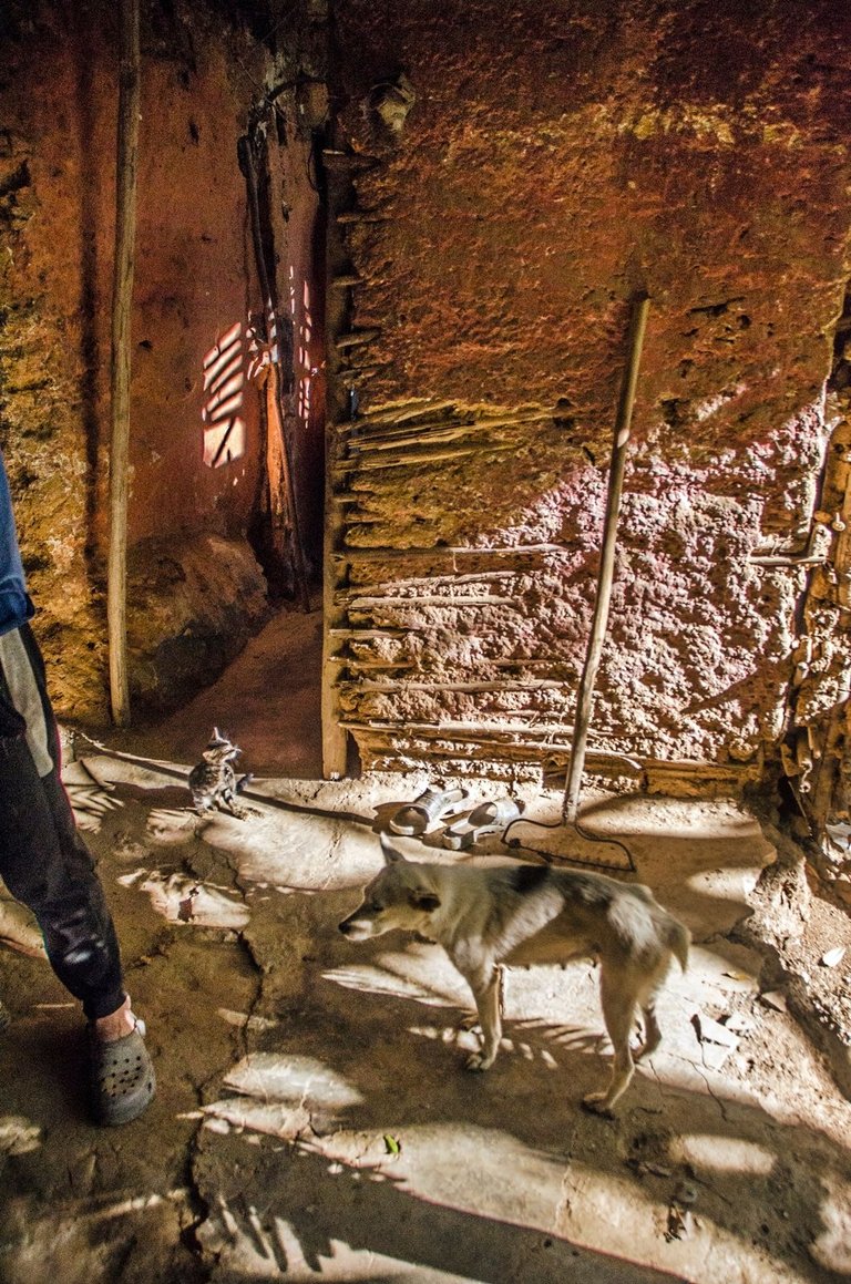
A few meters from where the road forks, is the house of my friend “Domingo Machado”... Domingo's house is something like a “chaotic thematic park” where you can experience first hand the way life was lived in these mountains in the middle of the last century. In addition, Domingo is a poet, sculptor, planter, and guardian of nature (in his own words), so talking with Domingo is an absolute hygiene for the soul and mind. Not to mention that Domingo makes excellent coffee (grown and harvested on his own land) and always has a snack to give to anyone who visits him. His dogs don't bite and you can walk around the house and the whole property without any objections from Domingo... I took a lot of pictures in this charming mountain refuge and would like to stay much longer there... But from the backyard of Domingo's house I could see the huge watchtower of “El Peñon” and that reminded me that this was my goal for the day. So I said goodbye to Domingo and set out to walk the one kilometer uphill stretch that still separated me from the lookout point...
A pocos metros de donde se bifurca el camino, está la casa de mi amigo "Domingo Machado"... La Casa de Domingo es algo así como un "caótico parque temático" en donde usted podrá experimentar de primera mano la manera en la que se vivía en estas montañas a mediados del siglo pasado. Además, Domingo es poeta, escultor, sembrador, y guardián de la naturaleza (en sus propias palabras), entonces hablar con Domingo es un absoluto higiene para el alma y la mente. Esto sin contar con que Domingo hace un excelente café (sembrado y colectado en sus propias tierras) y siempre tiene un bocadillo para regalar a todo aquel quien lo visita. Sus perros no muerden uno puede recorrer la casa y toda la propiedad sin que Domingo ponga objeciones... Hice un montón de fotos en este encantador refugio en la montaña y mehibuera gustado estar mucho tiempo más allí... Pero desde el patio de la casa de Domingo se veía imponente la enorme atalaya de "El Peñón" y eso me hizo recordar que ese era mi objetivo del día. Así que me despedí de Domingo y me dispuse a recorrer el trecho de un kilómetro en ascenso que aún me separaba del mirador...
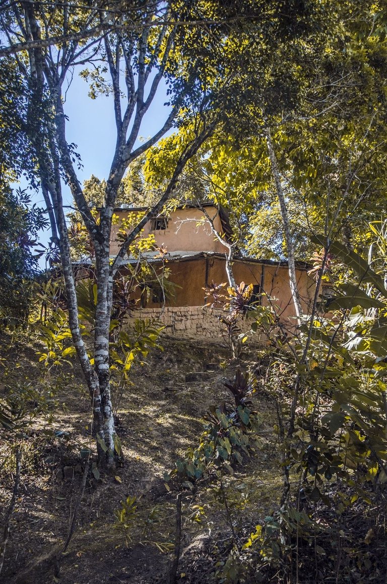
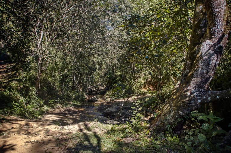
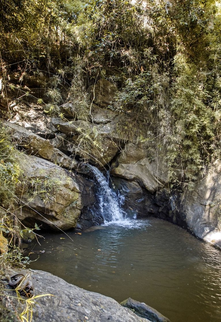
Around Domingo's house there are some other houses, but they were empty the day I was doing this tour... Also just before starting to ascend, you cross a small stream which is surrounded by a dense gallery forest. This stream, more like a small river you could say, also has some small waterfalls that create water pools where people usually come to bathe on weekends...
Al rededor de la casa de Domingo hay algunas otras casas, pero estas estaban vacías el día que estuve haciendo este recorrido... También justo antes de comenzar a ascender, se atraviesa un pequeño arrollo el cual está rodeado de un denso bosque de galería. Este arrollo, más bien un pequeño río podría decirse, también hay algunos pequeños saltos de agua que dan lugar a pozos en donde las personas suelen venir a bañarse los fines de semana...
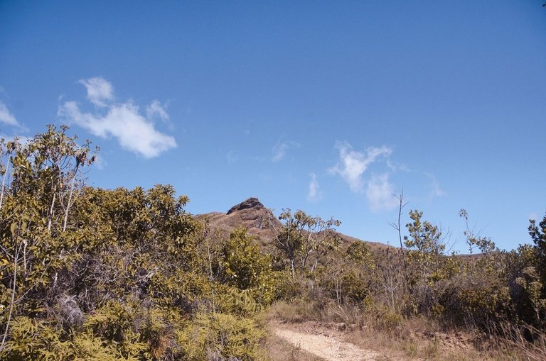
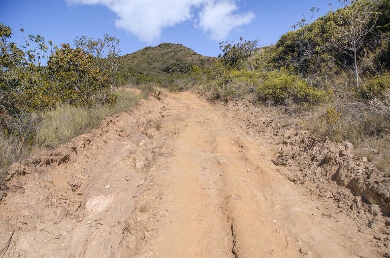
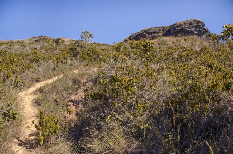
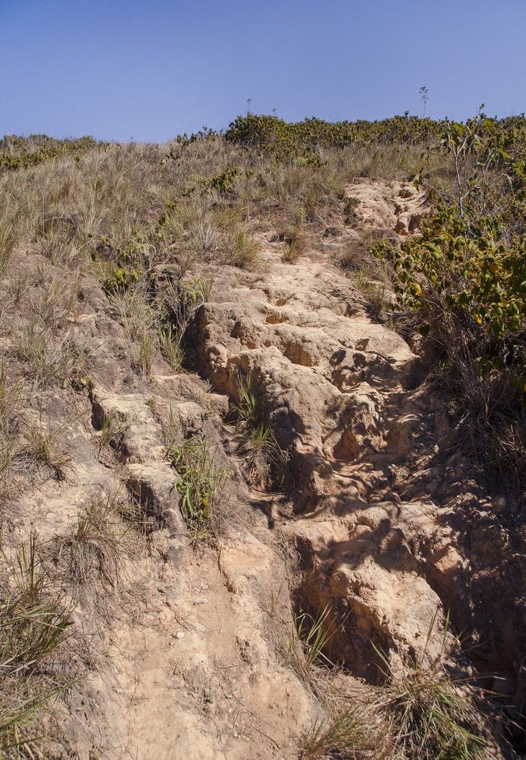
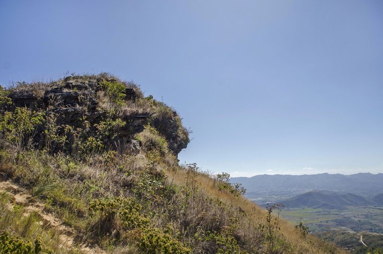
After passing the narrow stream and leaving behind the surrounding forest, you arrive back to the dirt road which is still wide enough to pass in a 4x4 vehicle. This last stretch of ascent is a little more than a kilometer as I said before, but the last 200 meters or so, the wide road becomes a very narrow and steep path, and in the last 20 or 30 meters there is only a kind of “almost vertical steps of hardened mud” in front of which I was about to scream and turn back without reaching the top. But I hadn't come this far to let myself be defeated by this last obstacle, so I gathered my courage and climbed those steps using my hands and feet and I think praying too :)... But one thing is for sure, reaching the top of the viewpoint more than compensates for all the effort...
Después de pasar el angosto arrollo y dejar atrás el bosque que lo rodea, se llega de nuevo al camino de tierra el cual sigue siendo lo suficientemente ancho como para pasar en un vehículo 4x4. Este ultimo tramo de ascenso es de poco más de un kilómetro como dije antes, pero el los últimos 200 metros aproximadamente, el camino ancho se transforma en un sendero muy angosto y empinado, y en los últimos 20 o 30 metros hay solo una especie de "escalones casi verticales de barro endurecido" frente a los cuales estuve a punto de gritar y devolverme sin llegar a la cima. Pero no había llego hasta aquí para dejarme vencer por este ultimo obstáculo, así que reuní ánimos y subí aquellos escalones a gatas y creo que rezando también :)... Pero algo es seguro, llegar a la cima del mirador compensa con creces todo el esfuerzo realizado...
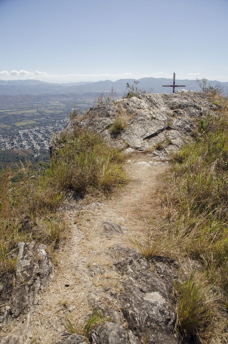
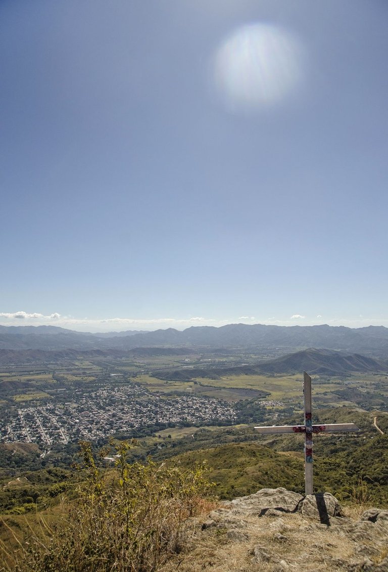
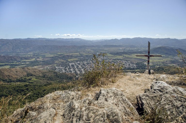
The viewpoint is at about 1,250 m.a.s.l. and the town center is at 660 m.a.s.l. so it dominates the valley perfectly and it can be said that this is one of the best views from the Montalbán mountains...
El mirador está a unos 1.250 m.s.n.m y el casco urbano del pueblo está a 660 m.s.n.m. así que se domina el valle perfectamente y se puede decir que esta es una de las mejores vistas desde las montañas de Montalbán...
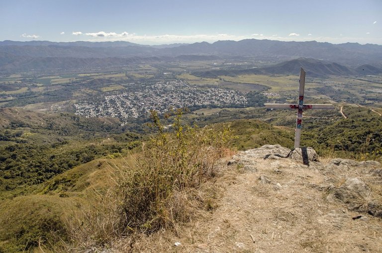
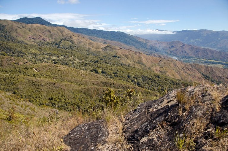
I reached the top at around noon and, to be honest, I was amazed by the spectacular view of the landscape of the valley and the surrounding mountains from this place. I did my best to deal with the dizziness sensation and got behind the iron cross that is placed right on the narrow top (the width is about 4 meters I estimate, with ravines of several tens of meters in front and on the sides, so you have to be very careful walking there to avoid falling).... I took a lot of pictures while I was catching my breath and a strong wind made me feel very fresh and lively... About 40 minutes later, I started to descend the same way I came...
Llegué a la cima en horas cercanas al mediodía y, para ser sinceros, quedé sorprendido gracias a la espectacularidad de la vista del paisaje del valle y las montañas alrededor desde este lugar. Hice mi mejor esfuerzo para lidiar con la sensación de vértigo y situarme detrás de la cruz de hierro que está colocada justo en la angosta cima (la anchura es de unos 4 metros según calculo, con barrancos de varias decenas de metros al frente y a los lados, así que hay que tener mucho cuidado caminando por allí para evitar caer)... Hice un montón de fotos mientras recuperaba mi aliento y un viento intenso me hacía sentir muy fresco y animado... Unos 40 minutos después, comencé a descender por el mismo camino por donde vine...
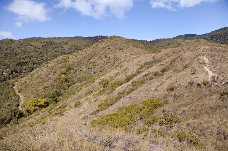
To the west there are even higher places, like the mountain called “La Copa” which is according to the maps, at 1.810 m.a.s.l. and is confirmed as the highest point in Montalbán, so I still have much more to explore and show you here in #Hive ahead, while I gradually recover my physical capacity to wander around these mountains as I did in my younger days... ;)
Al oeste hay lugares aún más altos, como el cerro "La Copa" el cual está según los mapas, a 1.810 m.s.n.m. y está confirmado como el punto más alto en Montalbán, así que tengo aún mucho más para explorar y mostrar a ustedes aquí en #Hive por delante, mientras recupero paulatinamente mi capacidad física para deambular por estas montañas como lo hacía en mis tiempos de juventud... ;)
Thank you very much for your visit and appreciation on my work!
Muchas gracias por pasar y apreciar my trabajo!
ADDITIONAL TECHNICAL NOTE: Photographs captured with my Nikon D7000 DSLR camera in RAW format, then processed in Adobe Camera RAW for adjustments regarding light, sharpening, contrast and depth... They were then exported to JGP format on which minor modifications such as straightening and adding watermarks were carried out using PhotoScape 3.6.3.
NOTA TÉCNICA ADICIONAL: Fotografias capturadas con mi cámara DSLR Nikon D7000 en formato RAW, procesadas posteriormente en Adobe Camera RAW para ajustes relativos a luz, afilado, contraste y profundidad... Luego fueron exportadas a formato JGP sobre el cual se llevaron a cabo modificaciones menores como enderezado y agregado de marcas de agua usando PhotoScape 3.6.3.
"We make photographs to understand what our lives mean to ourselves." - Ralph Hattersley.
"Hacemos fotografías para comprender lo que nuestras vidas significan para nosotros mismos." - Ralph Hattersley.

Lens: Sigma 18-200mm f3.5-6.3 II DC OS HSM
Lente: Sigma 18-200mm f3.5-6.3 II DC OS HSM
You can check out this post and your own profile on the map. Be part of the Worldmappin Community and join our Discord Channel to get in touch with other travelers, ask questions or just be updated on our latest features.
Very interesting picture
!discovery 40
Thanks a lot @idayrus friend and @discovery-it team!!!
!PIZZA
Wao my friend @jlinaresp what beautiful photos, the view from the top of the rock is breathtaking, also that stream looks exquisite for a refreshing swim. I loved reading about all that great tour, greetings and nice day 💐🌻🤗
Thank you very much for appreciating my post, @mayramalu friend!... I'm glad you liked it! ;)
!PIZZA
a very nice view from up there and the puddle for bathing as we say here is great, good photos, a very quiet place to relax.
This post was shared and voted inside the discord by the curators team of discovery-it
Join our Community and follow our Curation Trail
Discovery-it is also a Witness, vote for us here
Delegate to us for passive income. Check our 80% fee-back Program
WOw, mi pana, tremenda excursión que te lanzaste, esa primera foto parece de película, de esas gringas donde se ve desde el risco, la ciudad a lo lejos, está genial, esa montaña Montalbán tiene sus encantos, y te felicito por eso.
:) Gtracias @lanzjoseg por el apoyo y el aprecio. Sí, la vista desde lo alto del mirador es impresionante. Ciertamente es un privilegio tener estos espacios cerca...
!PIZZA
How interesting my brother, I immersed myself in the publication that I almost traveled to the place, I love it. And the pictures are very good, here in Cuba we also have a Rock, and some unique places.
:) Thank you @muhammadhalim friend for reading my work and appreciating it, also for this motivating comment!...
!PIZZA
Realmente, me gustaron mucho.
Feliz martes.Saludos @jlinaresp, están excelente las fotos de hoy, me gustaron mucho,la del atardecer, la de la promesa a José Gregorio Hernández y la de la cabaña, o casa rural que esta en la última parte de las fotos.
!LUV
!ALIVE
Wow, it is a very amazing and very great place. The weather of the place is beautiful, the view of yourself and the surroundings from the mountains with the touch of blue sky and the natural beauty is very beautiful. Best wishes.
Good afternoon my brother
Of course it is a very beautiful place, you managed to capture the beauty of the place very well, I love the natural beauty.