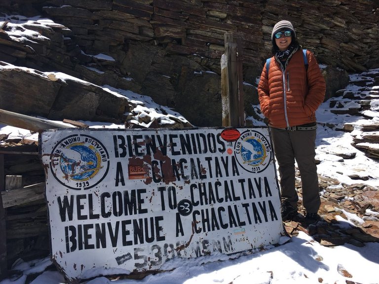
After we had reached La Paz and had checked out the city going to the highest point there with the cable cars at 4100 meters, we wanted to fly a little higher. We knew that there were many Peaks to climb around and had gotten used to the altitude, so we decided to check out the Chacaltaya Mountain.
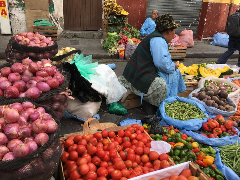
It was a Saturday and we woke up quite early to go to the bus station, where we would start. The whole street was blocked on the Saturday market and locals were selling different things there: Fruits, vegetables, clothes, souvenirs, etc.
So our morning started early. Only 40 km from La Paz, the Chacaltaya is nestled between the peaks of the Huayna Potosí and the Illimani and is part of the Bolivian Cordillera Real (Royal Cordillera).
Boarding the minibus, we were taken out of the valley basin from La Paz to El Alto. The many poorer immigrants from the countryside who seek their fortune in the city live here.
The locals say the higher, the poorer. El Alto is now the second largest city in Bolivia, after Santa Cruz and ahead of La Paz. Another superlative: El Alto also has the highest international airport in the world. Driving up there further up, spectacular views of La Paz opened up below us.
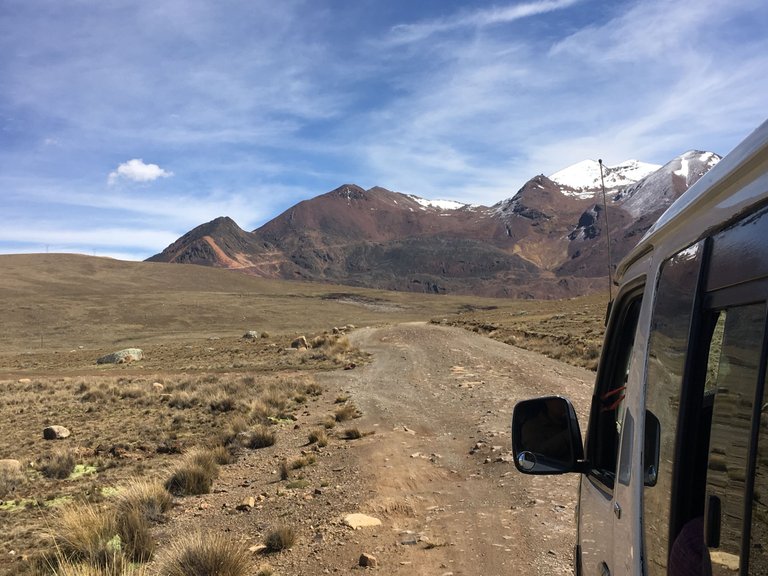
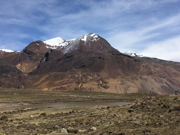
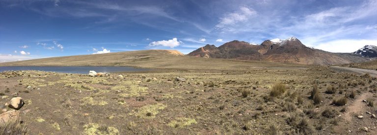
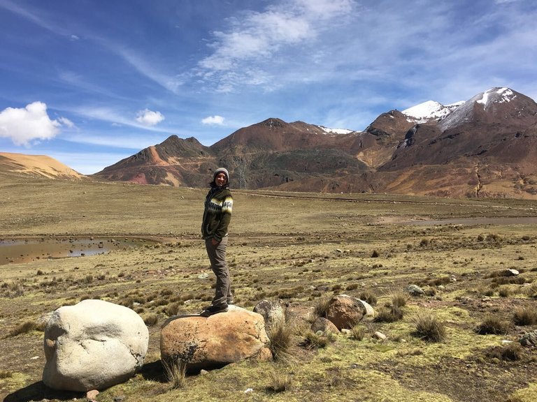
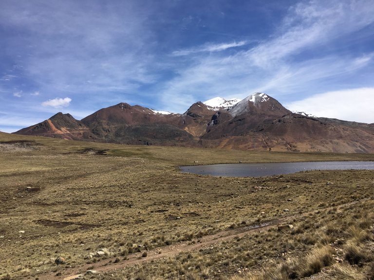
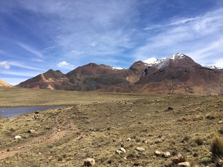
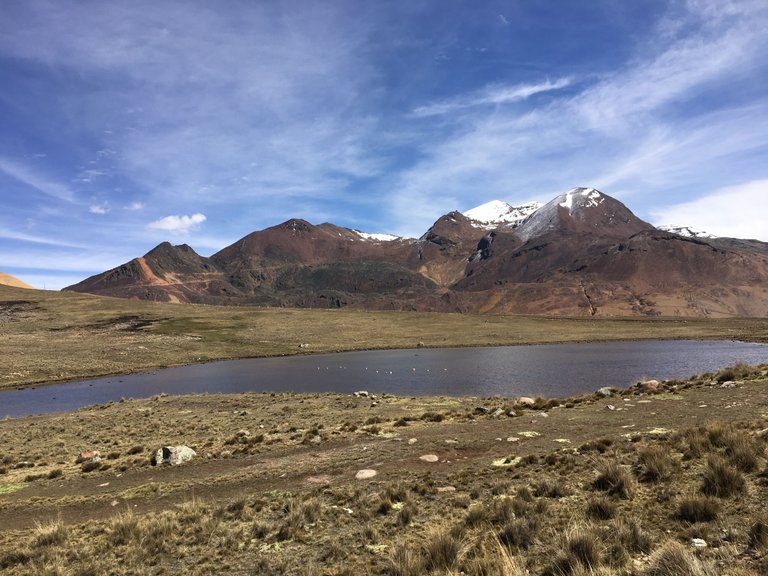
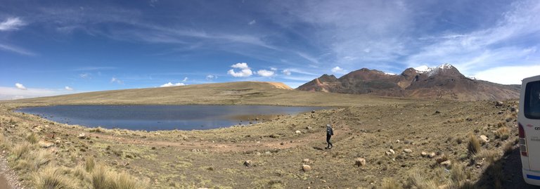
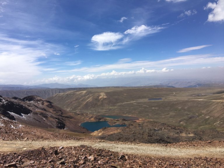
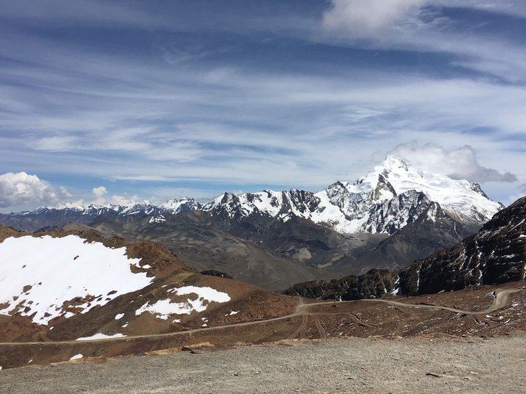
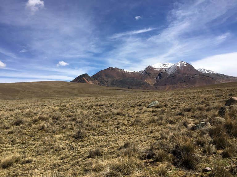
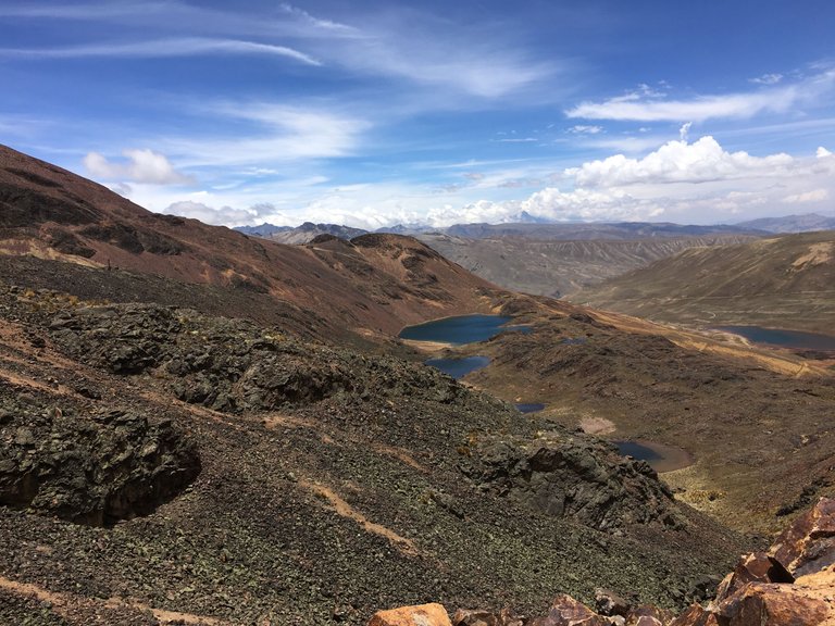
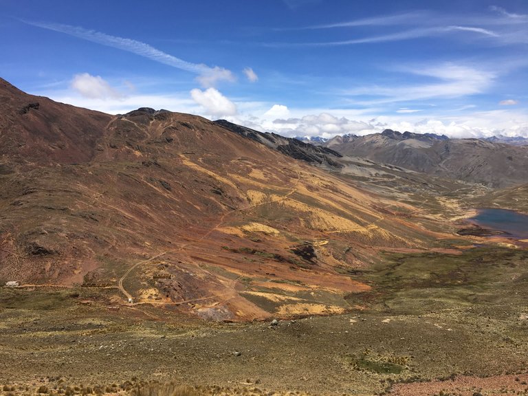
Then, we left the tarmac road behind us and turned onto a gravel track, the vegetation became increasingly sparse. A herd of llamas in the Altiplano posed for the photo stop of the day. In the background, we already saw the Huayna Potosí with its height of around 6,100 meters and a shimmering blue mountain lake. Here we took a break to walk around and enjoy the view.
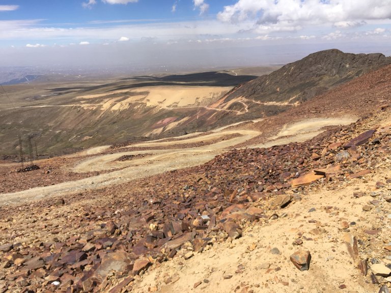
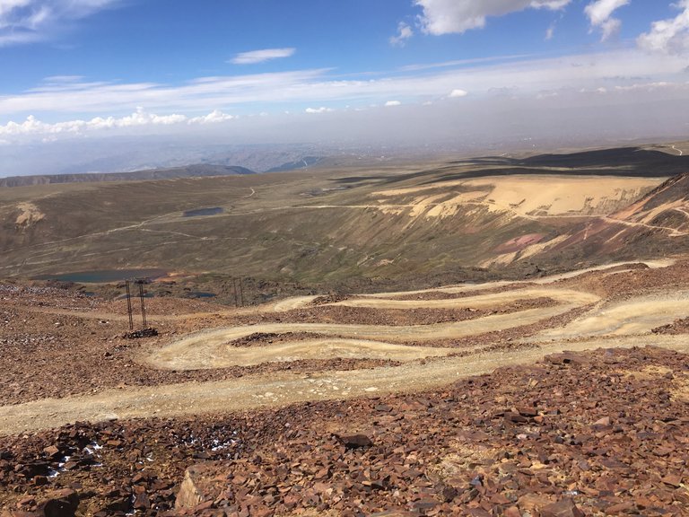
The "cold path" winded its way up the Chacaltaya in serpentines. When we reached the top, a cold wind whistled around our noses as we got out of the car again.
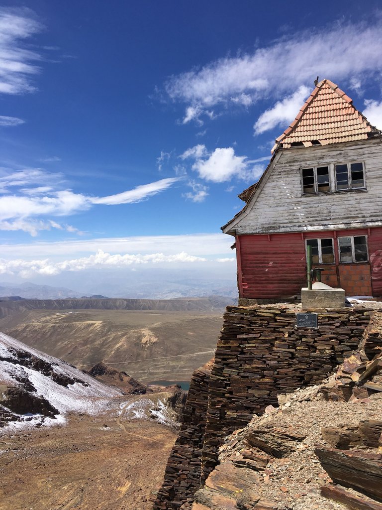
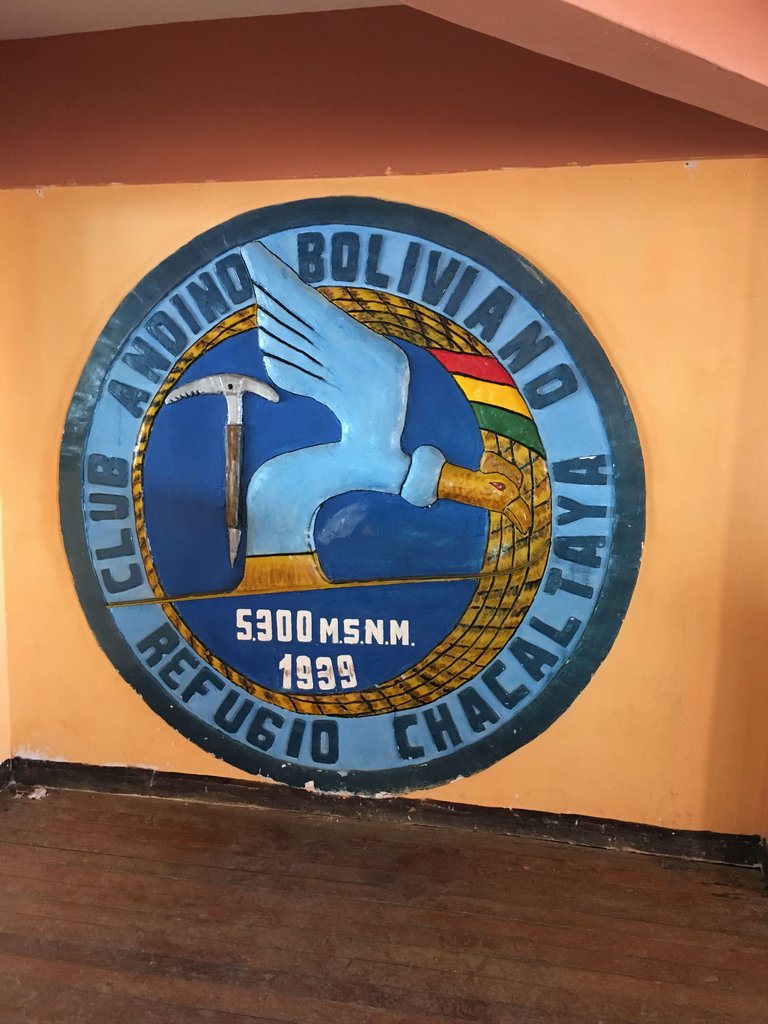
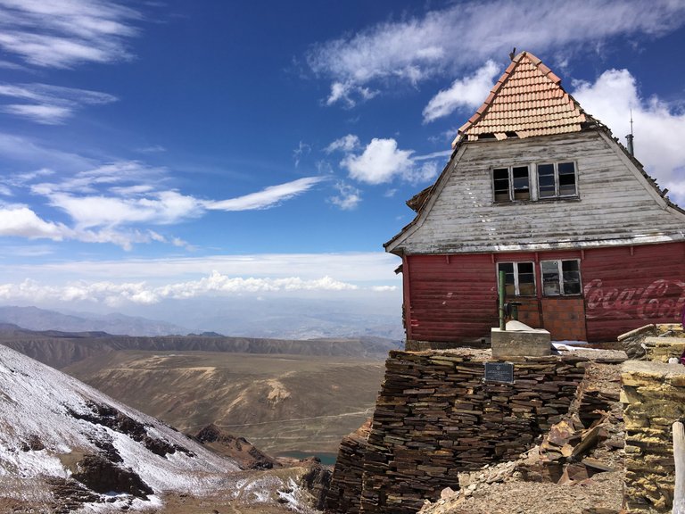
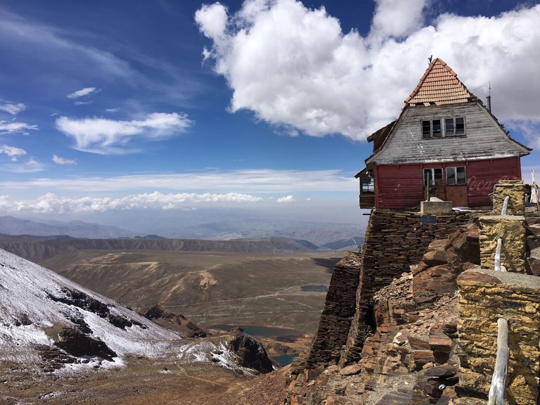
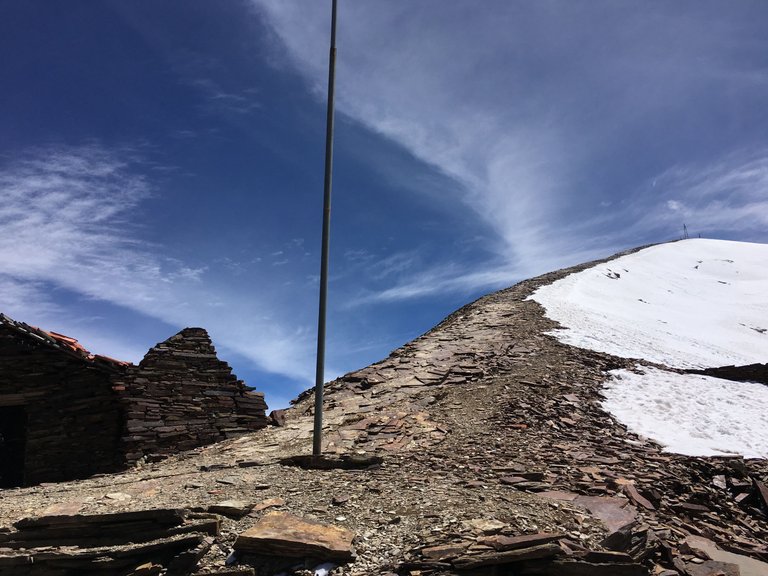
When we arrived at the parking, I was surprised to see a little ski hut. The guide told us that the Chacaltayas glacier was Bolivia's first ski slope. The Bolivian Andean Club, founded in La Paz in the 1930s mainly by Germans and Austrians, built a ski lodge and a simple lift here. The highest ski slope in the world! Important ski championships once took place here, well-heeled Paceños spent their weekends here and tourism also discovered the Chacaltaya. - Typically German 😂, who else would have an idea like that to build a ski club at 5000 meters?
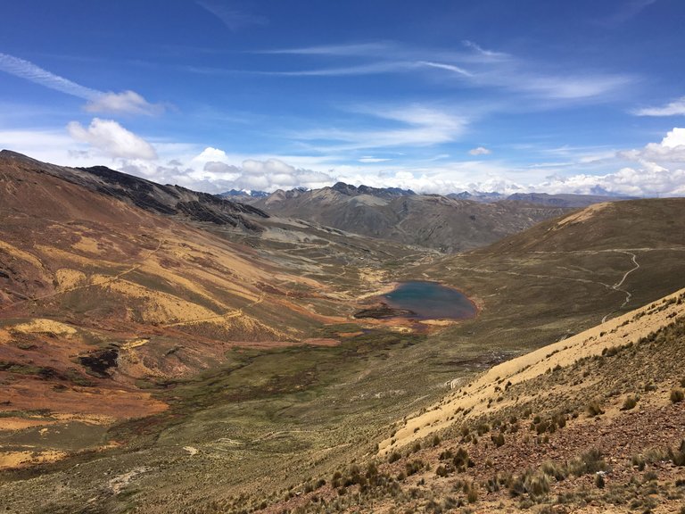
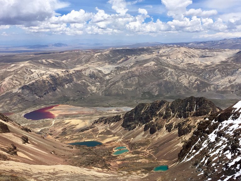
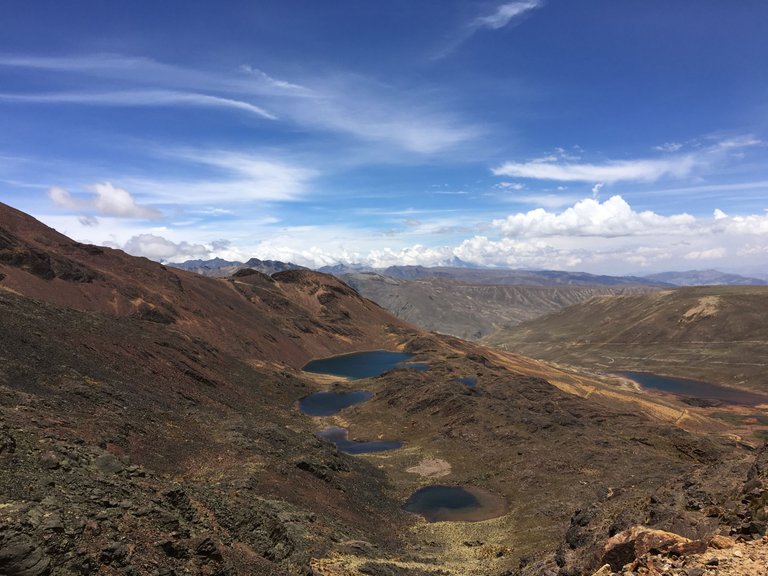
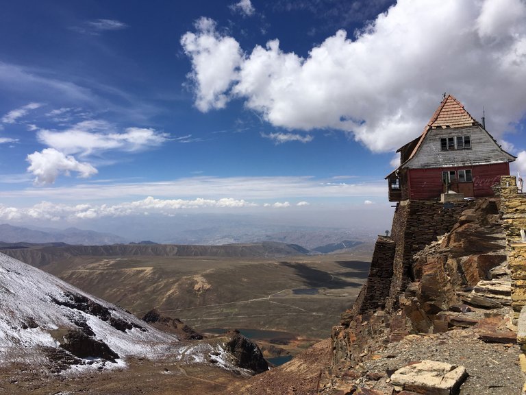
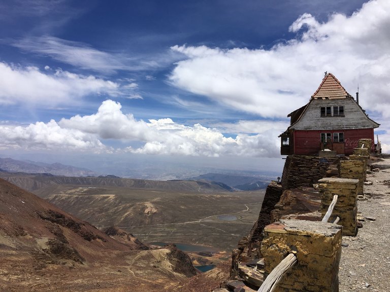
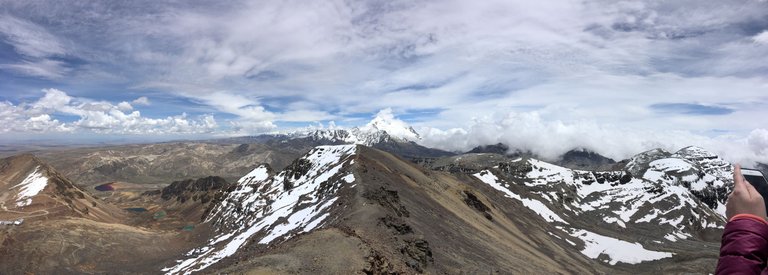
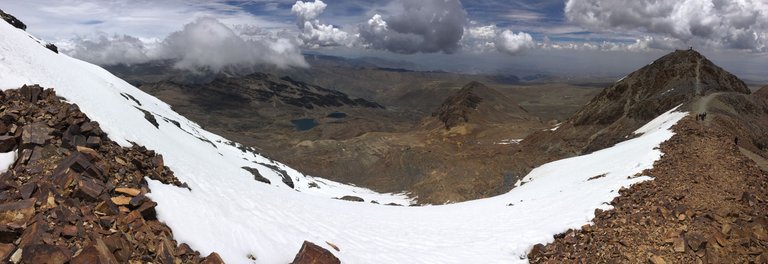
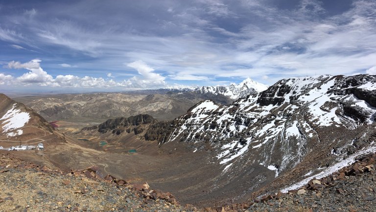
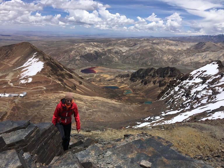
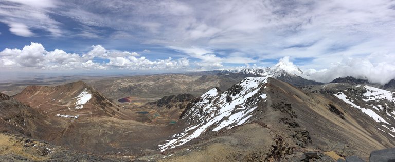
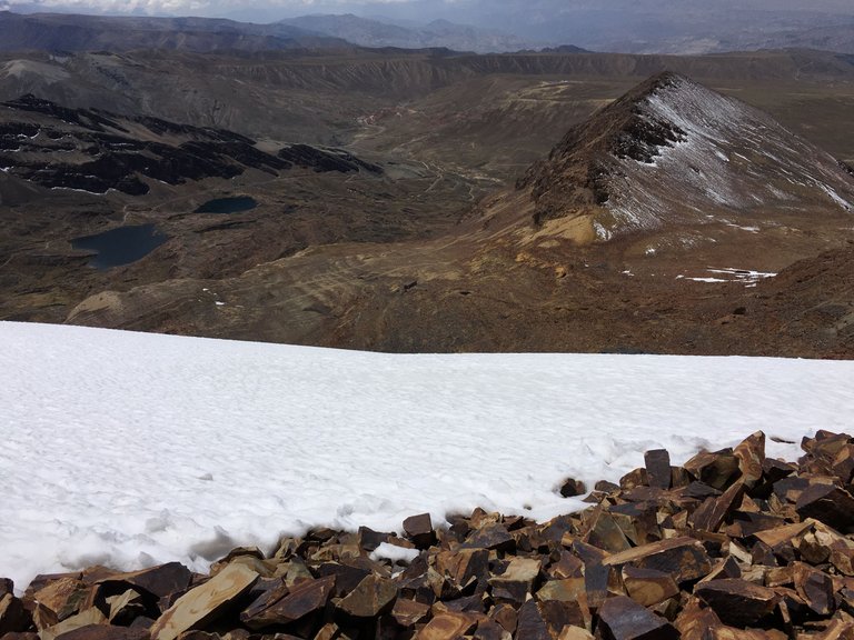
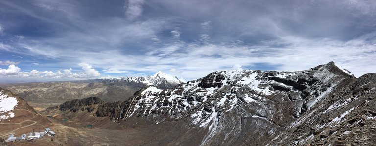
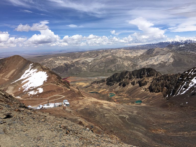
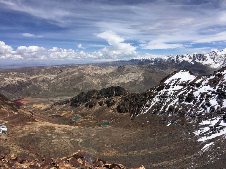
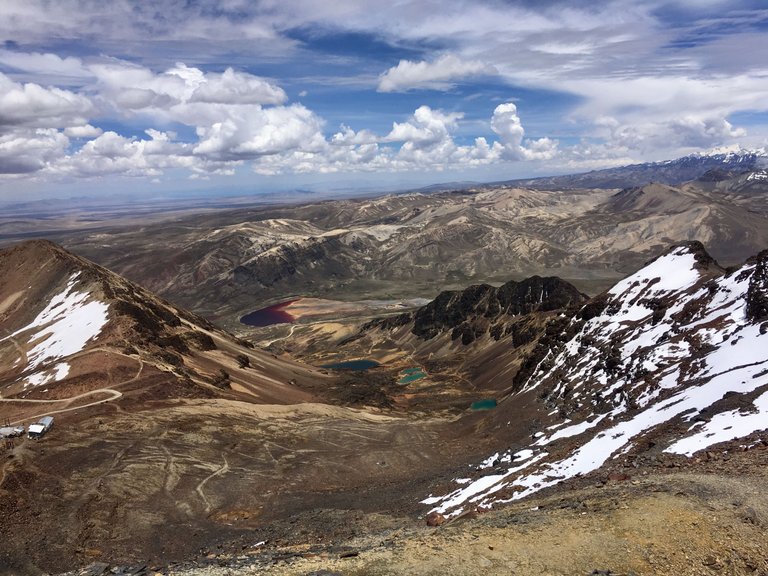
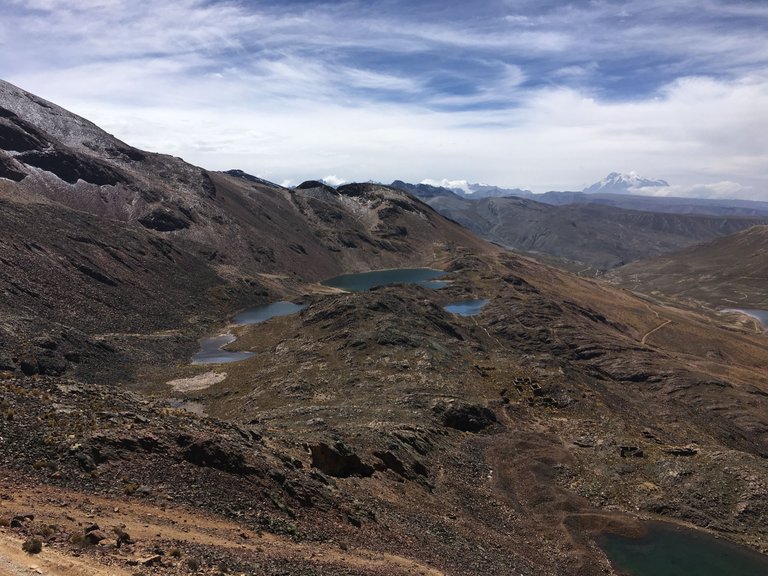
We walked down to the ski lodge and checked it out ourselves. The air was very thin already .. walking only a few meters was taking away our breath and of course, the wind was cold. The view was really breathtaking. On one side we saw all the lakes and on the other side the Potosí vulcano.
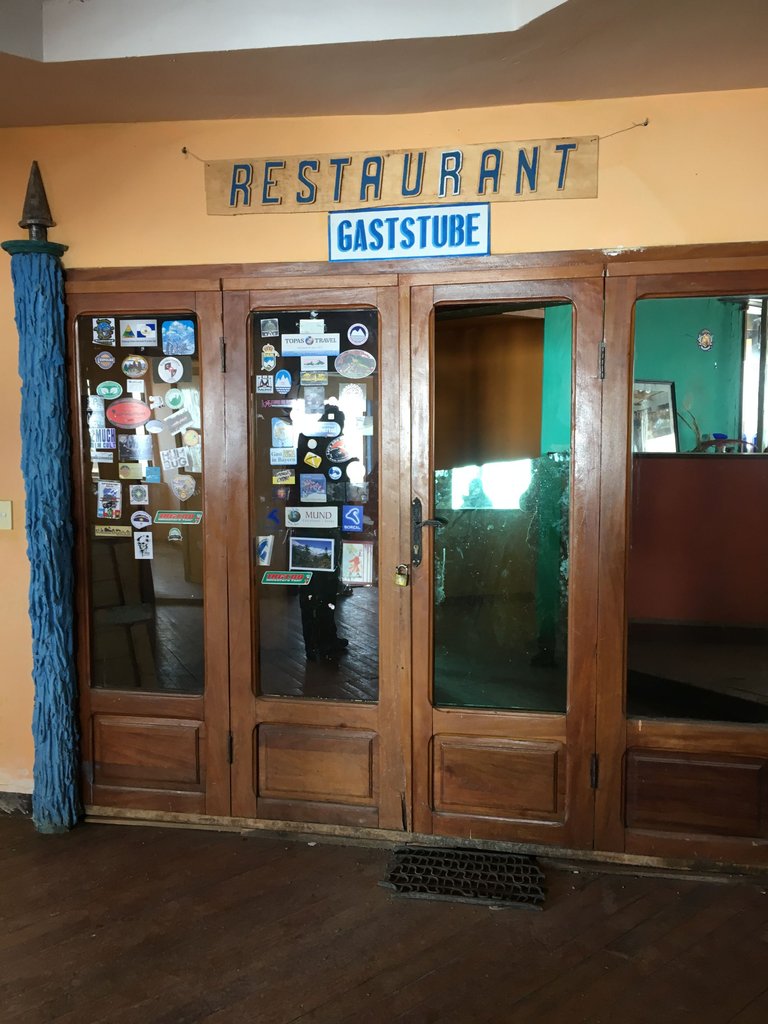
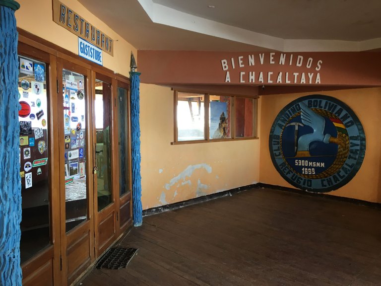
The inside was very much like many ski lodges I had seen in Austria and Germany. Wooden, cozy, and with lots of pocals, and pictures of the club members on the walls. Of course, there was also a lot of space for drinks and food... well where it used to be served. They had been closing down that place a long time ago.
The glory days at the highest ski resort in the world are over. "Schnee von gestern" (Snow from yesterday) as we say in German. Ice and snow have melted away and the glacier has disappeared. There has been no skiing since the mid-1990s. So Chacaltaya is a victim and witness of global warming. What remains is the memory of better, snowier times. And of course the unique view of the (still) snow-covered peaks of the Royal Cordillera.
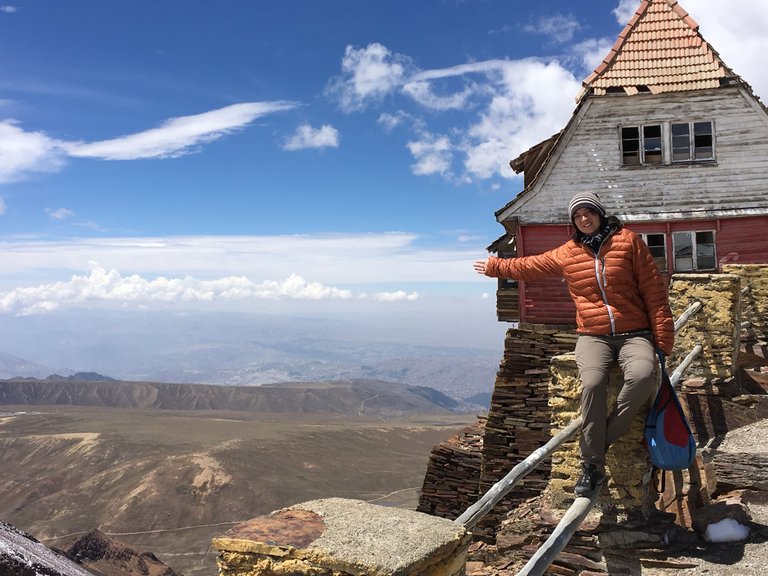
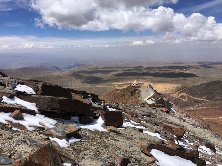
Back outside we walked slowly towards the Chacaltaya Mountain peak, enjoying the view towards the ski lodge. Amazing how they had built it just at the very edge. It looked like it could fall down the 5000 meters any minute. 😱
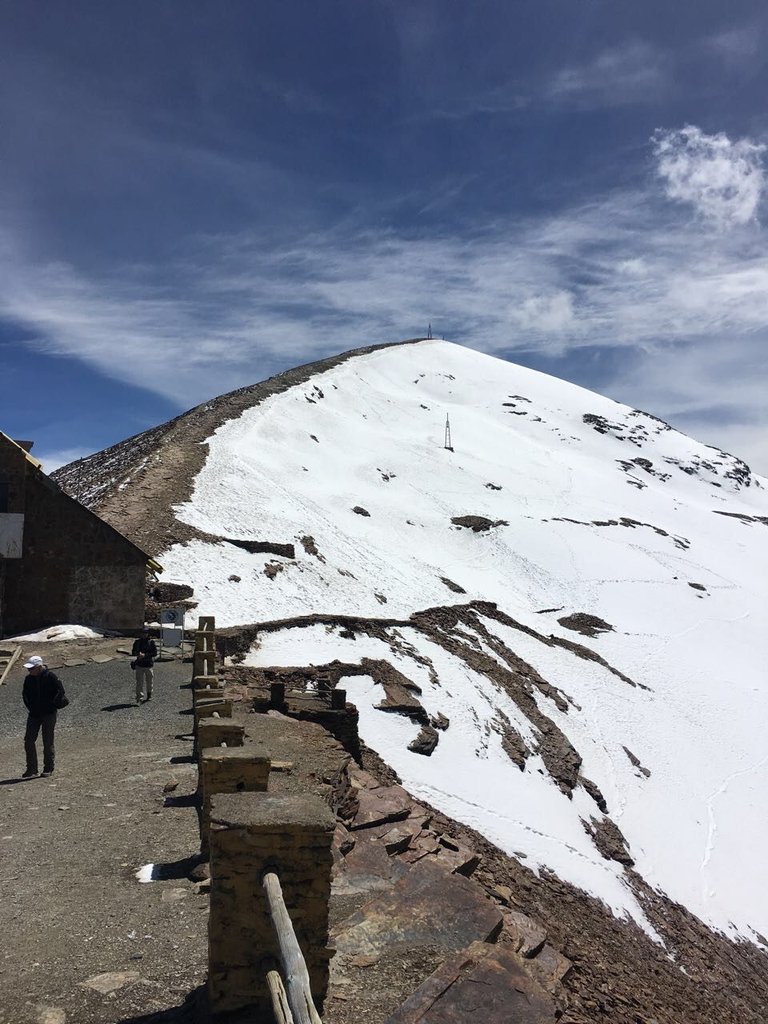
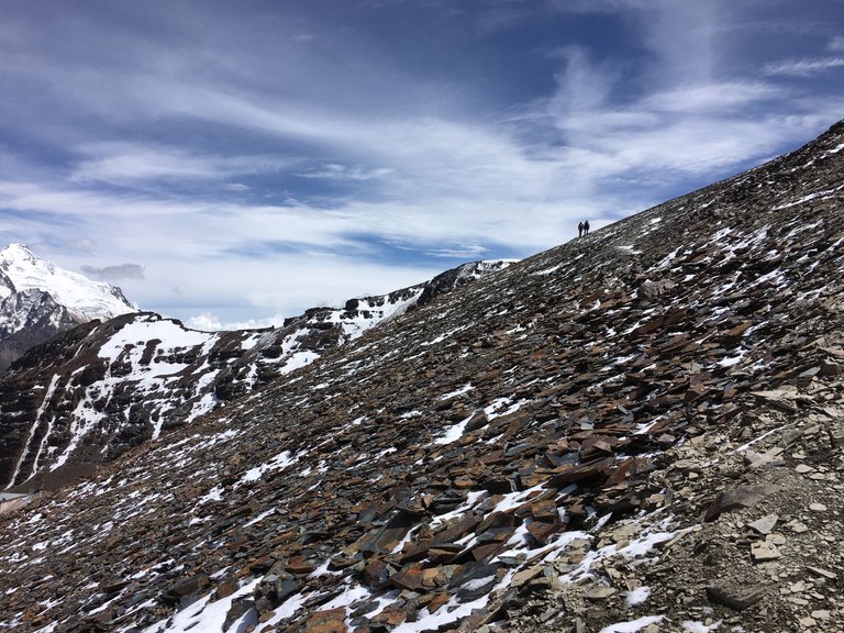
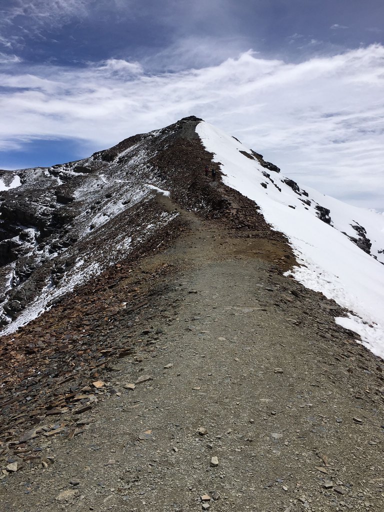
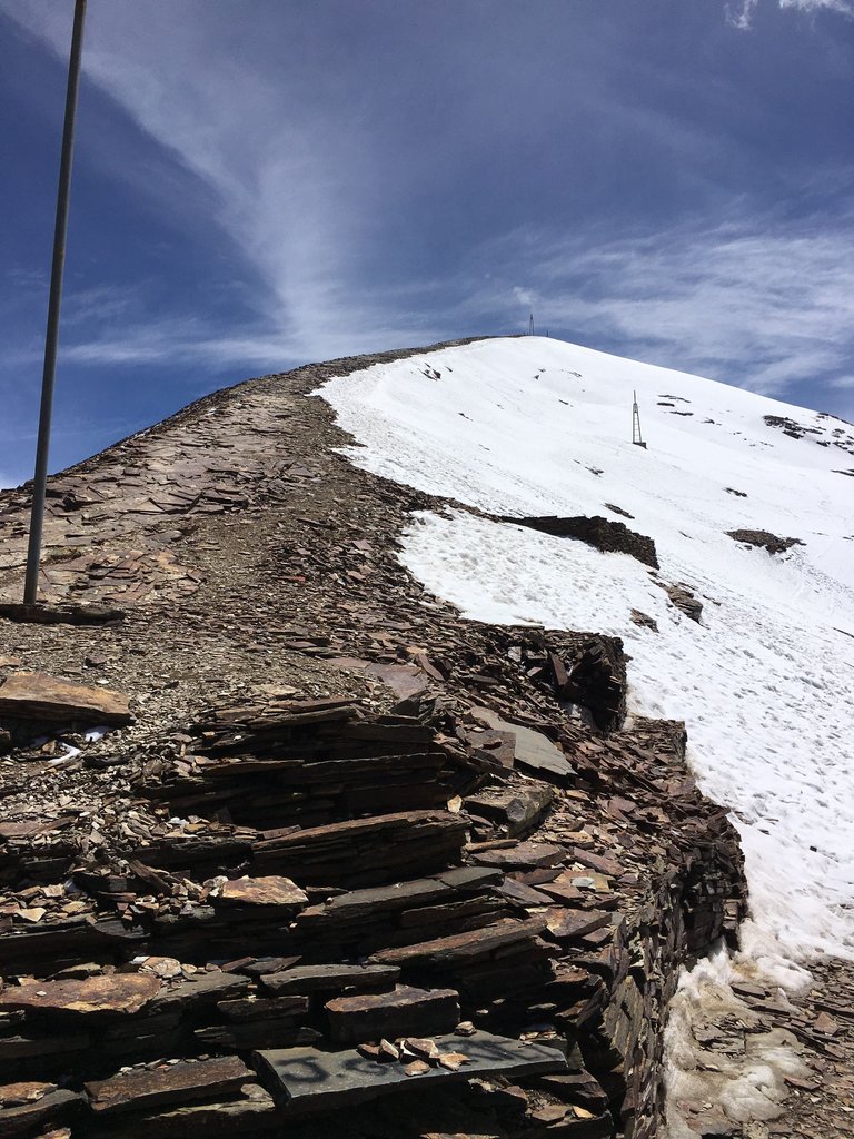
It was only a few hundred meters from the ski station at 5,200 m to the summit of Chacaltaya, but the climb was extremely hard. At this altitude the air is thin and every step is difficult. We had to walk slowly to not get dizzy.
Although we were already used to the altitude from our stay at Titicaca Lake and La Paz, we felt a touch of “Soroche”. Altitude sickness manifests itself through symptoms such as headaches, dizziness, nausea, and shortness of breath. A few people in our group had been partying the night before... they only made it halfway and then needed an oxygen bottle. - I mean, that maybe wasn´t the smartest decision of them just before that trip 😂
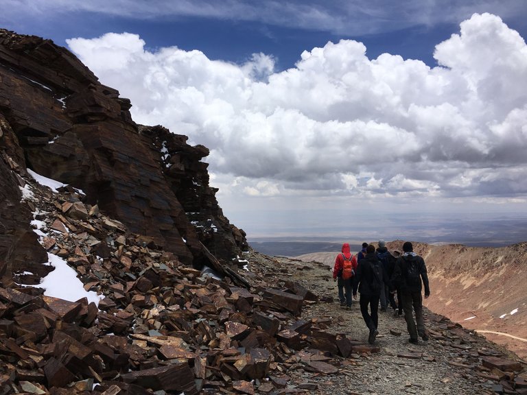
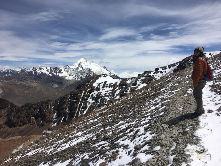
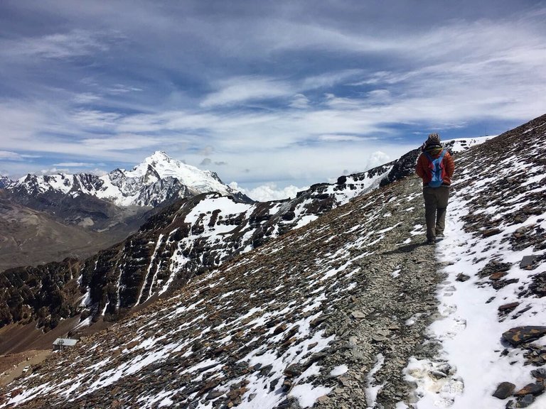
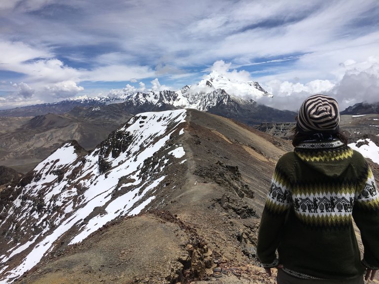
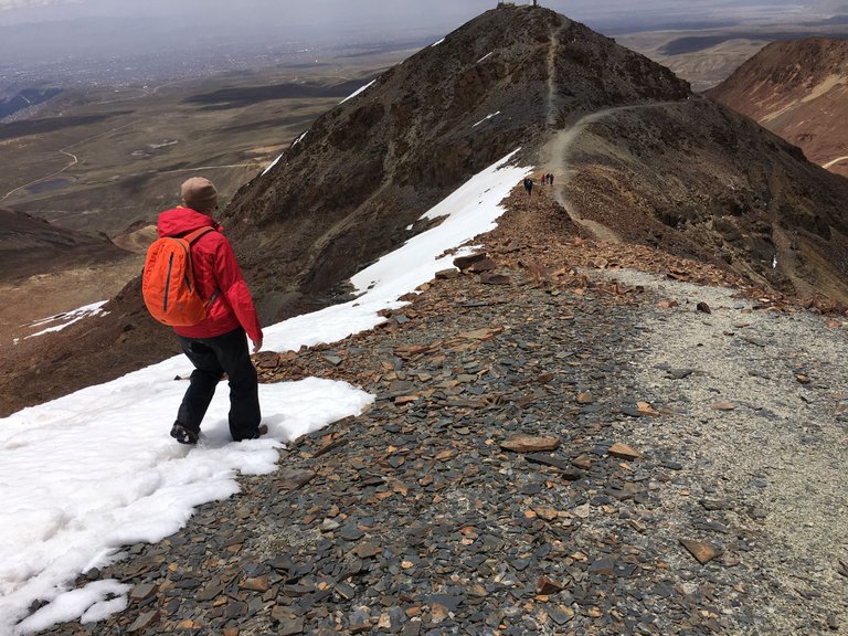
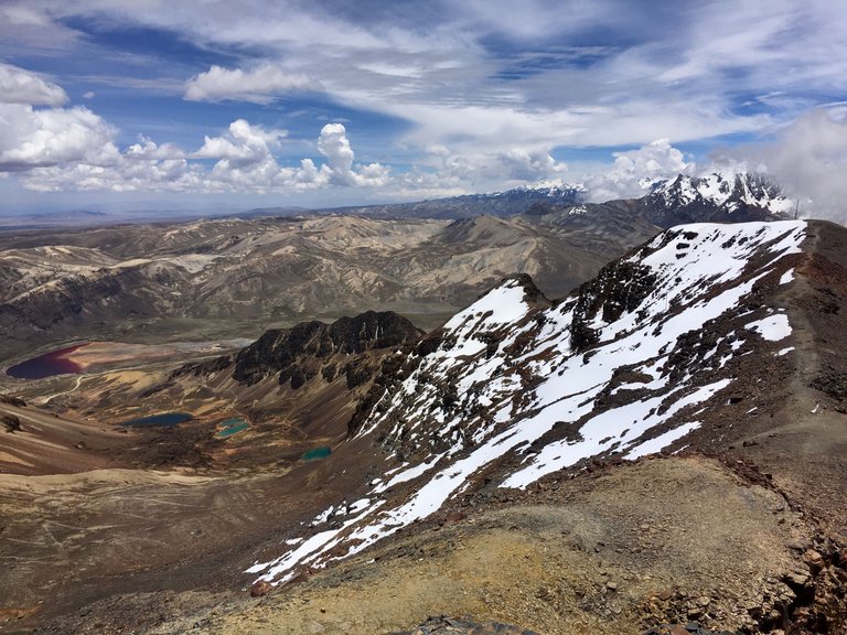
We first went to the peak that we could see. It was very tough and took forever to get there, but once we arrived our guide told us: "well done guys, and now we go to the peak of Chacaltaya Mountain" hahhaha... the longest path was still ahead. We could choose between two possible paths to get there... high up or walk around and then go up. We decided to take the walk around and then up. The air was very thin but the weather was great. We had a very good view of the other mountains and especially of Potosí. - Of course, at that altitude, we started to have some snow below our feet.
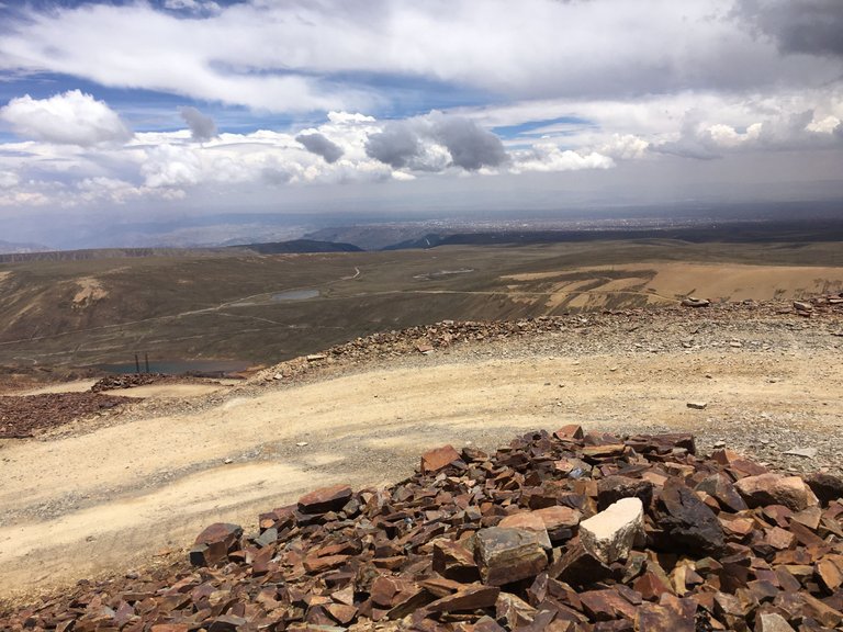
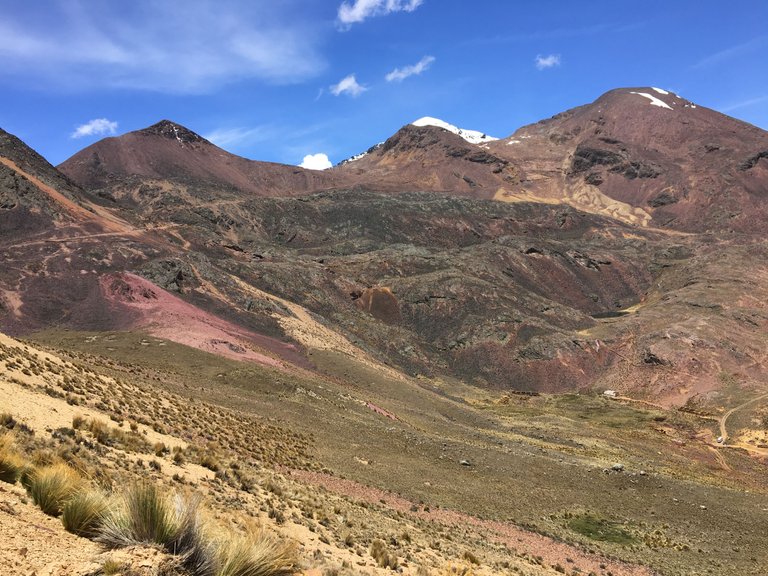
When we arrived at the platform, the view was stunning. Framed by the highest peaks in Bolivia, the landscape of the Altiplano and the valley basin of La Paz stretched out in front of us.
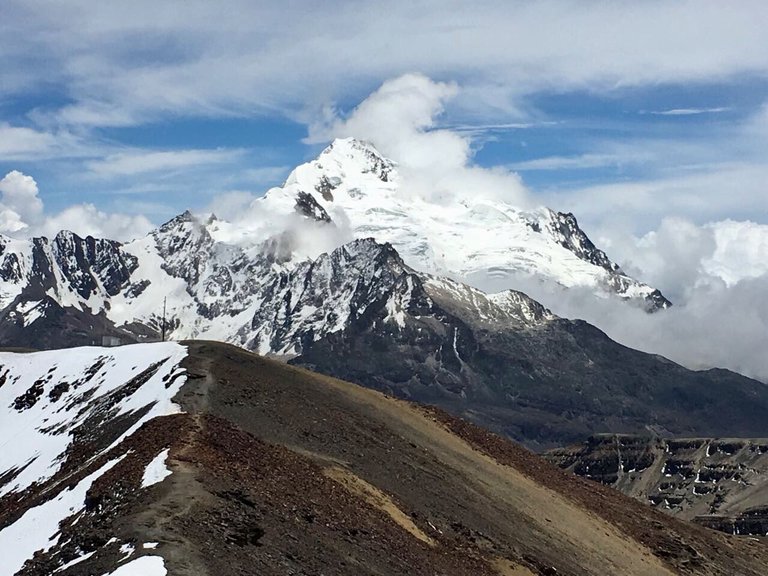
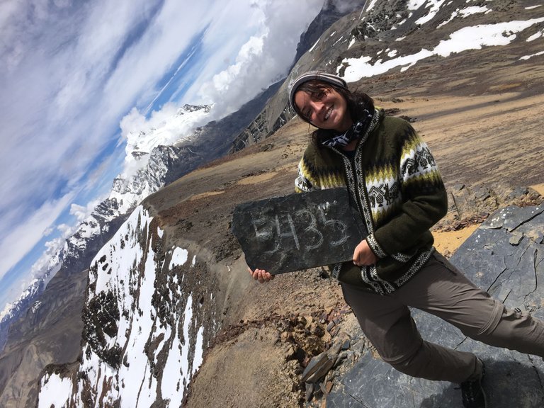
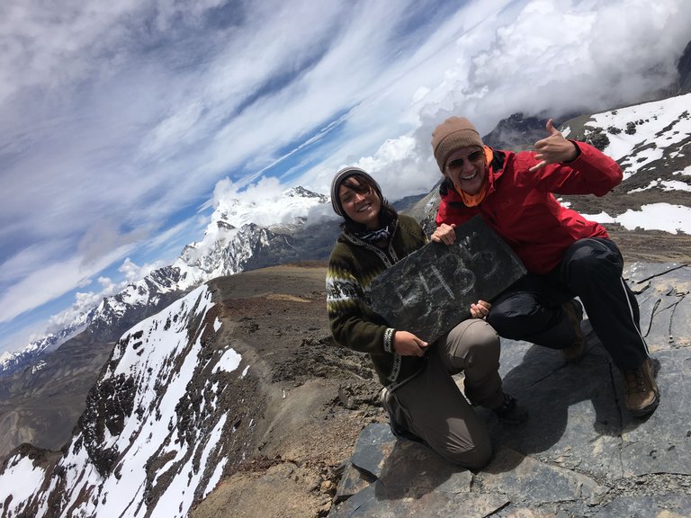
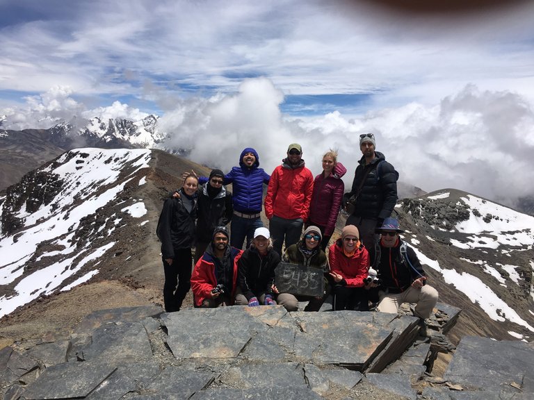
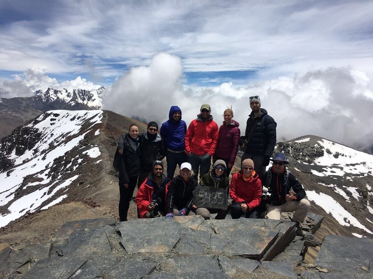
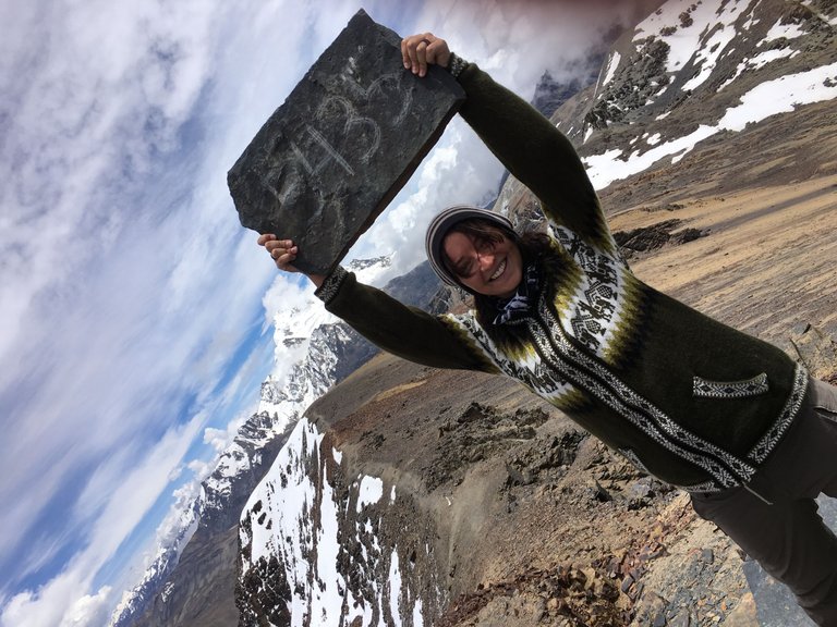
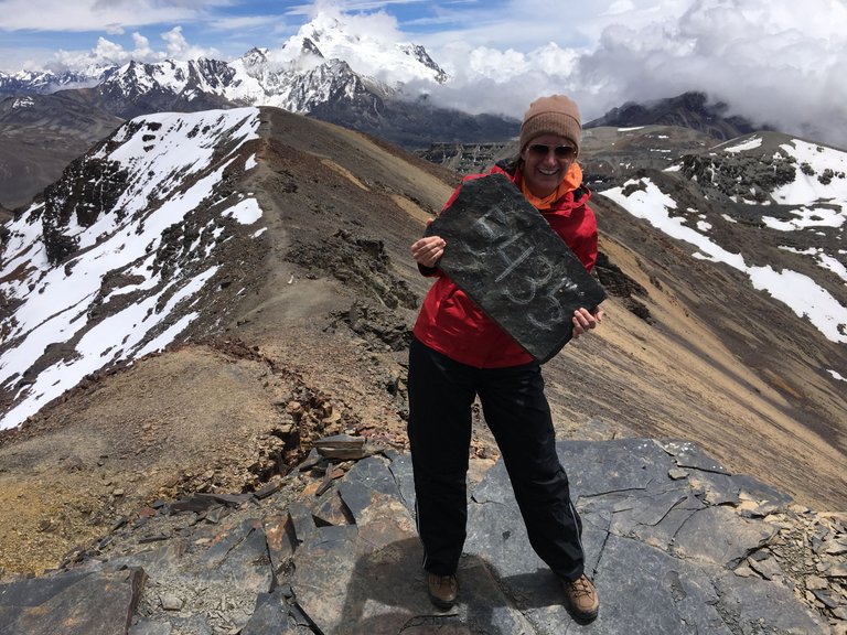
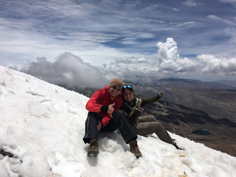
We enjoyed the view and waited until everyone in the group had arrived. Our guide congratulated us on reaching the top at 5435 meters altitude and told us about the volcano Potosí. The view was magnificent but a little bit foggy around the volcano. How impressive it must be when you look even further and you can even see Lake Titicaca in the distance!
He took one of the rocks lying around looking like a small blackboard and another small rock to write on it and then gave it to us to take a picture in front of the volcano. After a little while the clouds even passed for a moment and we had a clear view towards the volcano! Really cool!
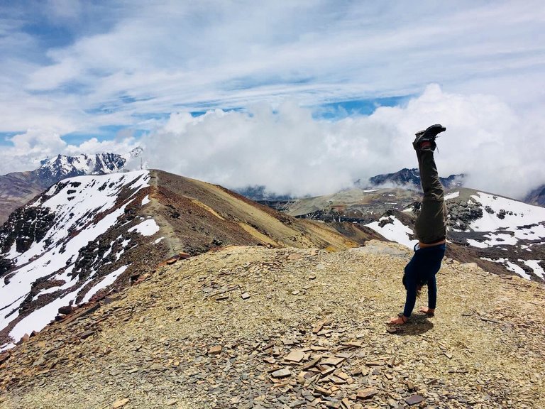
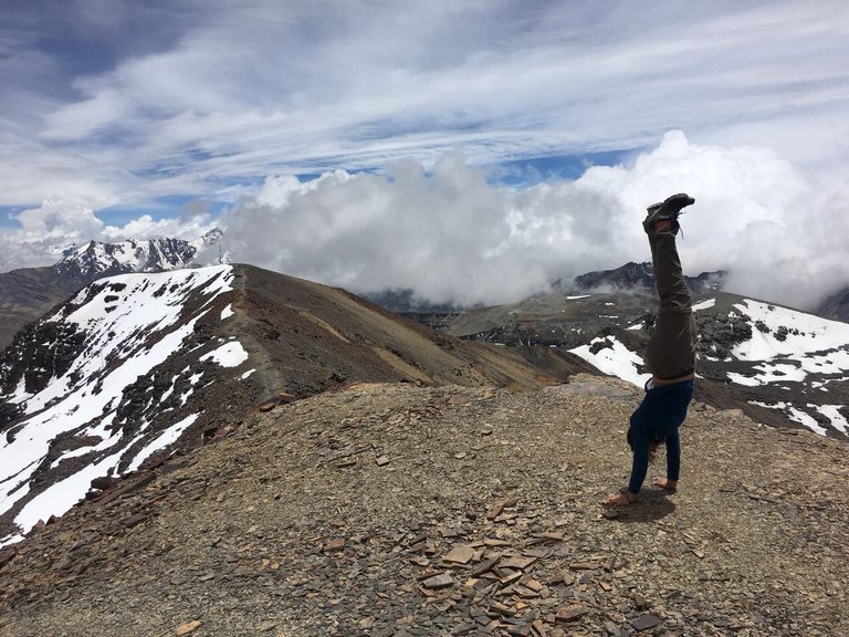
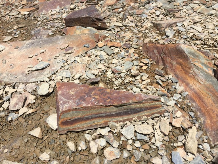
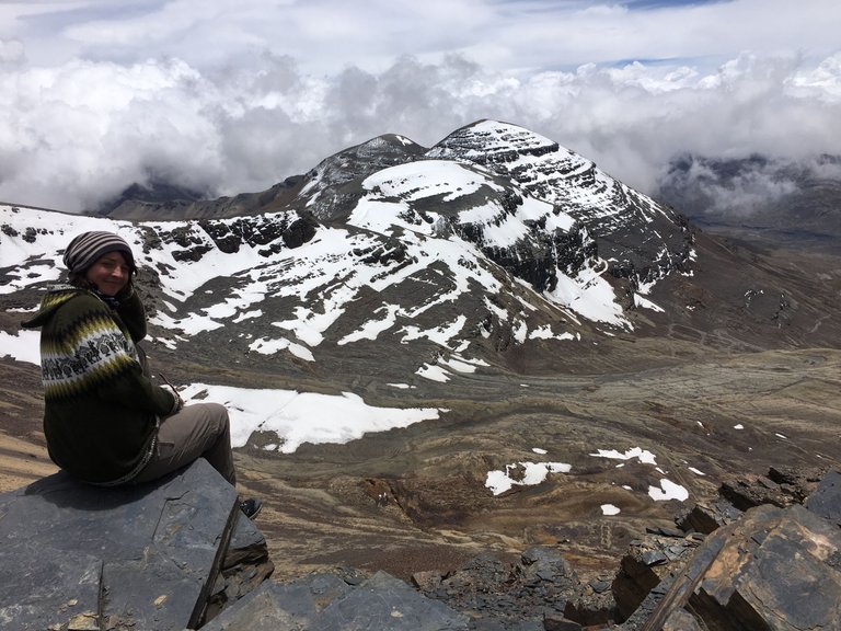
Of course, I also did my obligatory handstand in front of this awesome view. The ground was covered by sharp rocks though, so I did hurt my hand a little bit. The view from the other side was also not bad. I liked the rock there to sit down and let my legs hang down for a little bit. - So i just sat there and watched the clouds passing by, seeking in the fresh thin air and enjoying the moment.
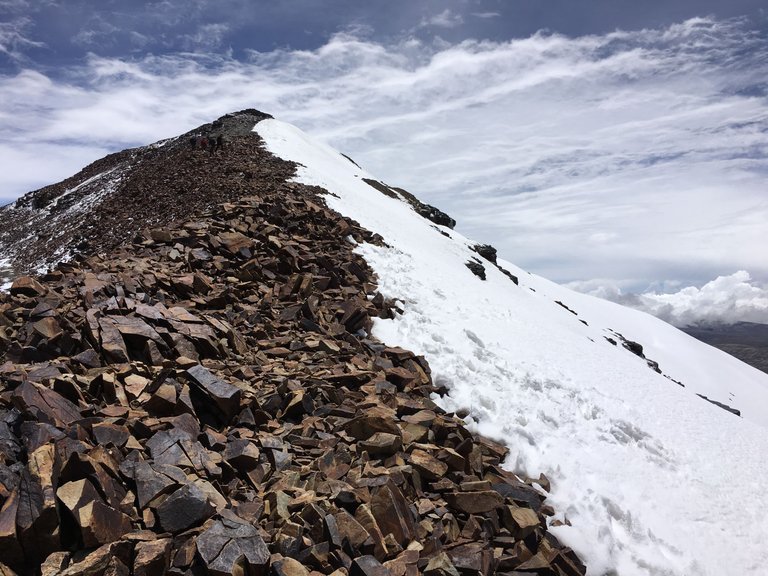
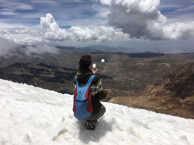
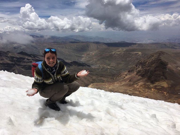
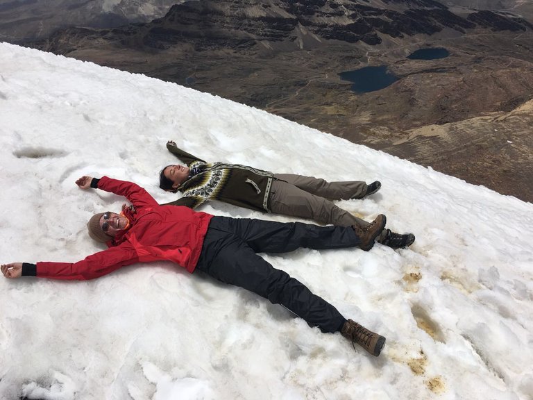
On our way back we choose the snowy steep path. Very cooling for my hurt hand and of course nice winter feeling, playing around with it. We formed some snowballs and threw them around but then remembered real quick that the air was still very thin.. not much power to fool around haha.
I started to get headaches again, so we decided to be reasonable and walk down focused on the path, watching our steps and of course very carefully. - As always downhill was much easier than uphill, and air was getting a little bit easier to breathe step by step. The last part was the most difficult as it was getting very rocky, slippery and steep.
Back at the plateau, we were very tired all of a sudden.. crazy as in distance it hadn´t been that far of a walk.. but of course for the body very hard to do with such thin air. We were happy that everyone made it back healthy... of course the hangover guys had been waiting at the ski lodge most of the time 😂 - but they seemed fine by the time we were back also.
We enjoyed the view a little bit longer, had some drinks and snacks and then jumped into our minivan again.
Of course, the way back down was just as beautiful as our way up. Most of the others fell asleep and just took some rest. I had opened my windows, looked outside, and felt the cold wind in my face. I thought back to what we had just experienced and imagined people (including the crazy German and Austrian) skiing down that very steep hill. That must have been very special but also very exhausting.
We drove back to La Paz in about 2 hours and jumped out of the minivan close to our hostel. The last stop of that day before going home was our favorite pub just in front of it. There we had some food and drinks, exchanged pictures and talked about the day.
Cheers,
Liz



Amazing photos and place I will be curious to see more pics of the market 🤩 just because I love markets so much, by the way looks really cold 🥶🥶
Haha, sadly I don´t have more pics of the market, but in the video you see a little bit of it. New adventures from Bolivia will follow though. - Maybe I will find the time to write about German Christmas market for you @noemilunastorta🐝🐝
How about the high altitude sickness? Is there any problem with that? By the way, your pictures are fantastic.
Thanks for stopping by @georgehive! Yes, some of the group had problems and needed some oxygen. For me, it was hard to breath as well and I got a little bit dizzy, headache.. but not that much as I was used to the hight already. :) - Glad you like the pics @georgehive😎☀️
You can check out this post and your own profile on the map. Be part of the Worldmappin Community and join our Discord Channel to get in touch with other travelers, ask questions or just be updated on our latest features.
Thanks @worldmappin🐝👍
This post has been manually curated by @steemflow from Indiaunited community. Join us on our Discord Server.
Do you know that you can earn a passive income by delegating to @indiaunited. We share more than 100 % of the curation rewards with the delegators in the form of IUC tokens. HP delegators and IUC token holders also get upto 20% additional vote weight.
Here are some handy links for delegations: 100HP, 250HP, 500HP, 1000HP.
100% of the rewards from this comment goes to the curator for their manual curation efforts. Please encourage the curator @steemflow by upvoting this comment and support the community by voting the posts made by @indiaunited.
Congratulations @lizanomadsoul! You have completed the following achievement on the Hive blockchain And have been rewarded with New badge(s)
Your next target is to reach 9250 replies.
You can view your badges on your board and compare yourself to others in the Ranking
If you no longer want to receive notifications, reply to this comment with the word
STOPCheck out our last posts:
At the altitude of 5435 meters, the air must be so light with less oxygen, and it is very tiring to walk. But the breathtaking views can heal your tiredness within the blink of your eyes. I hope you enjoyed the hiking.
Just like you said @tanzil2024! you walk 10 meters and have to take a break, as the air is too thin to do a lot of sports. but the views are unique and awesome! We did very much enjoy the walks. But it was very weird at the same time. The walk looks very easy and still isn't.
Wow awesome hike up to the top. Love the views around. The winding road up…
I had once altitude sickness symptoms, it can be hard to continue than. We done you continued.
Funny story that Germans build the ski lodge… a shame it all disappeared with the disappearance of the snow / glacier. Awesome it is the highest one in the world.
Loved the video… a great glimpse of your trip.
Thanks for sharing.
Have a beautiful Sunday 🤗😘
!LUV
It was a very unexpected nice walk. Just a fun one that turned out super special! Weird to walk on "easy trails" needing so much air and effort :D
Really a great experience. So nice of you to stop by @littlebee4🐝🐝 Have a great start of your week ❤️❤️
Those are the best I think 😁
I can imagine it must have been weird to struggle so much. But altitude does a lot with ones body.
Happy to read your posts. They are awesome.
Thank you so much 😊 enjoy the start of your week too. 🥰🤗
Yes, the unexpected surprises are always the best @littlebee4😎😎 sooooo weird! but also fun.. so stupid also of those young guys to go there hangover... no wonder they failed 😱😜😅 - Thanks for your appreciation. It means a lot for me coming from you ❤️❤️ Have a nice start of your week today Jackie🐝🐝
If you go with a group or joining a group, there are always some stupid ones in there. That think it is all easy and than can’t complete what they wanted to do for whatever reason.
You are so welcome Liz, with pleasure. 🤗
Thank you so much 😊 hope your start of the new week will be good. (Considering all that is going on)
!LUV
Yes, that´s true. Also always good entertainment 😅 Week started well. I hope yours did also start good @littlebee4! ❤️😘
Sometimes really funny entertainment haha
Good to hear, yes mine too… although I think we are coming down with something 🤒 Hubby started a few days earlier. Part of winter 🥶
Hiya, @lizanomadsoul here, just swinging by to let you know that this post made it into our Honorable Mentions in Travel Digest #2410.
Your post has been manually curated by the @worldmappin team. If you like what we're doing, please drop by to check out all the rest of today's great posts and consider supporting other authors like yourself and us so we can keep the project going!
Become part of our travel community:
❤️❤️
Being John Malkovich here...
:D
Wow! Thank you so much for "taking" me with you in your amazing journey! I felt the cold air in my nose just by reading your post and saw your photos and video! The feeling must be unique, and the effort that you placed in reaching the summon has to make it even better!
Such a pleasure to see your photos, and read your adventure!
Thank you for sharing with us, Liza!
My big pleasure @xrayman!! Thanks for going with me on this walk at this altitude 😎☀️ - Glad you enjoyed the view. And thanks for stopping by ❤️😎
What an imposing and impressive landscape, the Andes has that wonder and magic in each of its mountains and villages. Greetings !
I am glad you like the views @wilfredocav! It indeed has something very special. I loved the cold wind and the silence up there. so magical! Greetings back 🐝😘
What a great adventure Liz!. I'm so glad you were able to take advantage of your visit to Bolivia to go so high... How sad that now there is little snow in the area, but at the same time it's good that there is still some left, even if you can't do sports there. I see you so warm and I think of that cold breeze you describe hahaha, how wonderful! I fell in love with the pictures and that quaint little house up there at the top, thank you so much for sharing your experience with us... Loved the video...
Thanks @jesuslnrs! Yes, we didn't know what to expect that day, but it was so cool to be up there!! Yes, sad there is no skiing anymore.. but I find it hard to believe how they even managed to do sports up there with thin air like this 😱😂 - Some must have fainted after 5 meters already. - Only for pros maybe... I am very happy you liked the adventure @jesuslnrs - Thanks for stopping by ❤️😎
I thought the same thing when I was reading you hahaha.... A hug for you! 😘
😂😂 Thanks @jesuslnrs🐝
What an incredible place. Really. That picture with the refuge and all the landscape in the background is AMAZING ❤️ I can only imagine how it was to be there in real life!
So nice to see you here at my blog @alecaltab. ❤️ It was a very special place indeed @alecaltab. - Glad you liked it 😎☀️
It hope it's not the last pearl you have to give us about Bolivia. It's a country that always fascinated me since I was 22, I wrote a short story about Butch Cassidy and the Sundance Kid 😁
Of course it is not 😎 - Still a lot nice places to come @alecaltab🐝🐝 I am sure you will love it then ❤️😎
Thanks @wilfredocav for curating ❤️
Such breathtaking views. We have such mountains in Pakistan
I am sure you have great mountains there! Would love to see them one day as well. Have you ever been?
I've been to the mountains yes. And the experience is just so amazing
❤️❤️
Those are awesome pictures. How beautiful your country is!
Not my country @deviliclucifer :D but still beautiful.
WOW I really love this kind of adventure in nature, especially in the mountains with snow 😍
It was a very cool day in many ways @hierundjetzt 😅😎
This is the kind of life I'm dreaming of. I am happy for you !BBH
Lol, It was a very great time @day1001😎☀️
What an amazing adventure. Every time I see a high mountain I feel so small, in a good sense. The Altiplano, the Potosí and the people there enjoying the amazing views makes my imagination flies. Thanks for sharing your trip and your amazing to photos.
Same here @alejandra.her. Standing up there is changing the perspectives. It's just like looking out of the window of a plane. I loved the place a lot! Glad you also liked it and could join me on the adventure @alejandra.her👍
@lizanomadsoul! @day1001 likes your content! so I just sent 1 BBH to your account on behalf of @day1001. (12/20)
(html comment removed: )
)