Lermoos, Grubigsteinbahn - Grubigalm - Lermoos
Bichlbach, Almkopfbahn - Alpkopf - Heiterwanger Hochalm - Bichlbach
It was a foggy morning and we were sitting in the cosy dining room and enjoying delicious breakfast made by the owner of our guesthouse, while planning our first trip in the mountains. The weather forecast was not very optimistic but at least there was no rain and the temperatures were quite fine.
Our first stop was at the valley station of Lermoos cable car where we bought our ticket for unlimited use of the lifts for all the days of our holiday. As the weather was not very good, there were only some lifts in operation and we decided to take the Grubigsteinbahn we were at. It was going up to Grubigalm. During the journey, we totally enjoyed the views of clouds and fog but still we felt the mountains are somewhere behind them 😀
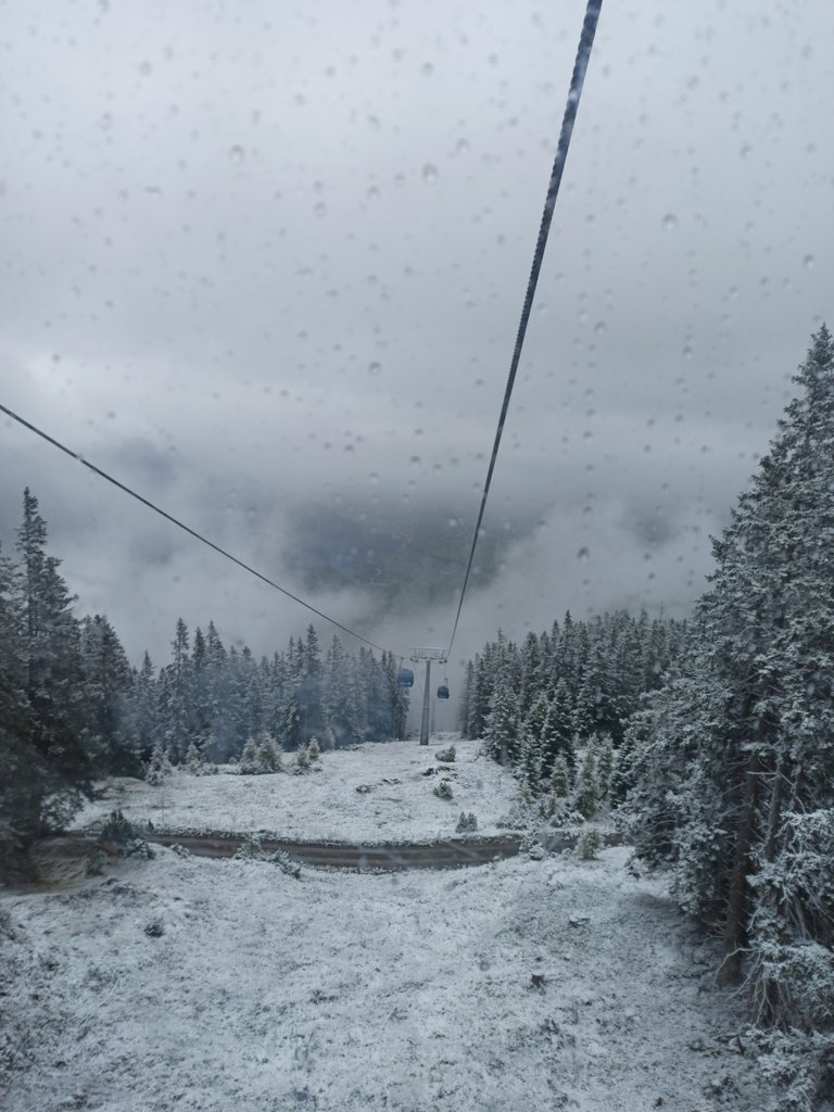
We got off the cable car and walked in the snow for about 15 minutes in the direction of a panorama bench. In our case, it looked like a panorama bench immersed in milk.
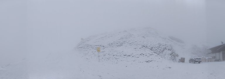
We gave up and went to the cottage next to the mountain station and had a cup of tea and an apple strudel which we were longing for for such a long time. After a short relax, we decided to walk down.
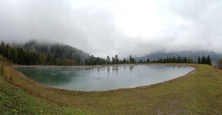
We were happy and grateful for any piece of mountains coming out of the clouds.
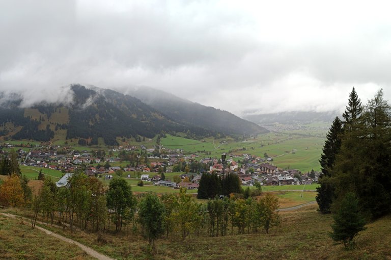
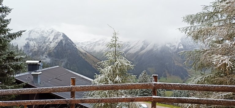
After a short time, we reached again the valley station and on the information board we found out that we were quite lucky because it was the last day before closing of Almkopfbahn. We immediately moved to a nearby village Bichlbach and went up (we were the only tourists there). On the top we decided to climb up to Alpkopf - 1802 m high mountain.
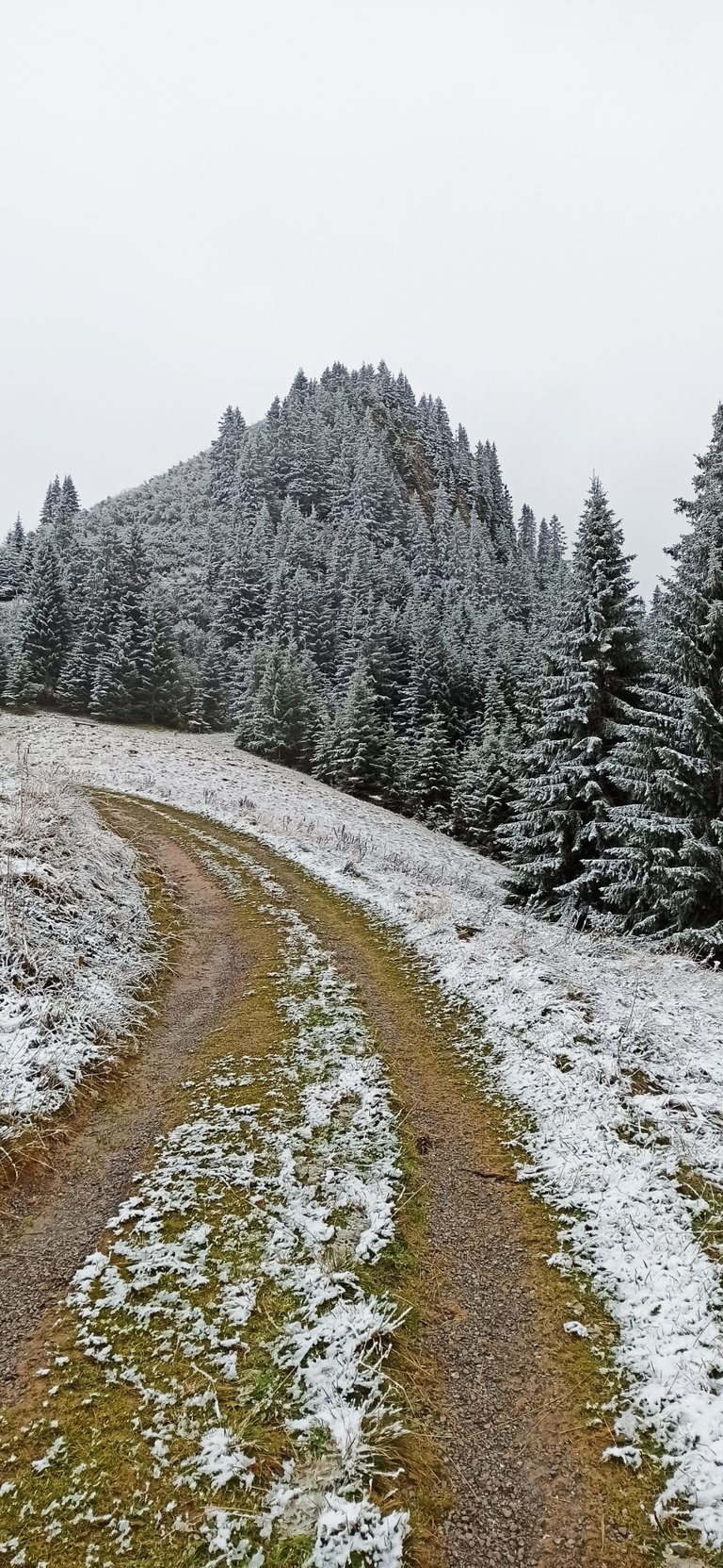
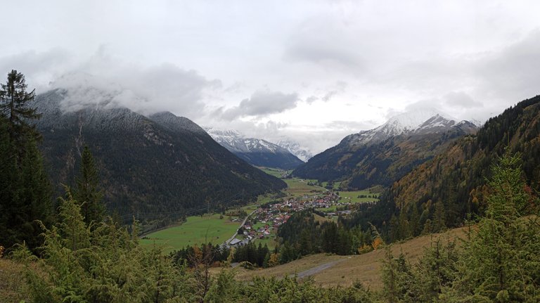
It was quite an easy and short hike and at some point, we had a bit better view of the valley and other mountains.
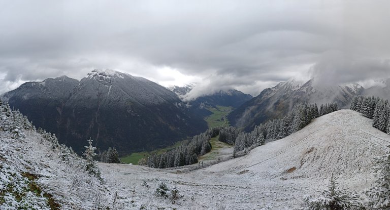
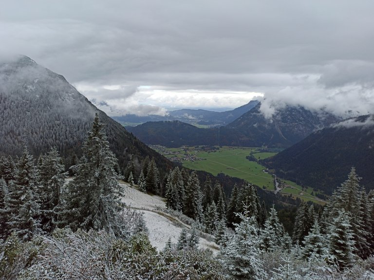
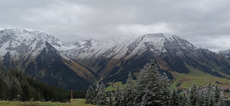
After a short break at Heiterwanger Hochalm cottage which was directly next to the cable car station, we decided to walk some of the trails down, still admiring the views.
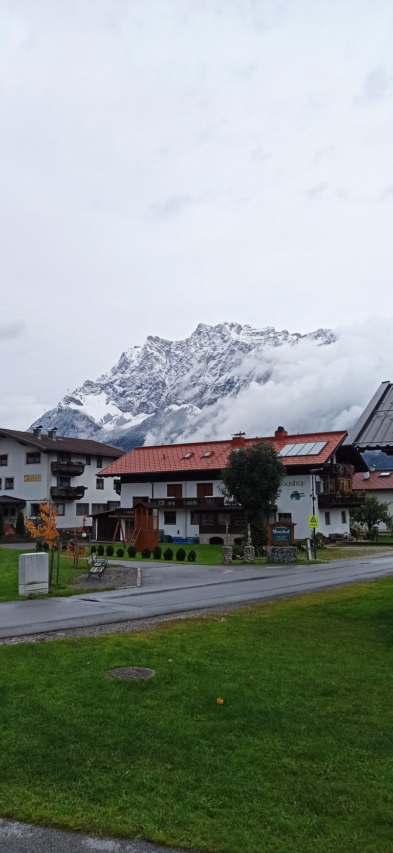
And when we came back to our Lermoos in the afternoon, we got the best reward - a clear view of Zugspitze.
Hiya, @LivingUKTaiwan here, just swinging by to let you know that this post made it into our Honorable Mentions in Daily Travel Digest #1131.
Your post has been manually curated by the @pinmapple team. If you like what we're doing, please drop by to check out all the rest of today's great posts and consider supporting other authors like yourself and us so we can keep the project going!
Become part of our travel community:
Hi, @livinguktaiwan, thank you very much!
i wish i could be there someday ,,, thanks for the photos its good
Thank you! I hope that the travelling will be allowed soon so that we can visit places like this.
hope so @loulou1987..
@tipu curate
Upvoted 👌 (Mana: 70/112) Liquid rewards.
Thanks a lot, @magicmonk
Congratulations @loulou1987! You have completed the following achievement on the Hive blockchain and have been rewarded with new badge(s) :
Your next target is to reach 3500 upvotes.
You can view your badges on your board and compare yourself to others in the Ranking
If you no longer want to receive notifications, reply to this comment with the word
STOPCheck out the last post from @hivebuzz:
Congratulations, your post has been added to Pinmapple! 🎉🥳🍍
Did you know you have your own profile map?
And every post has their own map too!
Want to have your post on the map too?
I wonder what is that?
Awesome how peaks are covered by the cloud blanket 🙂