We have started our Panoramic Trail, just after finishing the Nagarkot Nature Trail: The amazing deep hill hiking , I should say below point is the ending of the Nature trail as here we have just got down from the nature trail and found the highway!
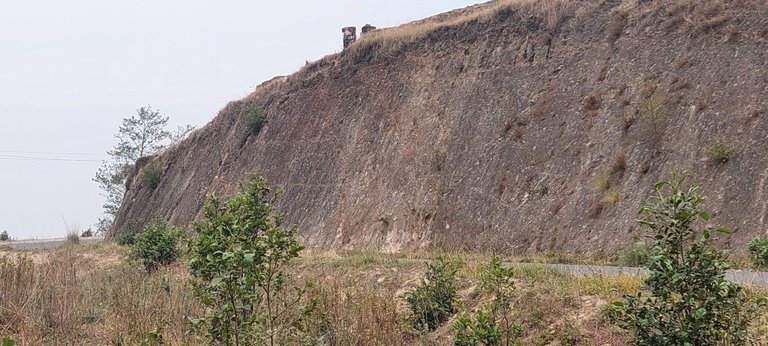
Sharing the pictures of the beautiful valley; you'd see just after finishing the Nature trail and it would be the beginning of the Panoramic Hiking Trail!
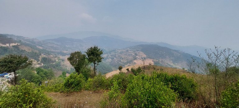
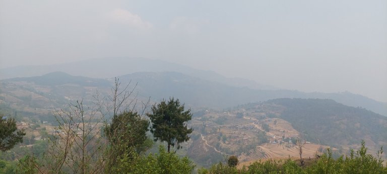
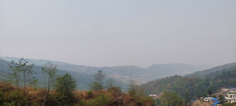
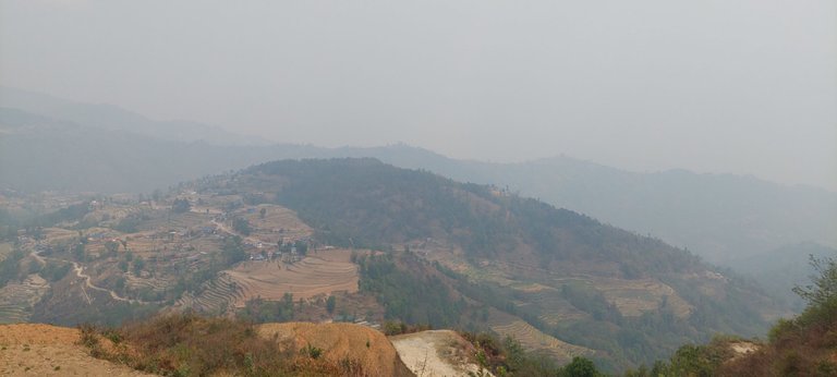
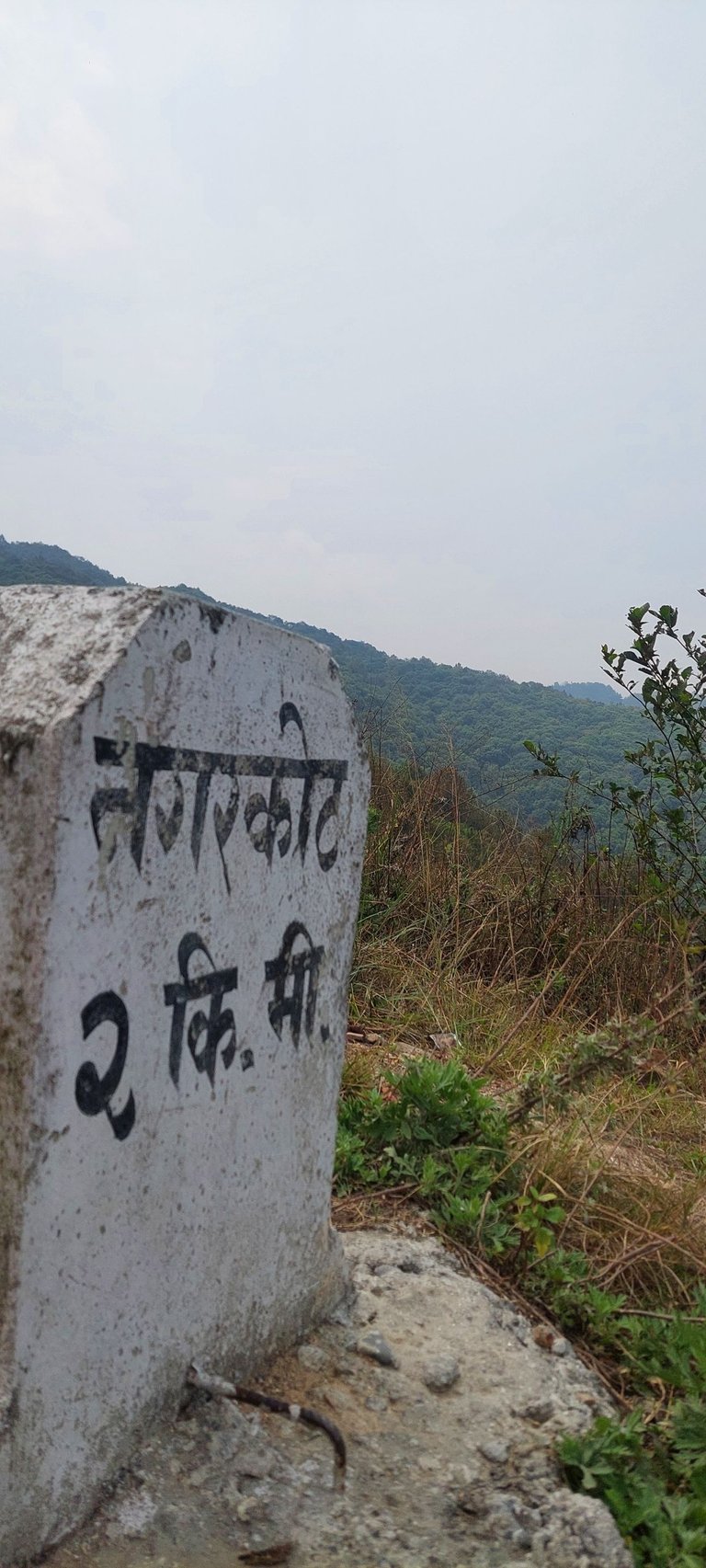
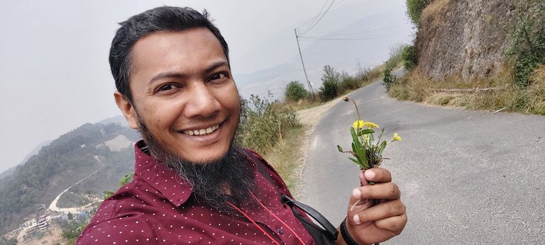
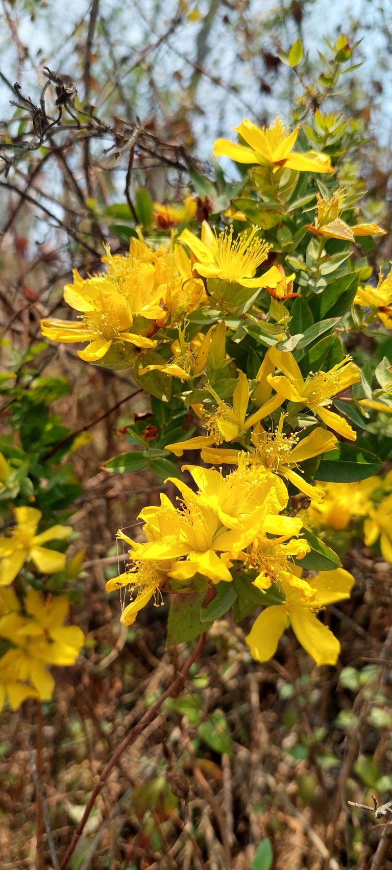
Here I have collected some grass flowers! From this point, the whole valley looked amazing, though my uncle and cousin didn't stop there and I couldn't bind myself to watch the valley from the hilltop!
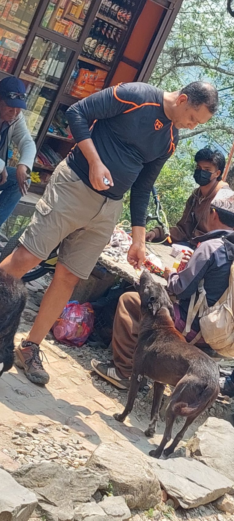
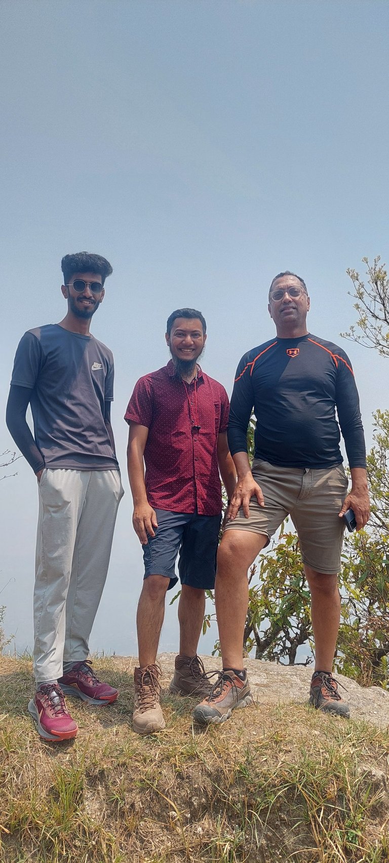
Just about 100 meters up we have found and stopped for a cup of tea, my uncle, a tall and friendly man, has a deep affection for dogs. His kindness and love for his four-legged friends are as boundless as his height, making him a cherished companion to both people and pets. His presence brings joy wherever he goes. Luckily we found many dogs around!
Soon we were passing the Nagorkot Farm House Resort at Kartik Thumko. I fell in love with this highway, we walked towards the Panoramic entrance and the road along trees on both sides was amazing. I wish a walk during the rain in a similar way!
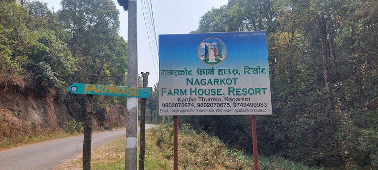
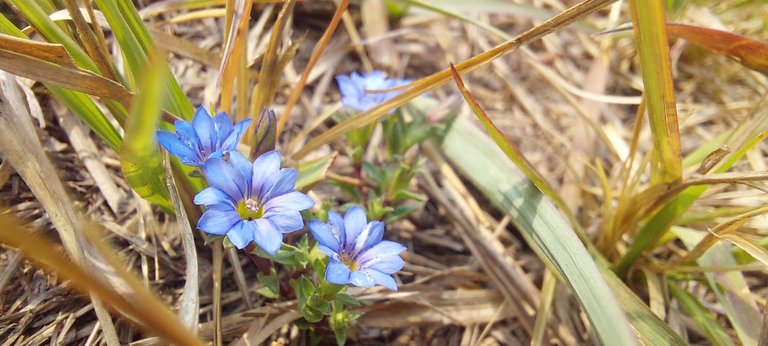
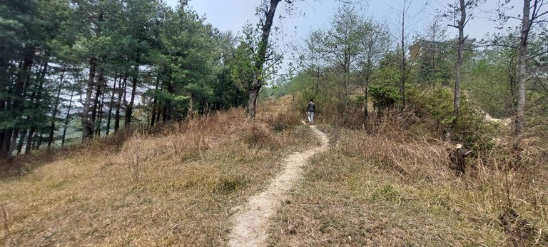
Within another kilometer, we have found the entrance of the Panoramic hiking trail on our left! If we go straight to the road would take us to our hotel but we would use the hilly way through the jungle and open places.
Let's find the alltrails Map of the trail below
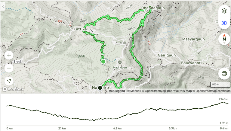
March to May might be the best time to do the trekking but we were not lucky enough to get a clear sky to watch the range of the Himalayas and to watch the mountain ranges you should visit in November/December.
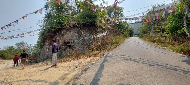
The Entrance!
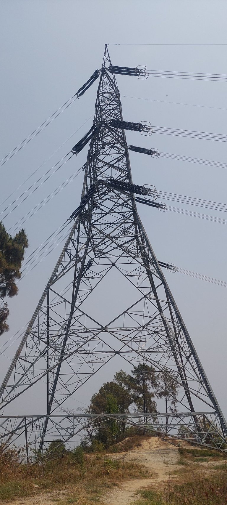
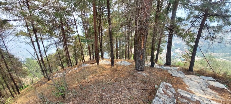
I really feel sad whenever I see any artificial things around nature! There might not be a better way to distribute energy; I just express my opinion!
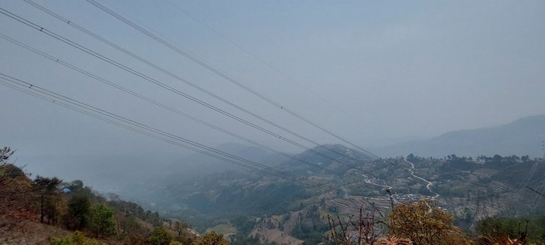
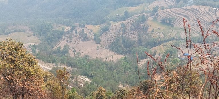
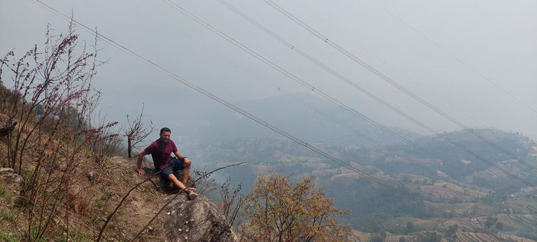
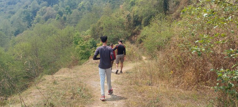
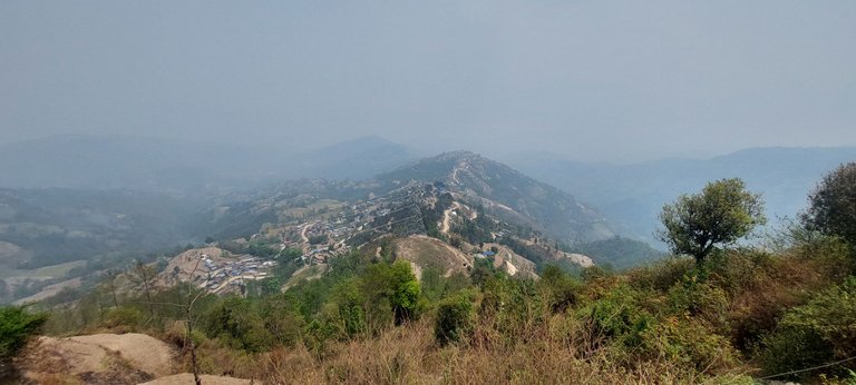
The Art! Hills wave miles after miles; a dron could bring better views!
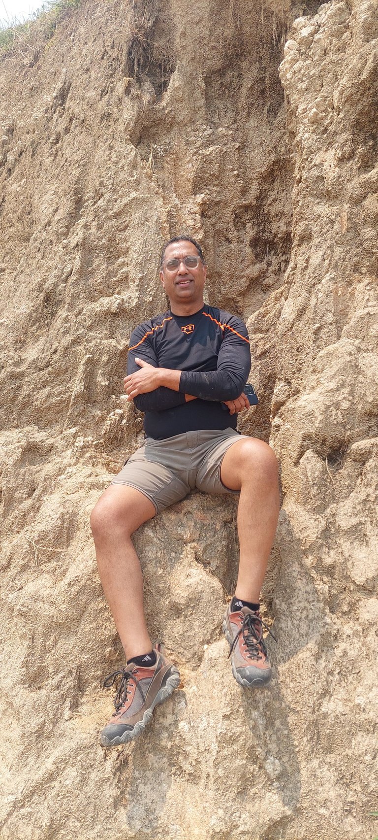
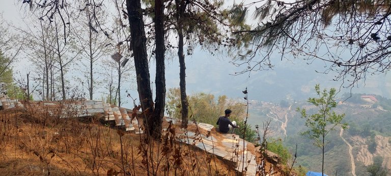
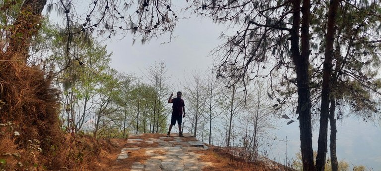
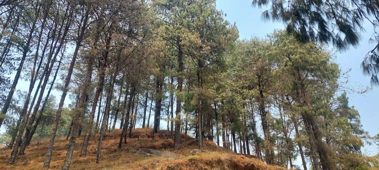
The Final Step!
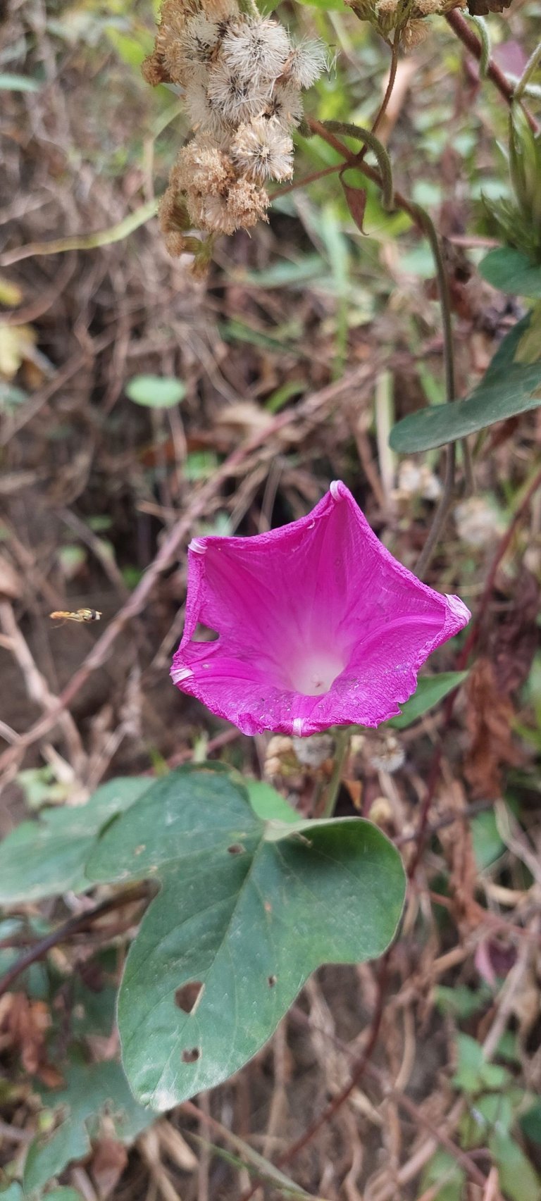
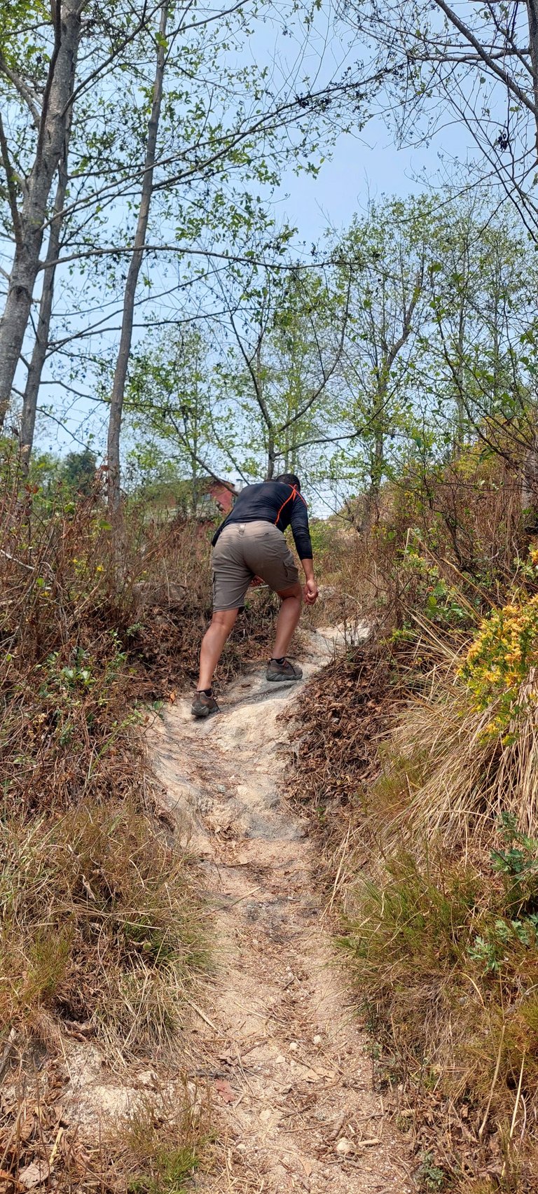
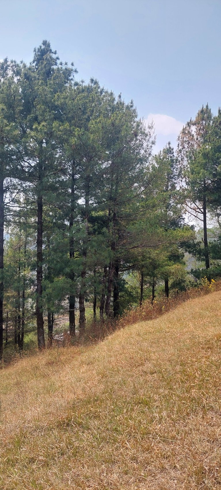
We have seen so many beautiful jungle flower on the way, few birds and animal in the distance. The altitude didn’t hurt our breathing but the final 500 steps was bit difficult as that time we climbed only.
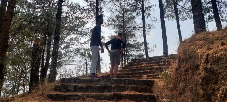
It is already difficult for us and we have to climb up about 300 meters! Thanks to the locals, many steps are made of stone.
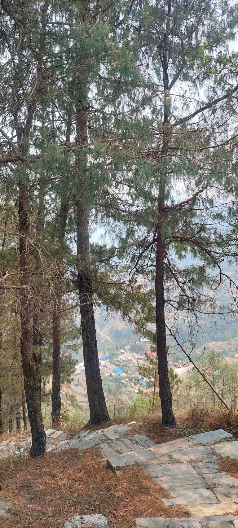
Look at the valley below! We are just halfway to the peak where we would find the highway to the hotel. The path was basically in the middle of the hills, they made the muddy way in between! We found there are works in progress except for the place through the jungle.
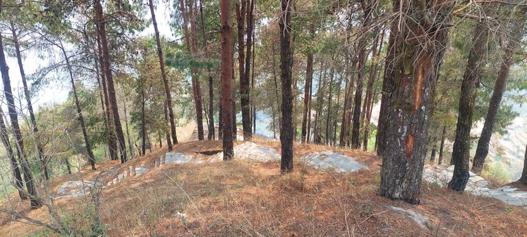
Our panaromic hiking laste between 10:40-12:20 and it must have taken more time if the weather was clear. We couldn't able to see any mountain range farther. If you lucky enough you could point the highest peak which is Mount Everest during the hike but you have to visite while the sky is clear.
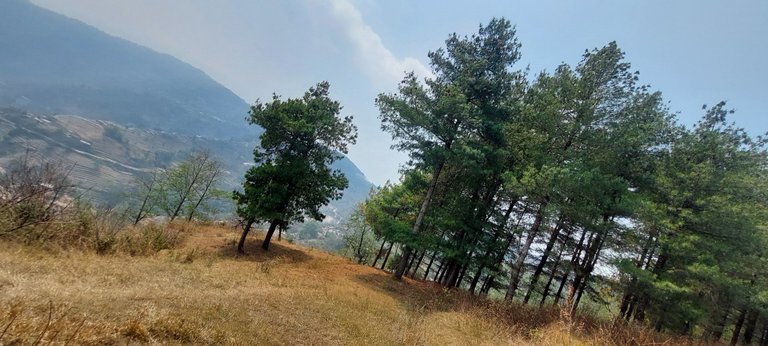
It was indeed a very memorable hiking out of my country, will remember this for a while.
Let's say bye for today!
Thank you for your time.
Congratulations, your post has been added to the TravelFeed Map! 🎉🥳🌴
Did you know you have your own profile map?
And every post has their own map too!
Want to have your post on the map too?
- Go to TravelFeed Map
- Click the create pin button
- Drag the marker to where your post should be. Zoom in if needed or use the search bar (top right).
- Copy and paste the generated code in your post (any Hive frontend)
- Or login with Hive Keychain or Hivesigner and click "create post" to post to Hive directly from TravelFeed
- Congrats, your post is now on the map!
PS: You can import your previous Pinmapple posts to the TravelFeed map.Opt Out
Congratulations, your post has been added to WorldMapPin! 🎉
Did you know you have your own profile map?
And every post has their own map too!
Want to have your post on the map too?
Congratulations @mustavi! Your post brought a smile to the TravelFeed team so we have sent you a smiley. Keep up the good job. 🙂
Thanks for using TravelFeed!
@for91days (TravelFeed team)
PS: Did you know that we have our own Hive frontend at TravelFeed.com? For your next travel post, log in to TravelFeed with Hive Keychain or Hivesigner and take advantage of our exclusive features for travel bloggers.
Thank you for the smile.