[ENG]
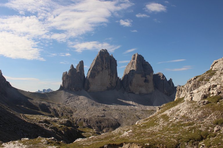
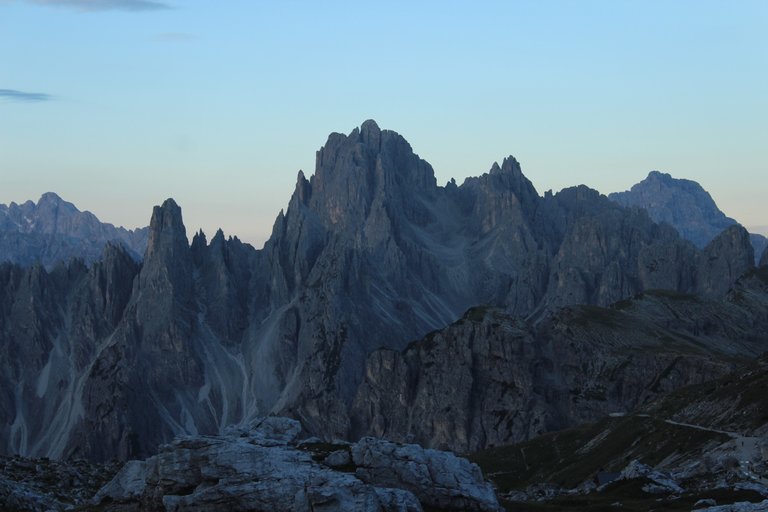
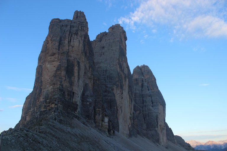
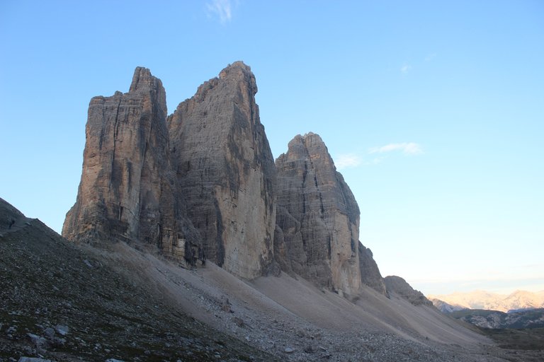
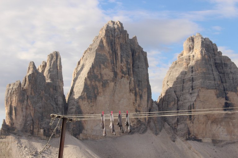
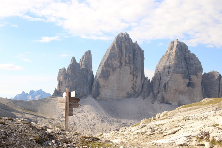
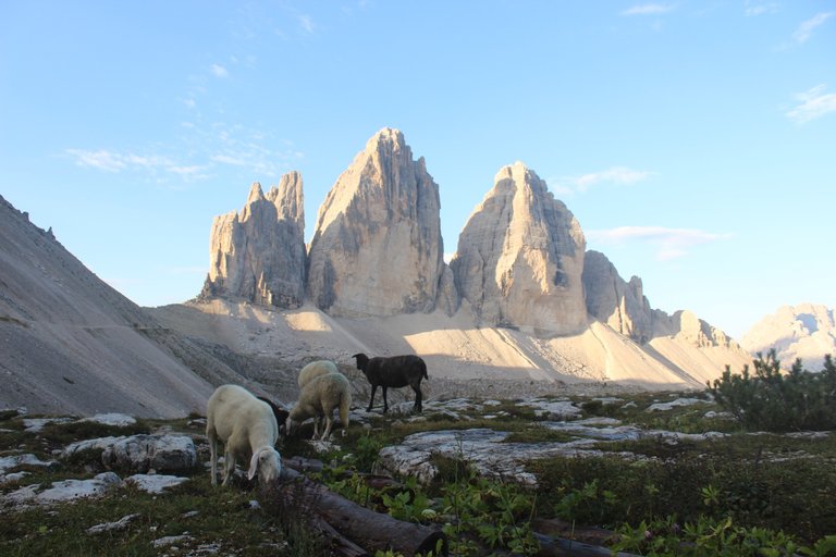
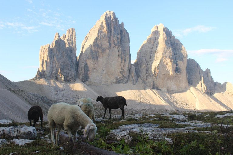
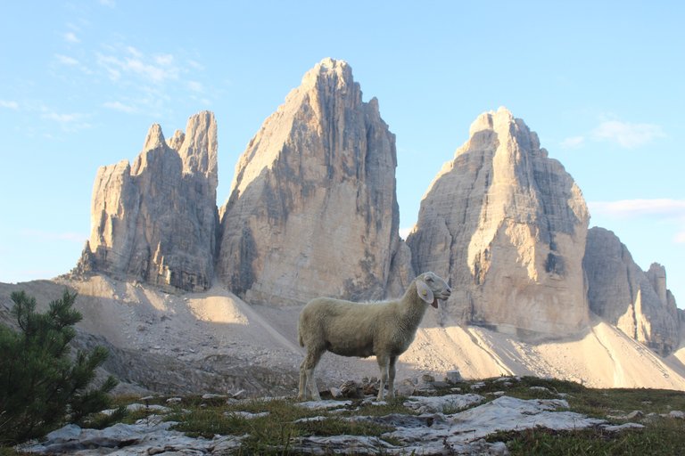
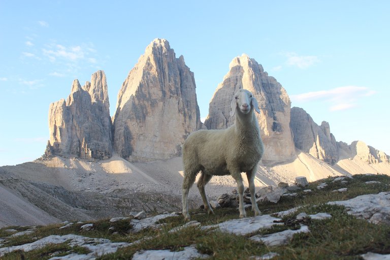
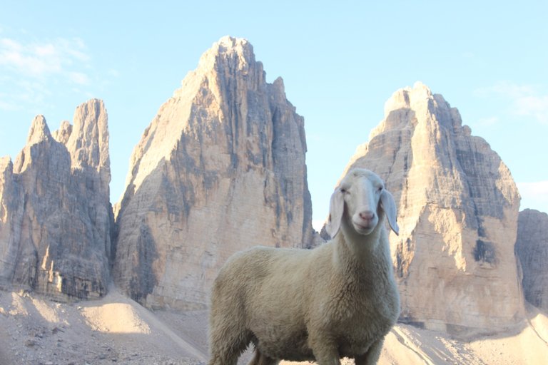
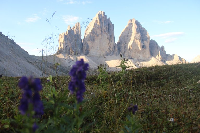
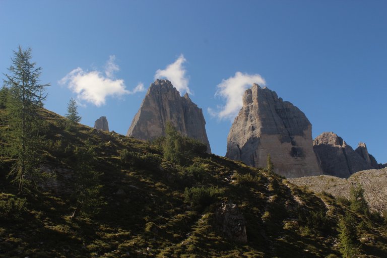
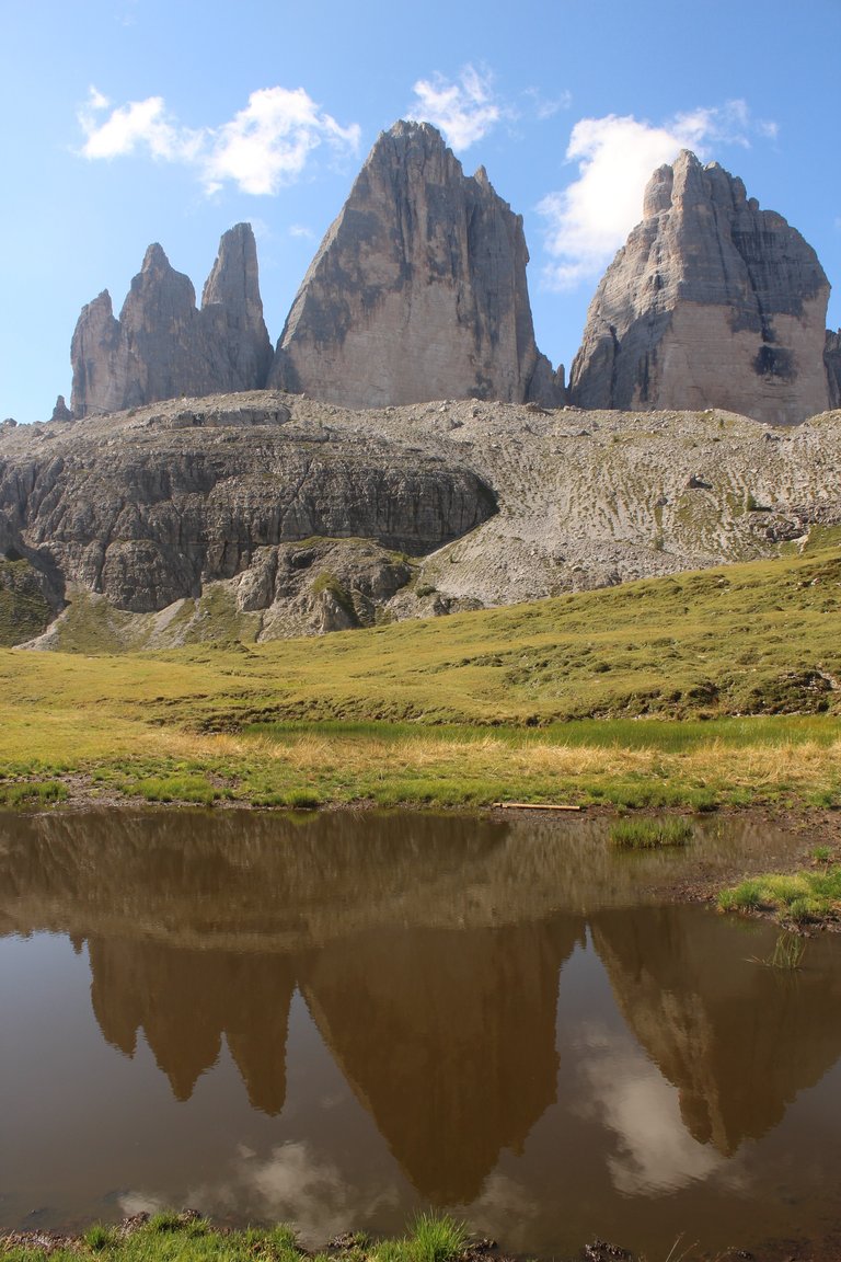
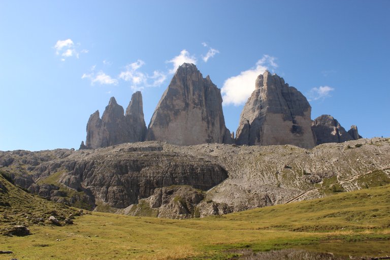
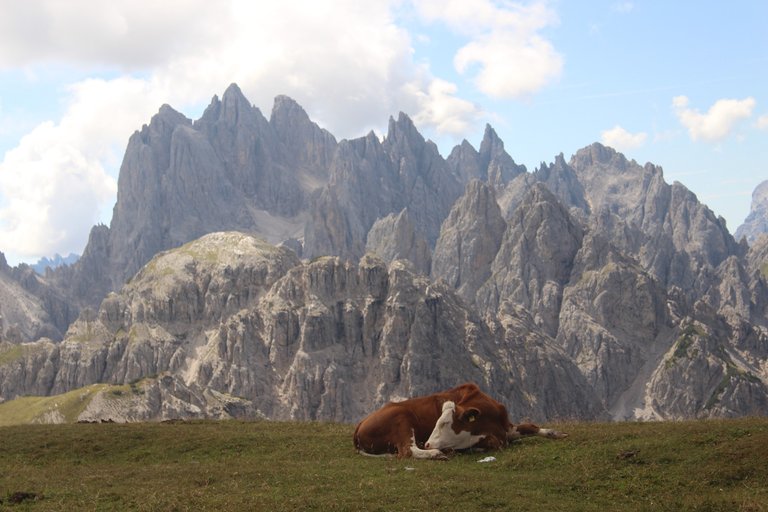
The Dolomites are very high on my personal list of places worth visiting and I have often planned to go to that corner of Europe, but something always got in the way. It was only at the end of this year that I managed to do this dream trekking with Agatka. The goal of our first expedition was probably the most famous and most picturesque peak in the entire mountain range, Tre Cime.
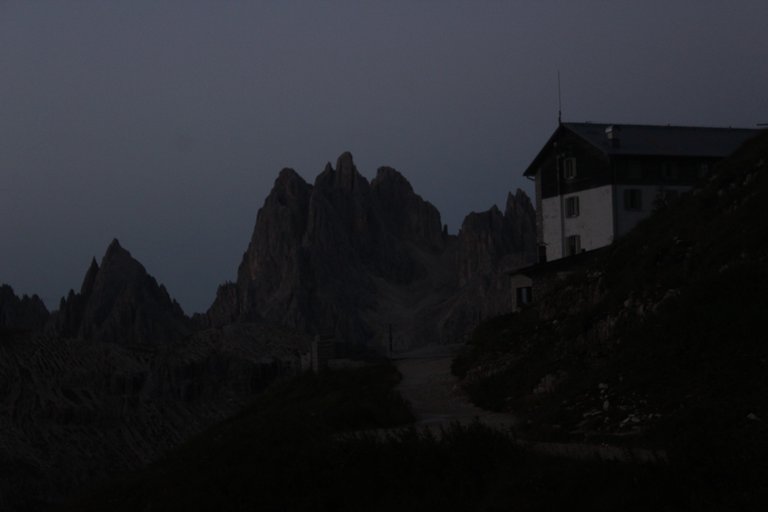
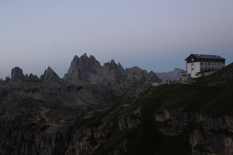
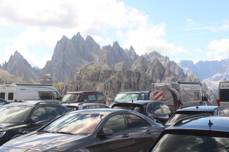
The original plan was to go to the town of Innechen, leave the car there in a free parking lot, and on the day of the expedition, we would board a not very expensive bus and go to the mountains to the place where the trekking began. The plan was beautiful, but unfortunately the reality turned out to be brutal. All seats on the morning buses were already sold out. The emergency plans were such that we could go to the foot of the mountain, leave the car at the lake and do a very long trek, which would certainly take us all day and cost a lot of health, or pay 30 euros and go by car a few more kilometers to the mountain and stop in the large parking lot next to the Rifugio Auronzo shelter. It turned out that the second option was definitely more popular among European tourists, because even though it was late in the evening, the parking lot was literally bursting at the seams. After a quiet night spent in the parking lot, before sunrise, we set off for an approximately ten-kilometer walk around the three monumental peaks of Tre Cime.
[PL]
Na mojej prywatnej liście miejsc, które warto odwiedzić Dolomity zajmują bardzo wysokie miejsce i wielokrotnie planowałem aby udać się w tamten zakątek Europy, ale zawsze cos stało na przeszkodzie. Dopiero podczas końcówki tegorocznego lata udało mi się z Agatką zrobić te wymarzone trekkingi. Jako cel naszej pierwszej wyprawy obraliśmy chyba najbardziej słynny i najbardziej malowniczy szczyt w całym paśmie górskim czyli Tre Cime.
Pierwotny plan zakładał, że udamy się do miasteczka Innichen, tam na darmowym parkingu zostawimy samochód, a w dniu wyprawy wsiądziemy do niezbyt drogiego autobusu i pojedziemy w góry w miejsce gdzie zaczyna się trekking. Plan był piękny, ale niestety rzeczywistość okazała się brutalna. Wszystkie miejsca w porannych autobusach były już wyprzedane. Plany awaryjne były takie, że mogliśmy pojechać do podnóża góry zostawiać samochód przy jeziorze i zrobić sobie bardzo długi trekking, który z całą pewnością zająłby nam cały dzień i kosztował dużo zdrowia, lub zapłacić 30 euro i pojechać autem jeszcze kilka kilometrów do góry i zatrzymać się na dużym parkingu przy schronisku Rifugio Auronzo. Okazało się, że ta druga opcja jest zdecydowanie bardziej popularna wśród europejskich turystów, bo mimo że było już późno wieczorem to parking dosłownie pękał w szwach. Po spokojnej nocy spędzonej na parkingu jeszcze przed wschodem słońca ruszyliśmy na około dziesięcio-kilometrowy spacer wokół trzech monumentalnych szczytów Tre Cime.
[ENG]
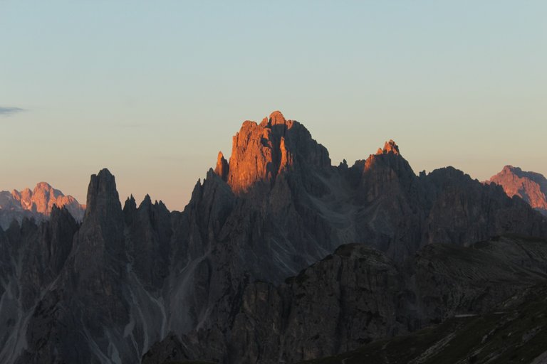
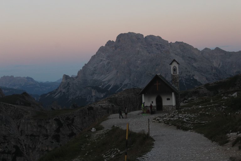
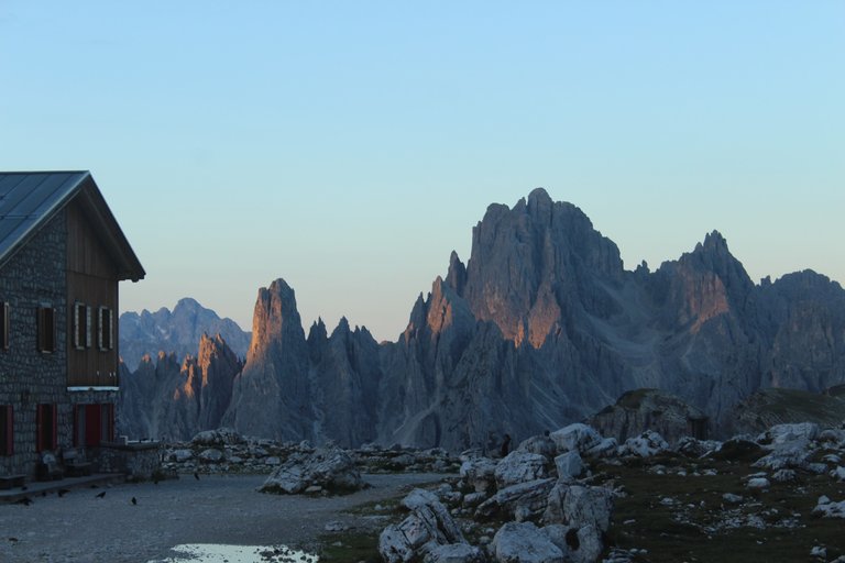
The first stop awaited us after approximately 15 minutes of walking. Right next to the path there was a very nice chapel called Cappella degli Alpini. Luck was on our side, because at that moment the first rays of the rising sun began to illuminate the peaks constituting the background of the chapel. A fairy-tale view.
[PL]
Pierwszy przystanek czekał nas już mniej więcej po około 15 minutach marszu. Tuz przy ścieżce stała bardzo ładna kapliczka Cappella degli Alpini. Szczęście sprzyjało, bo akurat w tym momencie pierwsze promienie wschodzącego słońca zaczęły oświetlać szczyty stanowiące tło kapliczki. Bajkowy widok.
[ENG]
After another 15 minutes of walking, we reached Rifugio Lavaredo, which, unfortunately, was still closed and the only thing we could do there was use the toilet. From the shelter, you just had to walk up about 100 meters and you would reach one of the most famous viewpoints of the Tre Cime peak. The viewpoint is called Forcella Lavaredo and if I remember correctly it was the highest point during the entire trekking, rising to about 2,450 meters above sea level.
[PL]
Po kolejnych 15 minutach spaceru dotarliśmy do Rifugio Lavaredo, które niestety było jeszcze zamknięte i jedno co mogliśmy w nim zrobić to skorzystać z WC. Ze schroniska wystarczyło podejść jakieś 100 metrów w górę i docierało się do jednego z najbardziej słynnych punktów widokowych na szczyt Tre Cime. Punkt widokowy nazywa się Forcella Lavaredo i jeśli dobrze się orientuje był najwyższym punktem podczas całego trekkingu wznoszącym się na około 2450 metrów nad poziomem morza.
[ENG]
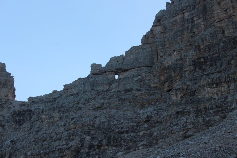
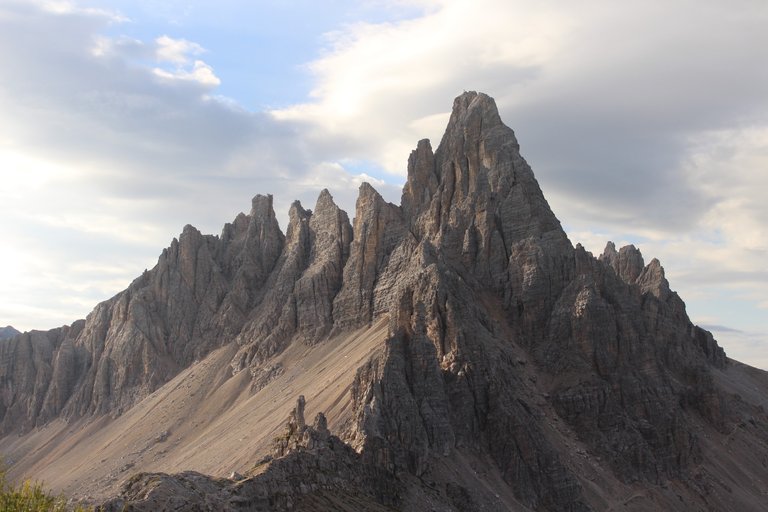
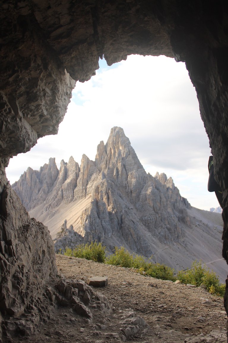
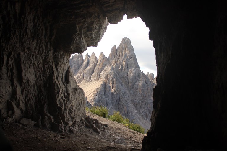
Later, a gentle descent awaited us to the next shelter, Dreizinnenhütte, next to which, in a very close distance, there were amazing caves artificially carved into the rock called Grotta delle Tre Cime. These caves served as protection for Italian soldiers fighting in the Dolomites during the war. We took a break in these caves for a small meal and a very long photo session, because the place was incredibly photogenic.
[PL]
Później czekało na nas delikatne zejście do kolejnego schroniska Dreizinnenhütte, obok którego w bardzo bliskiej odległości były niesamowite sztucznie wyryte w skale jaskinie zwane Grotta delle Tre Cime. Groty te pełniły funkcje ochronne dla włoskich żołnierzy walczących w dolomitach w okresie wojny. W tych jaskiniach zrobiliśmy sobie chwile przerwy na drobny posiłek oraz bardzo długą sesje zdjęciową, no bo przecież miejsce było niesamowicie fotogeniczne.
[ENG]
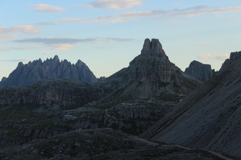
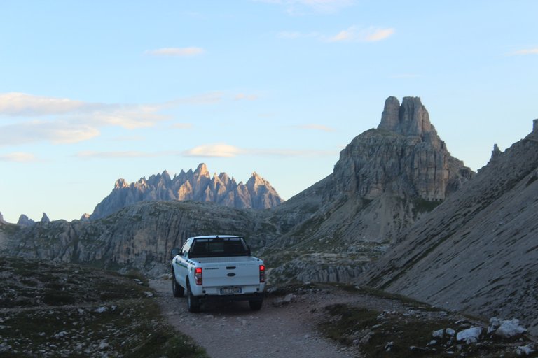
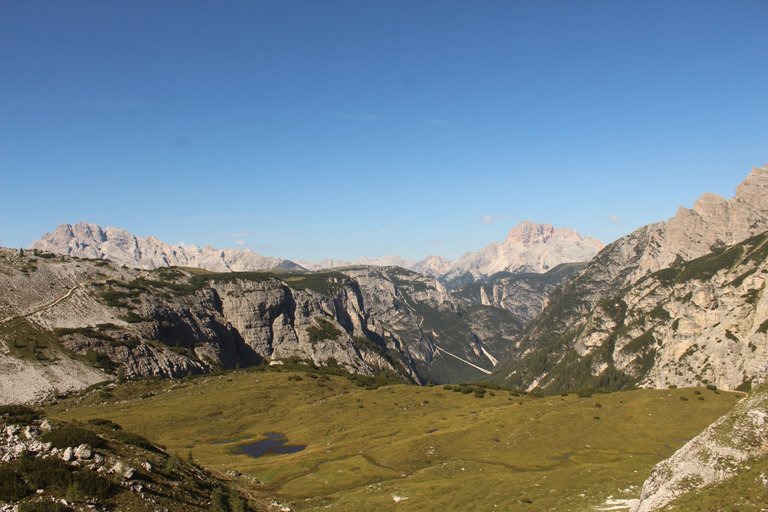
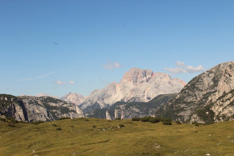
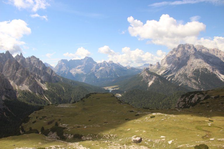
After leaving Grotta delle Tre Cime, we had another descent to a very nice clearing with lakes. Unfortunately, there was not much water in the lakes, so the entire landscape lost much of its charm. Next, we had a short ascent to the Malga Langalm shelter, and after about 30 minutes, we returned to the car parking lot after circling the entire mountain. The route took us about 5 hours, but it must be honestly admitted that we took a lot of breaks and the pace was truly recreational. If we were more mobilized, we would probably be able to complete the entire trek in 2 and a half hours, but the question is why? Why rush when the views around are so beautiful.
[PL]
Po wyjściu z Grotta delle Tre Cime czekało nas kolejne zejście na bardzo ładną polankę z jeziorkami. Niestety wody w jeziorkach nie było zbyt wiele wody przez co nie cały krajobraz stracił dużo uroku. W dalszej kolejności znów czekało nas małe podejście do schroniska Malga Langalm, a z niego po około 30 minutach okrążając całą górę wróciliśmy na parking samochodowy. Trasa zajęła nam około 5 godzin, ale trzeba uczciwie przyznać, że robiliśmy sobie bardzo dużo przerw a tempo było iście rekreacyjne. Zapewne przy większej mobilizacji udałoby się nam przejść cały trekking w 2 i pół godziny, ale pytanie po co ? Po co się śpieszyć, gdy widoki dookoła są takie piękne.

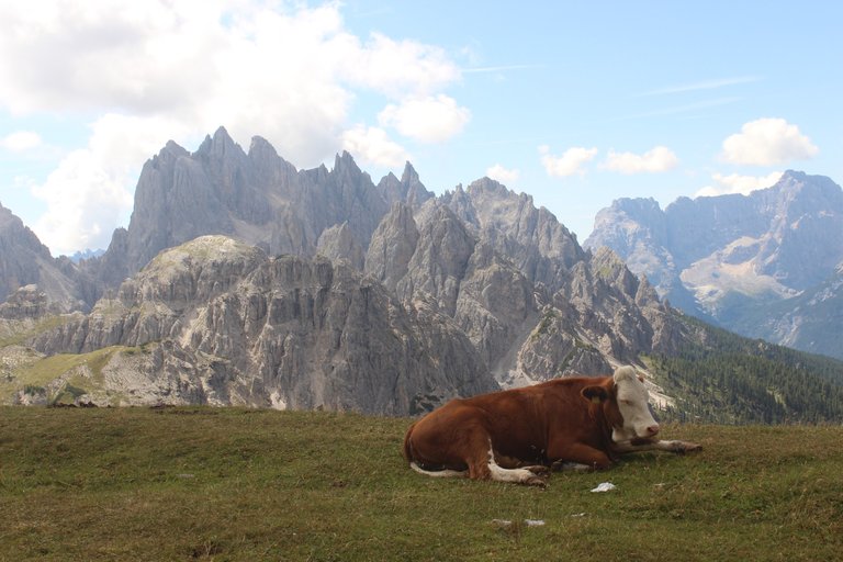
Wow, beautiful place, the mountain range is jus like a form of art. It's beautiful. Thank you for sharing @olusiu
Congratulations, your post has been added to Pinmapple! 🎉🥳🍍
Did you know you have your own profile map?
And every post has their own map too!
Want to have your post on the map too?
Travel Digest #2022.
Become part of our travel community:
- Join our Discord
Hiya, @ybanezkim26 here, just swinging by to let you know that this post made it into our Top 3 in Your post has been manually curated by the @pinmapple team. If you like what we're doing, please drop by to check out all the rest of today's great posts and consider supporting other authors like yourself and us so we can keep the project going!Congratulations @olusiu! You received the biggest smile and some love from TravelFeed! Keep up the amazing blog. 😍 Your post was also chosen as top pick of the day and is now featured on the TravelFeed.io front page.
Thanks for using TravelFeed!
@invisusmundi (TravelFeed team)
PS: TravelFeed is in social media to reach more people, follow us on Facebook, Instagram, and Twitter.