[ENG]
In the last few years, tourism in the Polish Tatras has become so popular that in order to use mountain shelters, you have to make a reservation in advance, and this many months before the planned trip. Last winter, we were at Morskie Oko and took advantage of the opportunity to book a night in a local shelter. There would be nothing strange about it, if not for the fact that we made the reservations almost a year in advance, so when it comes to hitting good weather conditions on this particular weekend, we could only count on luck, and it was just that we were lucky. It was clear from Wednesday that this particular weekend would be exceptionally sunny and would fully meet all the requirements to be called the weekend of the Golden Polish Autumn. That is why we set off with enthusiasm to the Tatras for three days of walking in the mountains that we had not visited before, and the first of them was Jarząbczy Wierch.
[PL]
W ostatnich kilku latach turystyka w Polskich Tatrach stała się tak popularna, że aby skorzystać ze schronisk górskich trzeba zrobić wcześniejszą rezerwacje i to na wiele miesięcy przed planowanym wyjazdem. Poprzedniej zimy byliśmy nad Morskim Okiem i korzystając z okazji zarezerwowaliśmy sobie nocleg w tamtejszym schronisku. Nie byłoby w tym nic dziwnego, gdyby nie fakt, że rezerwacje zrobiliśmy z niemal rocznym wyprzedzeniem, wiec jeśli chodzi o trafienie w dobre warunki pogodowe w ten akurat jeden konkretny weekend to mogliśmy liczyć wyłącznie na szczęście i ono właśnie nam dopisało. Już od środy było jasne, że ten akurat weekend będzie wyjątkowo pogodny i w zupełności spełni wszystkie wymogi aby móc go określić jako weekend Złotej Polskiej Jesieni. Dlatego też z entuzjazmem ruszyliśmy w Tatry na trzy dni chodzenia po tamtejszych do tej pory nie odwiedzonych jeszcze górach, a pierwszy z nich to był Jarząbczy Wierch.
[ENG]
The mountain is 2137 meters above sea level and to get there it is best to start your hike from the car park at the entrance to the Chochołowska Valley, more precisely on Siwa Polana. At that time, there are 10.5 kilometers to the peak and 1350 meters to climb vertically. Tourist maps suggest that such a hike up should take about 5 hours, while you should set aside 4 hours for the descent. As it is already late autumn, the day is not very long, so in order not to return to the parking lot after sunset, we had to set off on the trail very early. Unfortunately, this had its consequences. At that time, the perceived temperature was very low, so we covered the first flat stage of our hike from Siwa Polana to Polana Trzydniówka, which is 5 kilometers long, in less than an hour. The pace provided us with an adequate warm-up. A much better warm-up awaited us on the next section leading to Trzydniowiański Wierch. That section consisted of walking 2 kilometers and simultaneously overcoming 650 meters of ascent, so it really gave us a hard time. Fortunately, after the first 300-400 meters of ascent through the forest, we came out into areas overgrown with dwarf pine, from which a beautiful panorama of the surrounding area spread out. Thanks to this, walking was much more brisk and without even realizing it, we reached Kończysty Wierch and thus crossed the magical barrier of 2000 meters above sea level, or to be precise 2002 meters. Kończysty Wierch was wonderful, because on its gently sloping slopes grew soft grass, on which in the rays of the morning sun we took a few minutes of regeneration break. The break was all the more necessary because next we were to go along the red trail to Jarząbczy Wierch (2137 m above sea level). When we reached our destination, it turned out that we were there a dozen or so minutes ahead of time (counting the time according to the data provided on the tourist map), so the idea came to us to do something else, something extra. A few hundred meters from Jarząbczy Wierch there was another higher peak, and it was Jakubina, 2194 meters above sea level, so we set off for it. This mountain was definitely different from the previous ones, because its peak was not covered with soft grass, but consisted almost exclusively of rocks. For this reason, we did not stay on Jakubien for too long, but after taking a series of souvenir photos, we started to return towards Kończysty Wierch to lie for a while on its soft grass again. We made it down to the Chochołowska Valley in a bit longer time than the map indicated, but that was only because the steep descent from Trzydniowiański Wierch really kicked our asses.
[PL]
Góra ta liczy sobie wysokość 2137 metrów nad poziomem morza i aby się do niej dostać najlepiej jest zacząć swoją wędrówkę od parkingu samochodowego przy wejściu do Doliny Chochołowskiej, a dokładniej na Siwej Polanie. Wówczas od szczytu dzieli nas 10,5 kilometra i 1350 metrów do przejścia w pionie. Mapy turystyczne podpowiadają że taka 1)wędrówka do góry powinna zająć około 5 godzin, natomiast na zejście należy zarezerwować sobie 4 godziny. Jako, że jest już późna jesień to dzień nie jest zbyt długi, więc aby nie wracać do parkingu już po zachodzie słońca musieliśmy wyjść na szlak bardzo wcześnie. Niestety miało to swoje konsekwencje. Wówczas odczuwalna temperatura była bardzo niska dlatego pierwszy płaski etap naszej wędrówki od Siwej Polany do Polany Trzydniówki liczący 5 kilometrów pokonaliśmy w niecałą godzinę. Tempo zapewniło nam odpowiednią rozgrzewkę. Dużo lepsza rozgrzewka czekała na nas na kolejnym odcinku prowadzącym na Trzydniowiański Wierch. Tamten odcinek polegał na przejściu 2 kilometrów i jednoczesnym pokonaniu 650 metrów podejścia więc dał nam naprawdę mocno w kość. Całe szczęście po pierwszych 300 – 400 metrach podejścia przez las, wyszliśmy na tereny porośnięte kosodrzewiną, z których to już rozpościerała się piękna panorama na okolicę. Dzięki temu szło się już dużo raźniej i nawet nie wiedząc kiedy doszliśmy na Kończysty Wierch i tym samym przekroczyliśmy magiczna barierę 2000 metrów nad poziomem morza, a dokładnie 2002 metrów. Kończysty Wierch był cudowny, ponieważ na jego łagodnie opadających zboczach rosła mięciutka trawka, na której w promieniach przedpołudniowego słońca zrobiliśmy sobie kilka minut przerwy regeneracyjnej. Przerwa była tym bardziej potrzebna, że w dalszej kolejności mieliśmy iść wzdłuż czerwonego szlaku na Jarząbczy Wierch (2137 m n.p.m.) Gdy doszliśmy do punktu docelowego okazało się, że jesteśmy u celu kilkanaście minut przed czasem (licząc czas zgodnie z danymi podawanymi na mapie turystycznej), dlatego pojawił się pomysł, aby zrobić coś jeszcze, cos nadprogramowego. W odległości kilkuset metrów od Jarząbczego Wierch znajdował się kolejny wyższy szczyt i była to Jakubina licząca 2194 metrów nad poziomem morza, więc ruszyliśmy na niego. Ta góra była już zdecydowanie inna od wcześniejszych, bo jej szczyt nie był porośnięty mięciutką trawka, tylko składał się niemal wyłącznie z skał. Z tego powodu na Jakubienie nie zasiedzieliśmy się za długo, tylko po zrobieniu sobie serii pamiątkowych zdjęć zaczęliśmy wracać w kierunku Kończystego Wierchu, aby znów poleżeć chwile na jego mięciutkiej trawie. Zejście do Doliny Chochołowskiej zrobiliśmy w czasie trochę dłuższym niż podawała to mapa, ale to tylko dlatego, że to strome zejście z Trzydniowiańskiego Wierchu dało nam naprawdę mocno w tyłki.
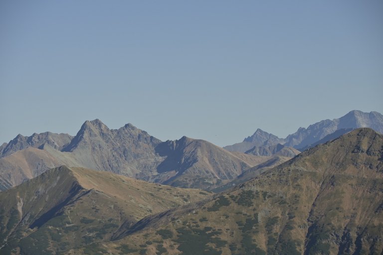
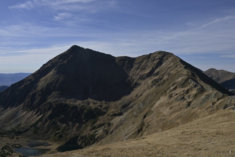
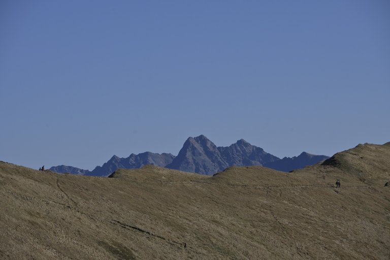
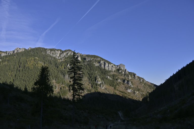
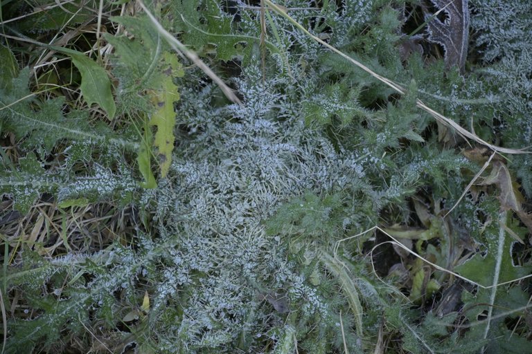
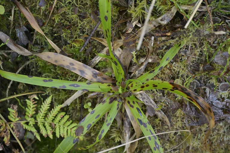
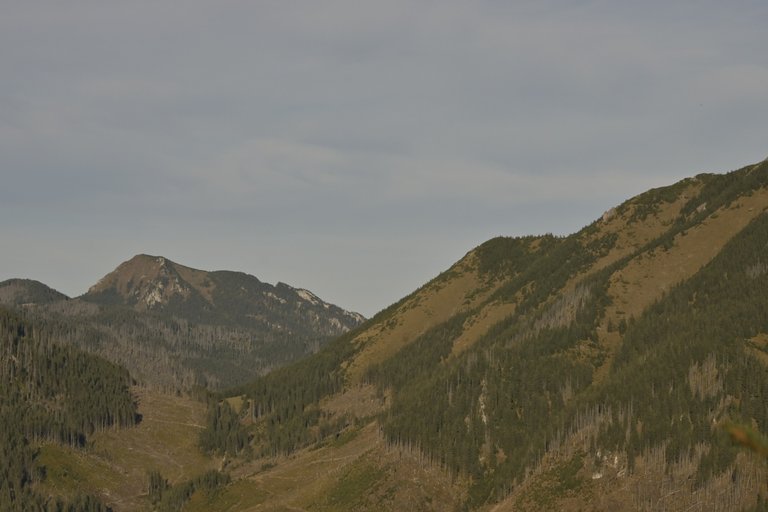
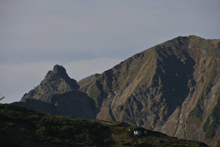
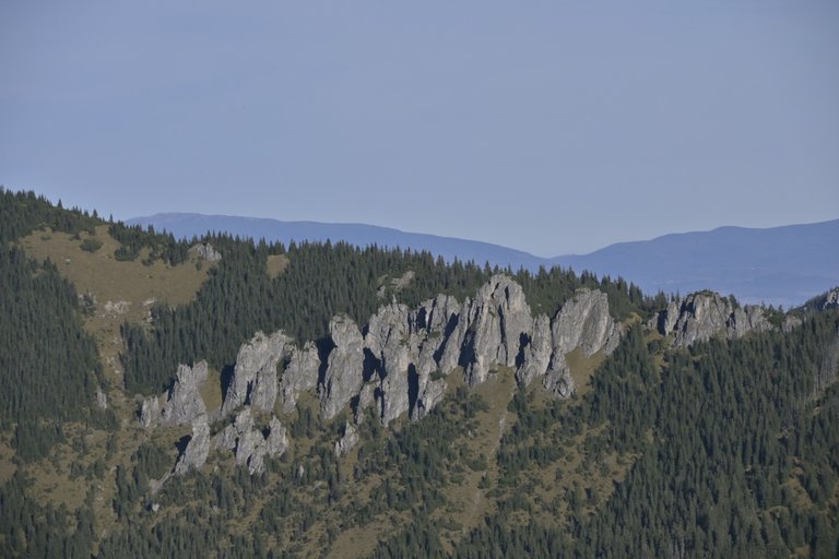
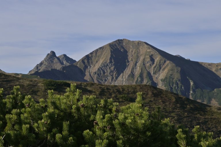
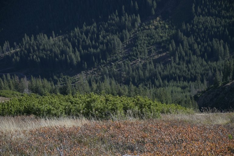
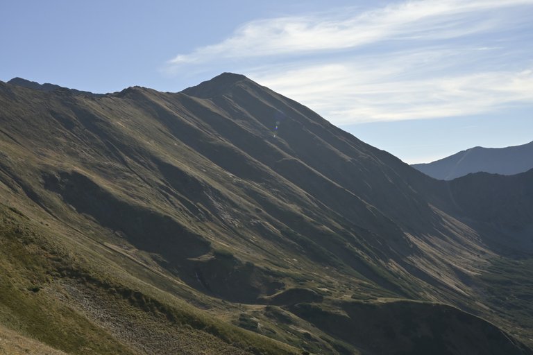
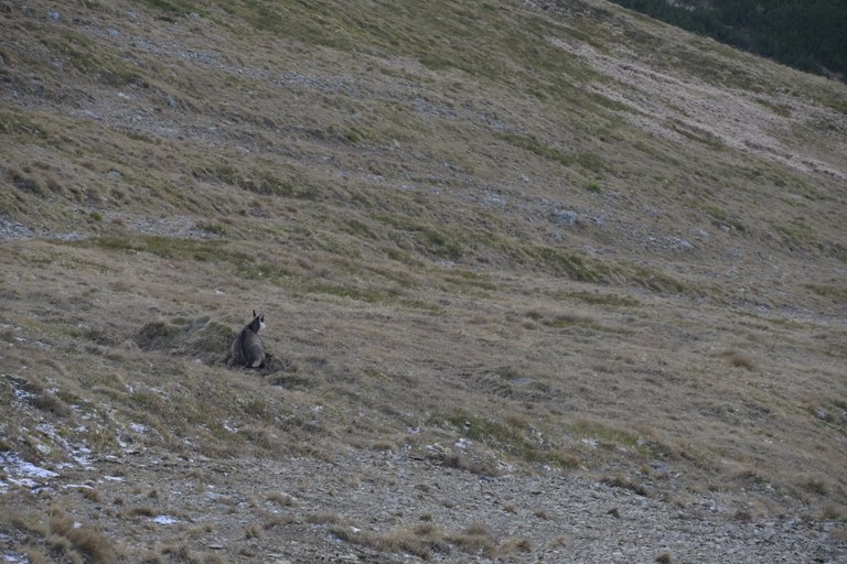
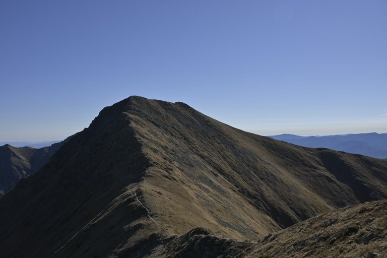
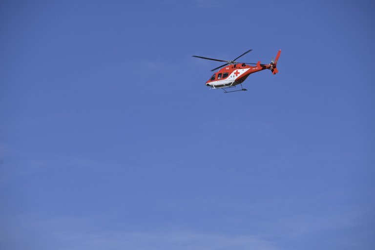
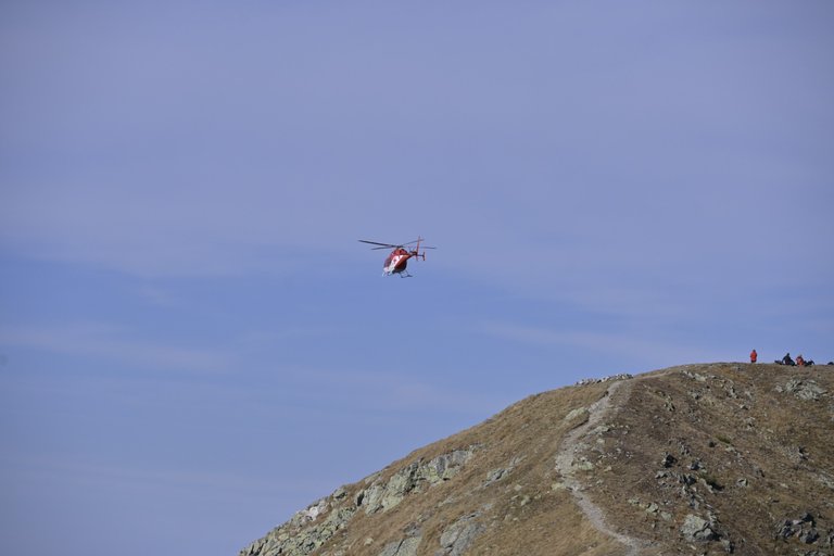
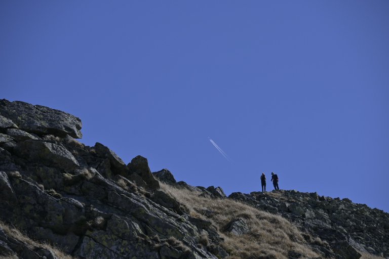
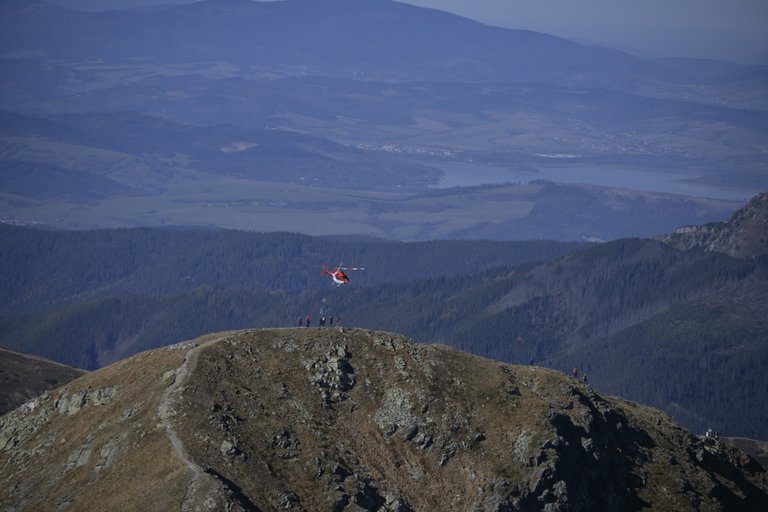
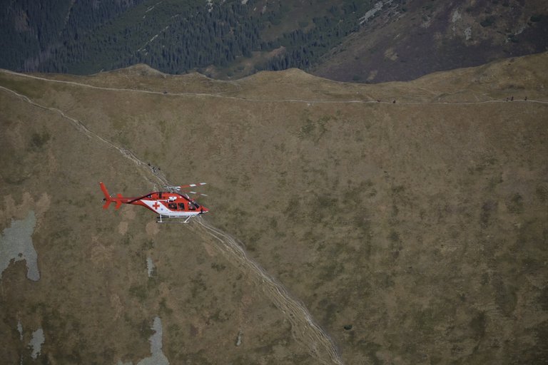
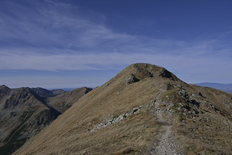
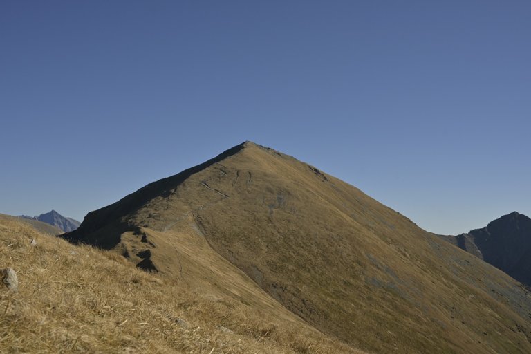
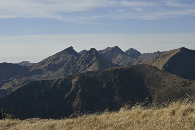
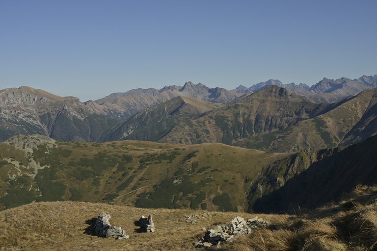
The third last picture looks really amazing. So much beauty there!
Your decision to extend the hike to Jakubina for a little extra thrill shows the spirit of exploration! The contrast between the grassy peaks and the rocky terrain up top must have felt surreal. And despite the steep descent, it sounds like the entire experience was well worth the effort. Looking forward to reading about more of your adventures in the Tatras! 🤗
So much beauty! I simply love this kind of scenery where nature captures your whole attention and detaches you from any daily routine and thoughts!
Congratulations @olusiu! You received the biggest smile and some love from TravelFeed! Keep up the amazing blog. 😍 Your post was also chosen as top pick of the day and is now featured on the TravelFeed front page.
Thanks for using TravelFeed!
@for91days (TravelFeed team)
PS: Why not share your blog posts to your family and friends with the convenient sharing buttons on TravelFeed?
Travel Digest #2363.
Become part of our travel community:
- Join our Discord
Hiya, @glecerioberto here, just swinging by to let you know that this post made it into our Honorable Mentions in Your post has been manually curated by the @worldmappin team. If you like what we're doing, please drop by to check out all the rest of today's great posts and consider supporting other authors like yourself and us so we can keep the project going!Congratulations, your post has been added to the TravelFeed Map! 🎉🥳🌴
Did you know you have your own profile map?
And every post has their own map too!
Want to have your post on the map too?
- Go to TravelFeed Map
- Click the create pin button
- Drag the marker to where your post should be. Zoom in if needed or use the search bar (top right).
- Copy and paste the generated code in your post (any Hive frontend)
- Or login with Hive Keychain or Hivesigner and click "create post" to post to Hive directly from TravelFeed
- Congrats, your post is now on the map!
PS: You can import your previous Pinmapple posts to the TravelFeed map.Opt Out
You can check out this post and your own profile on the map. Be part of the Worldmappin Community and join our Discord Channel to get in touch with other travelers, ask questions or just be updated on our latest features.
Hello olusiu!
It's nice to let you know that your article won 🥇 place.
kargul09 Your post is among the best articles voted 7 days ago by the @hive-lu | King Lucoin Curator by
You and your curator receive 0.0391 Lu (Lucoin) investment token and a 10.50% share of the reward from Daily Report 467. Additionally, you can also receive a unique LUGOLD token for taking 1st place. All you need to do is reblog this report of the day with your winnings.
Buy Lu on the Hive-Engine (Lucoin) and get paid. With 50 Lu in your wallet, you also become the curator of the @hive-lu which follows your upvote. exchange | World of Lu created by @szejq
STOPor to resume write a wordSTART