Nameste 🙏
We were strolling through the lush green meadows of Khobi and slowly gaining the elevation to get to the ridge above us. It was a long journey ahead of us and we were out of water.
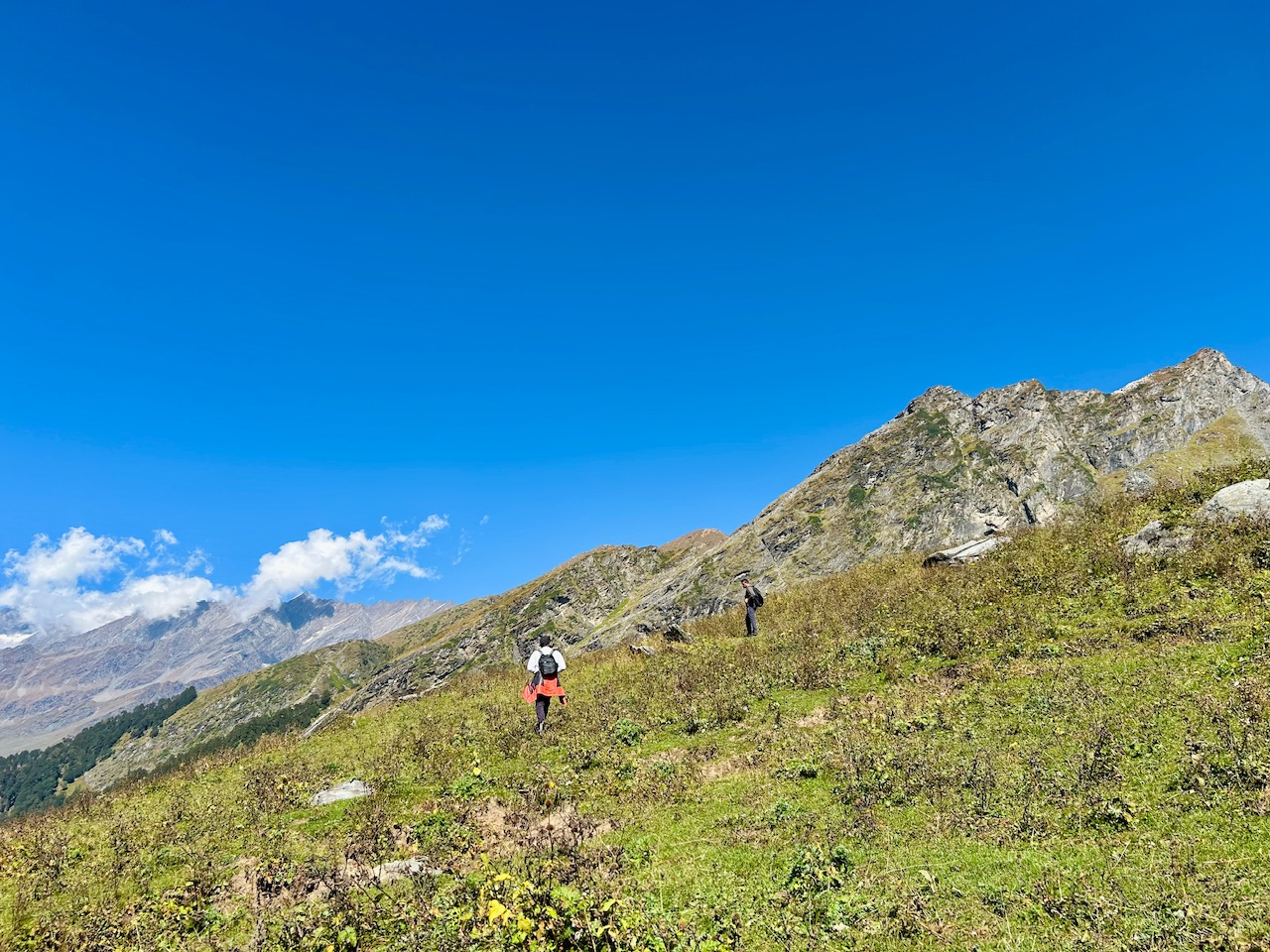
‘Gujjars’ at Shagadug told us about a water source southward below the meadows but we were looking for alternative sources as we didn’t wanted to go downwards and loose elevation that we gained after all these efforts.
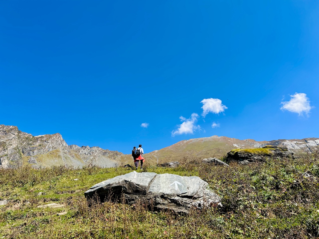
We were in the right track as we were still able to see the trail markers along the way. We thought that there definitely has to be water somewhere on the way.
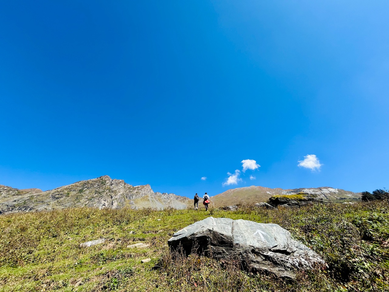
We met a hiker who was descending from the summit. He told us about the scarcity of water up there. He told us that there is a small stream which could contain water. We didn’t want to take any risks as we didn’t had any water left.
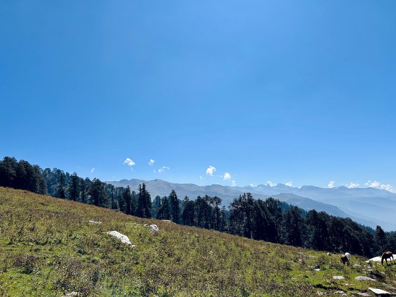
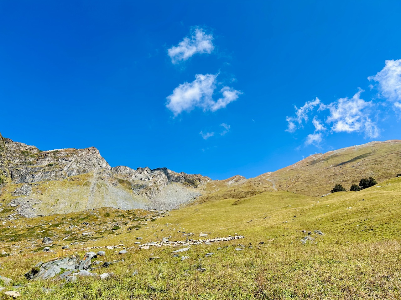
But we kept on walking along the trail because we saw some sheep up the mountain. We knew that the shepherds must have some water with them and they should be knowing about the water source there.
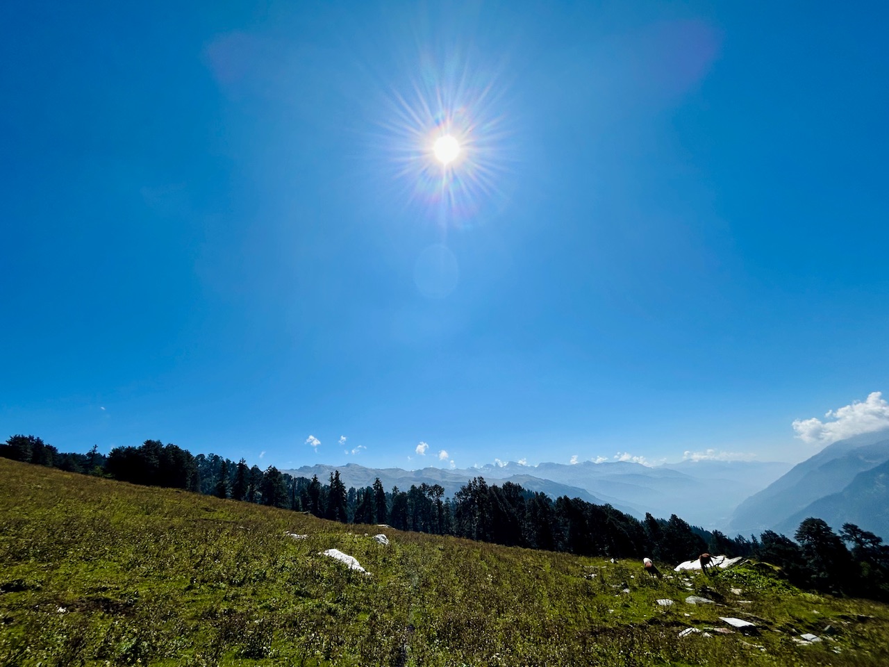
Now the clouds also started to show along the high hills of Dhauladhar and Pir Panjal ranges and so the peaks that previously were clearly visible were now slowly hiding behind those clouds.
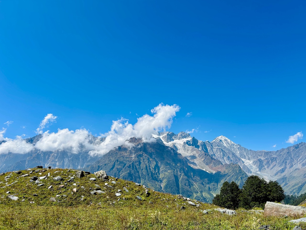
There were no signs of water when we saw up the trail. All we saw was the ridge that we needed to reach to see the summit.
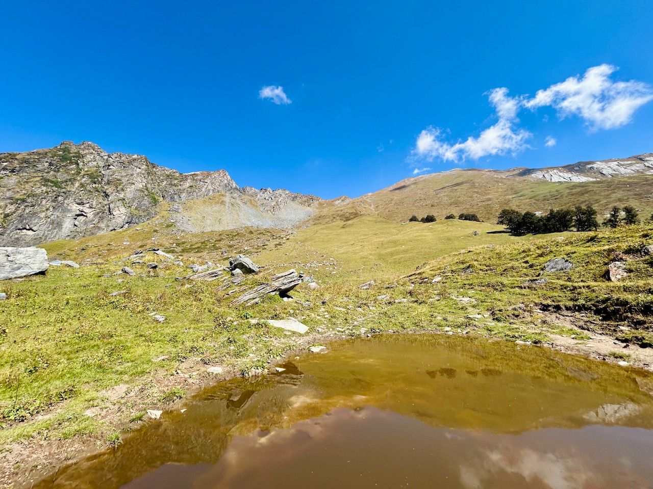
To our surprise, just after walking for a few minutes, we found a little pond. It looked like sheep and horses consumed water from it. However, the water didn’t look good for drinking.
Now we knew that we were close to the shepherds as we could see the fresh poop of sheep in the meadow.
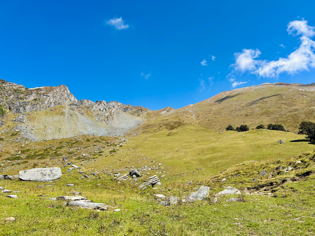
We kept on walking until we saw a huge herd of sheep hidden behind the rocks. We were stoked to see them.
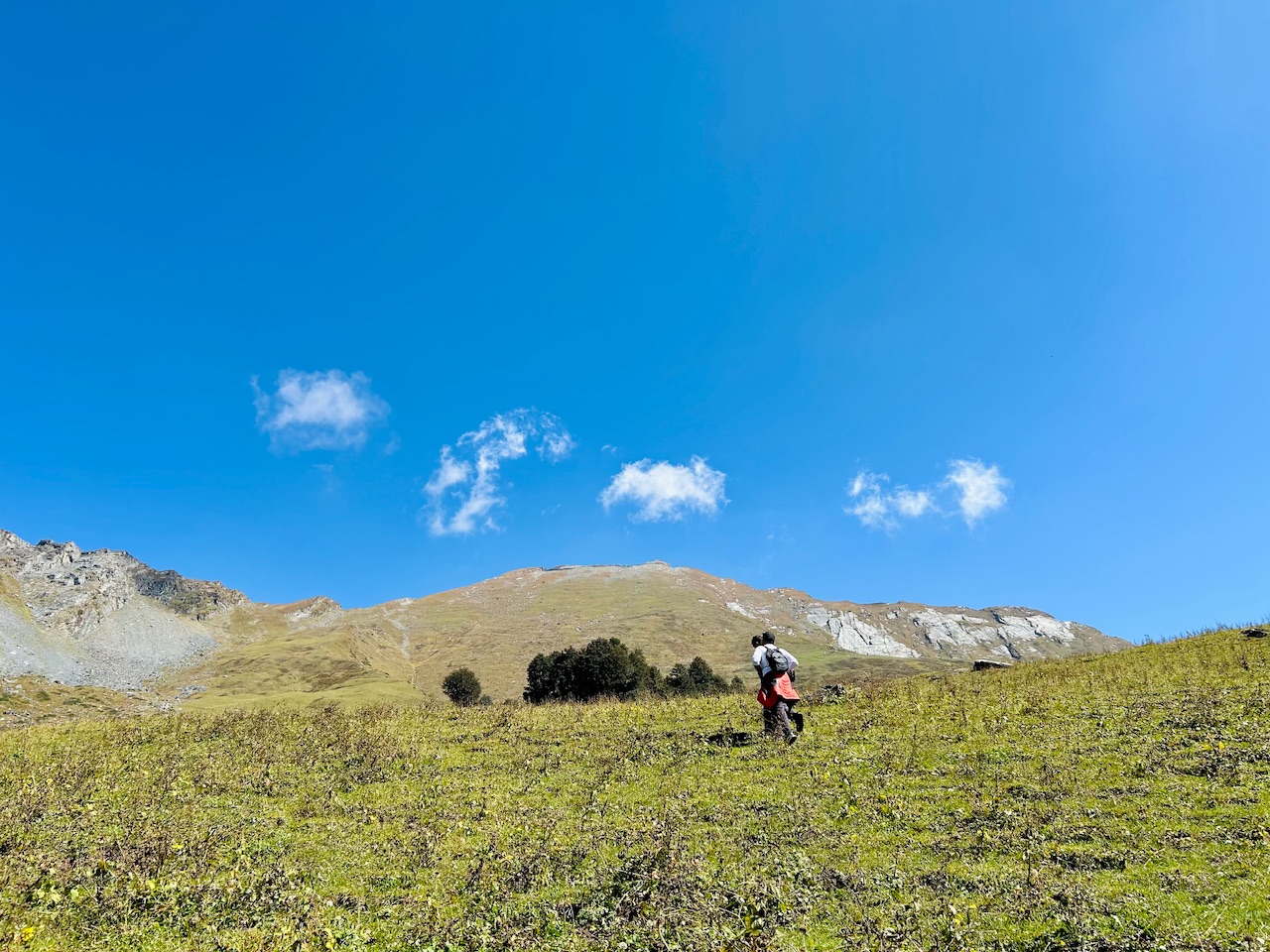
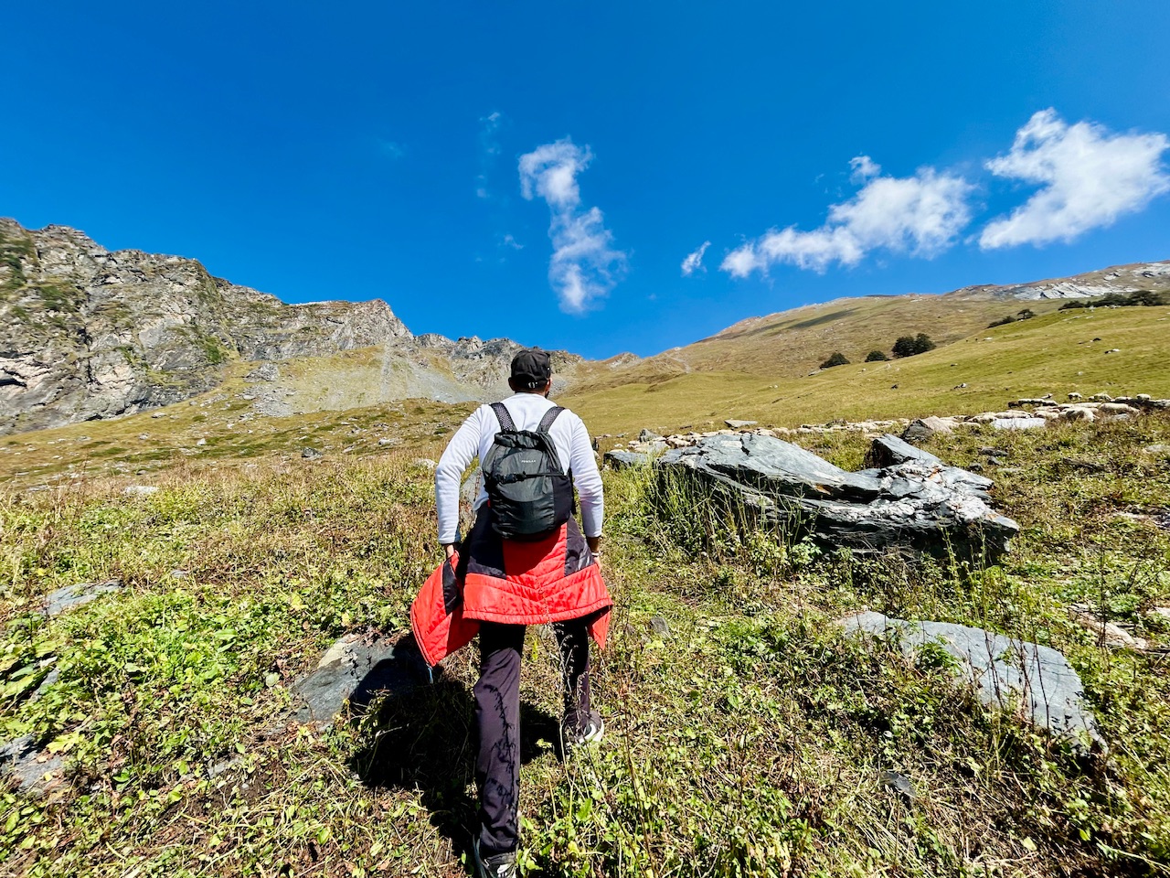
There were hundreds of sheep there but we were looking for the shepherds to get the water.
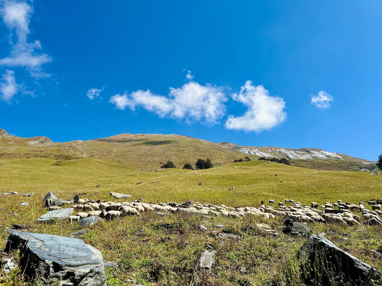
We found the shepherds who told us about the same source of water the Gujjars were talking about. They told us that they bought the water from there for themselves as there was no alternative.
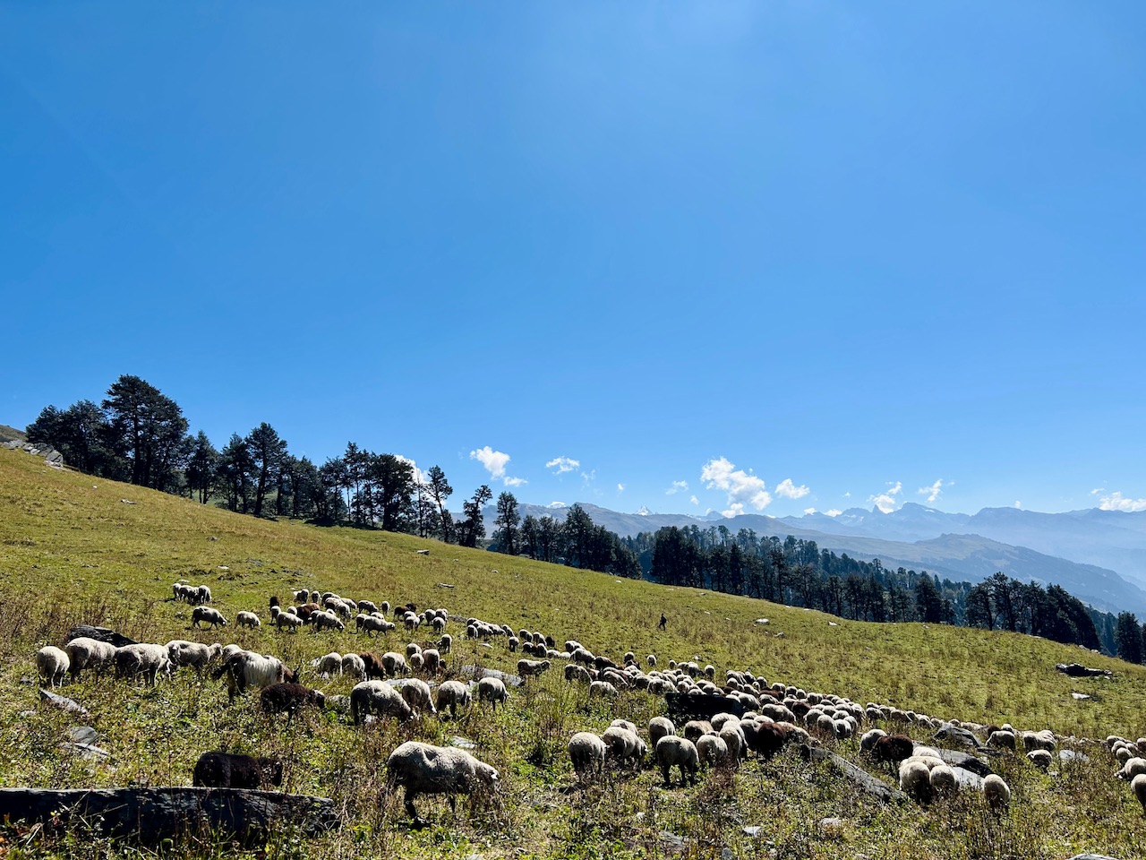
Now we knew that we were screwed. We needed to get down to that water source to fill up as there was no other option.
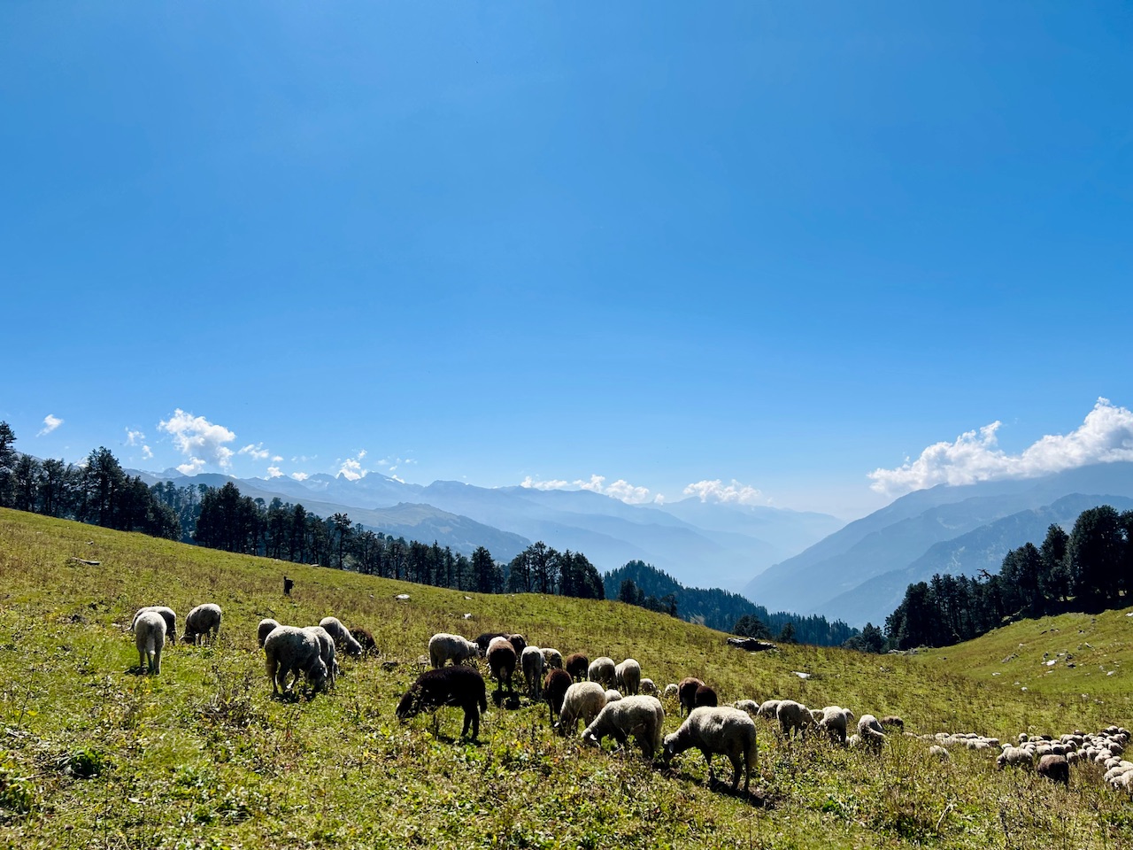
It was quite a long journey downhill as we needed to reach to the water stream that was not even visible from the place we were standing on at that time.
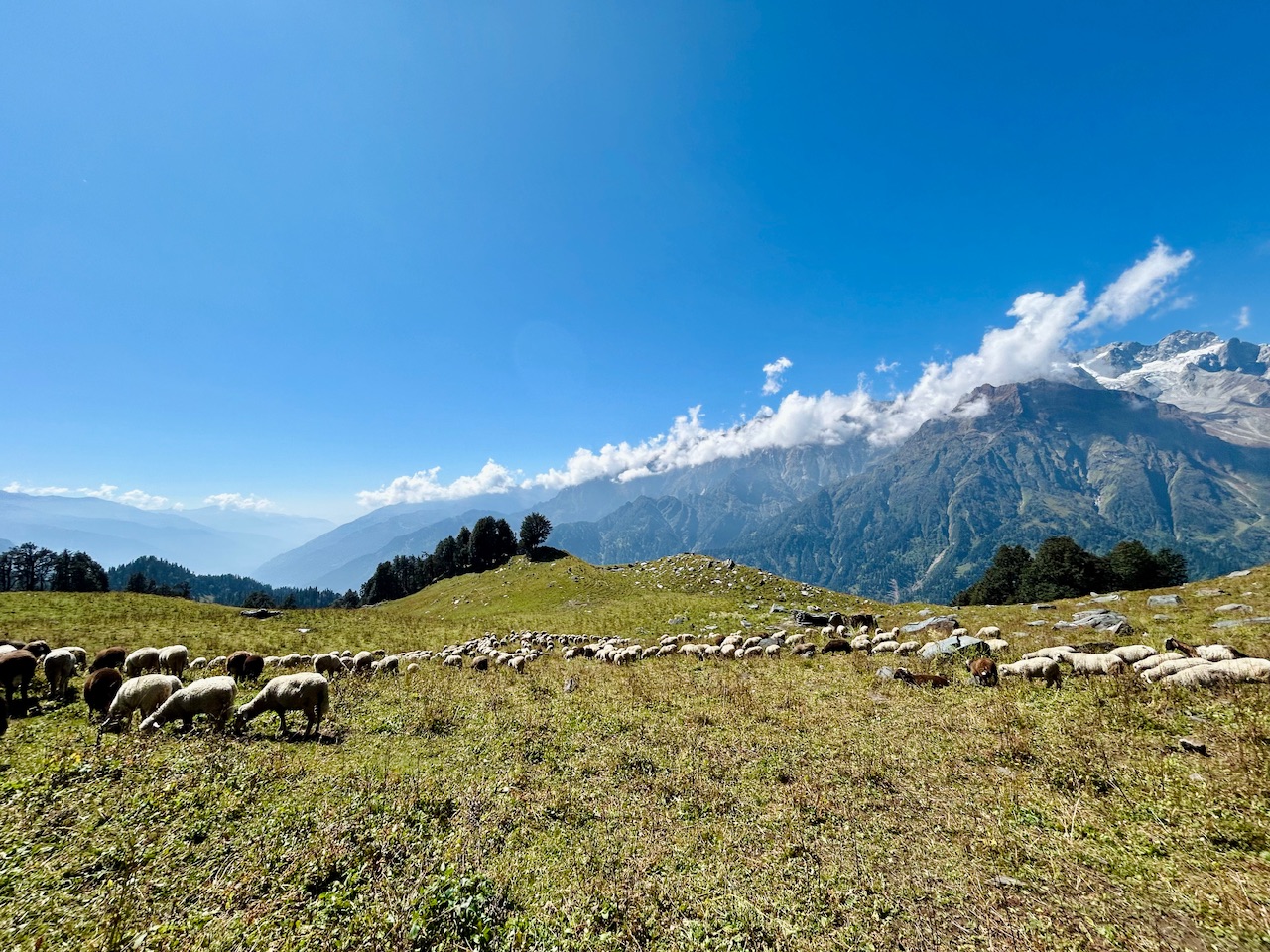
We ran till the start of the forest and reached there in no time. We had our empty water bottles in our hands as we were now desperate for water.
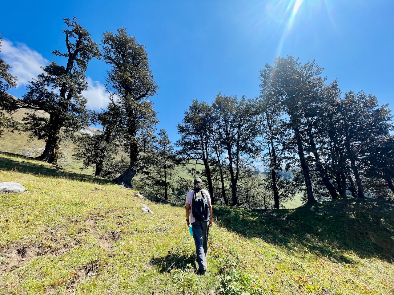
We entered the forest and found that there was a marked trail there too. The people who organised the trail running event had marked all possible ways to reach to the top. Kudos to the team who must have worked so hard to mark those trails for us.
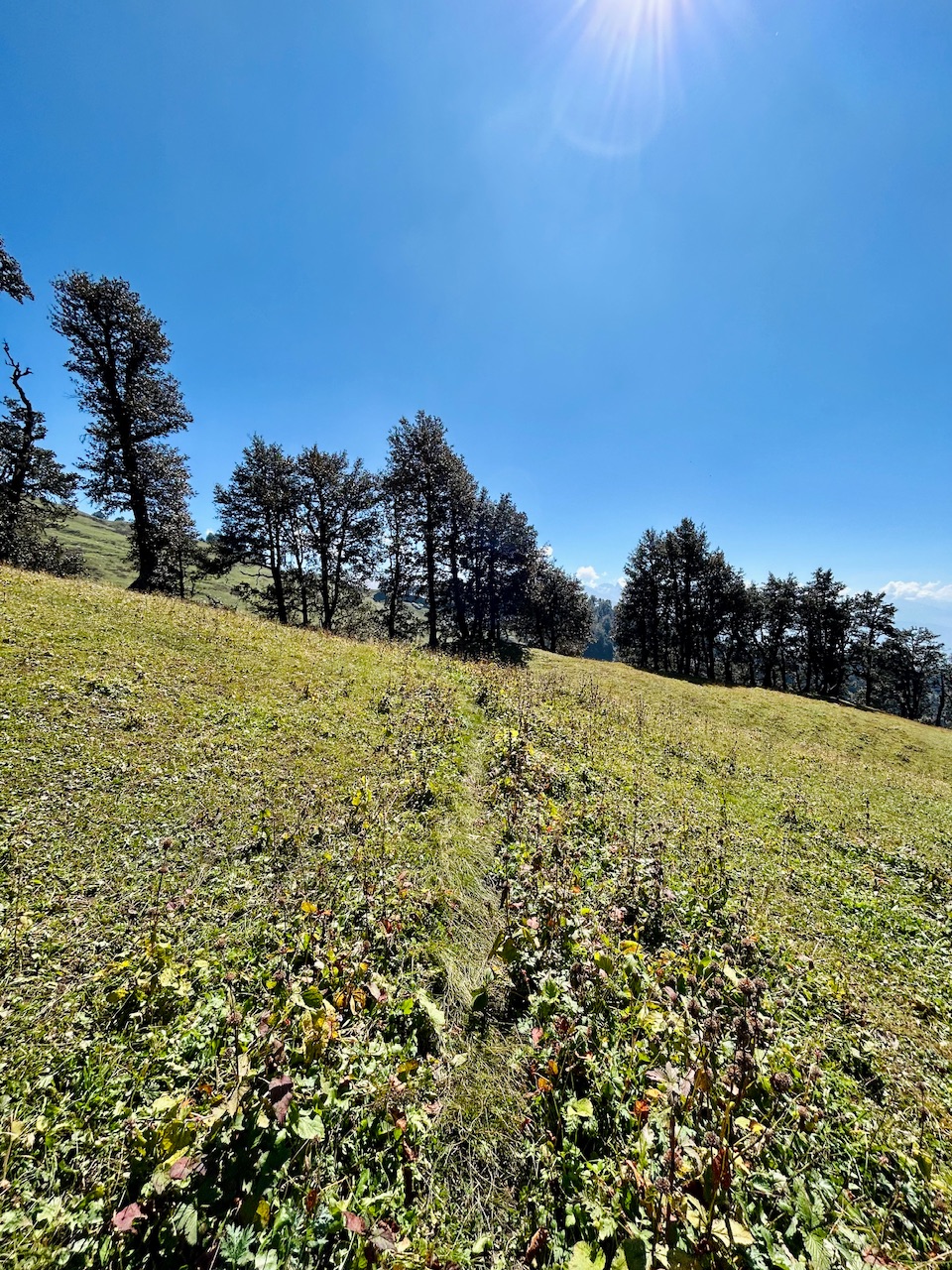
We were going to the opposite direction from the markings and we needed to get to the bottom of this little valley to get the water.
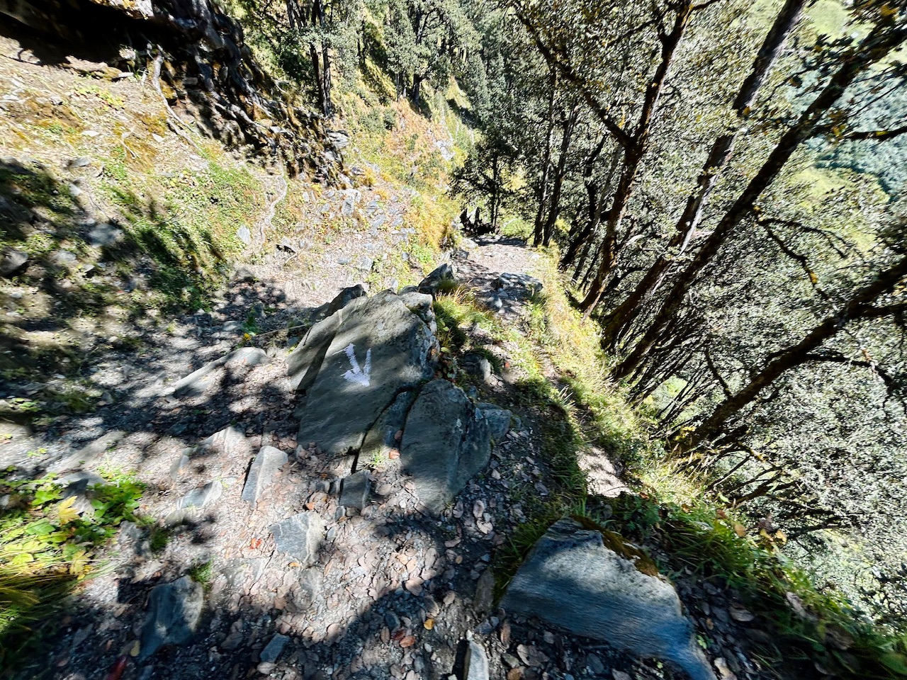
It was quite steep on our way down. We needed to be very careful. We were super thirsty at that time and we needed water as soon as possible.
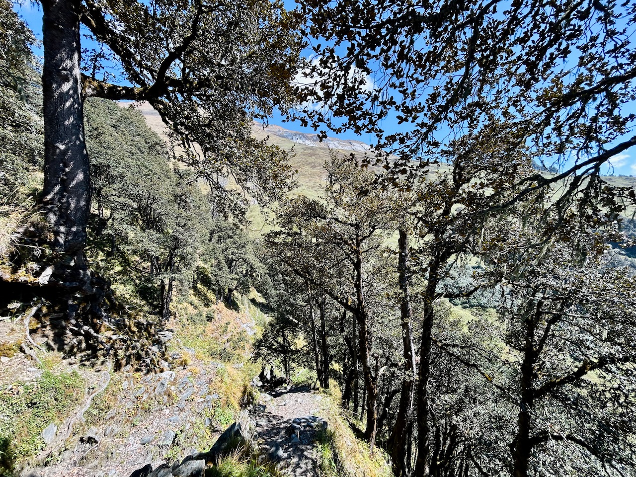
We reached there in about 15 minutes. It was a very little stream of fresh water that was coming out of the mountains. We expected it to be a bit bigger but as it had water, we were happy anyway.
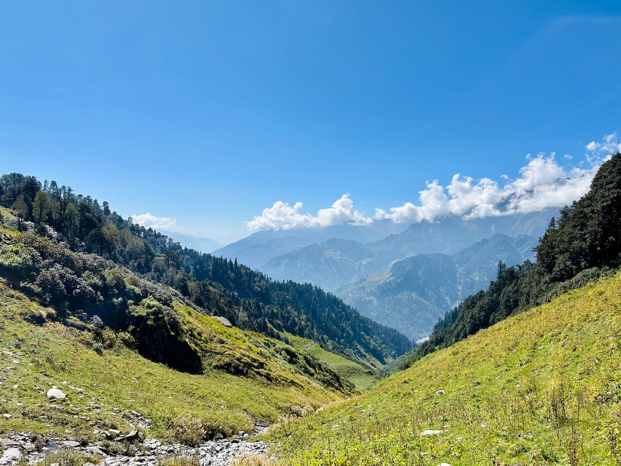
As there was little water there, it took us another 10 minutes to get our empty bottles filled. By the time, we took the opportunity to relax and catch up with our breath as we needed to climb our way back up again.
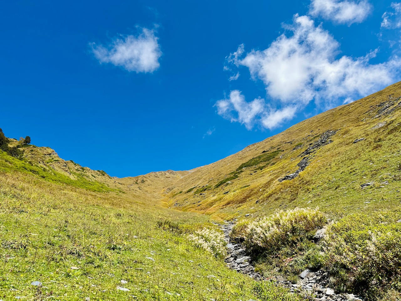
While we were climbing uphill, we found some Bethar shrubs. They looked really amazing.
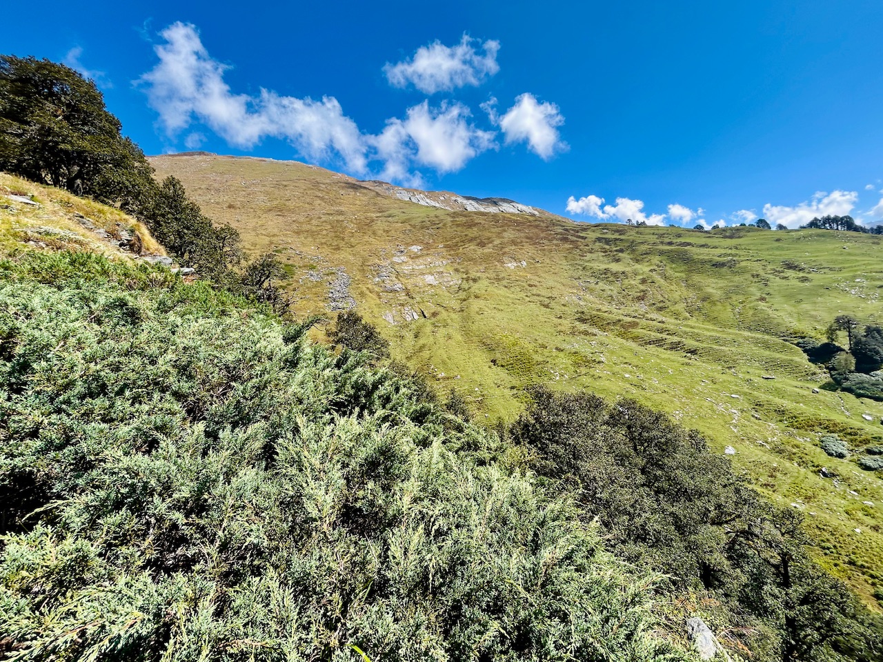
It was the point where the tree line ended and the bushes started to grow. We were in such an important natural boundary. Being in the middle of two different environments was an experience of its own.
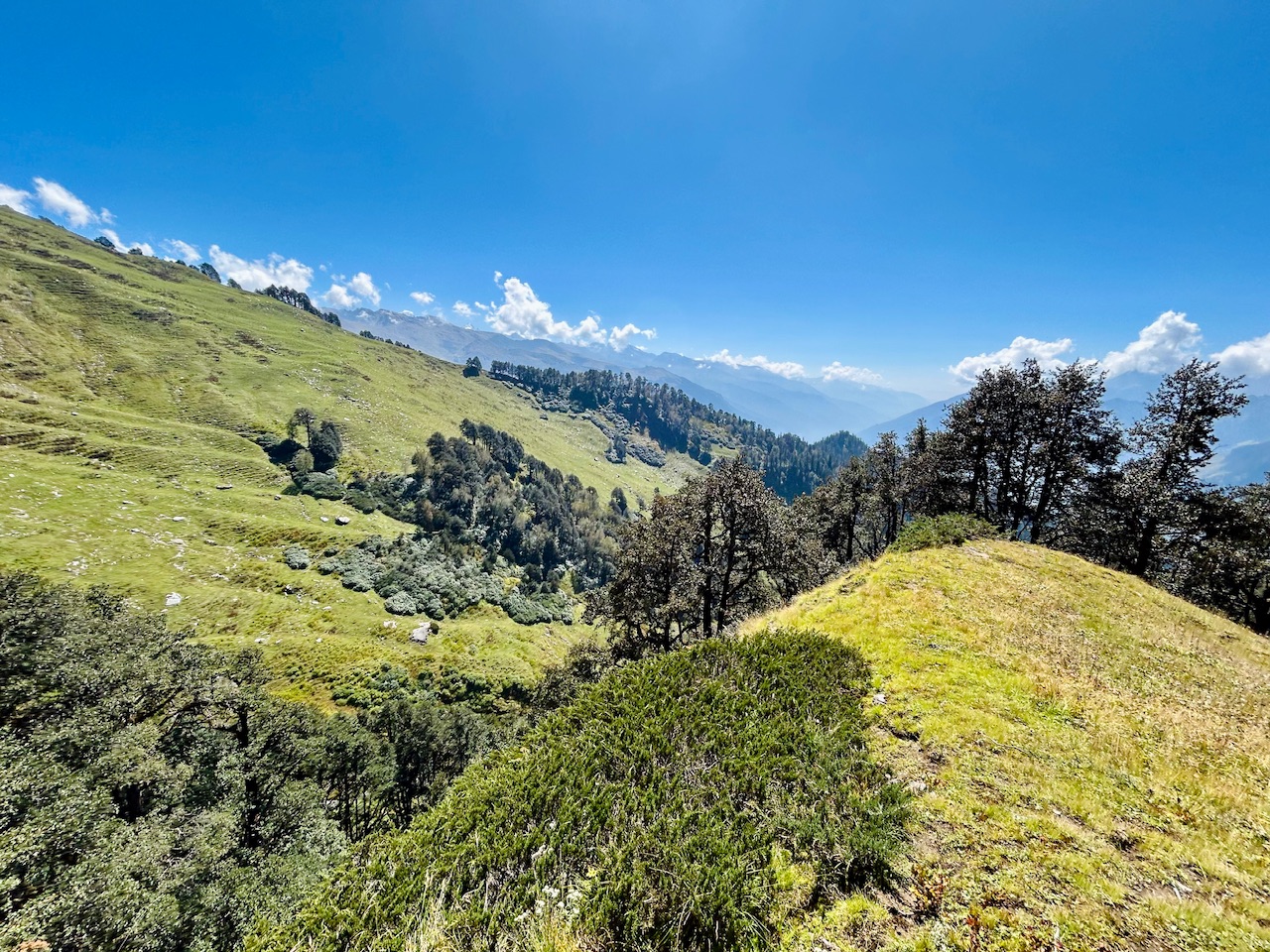
We climbed back up after 30 mins of hike but it was worth every effort that we did!!! We now were loaded up with water and ready to go further. Looking down we saw how low we got to fill up the water.
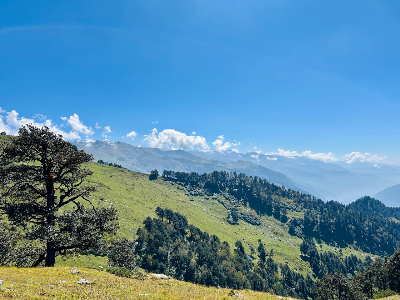
That’s all for today.
Peace ☮️

You can check out this post and your own profile on the map. Be part of the Worldmappin Community and join our Discord Channel to get in touch with other travelers, ask questions or just be updated on our latest features.
Congratulations, your post has been added to the TravelFeed Map! 🎉🥳🌴
Did you know you have your own profile map?
And every post has their own map too!
Want to have your post on the map too?
- Go to TravelFeed Map
- Click the create pin button
- Drag the marker to where your post should be. Zoom in if needed or use the search bar (top right).
- Copy and paste the generated code in your post (any Hive frontend)
- Or login with Hive Keychain or Hivesigner and click "create post" to post to Hive directly from TravelFeed
- Congrats, your post is now on the map!
PS: You can import your previous Pinmapple posts to the TravelFeed map.Opt Out
Hiya, @ybanezkim26 here, just swinging by to let you know that this post made it into our Honorable Mentions in Travel Digest #2360.
Your post has been manually curated by the @worldmappin team. If you like what we're doing, please drop by to check out all the rest of today's great posts and consider supporting other authors like yourself and us so we can keep the project going!
Become part of our travel community:
What an incredible and challenging journey you had. But it's great that you found water source for you to drink and went up the climb again successfully. The place is great with an awesome view.!
The hill looks so serene! Must've been a great experience to be there.
Congratulations @parvkhuller! Your post brought a smile to the TravelFeed team so we have sent you a smiley. Keep up the good job. 🙂
Thanks for using TravelFeed!
@for91days (TravelFeed team)
PS: Did you know that we have our own Hive frontend at TravelFeed.com? For your next travel post, log in to TravelFeed with Hive Keychain or Hivesigner and take advantage of our exclusive features for travel bloggers.