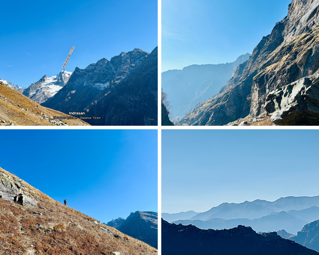
Namaste 🙏
Hope you all are doing well..!
In Part-1 of this series, five of us started our expedition of climbing an unknown peak and we were halfway there. Three of us were super tired and had to stay halfway to conserve energy for the descent. It was me and my brother who had a little courage remaining to get to the top.
Link to Part-1-
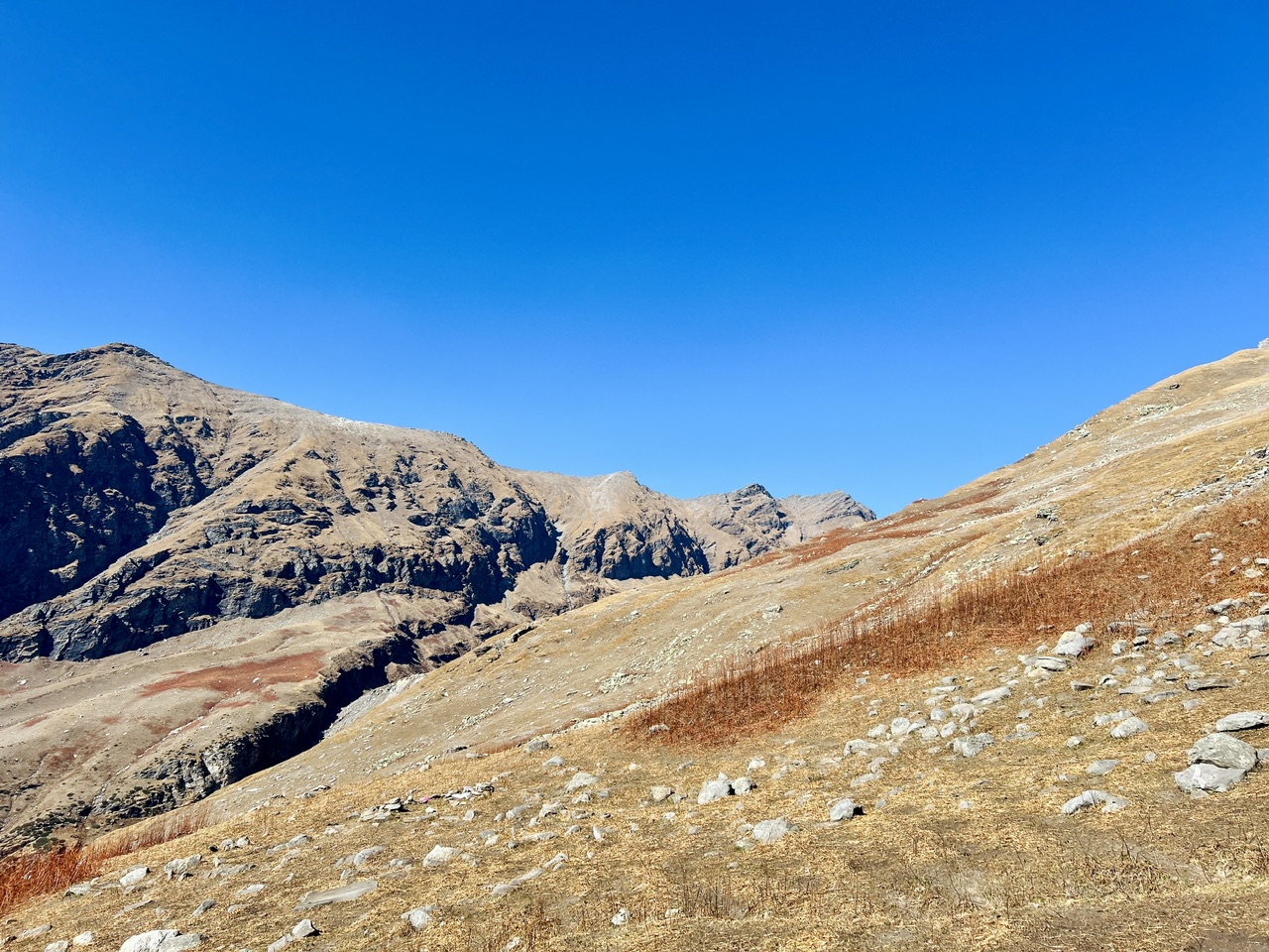
Our main concern was the shortage of time so we decided that no matter what happens, we needed to be back in 45 minutes as we also had to reach back to our campsite with our already tired group. We were still not able to spot the true peak of the mountain we were climbing. I opened my peak finder app to see Pataori Jot adjacent to the mountain we were climbing.
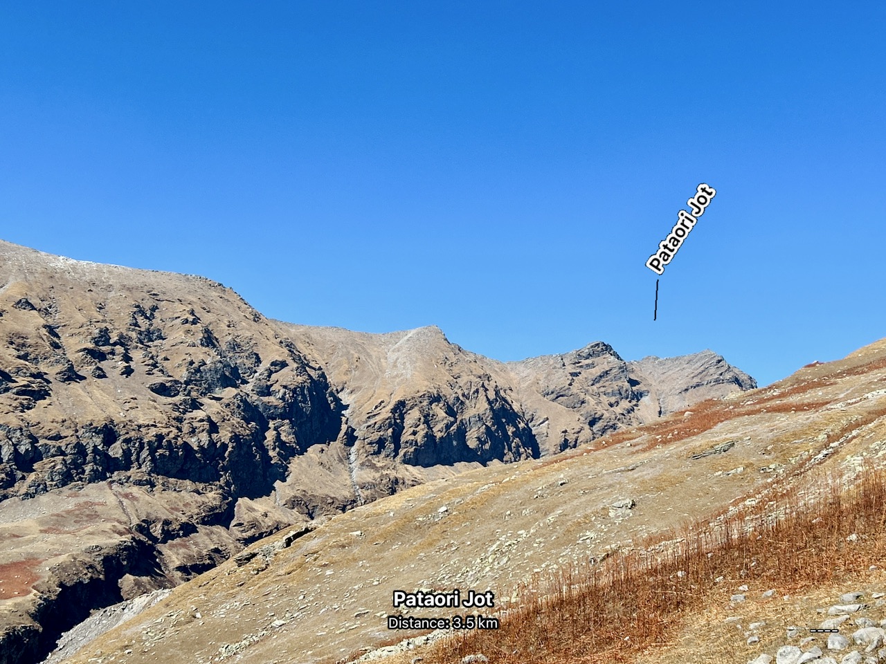
It looked like the Pataori Jot was just a few meters away from us but to our surprise it was more than three kms away!!! The mountain peak that we were chasing would certainly be higher than Pataori Jot as it was the next mountain in the range. We knew that we wouldn’t be able to make it up to the top this time.
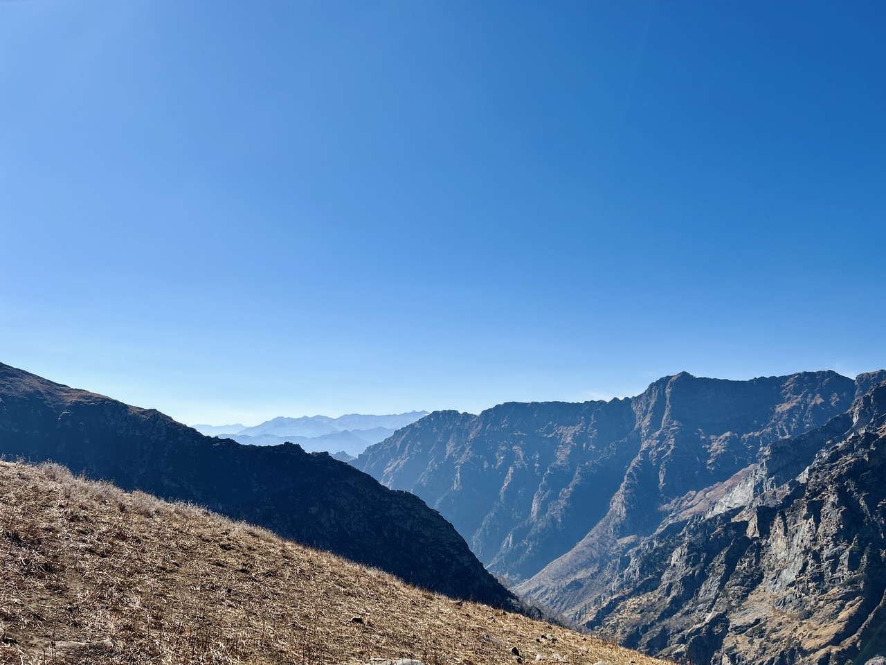
In spite of that, we thought of utilising all the time that we had left and do speed hiking. As we left all our stuff with our friends in the midway, we were free to hike fast. Our pace doubled and we were elevating really fast.
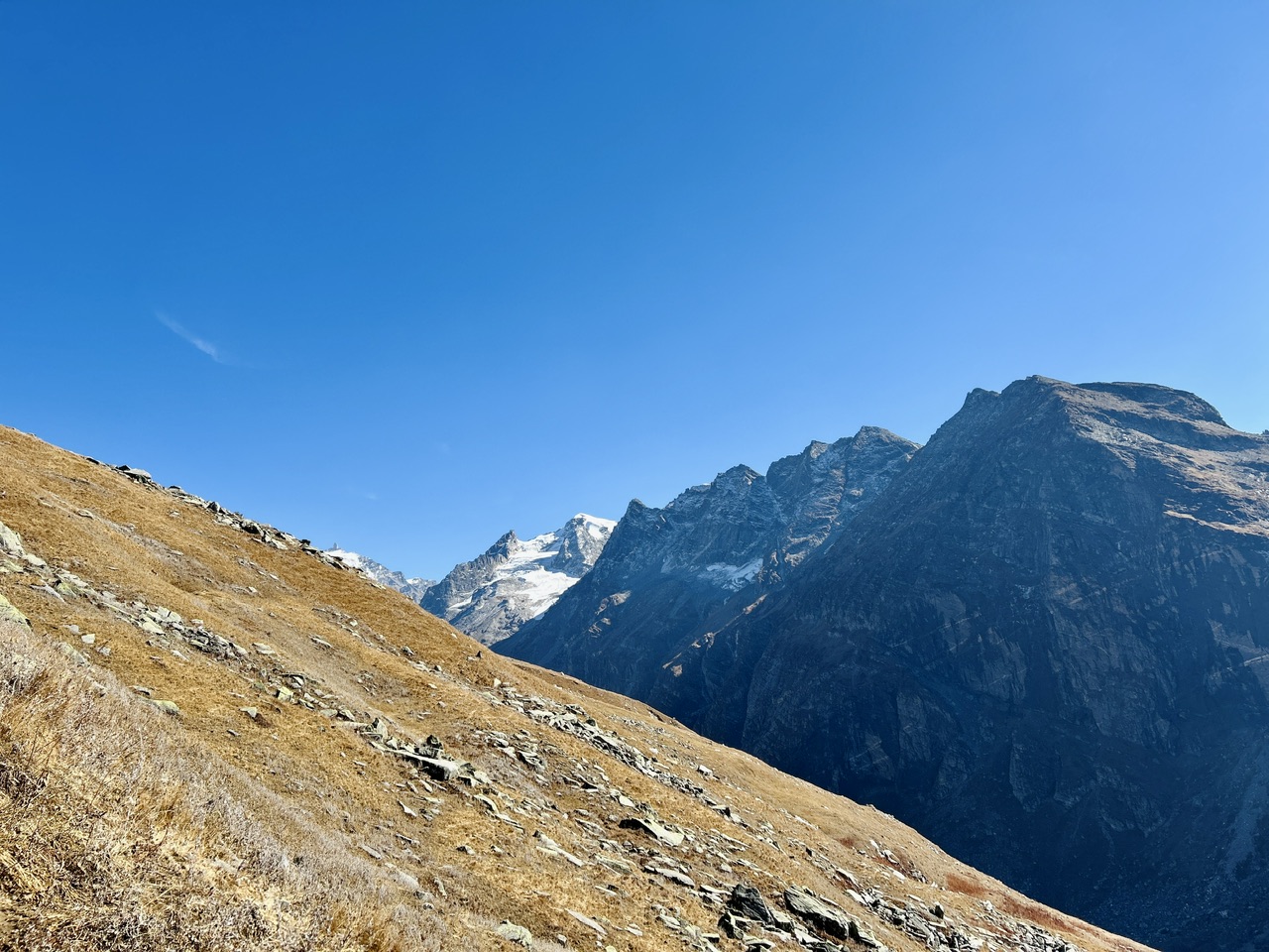
As we gained elevation, many mountains started revealing themselves. The view was getting better and it motivated us to carry on in the same pace. Our hearts were pumping really hard as we were at around 3800-3900 meters above sea level and we were almost running!!!
We saw many beautiful mountains from up there and the view was getting better with each step. We still had 20 minutes left and we decided to utilise our time to the fullest.
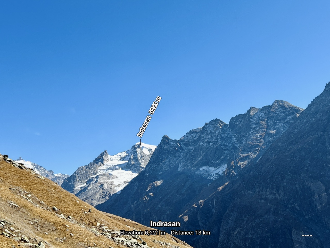
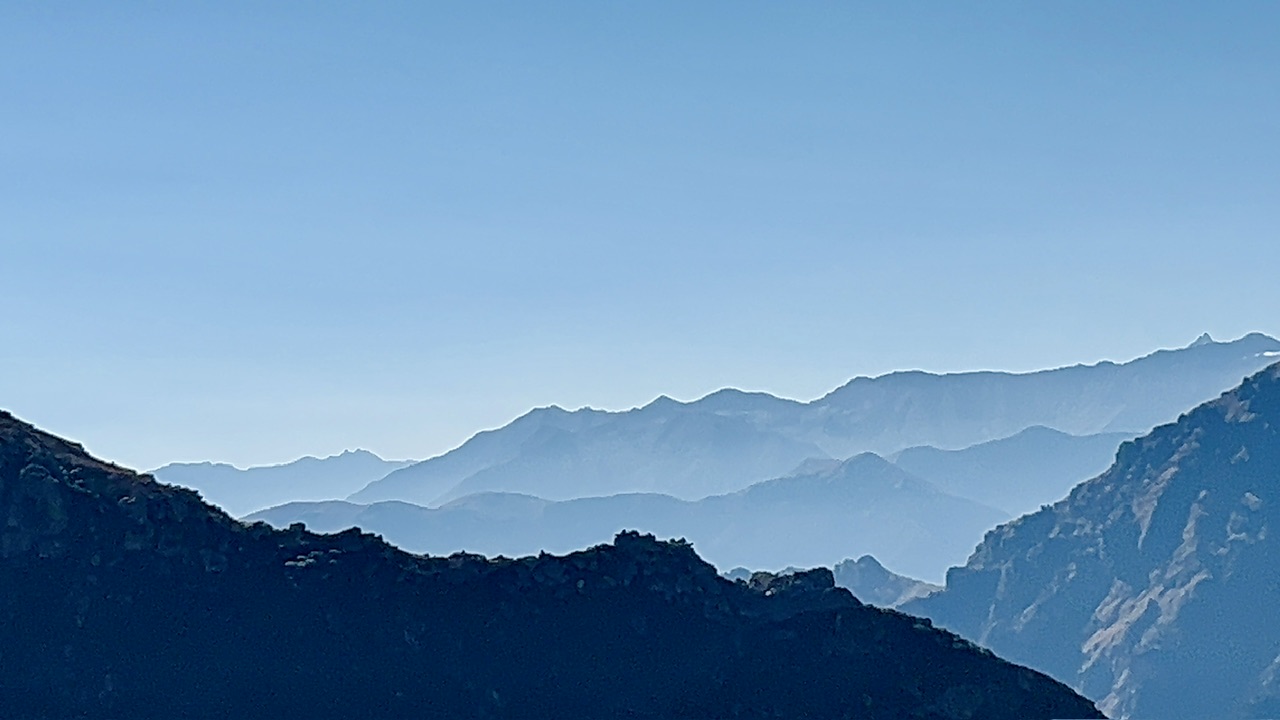
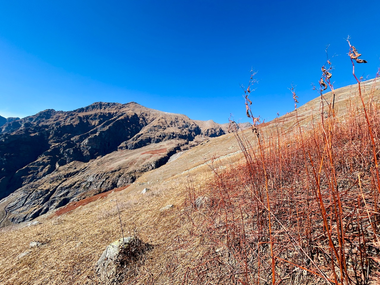
The terrain was monotonous for all the duration of time we had with us. We pushed ourselves to our limits and we could spot the peak we were chasing. We ran out of time and the top was out of our reach. It looked like it would take another couple of hours to get there and that was not at all possible for us. We decided to catch our breaths there for a couple minutes and start our descent.
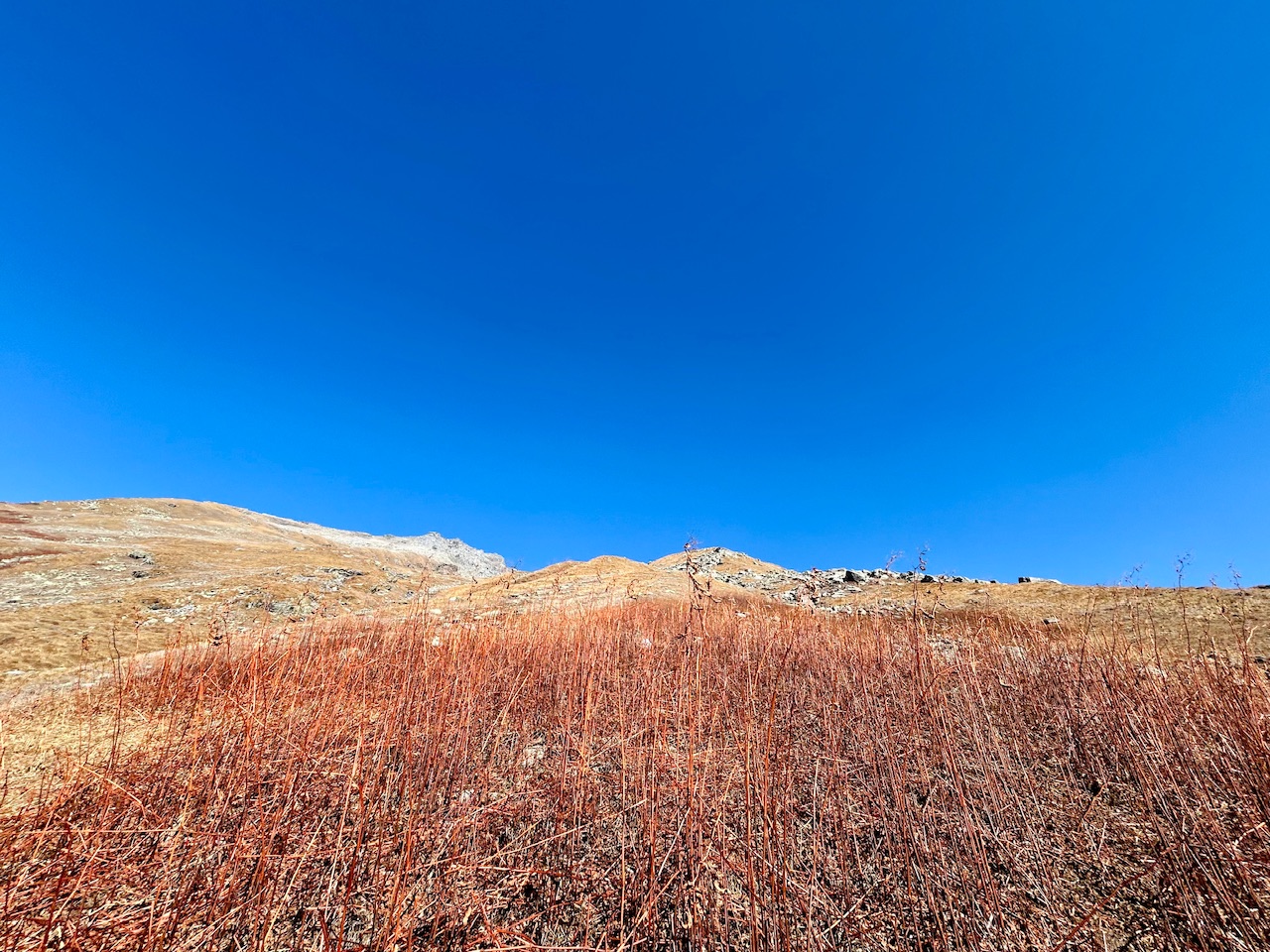
Our descent back after failed attempt —
We tried our best and had no regrets. We thought of coming back next year and retry this summit while we were having a short 2 minutes break. We were tired but we had a long way to go and our friends were waiting for us down there at spot 1.
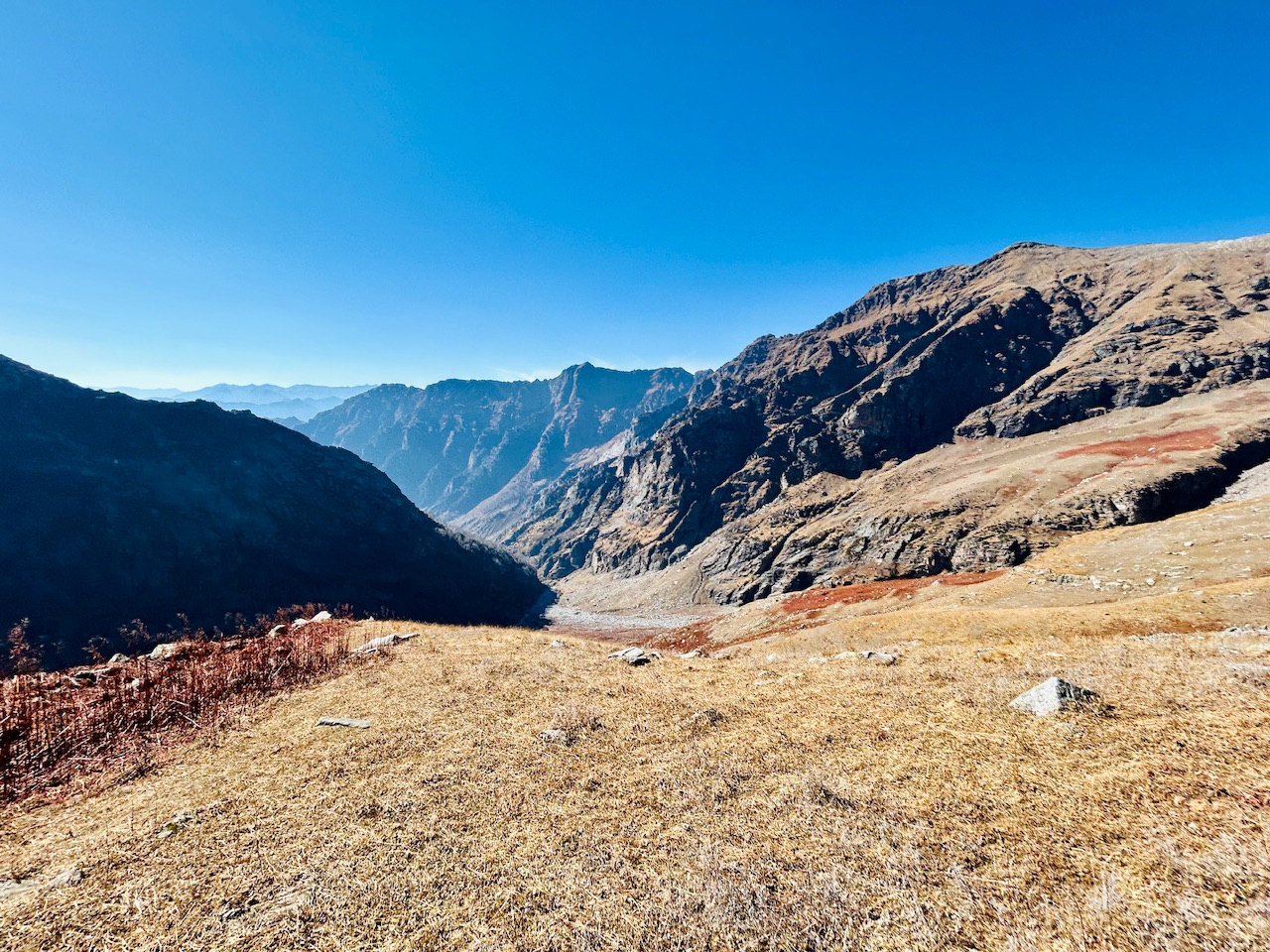
We started running downhill to get to the point where we left our teammates as soon as possible. I was in so much speed that I left my brother lagging behind when I looked back.
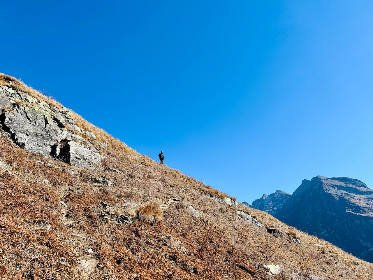
We had to move diagonally as the slope of the mountain was too steep. My brother’s legs were shaking now and I had to motivate him to move. I reduced my speed and matched it with my brother to help him get down from the mountain.
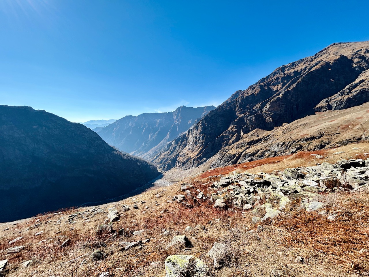
We were running late and I was wondering if we would be able to make it back to our camp before sunset. I was also concerned about my brother’s aching legs and also about my cousins waiting for us at midway. There was no way of communicating to them about our current condition as we were out of network coverage area.
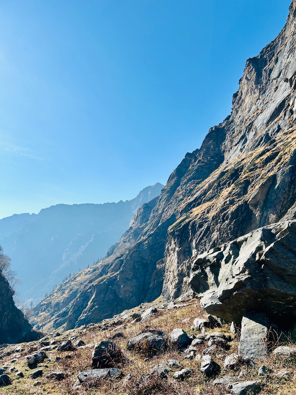
Sun was slowly getting down and we still didn’t got near my cousins yet. By brother took another break of 5-10 minutes and shook his legs. He was relieved as he shook his legs while I messaged them.
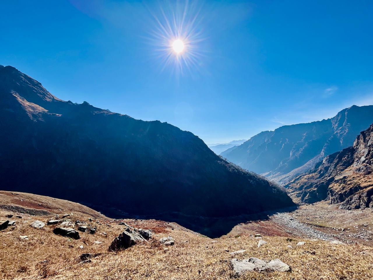
We started running down as soon as my brother’s ache started to banish we reached around midway after some time. I couldn’t take any photos of us reaching midway as I was really conscious about the time and I wanted us to reach at the campsite as soon as possible.
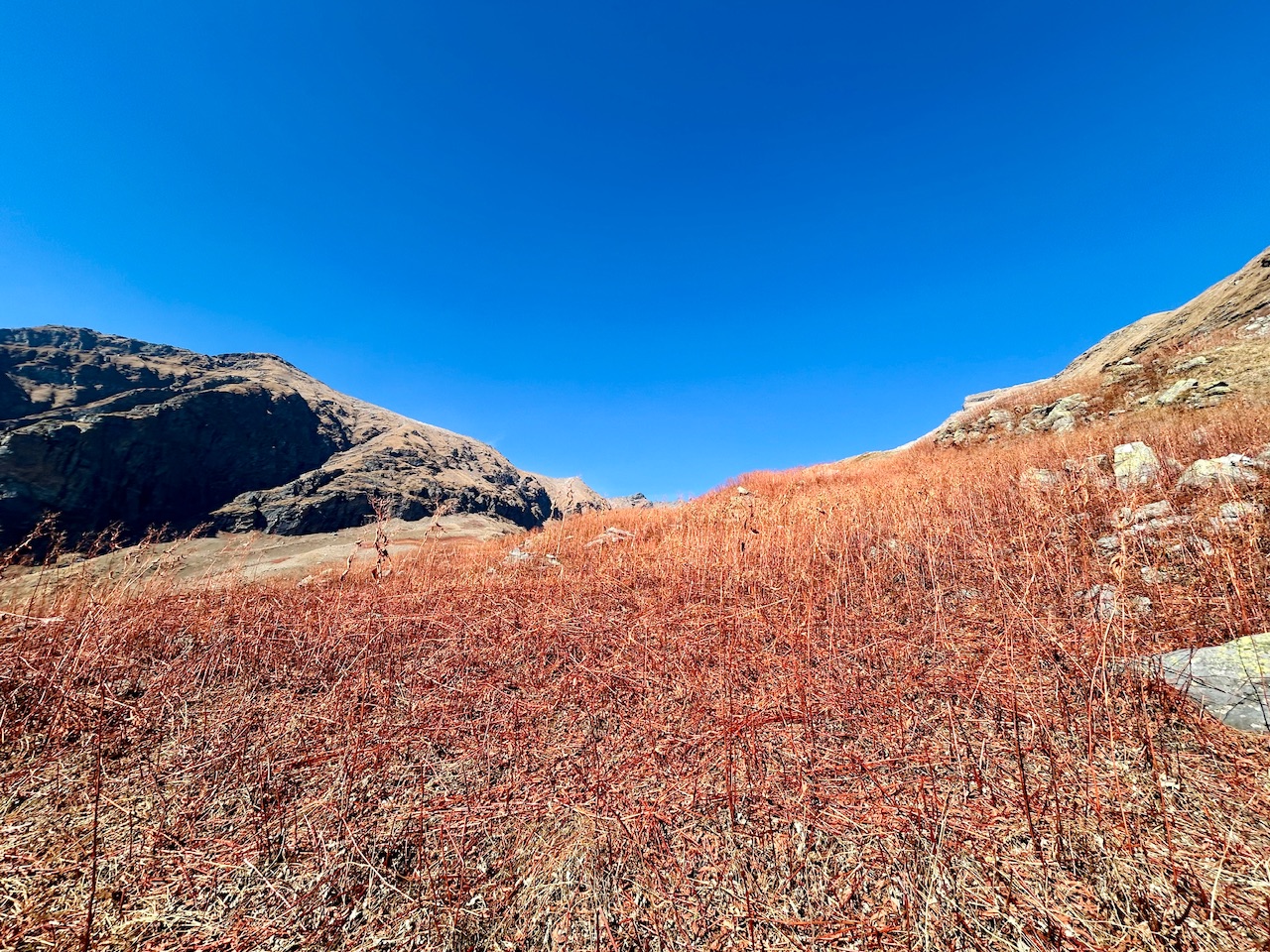
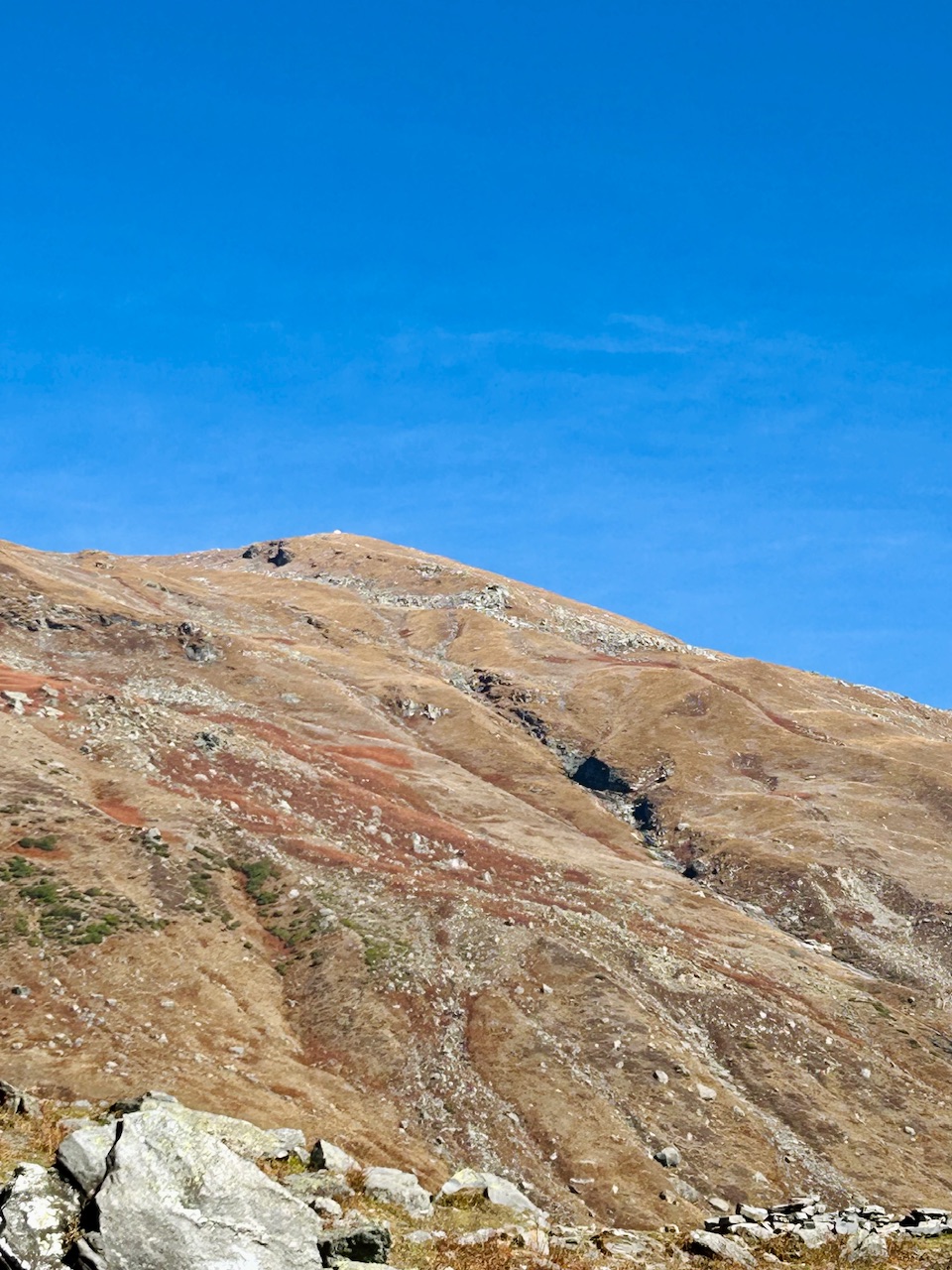
We reached the starting point of our expedition after another half an hour of descent and luckily everyone was fine. Although we were not able to reach to the true summit of the mountain but we still managed to reach the highest point that was visible from there. The real summit was towards left from this point that we couldn’t climb. I’m hoping to climb on top of it one day.
I wondered a few minutes ago we were on top of this huge mountain and it made me feel really happy and confident.
That’s all for today.
Thanks for passing by.
Peace ☮️

The views and the sense of determination you had throughout the hike, despite the challenges, are truly inspiring.
Thanks for your kind words 🙏
You can check out this post and your own profile on the map. Be part of the Worldmappin Community and join our Discord Channel to get in touch with other travelers, ask questions or just be updated on our latest features.
This post has been manually curated by @steemflow from Indiaunited community. Join us on our Discord Server.
Do you know that you can earn a passive income by delegating to @indiaunited. We share more than 100 % of the curation rewards with the delegators in the form of IUC tokens. HP delegators and IUC token holders also get upto 20% additional vote weight.
Here are some handy links for delegations: 100HP, 250HP, 500HP, 1000HP.
100% of the rewards from this comment goes to the curator for their manual curation efforts. Please encourage the curator @steemflow by upvoting this comment and support the community by voting the posts made by @indiaunited.