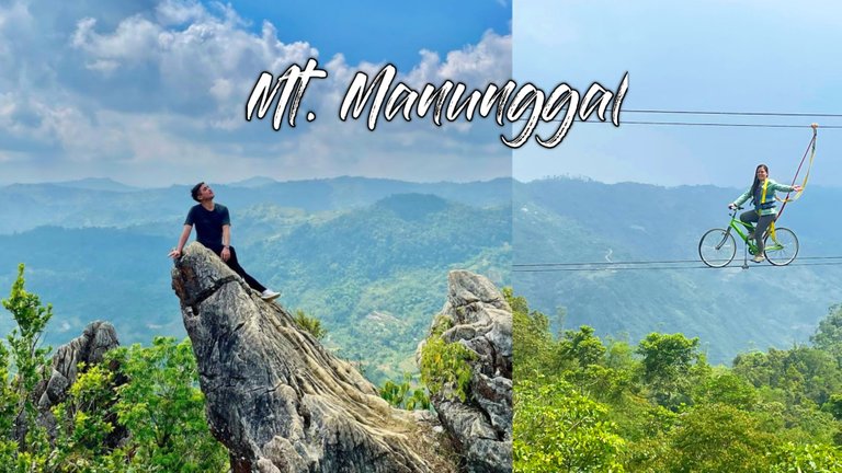
Hello Hive Community! Today, I am going to share our exhausting yet fun, memorable and historic hike to Mt. Manunggal.
My friend Gelo, LL, Rex and I decided to climb the 3rd highest peak in Cebu which is the Mount Manunggal. Before we decided to visit this place, we did a lot of research to prepare ourselves for the hike. Our first plan was to stay there overnight in a tent. However, 2 days before the scheduled date, Gelo informed me that we couldn't make it overnight due to some unforseen circumstances, so instead of staying overnight, we went there early in the morning.
How we got there
Since Gelo and LL are from the city center, I told them to ride a van from Ayala center terminal to Taptap and from Taptap Gelo drove my scooter going to Magsaysay Village.
In your case, from Cebu City center you will ride a van for hire in Ayala and then drop off at eskina Mt. Manunggal. From there, you will ride a motor taxi going to the Mt. Manunggal camping site. Make sure to tell the driver that you have to drop off at eskina Manunggal. It took us almost 2 hours to arrive in the site.
History of the place
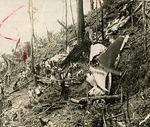
Mount Manunggal is located in the northern province of Cebu which is Balamban, specifically in a small village called Magsaysay. This place became known because of the tragic accident happened here in the year 1957. On March 17, 1957, an aircraft whom the president of the Philippines, Ramon Magsaysay together with other passengers boarded horribly crashed in this area resulting to the death of the former president Magsaysay and other passengers. This killed 25 among the 26 passengers including the former president. According to my research, there was sole survivor of the plane crashed who was a reporter back then. Some of the dead passengers were the important people in the government, military forces and media personalities.Image Source: https://en.wikipedia.org/wiki/1957_Cebu_Douglas_C-47_crash
MT. MANUNGGAL CAMPSITE
After the bumpy scooter ride, we finally arrived in the camping site whom the staff greeted us with hospitality. Then, we paid 100 pesos each for the entrance and another 400 pesos per group for the tour guide.
We set up our camping tent and cooked our breakfast. After eating our breakfast, we went down, bought bottles of water and got ready for the hike.
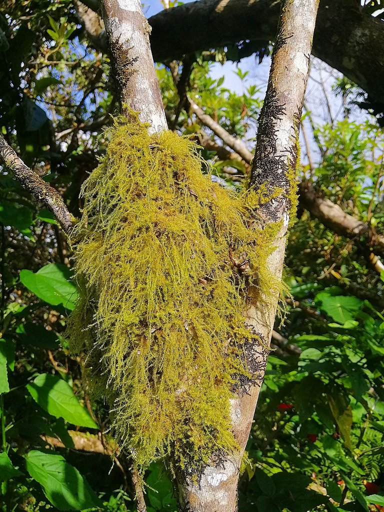
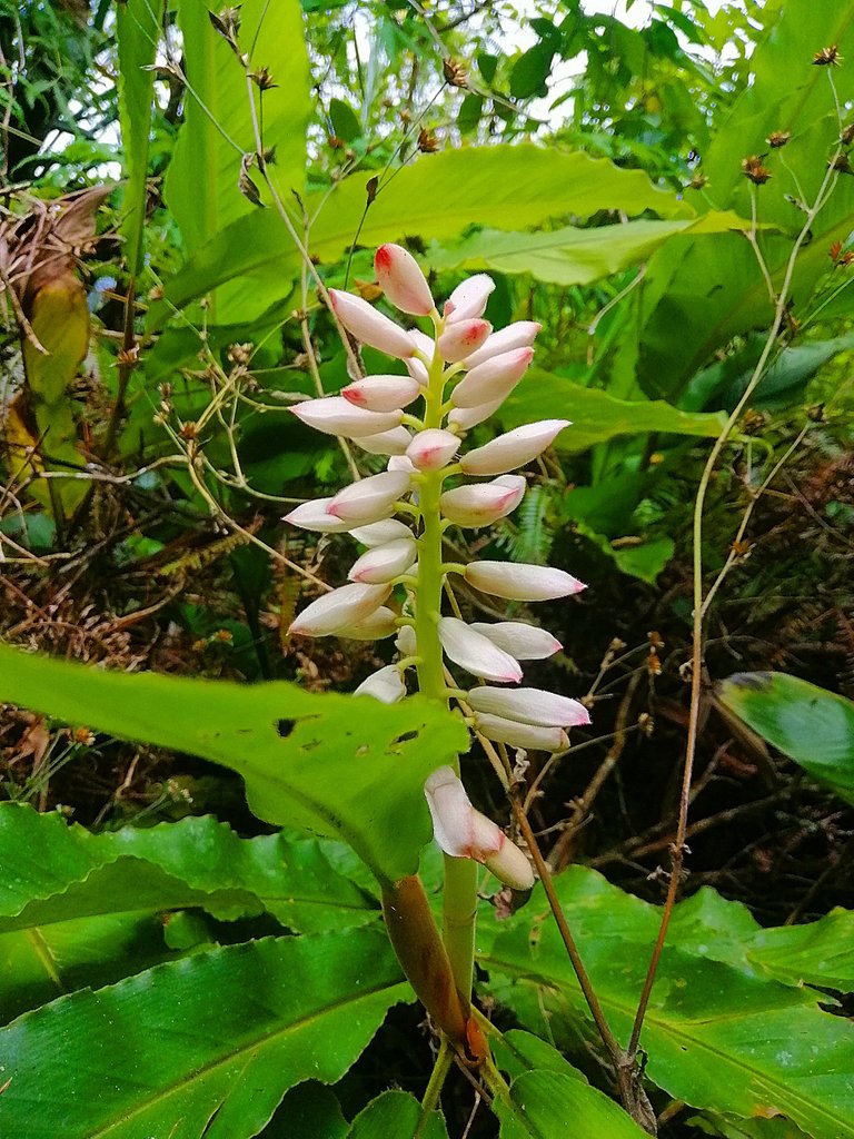
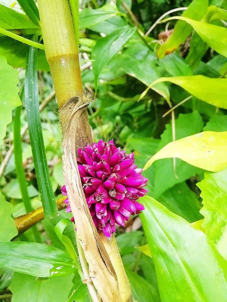
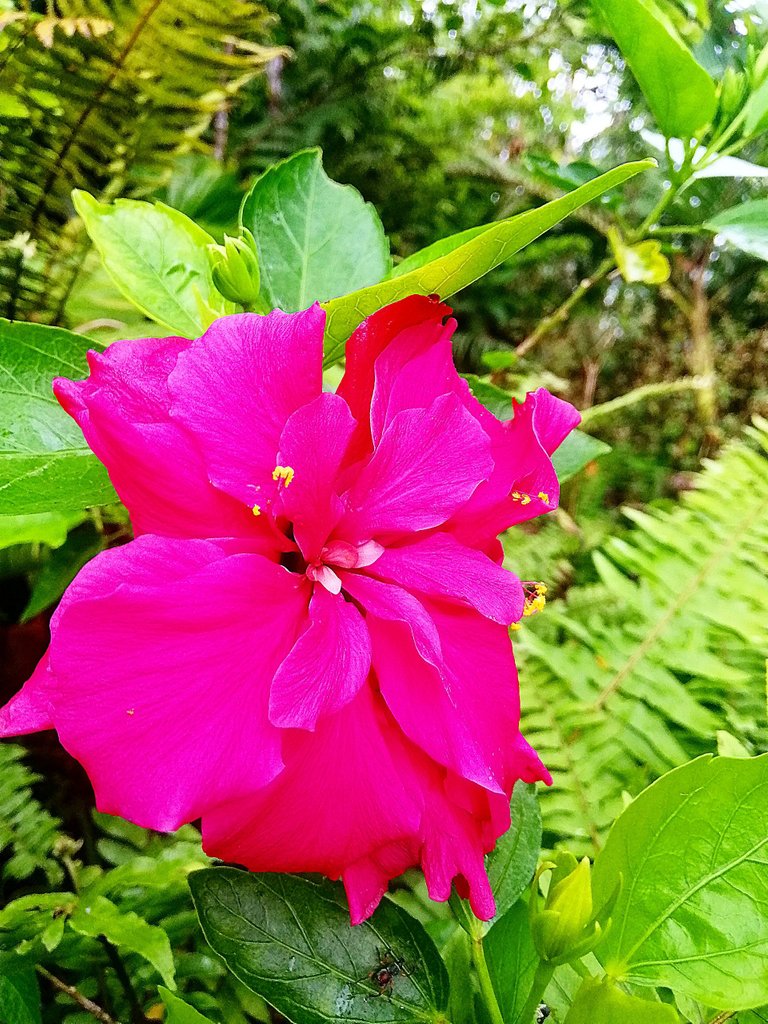
Before the hike, they told us to sign a waiver. Then, we started our hike with our very kind tour guide. While walking, we saw a lot of wild plants and flowers. The first part of the hike was a bit easy because there were pathways along the way.
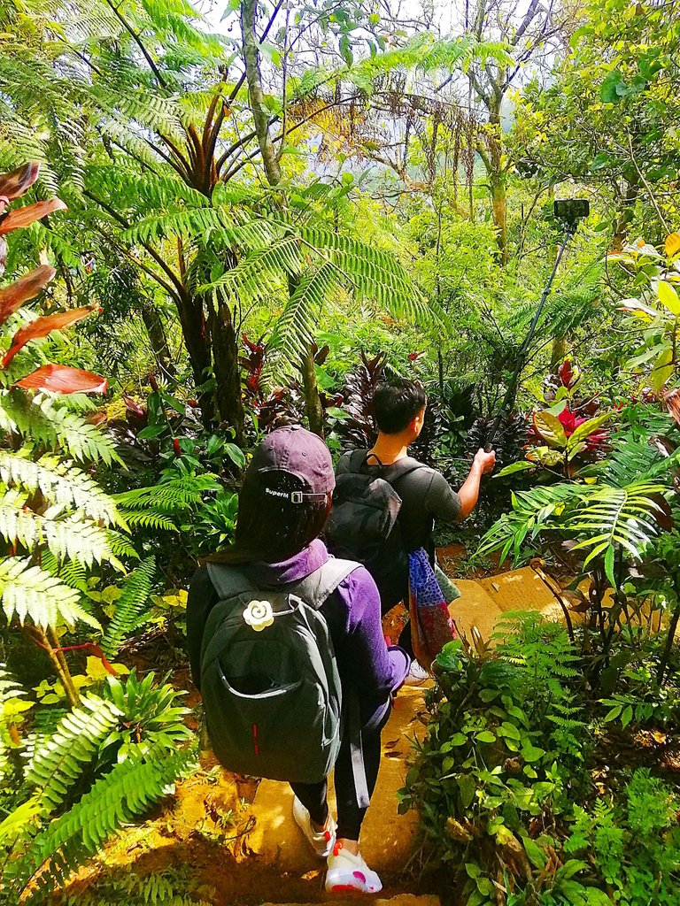
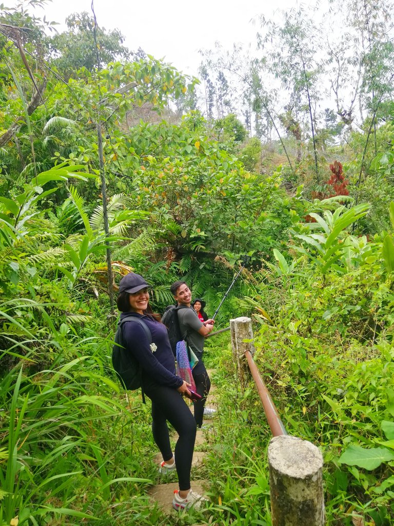
After about 10 minutes of walking, we arrived at the crash site. Here we saw and touched the engine of the plane that crashed long time ago.
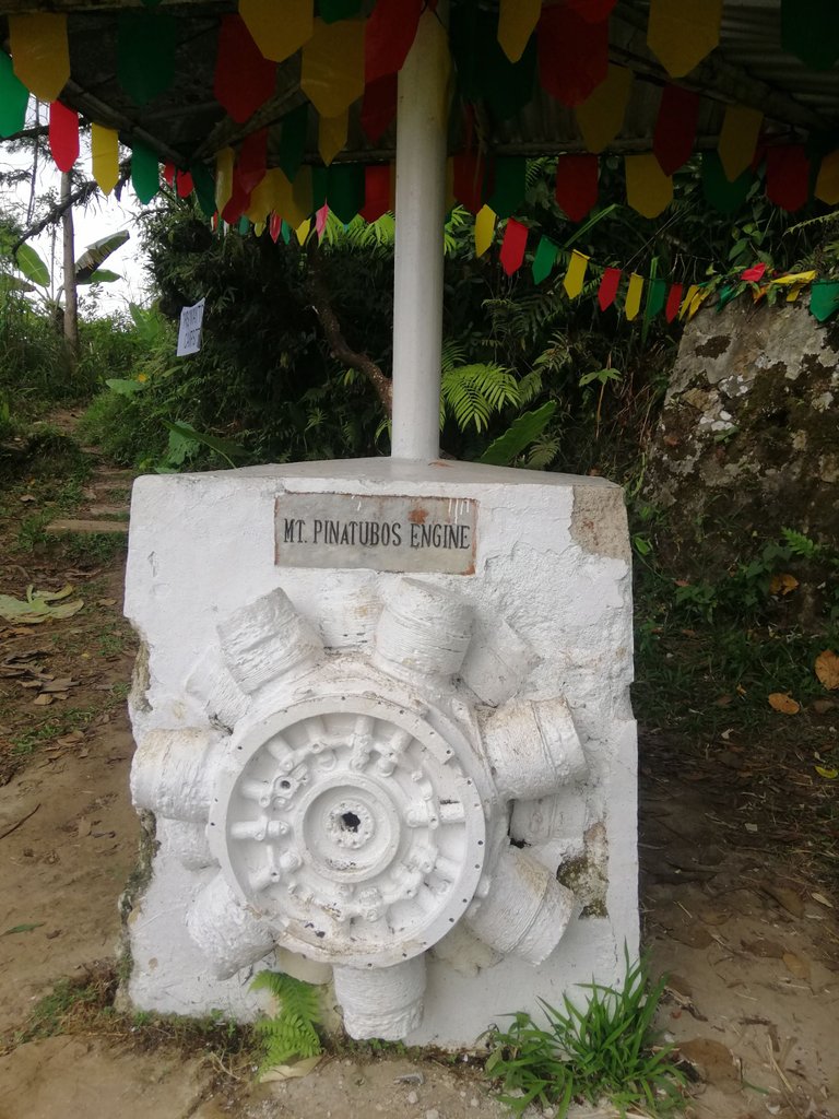
According to our tour guide, this wasn't accessible before so it was very difficult for the rescuers to rescue the passengers from the crashed plane. So people from the area had to carry the dead passengers down.
Then, we continued walking until we saw the monument of former president Magsaysay. This was where helicopter can land to rescue some passengers.
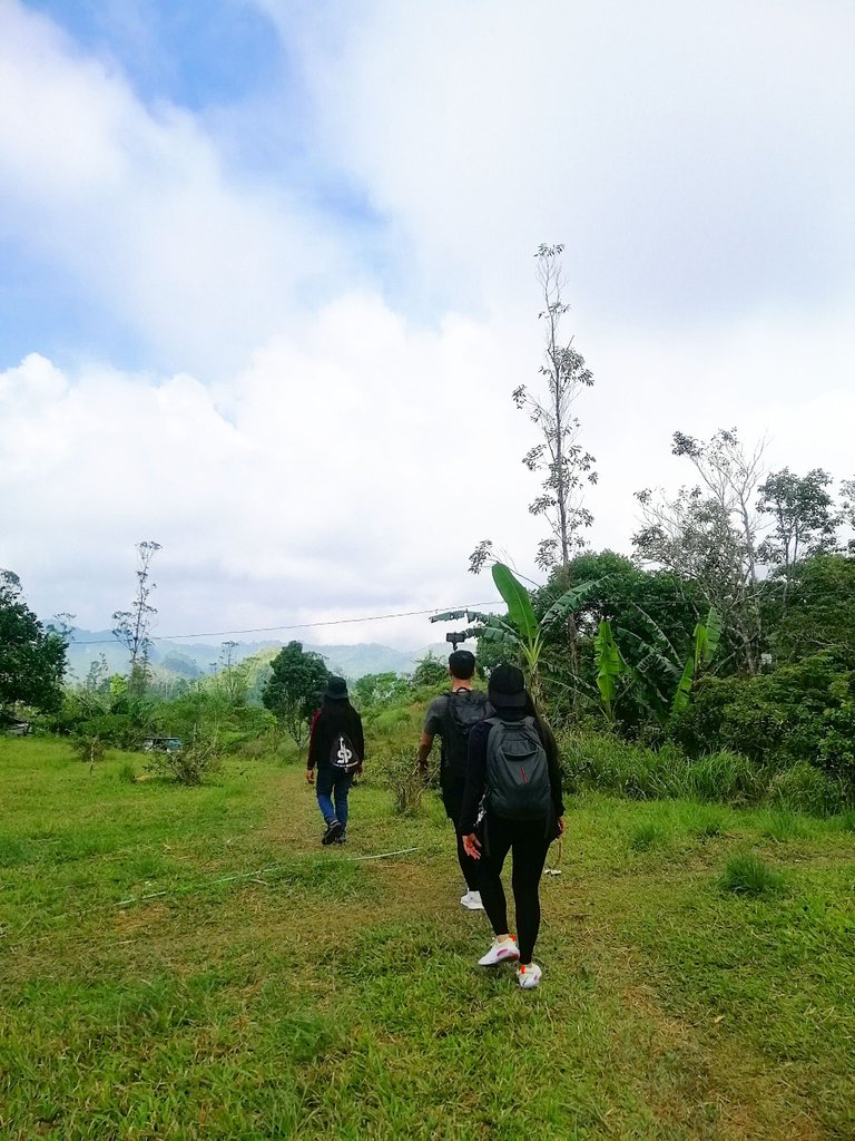
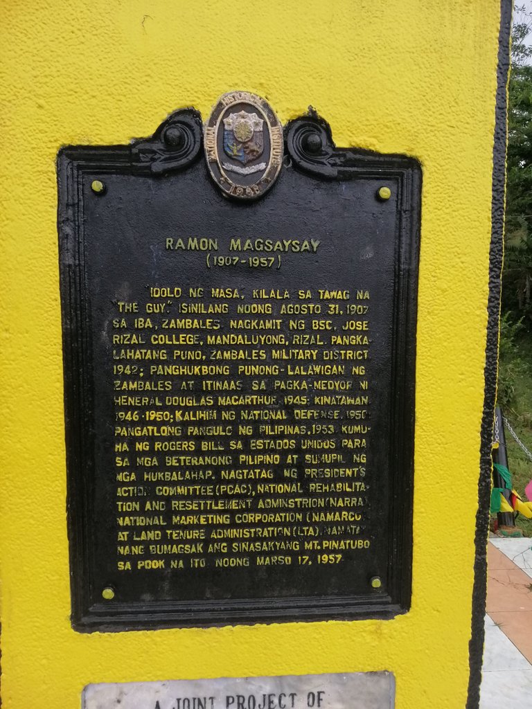
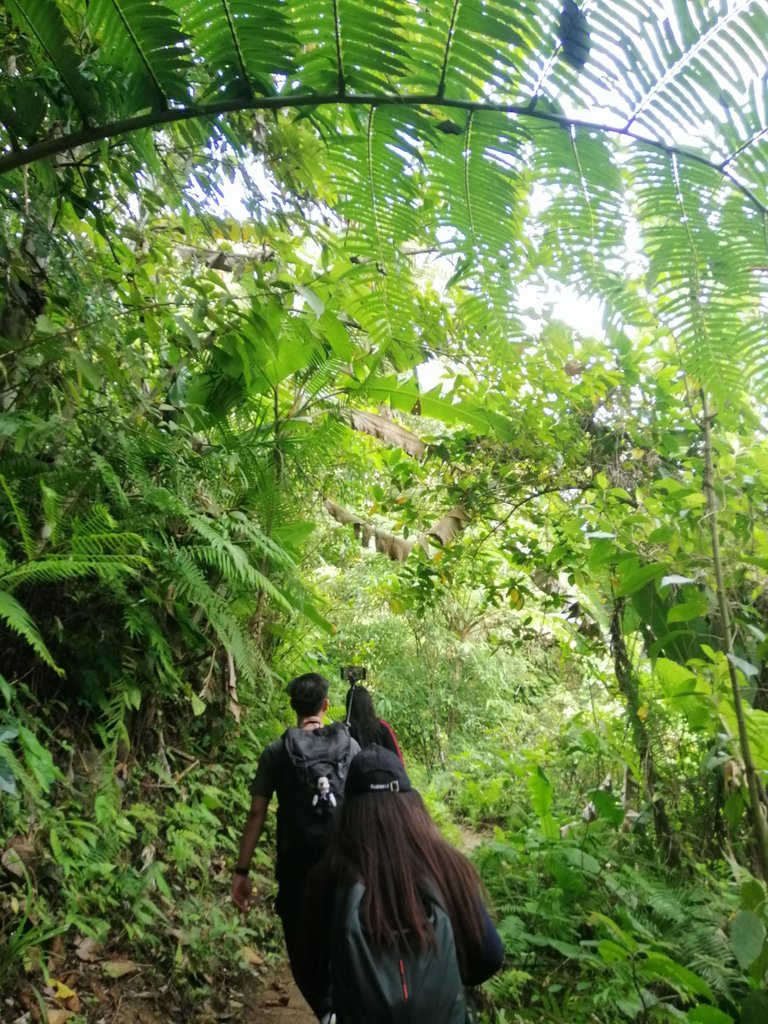
After many years, the officials developed the place by adding pathways to easily access the place and to remember our late President Ramon Magsaysay.
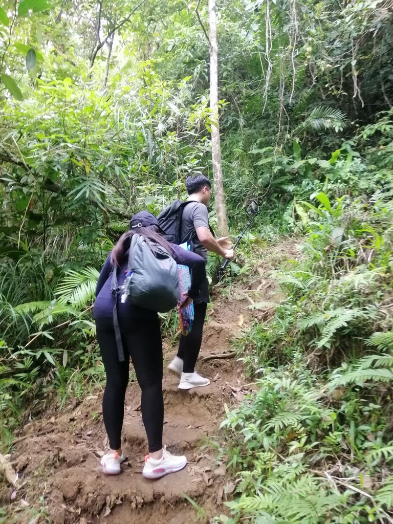
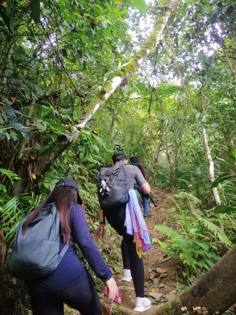
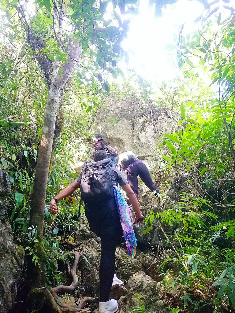
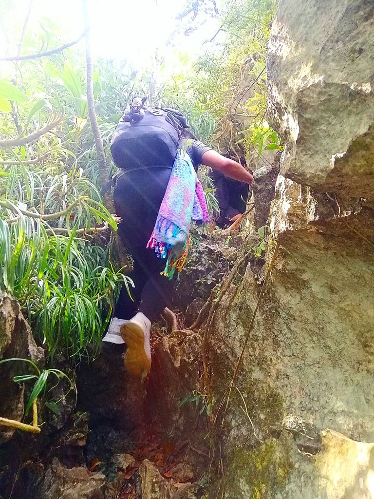
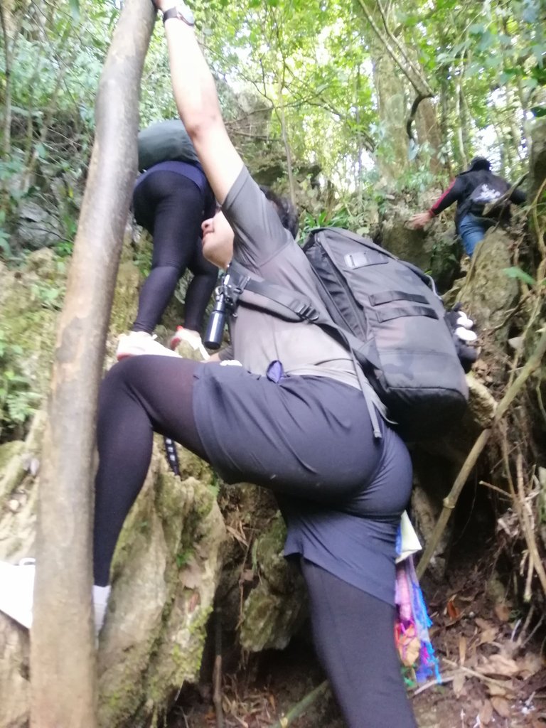
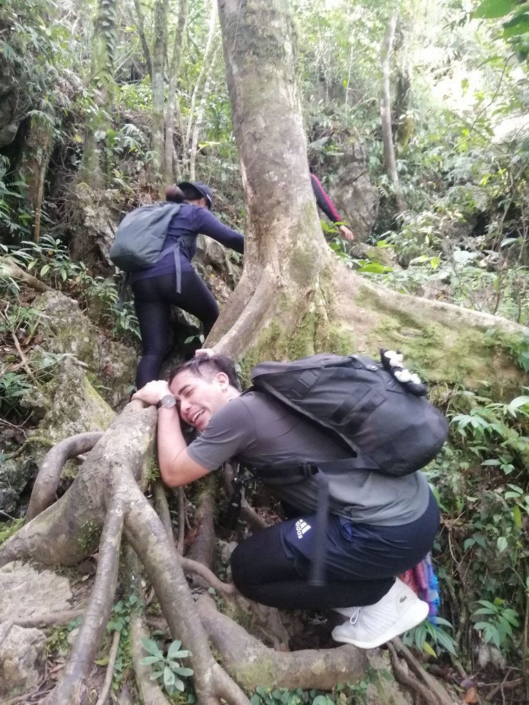
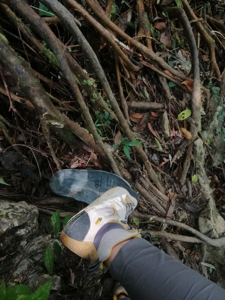
We continued walking until we reached the slope of the mountain. Our guide told us to secure our phones inside our bags because the hike up was quite hard.
THE VIEW FROM THE PEAK
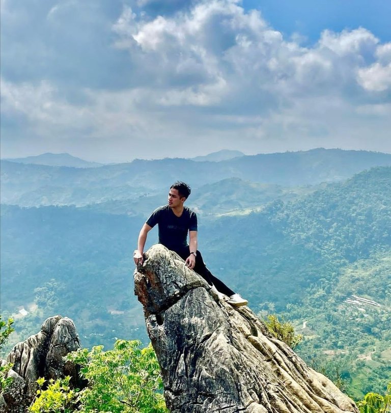
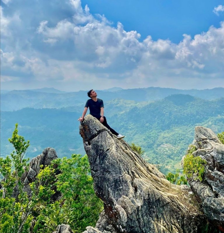
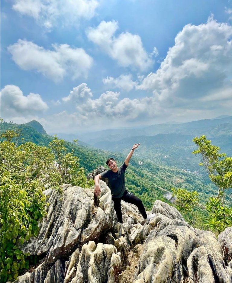
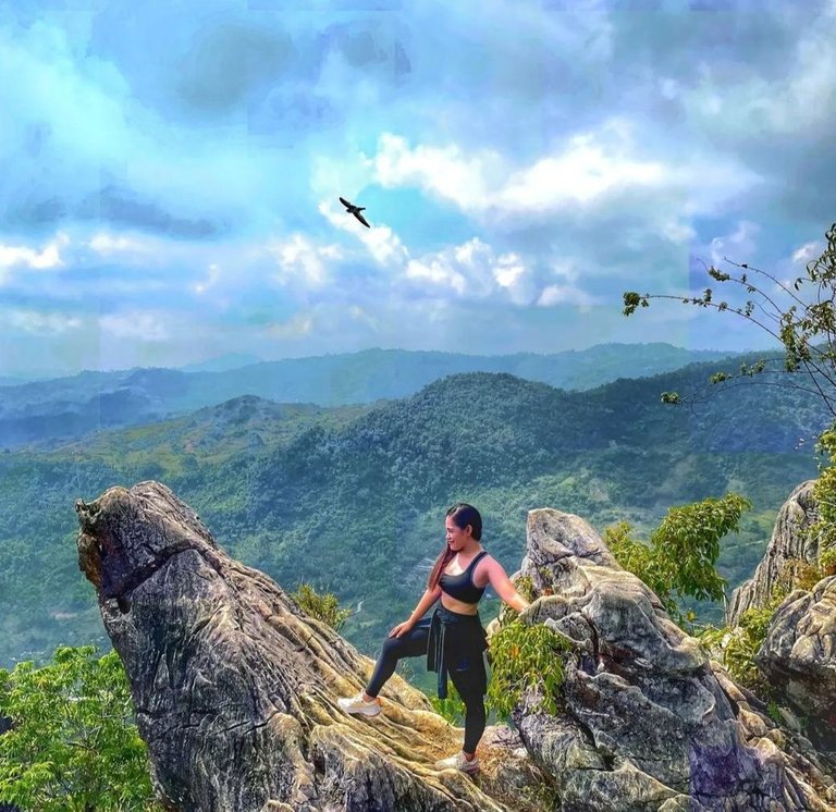
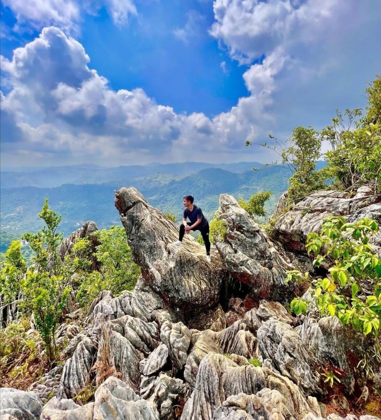
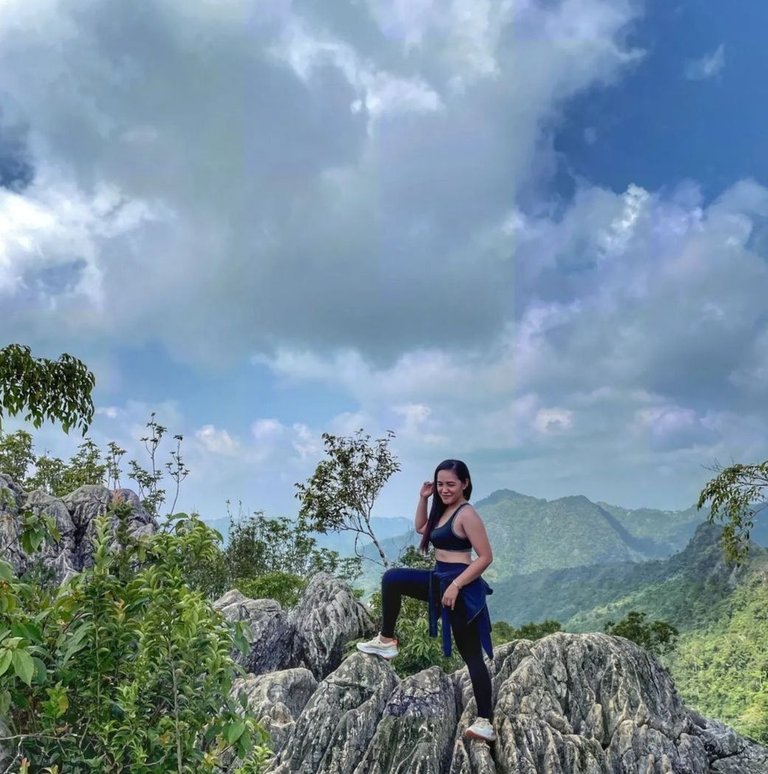
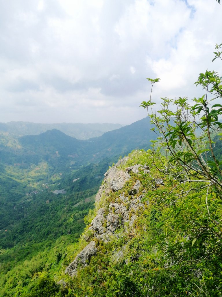
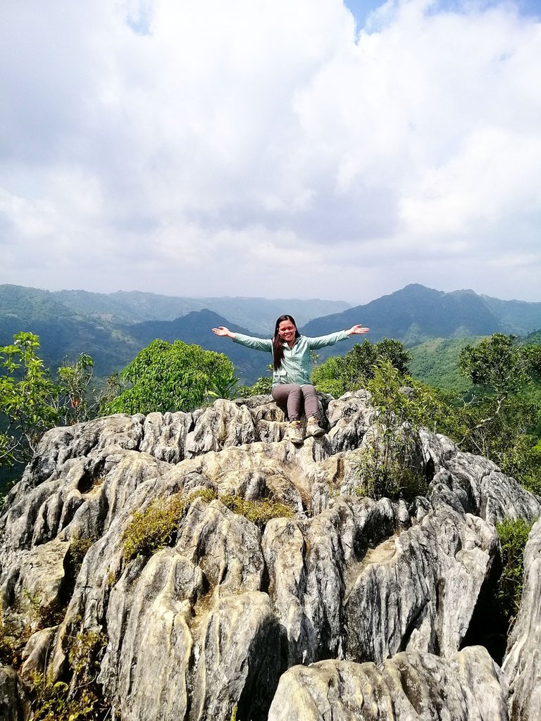
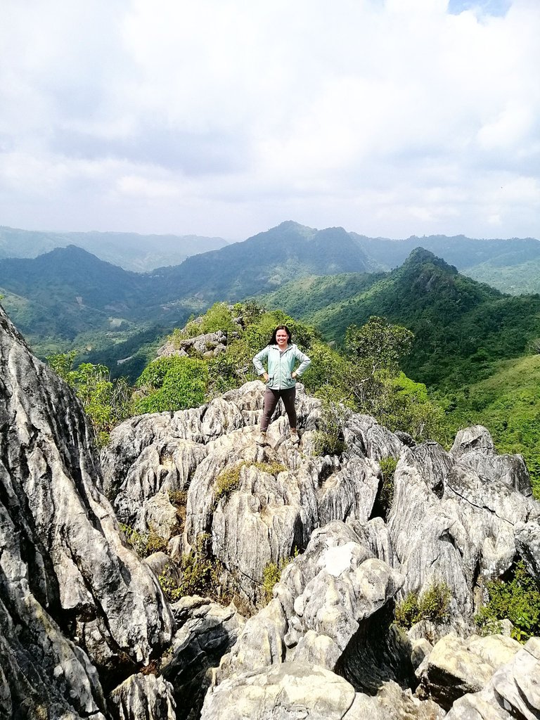
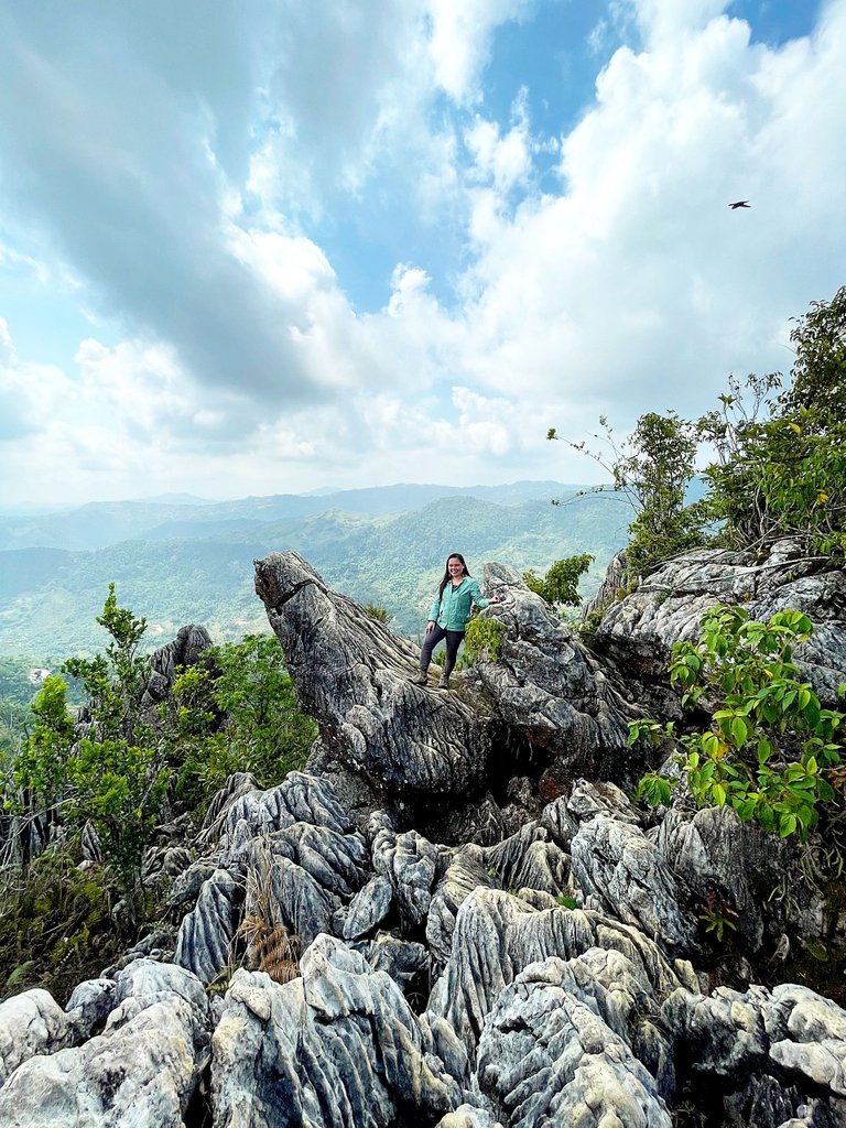
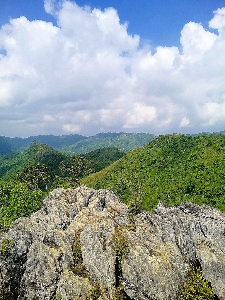
Indeed, it was really hard but when we finally reached the top, the view was stunning. It was so hot and everybody was hungry and thirsty from the long walk so we grabbed our food and ate before we indulge ourselves in picture taking. The hike to the peak was almost an hour.
 )
)

SKY BIKE
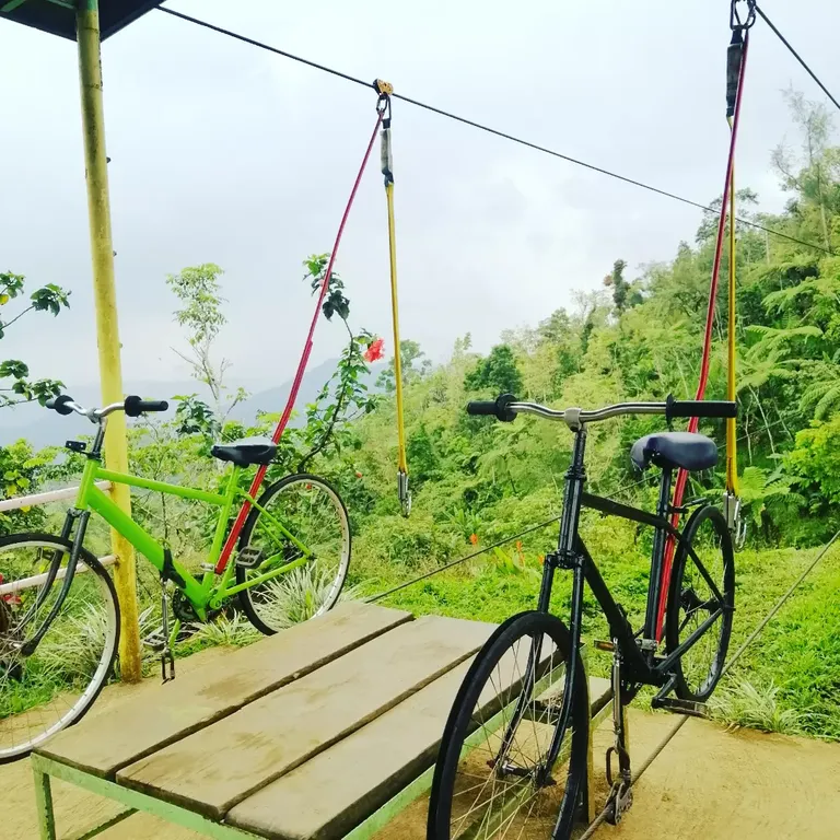
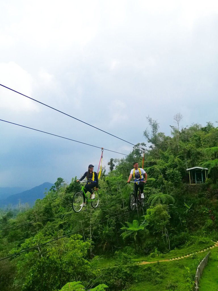
After the great climbed, we went back to the camping site. We bought some food from their restaurant and brought it to our tent. Rex was waiting for us there. After our sumptuous lunch, we decided to experience Sky Bike. We paid 175 pesos each for the sky bike and had a wonderful time. At first it was so scary but a few minutes later, I was already enjoying the ride.
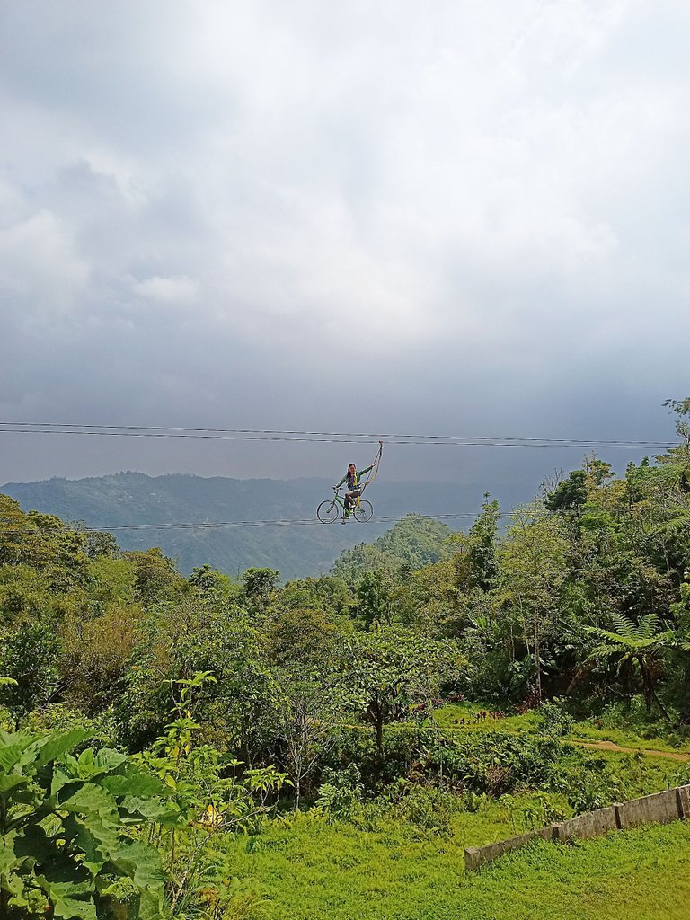
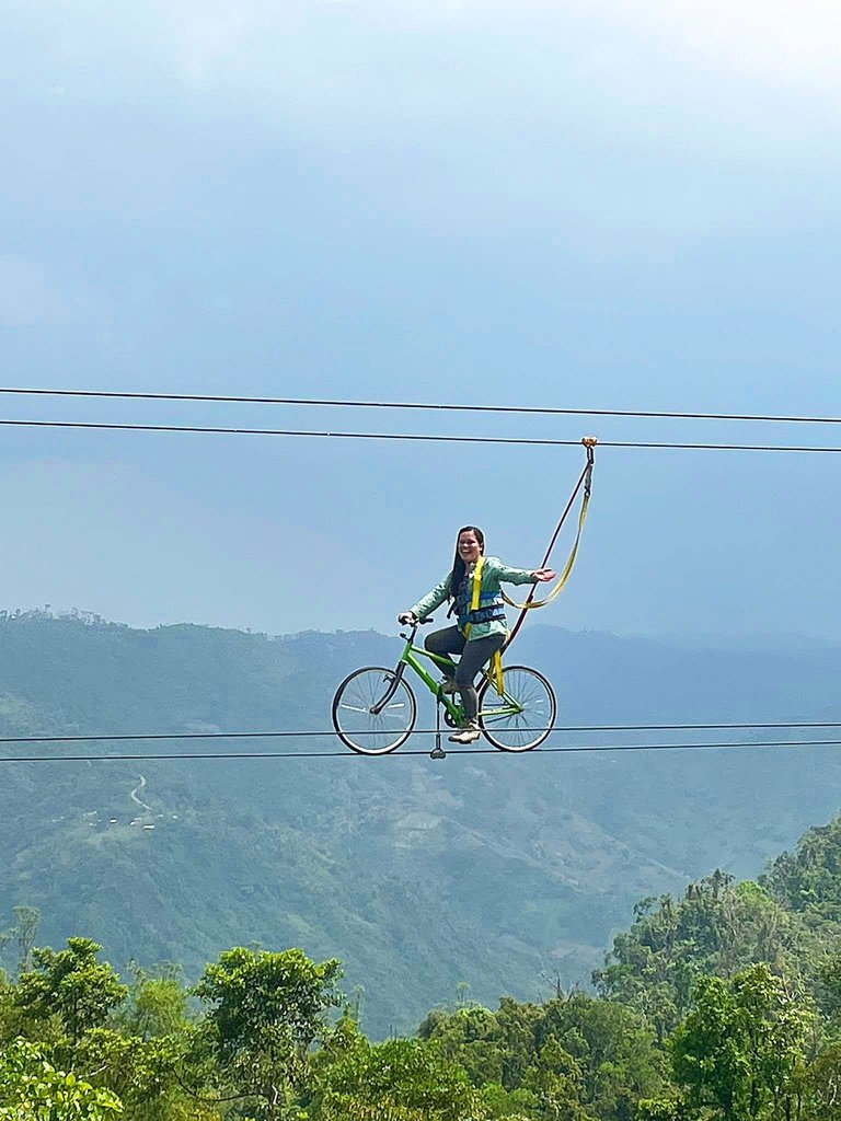
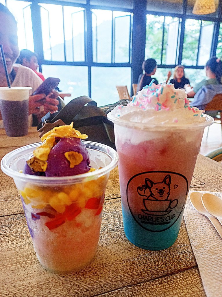
At 3 o'clock in the afternoon, my friends, Rex and I decided to drive home. We had a stop over at Charlie's Cup and enjoyed their yummy drinks.
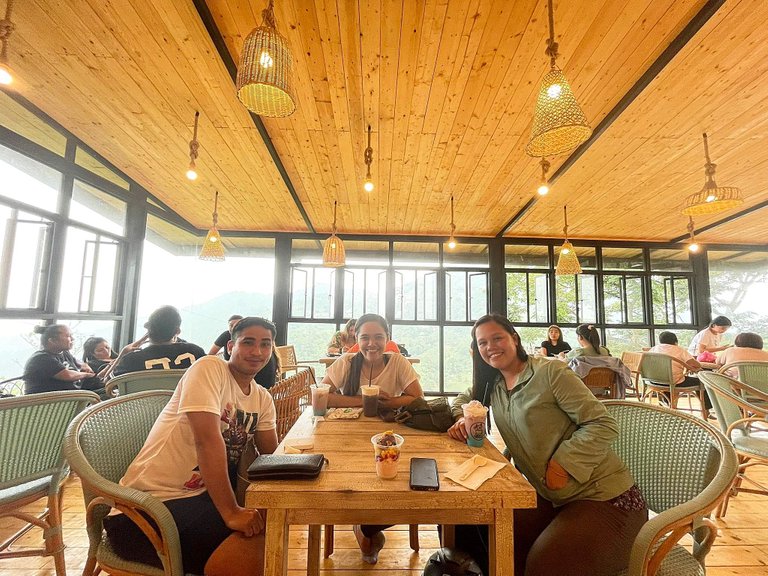
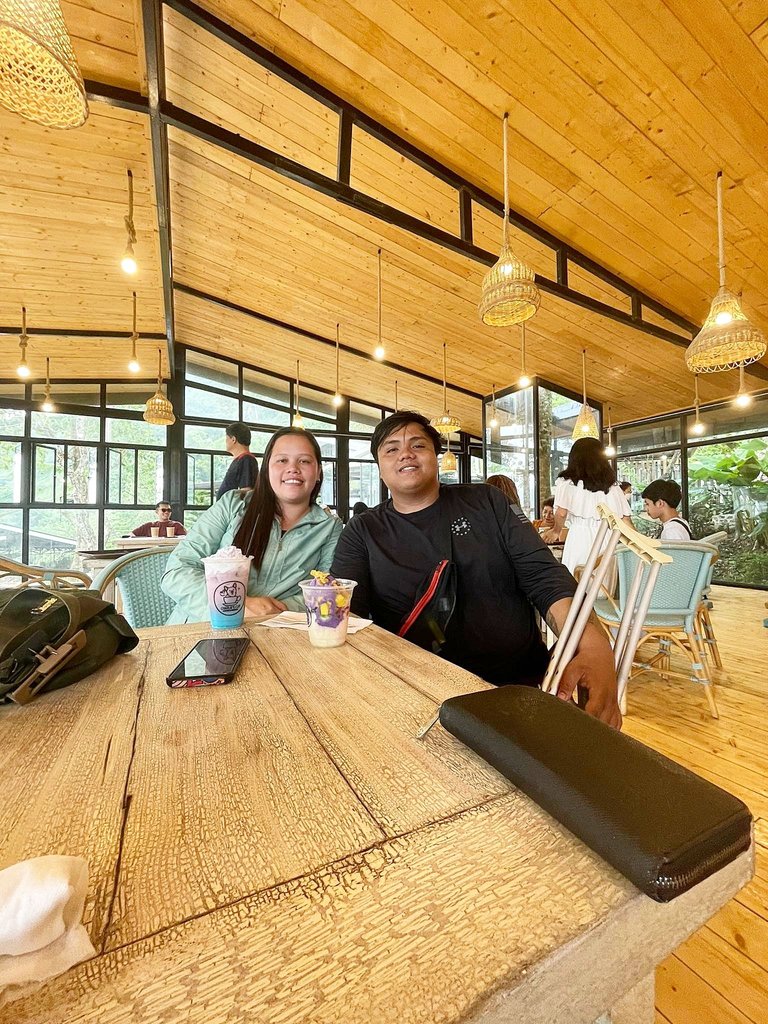
THANK YOU FOR READING THIS POST!
Sabukidblog is a blog of a couple who lives in the countryside of Cebu, Philippines. They decided to create a place where they could inspire their readers by sharing their life experiences, food trips, and travel adventures. They will also be sharing their simple life in the rural area.
If you want to read more stories from sabukidblog- an upvote, comment, follow and reblog would mean a lot to them. Join them as they share their stories together. God Bless everyone.
Nice kaayo ang view at the top ug ang rock formations. 😍😍 Simply breath taking ❤️
nindot kaayo pero hadlok pajud kay lawom kaayo miss. thank you for commenting.
That looks like a great hike, I don't know if I could have stuck it out. But you were occasionally rewarded with plenty of beautiful views.
Best regards! :)
Thank you so much. It was a wonderful reward after all.
!discovery 38
This post was shared and voted inside the discord by the curators team of discovery-it
Join our Community and follow our Curation Trail
Discovery-it is also a Witness, vote for us here
Delegate to us for passive income. Check our 80% fee-back Program
Thank you @discovery-it
Congratulations, your post has been added to Pinmapple! 🎉🥳🍍
Did you know you have your own profile map?
And every post has their own map too!
Want to have your post on the map too?
Daily Travel Digest #1866.
Become part of our travel community:
- Join our Discord
- Learn more about our travel application
Hiya, @lizanomadsoul here, just swinging by to let you know that this post made it into our Honorable Mentions in Your post has been manually curated by the @pinmapple team. If you like what we're doing, please drop by to check out all the rest of today's great posts and consider supporting other authors like yourself and us so we can keep the project going!