We just got back from the Carnival holiday in Brazil, one of my favorite holidays to travel. This time, I went to Serra da Mantiqueira, more specifically to a section known as Serra Fina, located between the cities of Passa Quatro and Itanhandu in the state of Minas Gerais. This was my first time exploring the region, and I was really excited to get to know this place.
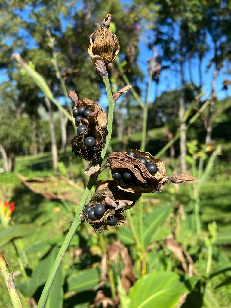
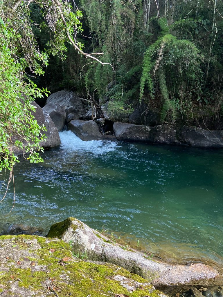
Serra da Mantiqueira is a mountain range that stretches across three Brazilian states: São Paulo, Minas Gerais, and Rio de Janeiro, even serving as a natural border between them. The mountain range has numerous peaks, some of which are among the highest in Brazil, and it is a destination for adventurous travelers who wish to climb these spots. We chose the Serra Fina region because it is full of waterfalls, formed by the cold waters of the Rio Verde, which winds down the mountain. When I was searching for places to visit, it was the photos and videos showing the striking color of the Rio Verde waters that caught my attention and made me want to experience the place.
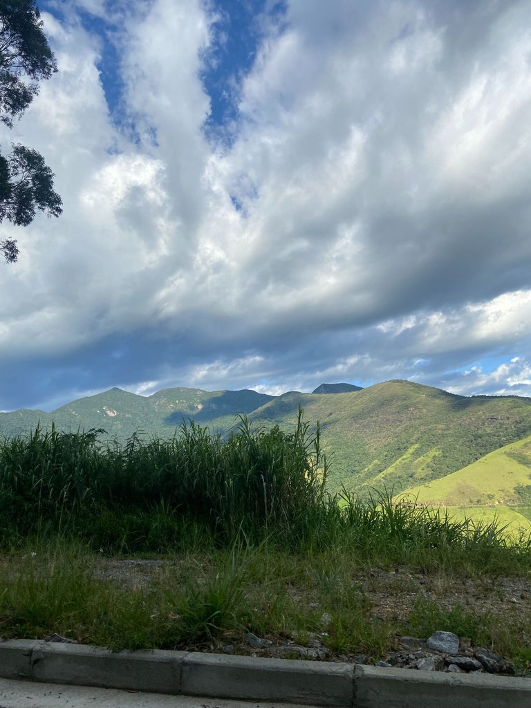
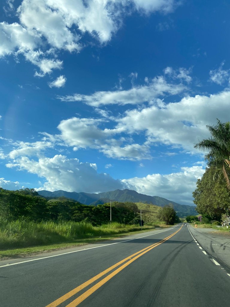
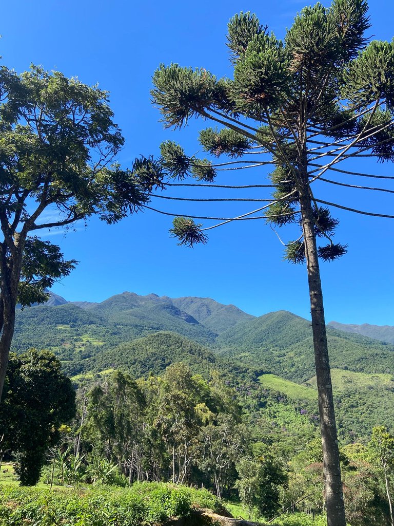
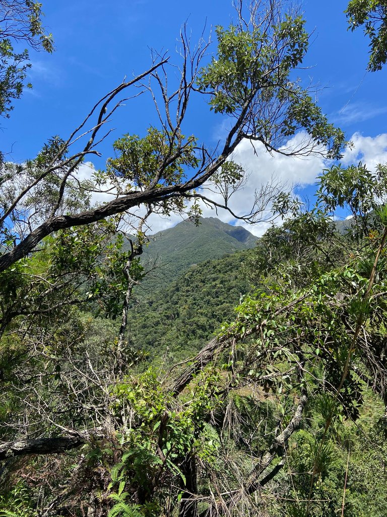
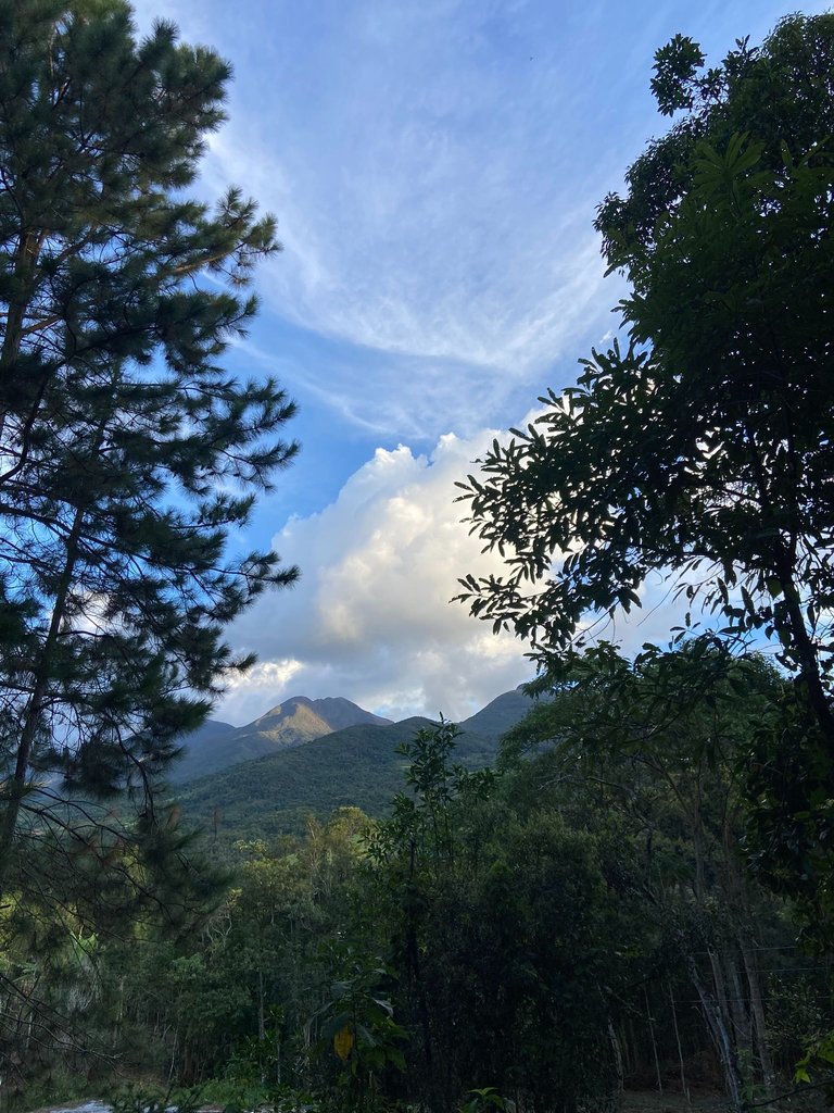
Everything organized, it was time to go. And as we approached the Serra, its beauty could already be seen from afar. In those first images, we started ascending, and it was one breathtaking landscape after another.
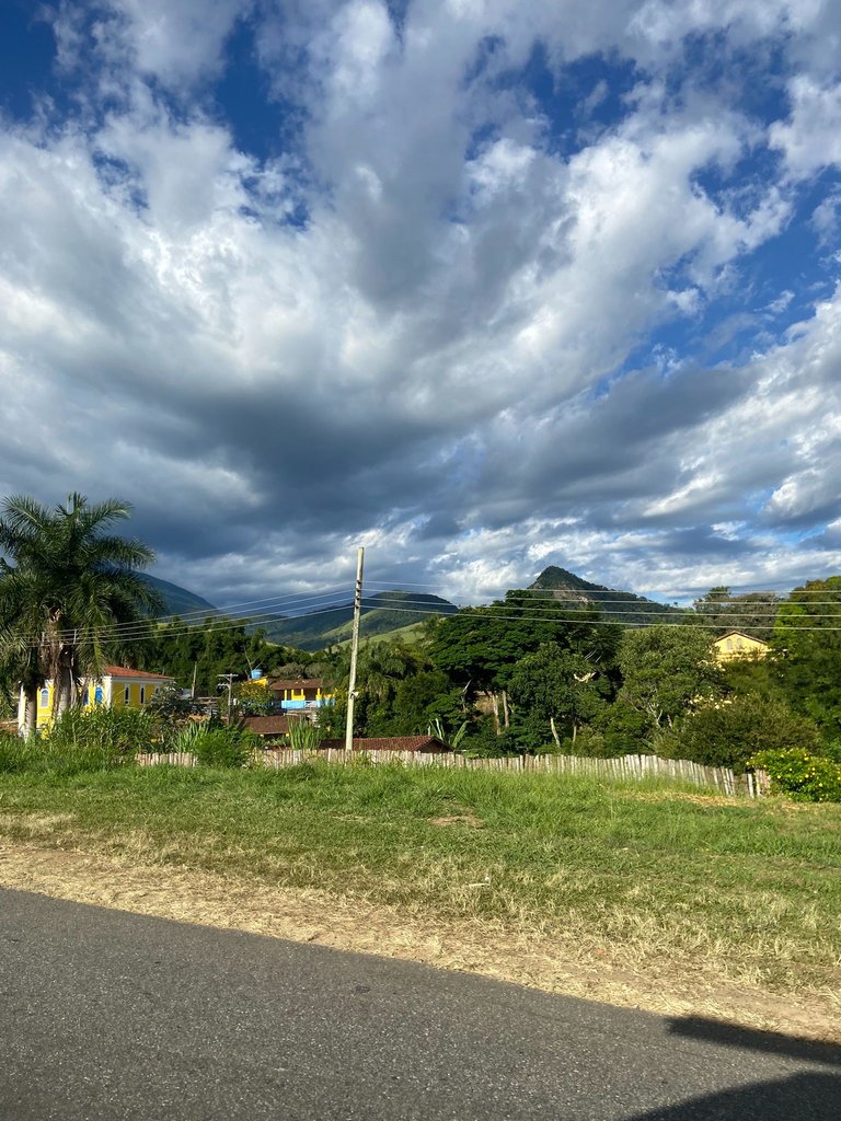
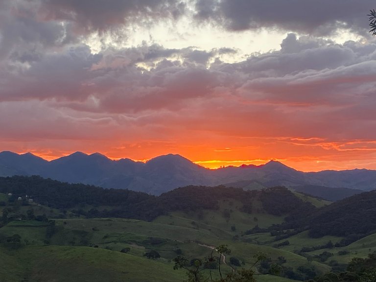
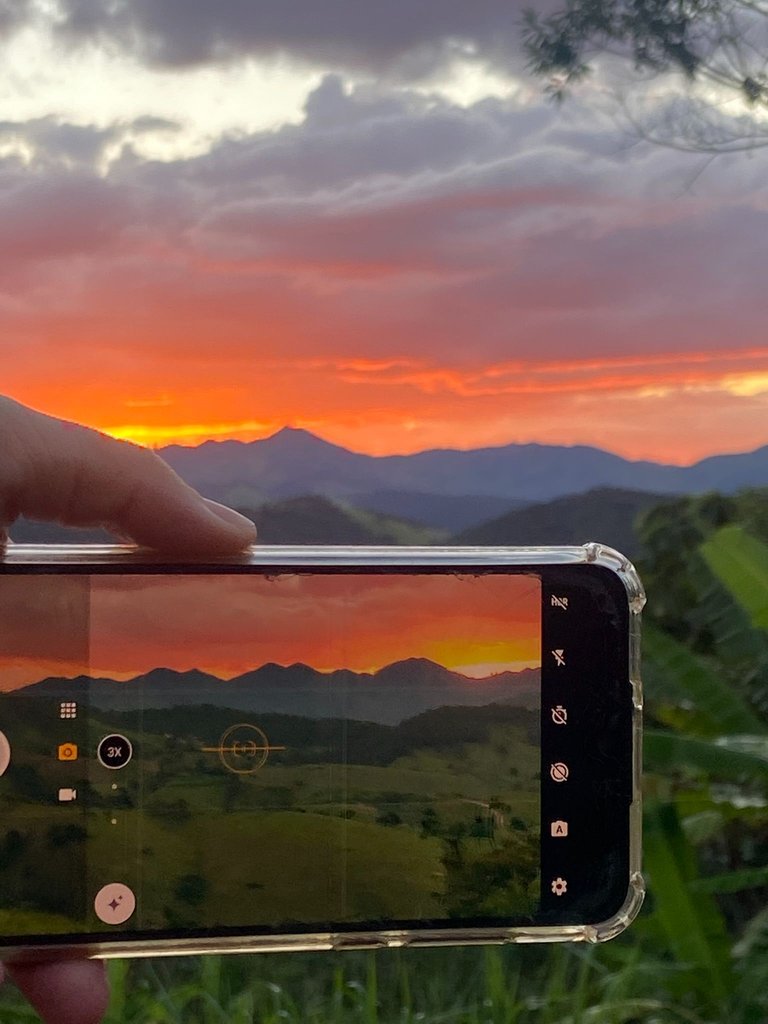
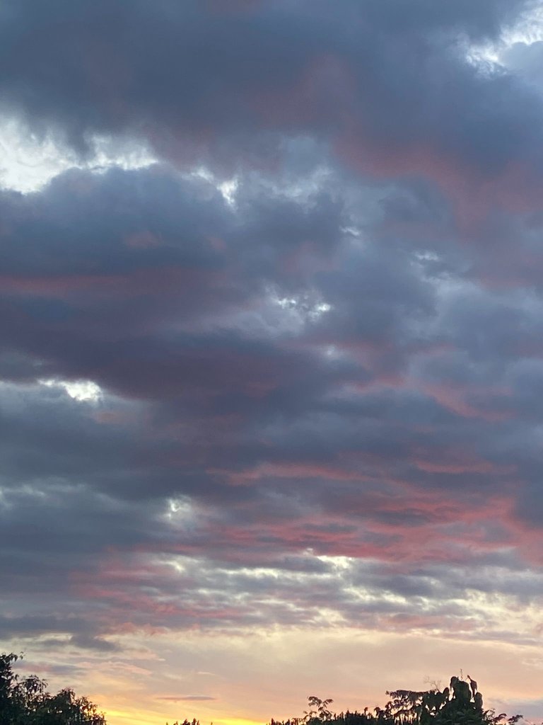
As we approached the rural area of Itanhandu, where the campsite we would be staying at was located, we were surprised by a very rough dirt road. With many holes and rocks, and at some points, steep sections, but it was all totally rewarded by this view of the sunset. I think it was one of the most beautiful sunsets I’ve ever witnessed in my life.
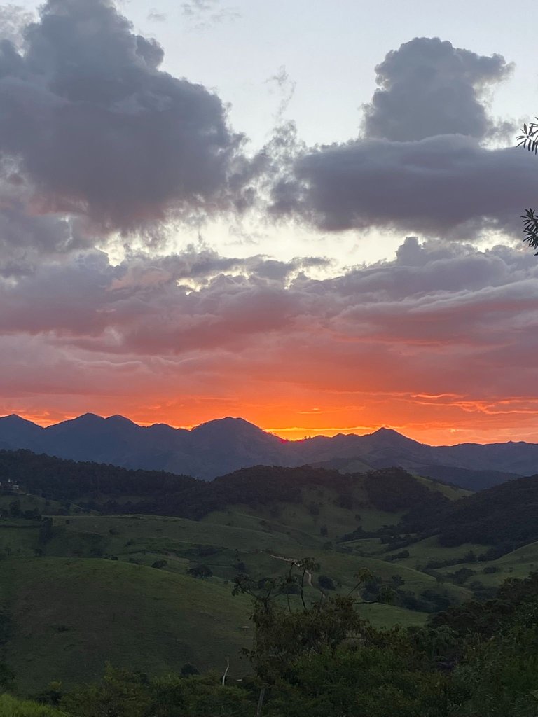
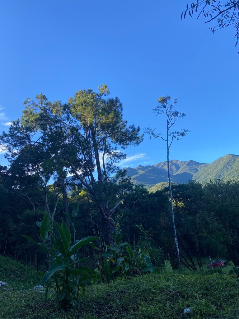
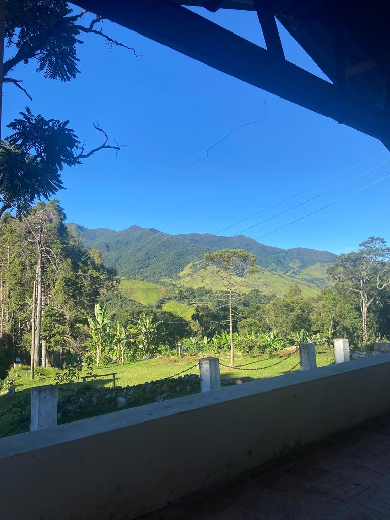
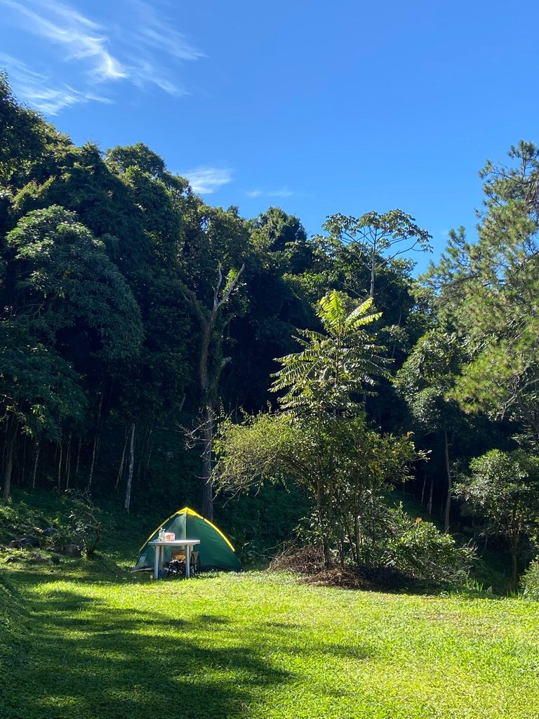
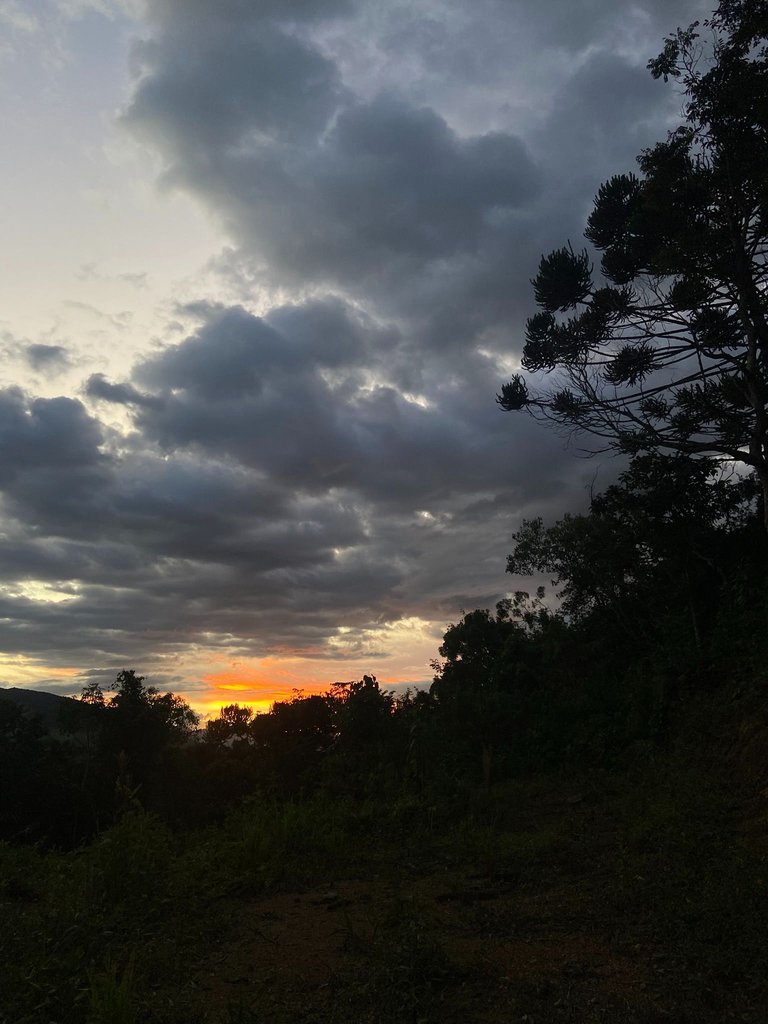
That sunset already prepared me for all the natural beauty that was yet to come. And upon arriving at the campsite, once again, it was the surreal landscape that left us speechless. The campsite was about an hour away from the city, and due to the road, it was quite isolated. Exactly what we wanted.
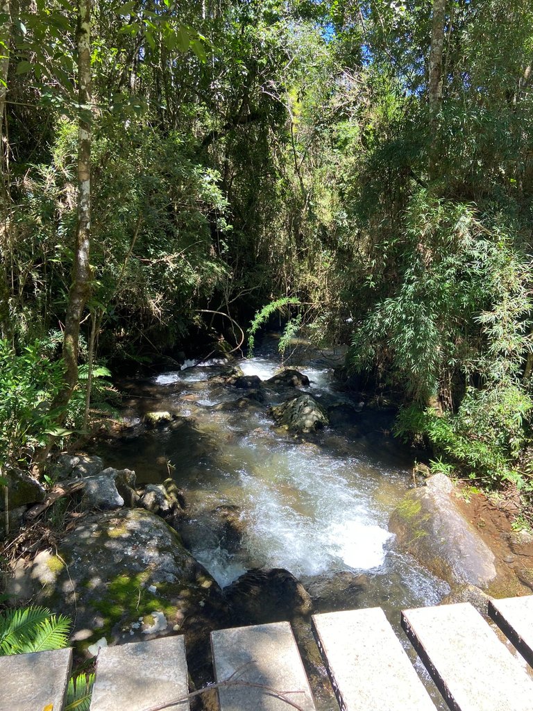
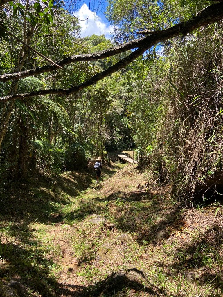
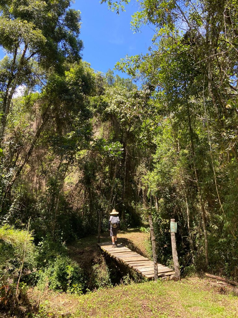
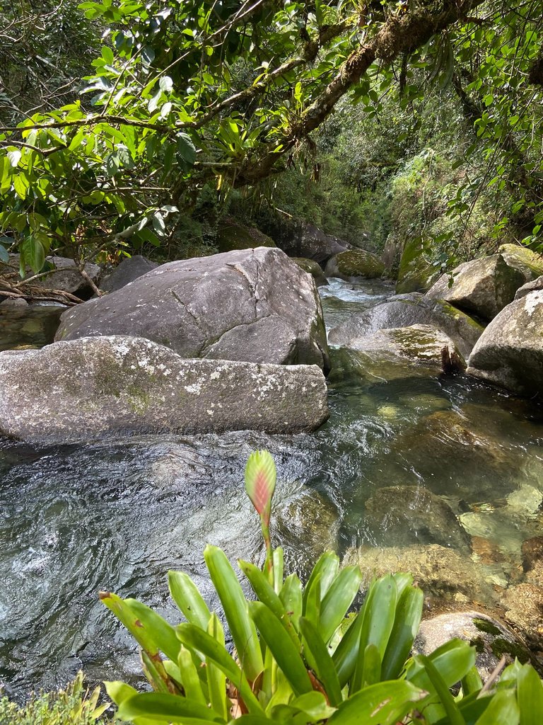
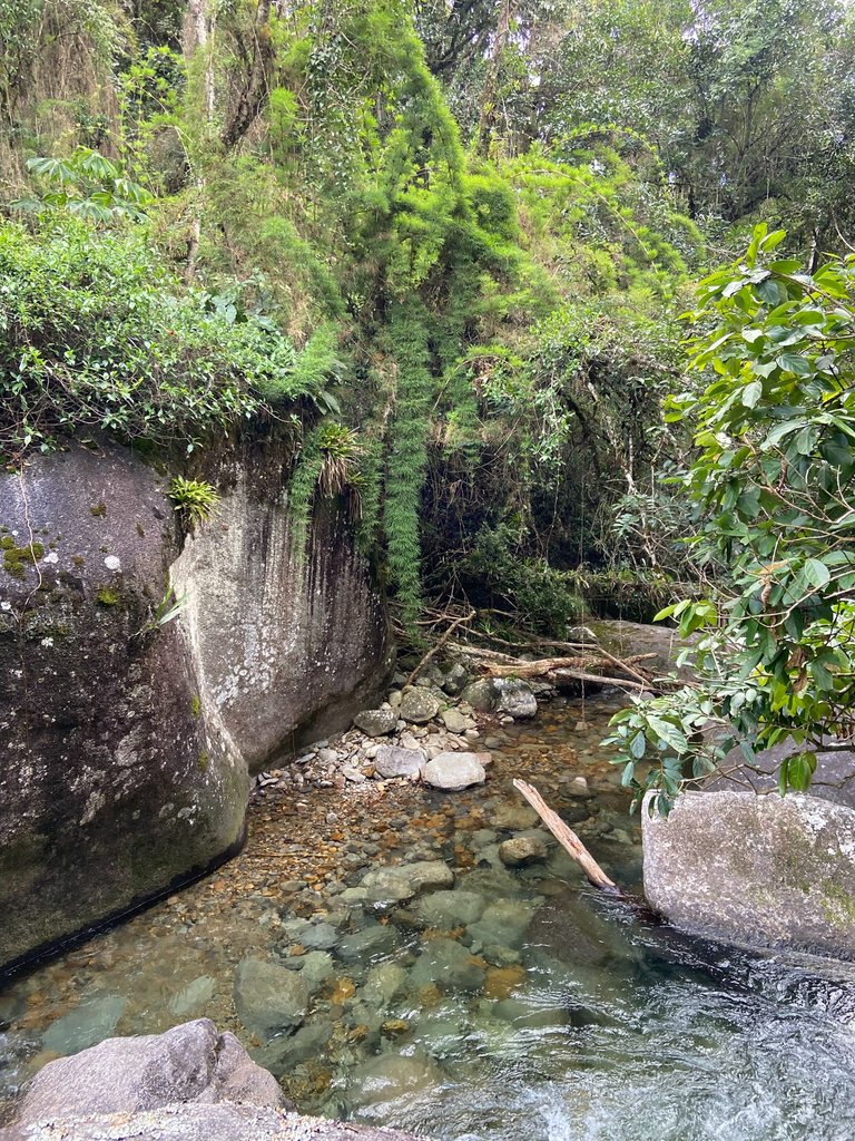
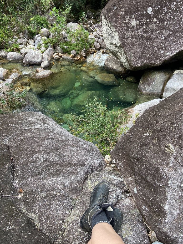
The next morning, we prepared to start the hike, and the recommendation was to begin with the most beautiful spot and, on the way back, stop at the other ones along the trail. So, we headed towards Poço Esmeralda and Cachoeira Dois Irmãos, which were the farthest from the campsite, about three kilometers away. However, along the way, the trail itself was already absolutely beautiful, and we took it slow on the first day, stopping, taking photos, and truly exploring the places.
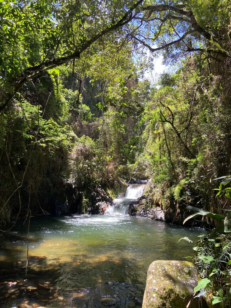
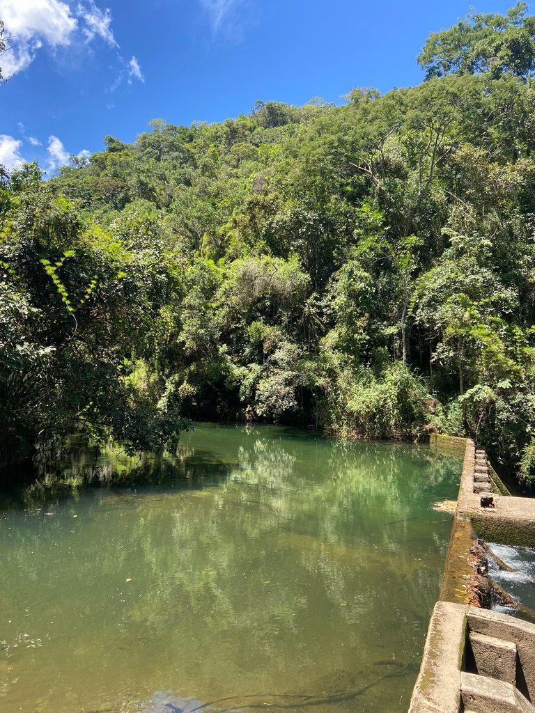
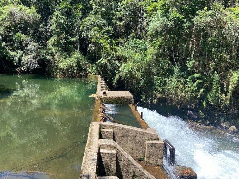
One of the points that caught our attention during this stop was the dam of the old Lamins Power Plant reservoir, which is no longer active, but the dammed area and some old, quite damaged ducts are still there. Anyway, it’s a very peculiar spot, also marking the meeting of two rivers: the Rio Verde and the Rio Vermelho. The latter is considered by locals to be a river with darker waters, but still incredibly clear, especially when compared to the rivers in the region where I live.
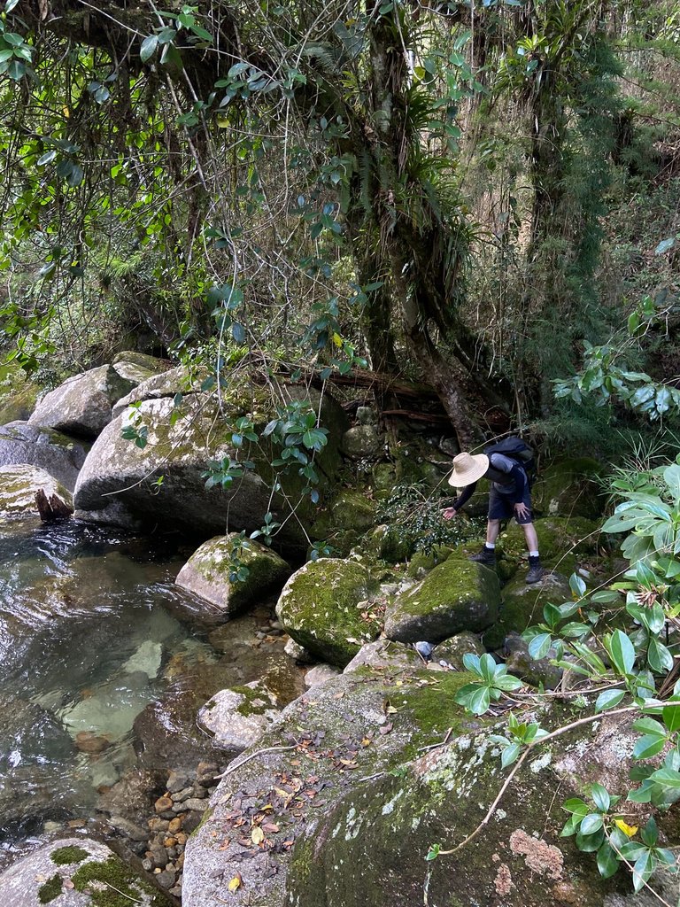
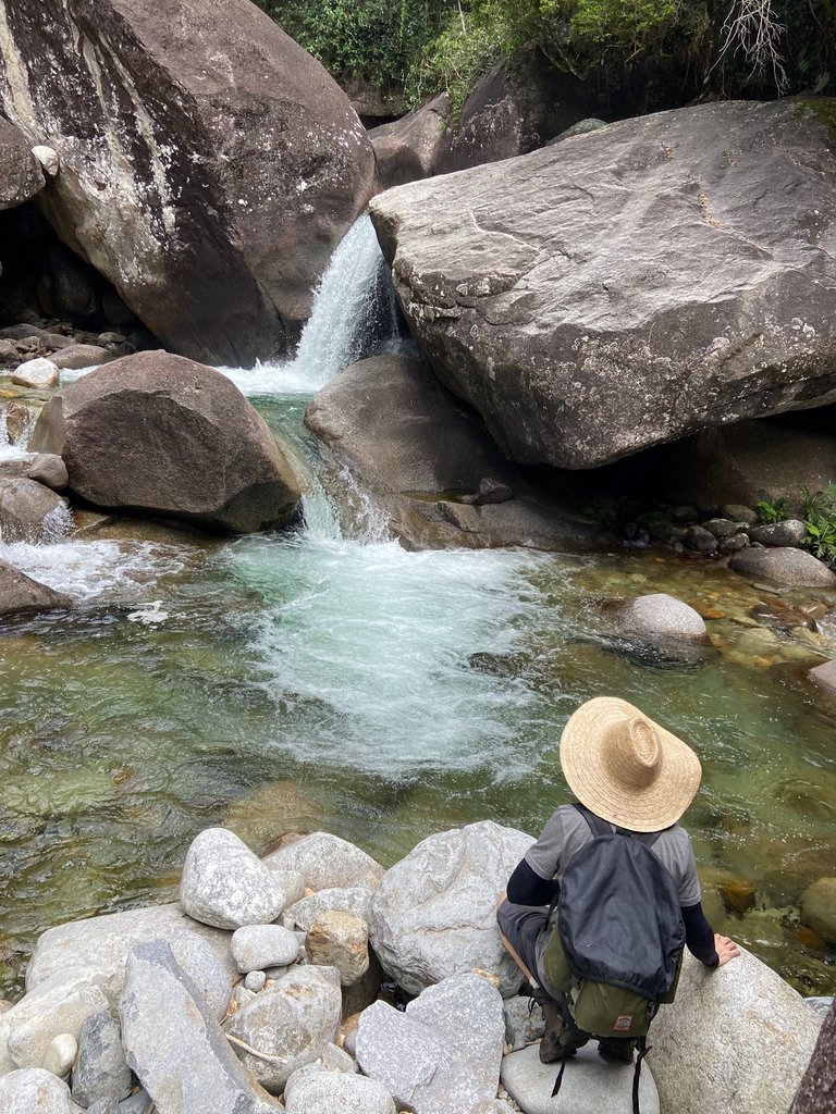
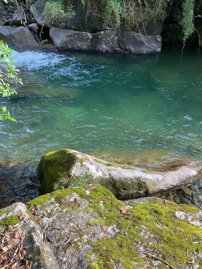
After stopping at the reservoir to check out the place, we continued the trail, climbing up the mountain towards Poço Esmeralda. It was quite hot, and we sweated a lot on this stretch because the ascent is really intense. I’d say it’s a medium-level trail, not exactly for beginners. And when we finally reached Poço Esmeralda, it was all worth it. It was incredibly rewarding because we arrived at a time when the sun was directly hitting the pool, and I’ll let the photos speak for themselves.
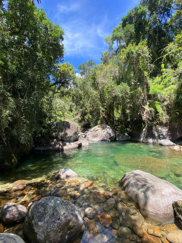
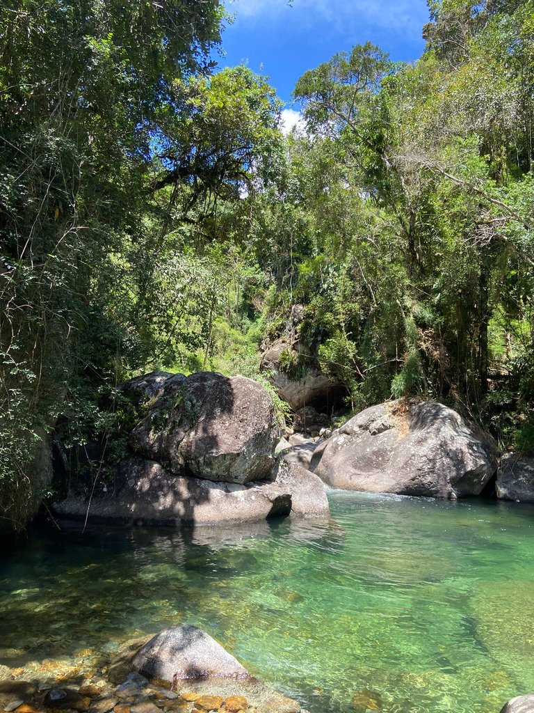
I don’t think I’ve ever seen anything like it, and this was definitely my favorite spot. Absolutely mesmerizing. So much so that I didn’t even mind the freezing water and jumped in without much hesitation. Even though I didn’t expect to dive into the coldest water ever.
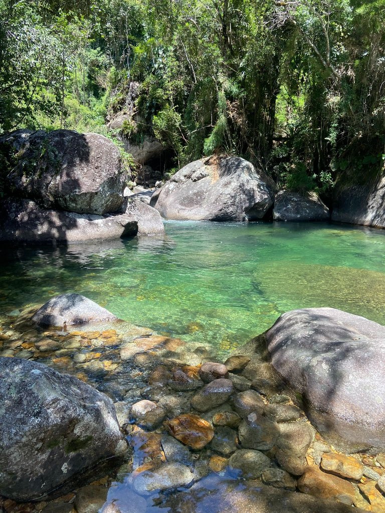
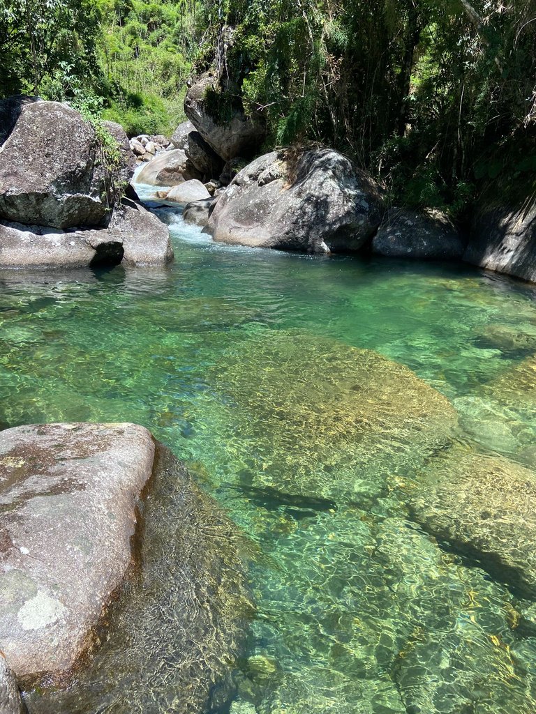
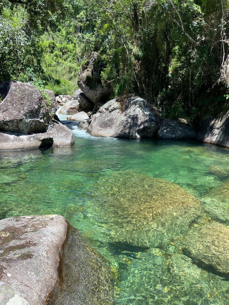
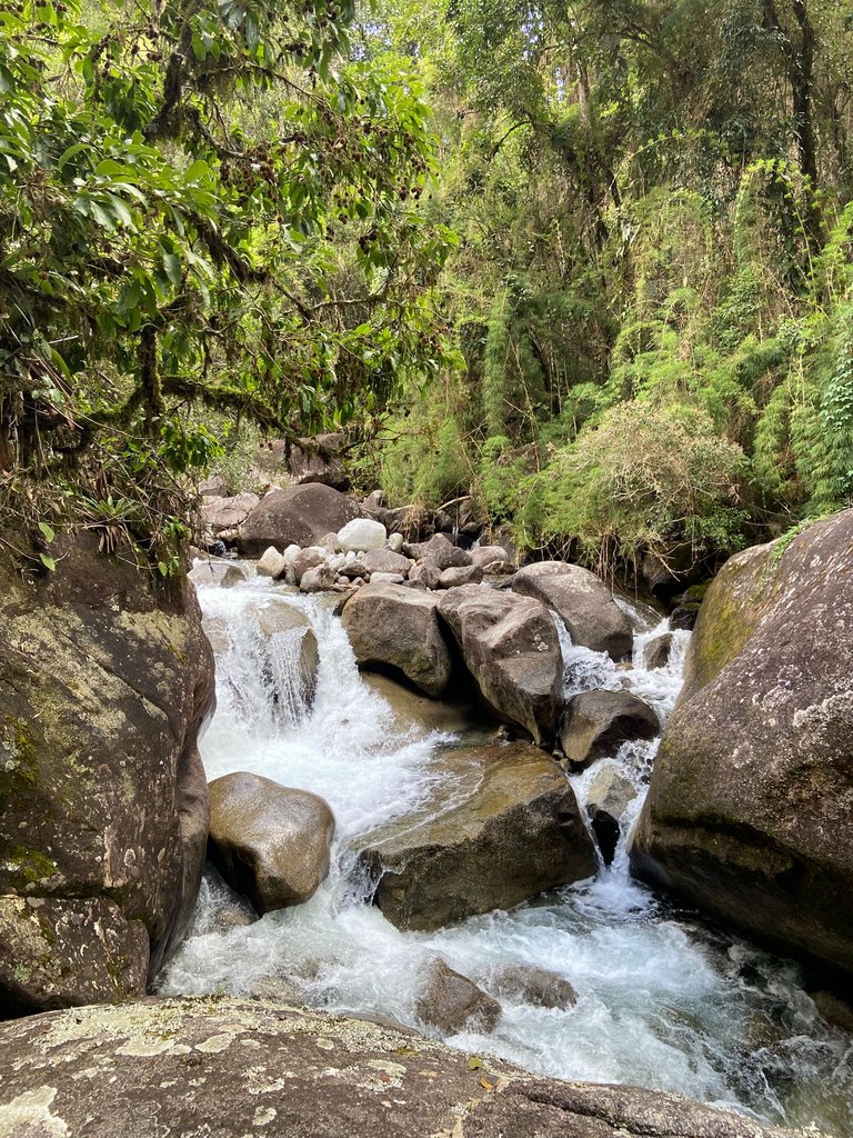
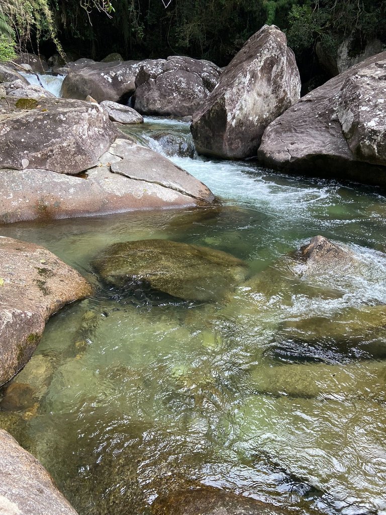
After spending some time enjoying the Poço, we got ready to head back on the trail and this time stop at other waterfalls along the way: Dois Irmãos and Toca da Onça. Both are also located on the Rio Verde, with very clear water. The most surprising thing about these places is that no two pools are the same, and that’s why you feel the urge to visit them all, to discover their unique features.
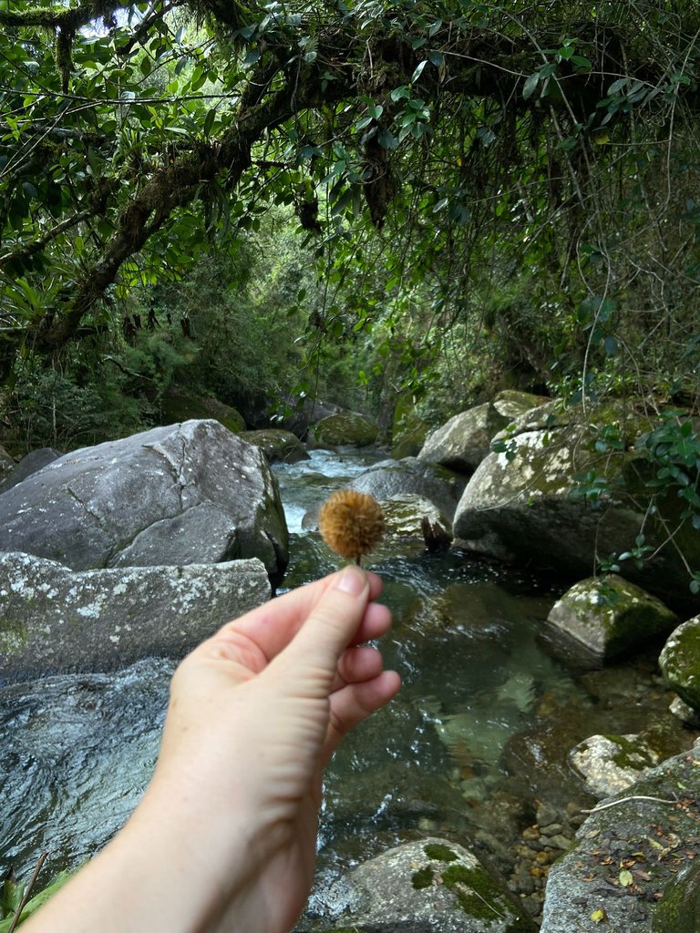
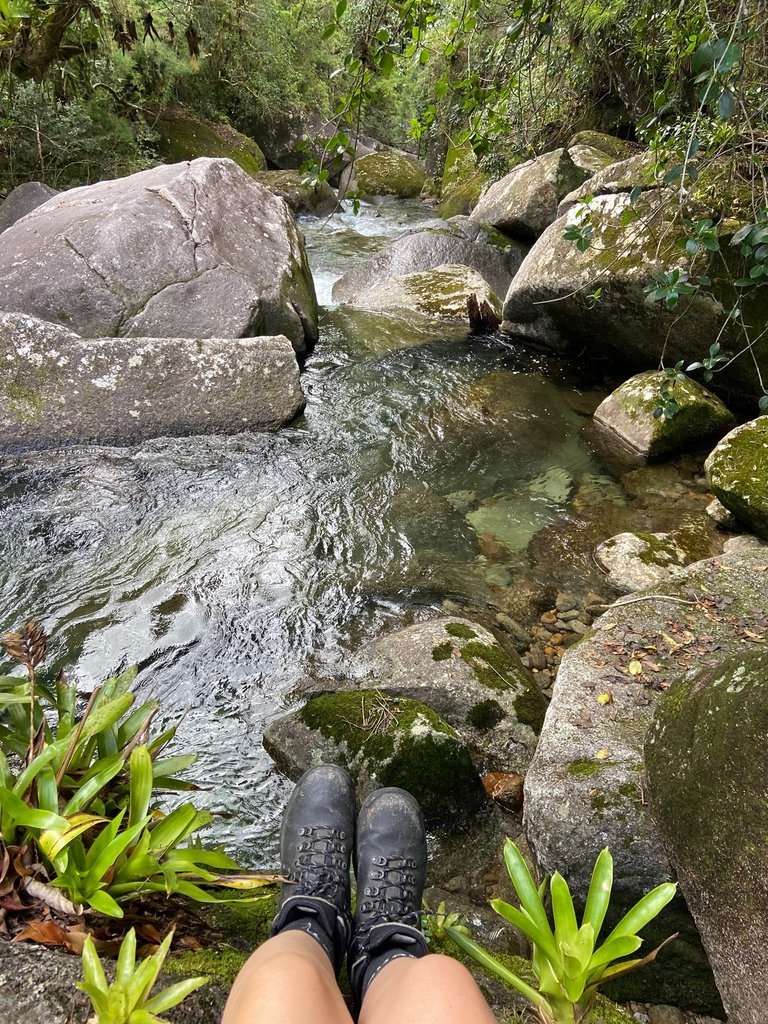
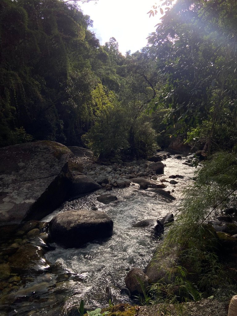
We spent the whole day exploring the place, discovering waterfalls, going up and down trails that were sometimes very difficult, requiring even a bit of "rock climbing" hanging on ropes. At the end of the day, we returned to the campsite to rest.
That was just the first day in Serra da Mantiqueira, and I’ll share more about what we explored there in the next post.
See you soon.
[//]:# ([//]:# (!worldmappin -22.37703 lat -44.89027 long d3scr))
que poço mais lindo, delícia de viagem
Obrigada Carol! Realmente é um lugar maravilhoso.
What a wonderful area!!🌸🌸
Absolutely gorgeous!
Wow, it looks like a very beautiful picture my friend 🤗🤗🤗
Thanks!
Sounds like an amazing adventure! The views, waterfalls, and that sunset all sound breathtaking.
I agree with you. Everything was breathtaking
After having tons of fun at the Brazilian carnivals, there is nothing better than this wonderful landscape full of peace and good energy. Beautiful place, blessings.
Glad that you liked it!
You can check out this post and your own profile on the map. Be part of the Worldmappin Community and join our Discord Channel to get in touch with other travelers, ask questions or just be updated on our latest features.
Congratulations @silviamaria!
You raised your level and are now a Minnow!
Check out our last posts: