During the second weekend in September, I was thinking about where to go out into nature. The weather forecast was not very favorable and it was supposed to rain on Saturday afternoon. That's why I originally wanted to go to the Kamenice River for just one day. But on Saturday morning the forecast improved and so I decided to go to the Krkonoše Mountains.
Během druhého víkendu v září jsem jsem přemýšlel kam vyjet do přírody. Předpověď počasí nebylo moc příznivá a v sobotu odpoledne mělo pršet. Proto jsem původně chtěl jet jen na jeden den na řeku Kamenici. Jenže v sobotu ráno se předpověď vylepšila a tak jsem se rozhodl vyrazit do Krkonoš.
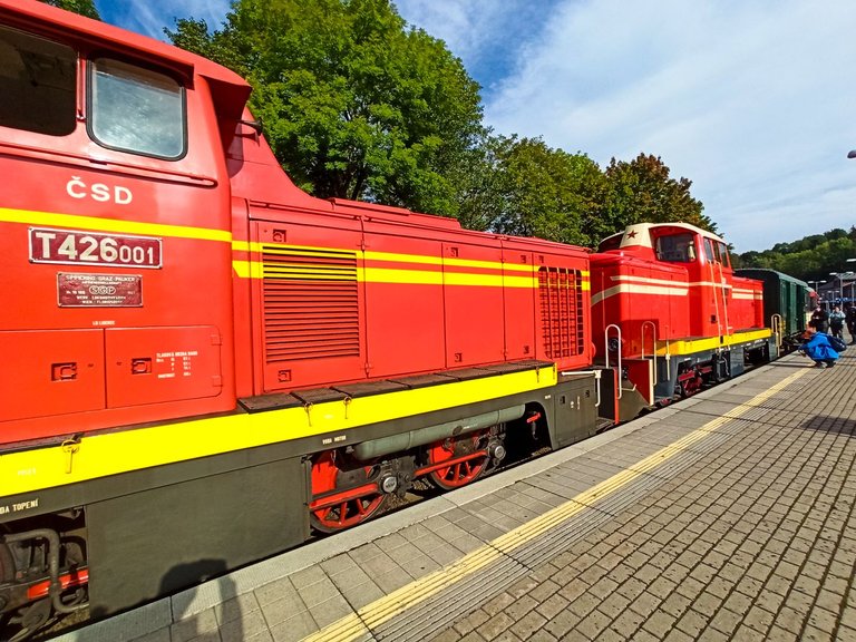
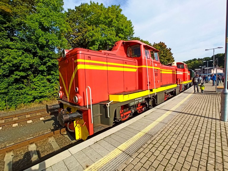
At the transfer in Tanvald, there were a lot of people at the station, because the festival was held in Kořenov and a historic train was sent from Tanvald along the local cog line.
Na přestupu v Tanvaldu bylo na nádraží spousta lidí, protože se konala sláva v Kořenově a z Tanvaldu byl vypraven historický vlak po místní zubačkové trati.
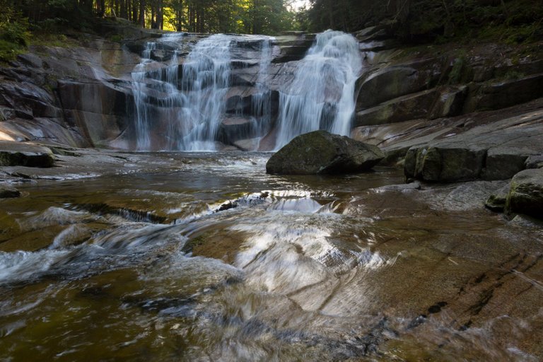
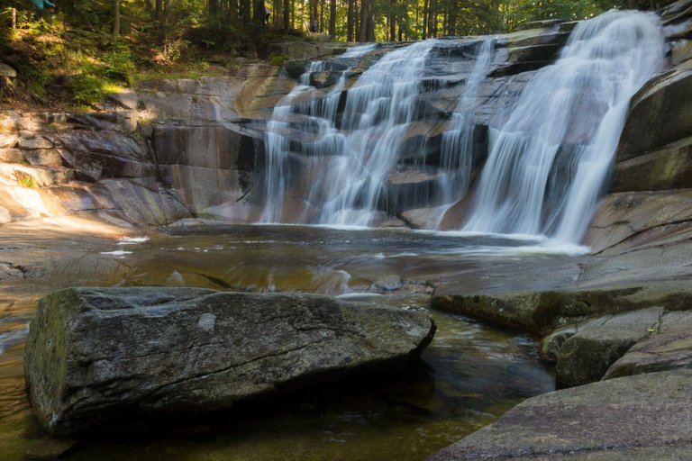
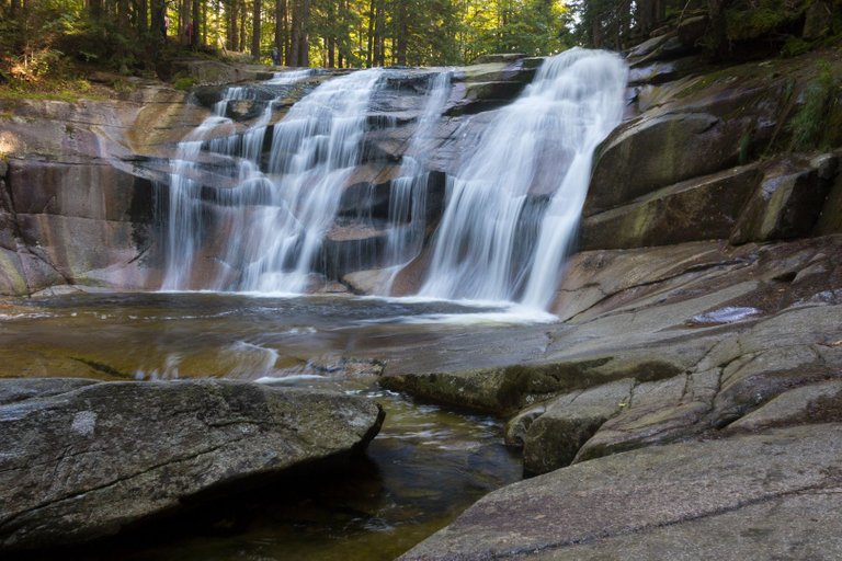
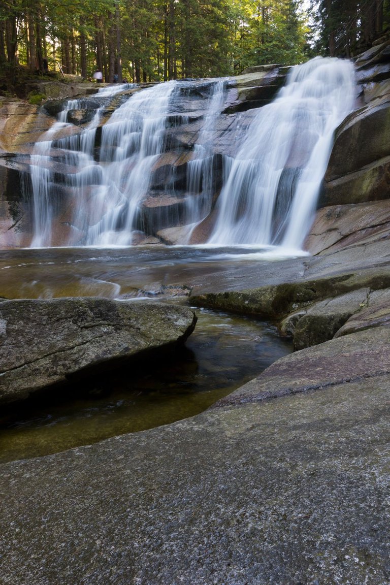
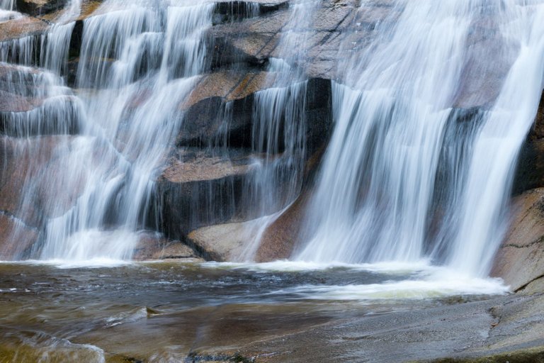
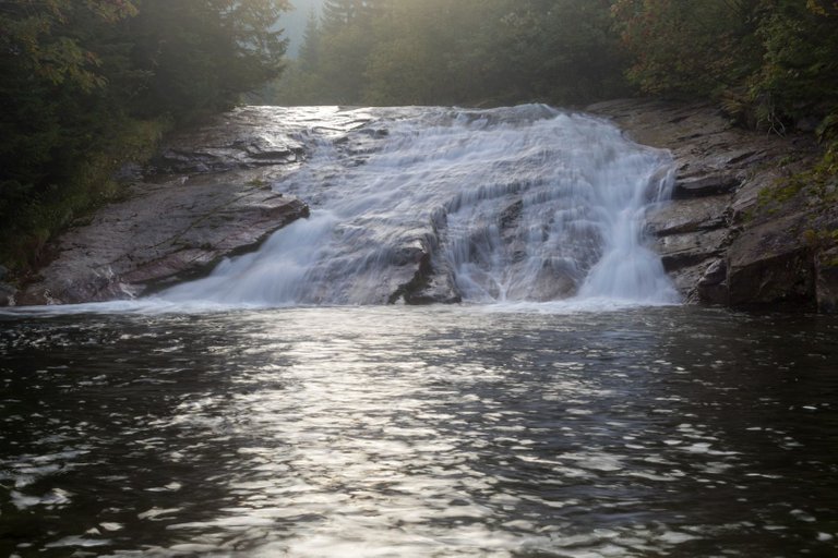
I continued until Harrachov, so I took a normal train like on the last trip from Poland. On the outskirts of Harrachov, I bought food for two days and went to the first point of interest. These are the Mumlava waterfalls, which are the most powerful in the Czech Republic.
Já jsem pokračoval, až do Harrachova, takže jsem jel normálním vlakem jako při poslední cestě z Polska. Na okraji Harrachova jsem nakoupil jídlo na dva dny a vyšel k první zajímavosti. Tím jsou Mumlavské vodopády, které jseou nejmohutnější v ČR.
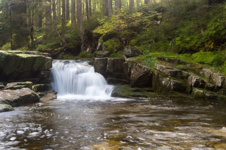
The entire Mumlava river is formed by small waterfalls, so there were plenty of places to take photos.
Celá říčka Mumlava se skládá u malých vodopádů a tak bylo míst k focení dostatek.
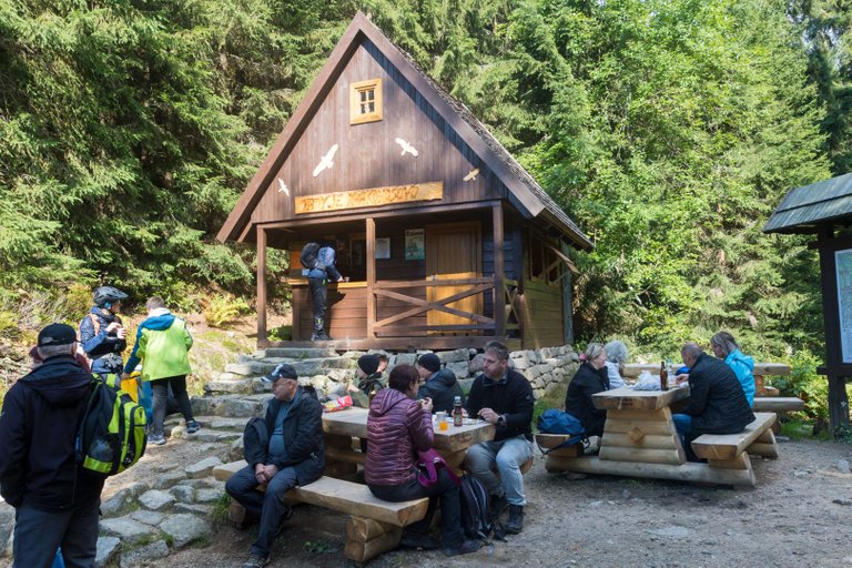
At the confluence of two streams, there is a Krakonoš breakfast, where I had a sausage and lemonade.
Na soutoku dvou potoků je občerstvení Krakonošova snídaně, kde jsem si dal klobásu a limonádu.
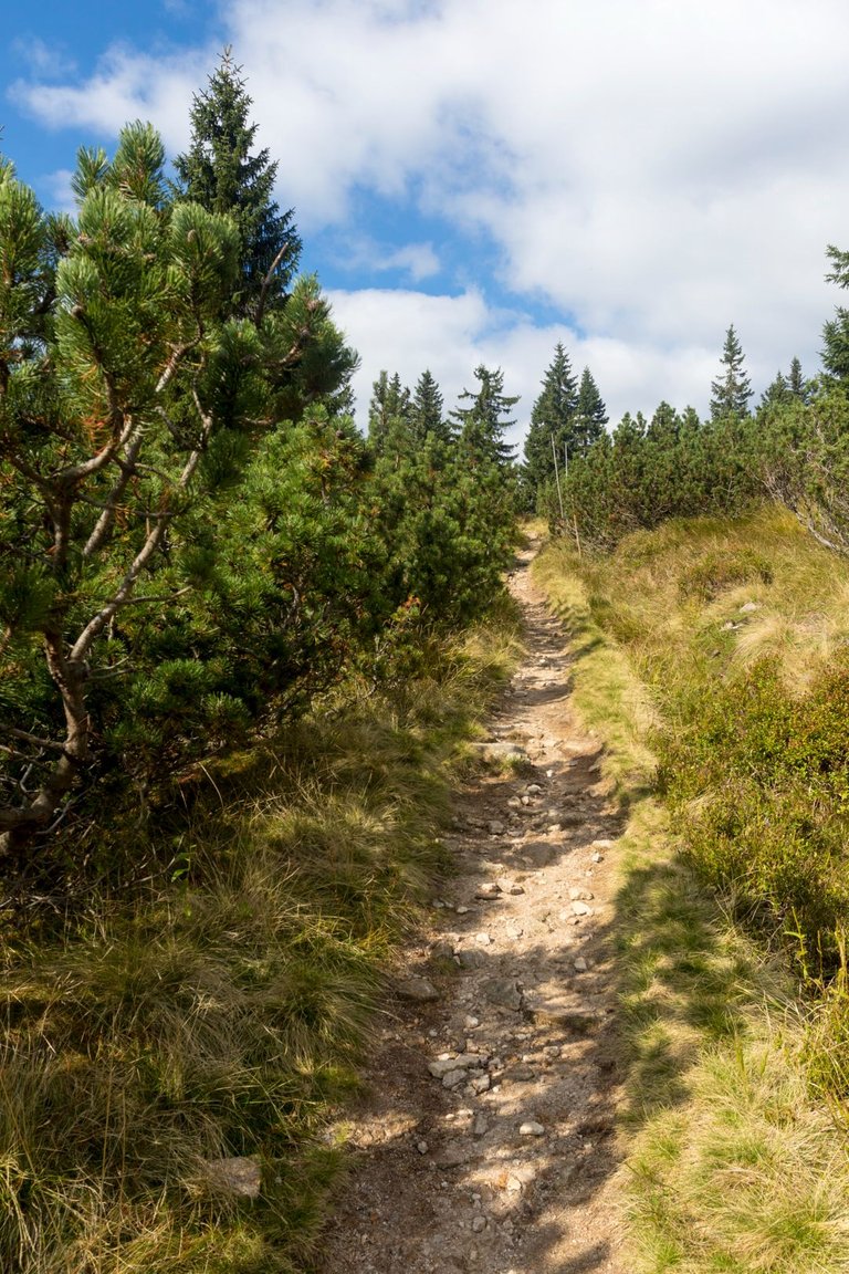
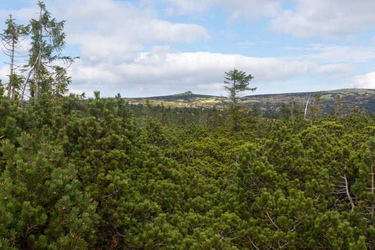
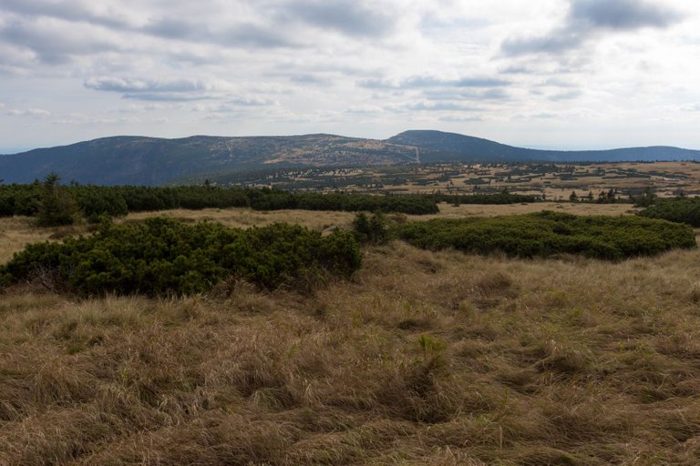
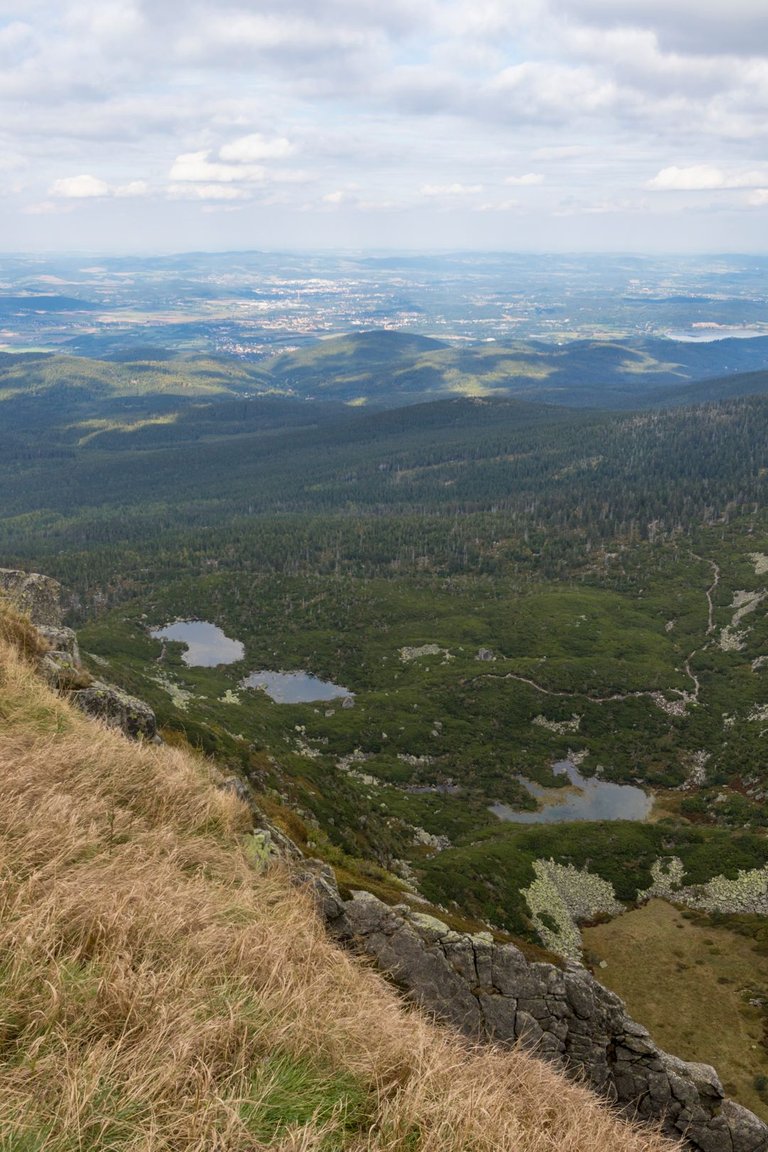
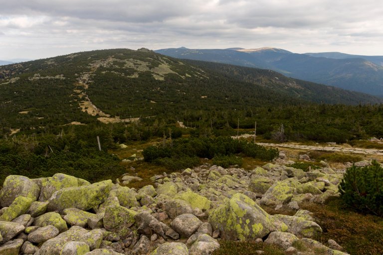
After refreshments, I headed towards the ridge. Where the landscape changed considerably and became mountain tundra. A similar landscape in Europe can only be found in Scandinavia and Russia.
Po občerstvení jsem zamířil směr hřeben. Kde se krajina značně změnila a začala být horskou tundrou. Podobnou krajinu v Evropě najdeme pouze ve Skandinávii a v Rusku.
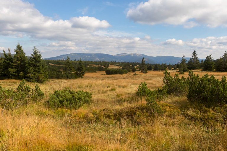
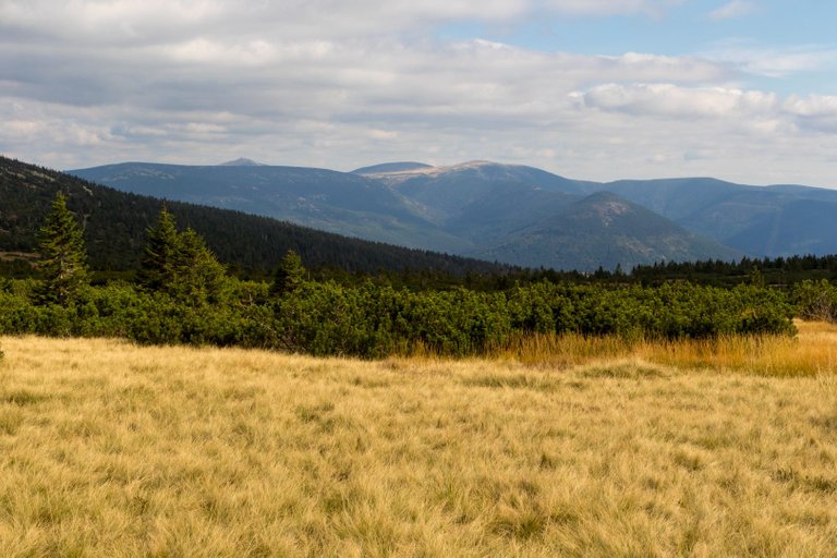
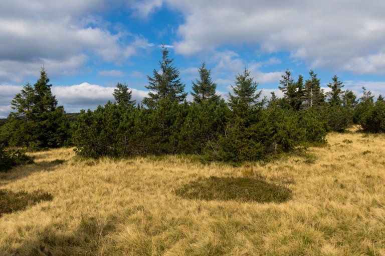
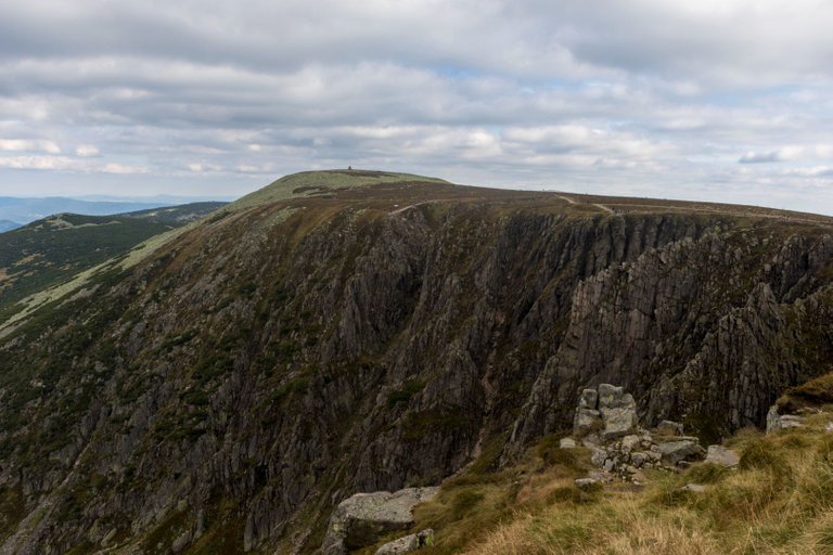
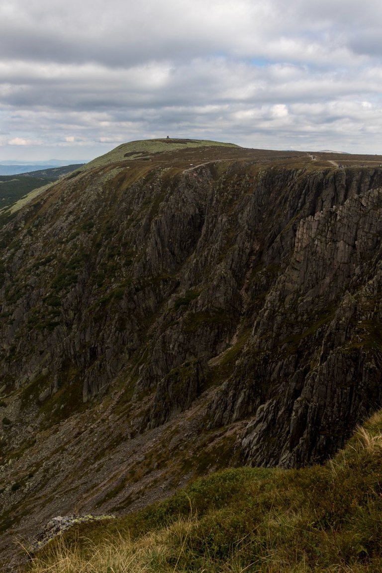
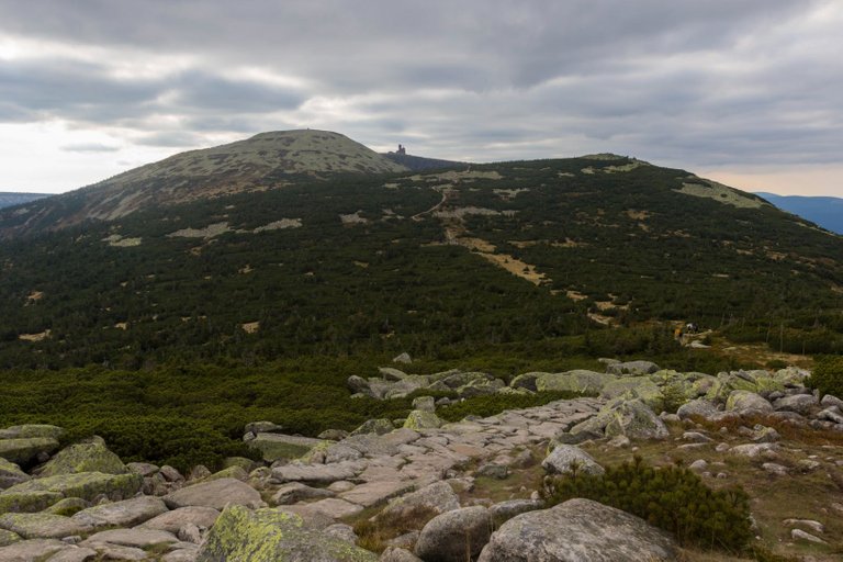
For the first time I saw the main ridge with the highest mountain Sněžka (1602m). The colors of the grasses contrasted with the dark green pines were just perfect.
Poprvé jsem uviděl hlavní hřeben s nejvyšší horou Sněžkou (1602m). Barvy trav v kontrastu s tmavě zelenými borovicemi byly prostě perfektní.
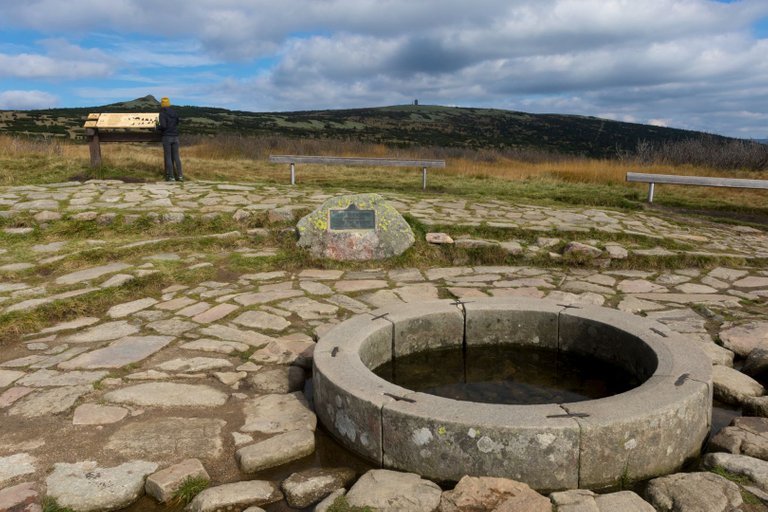
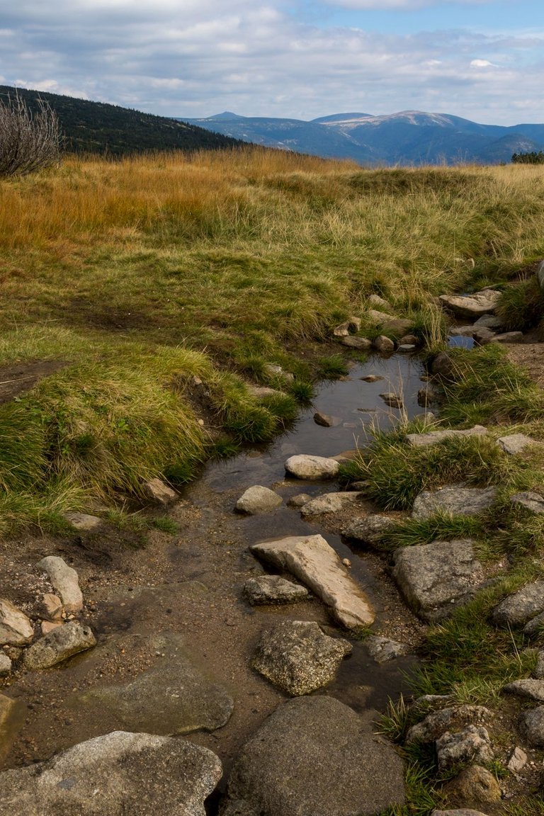
Through the autumn-colored tundra, I reached the source of the largest Czech river, the Elbe.
Skrz podzimně zbarvenou tundru jsem došel k prameni největší České řeky Labi.
From the spring I went north to the Polish border, where there were even more tourists than at the Elbe spring.
Od pramene jsem šel severně k Polské hranici, kde bylo ještě více turistů než u pramene Labe.

I also encountered the remains of the first snow that had fallen a few days before my visit.
Potkal jsem i pozůstatky prvního sněhu, který napadl několik dní před mojí návštěvou.
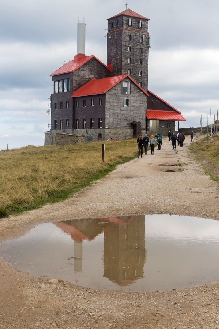
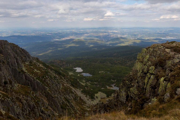
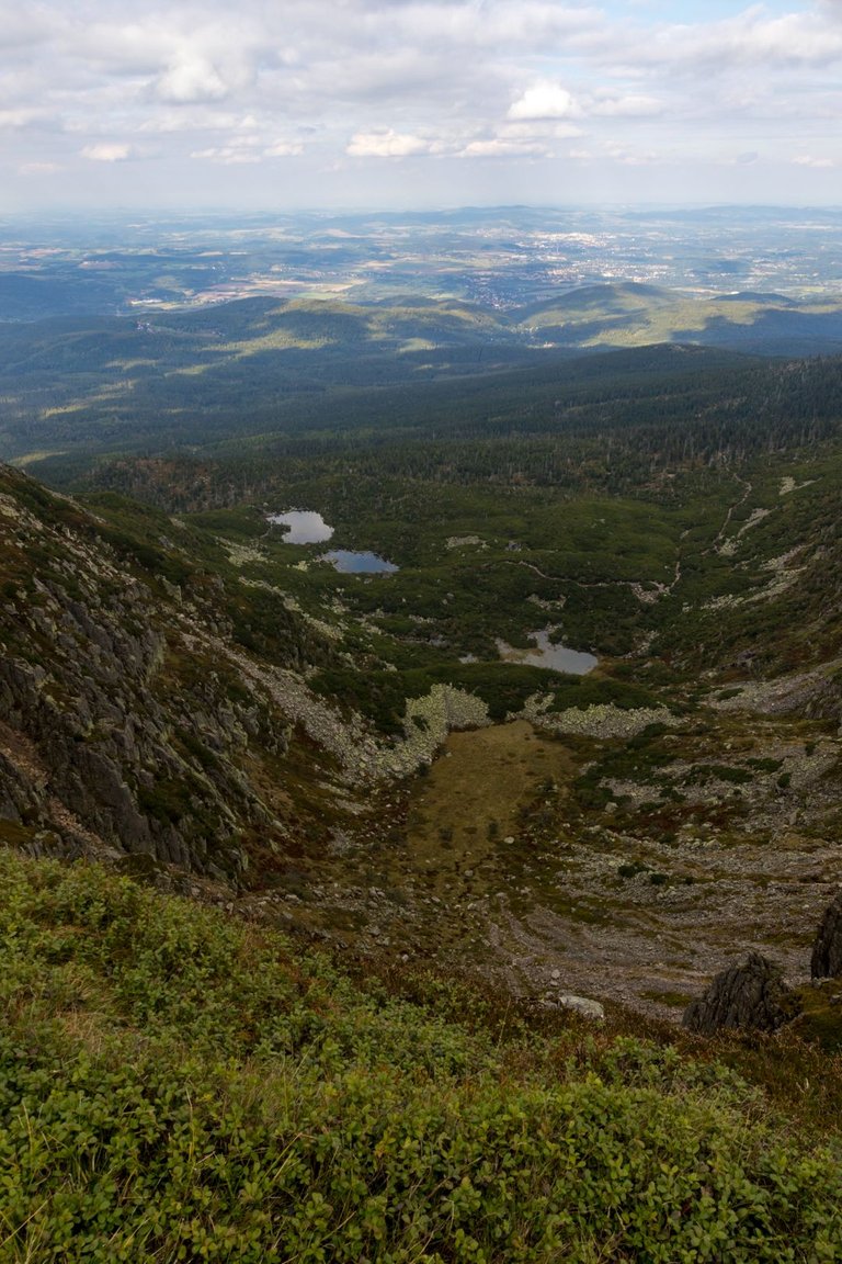
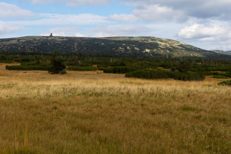
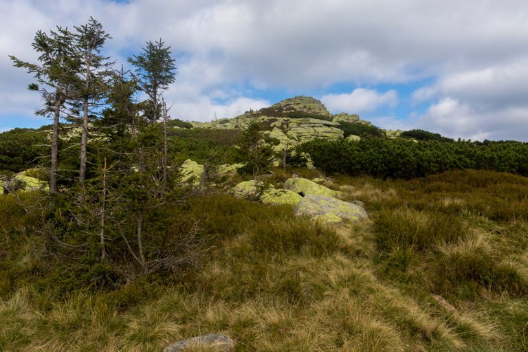
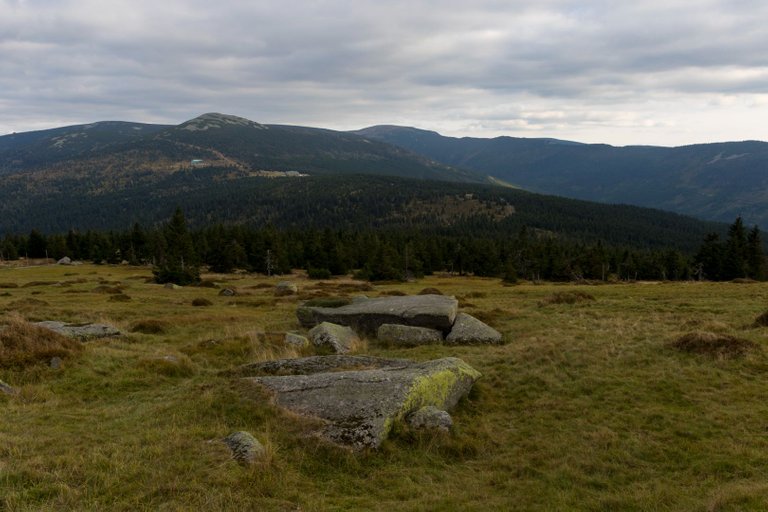
Passing the Vysoká plaň transmitter (1497m), I reached the Snow pits. Which is probably the most beautiful place in the entire Krkonoše, because it looks quite wild. In addition, cloud cover came, which dramatized the place.
Kolem vysílače Vysoká pláň (1497m), jsem došel k Sněžným jámám. Což je asi nejhezčí místo celých Krkonoš, protože vypadá dosti divoce. Navíc přišla oblačnost, která místo zdramatizovala.
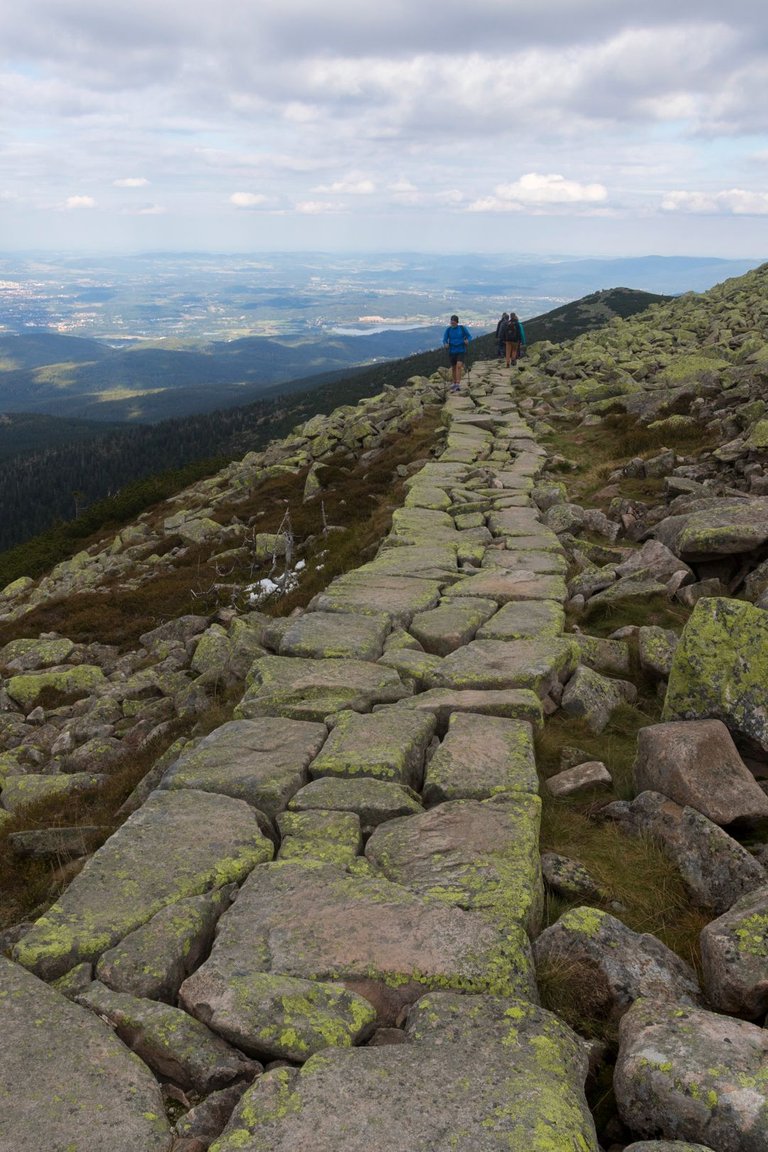
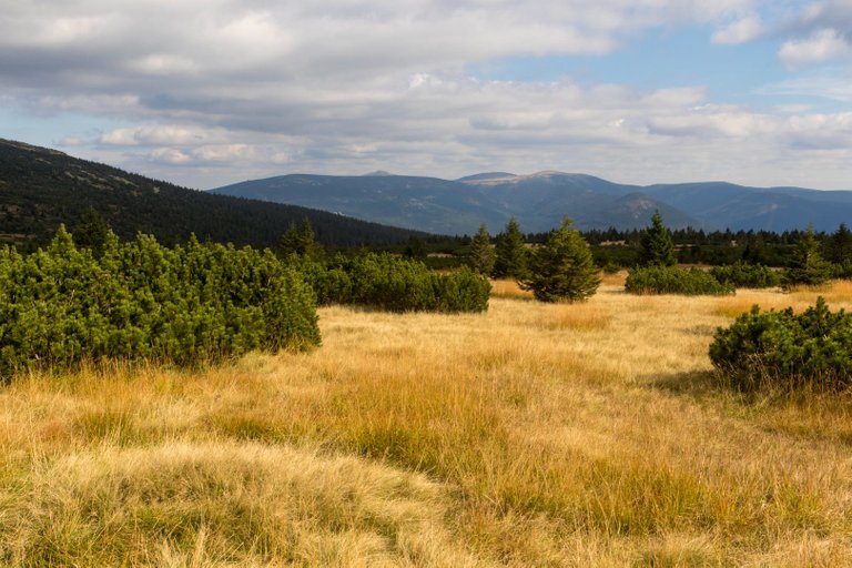
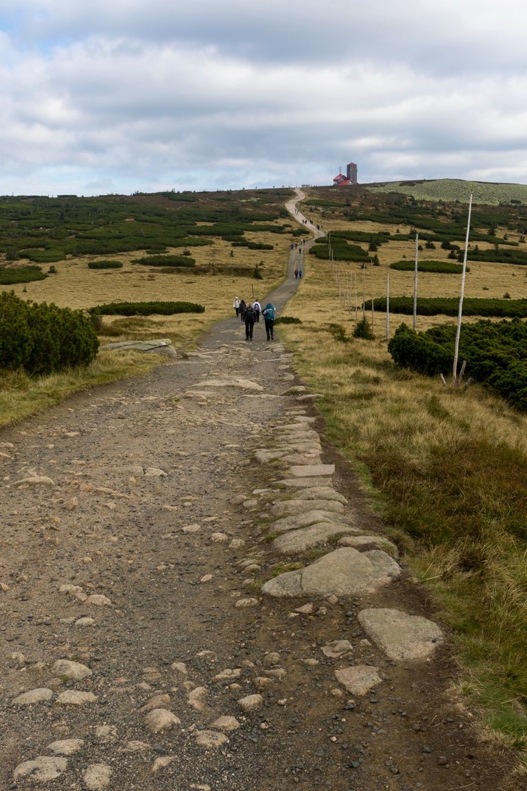
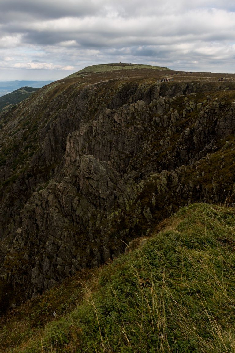
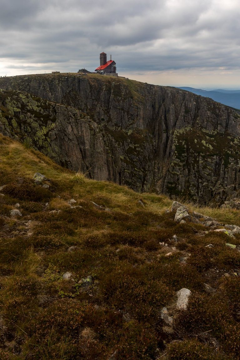
The path continues along the border with stone paths. The path past several mountain huts. My plan was spend the night in one of the shelters, so I disconnected from the ridge path in the Slezské sedlo (1197m).
Cesta dále pokračuje po hranici po kamenných chodnících kolem několika horských chat. Já jsem měl v plánu přenocovat v jednom z přístřešků a tak jsem se odpojil od hřebenovky v Slezském sedle (1197m).
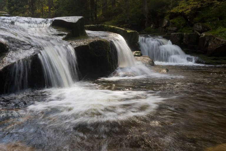
I followed the yellow path all the way to the Bílí Labe valley. Where I took the last photo of the day. The so-called Plotnový vodopád.
Šel jsem po žluté, až do údolí Bílého Labe. Kde jsem udlěl poslední fotku dne. Takzvaný Plotnový vodopád.
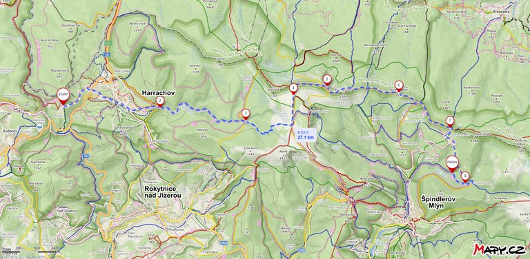
It turned out that the last minute change of plan paid off and I was able to enjoy an autumn day in the highest mountains that can be visited in the Czech Republic. In less than a day, I walked over 27km and climbed 914m and descended 747m.
Ukázalo se že změna plánu na poslední chvíli se vyplatila a mohl jsem si užít podzimní den v nejvyšších horách, které lze v ČR navštívit. Za necelý den jsem ušel přes 27km a vystoupal 914m a klesl o 747m.
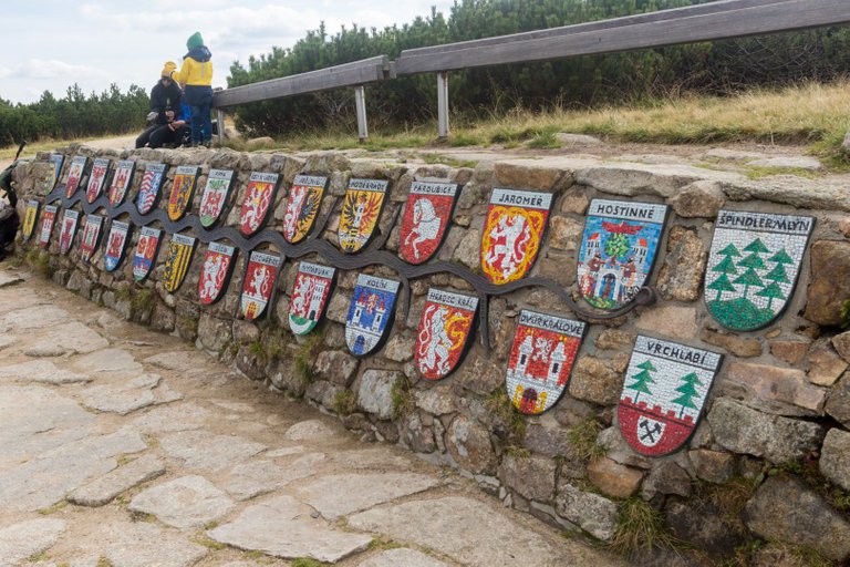
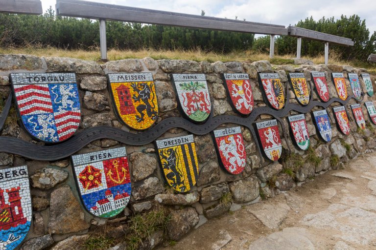
Seems like you had a great journey out there! Though, I gotta ask, what are the small painted shields on the wall? They look really interesting!
These are the signs of all the larger cities where the Elbe flows before it reaches the sea.
Pekný výlet a parádne fotky :) !WINE
The pictures where you captured the flow of that river are amazing, you must be passionate about photography.
Congratulations, your post has been added to Pinmapple! 🎉🥳🍍
Did you know you have your own profile map?
And every post has their own map too!
Want to have your post on the map too?
Bravo
So marvellous to see nature pics without trash on the soil !
I am so happy about that !
If you find trash on the soil, and show us in a dated photo report that you bring it to the bin ... @cleanplanet org reward you with HIVE and PLANET TOKENS
Thanks to make me travel !
@yann0975 from @cleanplanet
I’d love to visit this region and to see the source of the river Elbe. I’m fascinated by rivers and love to explore as many of them as I can. Have a great week.
Wow, thanks for sharing the post and the amazing pictures. I love outdoorsy places like these ones, and I would love to visit both Poland and Czech Republic better (I have only been to Prague for now)... the waterfalls in the images you shared are my favorites 😊
What a landscape!! Looks beautiful:)
Co na to říct. Nic, jen tiše koukat :-)
!LUV
za použití #aroundtheworld