Welcome to the next part of my notes on the long-distance European route number 3. Today we will look at the second day that I spent in the second stage leading through the territory of Poland. The original plan was to split this stage into two, but everything started to get complicated, so I didn't want to leave anything to chance.
Vítejte u dalšího dílů mých zápisků po dálkové Evropské trase číslo 3. Dnes se podíváme na druhý den, který jsem prožil v druhé etapě vedoucí přes území Polska. Původní plán byl tuto etapu rozložit na dvě, ale vše se začalo komplikovat a tak jsem nechtěl nechat nic náhodě.
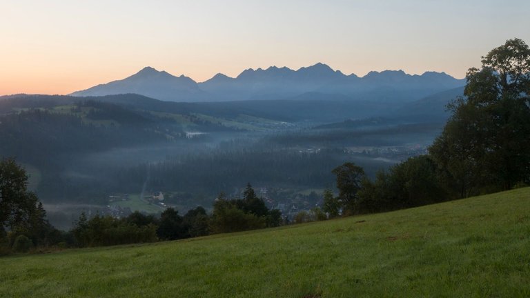
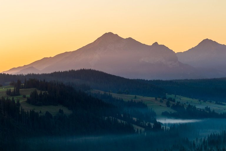
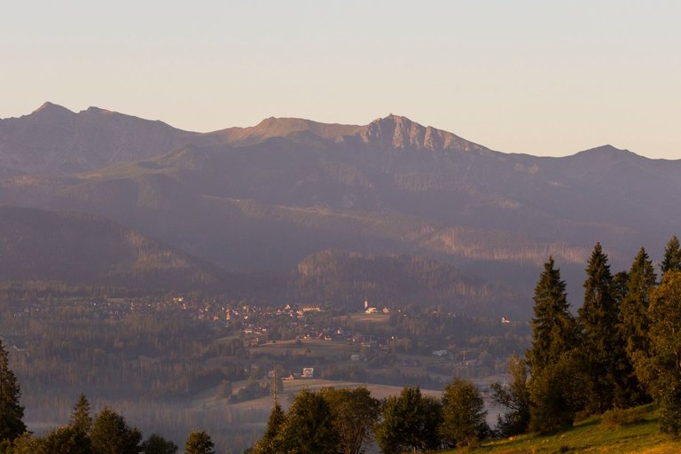
When I woke up in the morning, I found that my phone had turned itself off for some reason and was asking me for a PUK to access. So I was somewhere in Poland without internet and phone connection. The only thing I managed to get working during the morning photo shoot was the map. So at least I had something to help me orient myself.
Když jsem se ráno probudil, zjistil jsem že se můj telefon z nějakého důvodu sám vypnul a požadoval po mě PUK pro přístup. Takže jsem byl kdesi v Polsku bez internetu a telefonního spojení. Jediné co se mi podařilo během ranního focení zprovoznit byla mapa. Takže jsem měl alespoň něco co mi pomohlo v orientaci.
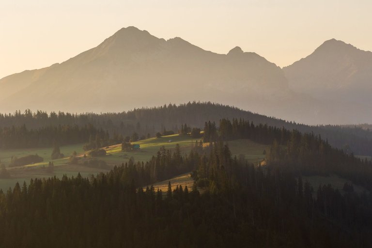
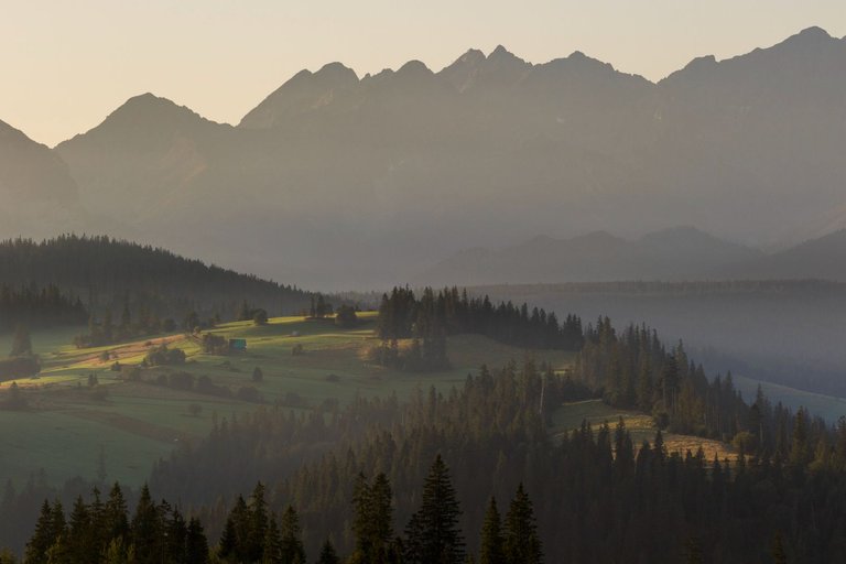
As soon as I came out of the forest. I found that I am again in an area where there are many houses that are rented out as accommodation. The views were impressive especially with the rising sun.
Jakmile jsem vyšel z lesa. Zjistil jsem, že jsem zase v oblasti kde je spousta domů, které jsou pronajímány jako ubytování. Výhledy byly impozantní především s vycházejícím sluncem.
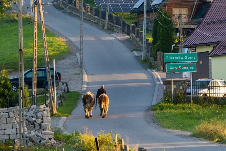
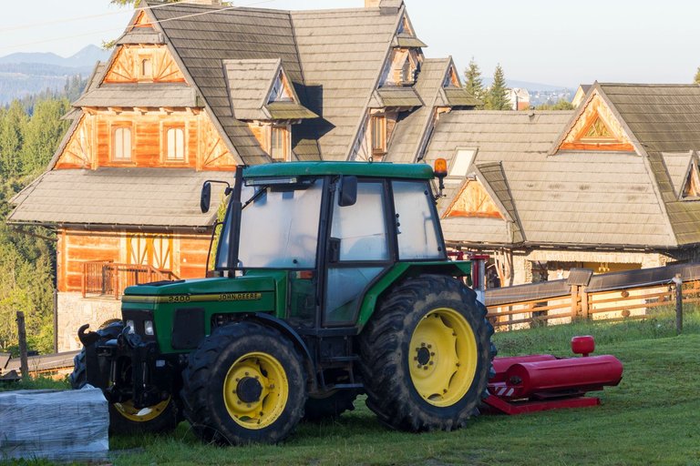
As I wrote last time. The landscape here is mainly used for agriculture, but thanks to heavy construction, a lot of tourists are also starting to come here. But on the other hand, the locals still live their way of life. So, for example, I could see how a gentleman leads cows to pasture through a village that lives mainly from tourism. Or parked tractors in front of the house where some kind of sports team was staying.
Jak jsem psal minule. Krajina zde je využívána převážně zemědělsky, ale díky silné výstavbě sem začíná jezdit také dost turistů. Ale na druhou stranu místní stále žijí svým způsobem života. Takže jsem třeba mohl vidět jak pán vede kravky na pastvu přes vesnici, která žije převážně z turismu. Nebo zaparkované traktory před domem kde byl zrovna ubytován jakýsi sportovní tým.
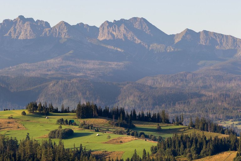
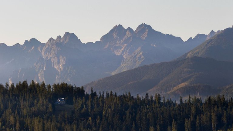
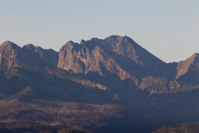
The trail continued through the villages that were on the ridge, so there was no shortage of views. The only pity is that there was asphalt everywhere, which is not exactly good for the feet. On the other hand, I already had a relatively light backpack as I had already used up most of my supplies.
Stezka pokračovala skrze vesnice, které byli na hřebeni a tak o výhledy nebyla nouze. Jediná škoda, že zde byl všude asfalt což není zrovna dobré pro nohy. Na druhou stranu jsem měl již poměrně lehký batoh, protože jsem většinu zásob již spotřeboval.
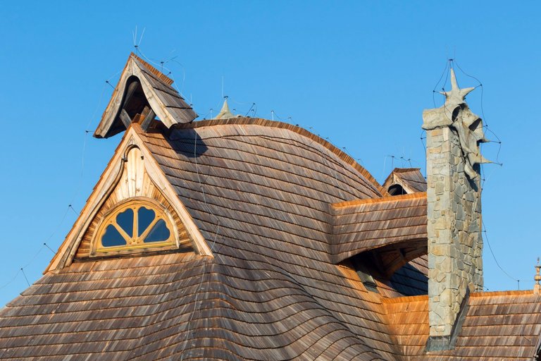
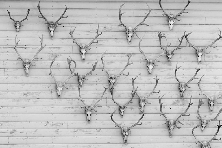
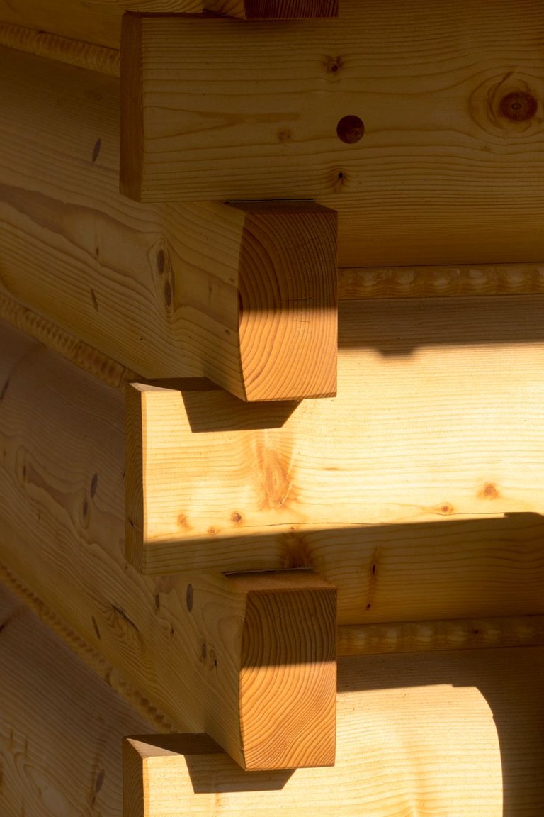
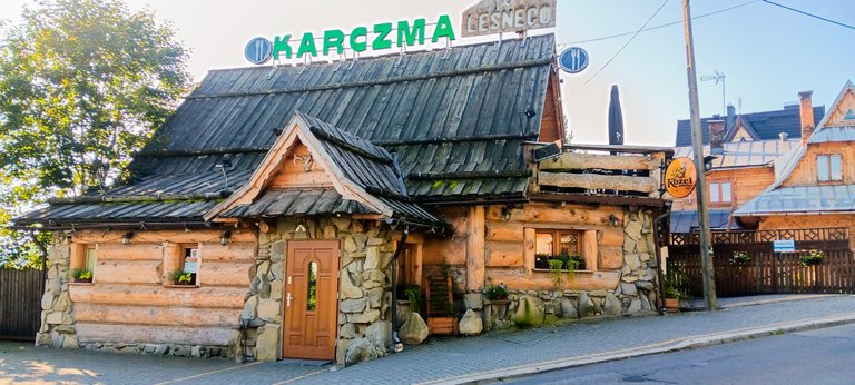
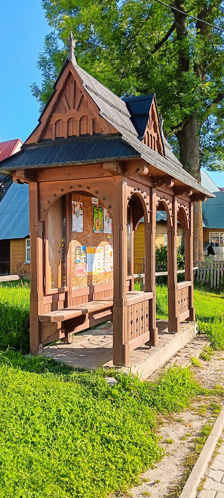
Finally, I reached the center of this area, which was the small town of Bukowina Tatrańská. Almost all the houses here were built from local materials. Mainly wood and river stone. Some houses had strange shapes, some had strange decorations. But there was still something to look at. Sometimes I took pictures of details for inspiration of what can be built from wood and stone. For example, a bus stop that catches the eye.
Nakonec jsem došel do centra této oblasti což bylo městečko Bukowina Tatrańská. Skoro všechny domy zde byly postaveny z lokálních materiálů. Především dřeva a říčního kamene. Některé domy, měli zvláštní tvary, některé zase divnou výzdobu. Ale pořád bylo na co koukat. Občas jsem si fotil detaily pro inspiraci co je možné ze dřeva a kamene postavit. Třeba autobusovou zastávku, která zaujme na pohled.
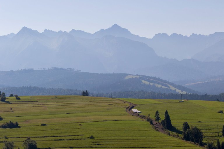
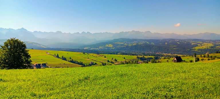
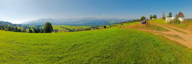
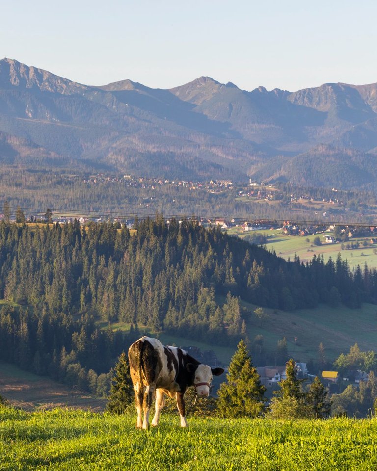
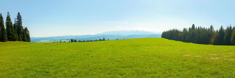
After crossing the Bialka River, I started to climb the hills again. Fortunately, not so high. The views were still great. There was also construction going on here, but more for people who want to live here with a perfect view of the High Tatras. So, above all, small houses of up to 20 square meters were built. The weather was amazing so I sat in the freshly cut meadow, took off my shoes and enjoyed the view.
Po překonání řeky Bialka jsem začal opět stoupat do kopců. Naštěstí ne již tak vysokých. Výhledy byly stále skvělé. I zde probíhala výstavba, ale spíše pro lidi, kteří zde chtějí žít s perfektním výhledem na Vysoké Tatry. Takže především se stavěli malé domečky do 20 metrů čtverečních. Počasí bylo úžasné, takže jsem se posadil do čerstvě posekané louky, sundal boty a užíval si výhled.
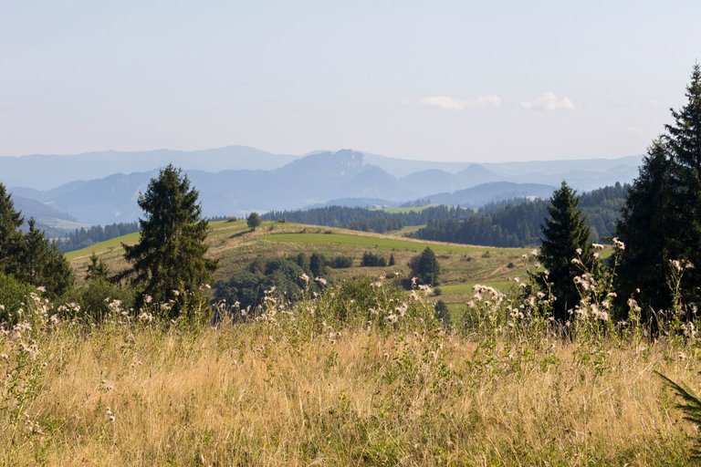
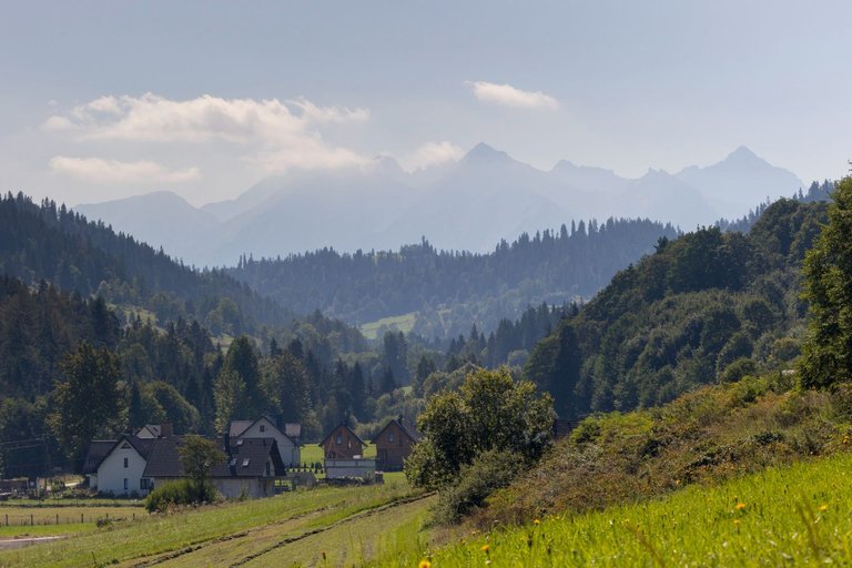
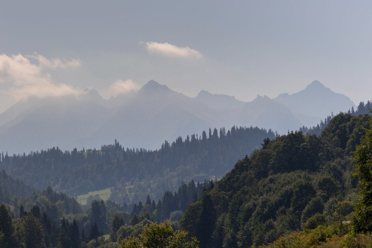
After gaining strength after climbing the ridge, I went further along the path through the forest towards another valley where the village of Lapsie Wyzne was, from where other views opened up. This time in the Pieniny Mountains. And looking back at the High Tatras, which I just completely walked around.
Potom co jsem načerpal síly po výstupu na hřeben, jsem se vydal dále po stezce skrze les směrem k dalšímu údolí kde byla vesnice Lapsie Wyzne odkud se mi otevřely další výhledy. Tentokráte na pohoří Pieniny. A při pohledu zpět i na Vysoké Tatry, které jsem zrovna celé obešel.
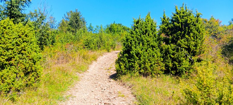
From the village I again had to climb another ridge, but this time through a completely different landscape. Which was more like a steppe. It was terribly hot here and heat-loving plants grew here.
Z vesnice jsem opět musel vystoupat na další hřeben, ale tentokráte úplně jinou krajinou. Která spíše připomínala step. Bylo zde hrozné horko a rostly zde teplomilné rostliny.
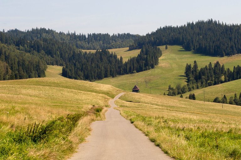
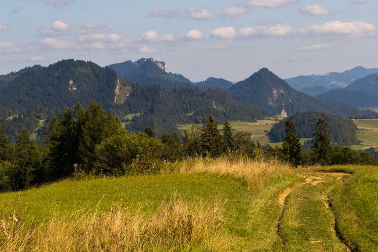
I had to climb the last ridge on the way. Which in the end turned out to be the most difficult, because in 300 meters I had to climb 130 meters in height. I was quite in a hurry, because I wanted to reach Slovakia to Stará Spišská Ves by 5:00 p.m., because I assumed that the last bus for the train connection to Poprad might be at that time.
Cestou mi zbývalo pokořit poslední hřeben. Což se nakonec ukázalo jako nejtěžší, protože na 300 metrech jsem musel vystoupat 130 výškových metrů. Docela jsem pospíchal, protože jsem chtěl dojít na Slovensko do Staré Spišské Vsi do 17:00 hodiny, protože jsem předpokládal, že tou dobou by mohl je t poslední autobus na vlakové spojení do Popradu.
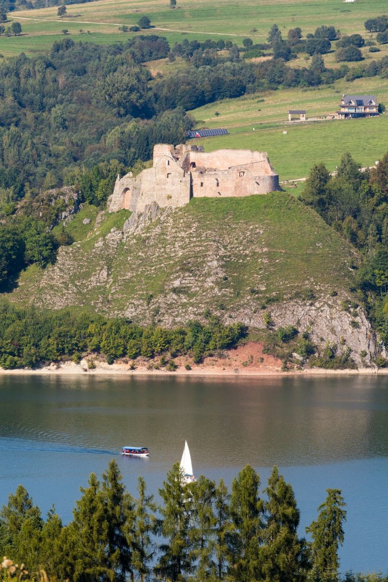
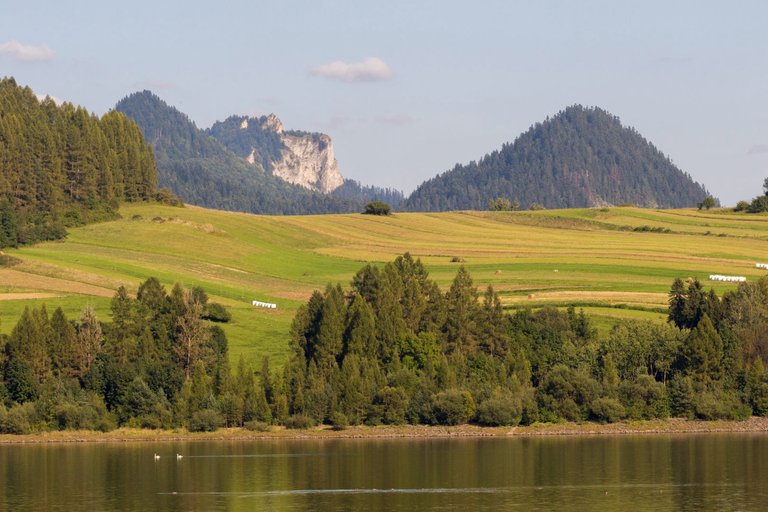
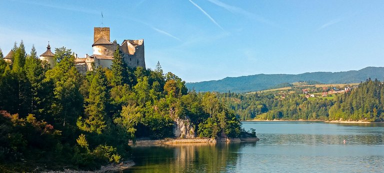
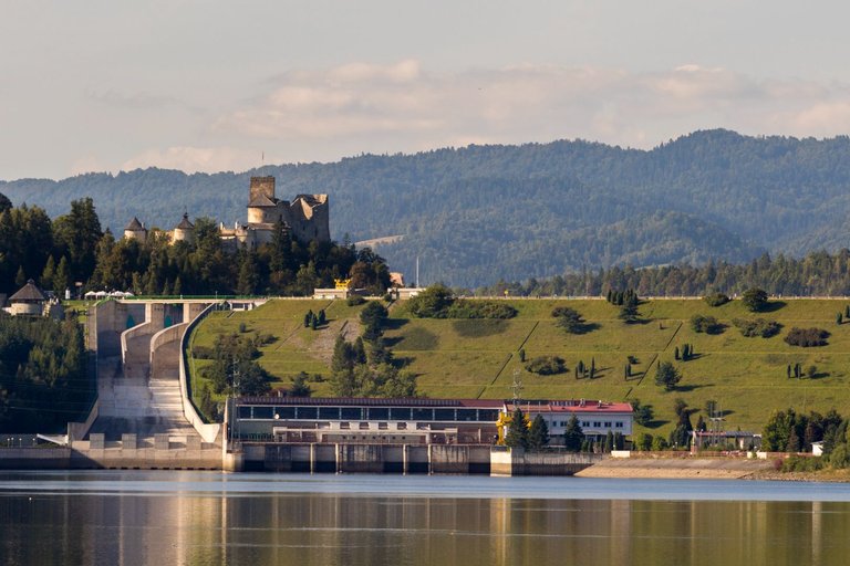
But along the way there were more and more interesting places, such as castles or dams. But I didn't have much time to spare, so I had to go through these places briskly with minimal time to take pictures.
Jenže cestou bylo stále více zajímavých míst, jako například hrady, nebo přehrady. Ale já neměl moc času nazbyt a tak jsem musel tato místa projít svižně s minimálním časem na focení.
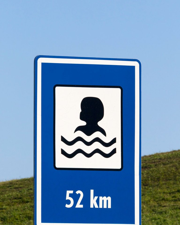
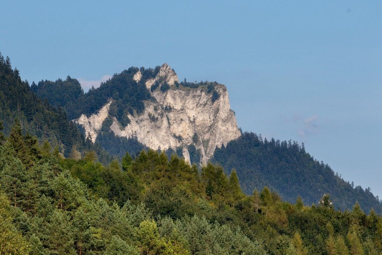
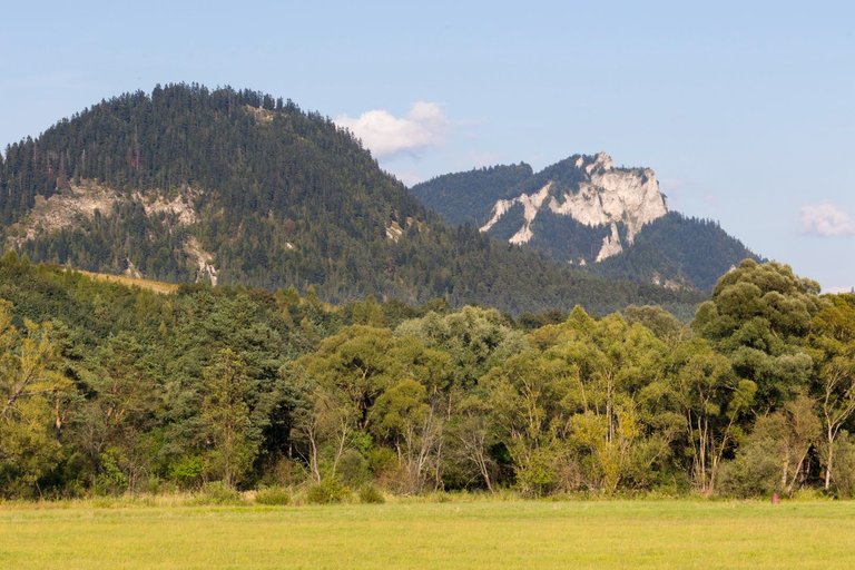
I left the trail at the leveling dam and headed along the Dunajec to the town of Spišská Stará Ves. On the way I met strange traffic signs and also the last views of the peak of Trzy Korona (982m). When I reached the bus station, I realized that all the effort was still worth it. Because the last bus that day left in 30 minutes with the final destination Poprad train station. So exactly where I needed.
Stezku jsem opustil na vyrovnávací přehradě a zamířil podél Dunajce do města Spišská Stará Ves. Cestou jsem potkal divné dopravní značky a i poslední výhledy na vrchol Trzy Korony (982m). Když jsem došel na autobusové nádraží, zjistil jsem že všechna ta námaha stále za to. Protože poslední autobus ten den jel za 30 minut s cílovou stanicí Poprad. Takže přesně kam jsem potřeboval.
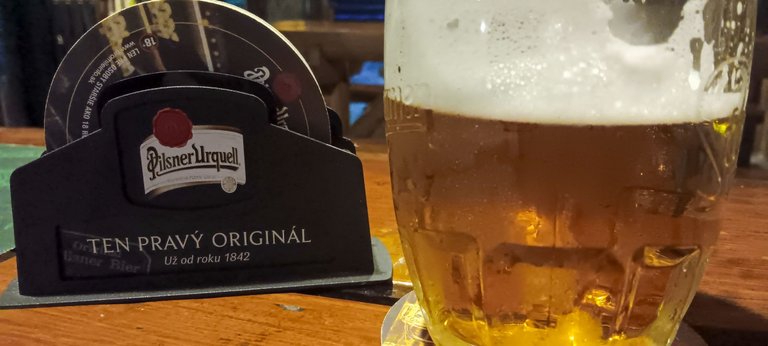
I arrived in Poprad after seven o'clock and it seemed that luck had not left me. However, there was last connection to Prague after midnight. So I bought a ticket and prepared a plan to survive 5 hours in an unknown city. I was getting hungry, so the plan was adjusted to a visit the pub. I found one near the station. The beer was original Pilsen, so the choice was sealed. I had pizza for dinner and 8 beers. Time passed faster than I expected.
Do Popradu jsem dorazil po sedmé hodině a vypadalo to, že mě štěstí neopustilo.Jelikož jel ještě jeden spoj na Prahu po půlnoci. Koupil jsem tedy lístek a připravoval plán jak přežít 5 hodin v neznámém městě. Začal se dostavovat hlad a tak se plán uzpůsobil návštěvou hospody. Našel jsem jednu nedaleko nádraží. Pivo bylo originální Plzeňské, takže volba byla zpečetěna. Povečeřel jsem pizzu a k tomu 8 piv. Čas utekl svižněji než jsem předpokládal.
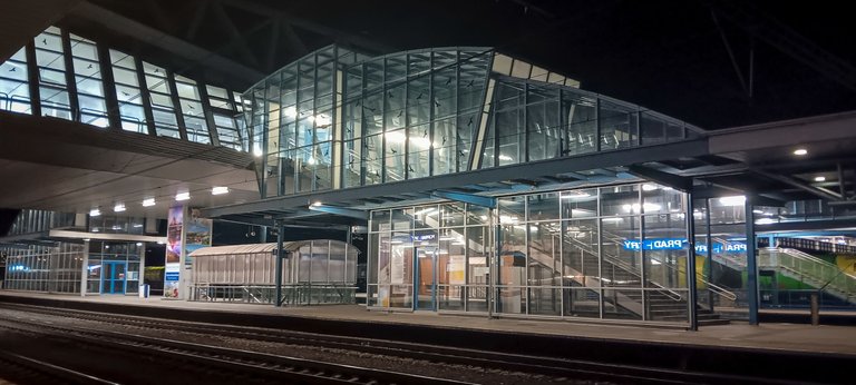
Fortunately, it was a short distance to the station. So I caught the train without any problems and managed to take a few pictures from the station. But only one was usable. Could more beers be to blame?
Na nádraží to naštěstí bylo kousek. Takže jsem vlak stihl bez problémů a stihl udělat i několik snímků z nádraží. Jen jeden byl ale použitelný. Že by za to mohlo větší množství piv?
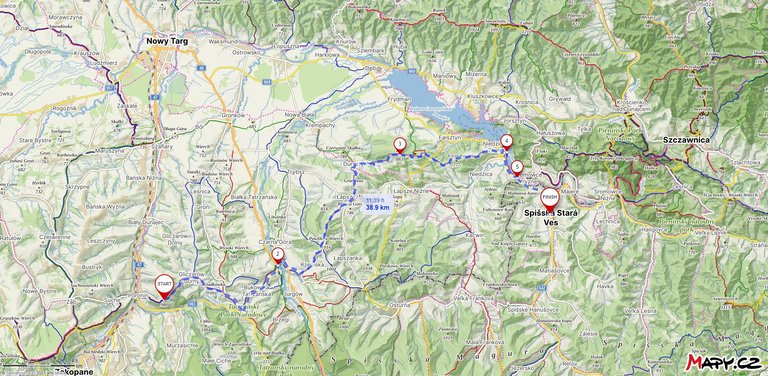
| Total distance traveled | Conquered peaks | Total altitude |
|---|---|---|
| 1371.8 Km | 235 | 80002 m |
And that's all from E3 this year. To the point where I left the route, I walked 1371.8 kilometers, visited 235 peaks and crossed an incredible 80002 meters of elevation gain. All this within 1.2 years. Time will tell where I will continue next year. Whether I go west or further east. But I will definitely continue, because E3 has become an addiction to the unknown of what will follow next for an interesting landscape.
A to je pro letošní rok vše z E3. Do bodu kdy jsem trasu opustil jsem ušel 1371.8 kilometrů, navštívil 235 vrcholů a překonal neuvěřitelnou hranici 80002 metrů převýšení. To vše v rozmezí 1.2 roku. Kam budu příští rok pokračovat ukáže čas. Zda se vydám na západ, nebo na dále na východ . Ale rozhodně budu pokračovat, protože se z E3 stala závislost na neznámu co bude následovat dále za zajímavou krajinu.
Congratulations, your post has been added to Pinmapple! 🎉🥳🍍
Did you know you have your own profile map?
And every post has their own map too!
Want to have your post on the map too?
Hiya, @ybanezkim26 here, just swinging by to let you know that this post made it into our Top 3 in Travel Digest #2078.
Your post has been manually curated by the @pinmapple team. If you like what we're doing, please drop by to check out all the rest of today's great posts and consider supporting other authors like yourself and us so we can keep the project going!
Become part of our travel community:
beautiful landscape!
I am absolutely in love with Spiš - even though I got to know only the tiny part which is tucked between Białka and Dunajec river and the PL/SK border. I definitely need to plan to venture the its core in SK