I'm here again with another part of my notes from my travels along the long-distance European route number 3. In today's part, we are look for the last part of the stage in the territory of the Czech Republic, which will take us to the Eastern part of the Beskyd Mountains.
Opět tu jsem s dalším dílem mých zápisků z cest po dálkové Evropské trase číslo 3. V dnešním díle nás čeká poslední část etapy na území České republiky, která nás zavede do Východní části Beskyd.
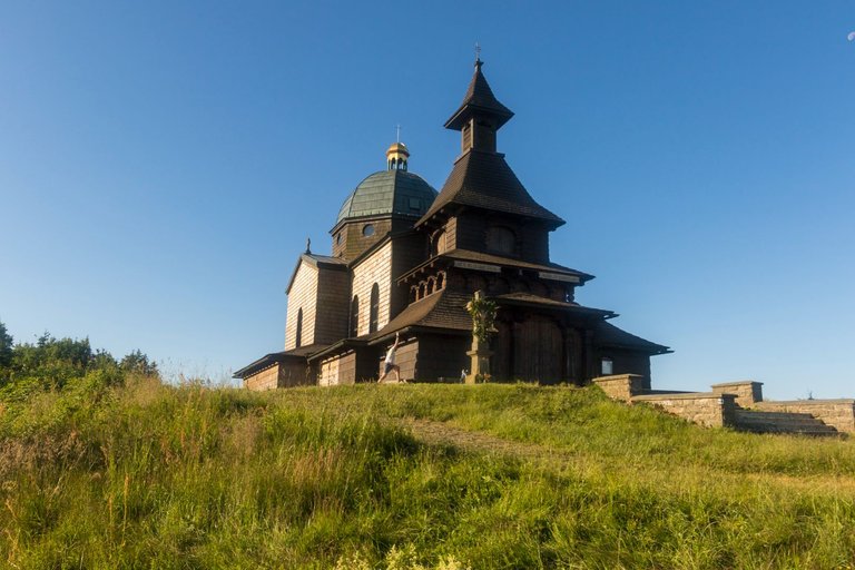
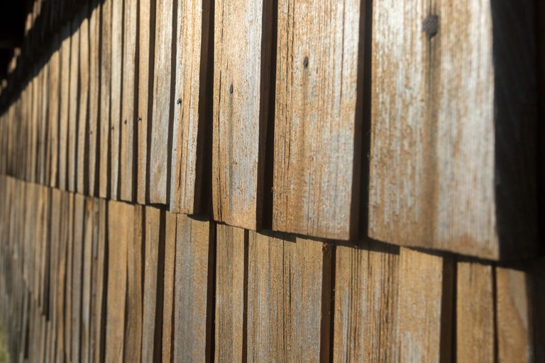
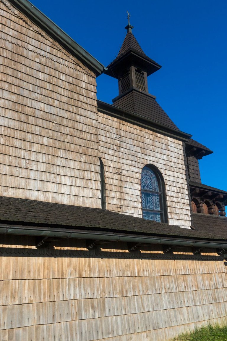
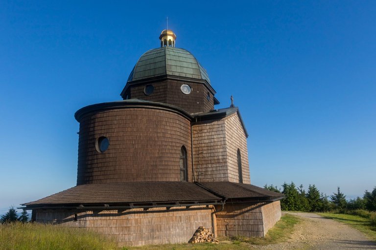
By the last day of my trip, I woke up to the sound of the alarm clock, which I quickly ended so as not to wake the young ladies who were sleeping nearby. I quietly packed and set off to the nearby peak of Radhošť (1129 m), where I wanted to have breakfast in the sun. But before that I took some photos of the wooden church on top of the hill. To my surprise, I was not alone here, because I was accompanied by a man wearing a sports jersey that said he was on his way around the Czech Republic.
Do posledního dne na mé cestě jsem se vzbudil se zazvoněním budíku, který jsem rychle ukončil, abych nevzbudil slečna, které spaly nedaleko. Potichu jsem se zabalil a vyrazil na blízký vrchol Radhošť (1129 m), kde jsem se chtěl na slunci nasnídat. Předtím jsem ale udělal několik fotek dřevěného kostela na vrcholu kopce. K mému překvapení jsem zde nebyl sám, protože mi dělal společnost muž co měl sportovní dres na kterém se psalo, že je na cestě kolem České republiky.
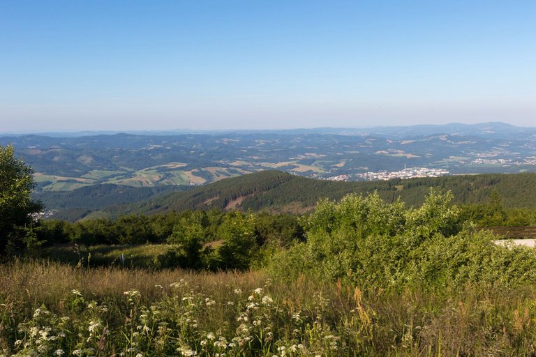
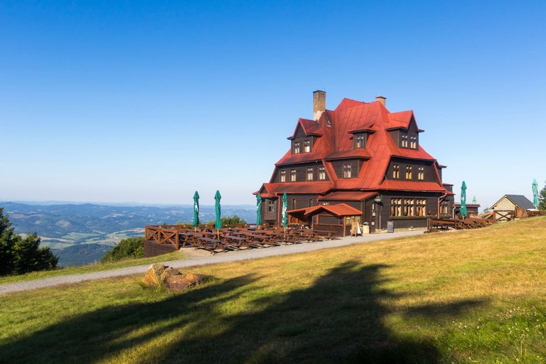
The views from the top were perfect and I was able to look around in the morning sun on the way to the Radegast Hotel. Which was completely deserted at the time thanks to the early hour of the morning.
Výhledy z vrcholu byly perfektní a tak jsem se mohl v ranním slunci koukat do okolí při cestě k hotelu Radegast. Který byl tou dobou díky brzké ranní hodině úplně opuštěný.
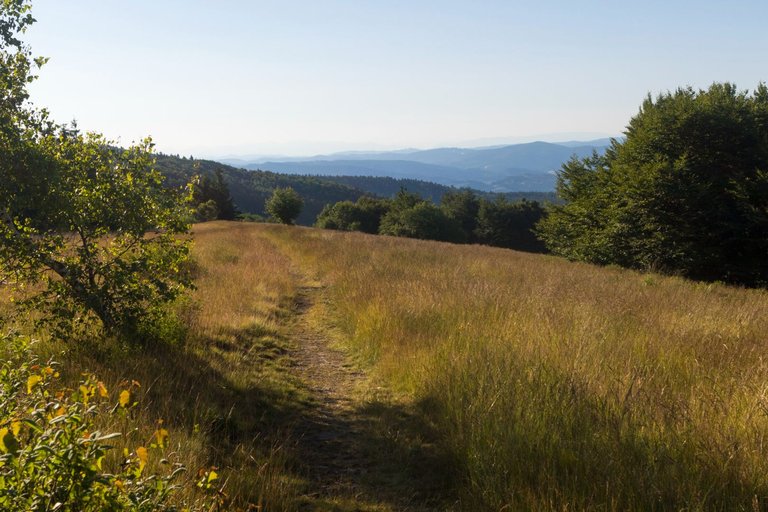
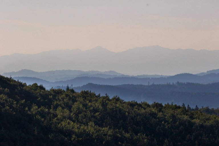
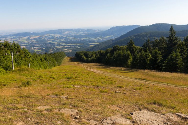
In several places, you could see into neighboring Slovakia, where the Carpathian Mountains continue, and as you can see, the mountains here are even higher.
Na několika místech bylo vidět i do sousedního Slovenska kam Karpatské pohoří pokračuje a jak je vidět hory jsou zde i vyšší.
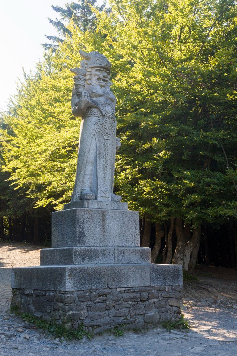
At the top of Radegast (1106 m) there is a statue of one of the Slavic gods, today this name is mainly associated with the local beer. And I must say in this time, it is very popular throughout the country and, surprisingly, abroad as well.
Na vrcholu Radegast (1106 m) je socha jednoho ze Slovanských bohů, dnes je toto jméno především spojováno s lokálním pivem. A musím říci, že se v poslední době těší velké oblibě po celé zemi a překvapivě i v zahraničí.
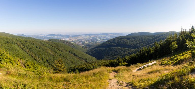
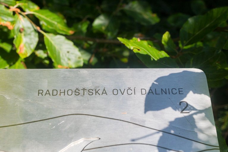
The educational trail Radhošťská ovčí dálnice (Radhošť sheep highway) runs along the entire ridge, which describes the former main livelihood of the locals. Which was sheep grazing on the local mountain meadows. I don't know if the author intended it, but I thought the name was quite apt when I saw the first tourists coming towards me. It felt like I was walking against a herd of sheep who were only coming to take a photo with the statue and at the same time bleating about how difficult the hill was.
Po celém hřebeni vede naučná stezka Radhošťská ovčí dálnice, která popisuje dřívější hlavní obživu místních. Což byla pastva ovcí na zdejších horských lukách. Nevím zda to autor zamýšlel, ale mě přišel název vcelku trefný když jsem viděl první turisty přicházet proti mě. Připadalo mi jako bych šel proti stádu ovcí co si jdou pouze pro fotografii se sochou a přitom bečí jak je kopec náročný.
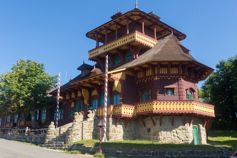
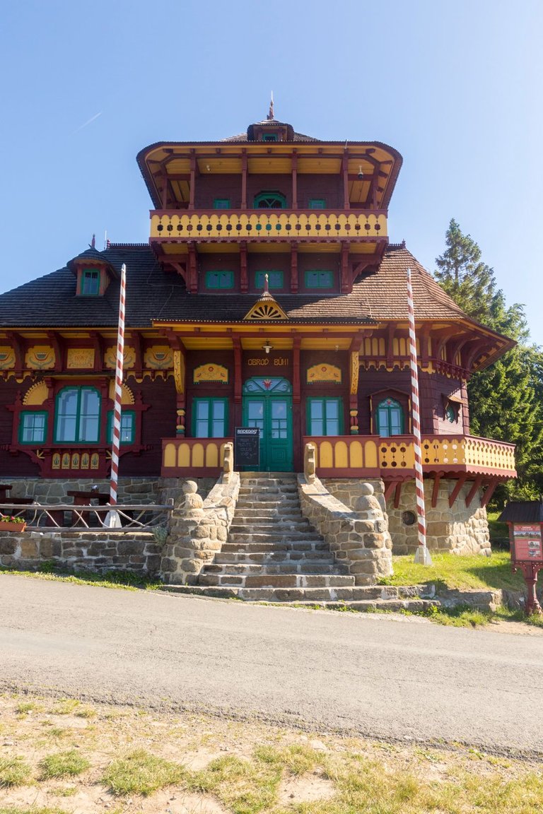
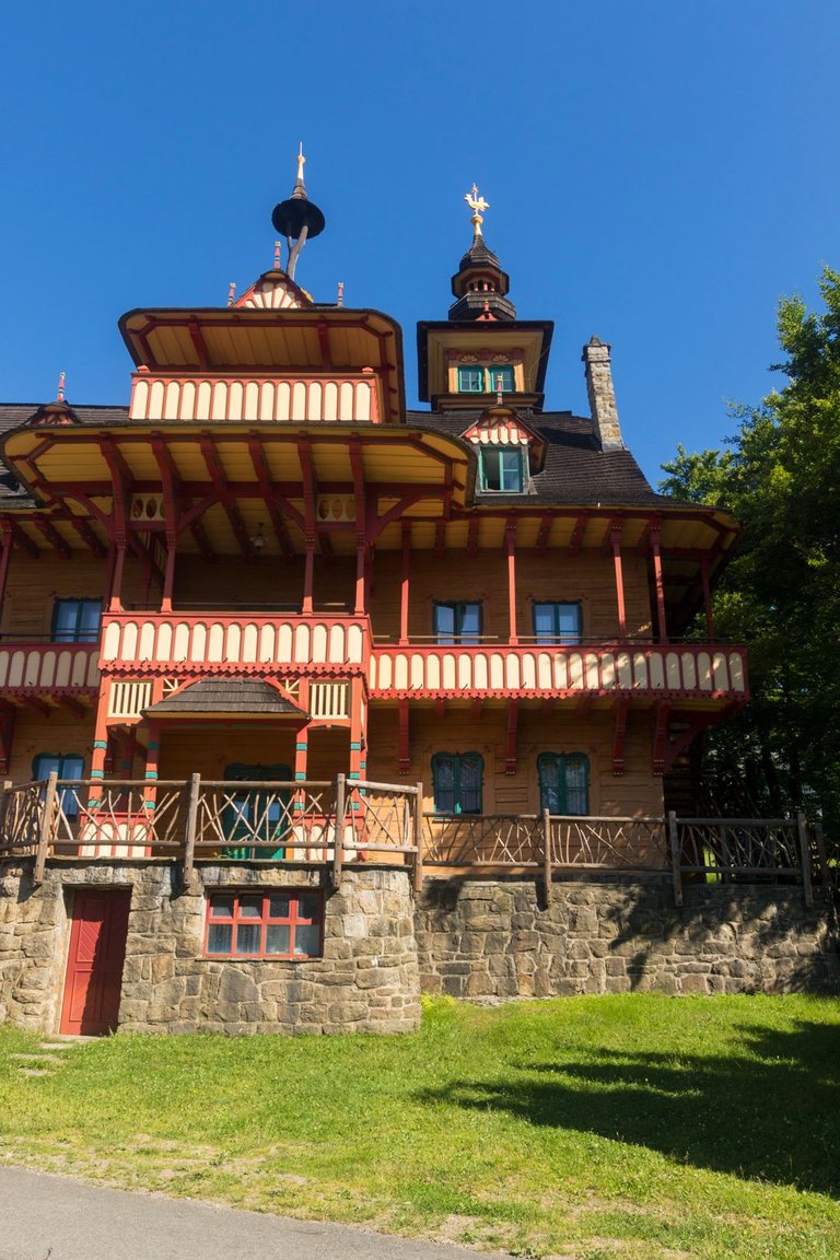
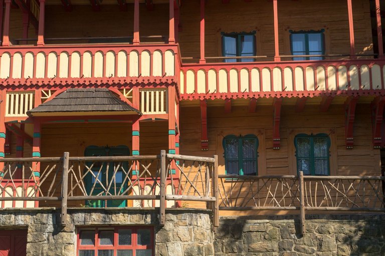
In order to continue further, I had to pass through the tiny village of Pustevny, where the cable car leads from the valley. So there was an incredible amount of people here despite the early hours of the morning. In addition, they set up stalls with everything possible and impossible, so it looked like a market. In my opinion, this does not belong in the mountains. I support stalls, only with local products that will support the local economy and not some Chinese inflatable balloons that will eventually end up in nature. That's why I had one hot dog with lemonade at a local stand. He took a few photos of the local historical buildings and continued further into the forest.
Abych mohl pokračovat dále, musel jsem projít skrze malinkatou obec Pustevny kam vede lanovka z údolí. Takže zde bylo neskutečné množství lidí i přes brzkou ranní hodinu. Navíc zde stavěli stánky se vším možným i nemožným, takže to tam vypadalo jak na pouti. Toto dle mého do hor nepatří. Když už stánky tak pouze s lokálními produkty, které podpoří lokální ekonomiku a ne nafukovací Čínské balónky, které nakonec skončí v přírodě. Proto jsem si dal jeden párek s limonádou v místním stánku. Udělal pár fotek místních historických budov a pokračoval dále do lesa.
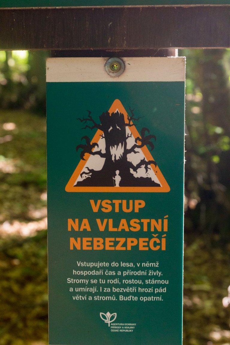
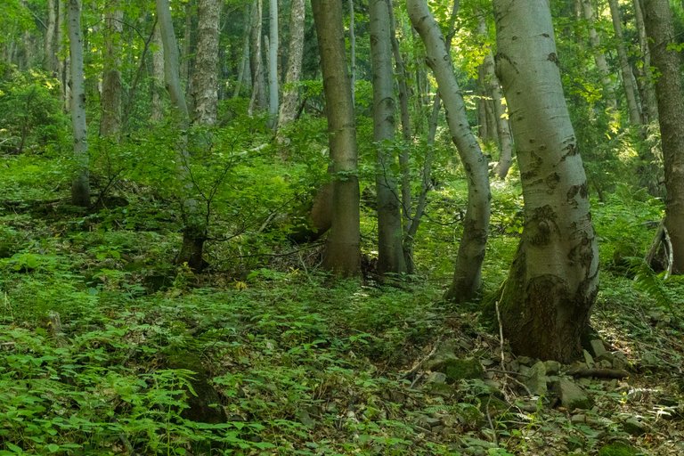
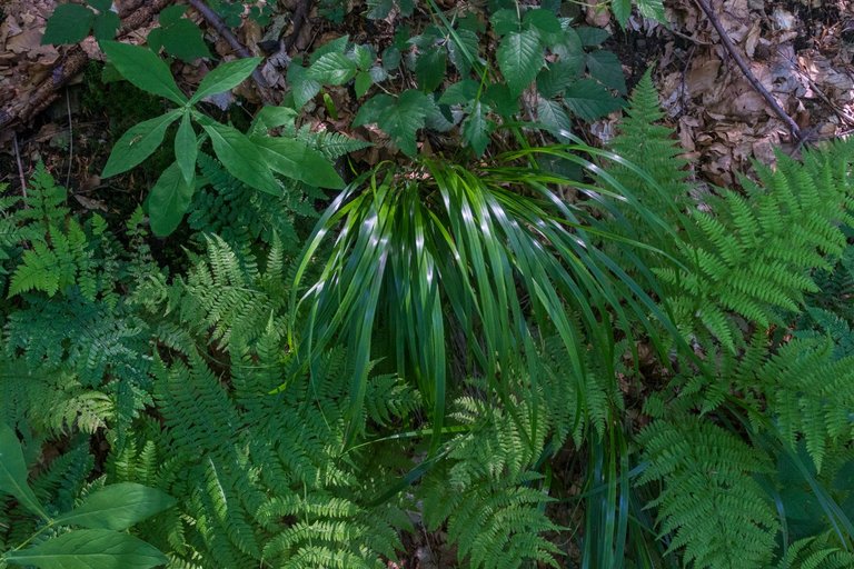
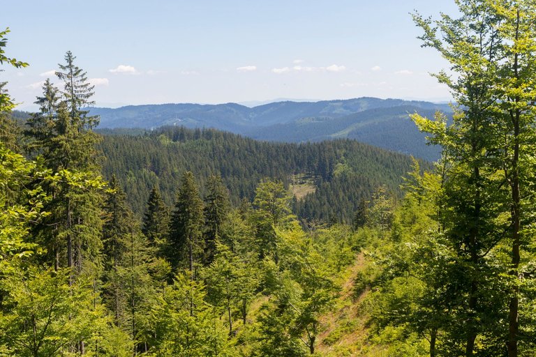
Just beyond the village, the forest became really wild, even to the point where it was marked with a scary sign. This is how I always imagined the Carpathian Forest to look like. Dead trees, huge trees, the entire ground floor overgrown with many kinds of herbs, grasses and bushes. I didn't meet a single person the whole time, because everyone was headed for the sheep highway.
Hned za vesnicí začal les opravdu divoký, dokonce tak, že byl označen děsivou cedulkou. Takhle nějak jsem si vždy představoval, že vypadá Karpatský les. Mrtvé stromy, obrovské stromy, celé zemní patro porostlé mnoha druhy bylin, trav a keřů. Za celou dobu jsem nepotkal jediného člověka, protože všichni směřovaly na ovčí dálnici.
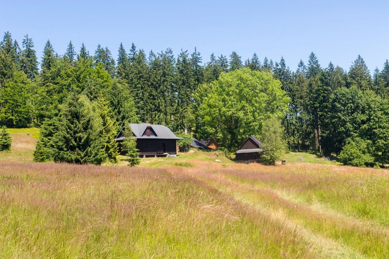
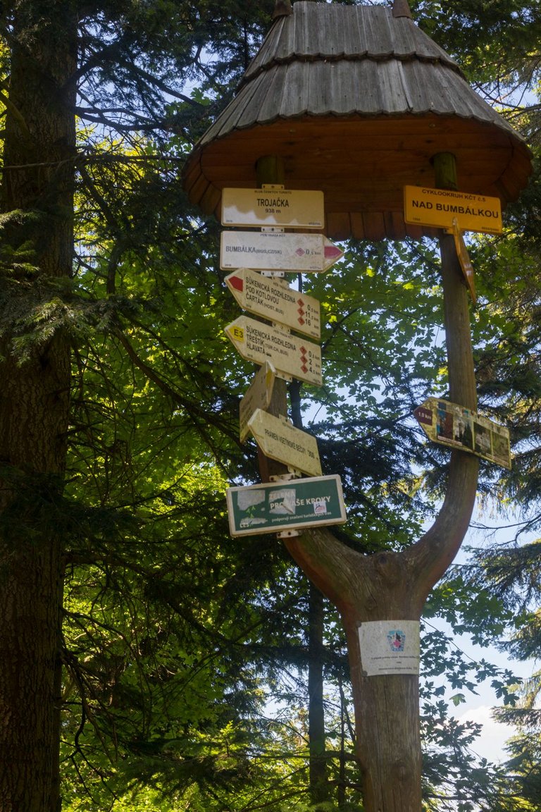
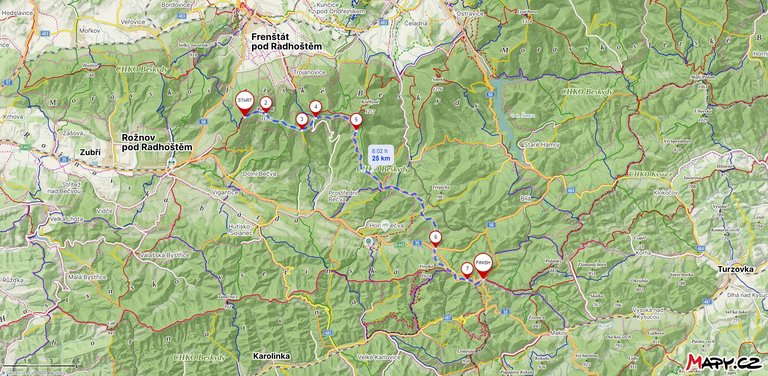
After that, I was already moving on bike paths and in the industrial forest, so I didn't have much chance to take photos of anything interesting. Moreover, I was quite in a hurry, because I wanted to catch the bus from my final destination of the border crossing with Slovakia, Bumbálka. Which eventually turned into a two-hour private bus ride to the city of Přerov.
Poté jsem se již pohyboval po cyklostezkách a v průmyslovém lese, takže jsem neměl moc šancí fotit něco zajímavého. Navíc jsem docela pospíchal, protože jsem chtěl stihnout autobus z mé cílové destinace hraničního přechodu se Slovenskem Bumbálka. Což se nakonec proměnilo v dvouhodinovou privátní projížďku autobusem do města Přerov.
| Total distance traveled | Conquered peaks | Total altitude |
|---|---|---|
| 1104.3 Km | 138 | 60231 m |
Since I finished the next stage, it needs to be recapitulated a bit. The fourth stage measured 292 kilometers and I covered it in 8 days, visiting two mountain ranges and several highlands. I crossed the two largest Moravian rivers and also climbed the highest mountain. In total, I stood on 47 peaks and at the same time overcame an elevation of 15,231 meters. And that's how I developed an addiction to the Carpathians and that's why I decided to visit the E3 trail one more time this year. But about that sometime next time.
Jelikož jsem ukončil další etapu je třeba ji trochu zrekapitulovat. Čtvrtá etapa měřila 292 kilometrů a já jsem ji pokořil za 8 dní, přitom jsem navštívil dvě pohoří a několik vrchovin. Překonal jsem dvě největší Moravské řeky a také vystoupal na nejvyšší horu. Celkově jsem stanul na 47 vrcholech a přitom překonal převýšení 15231 metrů. A tak nějak jsem si vypěstoval závislost na Karpatech a proto jsem se rozhodl navštívit stezku E3 ještě jednou v letošních roce. Ale o tom někdy příště.
Wow! Beautiful Pictures of the landscape. I'll be in Praha in November. Really looking foward to my first Trip to Czech Republic.
Thank you, lately I see that a lot of people from Hive are planning a trip to the Czech Republic and to Prague in particular. I believe that this will not be the last trip, because there are many places to see.
Congratulations, your post has been added to Pinmapple! 🎉🥳🍍
Did you know you have your own profile map?
And every post has their own map too!
Want to have your post on the map too?
beautiful 😍
Travel Digest #2000 🎉🎉.
Become part of our travel community:
- Join our Discord
Hiya, @livinguktaiwan here, just swinging by to let you know that this post made it into our Honorable Mentions in Your post has been manually curated by the @pinmapple team. If you like what we're doing, please drop by to check out all the rest of today's great posts and consider supporting other authors like yourself and us so we can keep the project going!Congratulations @softa! You have completed the following achievement on the Hive blockchain And have been rewarded with New badge(s)
Your next payout target is 9000 HP.
The unit is Hive Power equivalent because post and comment rewards can be split into HP and HBD
You can view your badges on your board and compare yourself to others in the Ranking
If you no longer want to receive notifications, reply to this comment with the word
STOPCheck out our last posts:
Wow - what stunning scenery there is there, and I love the wooden buildings !
!LOLZ
!PIZZA
!LUV
lolztoken.com
It was a weapon of math disruption.
Credit: reddit
$LOLZ on behalf of hoosie
(3/10)
Farm LOLZ tokens when you Delegate Hive or Hive Tokens.
Click to delegate: 10 - 20 - 50 - 100 HP@softa, I sent you an