Welcome to the ninth installment of my travels around the island of Tenerife last Christmas. This time we will look at the second highest mountain of the island, Pico Viejo.
Vítejte u devátého pokračování mých cest po ostrově Tenerife o minulých Vánocích. Tentokráte se podíváme na druhou nejvyšší horu ostrova Pico Viejo.
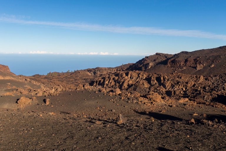
In the morning we woke up to a perfectly clear day, so it was quite cold, but not as cold as the previous night. Since we were quite high and there was no obstacle in the way of the sun. So we got almost instant sunshine after the sun crossed the horizon. The only thing that made me a little nervous was the meterological front in the west. This meant that we had a maximum of two days of good weather if the first attempt to hit the island was rejected by Mount Teide.
Ráno jsme se vzbudili do naprosto jasného dne, takže bylo poměrně dost chladno, ale ne tolik jako předchozí noci. Vzhledem k tomu, že jsme byli poměrně vysoko a slunci v cestě nestála žádná překážka. Tak jsme se dočkali téměř okamžitého slunečního svitu po tom co slunce překonalo horizont. Jediné co mě trochu znervózňovalo, byla meterologická fronta na západě. To znamenalo, že máme maximálně dva dny dobrého počasí pokud první pokus o náraz do ostrova odrazí hora Teide.
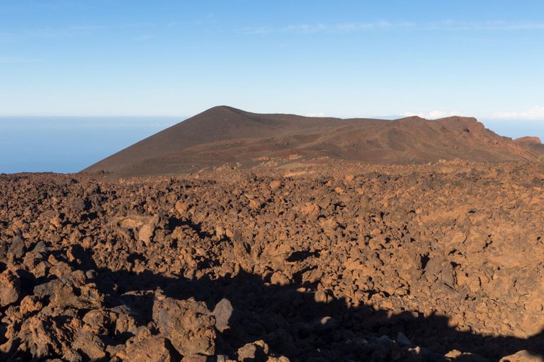
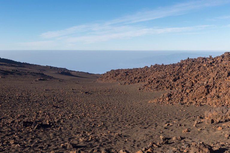
We started the trip relatively early, because we did not want to experience the highest temperature of the day during the ascent. We therefore set off through the lunar landscape up to the top.
Na cestu jsme vyrazili poměrně časně, protože jsme nechtěli největší denní teplotu zažít při výstupu. Vydali jsme se proto měsíční krajinou vzhůru k vrcholu.
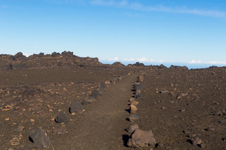
The paths in this terrain are very well marked and perfectly bordered by stones. So it's almost impossible to get lost unless you're trying to invent some kind of adventure.
Cestičky jsou v tomto terénu velmi dobře označeny a perfektně ohraničeny kameny. Takže se ztratit není skoro možné pokud se nesnažíte vymýšlet nějaké dobrodružství.
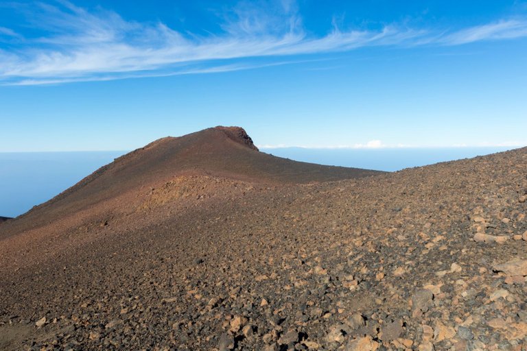
Previous volcanic eruptions were visible all around the road, and thanks to them, the area was quite diverse, as each eruption threw up a different type of material.
Všude kolem cesty byly znát předchozí sopečné erupce a díky nim bylo okolí dosti rozmanité, protože při erupcích byl pokaždé vyvržen jiný druh materiálu.
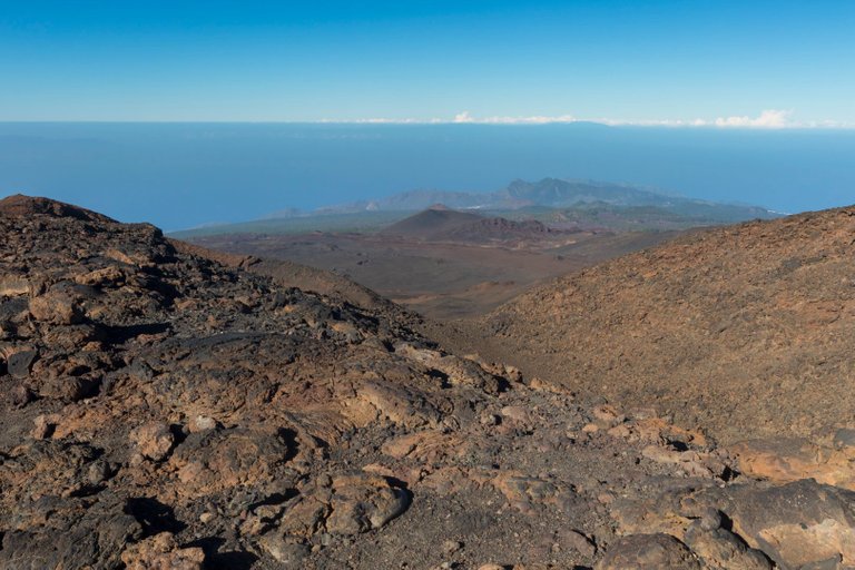
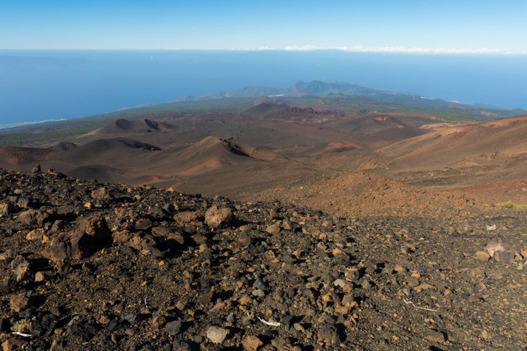
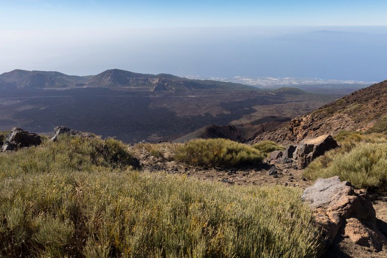
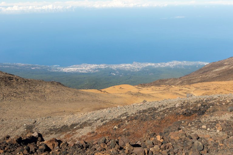
During the ascent, we also reached a place from where the entire southern side of the island could be seen.
Během výstupu jsme se dostali i do místa odkud byla vidět celá jižní strana ostrova.
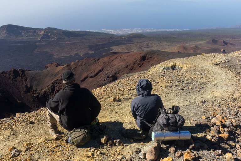
For a snack, we settled on the edge of the crater from the last eruption of Pico Viejo. The view also offered a view of the city on the coast.
Na svačinu jsme se usadili na okraji kráteru z poslední erupce Pico Viejo. Výhled nabízel i pohled na město na pobřeží.
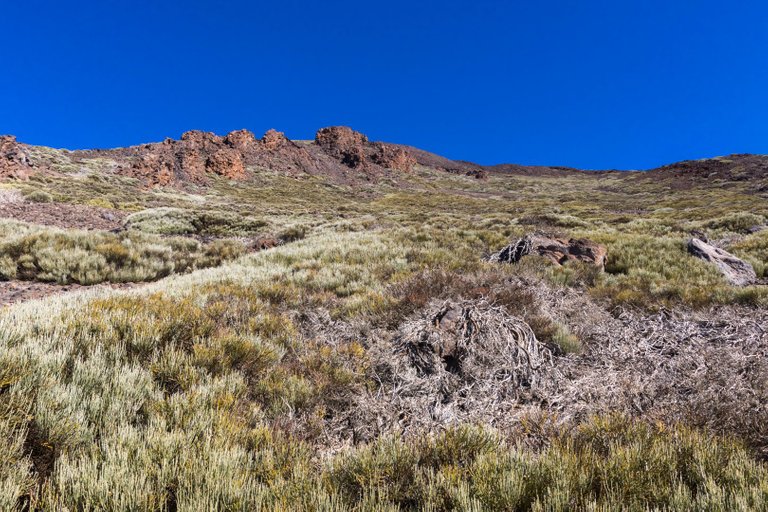
The slopes above our resting place began to be covered with greenery again, offering a small shade where we could hide from the increasingly sharp sun.
Nad místem našeho odpočinku začala opět svahy obsazovat zeleň, která místy nabízela malý stín, kde se dalo schovat před čím dál ostřejším slunce.
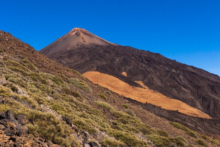
Before the final ascent to the top, we had a view of Pico del Teide in all its majesty, after all, it is 500 meters higher than the mountain we were aiming for.
Před finálním výstupem na vrchol se nám otevřel pohled na Pico del Teide ve vší své majestátnosti, přeci jen je o 500 vyšší než hora na kterou jsme mířili.
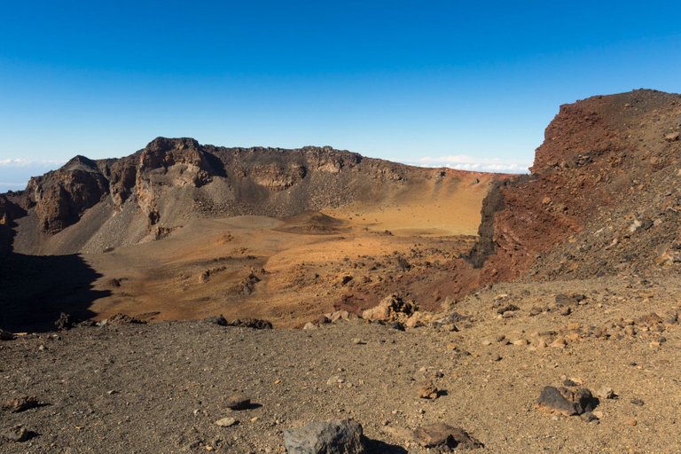
We also got the chance to look into the Pico Viejo crater, which was also the reason why we chose this mountain as the highlight of the trip around the island. And it was worth it, because the place plays with almost all shades of brown.
Také jsme dostali možnost kouknout se do kráteru Pico Viejo, což byl také důvod proč jsme si tuto horu vybrali za vrchol cesty po ostrově. A stálo to za to, protože to místo hraje snad všemi odstíny hnědé.
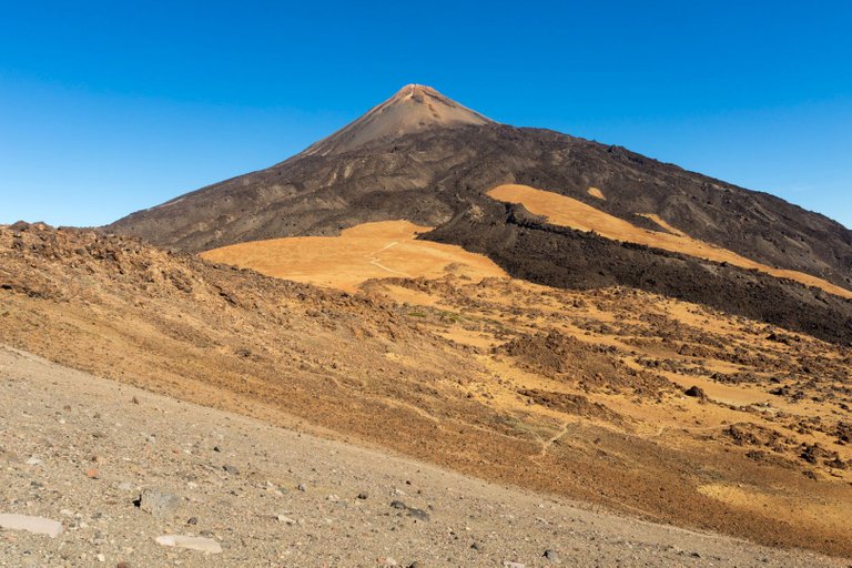
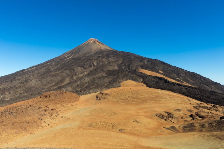
There was nothing left but to climb to the highest point of the Caldera to really conquer the mountain. On the way we looked at the massive lava flows of the neighboring Pico del Teide.
Nezbývalo nic jiného než vystoupat na nejvyšší bod Kaldery, abychom horu skutečně dobili. Cestou jsme koukali na masivní lávové proudy sousedního Pico del Teide.
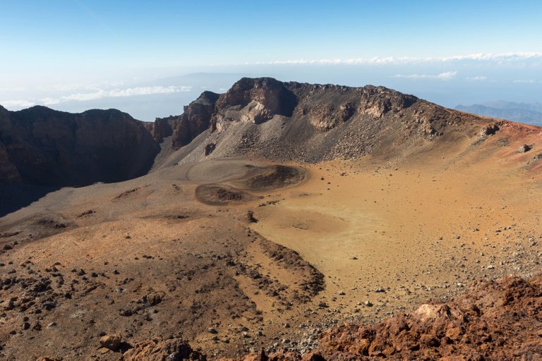
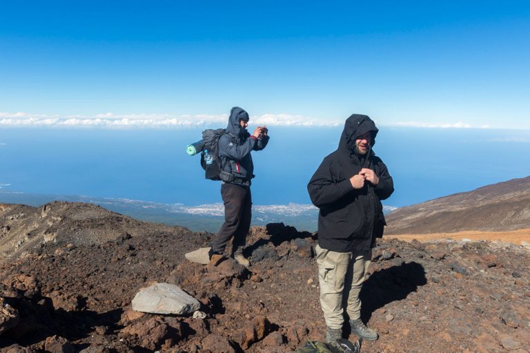
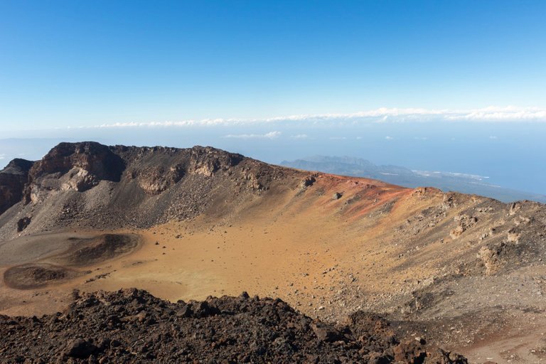
It was incredibly windy and cold at the top even before I was sweating all the way up. So we took a few quick photos, a little rum toast to recharge the summit. We took advantage of the last view of the western part of the island and headed somewhere to leeward to warm up in the sun for a while.
Na vrcholu bylo neskutečně větrno a chladno i před to, že jsem se celou cestu nahoru potili. Takže jsme udělali pár rychlých fotek, malý přípitek rumem na dobití vrcholu. Využili jsme posledního pohledu na západní část ostrova a zamířili někam do závětří se na chvíli ohřát na slunci.
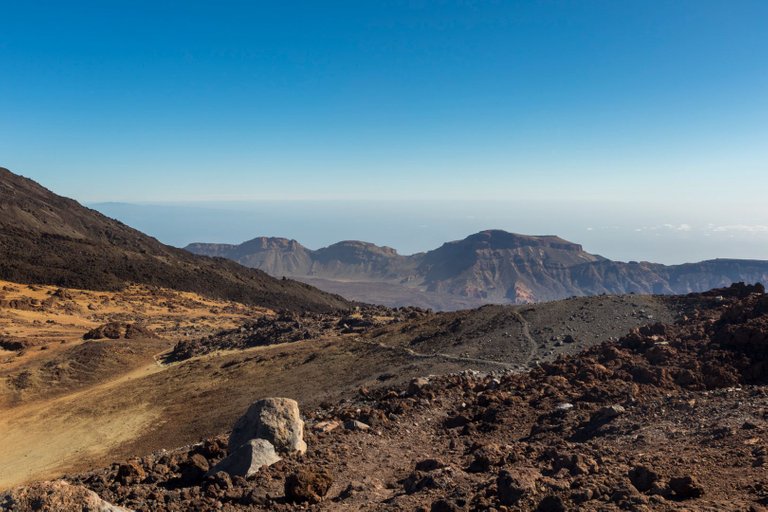
On the way down, we had a view of the eastern side of the Caldera with Guajara peak (2718m).
Při cestě dolů se nám otevřel pohled na východní stranu Caldery s v rcholem Guajara (2718m).
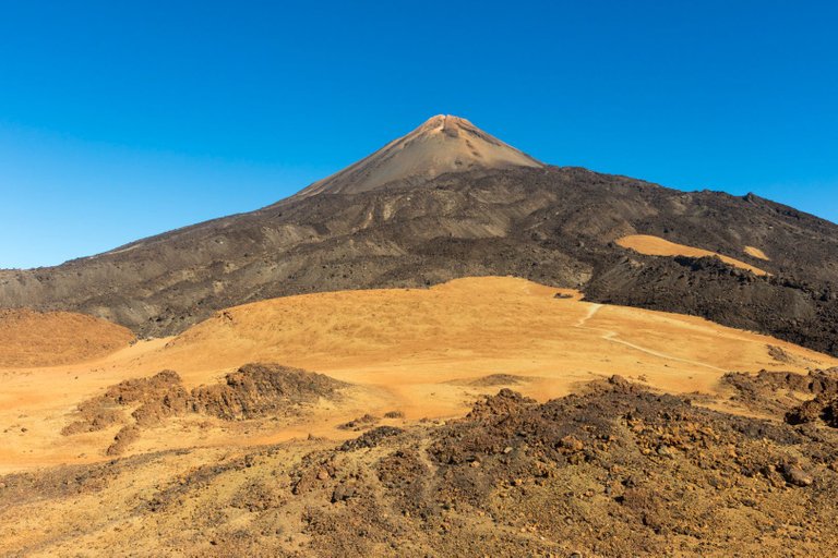
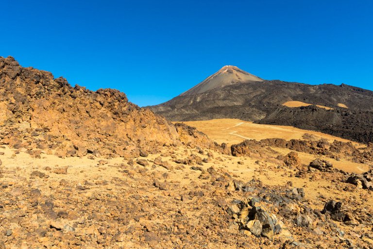
The color combinations that Teide offered from this point of view did not leave me alone, so I regularly turned around and took pictures.
Barevné kombinace, které z tohoto pohledu Teide nabízelo mě nenechali v klidu a tak jsem se pravidelně otáčel a fotil.
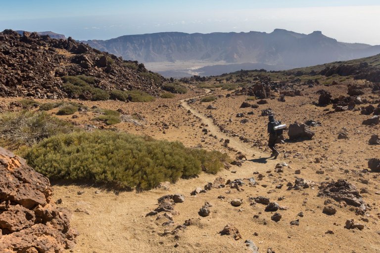
Only in such an open landscape do you realize how small you are. Because everything looks small from a distance, when they get closer to the place you find that lava flows are massive.
Teprve v takto otevřené krajině si člověk uvědomí jak je malý. Protože z dálky vše vypadá jako malé, ale když se k místu přiblíží zjistí, že lávové proudy jsou masivní.
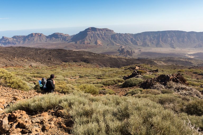
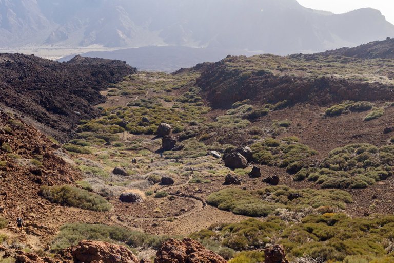
For example, you can't even see this valley in the previous photo, but it was at least half an hour's walk to cross it. Here we also met groups of people who were heading to the top at 4 o'clock in the afternoon and it was supposed to be dark in two hours, which we only had somewhere where we would be outside the most valuable zone of the park.
Třeba toto údolí na předchozí fotografii ani není vidět a přitom překonat ho bylo minimálně na půl hodiny chůze. Zde jsme potkali i skupinky lidí co mířili na vrchol ve 4 hodiny odpoledne a přitom měla být za dvě hodiny tma, což jsme my měli jentak tak někam kde by jsme byli mimo nejcennější zónu parku.
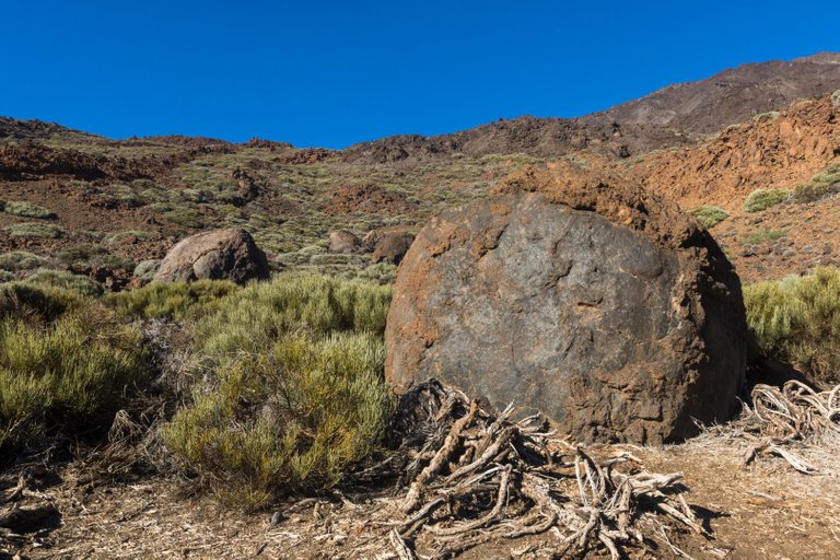
In the valley we passed round stones called Teide eggs. They were formed when the solidified lava reached the edge of a steep slope and rolled down the hill until it formed a spherical shape.
V údolí jsme prošli kolem kulatých kamenů, kterým se říká vejce Teide. Vznikli tak že ztuhlejší láva se dostala na okraj prudkého svahu a kutálela se dolů z kopce, až vznikl kulovitý tvar.
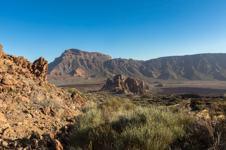
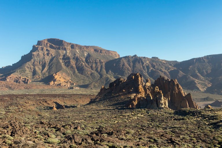
After crossing the valley, a view of the rock formation La Catedral opened up in front of us. In the setting sun, this rock looked like some kind of castle.
Po překonání údolí se před námi otevřel pohled na skalní útvar La Catedral. V zapadajícím slunci vypadala tato skála jako nějaký hrad.
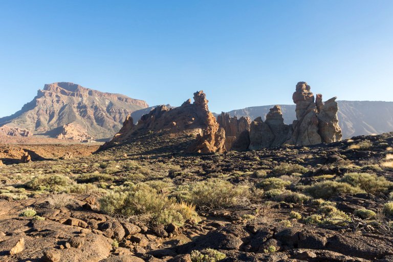
The closer we got, the more massive the rock formation was.
Čím blíž jsme byli tím masivnější skalní útvar byl.
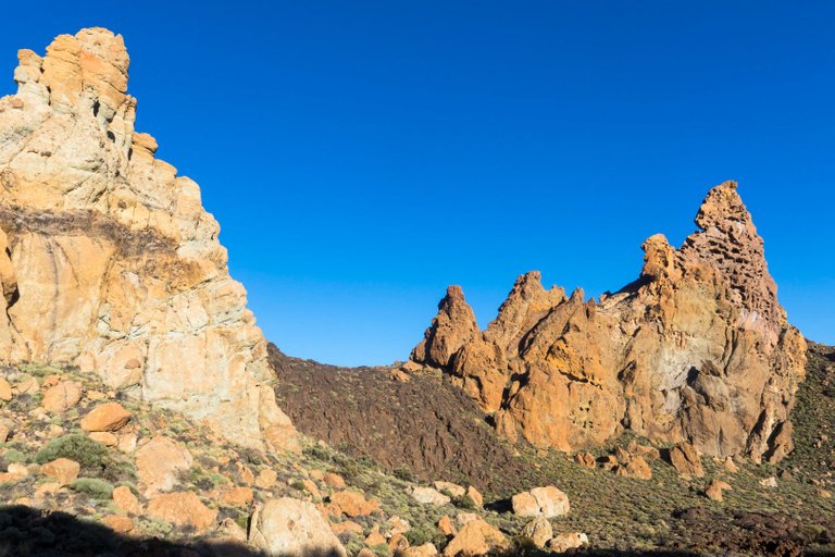
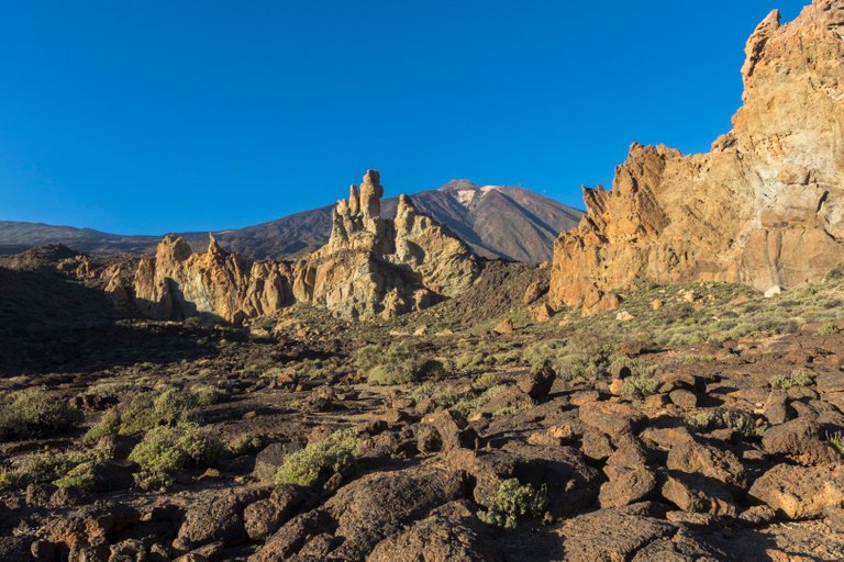
The place was absolutely breathtaking because each tower was made of a different material. Granite, limestone, sandstone and, to top it all off, a lava waterfall in the middle.
Místo bylo naprosto úchvatné, protože každá věž bylo z jiného materiálu. Žula, vápenec, pískovec a ke všemu lávový vodopád uprostřed.
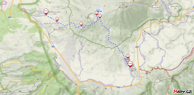
| Total distance traveled | meters Up | meters Down |
|---|---|---|
| 134.1 Km | 6481 m | 5423m |
A very wise decision to start such a tour very early in the morning, I can't imagine the high temperatures that are reached during the day in such a location.
The images are fantastic, almost apocalyptic and although it must be much more amazing to see it in person, reading your comments about the immensity and distance is amazing to me.
I agree that it must be a marvel to enjoy the walk accompanied by that scale of colors. It's said that's why the desert is deceiving, that we think about the heat and forget that at a certain altitude we will always be more susceptible to the cold hehe.
Amazing sequence of pictures and posts about Tenerife! I loved it!! Your trip was long and also very rich in knowledge!! I enjoy a lot the mountains made with different materials, because their colors use to be super different and shiny in the real life. I’m sure the pictures show the half of what you saw.
I usually try to plan my trips so that I have enough time to enjoy the place and get to know it in detail. For example, this is my third trip to Tenerife and I spent a total of 7 weeks there, so there aren't many places on the island where I haven't been. And with longer time spent in one place, knowledge of the surroundings will also appear.
Amazing!! It’s a beautiful way of traveling!! I’ll consider it for one of my trips! :D
Někdy se tam budu muset podívat znovu... Ta krajina je fascinující... A měl jsem spoustu fotek, tehdy ještě na diapozitivy. Bohužel už je asi nidky nedostanu...
Na focení je to ráj, proto jsem si Tenerife vybral když jsem před lety hledal místo kam vyrazit. Protože jsem od tamtud neviděl mnoho hezkých fotek, spíš turistický momentky.
The only part I'm missing in these views the lack of vegetation and trees. Nothing grows here due to extreme temperature or soil issues?
It's a combination of all sorts of factors, but altitude and rainfall play a major role, as Mount Teide reflects a lot of rainfall around the island.
If there is enough rainfall, then plants must grow beautifully in the area.
Congratulations, your post has been added to Pinmapple! 🎉🥳🍍
Did you know you have your own profile map?
And every post has their own map too!
Want to have your post on the map too?
Daily Travel Digest #1879.
Become part of our travel community:
- Join our Discord
- Learn more about our travel application
Hiya, @LivingUKTaiwan here, just swinging by to let you know that this post made it into our Honorable Mentions in Your post has been manually curated by the @pinmapple team. If you like what we're doing, please drop by to check out all the rest of today's great posts and consider supporting other authors like yourself and us so we can keep the project going!