Once again, I welcome all readers, travelers and actually everyone to the next continuation of my notes from my journey along the St. James's Way through Switzerland. I want to apologize in advance that it took me a whole month to get to the next sequel. But I knew this piece would be massive and I didn't have enough time to process the photos and all the data for this piece. So let's go on a journey through the picturesque Swiss countryside.
Opět vítám všechny čtenáře, cestovatele a vlastně všechny u dalšího pokračování zápisků z mojí cesty po Svatojakubské stezce skrze Švýcarsko. Předem se chci omluvit, že mi trvalo celý měsíc něž jsem se dostal k dalšímu pokračování. Ale věděl jsem, že tento díl bude masivní a já neměl dostatek času na zpracování fotografií a veškerých dat pro tento díl. Pojďme tedy na cestu skrz malebnou Švýcarskou krajinu.
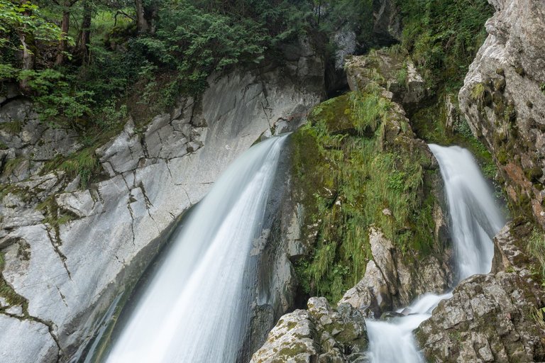
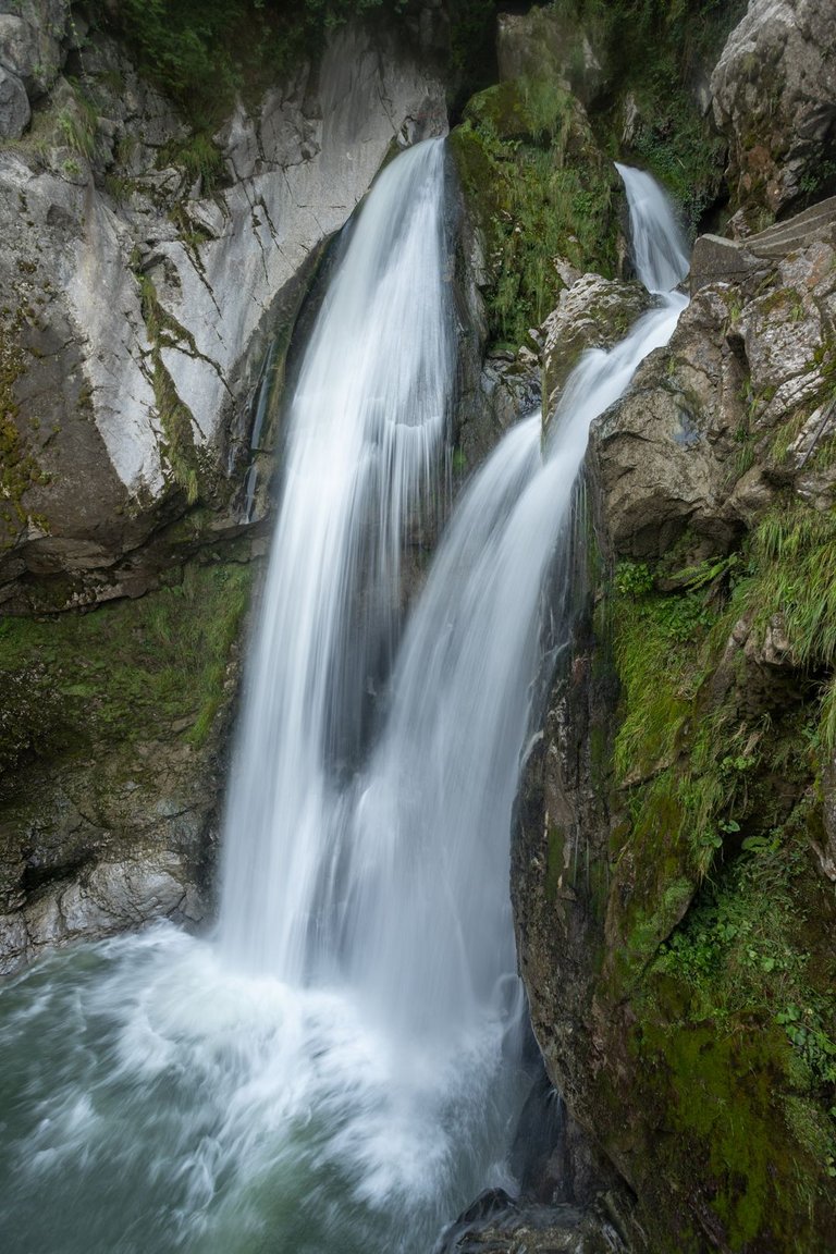
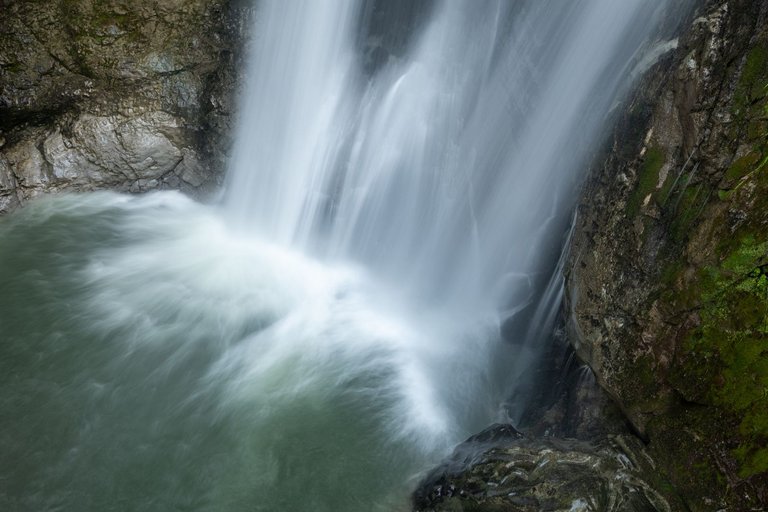
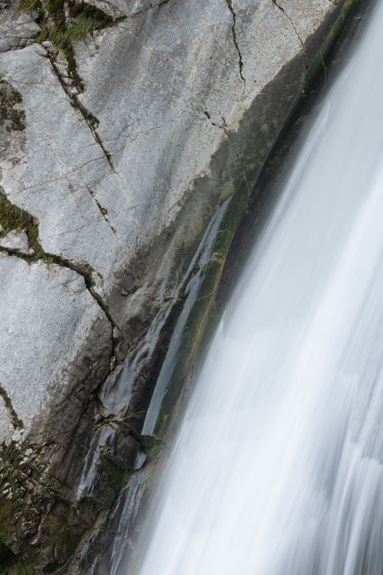
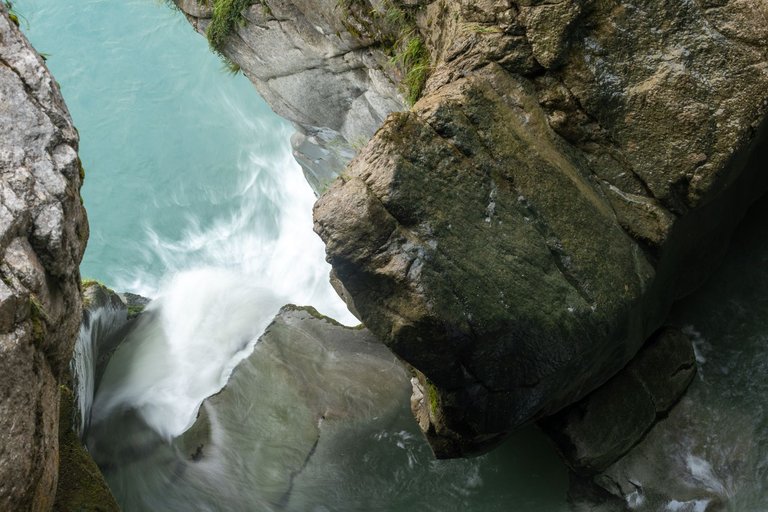
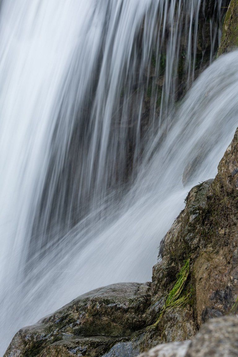
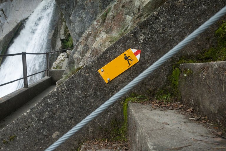
In the morning, I woke up earlier than everyone who spent the night at the campsite, so I didn't want to wake them up by messing around while packing things. So I went to take pictures of the nearby waterfall again. Which strongly encouraged my creativity, which ended up sticking with me all day. After about an hour I went back to my bivouac and started packing slowly, because the area was already alive.
Ráno jsem se vzbudil dříve než všichni, kteří na tábořišti nocovali a tak jsem je nechtěl budit šramocením při balení věcí. Tak jsem se vydal opět fotit nedaleký vodopád. Což silně povzbudilo mojí kreativitu, která se mě nakonec držela celý den. Asi po hodině jsem se vrátil zpět k mému bivaku a začal pomalu balit, protože v okolí bylo již živo.
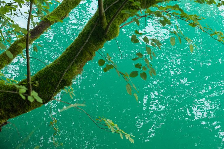
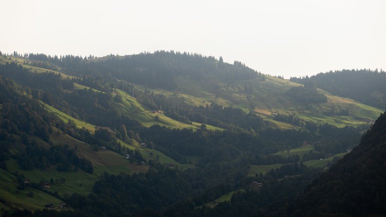
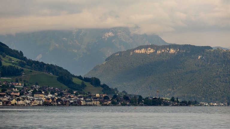
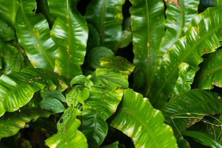
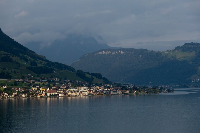
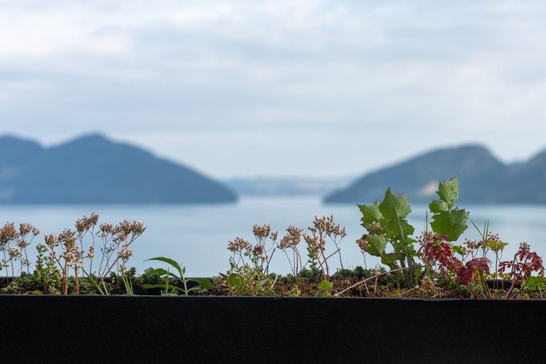
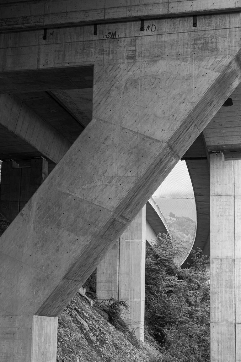
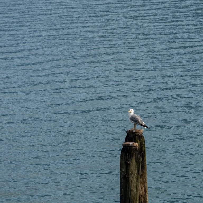
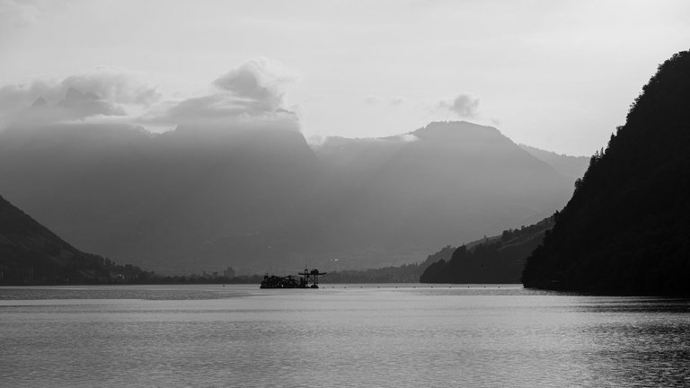
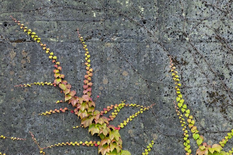
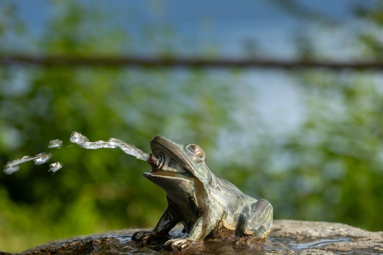
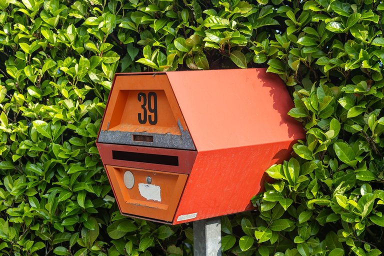
When I set out on my journey. The sun was already occasionally breaking through the low clouds, so on the way to the town of Beckenried around the lake, I had a lot of opportunities to take interesting pictures.
Když jsem se vydal na cestu. Slunce se občas prokousalo skrze nízkou oblačnost a tak jsem cestou směrem k městečku Beckenried kolem jezera, měl spoustu možností pořídit zajímavé snímky.
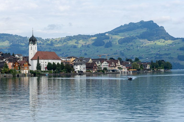
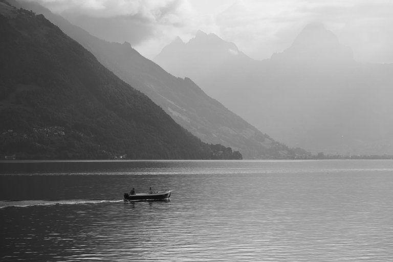
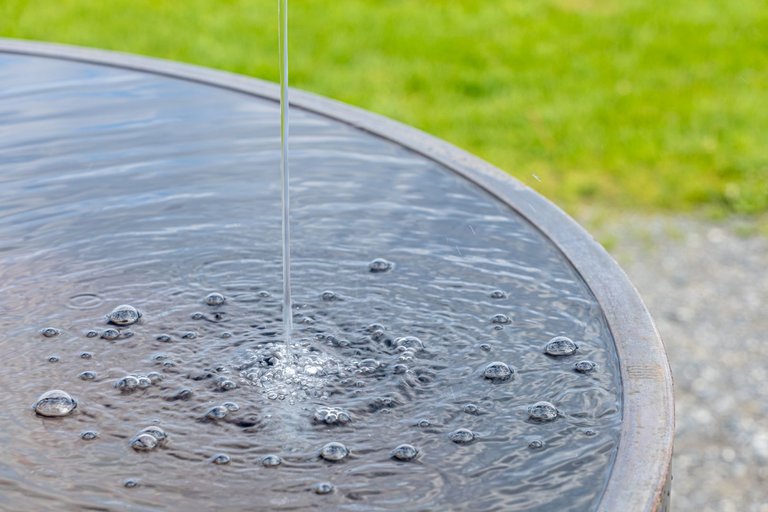
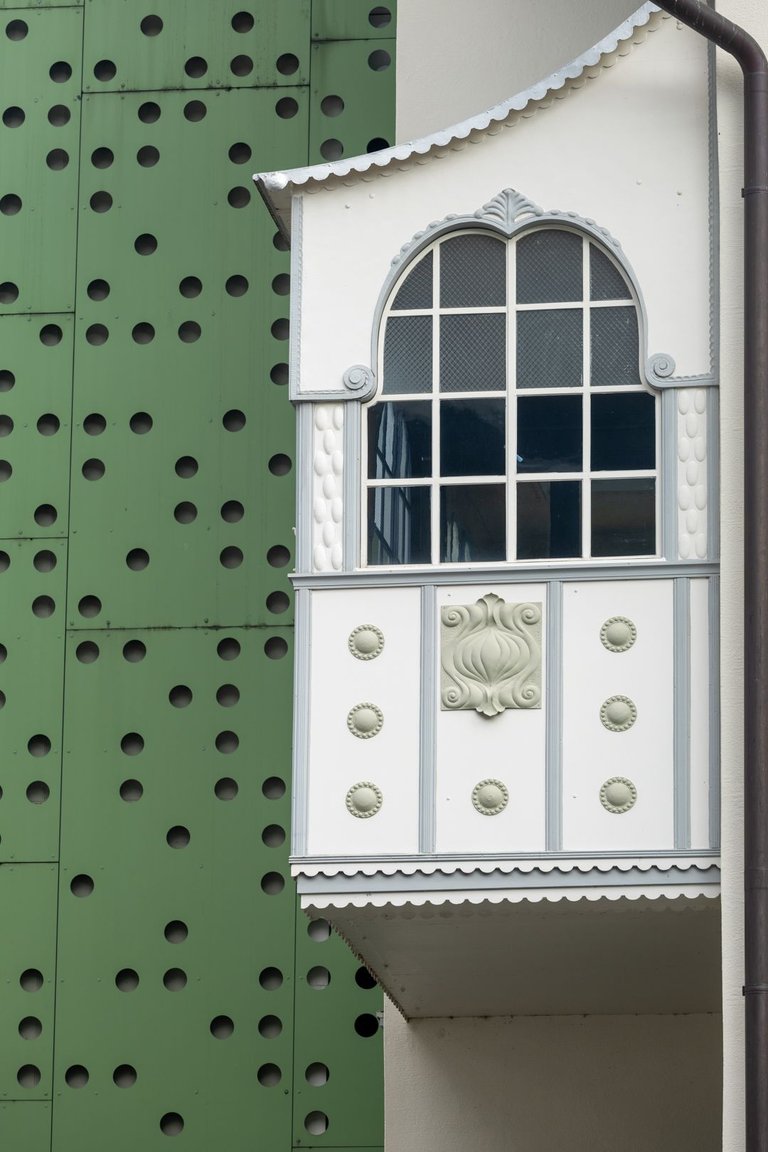
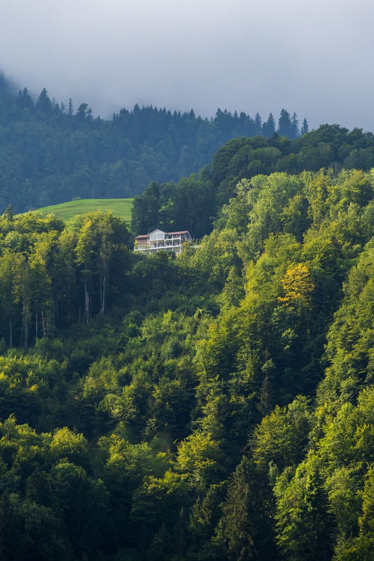
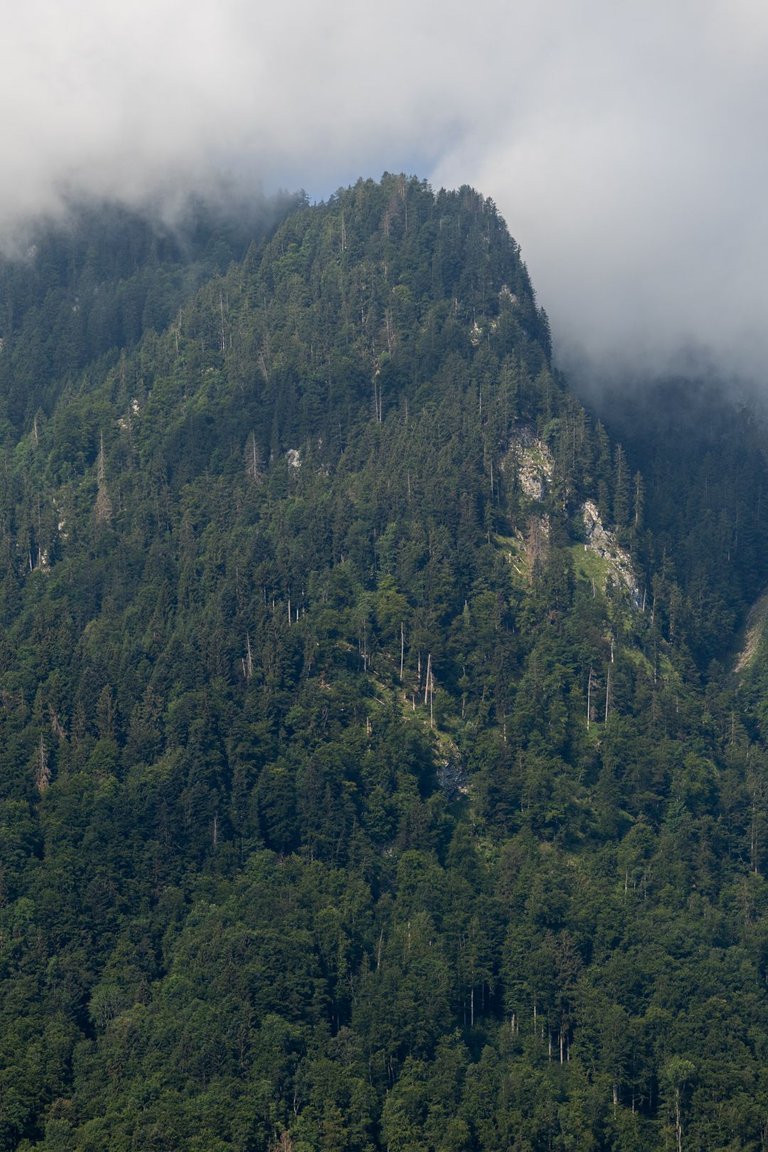
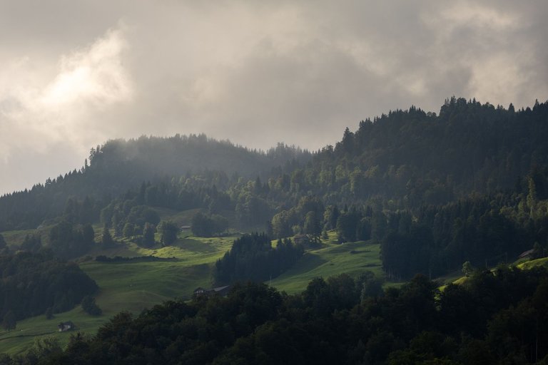
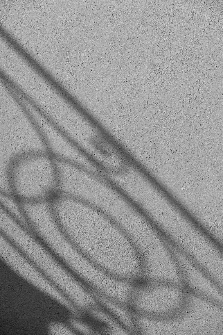
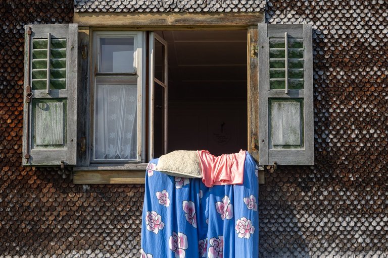
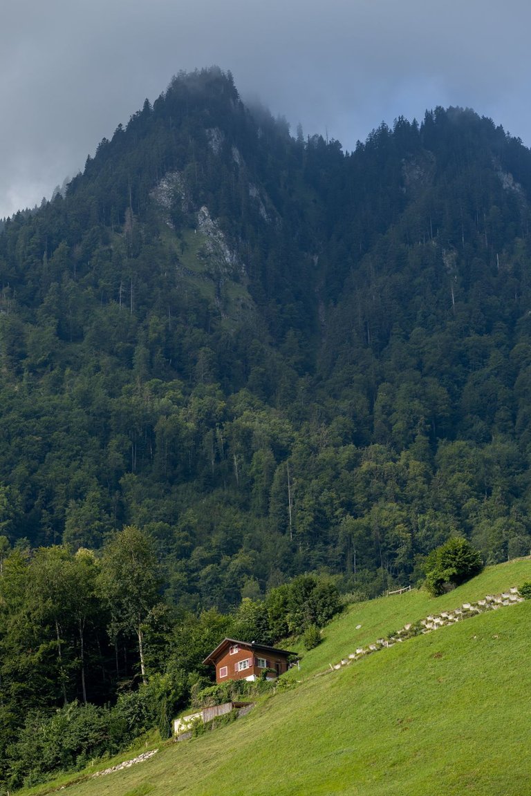
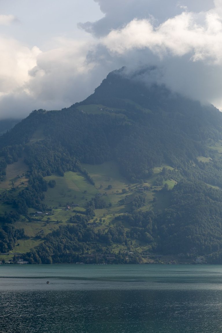
The light conditions were absolutely brilliant and the morning exercise by the waterfall allowed me to see compositions absolutely everywhere. Details, textures, or entire landscapes.
Světelné podmínky byly naprosto geniální a ranní cvičení u vodopádu mi umožňovalo vidět kompozice naprosto všude. Detaily, textury, nebo celé krajinky.
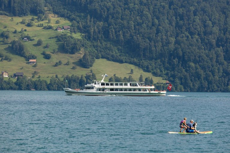
It took me about two hours to get through the town. At the end of town was the beach full of people. And since the day before, I had planned to swim in Vierwaldstättersee. Here was an ideal option. After swimming in the lake, there was still time to take some photos while I dried off.
Trvalo mi asi dvě hodiny se městem prokousat. Na konci města mě zaujala pláž plná lidí. A od předchozího dne jsem měl v plánu se v Vierwaldstättersee vykoupat. Zde byla ideální možnost. Po koupeli v jezeře byl ještě čas udělat nějakou tu fotografii, během doby co jsem osychal.
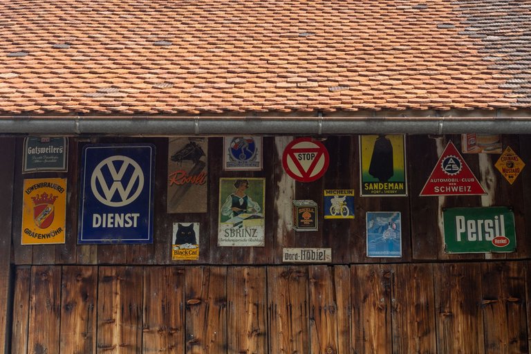
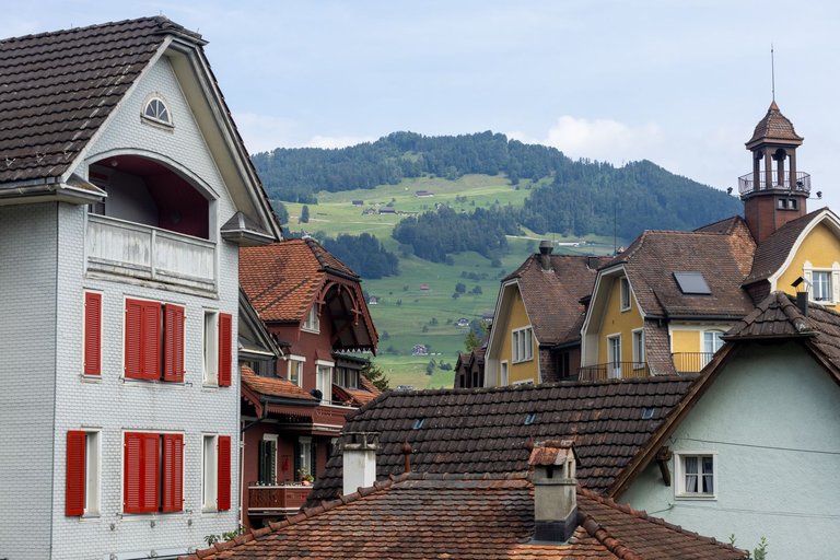
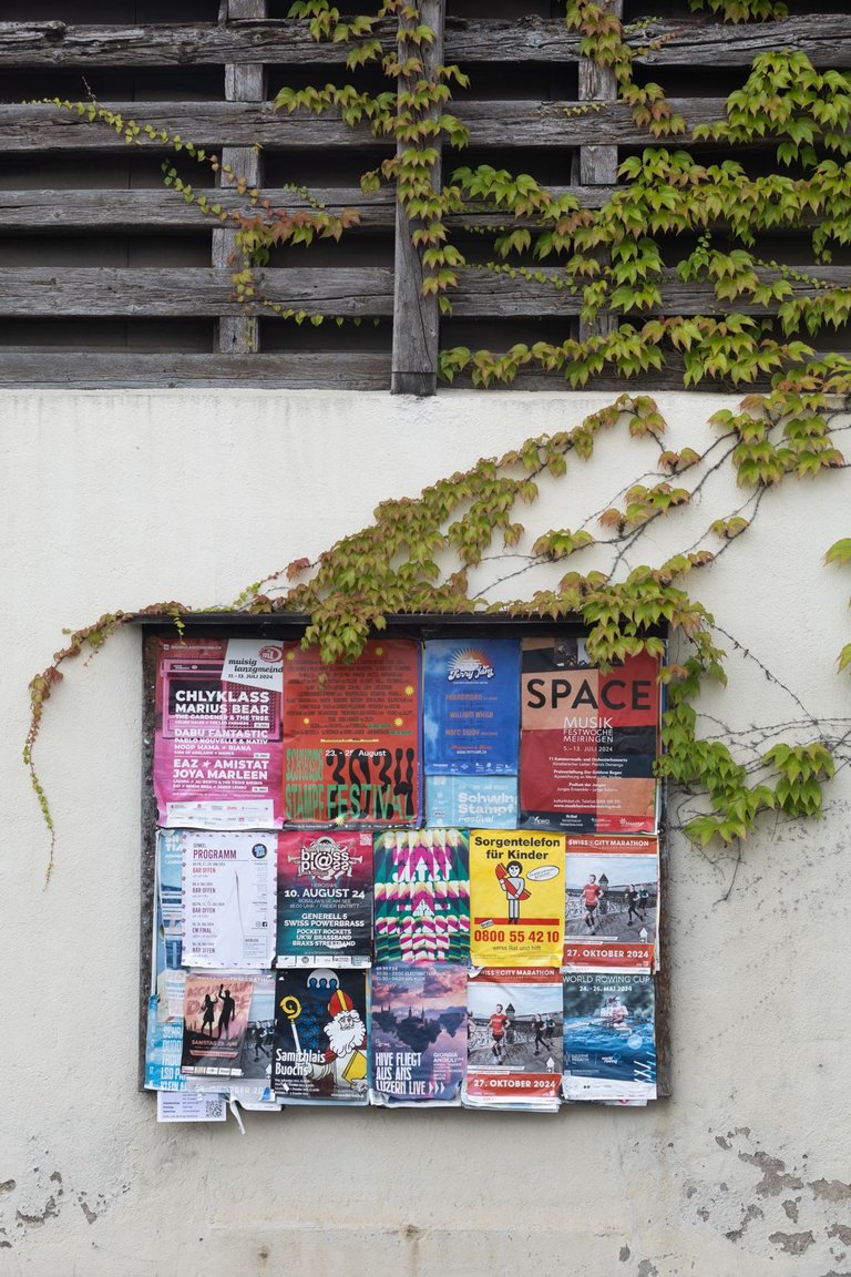
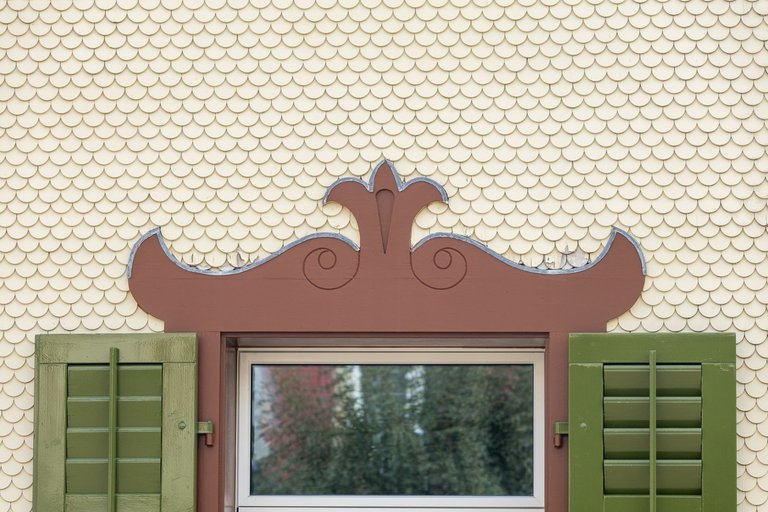
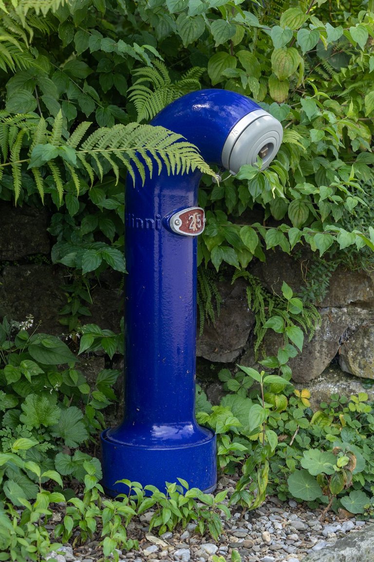
The next town on my way was Buochs. Here it was exactly the same as in the previous city. Fortunately, it wasn't that big and so I got through much faster.
Dalším městečkem na mé cestě bylo Buochs. Zde to bylo naprosto stejné jako v městě předchozím. Naštěstí nebylo tak veliké a tak jsem se skrze dostal daleko rychleji.
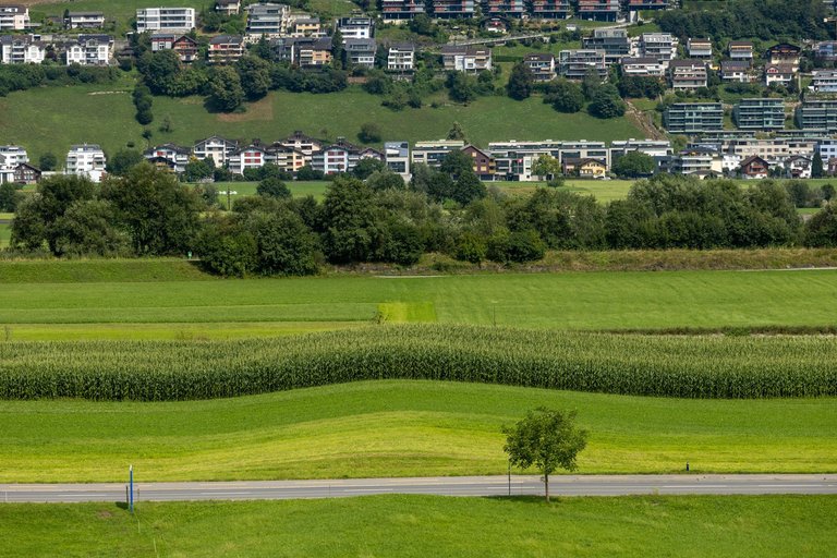
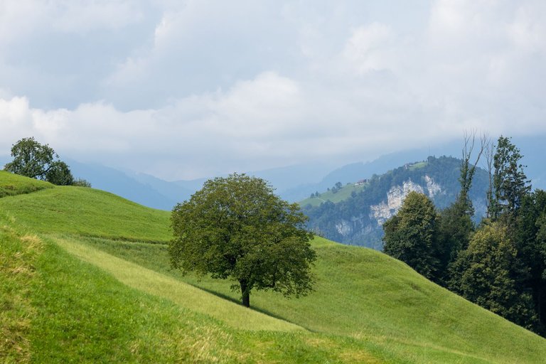
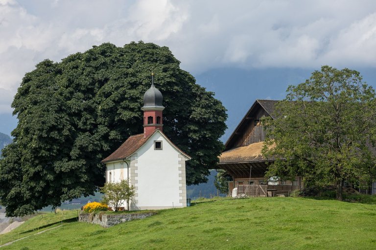
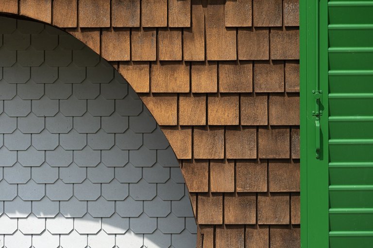
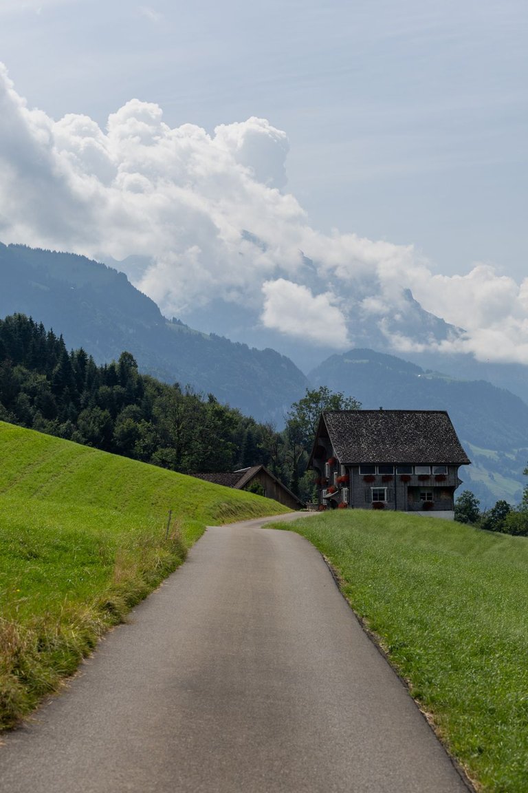
I got to the agricultural landscape. From where was the view to landscape, because I started to climb the hills, but not for long. Very quickly I began to descend again towards the next town. This time it was called Stans. As I descended, I knew that the high peaks of the Alps were hiding in the clouds, to which I was irreversibly approaching.
Dostal jsem se do zemědělské krajiny. Odkud byl výhled do krajiny, protože jsem začal stoupat do kopců, ale ne na dlouho. Velmi rychle jsem začal zase klesat k dalšímu městu. Tentokráte se jmenovalo Stans. Při klesání jsem viděl, že se v mracích schovávají vysoké vrcholy Alp, do kterých jsem se nenávratně blížil.
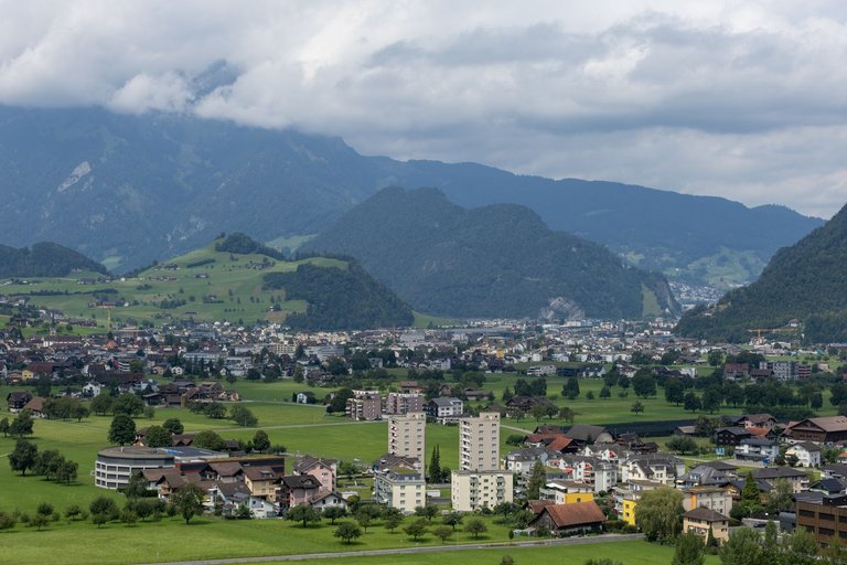
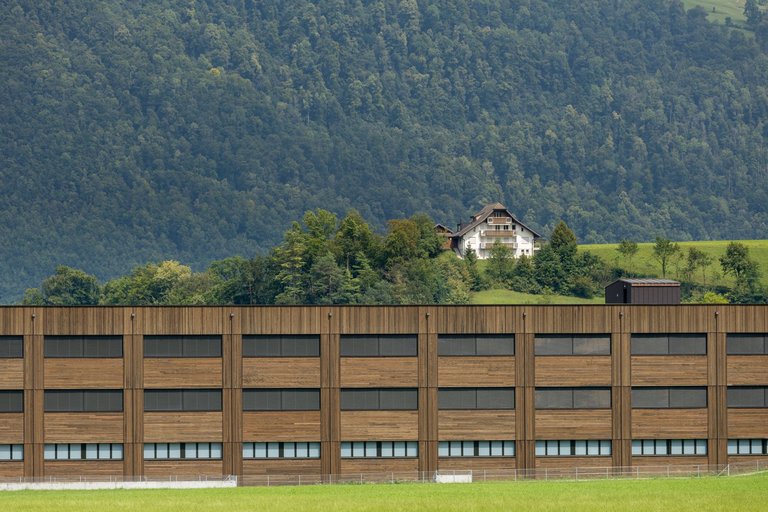
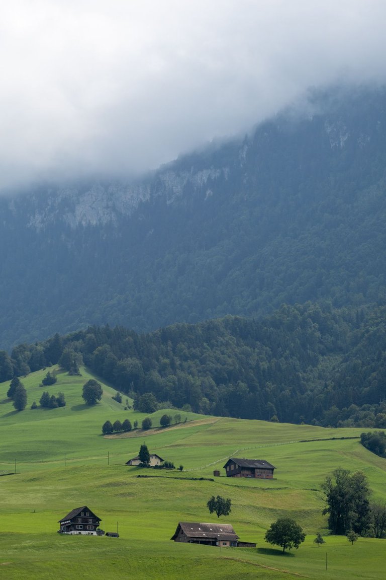
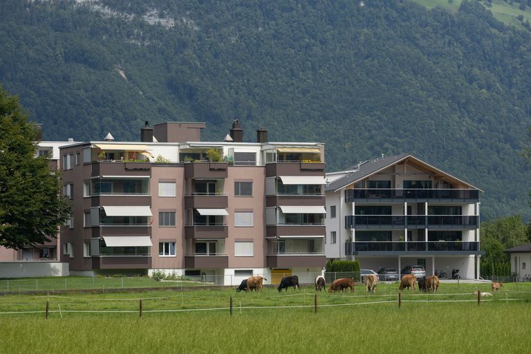
I had the 70-200mm lens on. Since the morning photo shoot. Which was the ideal glass for this landscape. That's why I started calling it Swiss Glass. It was possible to photograph absolutely everything, details or entire landscapes. Only in cities it was a bit more complicated, but on the other hand it forced me to shoot things differently than if I had a wide angle lens attached. Like when I noticed the cows grazing in front of the apartment building. I had no problem capturing this scene.
Od ranního focení jsem měl nasazený objektiv 70-200mm. Což bylo ideální sklo do této krajiny. Proto jsem mu začal říkat Švýcarské sklo. Dalo se s ním fotit naprosto všechno, jak detaily, také celé krajinky. Jen ve městech to bylo trochu komplikovanější, ale na druhou stranu mě to nutilo fotit věci jinak, než kdybych měl nasazen širokoúhlý objektiv. Třeba když jsem si všimnul krav pasoucích se před bytovkou. Neměl jsem problém tuto scénu zachytit.
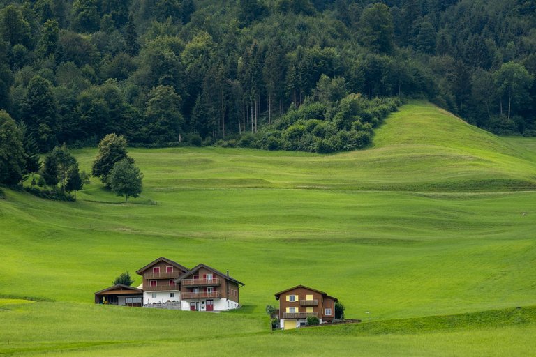
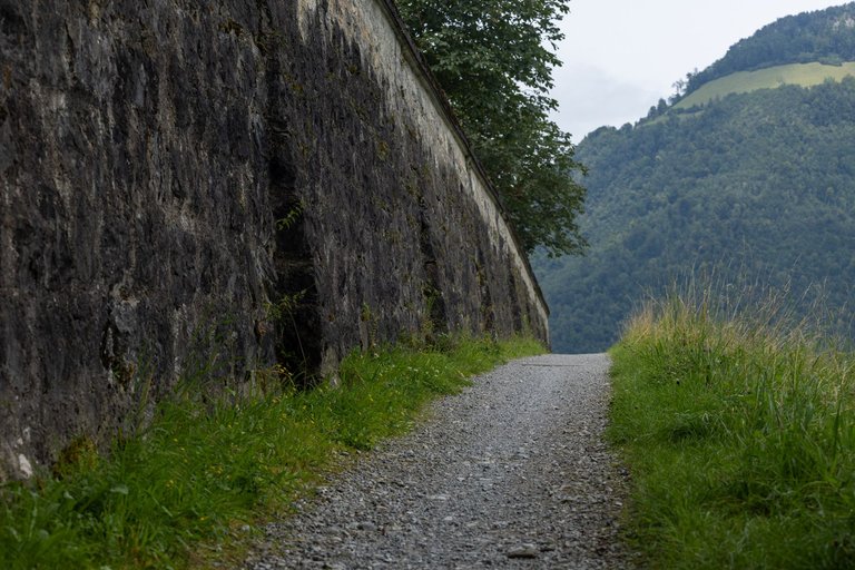
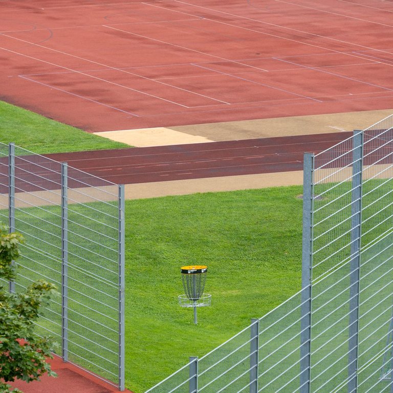
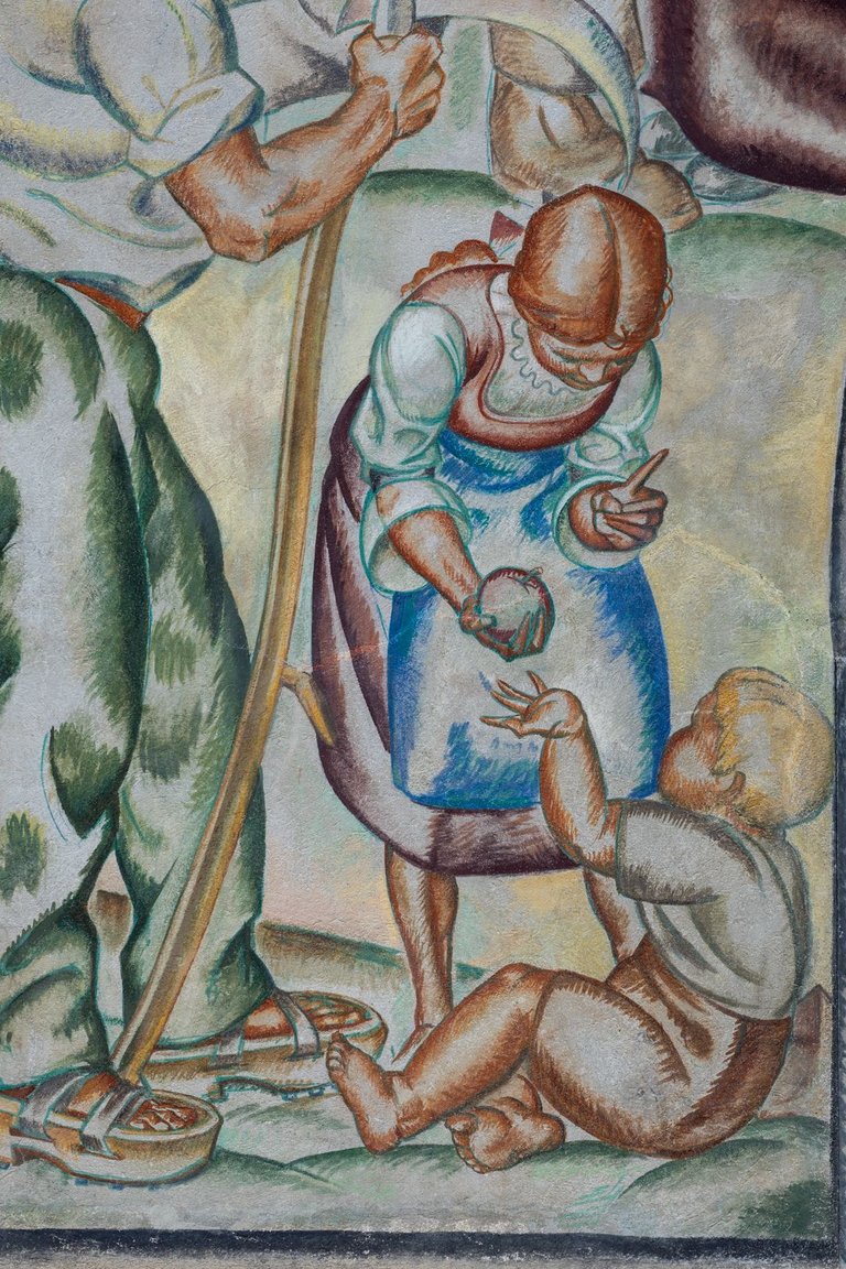
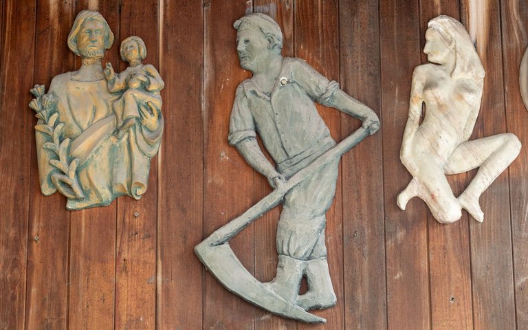
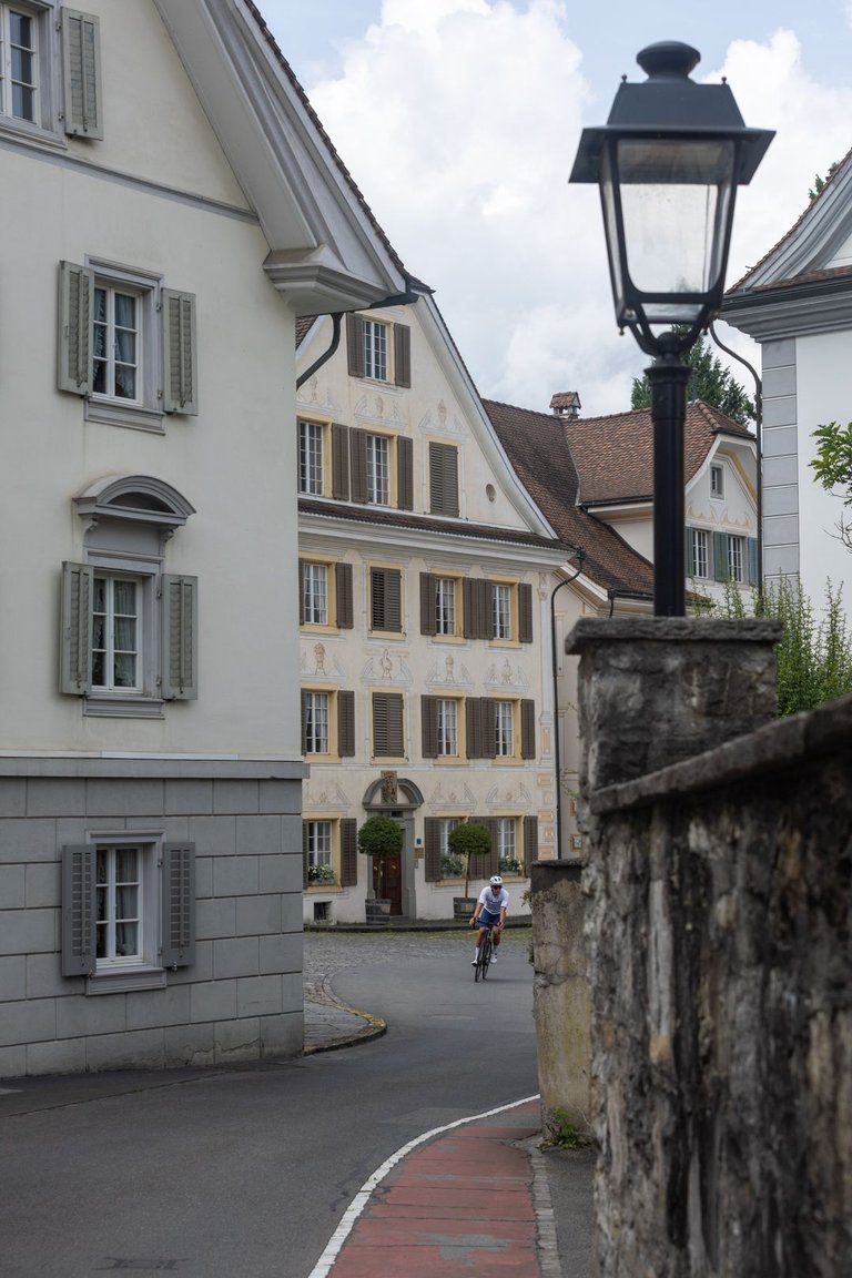
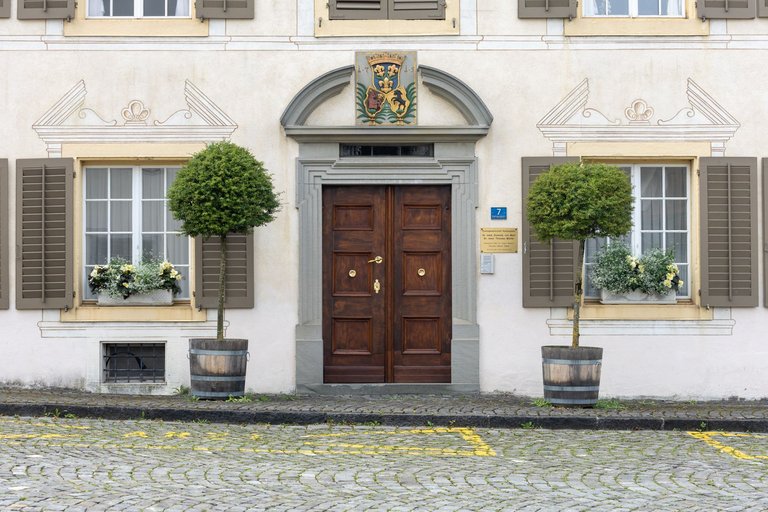
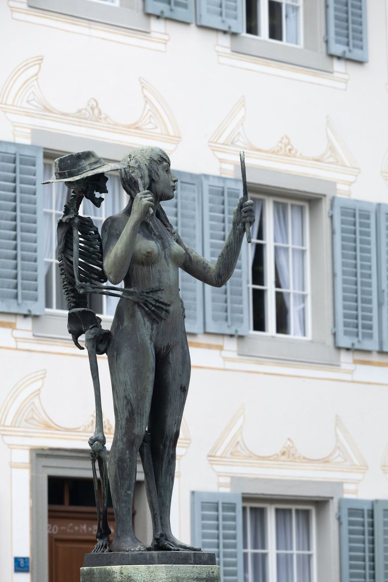
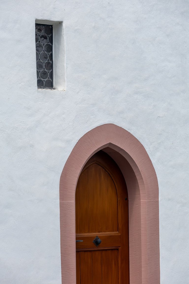
The historic center of Stans is definitely worth a visit, and by photographing places on a long lens, I may have set up a game for someone to try to find the details I photographed. Because they are mostly at very interesting buildings.
Historické centrum města Stans rozhodně stojí za návštěvu a tím, že jsem fotil místa na dlouhé sklo jsem možná pro někoho připravil hru, že se pokusí najít mnou vyfocené detaily. Protože se většinou jedná o velmi zajímavé budovy.
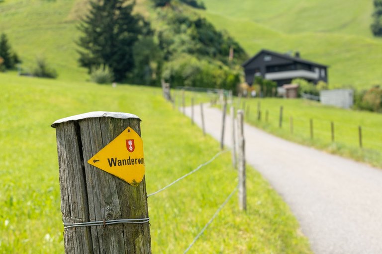
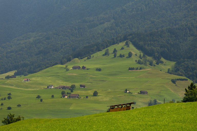
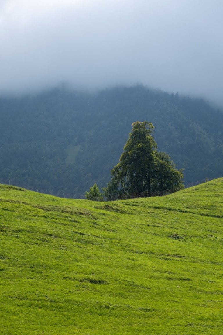
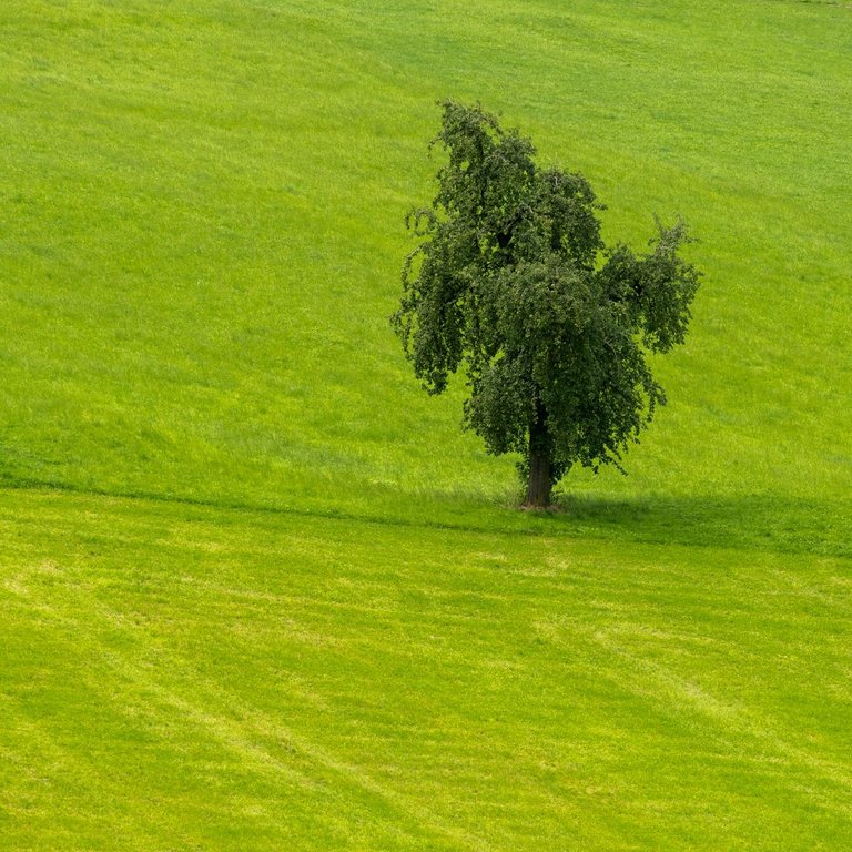
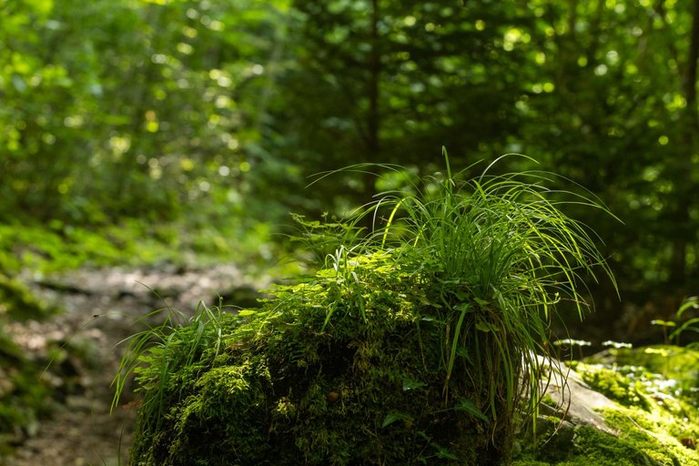
After that, the trail took me through a diverse landscape with landscape views. For a moment, she dragged me through the forest, where I cooled down for a while. Although it was overcast at times, it was quite warm.
Poté mě stezka provedla rozmanitou krajinou s výhledy do krajiny. Na chvilku mě protáhla lesem kde jsem se na chvíli ochladil. Přestože bylo chvílemi pod mrakem, bylo dost teplo.
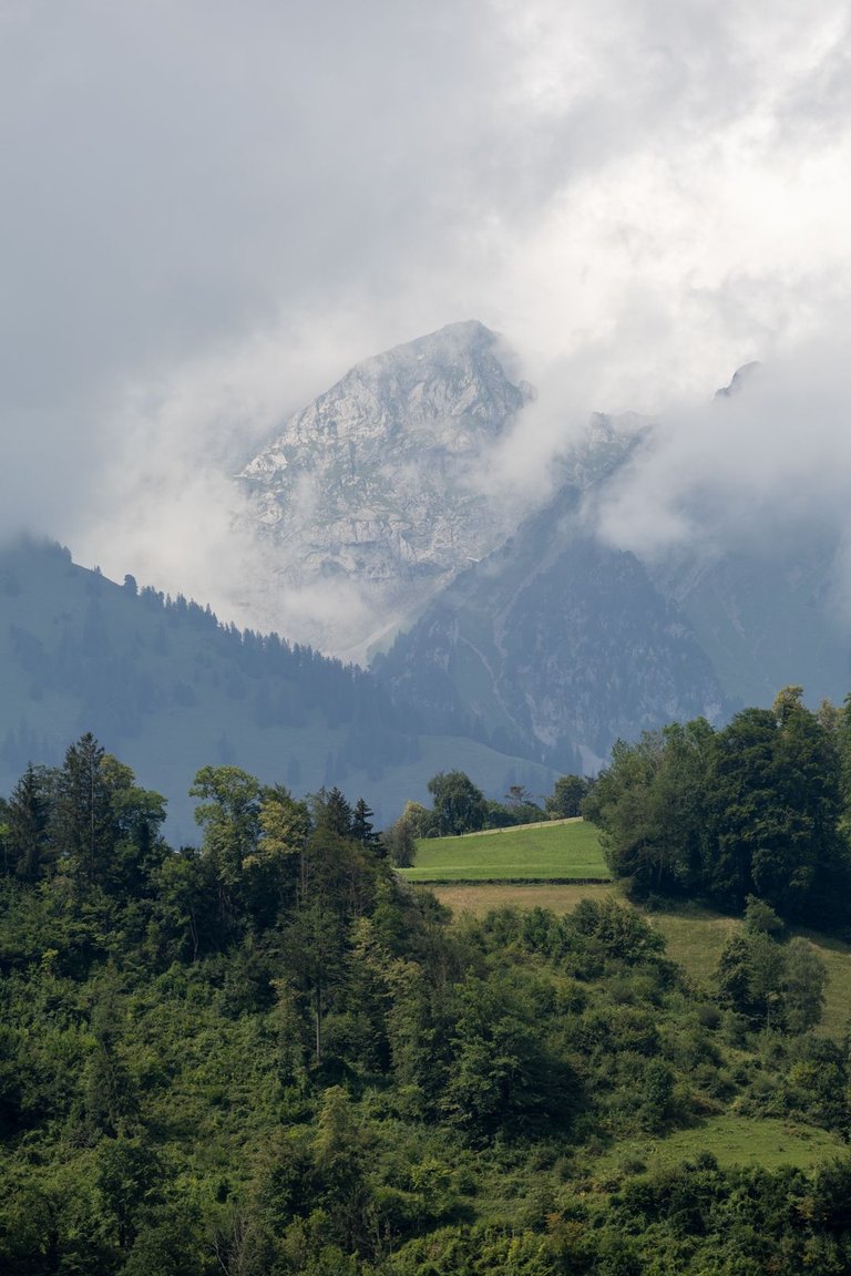
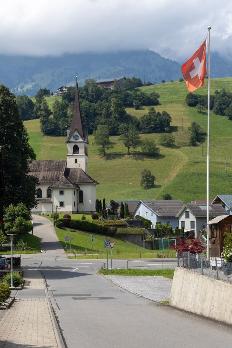
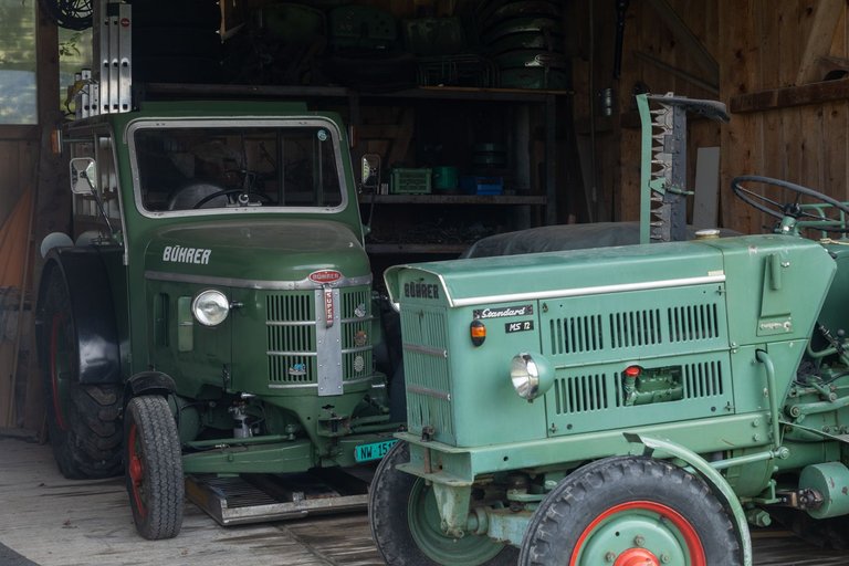
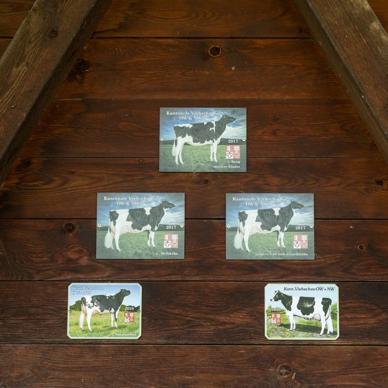
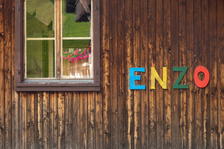
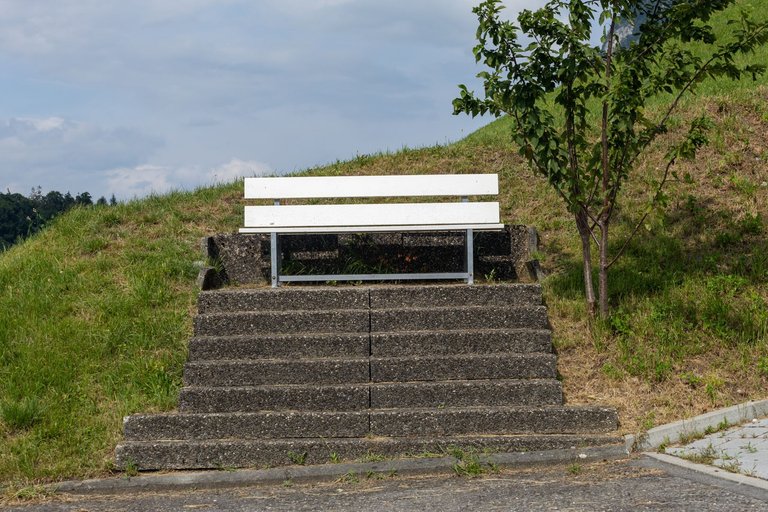
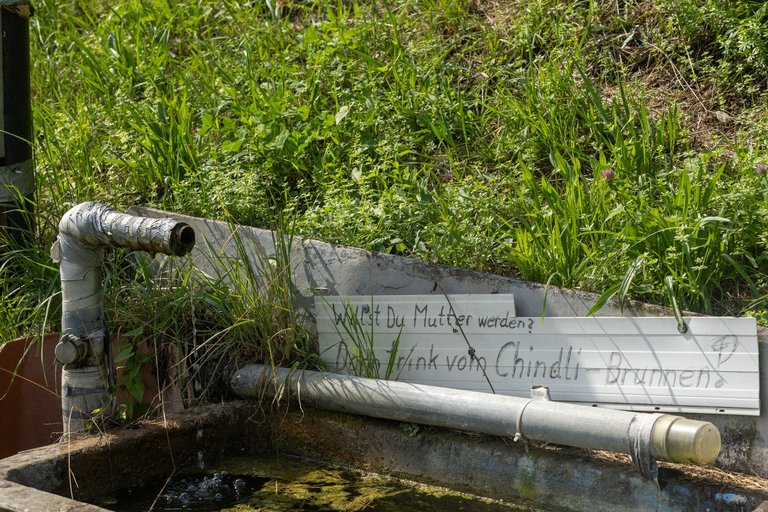
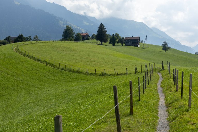
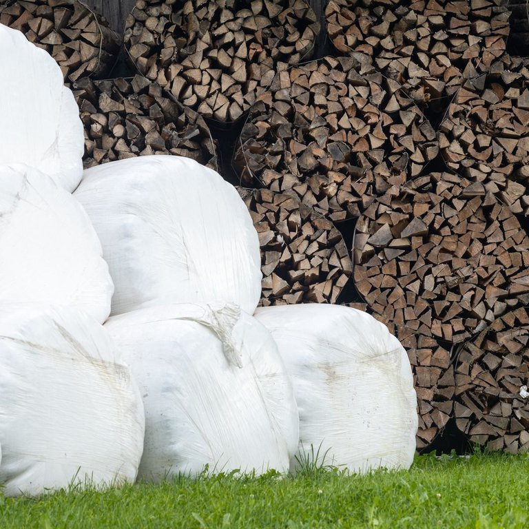
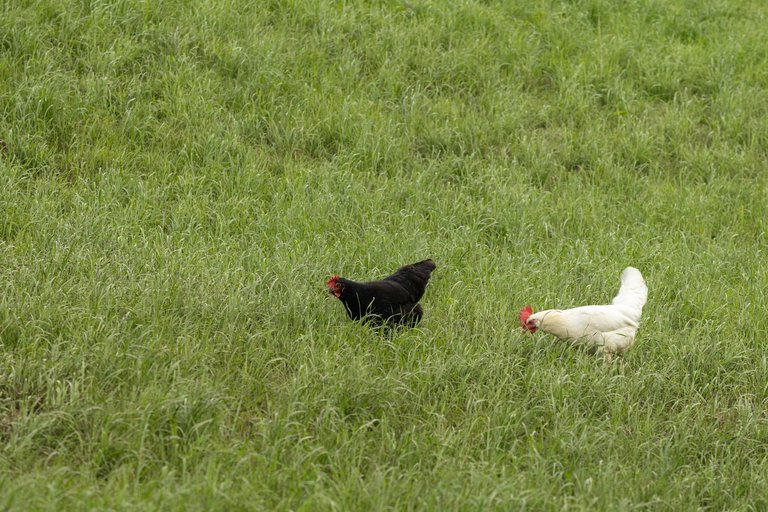
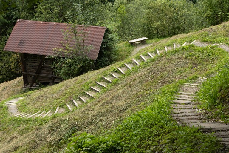
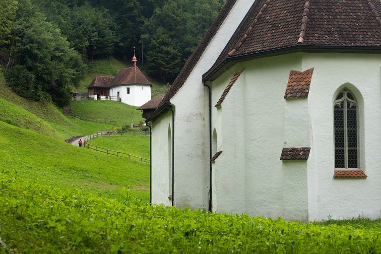
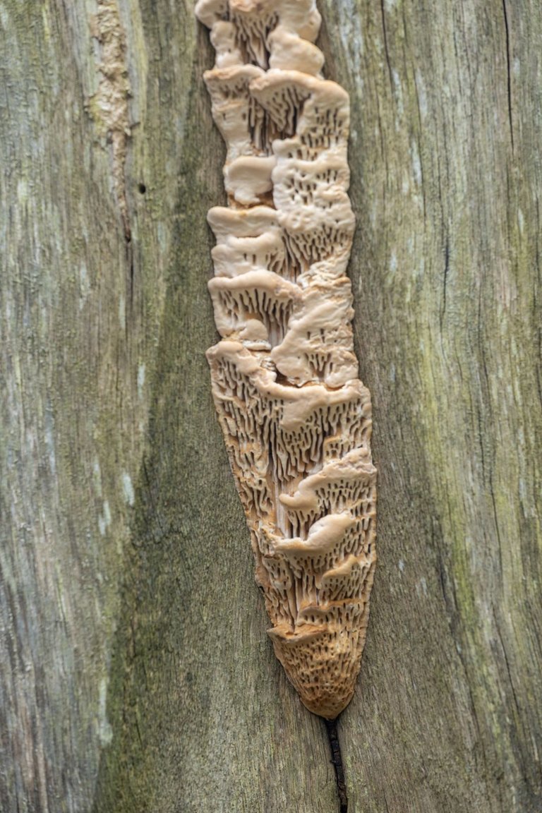
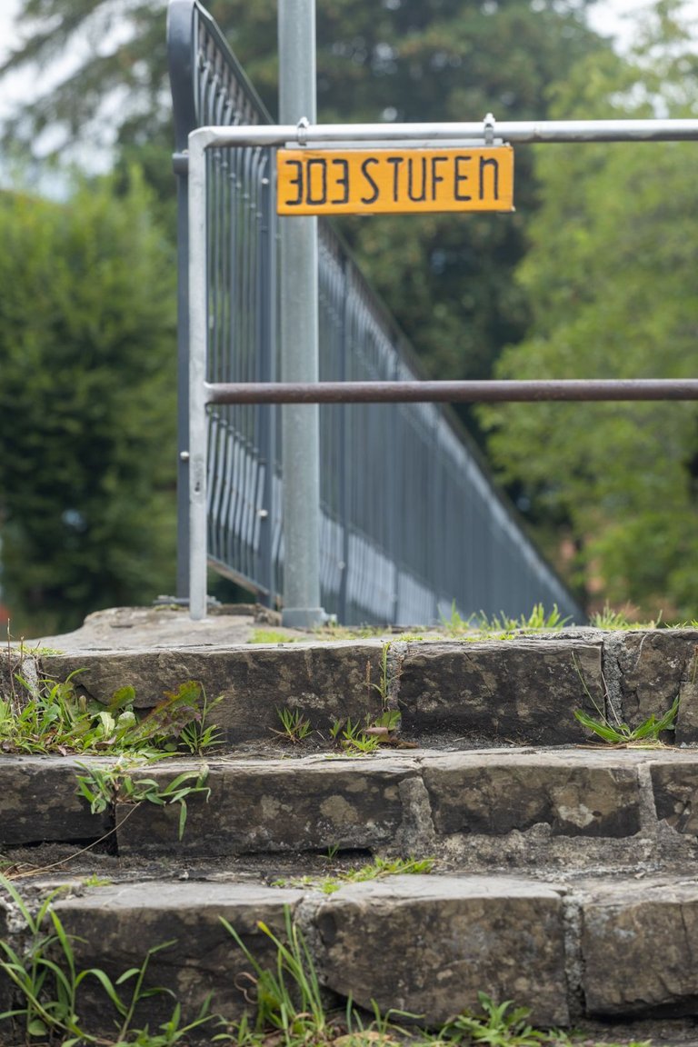
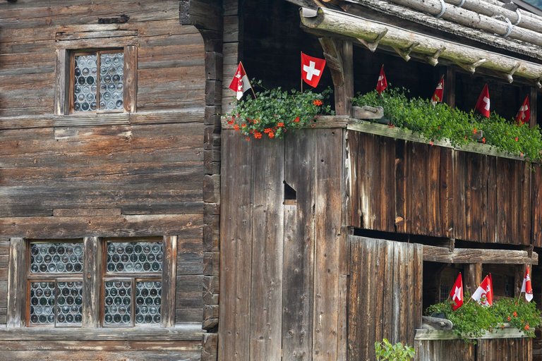
I spent the whole afternoon marching in the valley around the river Sarneraa. I gradually climbed to almost 850 meters above sea level. Then drop 200 meters in height and climb 100 meters up again in the vicinity of the chapels near the village of Flüeli Ranft. Here I planned to spend the night at a campsite outside the village. I had company for the night in the form of a local young punk who was also on the trail. He played all kinds of music until the quiet of the night, which was at 9 o'clock. Then I could only hear "Scheißmücke", which occasionally echoed into the darkness.
Celé odpoledne jsem strávil pochodem v údolí kolem říčky Sarneraa. Postupně jsem vystoupal skoro do 850 metrů nad mořem. Abych následně klesl o 200 výškových metrů a zase vystoupal 100 metrů nahoru v okolí kaplí u vesnice Flüeli Ranft. Zde jsem plánoval přenocovat na tábořišti za vesnicí. Na noc jsem měl společnost v podobě místního mladého pankáče, který byl také na stezce. Do nočního klidu, který byl v 9 hodin pouštěl všemožnou hudbu. Pak už jsem slyšel pouze "Scheißmücke", které se občas ozvalo do tmy.
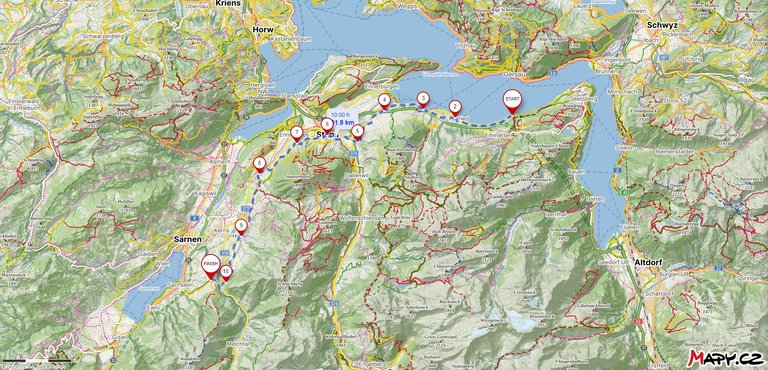
Route from Risleten to Flüeli Ranft
| Kilometers walked | Meters Up | Meters Down |
|---|---|---|
| 985.5 Km | 16652 meters | 16101 meters |
Links to the last 5 articles
Jan Hus Trail / Jakobsweg - From Bad Waldsee to Unterteuringen (GER) / Day 20
Jan Hus Trail / Jakobsweg - From Unterteuringen (GER) to Hugelshofen (CH) / Day 21
Jakobsweg - From Hugelshofen to Hörnli (1133m) (CH) / Day 22
Jakobsweg - From Hörnli (1133m) to Tüfelsbrugg (CH) / Day 23
Jakobsweg - From Tüfelsbrugg to Risleten (CH) / Day 24

The images you show are very beautiful, friend.
Thank you.
You are welcome.
OMG these pictures seems to be surrealistic!! What an amazing place! I love it!!
Everyone in Switzerland admires only the beautiful nature, but I found beauty in the details that are hidden in that nature. One could even say surrealistic at times.
absolutely beautiful shooting and editing!
Thank you. Editing is only decent, light was perfect all day.
You can check out this post and your own profile on the map. Be part of the Worldmappin Community and join our Discord Channel to get in touch with other travelers, ask questions or just be updated on our latest features.
Hiya, @ybanezkim26 here, just swinging by to let you know that this post made it into our Honorable Mentions in Travel Digest #2368.
Your post has been manually curated by the @worldmappin team. If you like what we're doing, please drop by to check out all the rest of today's great posts and consider supporting other authors like yourself and us so we can keep the project going!
Become part of our travel community: