Welcome to the seventeenth continuation of my notes from travels in the footsteps of Jan Hus from Prague to Constance. Today we look into a huge crater that was created by a meteorite 14.5 million years ago. At its bottom lie several medieval towns and villages, which we will also take a look at today. So let's get to it.
Vítejte již u sedmnáctého pokračování zápisků z mých cest po stopách Jana Husa z Prahy do Kostnice. Dnes se podíváme do obrovského kráteru, který vytvořil meteorit před 14.5 miliony let. Na jeho dně leží několik středověkých měst a vesnic do nichž se také dnes podíváme. Pojďme tedy na to.
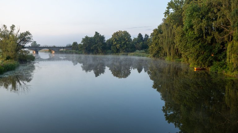
Morning I got up with the sunrise, because I knew I had a long day ahead of me. After a few days, I was able to have breakfast at the place of the night. Because I was not attacked by bloodthirsty mosquitoes. After I set off on my journey, I had to descend into the Ries Crater and cross the Wörnitz River.
Do dalšího dne jsem vstal s východem slunce, protože jsem věděl, že mě čeká dlouhý den. Po několika dnech jsem se mohl nasnídat na místě noclehu, protože jsem nebyl atakován krvežíznivými komáry. Poté co jsem vyrazil na cestu jsem musel sestoupit do Rieského kráteru a překonat řeku Wörnitz.
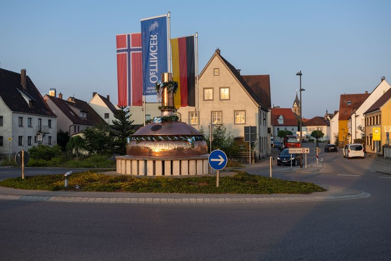
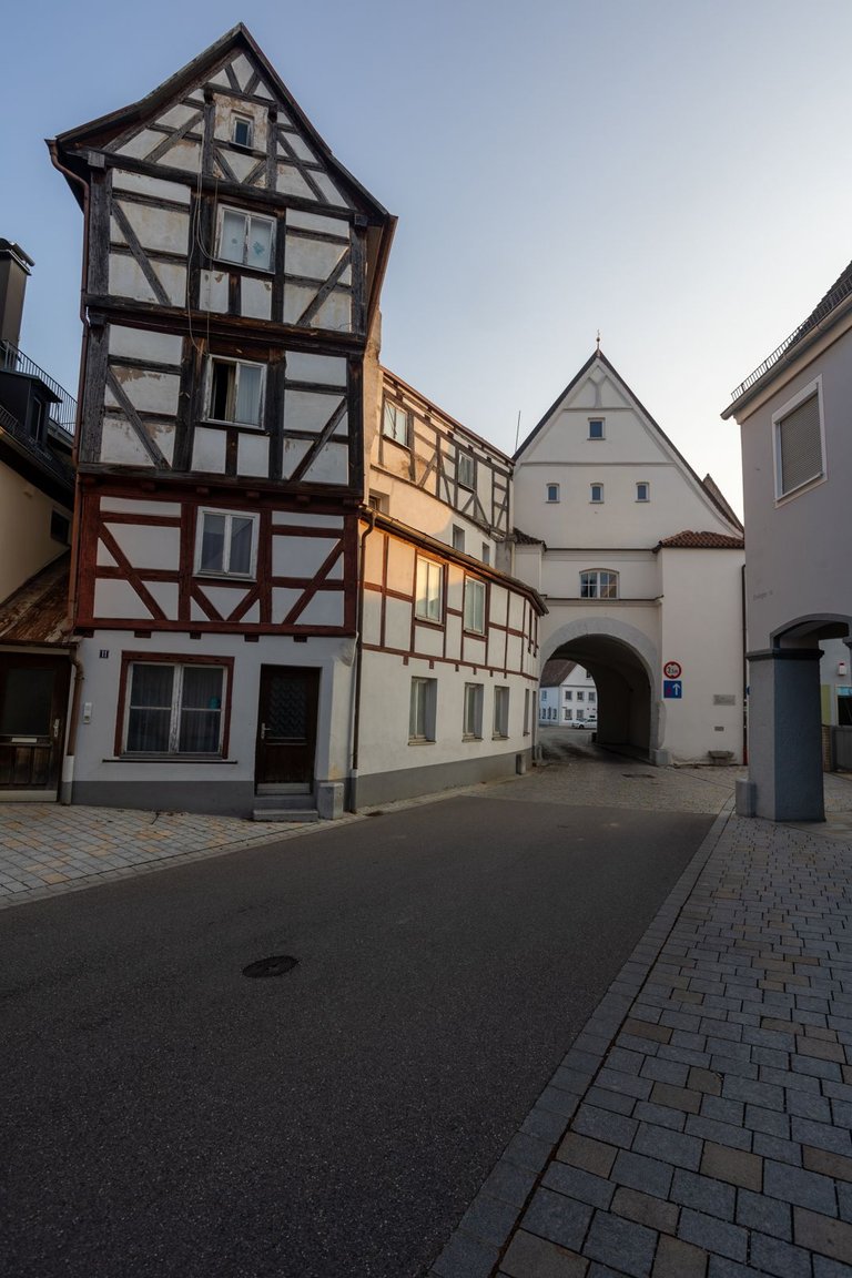
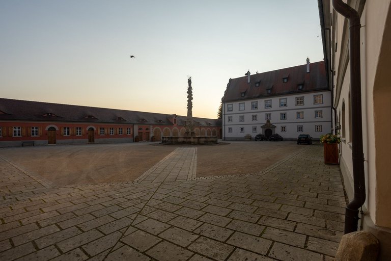
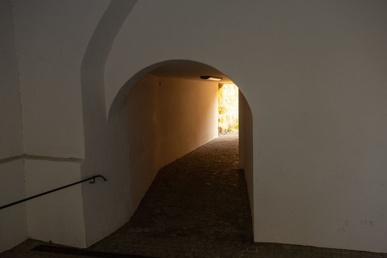
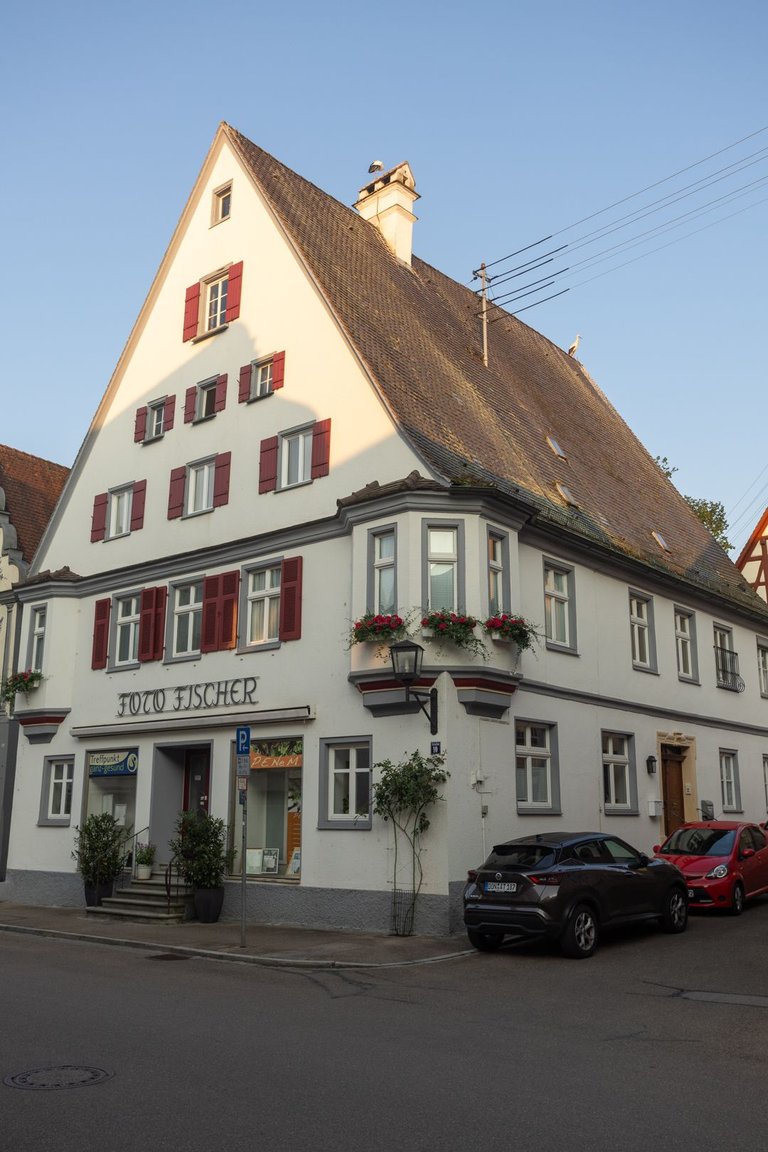
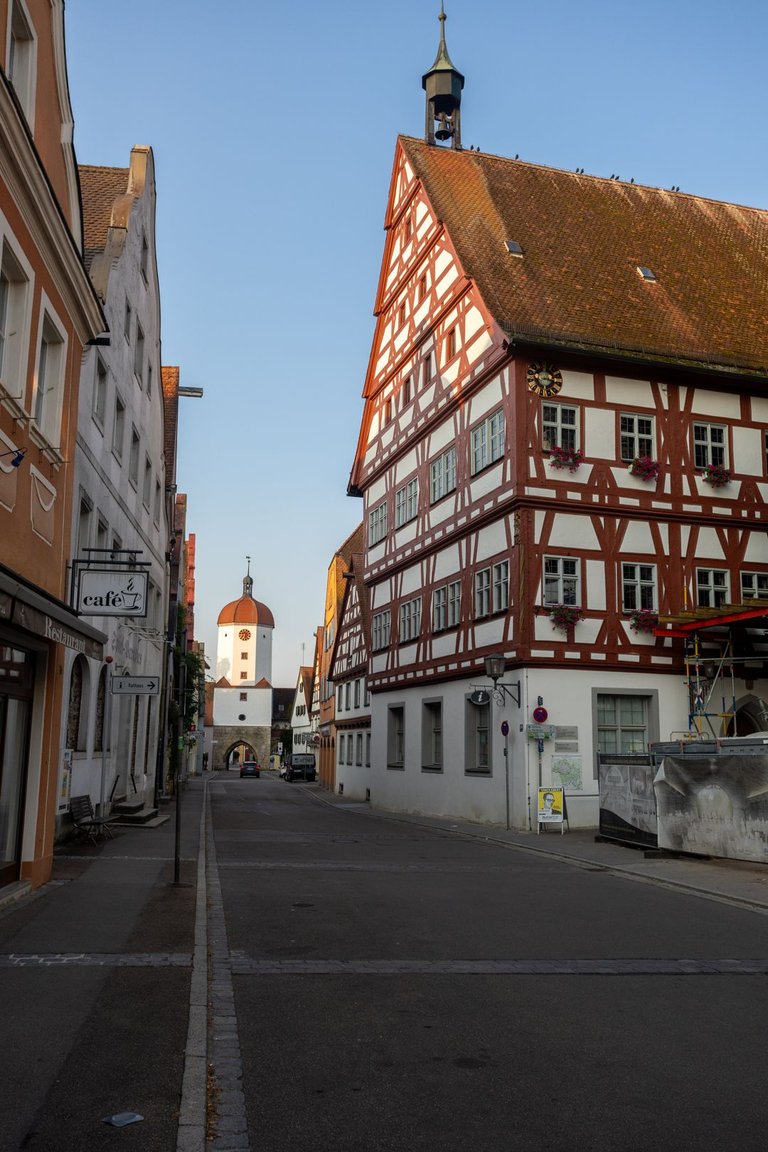
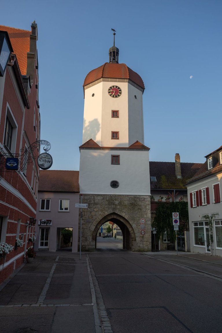
To enter the city of Oettingen in Bayern. I was first greeted by a roundabout, in the center of which was a copper vessel for brewing beer. So I knew what I had to taste in this city. The St. James trail took me through almost the entire historic center of the city. Including the castle, from which there is currently residential housing.
Abych vstoupil do města Oettingen in Bayern. Jako první mě přivítal kruhový objezd, uprostřed kterého byla měděná nádoba na vaření piva. Tak jsem věděl co musím v tomto městě ochutnat. Svatojakubská stezka mě protáhla skoro celým historickým centrem města. Včetně zámku, ze kterého je v současnosti rezidenční bydlení.
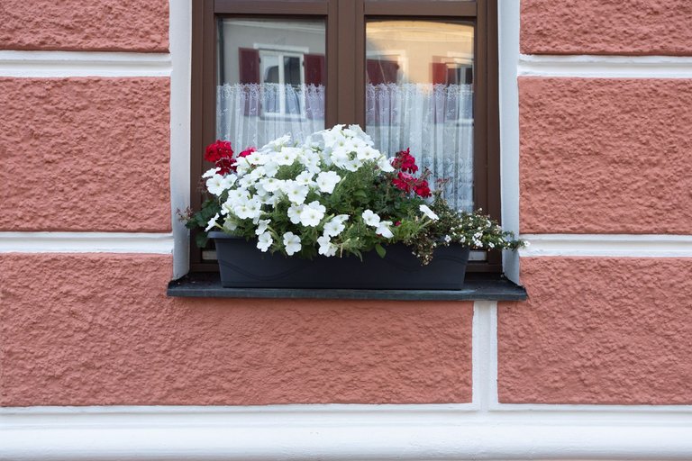
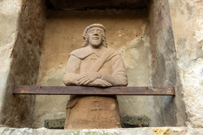
I then walked along the main street through the rest of the historic center. To head to the Rewe store.
Následně jsem po hlavní ulici prošel zbytkem historického centra. Abych zamířil k prodejně Rewe.
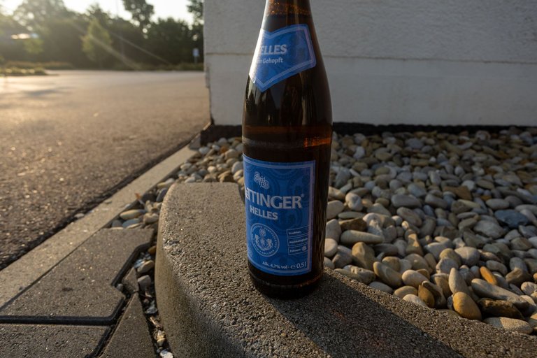
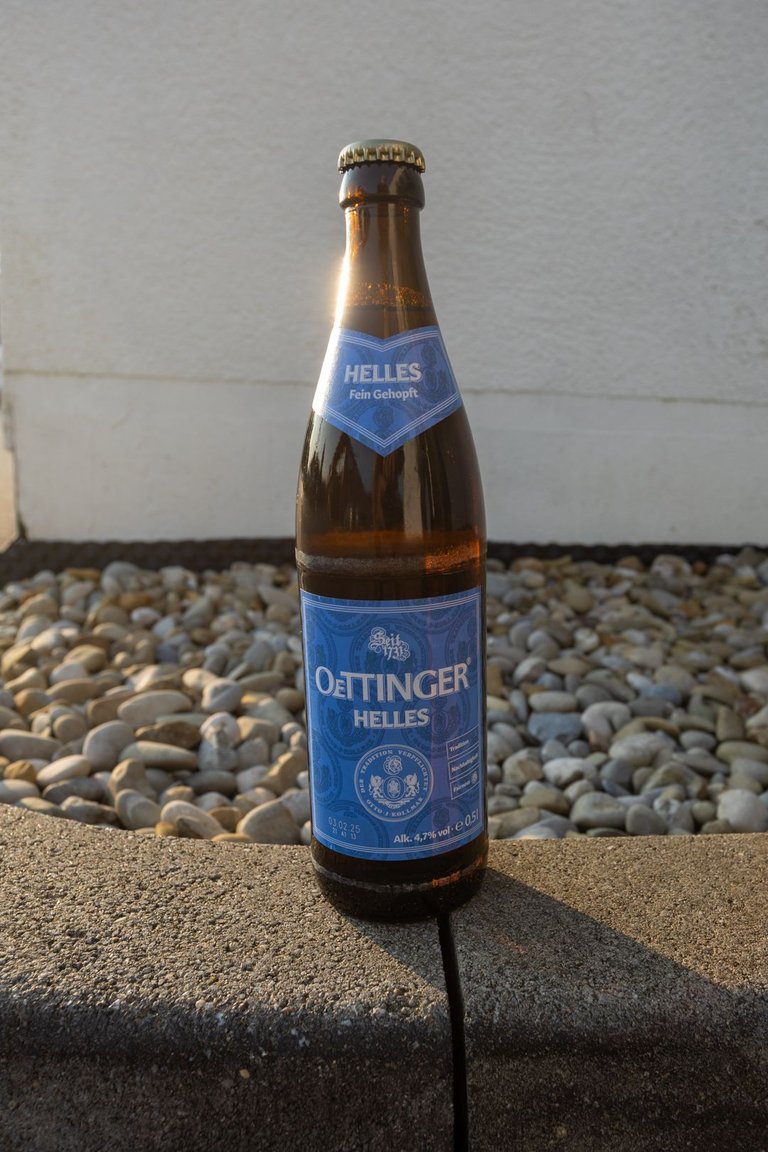
I had to wait a few minutes before the store opened, so I could buy mineral water and one tasting local beer.
Musel jsem si pár minut počkat než prodejna otevřela, abych mohl dokoupit minerální vodu a jedno ochutnávkové místní pivo.
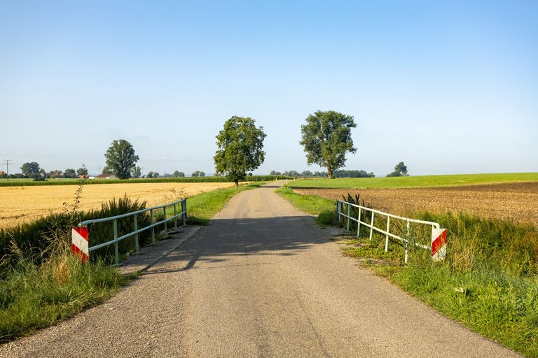
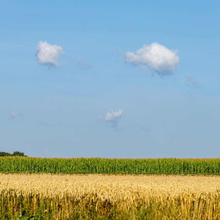
After that, I headed further into the Ries Crater. The entire crater is relatively flat. The depth is up to 200 meters and the diameter is just over 24 kilometers. The crater was caused by an asteroid about 1 kilometer in diameter. The place of impact was melted by the force of the impact and the limestone was transformed into green glass, which is called Vltavín and can be found at a distance of 250 kilometers in the territory of South Bohemia in the Czech Republic.
Poté jsem zamířil dále do Rieského kráteru. Celý kráter je poměrně rovný. Hloubka je až 200 metrů a průměr něco přes 24 kilometrů. Kráter způsobil asteroid o průměru asi 1 kilometr. Místo dopadu bylo silou nárazu roztaveno a vápenec byl přeměněn na zelené sklo, jemuž se říká Vltavín a je možné ho nalézt ve vzdálenosti 250 kilometrů na území Jižních Čech v České republice.
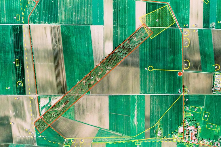
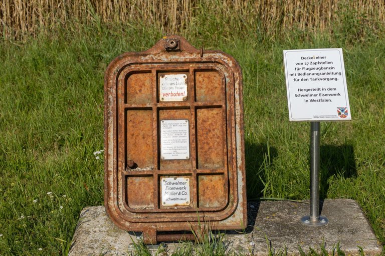
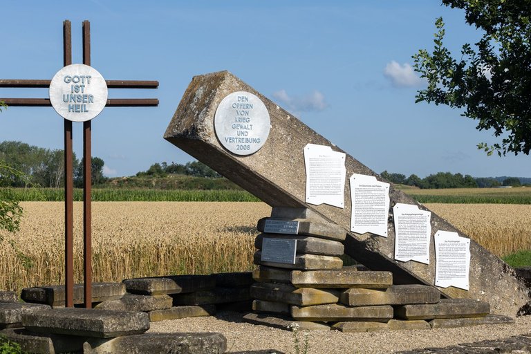
Approximately in the middle was a military airport during the Second World War. Today, the airport area is wooded, which is one of the few places where you can hide in the shade in the crater.
Přibližně uprostřed bylo za druhé světové války vojenské letiště. Dnes je letištní plocha zalesněná, což je jedno z mála míst kde se lze v kráteru schovat do stínu.
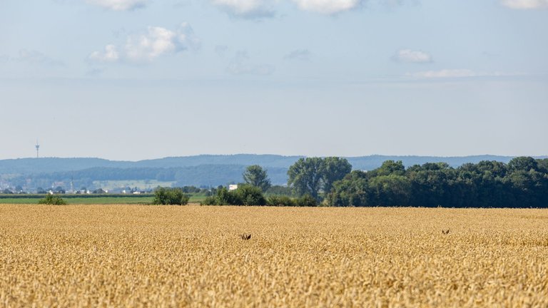
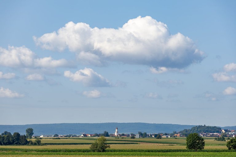
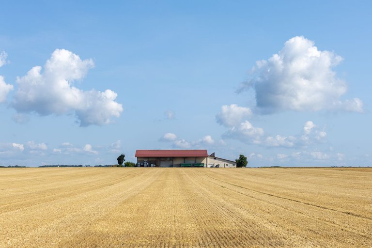
In addition, it was quite hot that day, so every shade was quite suitable. At times I felt like I was in the North American Plains. Hot, dry and just fields everywhere.
Toho dne navíc bylo dost horko a tak se každý stín docela hodil. Místy jsem si připadal jako bych byl v Severoamerických pláních. Vedro, sucho a všude jen pole.
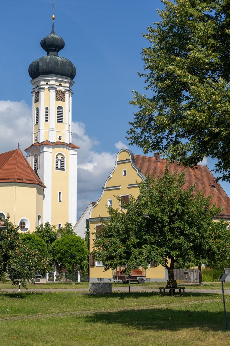
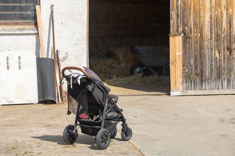

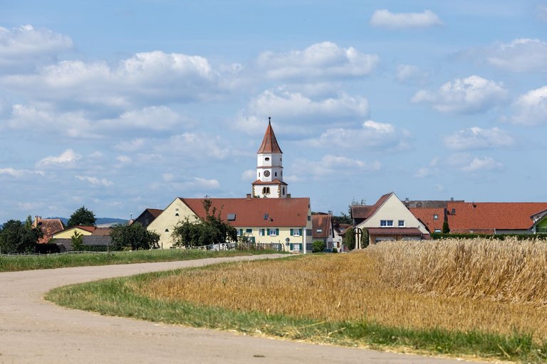
Only the villages around the trail always brought me back to the reality that I was in Bavaria.
Jen vesničky kolem stezky mě vždy vrátili do reality, že se nacházím v Bavorsku.
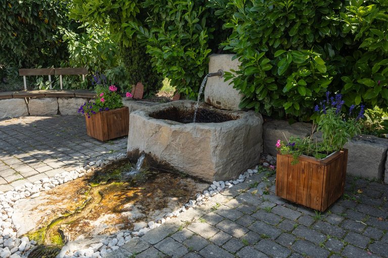
Considering the heat that prevailed that day, I happily refreshed myself in every fountain I came across. Again, the water was not potable, but soaking the shirt definitely helped on the way to the next village.
Vzhledem k vedru, který ten den panovalo jsem se s radostí osvěžoval v každé fontánce na kterou jsem narazil. Voda nebyla opět pitná, ale namočení trika rozhodně pomohlo na cestě k další vesnici.
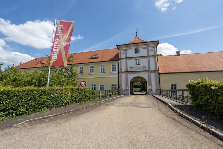
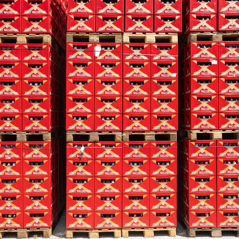
In the town of Wallerstein I planned to go for a cold beer and have something for lunch. Unfortunately, as before, I was not lucky enough to find an open restaurant. So I at least visited the brewery to quench my thirst at least with a look.
V městečku Wallerstein jsem měl v plánu zajít na studené pivo a dát si něco k obědu. Bohužel jako doposud jsem neměl štěstí na otevřenou restauraci. Tak jsem alespoň zavítal do pivovaru, abych zahnal žízeň alespoň pohledem.
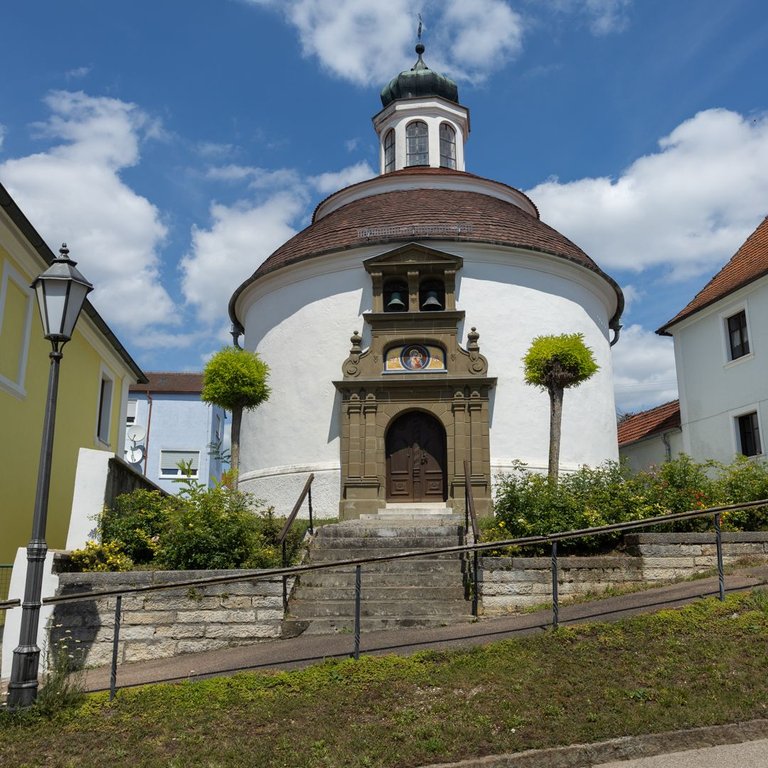
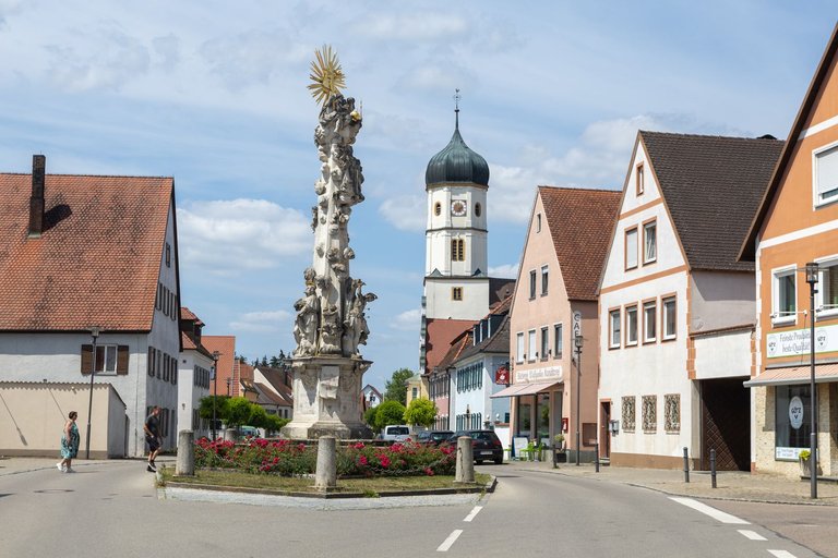
I passed the sights and continued on towards Nördlingen.
Prošel jsem kolem památek a pokračoval dále směrem na Nördlingen.
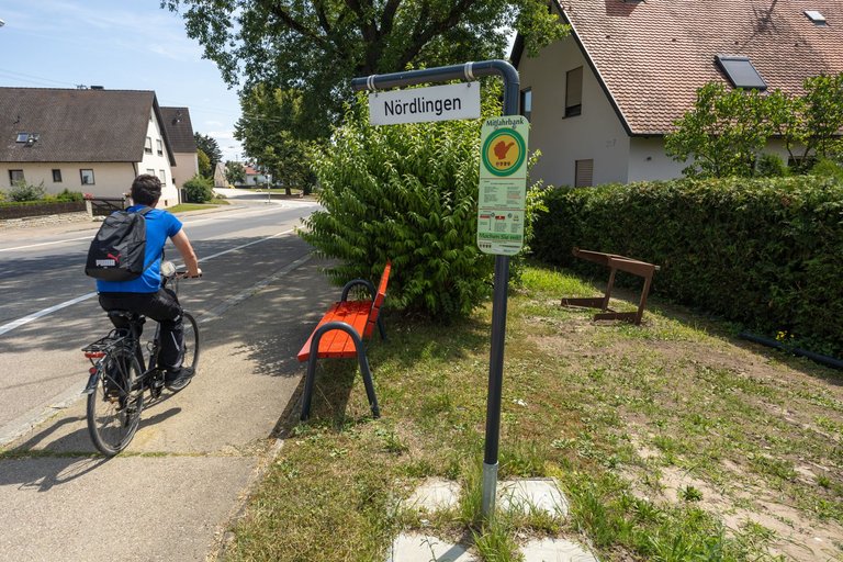
It is possible to get to the city from the surrounding villages by official hitchhiking, by bus or, like me, on foot.
Do města je možné se dostat z okolních vesnic oficiálním autostopem, autobusem a nebo jako já pěšky.
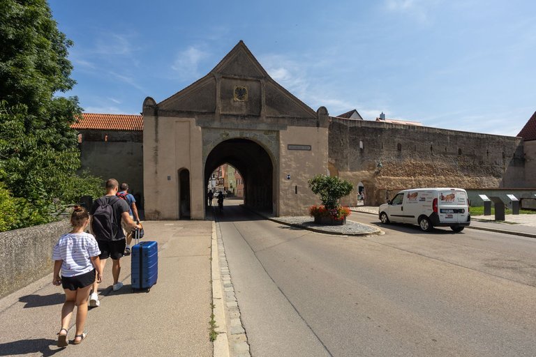
However, before entering the historic city, I had to go to the local Kaufland to stock up on food for the next few days and, above all, to buy a cold drink. Because I was a bit toasty from the crater crossing.
Než jsem ovšem vstoupil do historického města musel jsem zajít do místního Kauflandu, abych doplnil zásoby potravin na další dny a hlavně si koupil studené pití. Protože z přechodu kráteru jsem byl poněkud připečený.
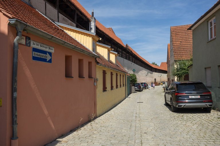
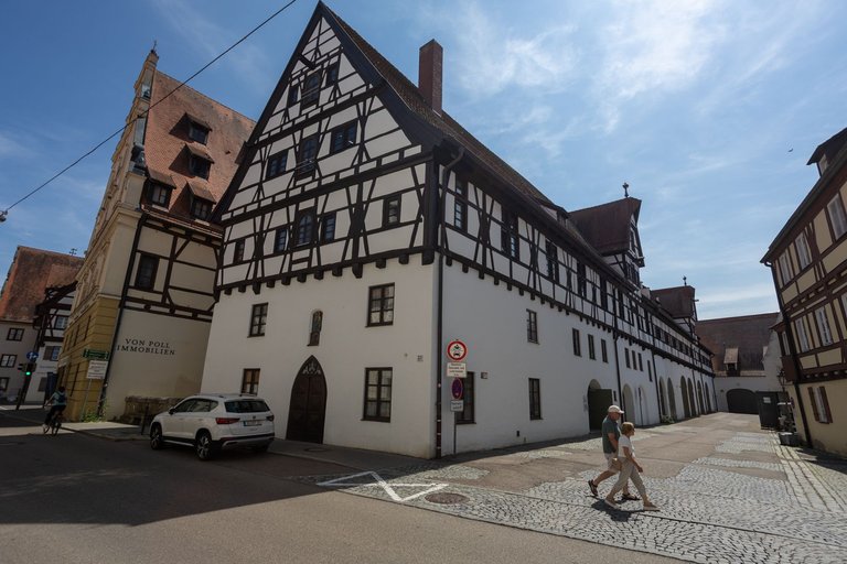
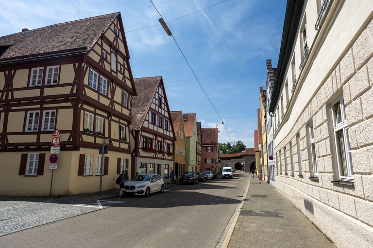
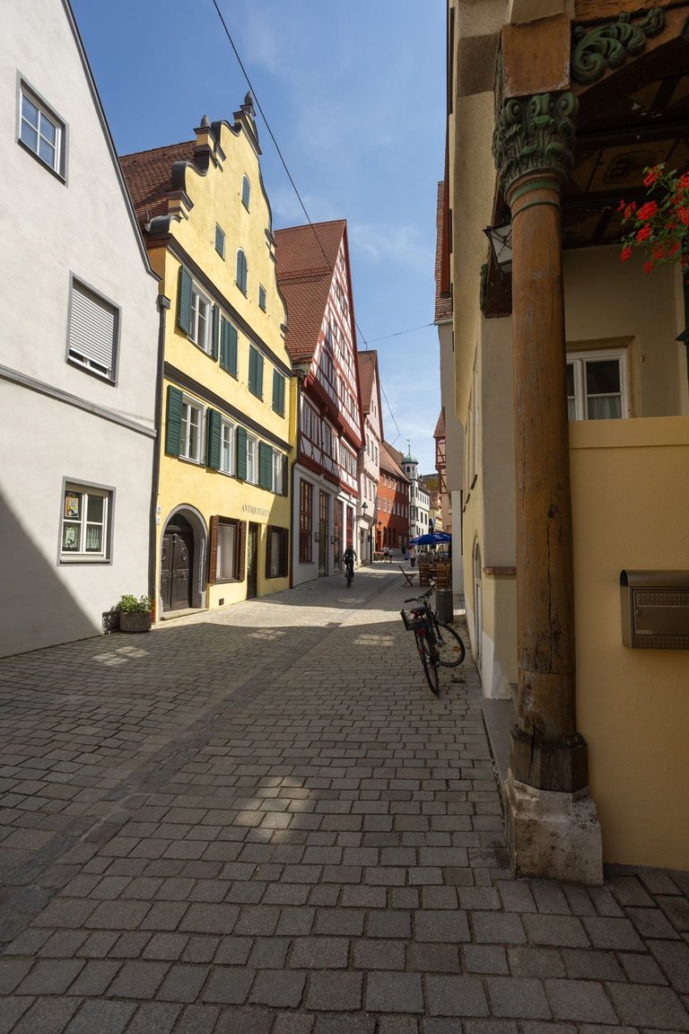
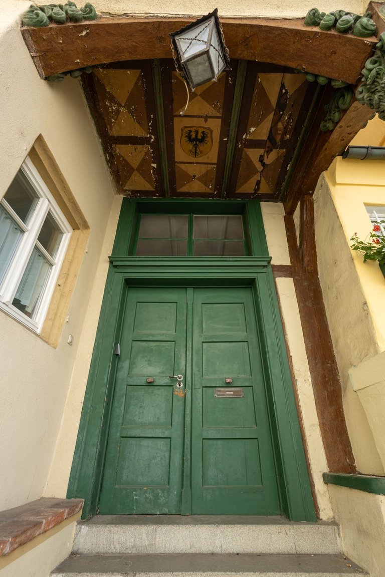
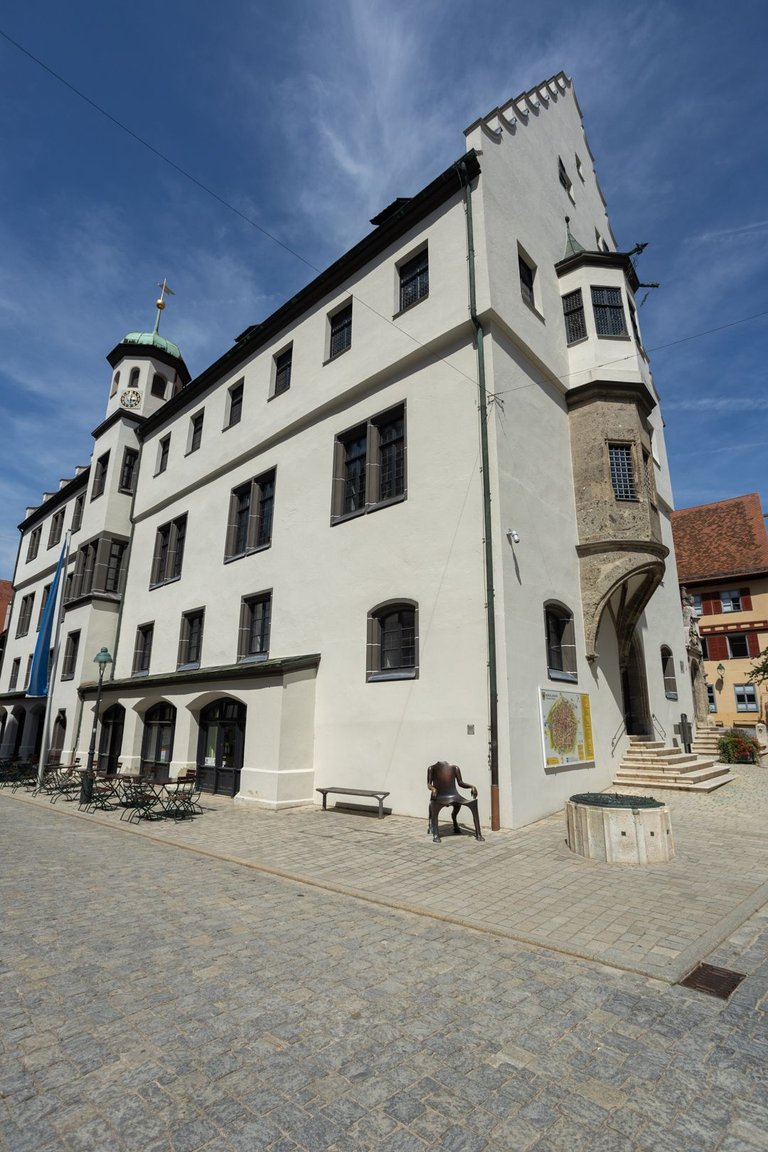
Nördlingen is a medieval town surrounded by walls that form a circle. In the historic center, you won't find many buildings that have been rebuilt, so the city has preserved its historical character throughout the area.
Nördlingen je středověké městečko obehnané hradbami, jež tvoří kruh. V historickém středu nenajdete mnoho budov, které by byly přestavěny a tak si město zachovalo historický ráz na celém území.
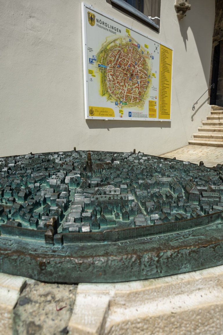
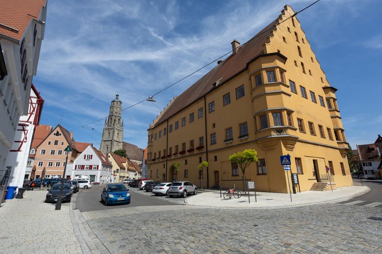
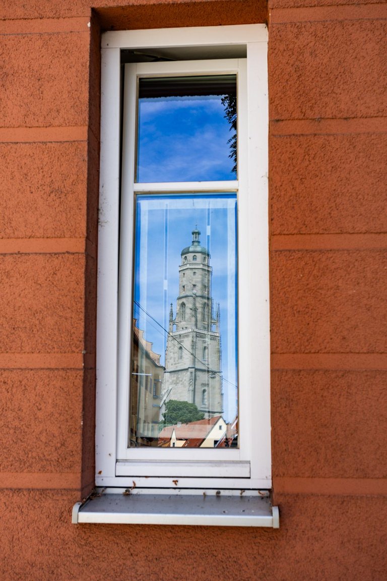
Even here I was not successful in finding a restaurant or pub where I could have a cold beer. The only ones open were a Chinese bistro, an Indian restaurant, an Arabic bistro and a few cafes. I don't know what happened to Bavaria, but this seems pretty sad to me.
Ani zde jsem nebyl úspěšný s nalezením restaurace či pivnice kde bych si mohl dá studené pivo. Jediné co bylo otevřené bylo čínské bistro, indická restaurace, arabské bistro a několik kaváren. Nevím co se s Bavorskem stalo, ale toto mi přijde dost smutné.
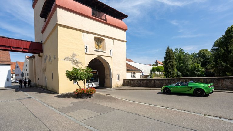
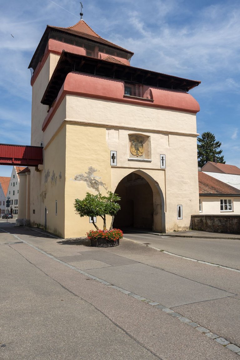
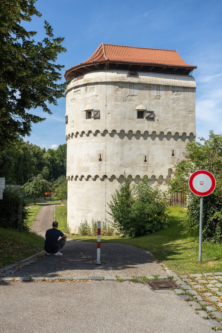
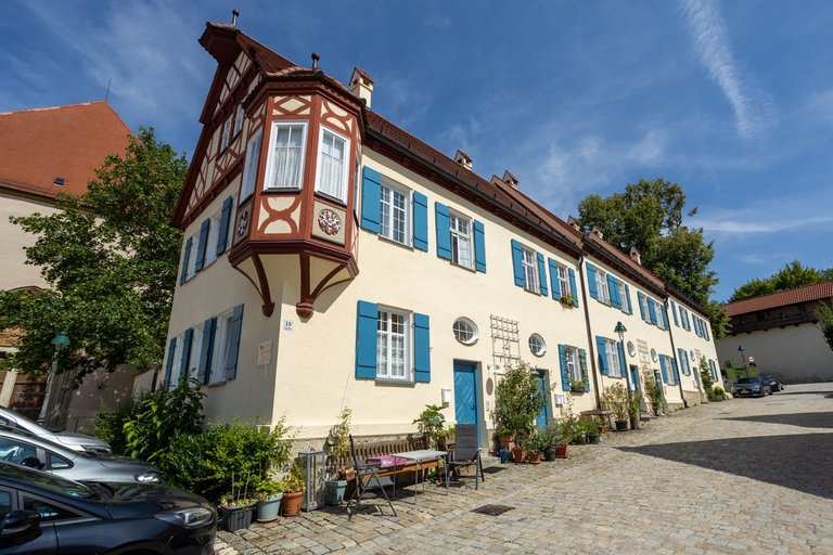
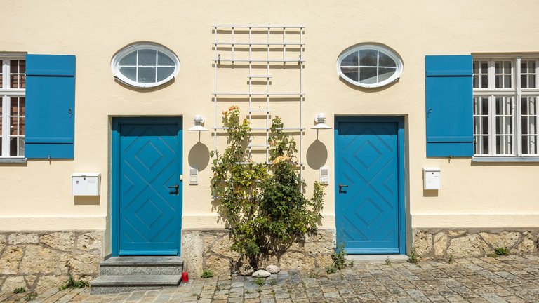
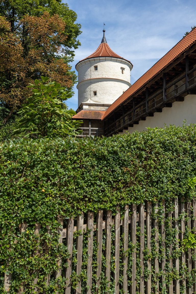
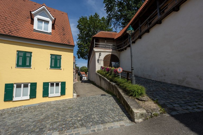
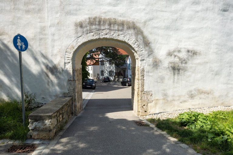
I therefore went to the southern part of the city where I visited several towers, a toilet and continued along the path of St. James.
Vydal jsem se proto do jižní části města kde jsem navštívil několik věží, toaletu a pokračoval dále po stezce Svatého Jakuba.
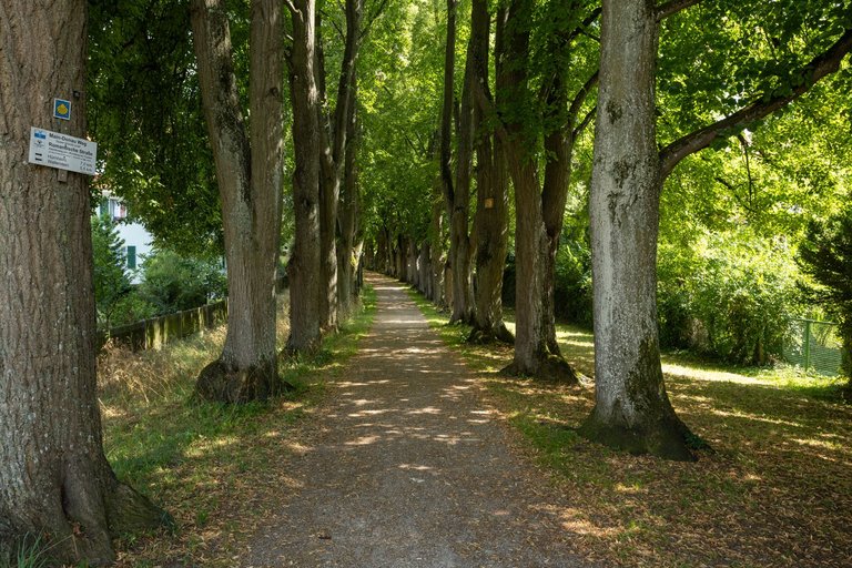
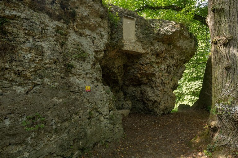
I continued through the linden alley to the city park where the Hexenfelsen formation stands on one of the peaks. Which is a huge cinder of limestone created by a meteorite impact.
Skrze s lipovou alej jsem pokračoval do městského parku kde na jednom z vrcholů stojí útvar Hexenfelsen. Což je obrovský škvarek vápence, který vznikl při dopadu meteoritu.
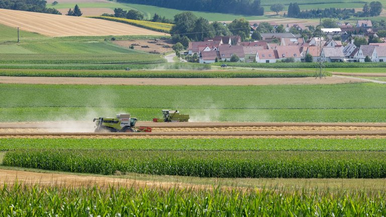
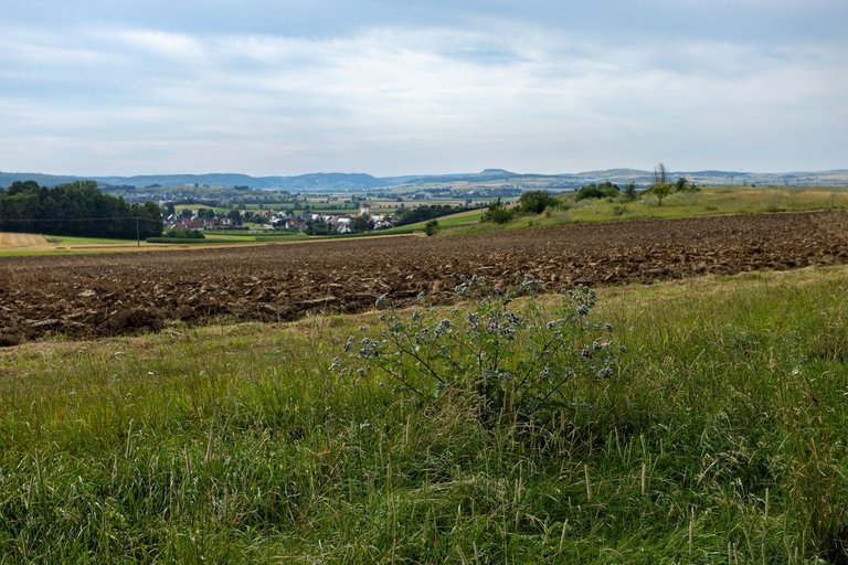
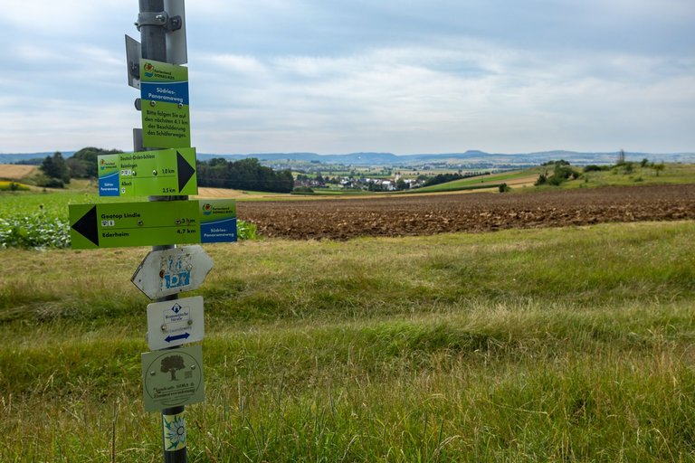
Because it was hot and dry. Farmers had enough to do, so combine harvesters and tractors raced across all the fields.
Protože bylo vedro a sucho. Zemědělci měli dost na pilno a tak se na všech polích proháněli kombajny a traktory.
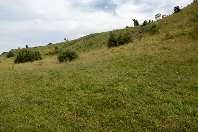
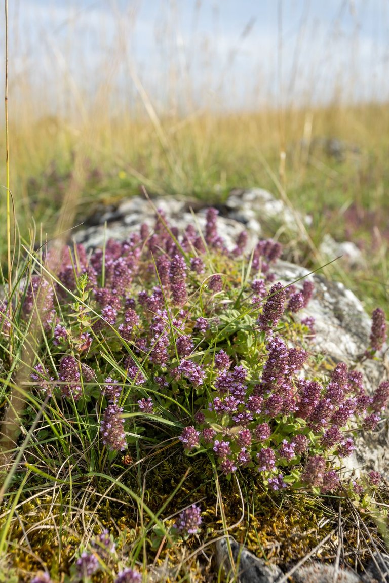
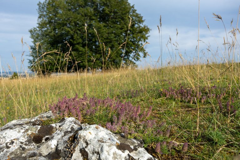
As I progressed further and further south. I slowly reached the limestone steppes with a typical plant composition. Heat-loving plants, the tallest of which were junipers.
Jak jsem postupoval stále více na jih. Pomalu jsem se dostával do vápencových stepí s typickou rostlinou skladbou. Teplomilné rostliny z nichž nejvyšší byly jalovce.
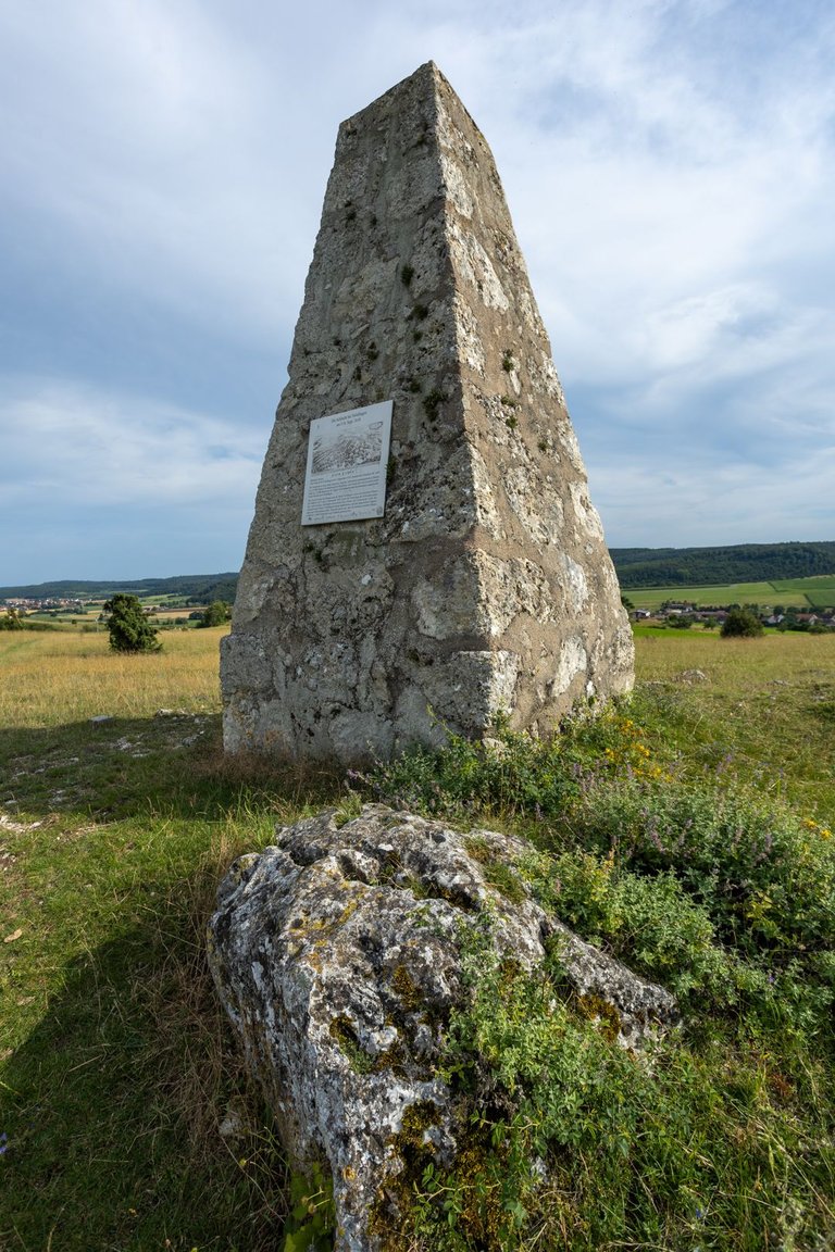
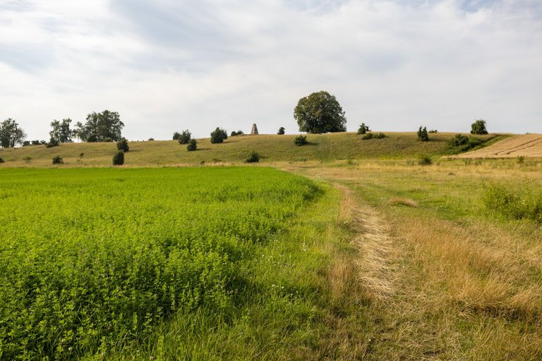
On top of Albuch (543m) I visited the monument to the battle of Nördlingen from 1634, when the Spanish army fought here with the Germans and the Swedes on the other side. The Spanish won here overwhelmingly and opened the road between Holland and Italy again.
Na vrcholu Albuch (543m) jsem navštívil památník bitvy o Nördlingen z roku 1634 kdy se zde utkala Španělská armáda s Němci a Švédy na straně druhé. Španělé zde drtivě zvítězili a znovu tak otevřely cestu mezi Holandskem a Itálií.
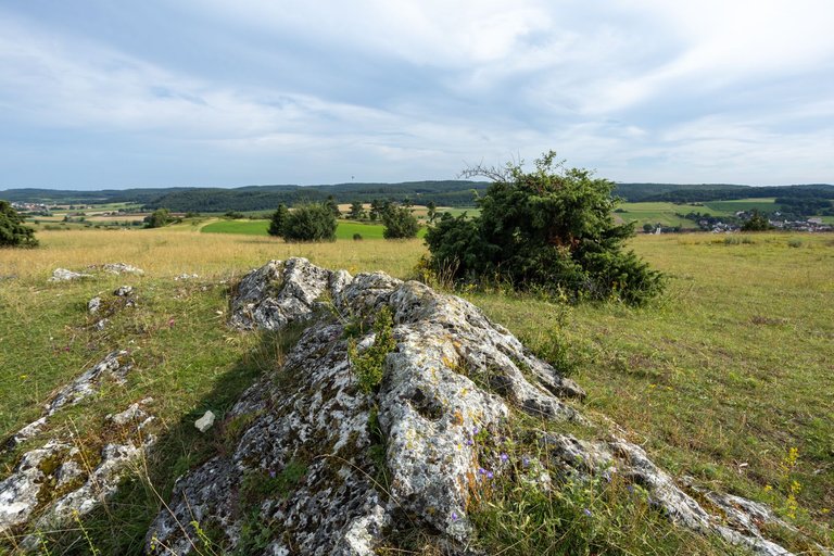
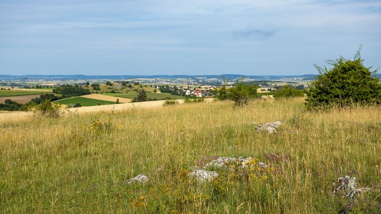
There is also a wonderful view of the surroundings from the top.
Z vrcholu je také nádherný výhled do okolí.
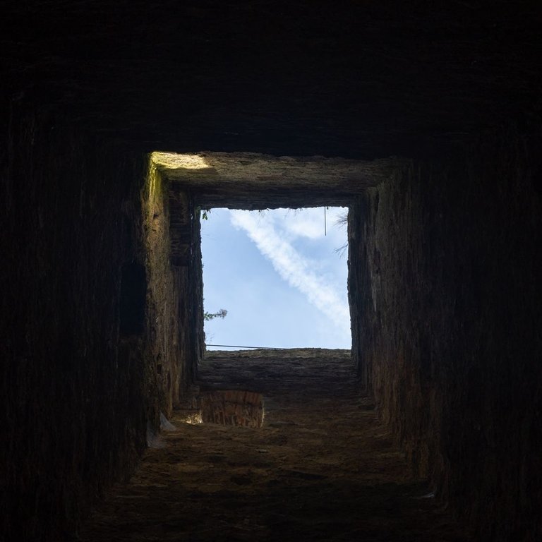
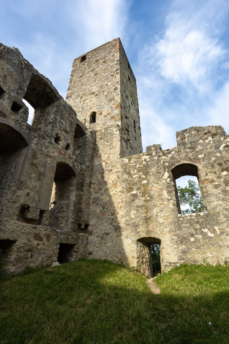
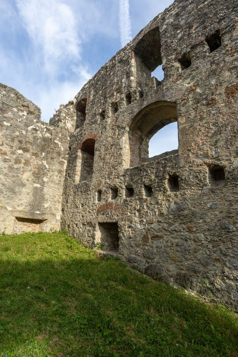
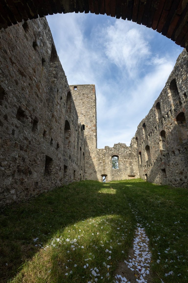
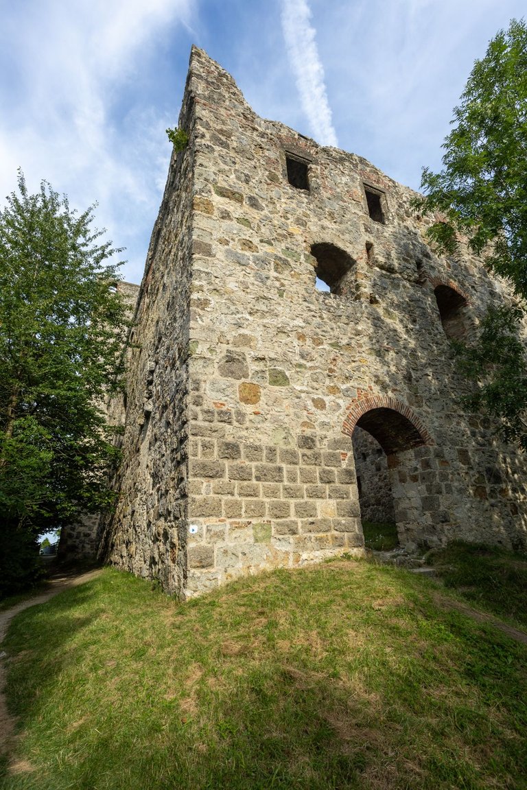
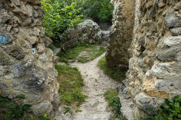
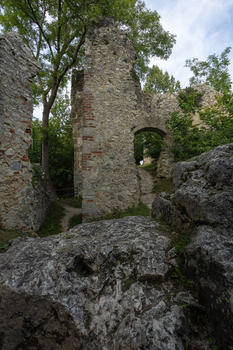
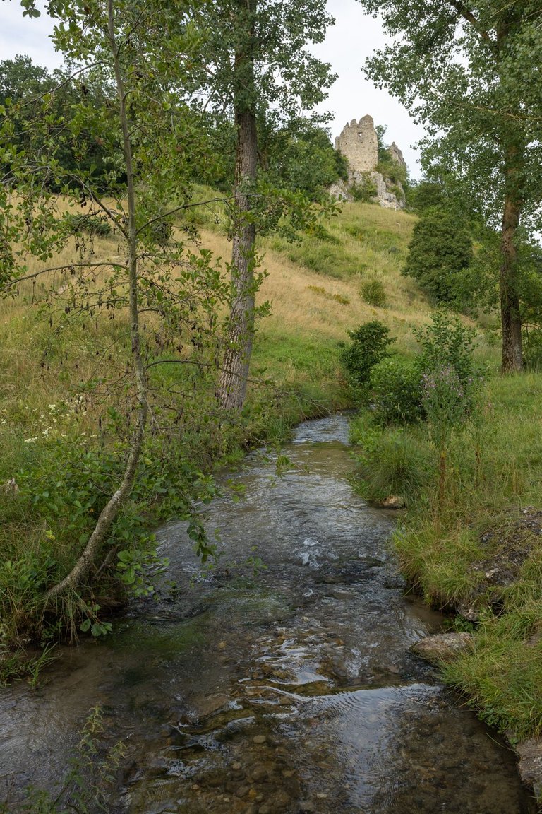
The ruins of the Niederhaus castle lie on a hill across the valley, through which a path leads, so there is no need to turn anywhere. Only in places the path is somewhat more difficult through limestone stones.
Přes údolí leží na kopci zřícenina hradu Niederhaus skrz který vede stezka a tak není třeba nikam odbočovat. Jen je místy cesta poněkud náročnější přes vápencové kameny.
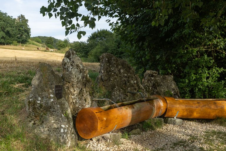
There is also a well with drinking water near the castle. Unfortunately, I made a mistake and refilled only one bottle, saying that according to the map there will be another one. But she wasn't.
Nedaleko hradu je také studánka s pitnou vodou. Bohužel jsem udělal chybu a doplnil pouze jednu lahev s tím, že podle mapy dále bude další. Ale nebyla.
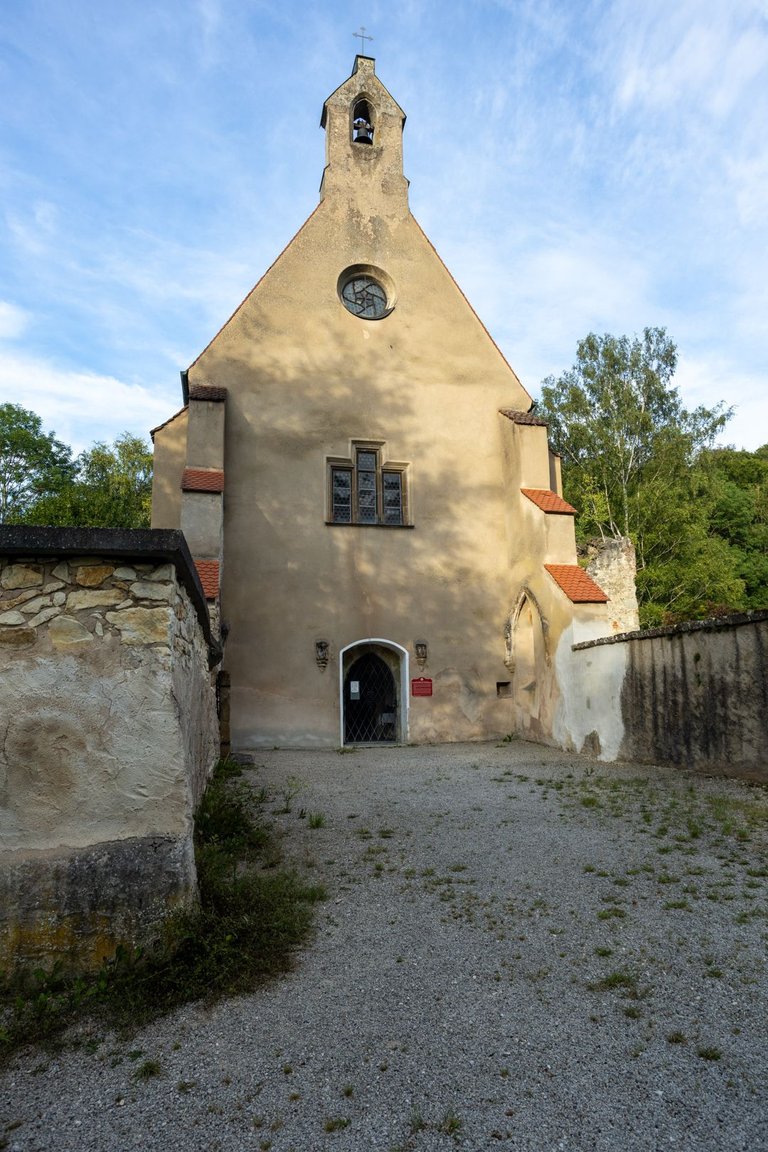
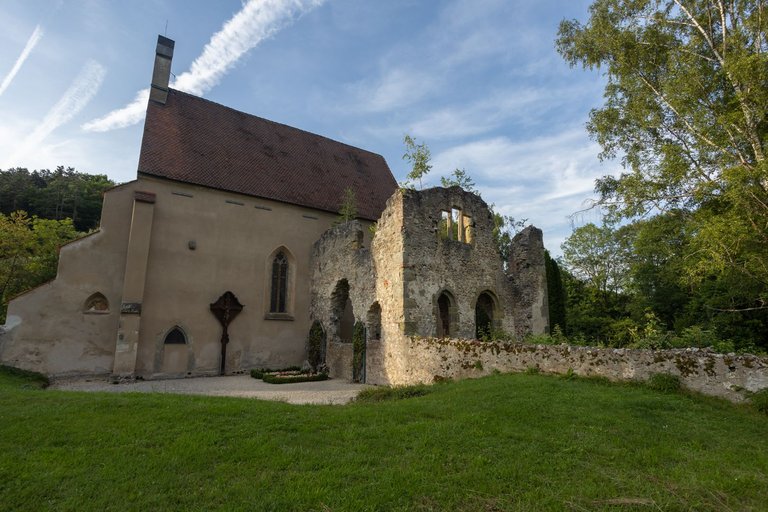
The last interesting place I visited that day was the Christgarten monastery church. I wanted to spend the night here, but there were so many mosquitoes and horseflies that I decided to continue further from the water to the Hungerberghöhle cave.
Poslední zajímavé místo co jsem ten den navštívil byl klášterní kostel Christgarten. Chtěl jsem zde strávit noc, ale bylo zde takové množství komárů a ovádů, že jsem se rozhodl pokračovat dále od vody až k jeskyni Hungerberghöhle.
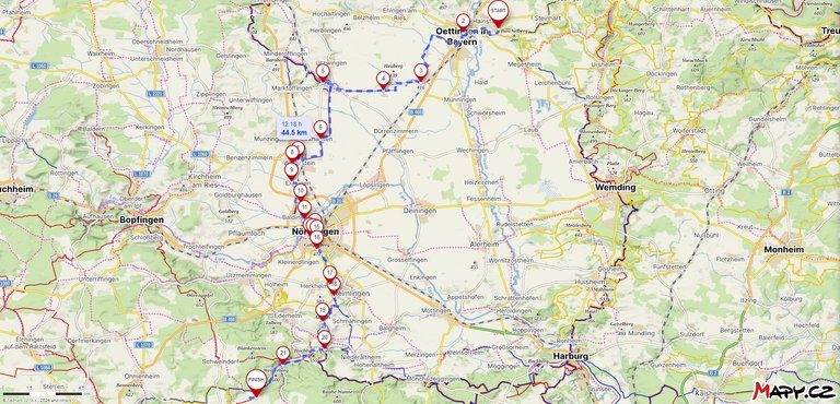
Route from Hainsfarth to Hungerberghöhle - link to Mapy.cz
| Kilometers walked | Meters Up | Meters Down |
|---|---|---|
| 570.8 Km | 9038 meters | 8689 meters |
Jan Hus Trail - Prague (CZ) / Day 1 - part 1
Jan Hus Trail - Prague (CZ) / Day 1 - part 2
Jan Hus Trail - Prague to Beroun (CZ) / Day 2
Jan Hus Trail - Beroun to Skryjská jezírka (CZ) / Day 3
Jan Hus Trail - Skryjská jezírka to Kralovice (CZ) / Day 4
Jan Hus Trail - Kralovice to Rabštejn nad Střelou (CZ) / Day 5
Jan Hus Trail - Rabštejn nad Střelou to Konstantinovy Lázně (CZ) / Day 6
Jan Hus Trail - Konstantinovy Lázně to Tachov (CZ) / Day 7
Jan Hus Trail - Tachov (CZ) - Plößberg (GER) / Day 8
Jan Hus Trail - Plößberg - Kohlberg (GER) / Day 9
Jan Hus Trail - Kohlberg - Högen (GER) / Day 10
Jan Hus Trail - Högen - Eichelberg (339m) (GER) / Day 11
Jan Hus Trail - Eichelberg (339m) - Nurnberg Hbf (GER) / Day 12
Jan Hus Trail / Jakobsweg - Nurnberg Hbf - Schwabach (GER) / Day 12 and half
Jan Hus Trail / Jakobsweg - Schwabach - Brombach (GER) / Day 13
Jan Hus Trail / Jakobsweg - From Brombach to Hainsfarth (GER) / Day 14

Congratulations, your post has been added to WorldMapPin! 🎉
Did you know you have your own profile map?
And every post has their own map too!
Want to have your post on the map too?
Hiya, @ybanezkim26 here, just swinging by to let you know that this post made it into our Top 3 in Travel Digest #2291.
Your post has been manually curated by the @worldmappin team. If you like what we're doing, please drop by to check out all the rest of today's great posts and consider supporting other authors like yourself and us so we can keep the project going!
Become part of our travel community:
Congratulations @softa! You have completed the following achievement on the Hive blockchain And have been rewarded with New badge(s)
Your next target is to reach 38000 upvotes.
You can view your badges on your board and compare yourself to others in the Ranking
If you no longer want to receive notifications, reply to this comment with the word
STOP