Welcome to the last part of my micro-series about travels in East Moravia. In the last part I reached the White Carpathians where I spent the night near the peak of Mikulčin vrch (799m). In today's continuation we will hike further through the White Carpathians. Where we will visit several peaks and walk through the wild Carpathian nature.
Vítejte u posledního dílu mojí mikrosérie z cest po východní Moravě. V posledním díle jsem se dostal do Bílých Karpat kde jsem i přenocoval nedaleko vrcholu Mikulčin vrch (799m). V dnešním pokračování budeme pokračovat dále skrze Bílé Karpaty. Kde navštívíme několik vrcholů a projdeme divokou Karpatskou přírodou.
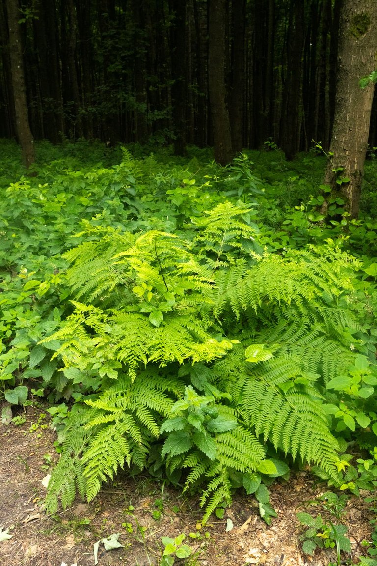
On the last day, I was woken up by a light rain just before sunrise. But I have to admit, I didn't want getting out of my sleeping bag after the previous hard day. When I finally forced myself. I started planning where I would refill water, which was starting to run out. Fortunately, there was a stream in Lopenické sedlo (Lopenik pass), so I refilled water there and started climbing to the first peak of the day.
Do posledního dne mě probudil lehoučký déšť těsně před východem slunce. Ale musím se přiznat, vůbec se mi po předchozím náročném dni nechtělo ze spacáku. Když jsem se konečně přinutil. Začal jsem plánovat kde doplním vodu, která mi začala docházet. Naštěstí v Lopenickém sedle pramenil potok a tak jsem vodu doplnil právě tam. A poté začal stoupat na první vrchol dne.
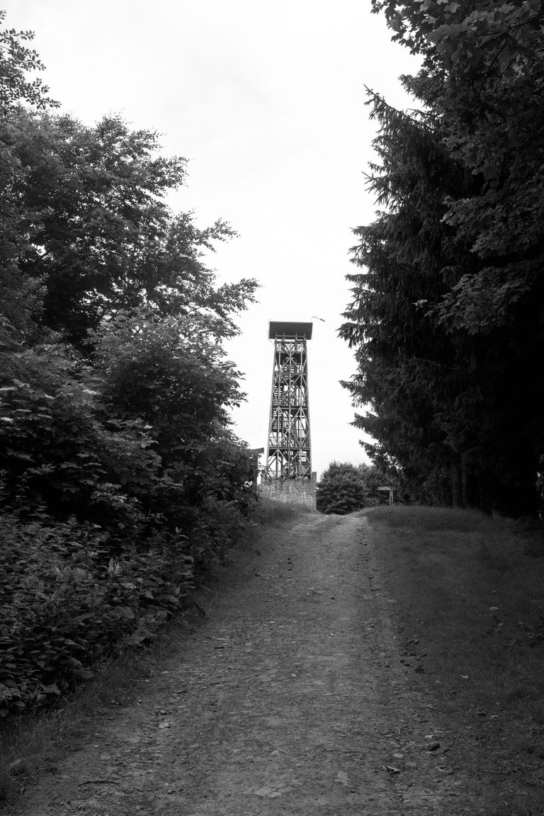
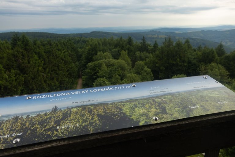
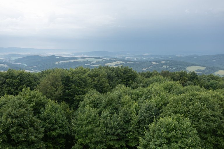
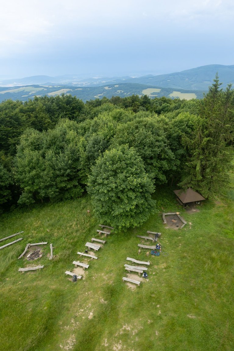
The peak is called Velký Lopeník and the highest point is located at an altitude of 911 meters above sea level. There is also a lookout tower on the top, which offers a view of the surrounding area. The peak is also a frequent refuge for tourists for the night, as there are several shelters on both the Czech and Slovak side of the peak. At the time of my visit, one cyclist and one hiker were staying here.
Vrchol se jmenuje Velký Lopeník a nejvyšší bod leží ve výšce 911 metrů nad mořem. Na vrcholu stojí také rozhledna, díky které je výhled do širého okolí. Vrchol je také častým útočištěm turistů na noc, protože je zde několik přístřešků. Jak na České straně vrcholu tak i na té Slovenské. V době mojí návštěvy zde nocoval jeden cyklista a jeden pěší turista.
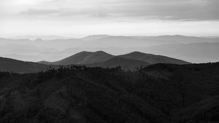
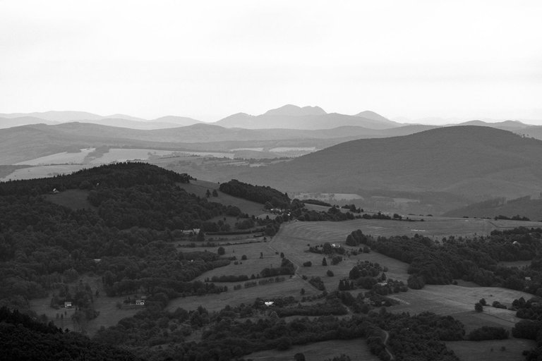
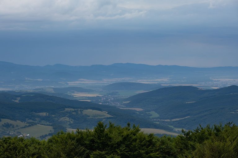
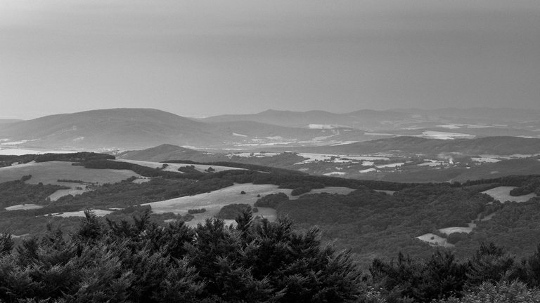
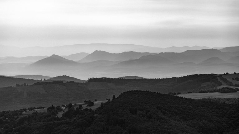
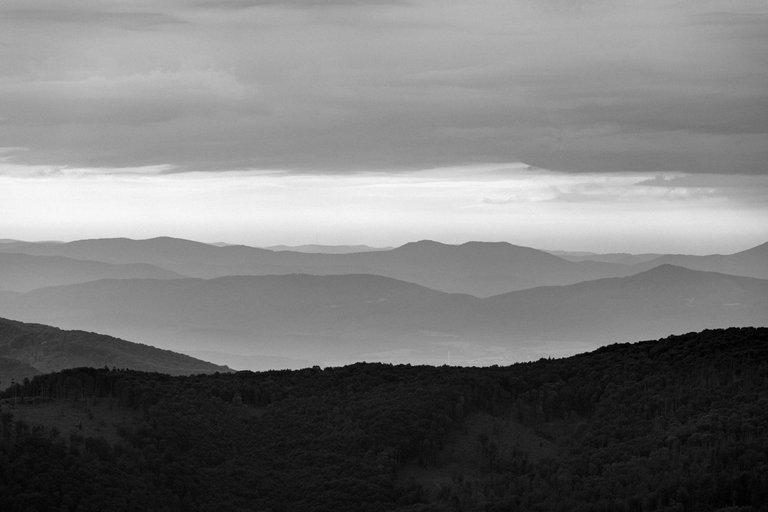
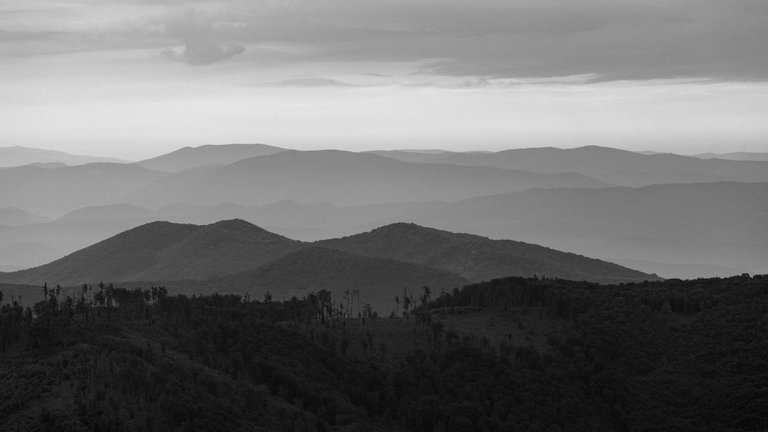
The weather wasn't exactly conducive to epic shots, but I still managed to capture a few that I'm happy with.
Počasí nebylo zrovna přívětivé pro epické snímky. Ale i tak se mi podařilo zachytit několik, se kterými jsem spokojen.
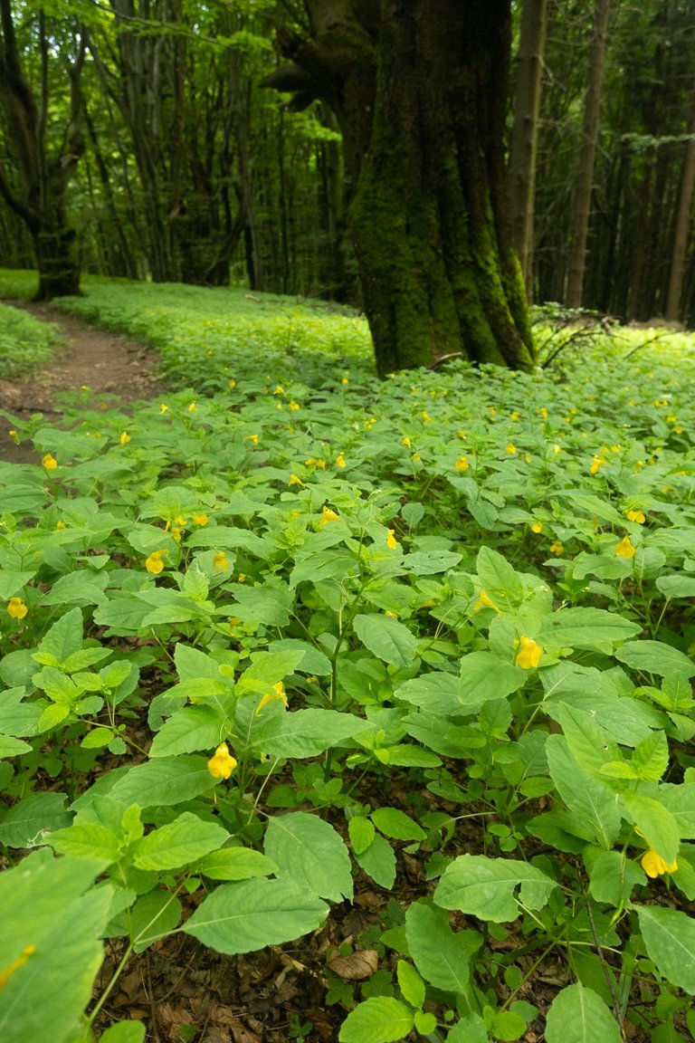
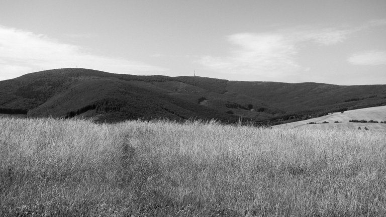
As soon as I left the peak and started descending through the magical forest. A light rain started. Which made the way down the steep hill quite unpleasant. It was even worse when I had to walk through a meadow with tall grass. So I was completely wet. After overcoming these obstacles, I started climbing to the next ridge. On the way, I replenished my water in Janáček's spring, where ferric acid water flowed. And as soon as I reached the top of Nová hora (522m). The weather started to improve quickly.
Jakmile jsem opustil vrchol a začal klesat magickým lesem. Spustil se jemný déšť. Který dost znepříjemňoval cestu z prudkého kopce. Ještě horší to bylo, když jsem musel projít loukou s vysokou trávou. Takže jsem byl kompletně promočený. Po překonání těchto překážek jsem začal opět stoupat na další hřeben. Cestou jsem doplnil vodu v Janáčkově prameni, kde vytékala železitá kyselka. A jakmile jsem se dostal na vrchol Nová hory (522m). Počasí se začalo rychle zlepšovat.
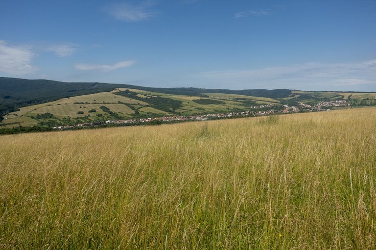
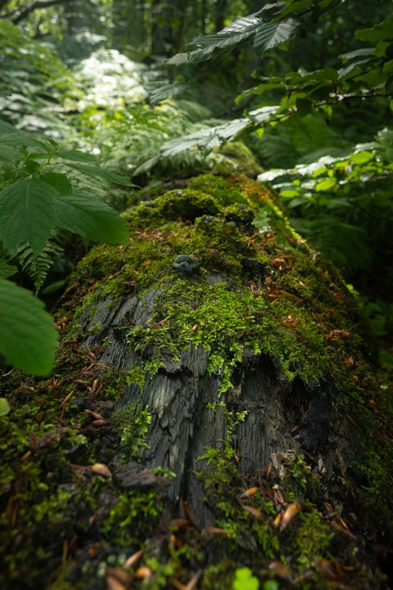
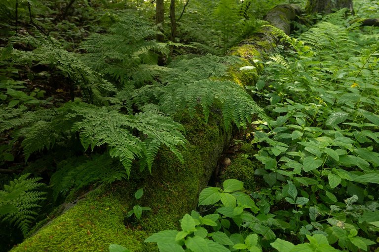
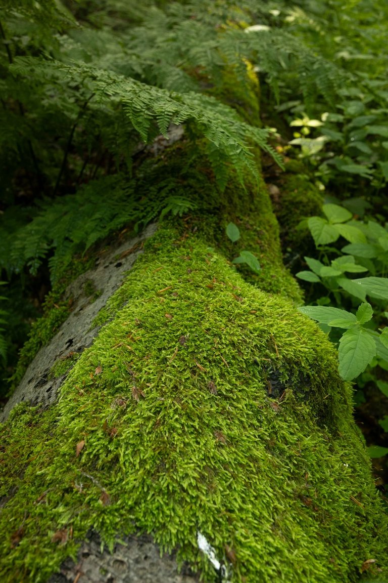
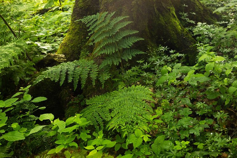
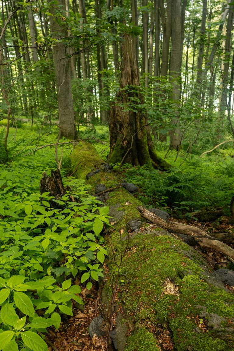
From Nová Hora I continued again into the valley to the village of Květná, where I did some shopping at the local supermarket and continued to the next peak. Which is the highest peak of the White Carpathians. Velká Javořina, as this peak is called, is 970 meters high and from Květná I had the steepest climb of this trip. From Květná, which is 380 meters above sea level, it is 590 meters of elevation gain to the peak over 5.5 kilometers. Of course, the steepest climb is right at the beginning of the journey. As soon as I got to the Velká Javořina nature reserve, I forgot about the climb and started enjoying the beautiful primeval forest that lies at the top.
Z Nové hory jsem pokračoval opět do údolí kde leží vesnice Květná. Zde jsem si nakoupil v místní samoobsluze a pokračoval za dalším vrcholem, který je nejvyšším vrcholem Bílých Karpat. Velká Javořina jak se tento vrchol jmenuje měří 970 metrů a z Květné mě čekalo nejprudší stoupání tohoto výletu. Z Květné která leží ve 380 metrech nad mořem to je na vrchol 590 metrů převýšení na 5.5 kilometrech. Samozřejmě nejprudší stoupání je hned na začátku cesty. Jakmile jsem se ale dostal do přírodní rezervace Velká Javořina, na stoupání jsem zapomněl a začal si užívat nádherného pralesa, který na vrcholu leží.
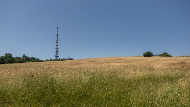
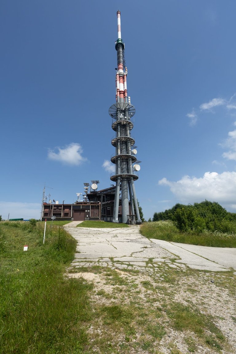
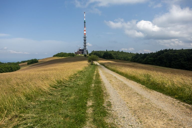
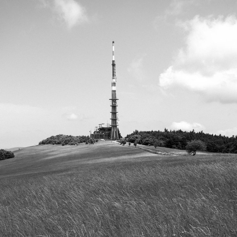
There are several interesting places on the summit. One is Holuby's cottage, which is on the Slovak side of the summit. Unfortunately, I didn't have any Euros with me, so I couldn't refresh myself with a cold beer, because it got hot during my ascent. Another interesting place is the television transmitter, which is 135 meters high and thus dominates the summit.
Na vrcholu je několik zajímavostí. Jedním je Holubyho chata, která je na Slovenské straně vrcholu. Bohužel jsem sebou neměl žádná Eura a tak jsem se nemohl občerstvit studeným pivem, jelikož se během mého výstupu udělalo dost teplo. další zajímavostí je televizní vysílač, který je vysoký 135 metrů a tím tvoří dominantu vrcholu.
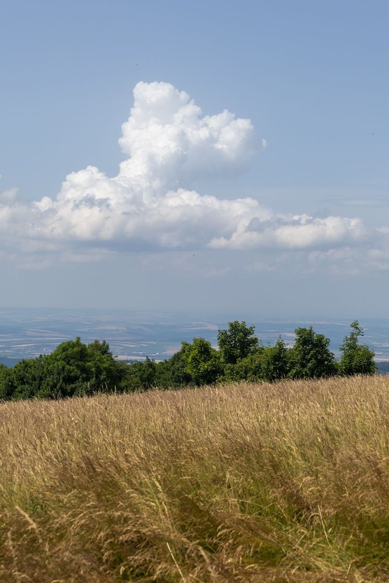
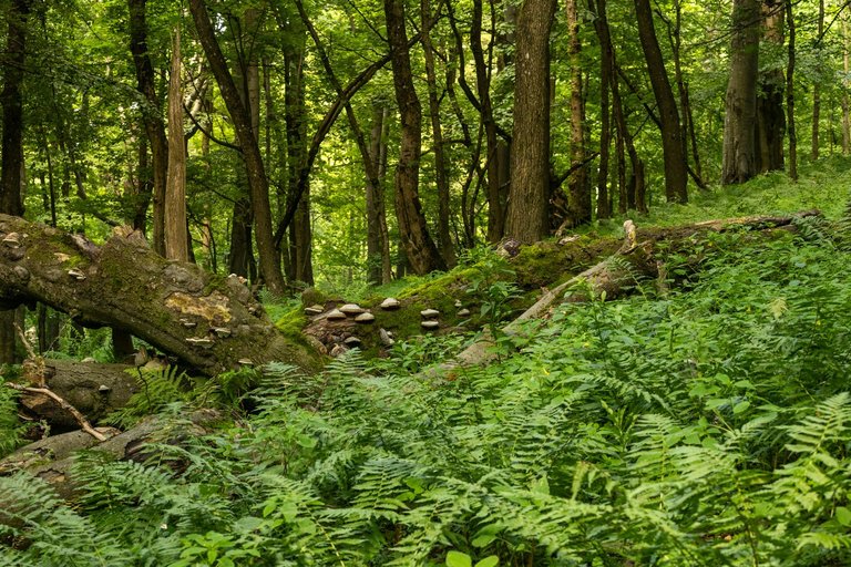
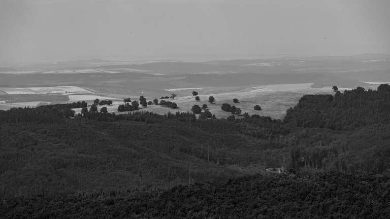
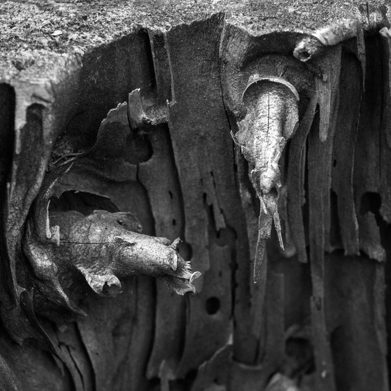

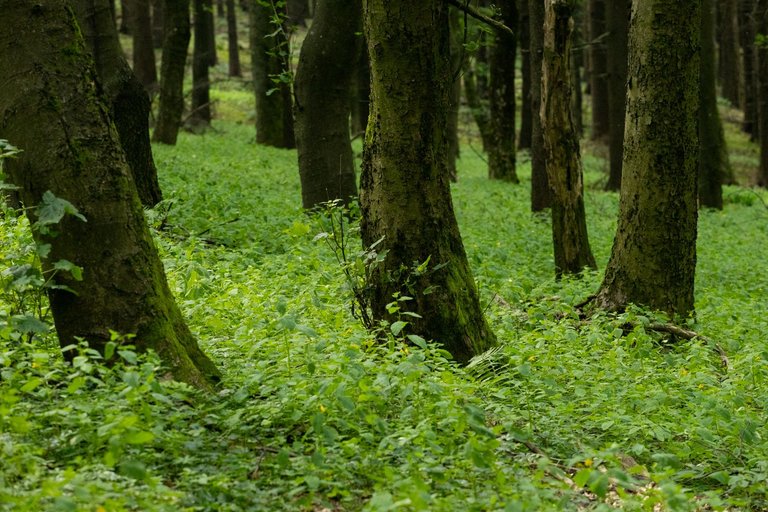
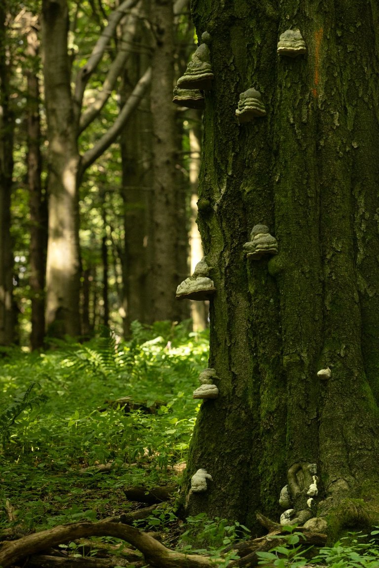
I continued along the ridge where the border between the Czech Republic and Slovakia runs. In places there is a primeval forest. Sometimes you can see the surrounding area and there are also several monuments from the Second World War, because one of the largest air battles over the territory of Czechoslovakia took place over this mountain range.
Dále jsem pokračoval po hřebeni kde vede i hranice mezi Česko republikou a Slovenskem. Místy je zde les pralesního typu. Občas se objeví výhled do okolí. A je zde i několik památníků z druhé světové války, protože se nad tímto pohořím udála jedna z největších leteckých bitev nad územím Československa.
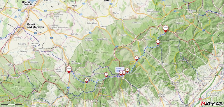
The original plan was to walk all the way to the town of Hodonín, but when I got an internet signal I found out that the weather was going to get worse and there were going to be strong storms. So I decided to shorten the journey to a village called Javorník. Halfway through it started to rain so hard that I didn't even have time to put on waterproof clothes. So I walked about 6 kilometers in just a T-shirt and shorts through the heavy rain. At least I washed myself a little.
Původní plán byl dojít až do města Hodonín, ale když jsem se dostal na signál internetu zjistil jsem, že se počasí bude kazit a mají přijít silné bouřky. Rozhodl jsem se tedy cestu zkrátit do vesnice jménem Javorník. Na půli cesty začalo silně pršet, že jsem se nestihl ani obléknout do nepromokavých věcí. Takže jsem šel asi 6 kilometrů jen v triku a kraťasech hustým deštěm. Alespoň jsem se trochu umyl.
In Javorník I was waiting for a train that unexpectedly arrived from the Slovak side of the border and took me one station to Velká nad Veličkou. But my next connection did not arrive here because several trees had fallen on the track due to heavy rain. So I had to wait for a replacement bus connection that arrived in about an hour and a half. This meant I missed all the connections towards Brno and subsequently Prague. Finally, I managed to get to Prague at 3 am, so 13 hours after I got on the train. Therefore, I must say that this area is the most difficult to access from Prague in the entire Czech Republic that I have had the opportunity to travel.
V Javorníku jsem čekal na vlak, který nečekaně přijel ze Slovenské strany hranice a dovezl mě jednu stanici do Velké nad Veličkou. Ale sem můj další přípoj nedorazil, protože díky silnému dešti na trať spadlo několik stromů. Takže jsem musel čekat na náhradní autobusový spoj, který přijel asi za hodinu a půl. Tím jsem nestihl všechny přípoje směrem na Brno a následně i Prahu. Nakonec se mi podařilo do Prahy dostat ve 3 hodiny ráno, takže po celých 13 hodinách co jsem nastoupil do vlaku. Proto musím konstatovat, že tato oblast je z Prahy nejhůře dostupná v celé České republice co jsem měl možnost cestovat.
A beautiful place with such beautiful natural beauty ♥️
You can check out this post and your own profile on the map. Be part of the Worldmappin Community and join our Discord Channel to get in touch with other travelers, ask questions or just be updated on our latest features.
Congratulations @softa! You have completed the following achievement on the Hive blockchain And have been rewarded with New badge(s)
Your next target is to reach 48000 upvotes.
You can view your badges on your board and compare yourself to others in the Ranking
If you no longer want to receive notifications, reply to this comment with the word
STOPCheck out our last posts: