Welcome everyone to another multi-day trek that I hike this summer. This time I set off from Davle in Central Bohemia to the final destination in a town called Úterý in the Pilsen region. Where did I go at the time, when I was still competing in amateur hillclimbing car races. The races in Úterý were always the peak of the season. And every year I set off earlier and earlier before the race. And since the town is called Úterý (Thursday in translation), my plan was to set off on Tuesday and get there on Friday evening. Let's see where I actually went on this trip.
Vítejte všichni u dalšího několikadenního treku, který jsem podnikl v létě letošního roku. Tentrokrát jsem se vydal z Davle ve Středních Čechách do cílové destinace v městečku jménem Úterý v Plzeňském kraji. Kam jsem často jezdil, když jsem ještě závodil amatérsky v automobilových závodech do vrchu. Závody v Úterý byli vždy vrcholem sezóny. A každý rok jsem tam vyráželi dříve a dříve před závodem. A podle toho jak se město jmenuje. Byl můj plán vyrazit v úterý a na místo se dostat v pátek večer. Pojďme se podívat kudy jsem vlastně na této cestě prošel.
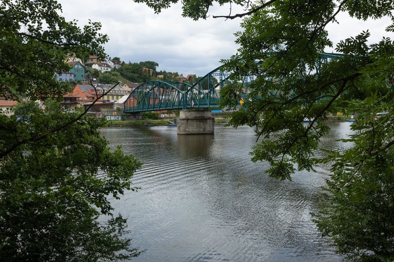
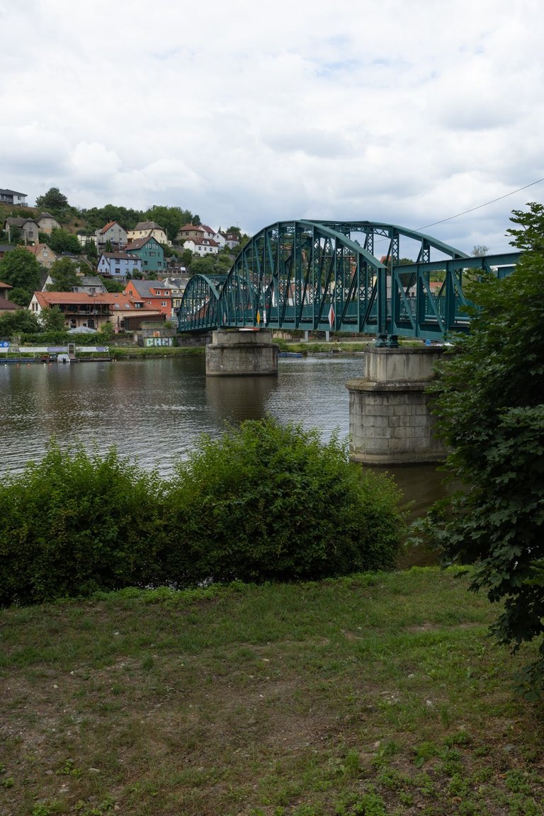
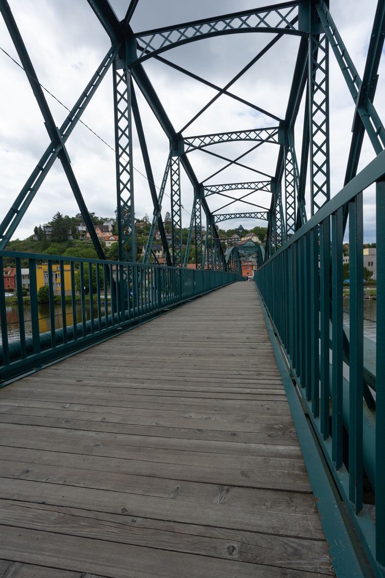
I took the train from Prague to the starting position in Davle. Right at the train station I met the first point that I had to overcome. The old steel bridge, which starred in the American film The Bridge at Remagen from 1969.
Z Prahy do startovní pozice v Davli jsem se dostal vlakem. Hned u nádraží mě potkal první bod, který jsem musel překonat. Tím byl starý ocelový most, který si zahrál v americkém filmu Most u Remagenu z roku 1969.
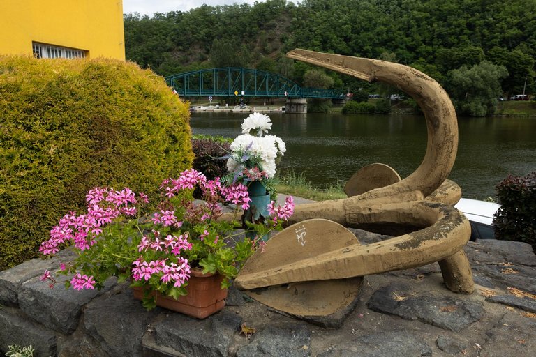
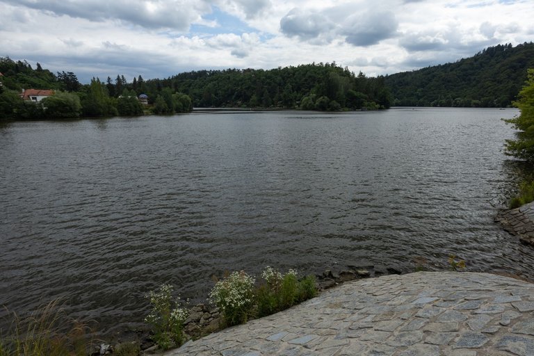
Most of the village of Davle is located on the banks of the Vltava River, so there are plenty of places with a view of the river. Most of the time at this hike I was walking along the Via Czechia - Central trail, which crosses the Czech Republic in the middle. So I knew there would be no shortage of interesting places like the nearby confluence of the Vltava and Sázava rivers.
Většina obce Davle leží na břehu řeky Vltavy a tak je zde i dost míst odkud je výhled na řeku. Většinu času na tomto treku jsem se pohyboval po stezce Via Czechia - centrální, která protíná Českou republiku středem. A tak jsem věděl, že nebude nouze o zajímavá místa jako byl nedaleký soutok řek Vltavy a Sázavy.
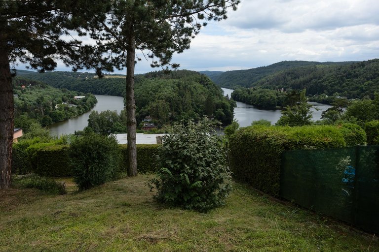
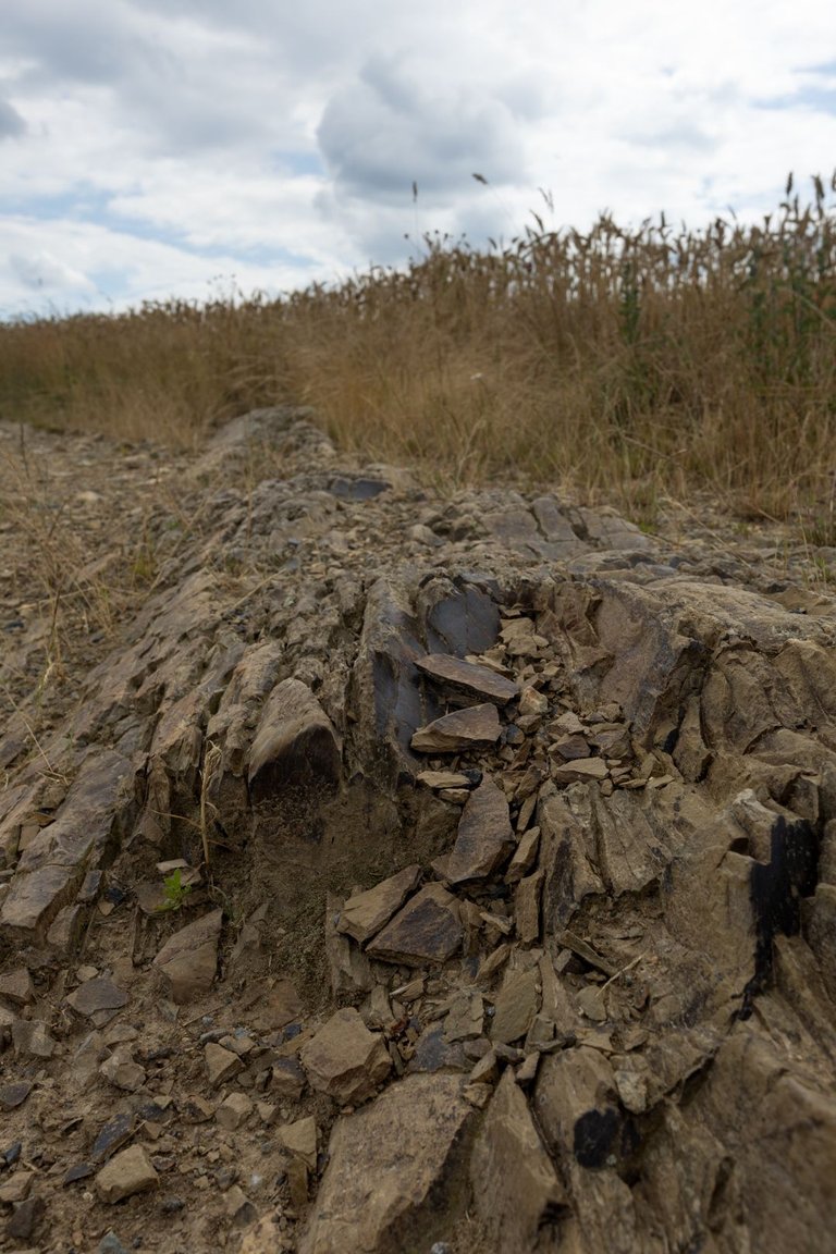
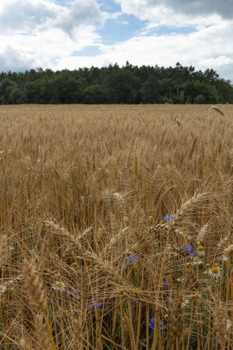
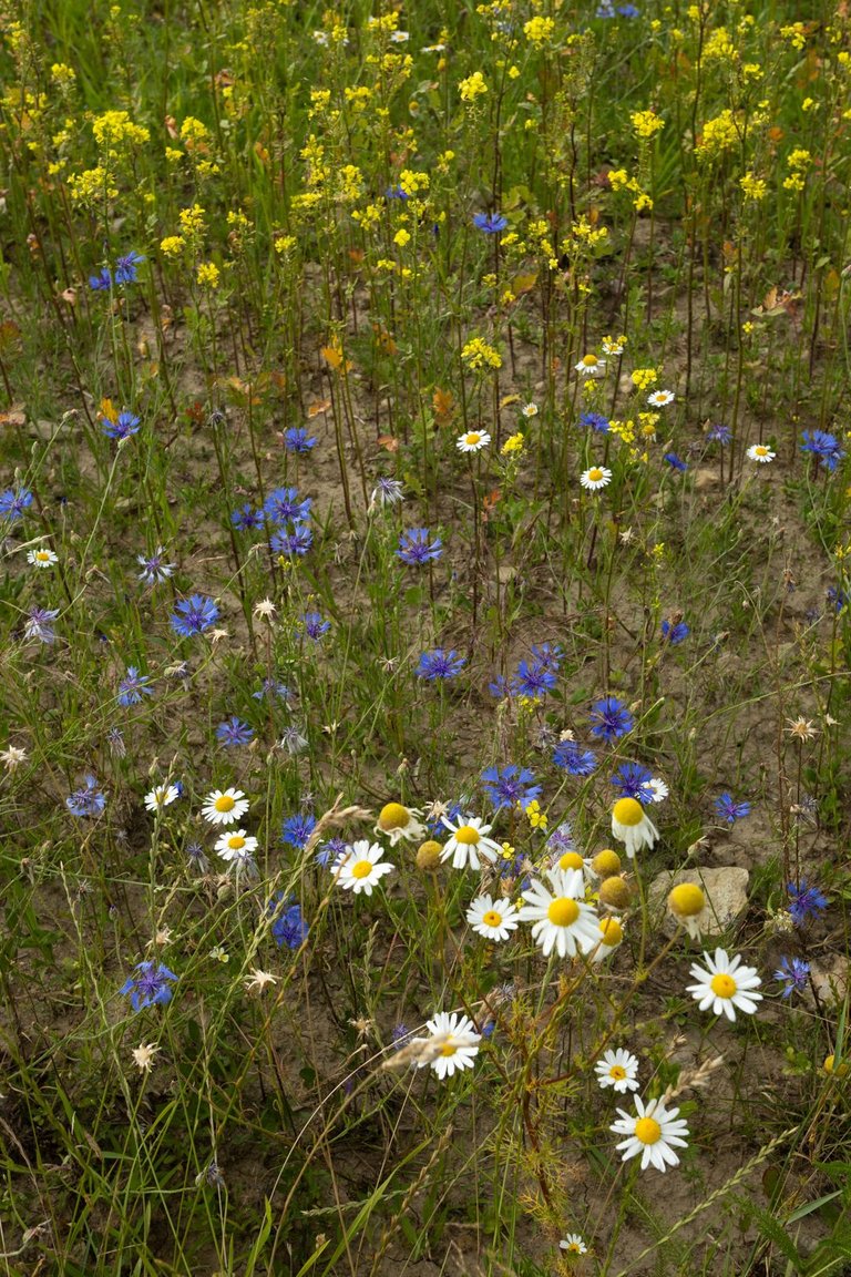
Right at the confluence, I began to climb out of the deep valley. Until I appeared on a plateau that was full of fields and meadows, which were blooming beautifully at that time.
Hned od soutoku jsem začal stoupat z hlubokého údolí, až jsem se objevil na náhorní plošině, která byla plná polí a luk, která tou dobou pěkně kvetla.
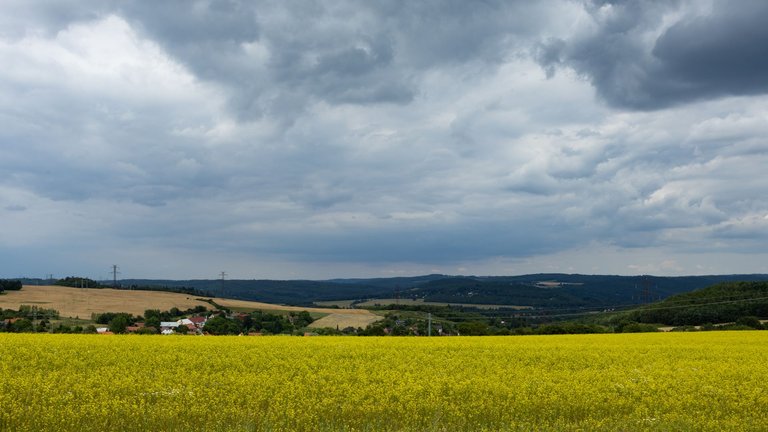
Sometimes I had a view of the Vltava Valley, which wasn't very often, because the path mostly led through the forest, where there was nothing to take photos of, so I covered this section quite quickly.
Občas se mi otevřel výhled do údolí Vltavy, což nebylo zrovna často, protože cesta vedla většinou lesem, kde nebylo nic k focení a tak jsem tento úsek proběhl dost rychle.
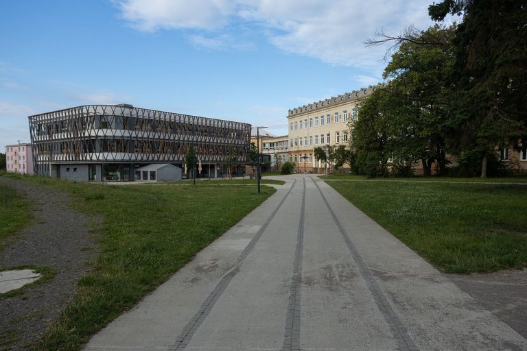
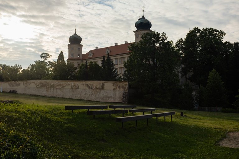
On the way, I passed under the highway leading to the south of Bohemia and reached a small town called Mníšek pod Brdy. Where the town center with a church and then the castle on the edge of the pond are worth visiting. Unfortunately, I was here late and so I had to skip the tour. That's why I headed to the main tourist spot that Mníšek pod Brdy offers. And that is the Skalka Baroque Complex.
Na cestě jsem dále prošel pod dálnicí vedoucí na jih Čech a dostal se až do městečka jménem Mníšek pod Brdy. Kde stojí za návštěvu centrum obce s kostelem a poté zámek na okraji rybníka. Bohužel jsem zde byl dost pozdě a tak jsem musel prohlídku vynechat. Proto jsem zamířil k hlavnímu turistickému bodu, který Mníšek pod Brdy nabízí. A tím je Barokní areál Skalka.
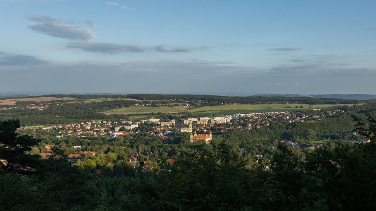
The Skalka area is located on the edge of the Brdy Mountains, from which you can see the plateau from where I came and even the town of Mníšek pod Brdy itself.
Areál Skalka se nachází na okraji pohoří Brdy, ze kterého je vidět no náhorní plošinu odkud jsem přišel a i na město Mníšek pod Brdy samotné.
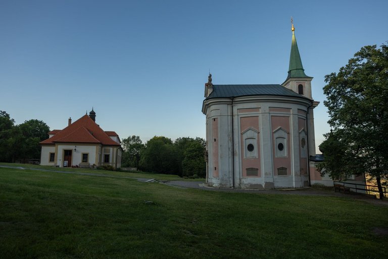
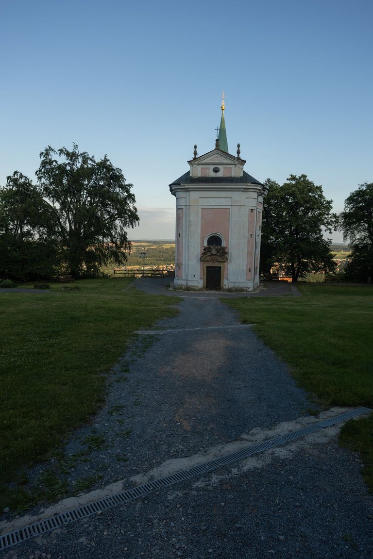

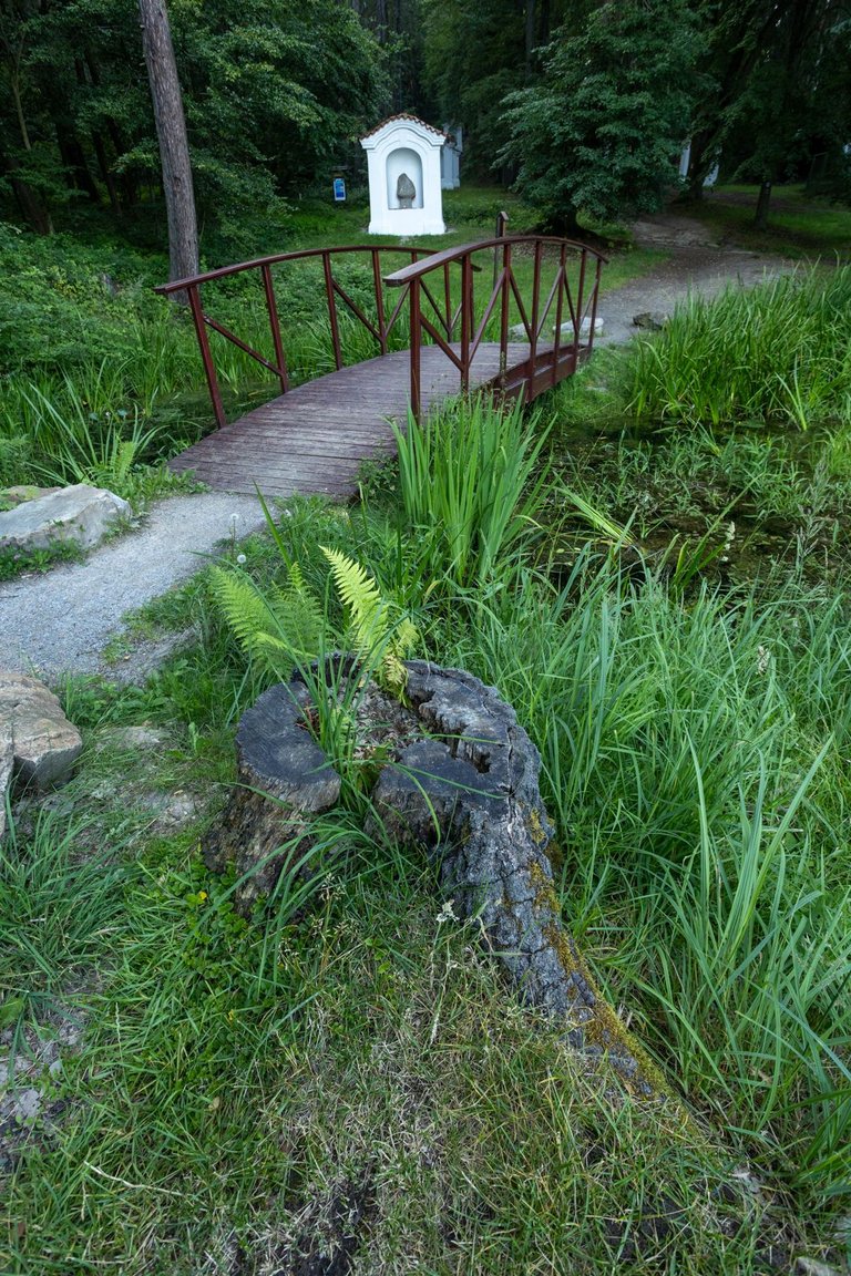
The area itself consists of a small church, the Skalka monastery and the Stations of the Cross. It is usually quite lively here, but at the time of my visit I was completely alone. The only other person was the refreshment operator, who was just cleaning up and getting ready to leave.
Samotný areál je tvořen kostelíkem, klášterem Skalka a křížovou cestou. Většinou je zde dost živo, ale v době mojí návštěvy jsem zde byl úplně sám. Jedinou další osobou byl provozovatel občerstvení, který akorát uklízel a chystal se odjet.
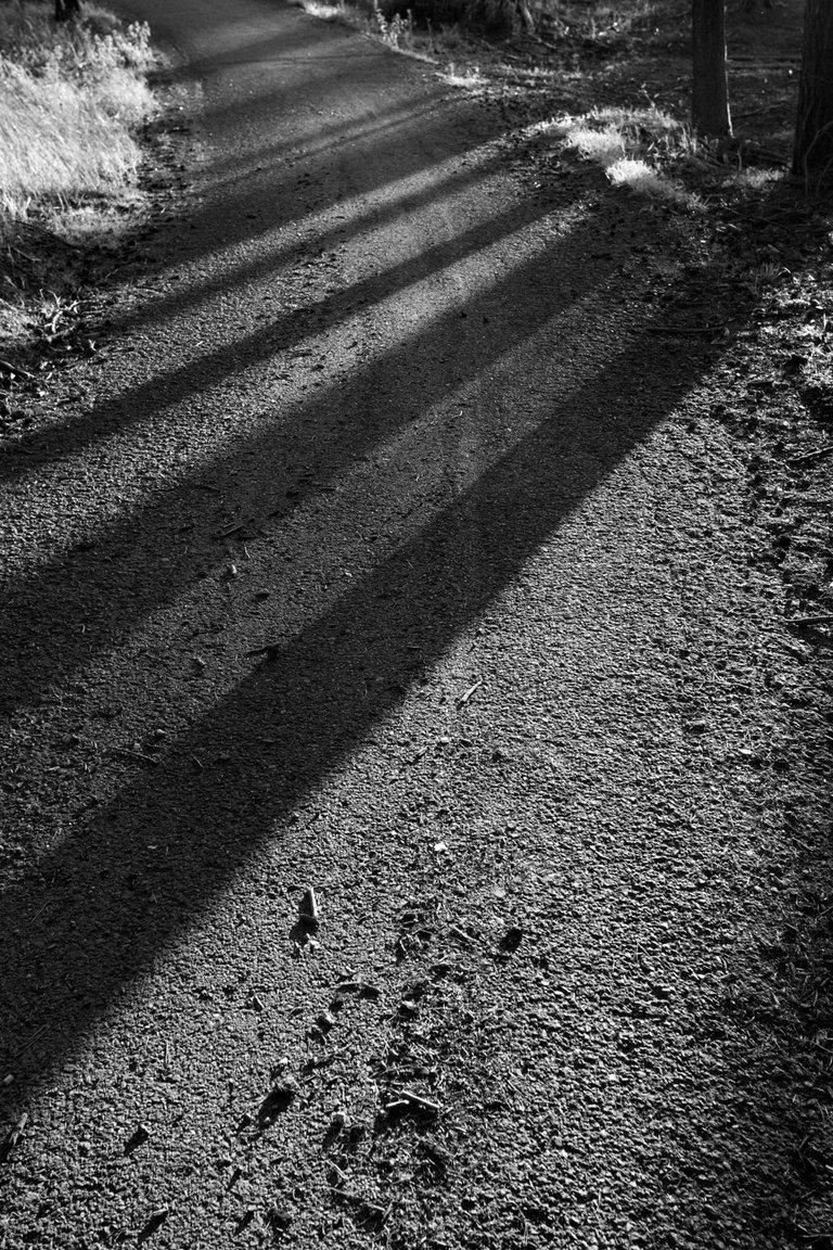
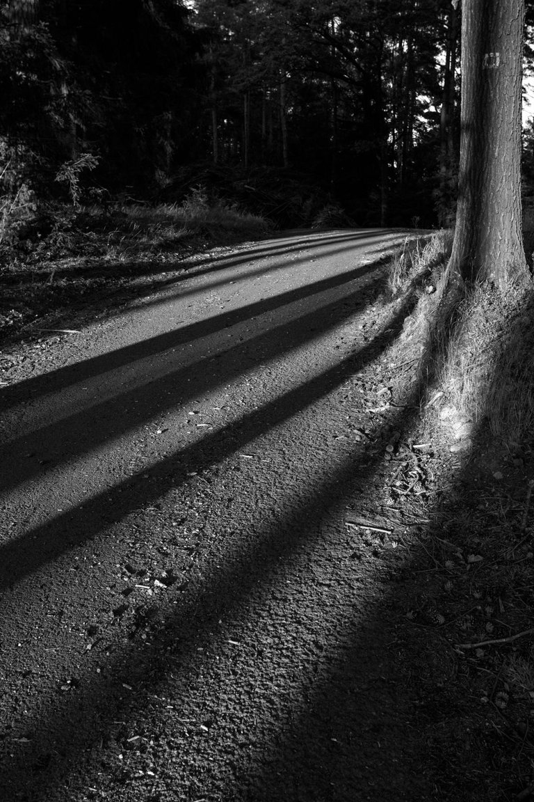
I continued on to Brdy where I planned to spend the night. The sun was already quite low above the horizon and so it painted interesting patterns in the forest. As a place to sleep, I found a small spot near one of the springs. So I could calmly make dinner on the cooker and go to sleep to gain strength for the next day, because I had a rather difficult journey ahead of me, but I didn't know that at the time.
Já jsem pokračoval dále do Brd kde jsem měl v plánu přenocovat. Slunce bylo již dost nízko nad obzorem a tak do lesa malovalo zajímavé obrazce. Jako místo na spaní jsem si našel malý plácek nedaleko jedné ze studánek. Takže jsem si mohl v klidu na vařiči udělat večeři a jít spát, abych nabral síly na další den, protože mě čekala dosti náročná cesta, ale to jsem tou dobou ještě nevěděl.
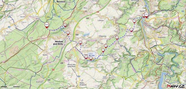
During the first day, I walked a little over 22 kilometers, climbed 581 meters and descended 255 meters, which indicated that this journey would not be easy.
Během necelého prvního dne jsem ušel něco lehce přes 22 kilometrů a nastoupal 581 metrů a klesl o 255 metrů. Což naznačovalo, že tato cesta nebude úplně jednoduchá.
You can check out this post and your own profile on the map. Be part of the Worldmappin Community and join our Discord Channel to get in touch with other travelers, ask questions or just be updated on our latest features.
Look at some very beautiful pictures my friend