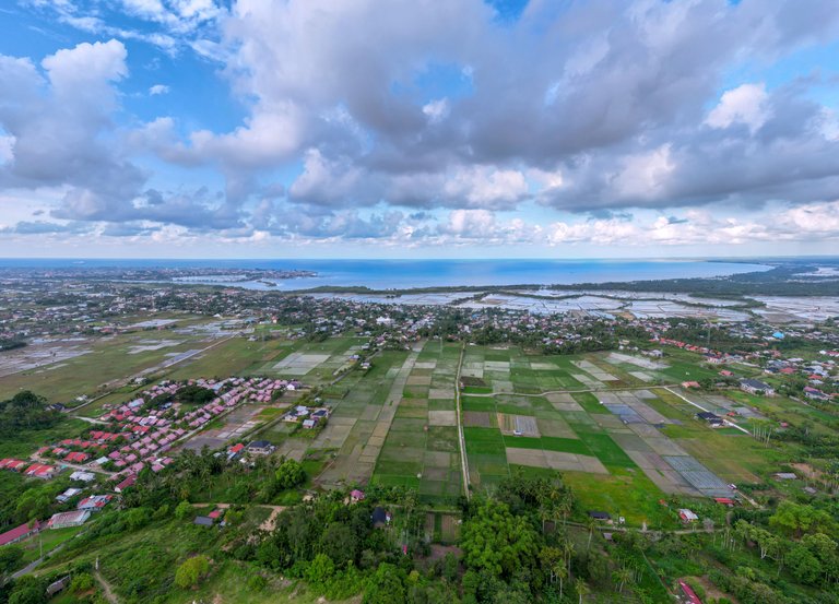
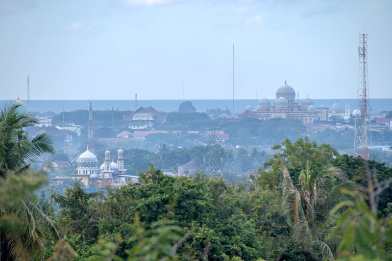
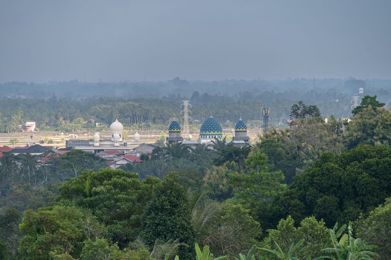
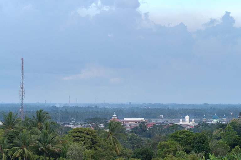
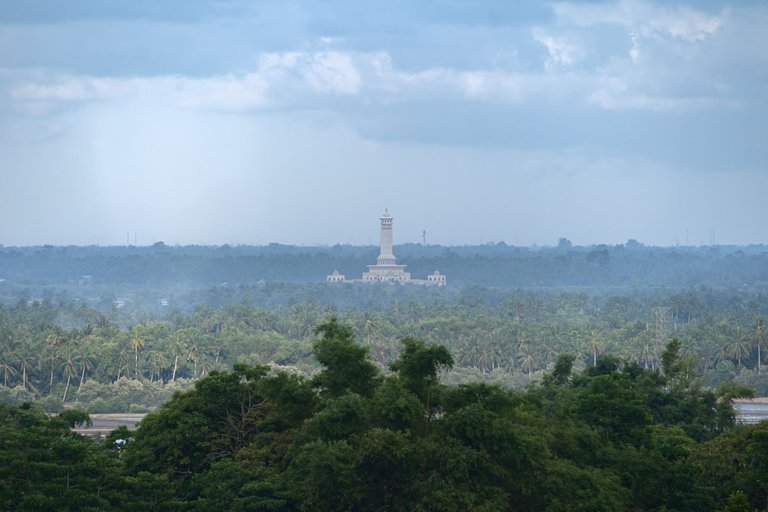
When standing in a high place on my first experience, I might be amazed by the unobstructed view of the horizon. The panorama before me reveals the rhythm of the Lhokseumawe landscape that is enchanting from its irregularities, differences, and splendors into a tapestry woven by natural elements, human touch, and dynamically evolving architecture that meets the needs of the community's lifestyle patterns.
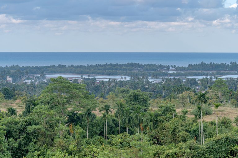
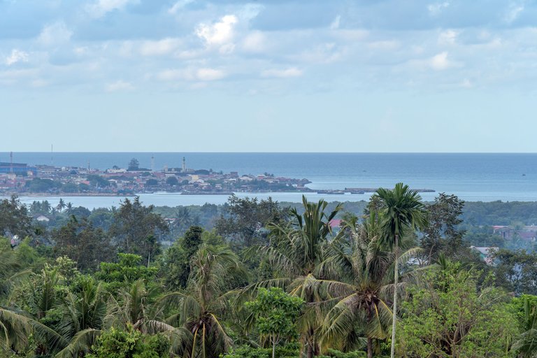
A telephoto lens will capture these differences, irregularities, and splendors clearly, depending on which perspective we choose to display.
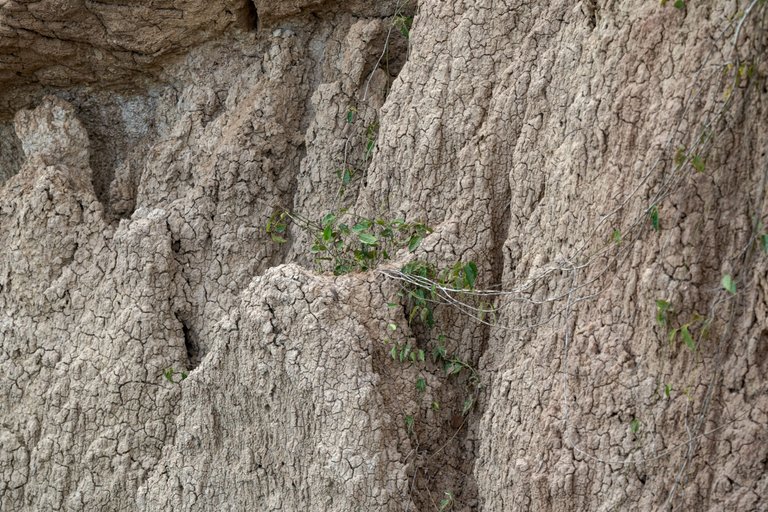
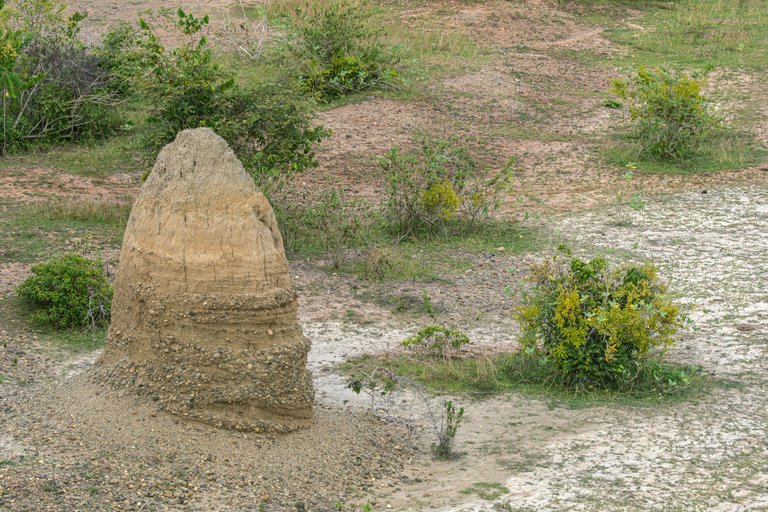
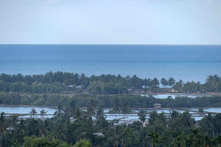
It became an introspection for me when reaching a new, higher position by accommodating differences, shortcomings, and challenges, creating the interdependence needed for harmony. The embodiment of my reflection flickered as I enjoyed the view one afternoon on September, 11, 2024 at the top of the Cot Girek Kandang hill. Here I am accompanied by two of my friends @akukamaruzzaman and @anzirpasai.
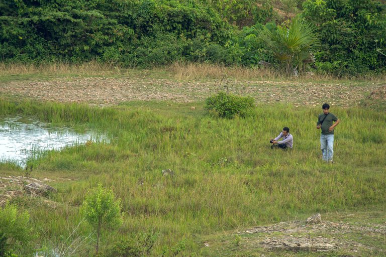
This location is on the edge of a paved village road, an unnamed road connecting Jl. Elak with the Mukim Kandang settlement in Lhokseumawe. Local residents call it the toponym Cot Kareung Puteh. This place is not a tourist spot that provides facilities for visitors. You can park your vehicle freely on the side of the road. For those who want to relax, It's a good idea to bring some snacks to enjoy while relaxing.
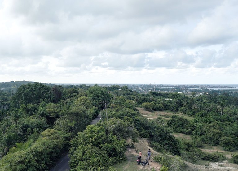
The best view can be enjoyed towards the eastern horizon, where at sunrise, the sun slowly appears from the sea horizon the calm waters of the Malacca Strait, and the lush green expanse dominated by palm trees.Some of the obstructed views are the expanse of rice fields located between residential areas and hills, which are a sight to behold. I can capture this view when flying a drone.
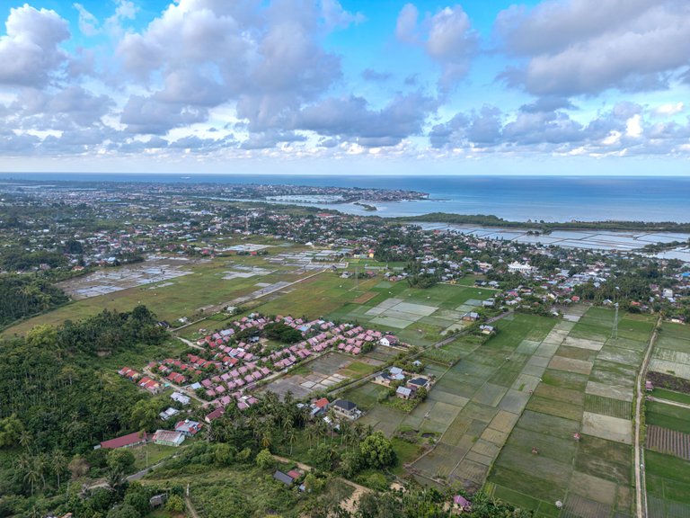
The most prominent building is a mosque with a dome standing above the other buildings. Lhokseumawe is an administrative city at the district level in Aceh, Indonesia, which is predominantly Muslim and is located on the north coast of the island of Sumatra.
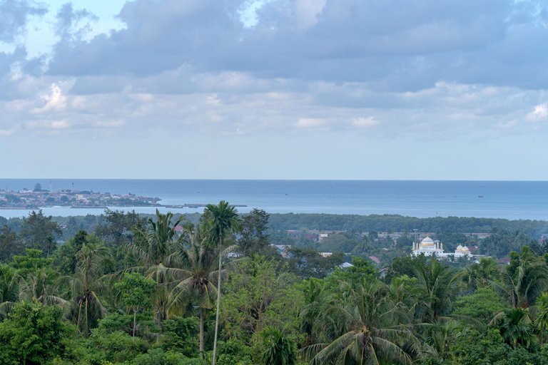
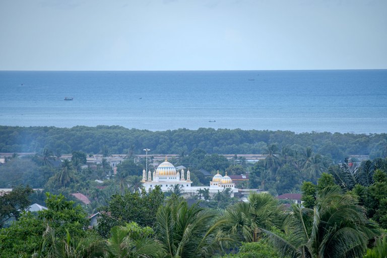
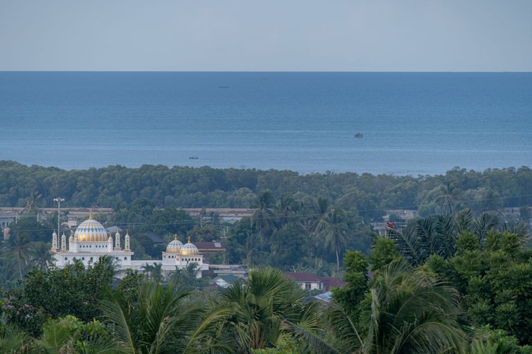
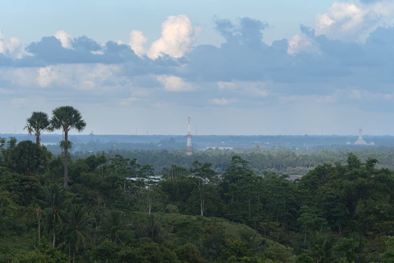
If you are interested in enjoying the panorama there in its entirety, I have created a 360° Pano on SkyPixel using the DJI Mini 3 Pro drone. Click the following LINK.
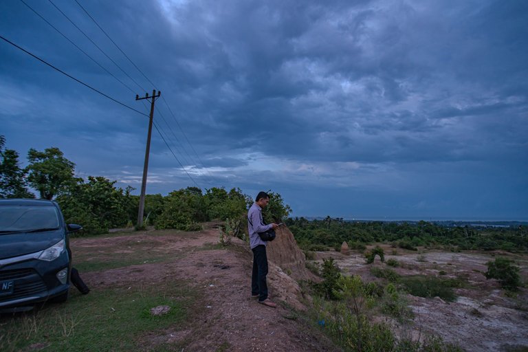
As evening approached, a cloudy atmosphere enveloped Lhokseumawe. Before heading home, I captured a final photo with Anzir as the model.
Thanks for your precious time.
The photos were taken using a Sony A7III camera and a DJI Mini 3 Pro drone.
Thank You
Irfan M Nur (@vannour)
Damn it! I can't hide my belly fat. LOL!
Yeah, it was a distant shot, I had to shout to say that 😄
Congratulations, your post has been added to WorldMapPin! 🎉
Did you know you have your own profile map?
And every post has their own map too!
Want to have your post on the map too?
Congratulations @vannour! You have completed the following achievement on the Hive blockchain And have been rewarded with New badge(s)
Your next target is to reach 950 posts.
You can view your badges on your board and compare yourself to others in the Ranking
If you no longer want to receive notifications, reply to this comment with the word
STOPCheck out our last posts:
Travel Digest #2318.
Become part of our travel community:
- Join our Discord
Hiya, @ybanezkim26 here, just swinging by to let you know that this post made it into our Honorable Mentions in Your post has been manually curated by the @worldmappin team. If you like what we're doing, please drop by to check out all the rest of today's great posts and consider supporting other authors like yourself and us so we can keep the project going!@ybanezkim26. Thanks so much for your support! I really appreciate it.🙏
Keep up the great work 💪