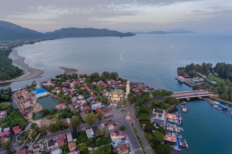
Aerial image of the northern tip of the island of Sumatra, the last land being a cape, also known as King's Point, located in the Peukan Bada sub-district, Aceh Besar Regency. In the past, European sailors in their marine navigation reports, the hill group was known as Acheen Head. A toponym commonly used by British marine navigators, but on Dutch navigational maps it says Atjeh Hoofd. The toponym denoting a place can now be expressed as the hilly area of Ujong Pancu and its surroundings as shown in the the top side of the pic.

If interested, I can refer readers to the work of John Anderson (diplomatic writer) entitled: Acheen, And The Ports On The North And East Coasts Of Sumatra: With Incidental Notices Of The Trade In The Eastern Seas, And The Aggressions Of The Dutch, 1840.
The digital version of this book can be read and downloaded at Staatsbibliothek zu Berlin
Here I quote two paragraphs about the road to Aceh in the work of Thomas Forrest (navigator) in the book "A voyage from Calcutta to the Mergui Archipelago, lying on the east side of the bay of Bengal", which can be read on page 122. Check out the digital version of the book at Staatsbibliothek zu Berlin
In the month of August, a ship may get from Bengal to the southward by keeping close to the coast of Coromandel; for then the freshes of the Ganges set along the shore. Having got a little way down, as far perhaps as point Godewar, she may put off when the wind hangs well to the westward, and get southing and easting together.
But, should the navigator fall to leeward of Atcheen Head (for in Atcheen Road the wind blows through the Surat passage southwest into the Strait of Malacca), let him, anchor, the nearer the shore the better; and by land and sea breezes he may easily get to Atcheen Road, where, in smooth water, he may anchor and refresh: but it is unlikely for a ship to fall to leeward at this season.
Captain Thomas Forrest in his book admits that he was awarded a "Golden Order Sword", the medal was draped by the King of Aceh during his visit in 1762. Illustrations of the order of gold swords are included in his book.

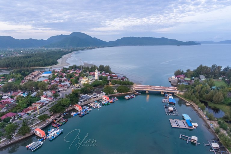
The picture above is a view of Aceh Bay and Ulee Lheue Lagoon which is separated by a bridge. It was in the bay that the merchant ships anchored in the past.
Ulee Lheue, an area that holds a lot of history, is recorded as a busy port city, the first landing of the Dutch East Indies aggression in 1873 to the worst place for the 2004 Indian Ocean tsunami disaster.
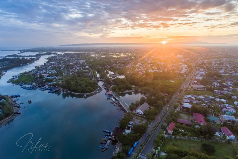
The photo below shows the Ulee Lheue lagoon at dawn, with the sun rising behind the foot of Mount Seulawah Agam, a natural landmark in Aceh.

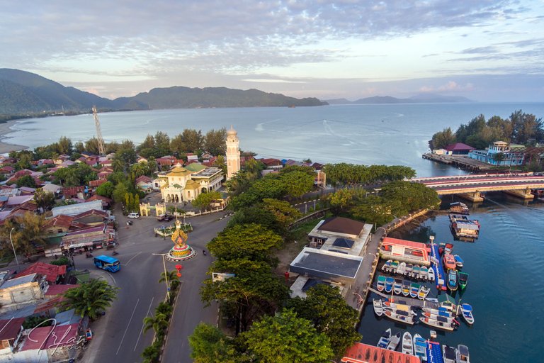
I flew a drone at the tourist pier right in the courtyard of the Baiturrahim Mosque, Ulee Lheue on Tuesday 11 October 2022 starting at 06:30.
It's a historic mosque, a tourist destination, built-in 1922 by the Dutch East Indies government with a European architectural style.

Let's visit, the northern tip of the island of Sumatra, located in Ulèë Lheuë, Banda Aceh City, Indonesia.
Thank You
Irfan M Nur (@vannour)
Taken with DRONE DJI PHANTOM 4
Congratulations, your post has been added to Pinmapple! 🎉🥳🍍
Did you know you have your own profile map?
And every post has their own map too!
Want to have your post on the map too?
The place is stunning! do you use a drone for this?
That's right, I'm still in the stage of learning to fly a drone.
I see, good luck on that Bro