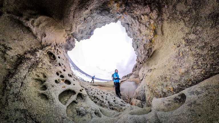
Last weekend I took part in a very interesting and exciting initiative of the tourist group Nasam-Natam, which takes care for the preservation and promotion of cultural landmarks in Strandzha Mountain and beyond. The team install and renew tourist markings, information boards and signs, clear paths, restore sites and many other useful things. I joined as a volunteer videographer and video editor (amateur).
This time their activity is in the region of Ahtopol, Varvara and Brodilovo.
The volunteers were divided into several groups and each had its own tasks.
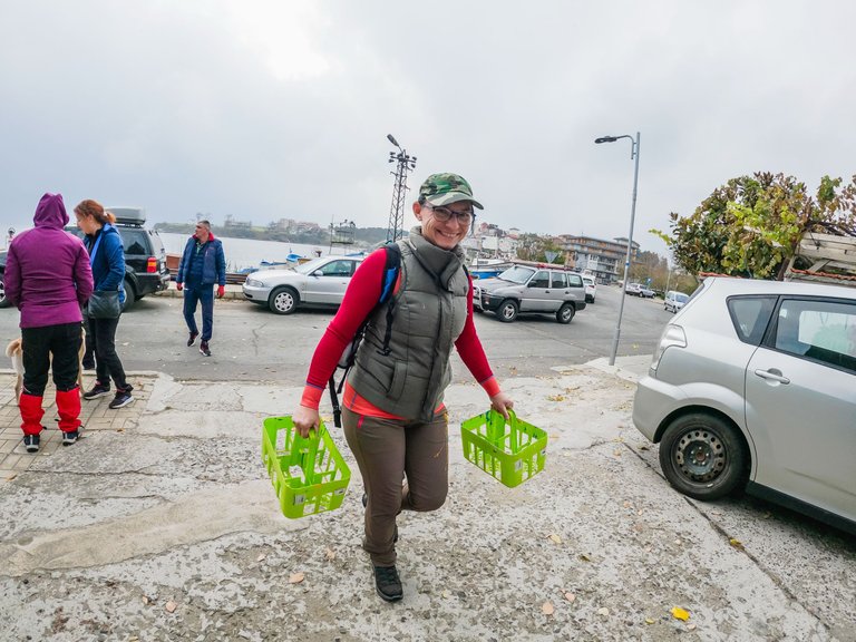
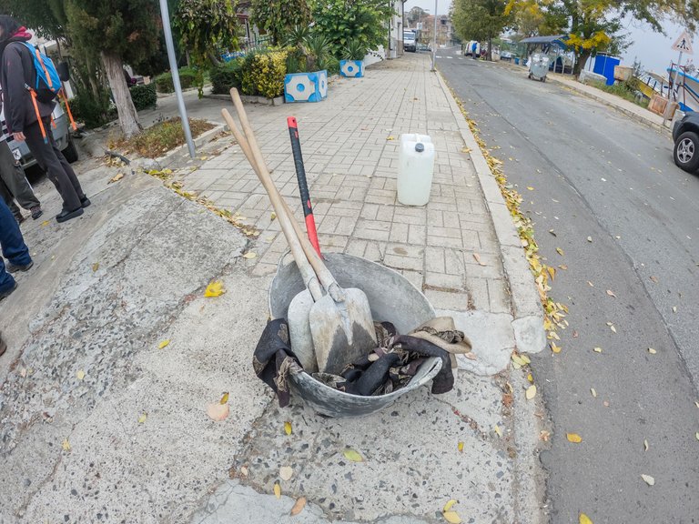
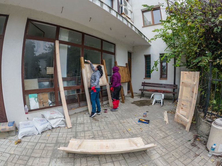
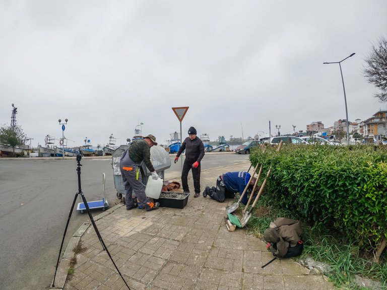
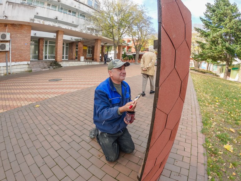
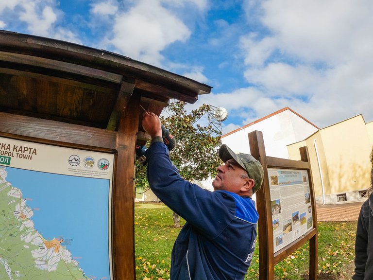
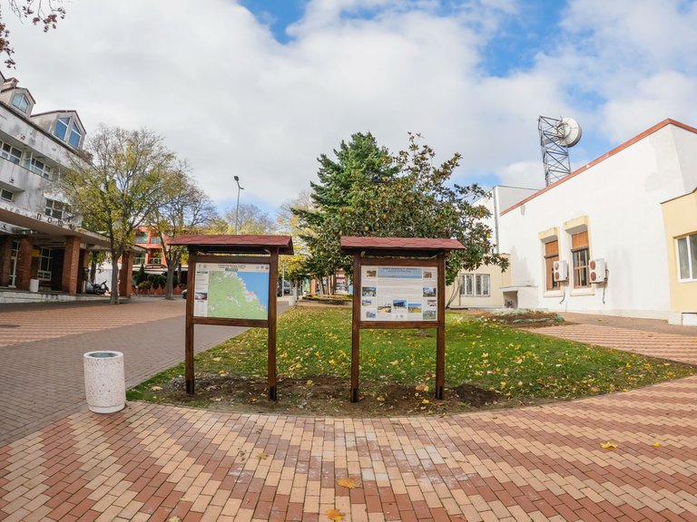
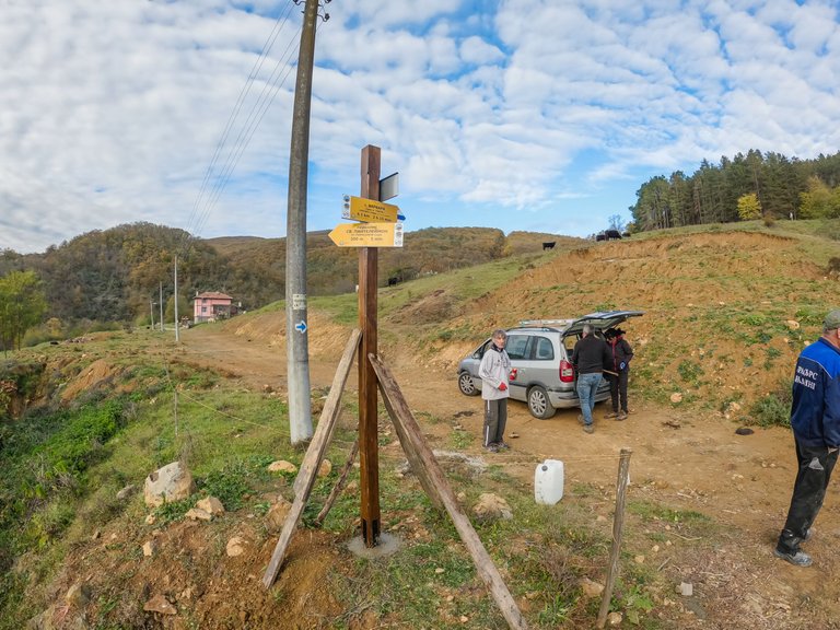
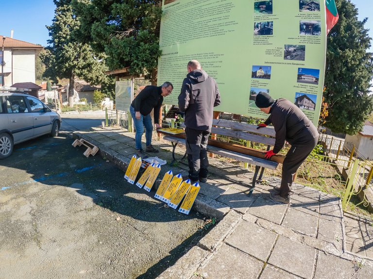
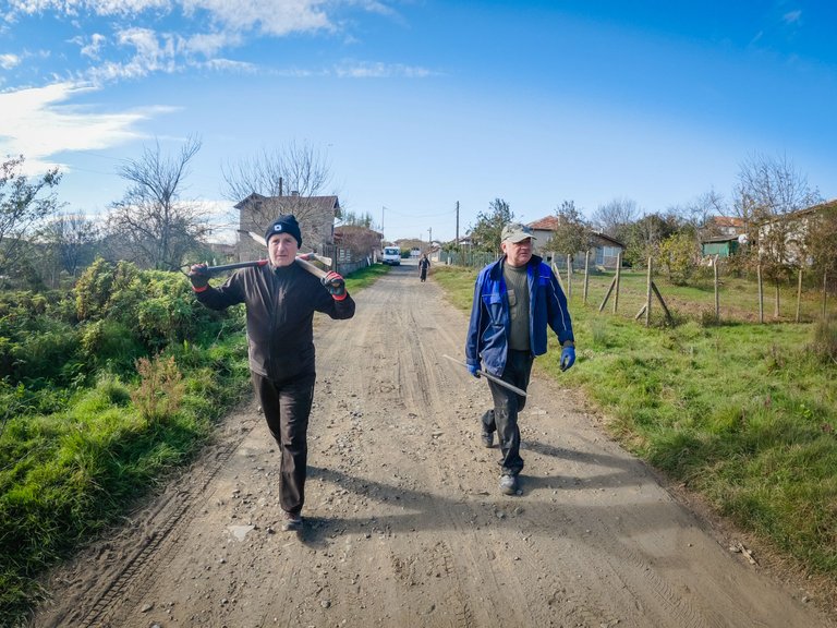
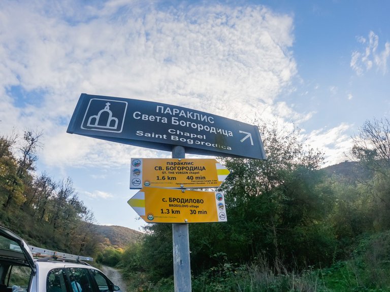
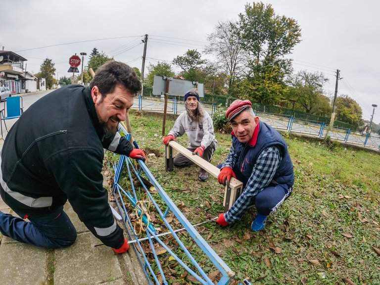
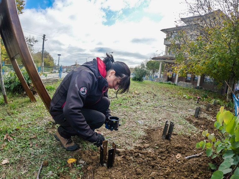
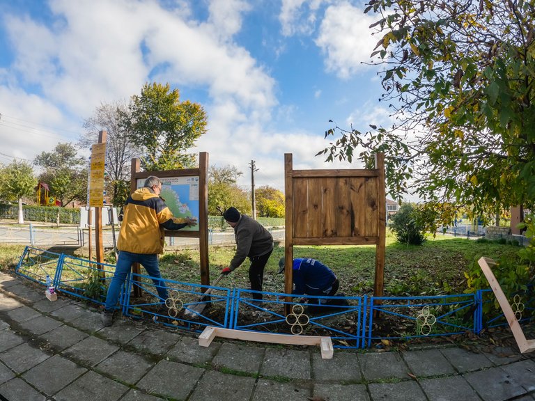
For two days, in Ahtopol and Brodilovo, information boards, signposts and markings were placed.
The workflow from Ahtopol:
The workflow from Brodilovo:
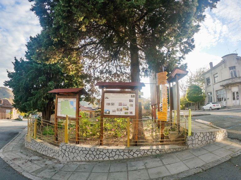
Information boards, signs and markings were also placed in Varvara. There I participated in the trek to mark two unique routes around the sea - the Soft Rocks and the Dardanelles. I will show you exactly them today.
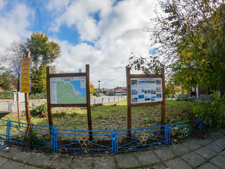
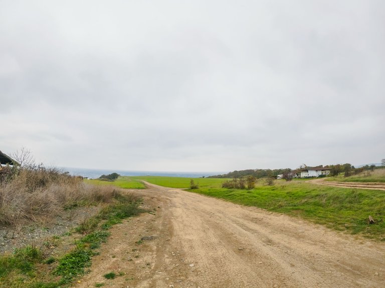
There is no marking to these places, so it was about to place signposts and markings from the center of the village, to the natural attractions.
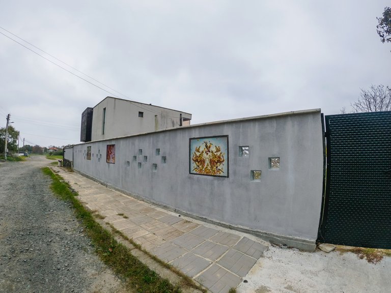
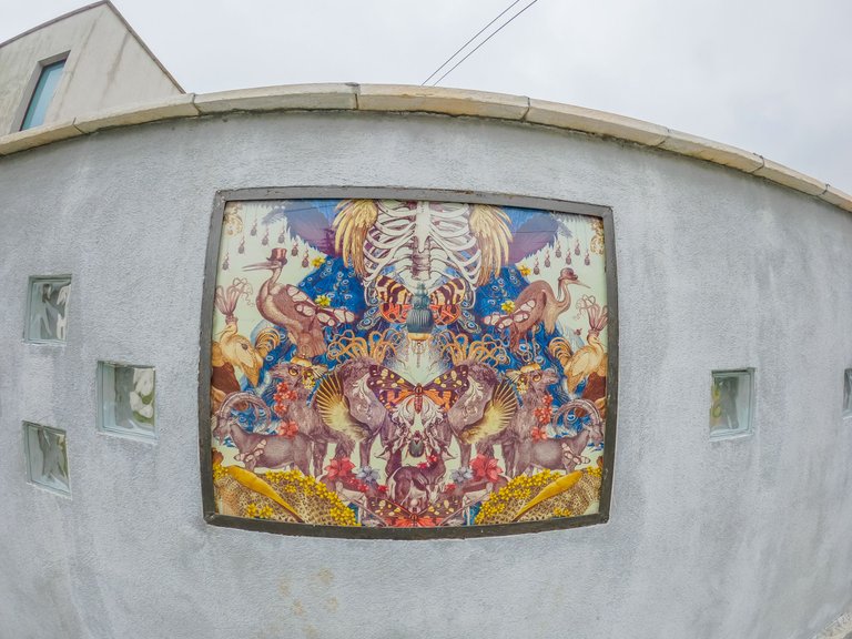
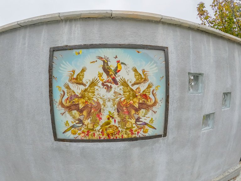
The road passes by an uninteresting fence of a house:
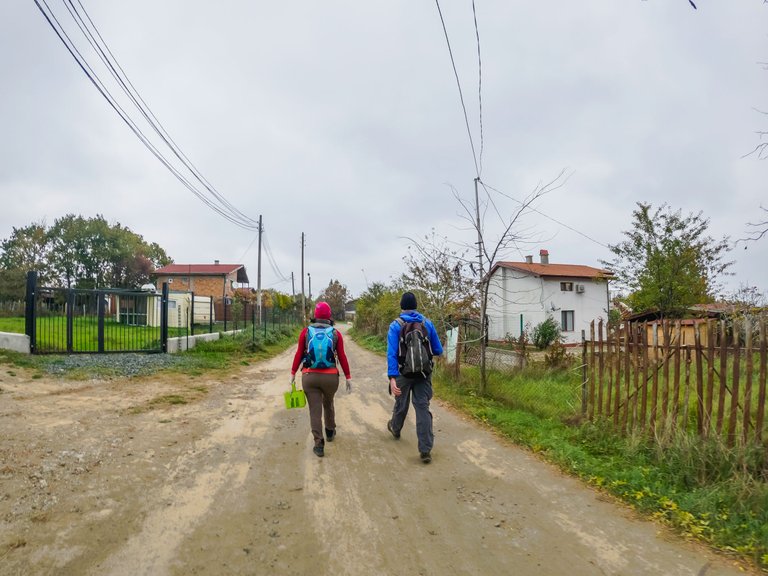
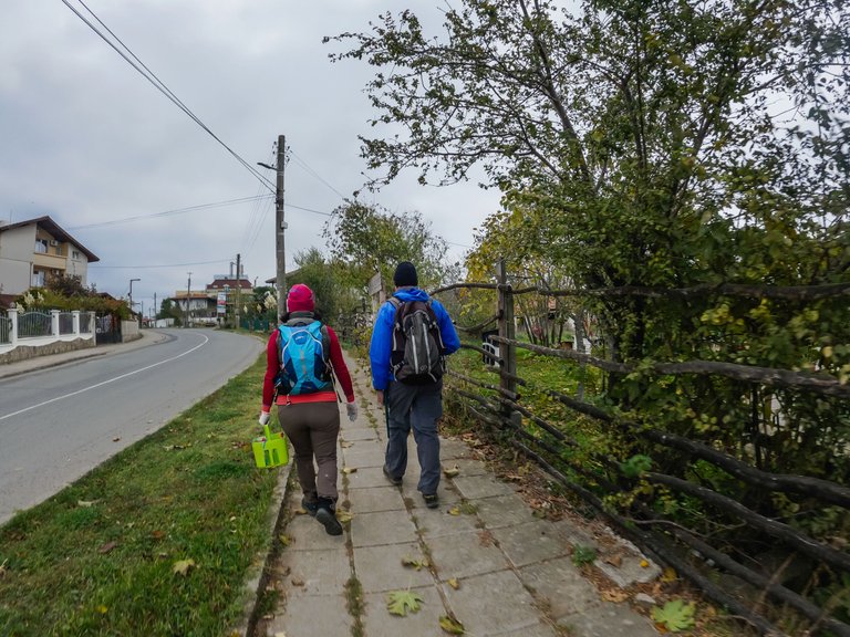
First we went along the routes and the marking was done on the way back, carefully considering where to place the signs and clearing around them so that they are clearly visible.
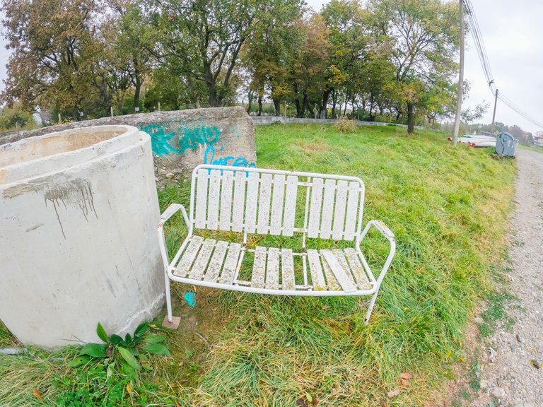
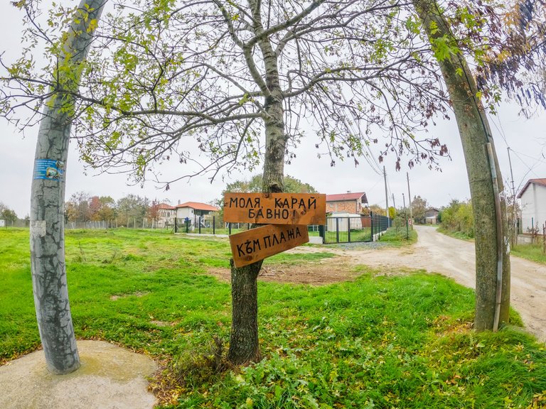
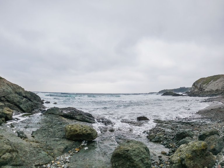
We were getting closer and closer to the sea. The vast view that unfolded before us was magnificent. We did not continue to the beach, but headed east. First we would go to the "Soft Rocks".
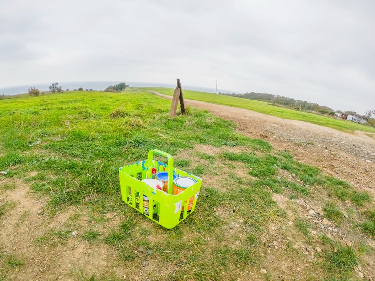
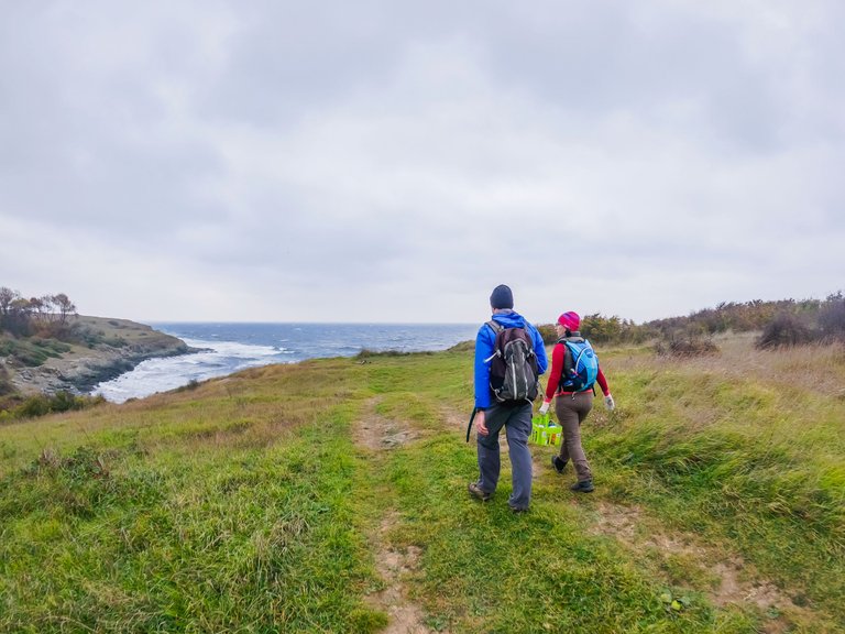
We crossed a small bay covered with shells.
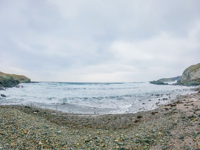
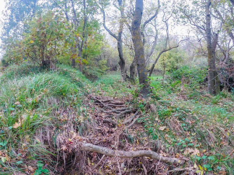
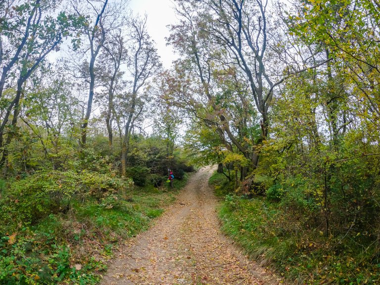
We climbed the rocks and entered a wooded area.
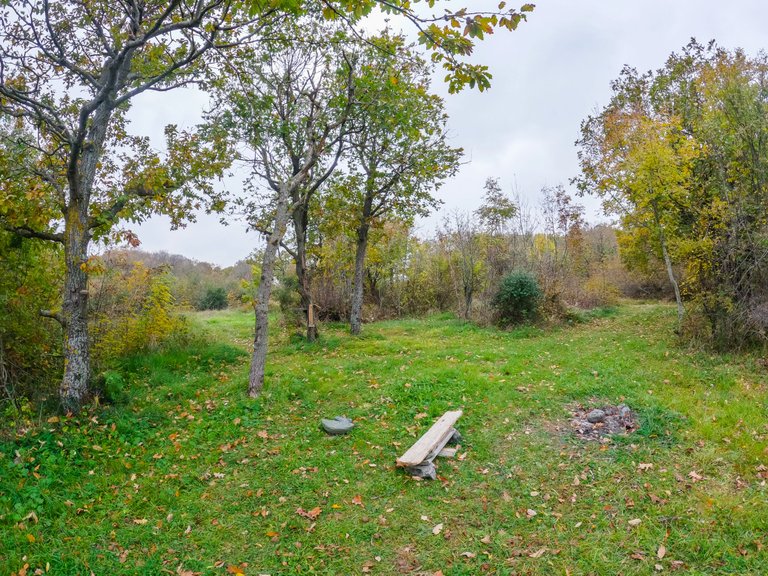
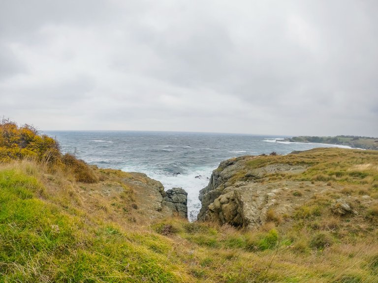
So we got to the rocks.
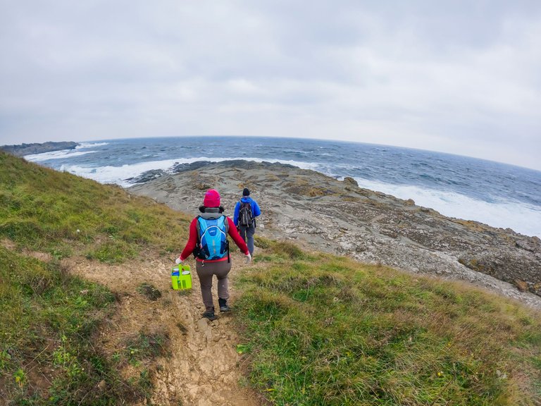
According to information from plaj.guru, the "Soft Rocks" are about 700 meters long.
Geographically, it is almost the entire rocky coastline between Stavrό and Selimioti bays.
The view was breathtaking - extremely interesting shapes unfolded around us. I went through the different parts of the rocks and studied the hundreds of holes, high and low rocks, troughs that filled with water and emptied.
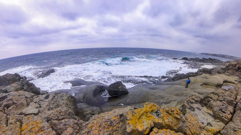
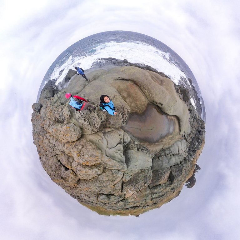
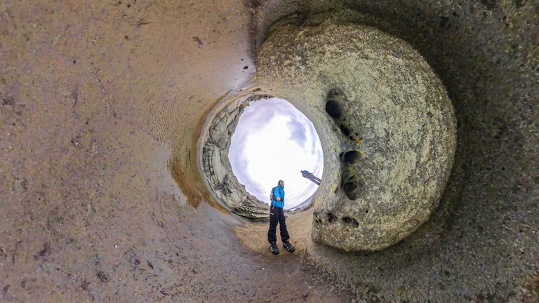
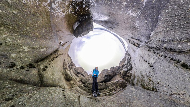
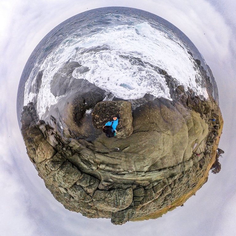
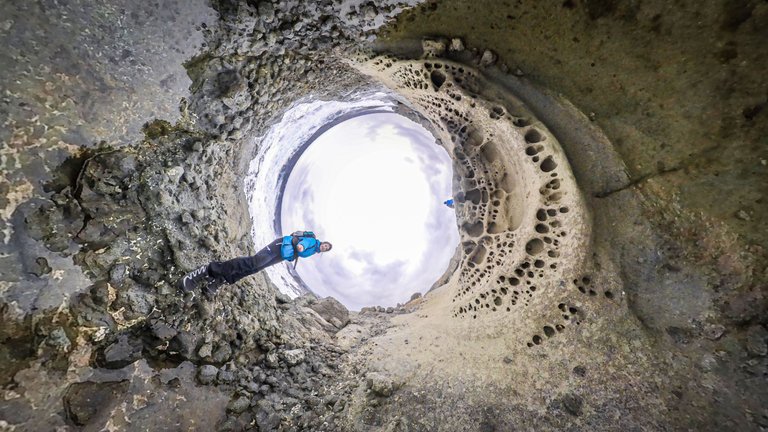
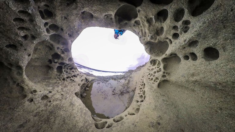
The wind was terribly strong and the sea rough.
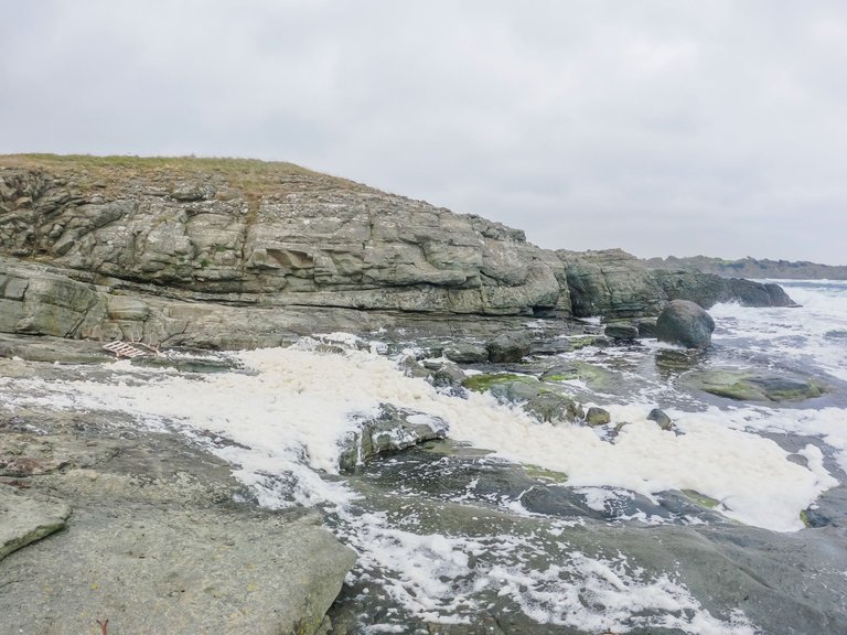
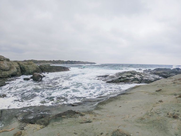
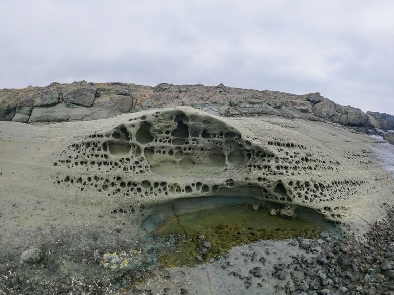
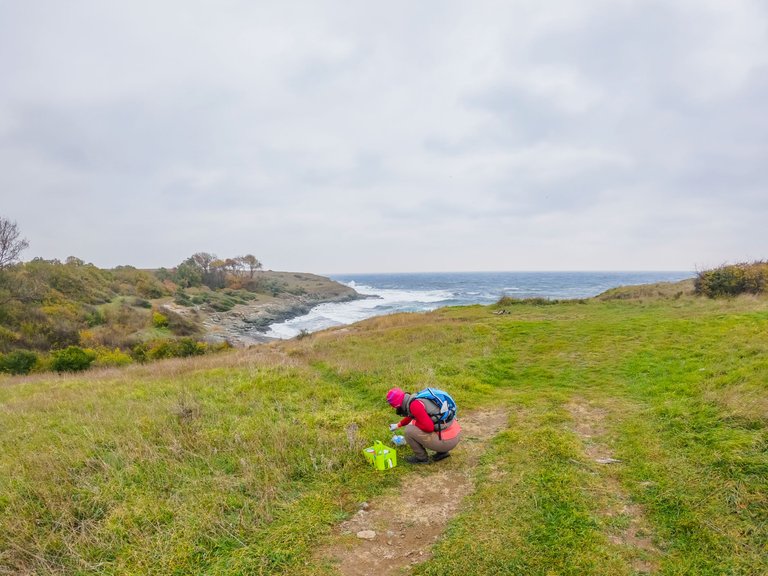
The team started making the trail marking.
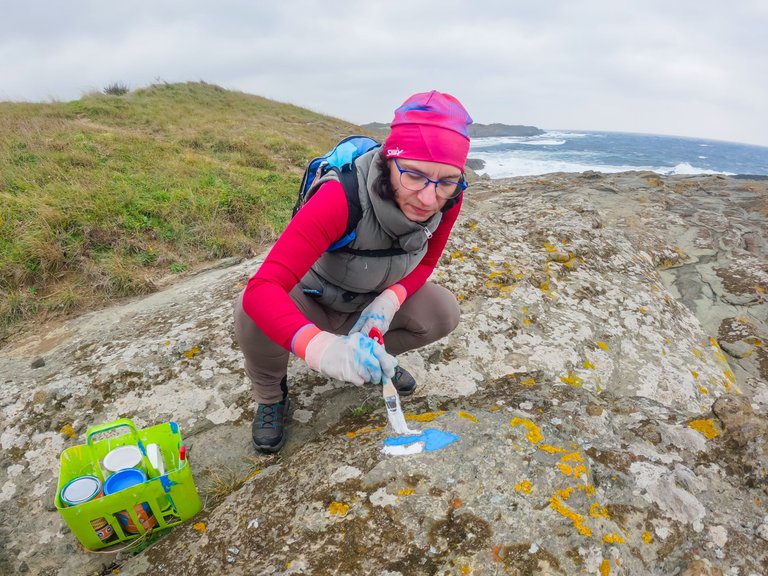
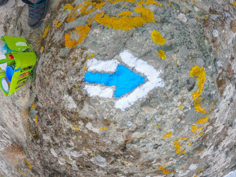
The tricky part was when there were no trees, rocks or other suitable surface to place a sign on.
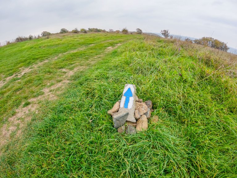
Then we had to look for suitable stones and carry them to the place.
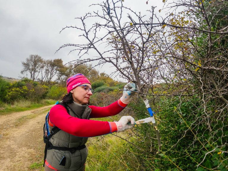
There were places where there were only bushes and then the thickest and most prominent area was chosen for marking.
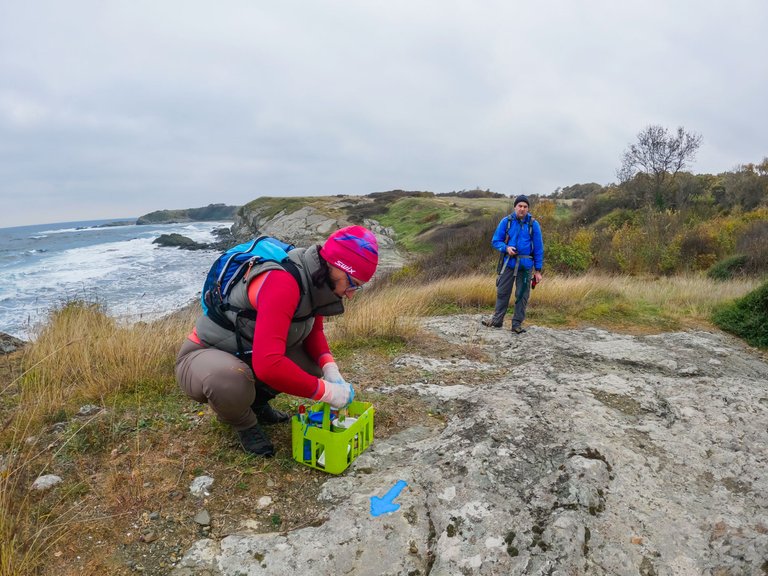
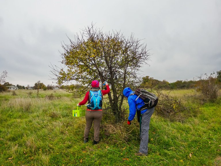
The construction of this small pyramid was not easy, for no other reason than because there were no stones around and we had to search and carry them.
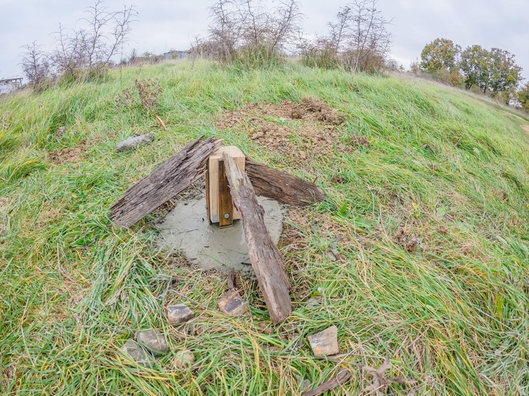
When we got back to the middle of the trail, where the two routes split, we saw that the other team had already gone through and laid the foundation for the pole that will be installed tomorrow after the concrete dries.
We headed for the other route - "Dardanelles".
The way to it from the village was shorter than to the "Soft Rocks".
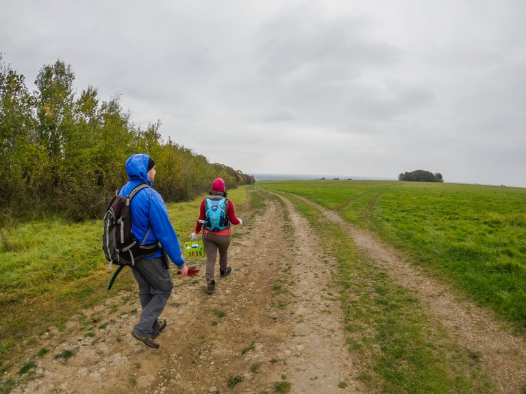
Together with the "Soft Rocks", "Dardanelles" are known as one of the largest non-beach swimming areas in area.
We reached the point called "Iron Tree"
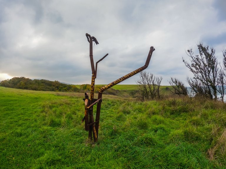
Moving further towards the sea, impressive views again opened up before us.
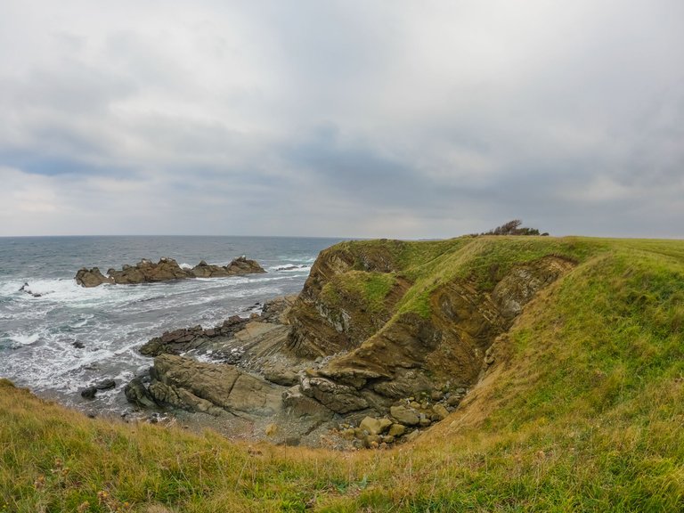
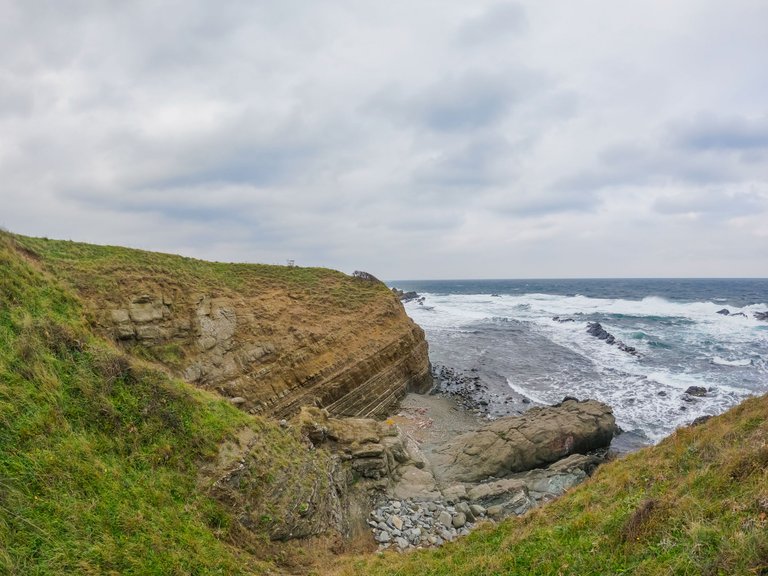
The section is a coastline about 550 meters long and a rocky reef that is located parallel to the coast.
Apart from swimming, the place is also used by many divers.
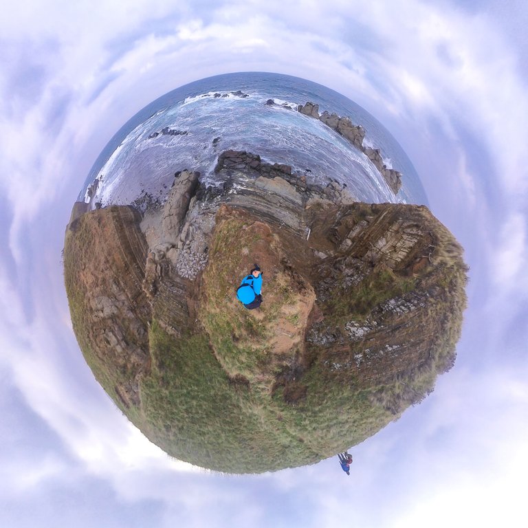
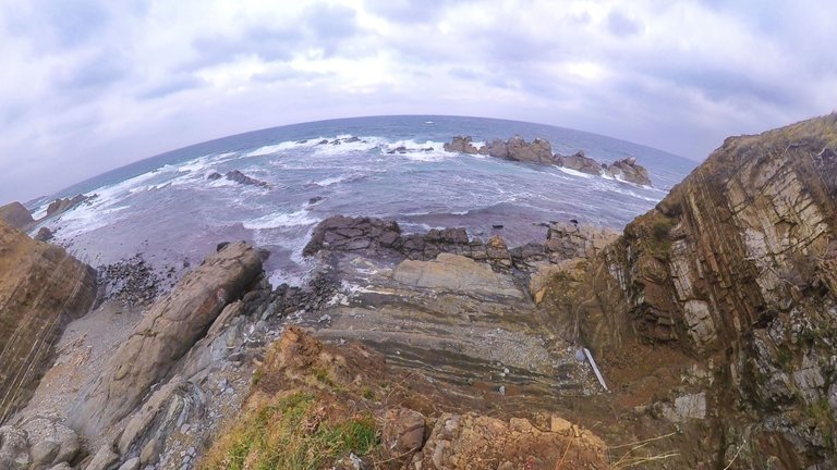
Years ago it was known as the "Glarus Rocks", although it was frequented by more cormorants.
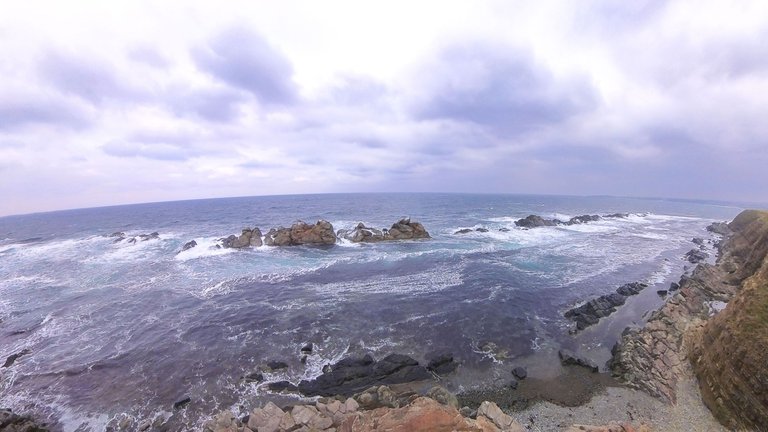
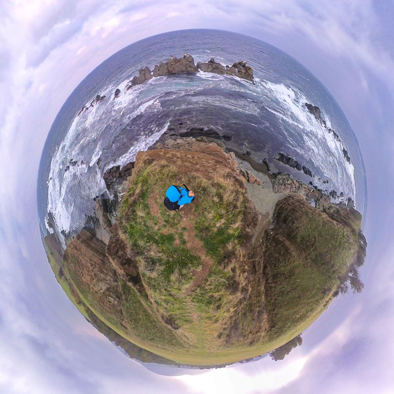
The rock reefs in the sea are 7 in number (according to data from the topographic maps), but only the largest and highest section is called the Dardanelles.
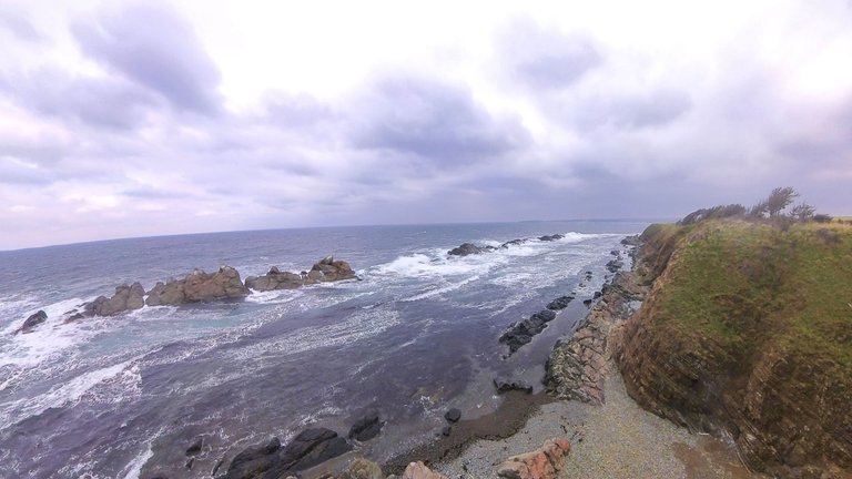
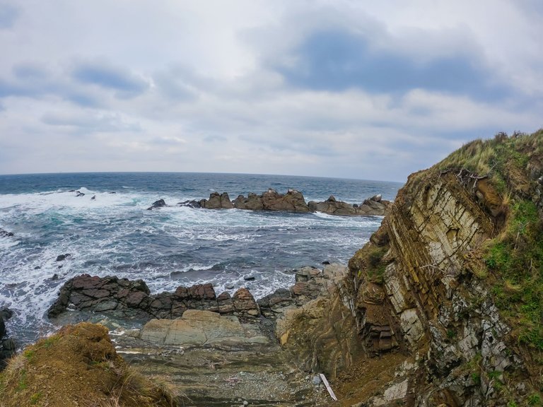
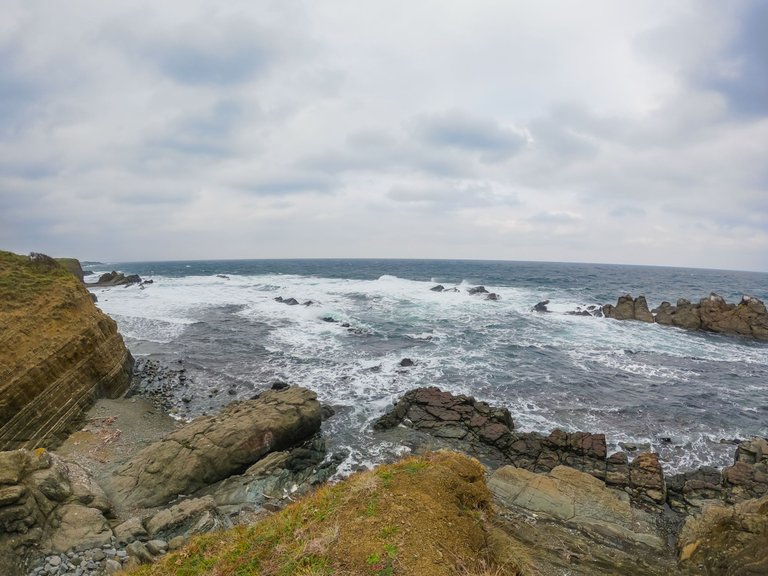
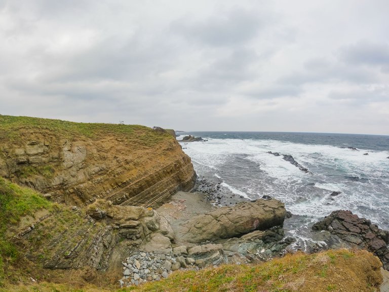
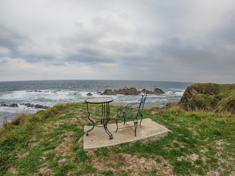
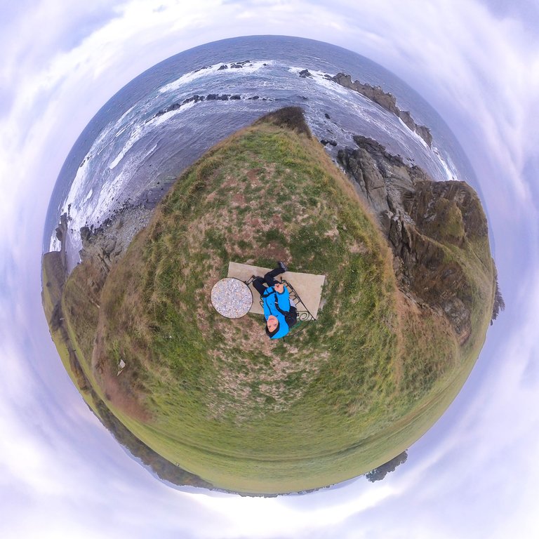
There was a stone table and chair installed.
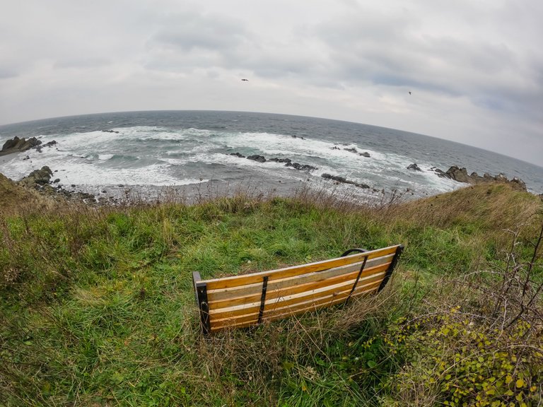
There was also a wooden bench.
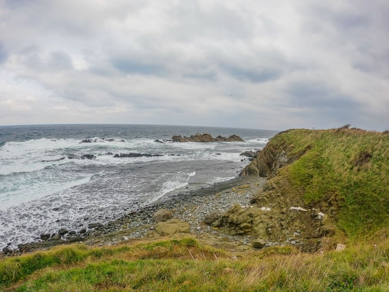
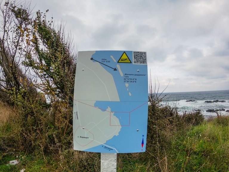
Steps dug into the soil led to the shore. But we didn't have time to go downstairs.
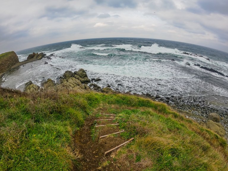
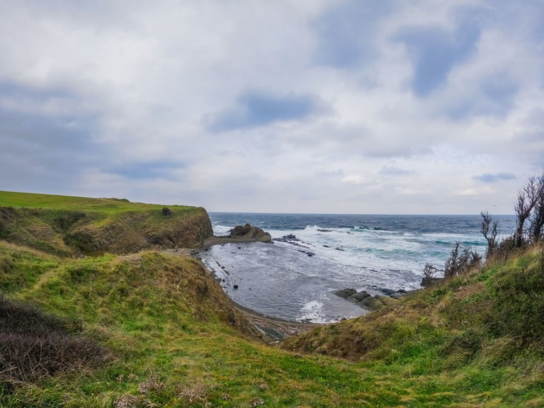
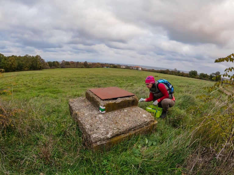
The tourist mark was about to be made.
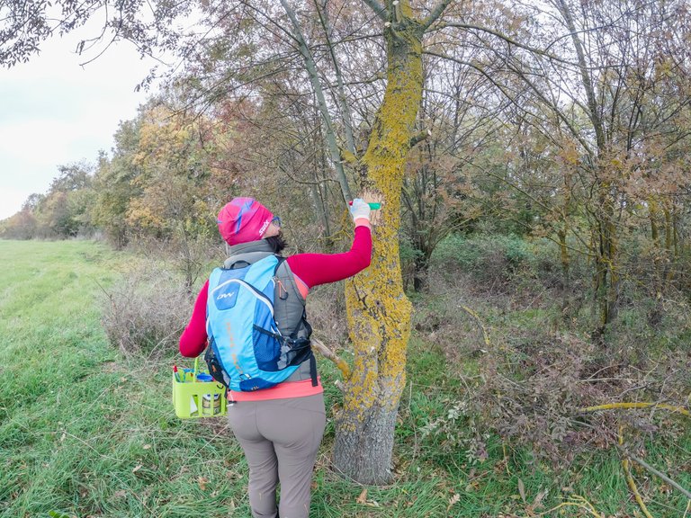
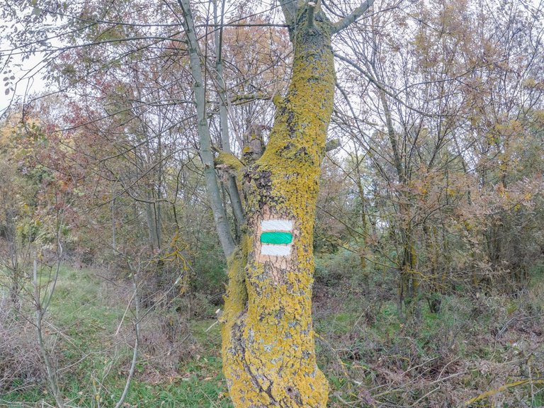
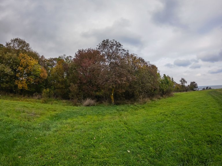
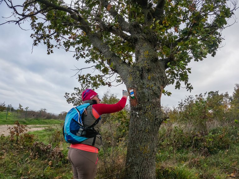
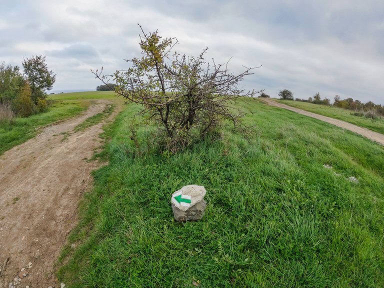
The street that leads to the two tourist trails is already marked with white and blue (for "Soft Rocks") and white and green (for "Dardanelles") markings.
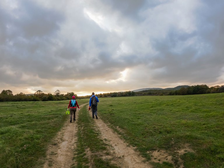
The team continued their work by marking several more trails. It was getting dark now, but the work was done before it was completely dark.
//:# (//:# (!worldmappin 42.13346 lat 27.90342 long "Soft Rocks" d3scr))
You can check out this post and your own profile on the map. Be part of the Worldmappin Community and join our Discord Channel to get in touch with other travelers, ask questions or just be updated on our latest features.
Great blog! Thanks for sharing.
Thank you @parvkhuller!
Next time, I will always try to add tourist mark to every place I will pay tour. This is nice idea. I have visited many places twice but never left anything that I can see for the next time. The rounded clicks are really professional. I think this filter of camera is known as fish eye? If I am not wrong.
Most of the photos were taken with a GoPro which has this fisheye setting. The round photos were taken with a 360 camera. The model is Insta 360X3. Glad you like it 👍
Thank you very much 🙏
Thank you so much ♥️
Worldmappin Community!Hi @vesytz! This is @ninaeatshere. Thank you very much for posting in the
We would like to drop off a recommendation as we have seen that you haven't interacted much with other users within the community, something that is very important for the whole Hive ecosystem. It would be interesting to dedicate some time to visiting other travelers, and content creators just like you, and show them your support, giving some feedback about their adventures. Of course, this is just a suggestion.
We always read the answers that all of you leave us in the comments, so if you have any questions, don't hesitate to write us, I hope we can interact more often. =D
We also invite you read all the rules of our community here.
Here you got our posting guide
For any other questions, don't hesitate to contact our team on our Discord channel.
Cheers!
Thank you for your suggestions and recommendations @ninaeatshere. It is useful and I would be happy if I could contribute even more tо the Hive ecosystem 😍.
¡Hi there! 😊
What a pleasure to read your enthusiasm for our Blockchain, that's what drives us all, to make Hive even greater. Thanks for answering our comment and for considering these suggestions, I hope we can exchange messages more often.
Hugs to you!💪🗺️🐝
Hugs to you 🤗
❤️❤️
Thank you @silviared945 🤗