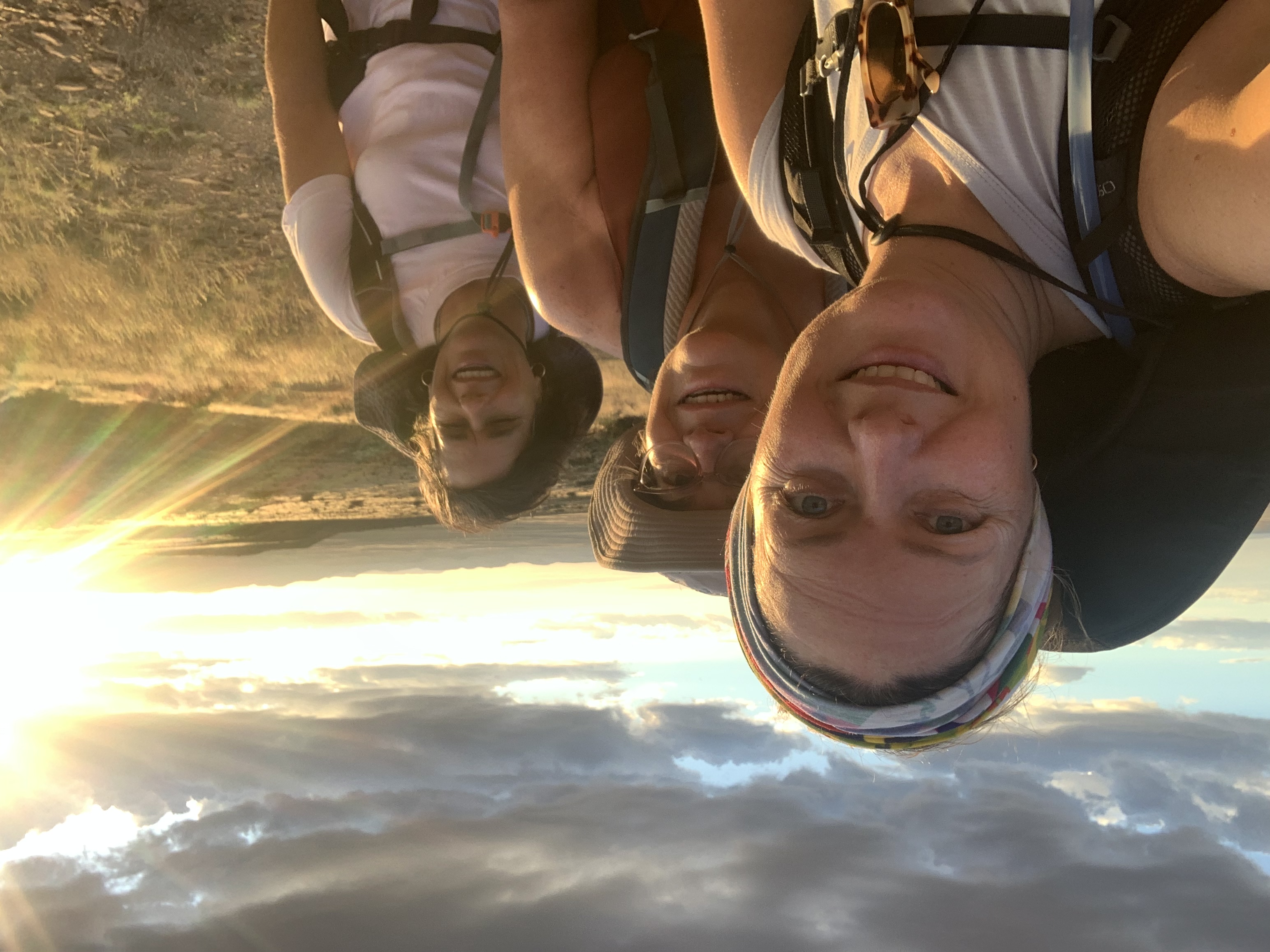
It’s been a couple weeks since I posted my first two hikes in the Karoo. But this particular day got interesting very quickly!
We had arrived in the Karoo desert which is found in the north eastern corner of the Western Cape Province of South Africa.
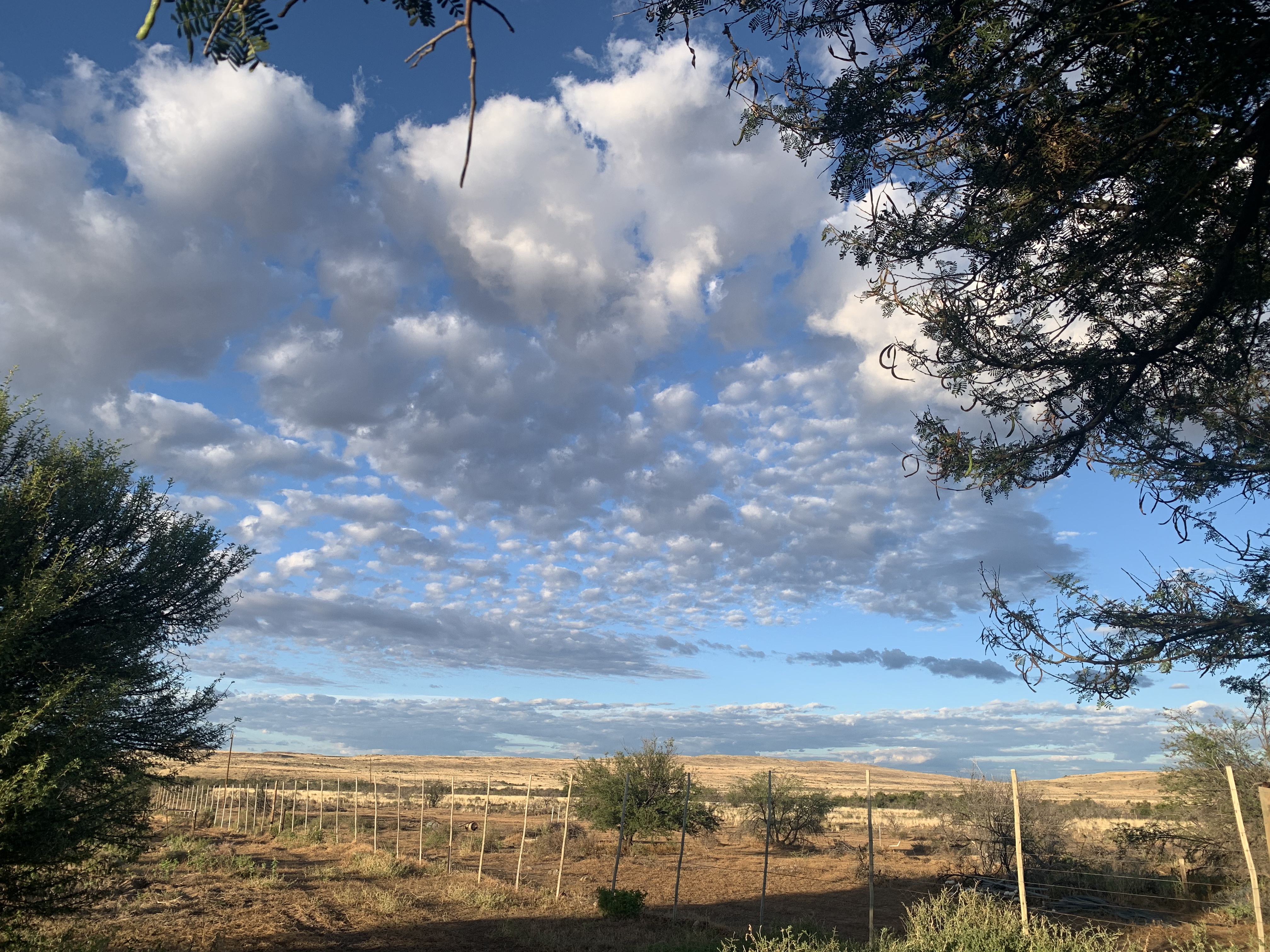
Our day started out beautifully. Middelplaas was still with puffy clouds in the sky with a magnificent sunrise. This lasted until about 8am when a stiff northerly wind came up and the temperature rose with the sun.

Seven out of our group of 11 had decided to leave early and take their time on the reasonably short 9km distance to Arendsnes camp where we would be sleeping in tents that night. The other four of us elected to stay at Middelplaas a few hours longer to enjoy the amenities (or. The pool, running water and electricity).
We probably should have left with the group knowing what we know now.
The wind blew and the day got hotter and hotter until eventually at 1.45pm we decided to head out for the hike to Arendsnes. The farmers son had come over to make sure that after we crossed the big riverbed, to turn right at the first Erdvark (Ardvark) sign and then follow along the river.
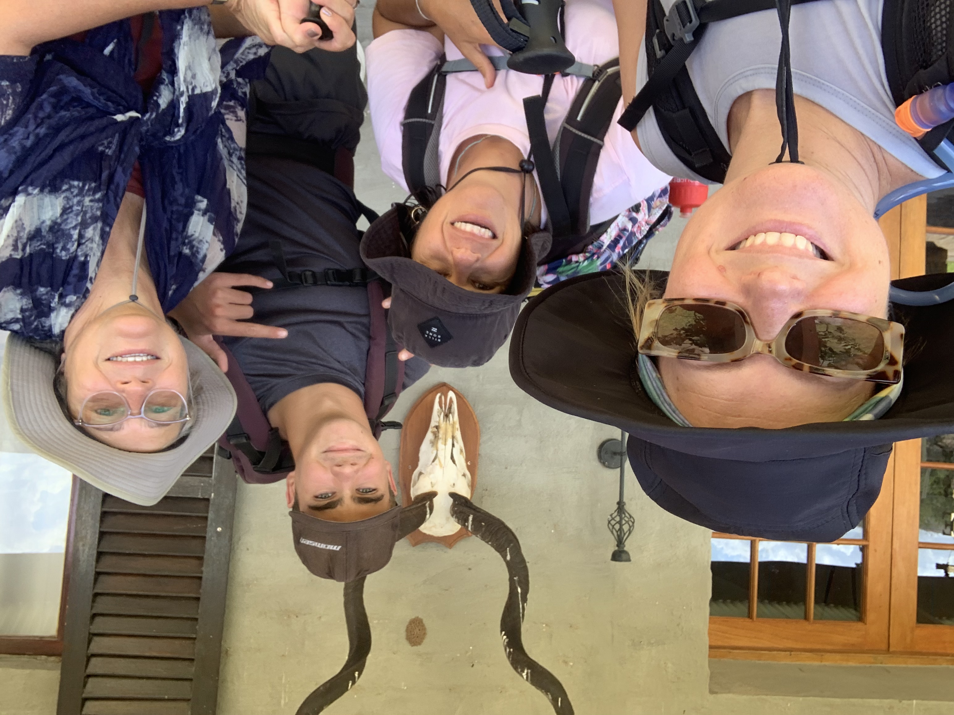
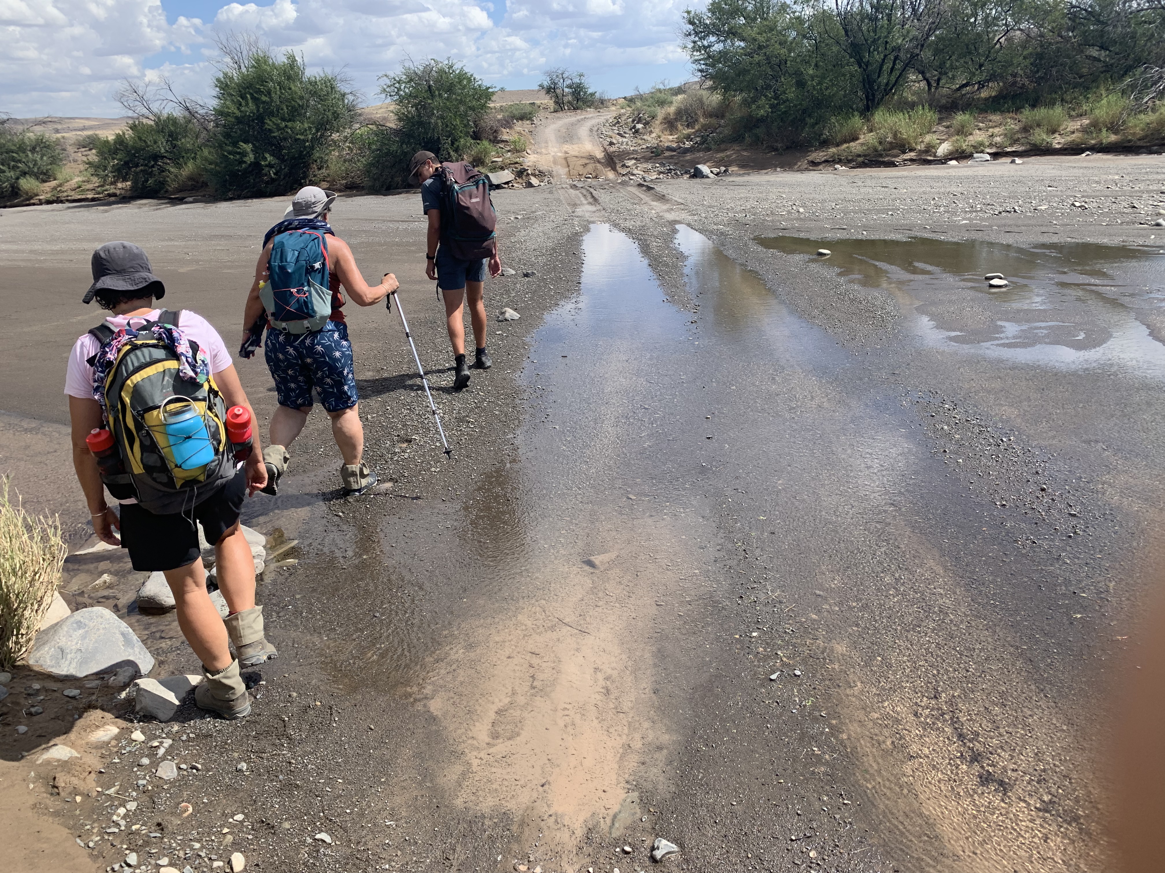
We did exactly as told (now knowing that it was to our detriment). Unfortunately going along the river was not the correct instructions for A-type people who will follow instructions to the T. As soon as we made that turn at the first edrvarkie we didn’t see any cairns or Erdvark signs. This should have been a huge clue!
It turns out we should have followed a diagonal from that very first Erdvark along the farm fence which would have lead us up to the plateau.

Not a good sign
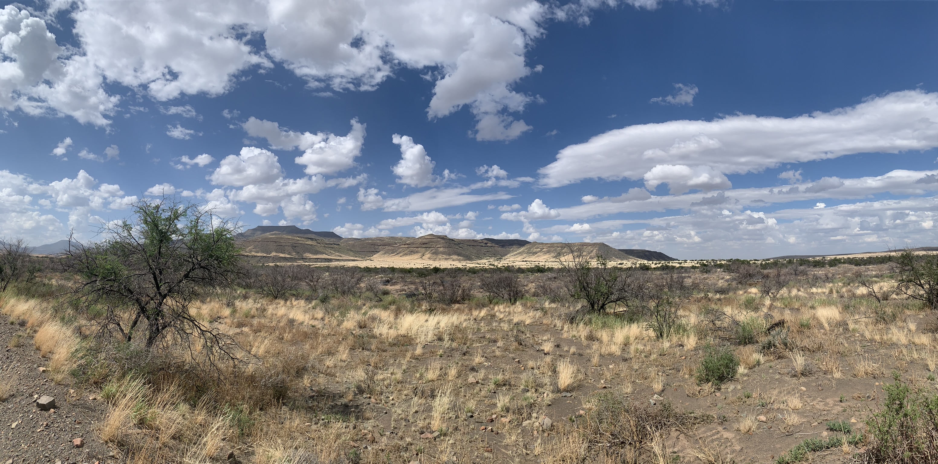
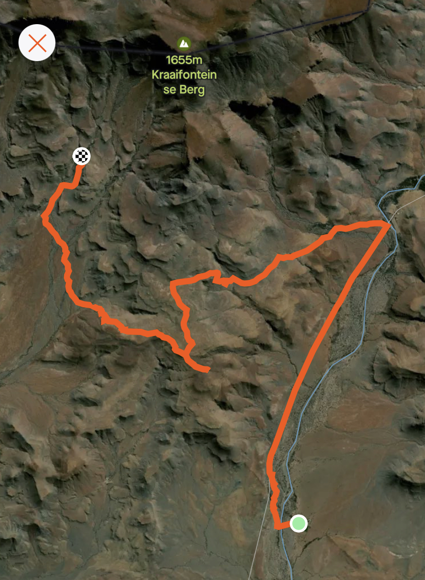
We, on the other hand, stuck to our instructions and continued in a fanned out fashion in search of cairns and signs that never materialised. We eventually found a Jeep track which matched up with our very crude map and decided that if we followed it, the would surely cut off the to the left at some point with a little Erdvark sign to show us the way.
Off we went, continuing into the unknown on our dirt path hoping for the best. We sang the first song that came into our heads and played the number game to pass the time as we marched quickly along the straight track with our eyes peeled for a path, a sign, anything! But nothing…
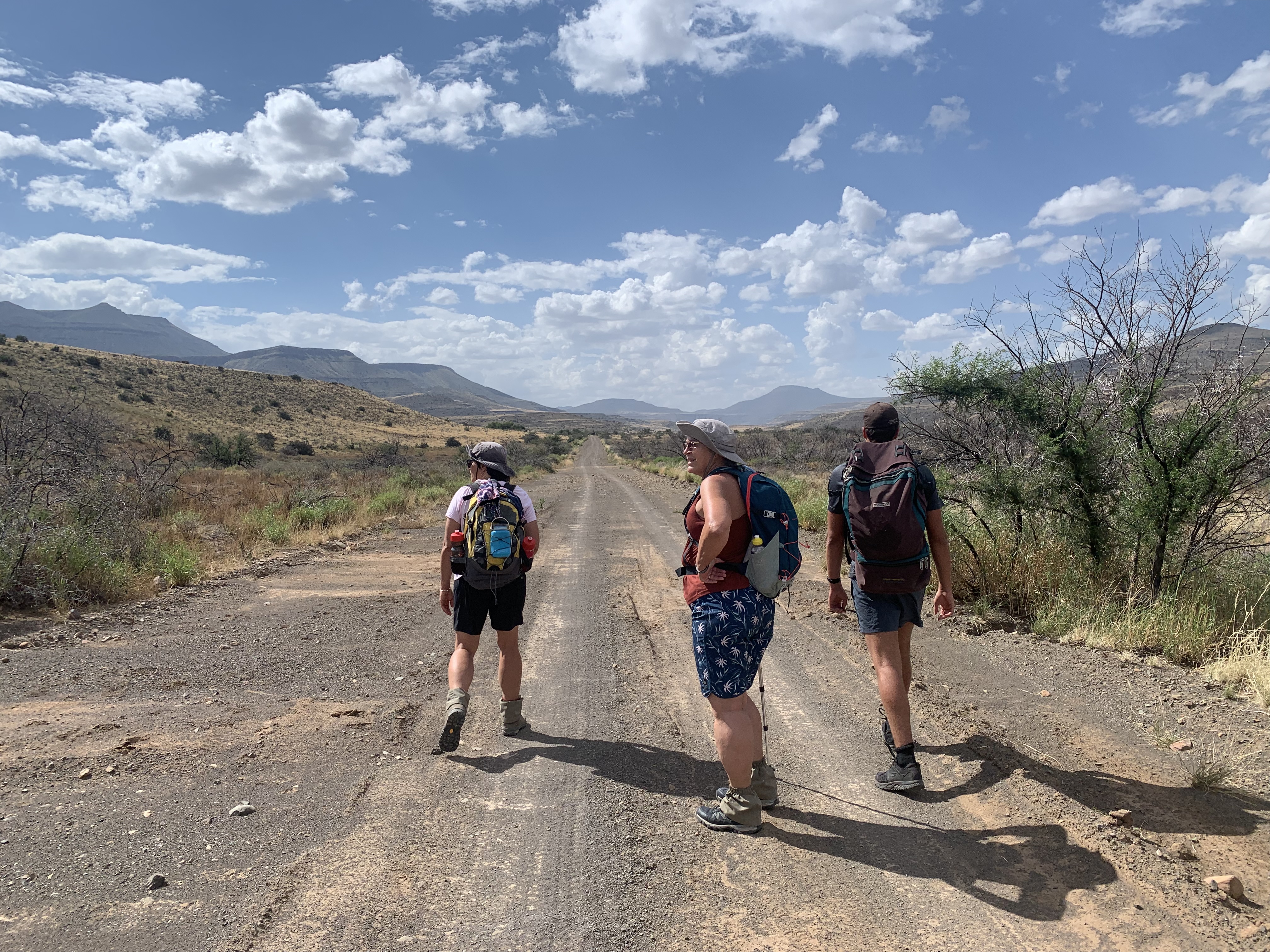
The wind dropped and the sky clouded over to a beautiful temperature with just the lightest breeze to keep us cool.
At the 4 kilometre mark we finally reached a sign which dropped our hearts into our socks. The sign said 1.3km to GROOTDROOM!!! With an arrow pointing up to the left. This would have been good news if Grootdroom was anywhere near Arendsnes, but we all knew that Grootdroom was actually our accommodation for NIGHT 4 not night 2.
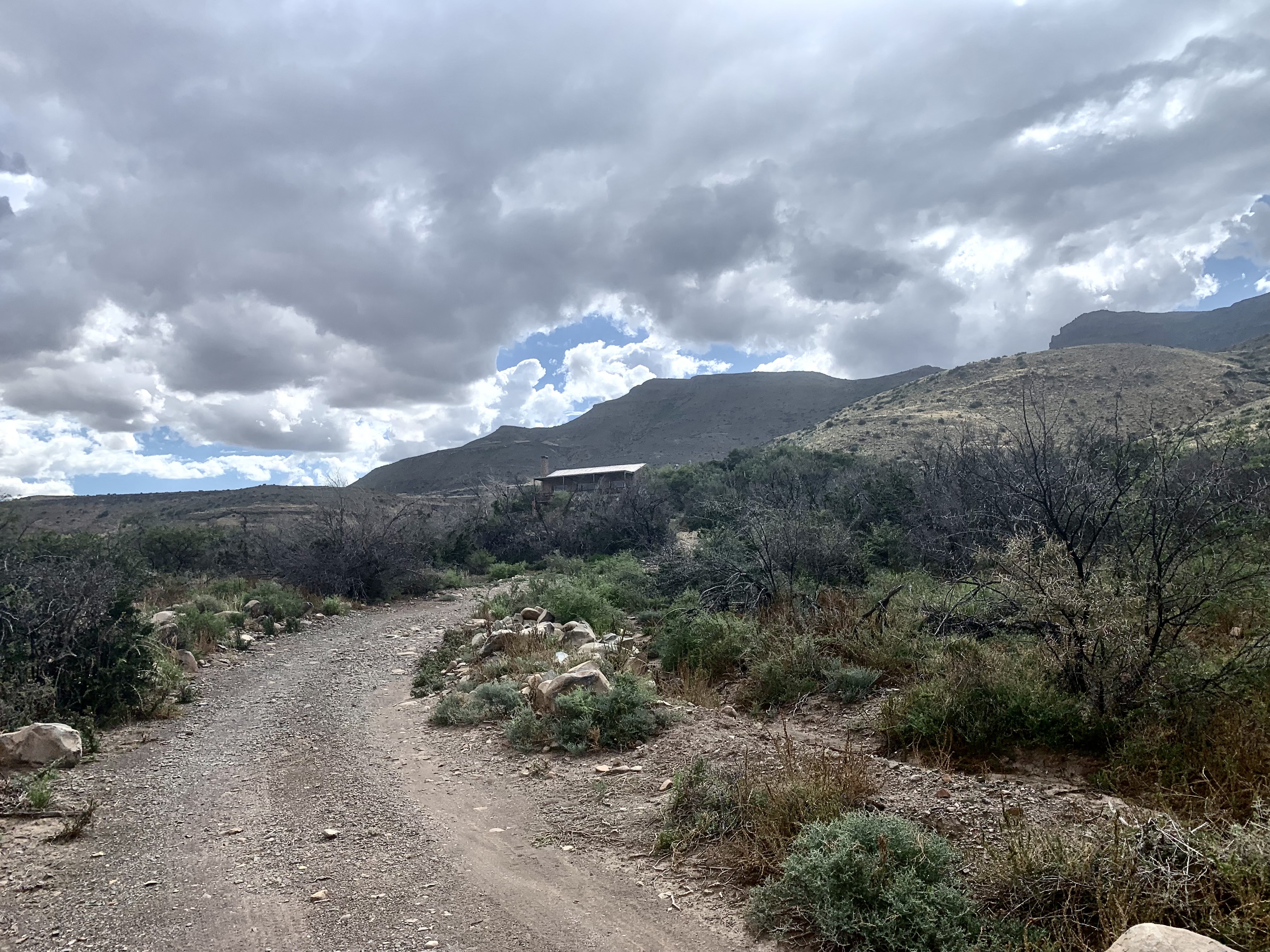
Grootdroom guesthouse in the distance
We had managed to bypass our path by almost 4kms. Now we had to figure how to make it to Arendsnes with no real map, no digital map as the area is not mapped for hiking and very
limited signage.
We knew that we needed to head up the ridge to the plateau and we knew that Arendsnes was on the other side of the plateau. So taking the track towards Grootdroom would have another Jeep track that would cut off in the direction that we needed to go.
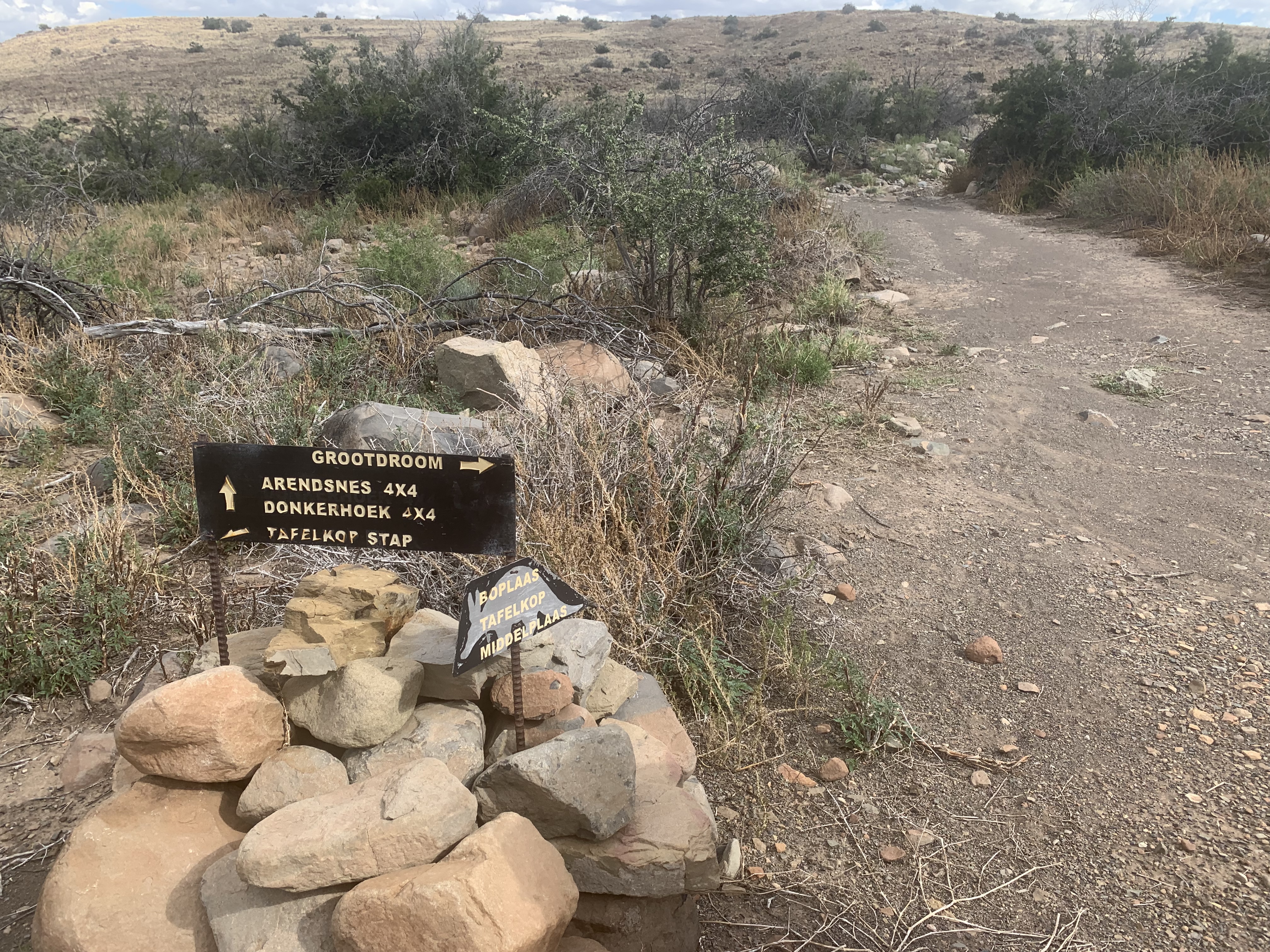
4x4 track to Arendsnes!
Sure enough, about 1km up the, almost to the doors of this lovely guesthouse, was a Jeep track labelled 4x4 to Arendsnes.
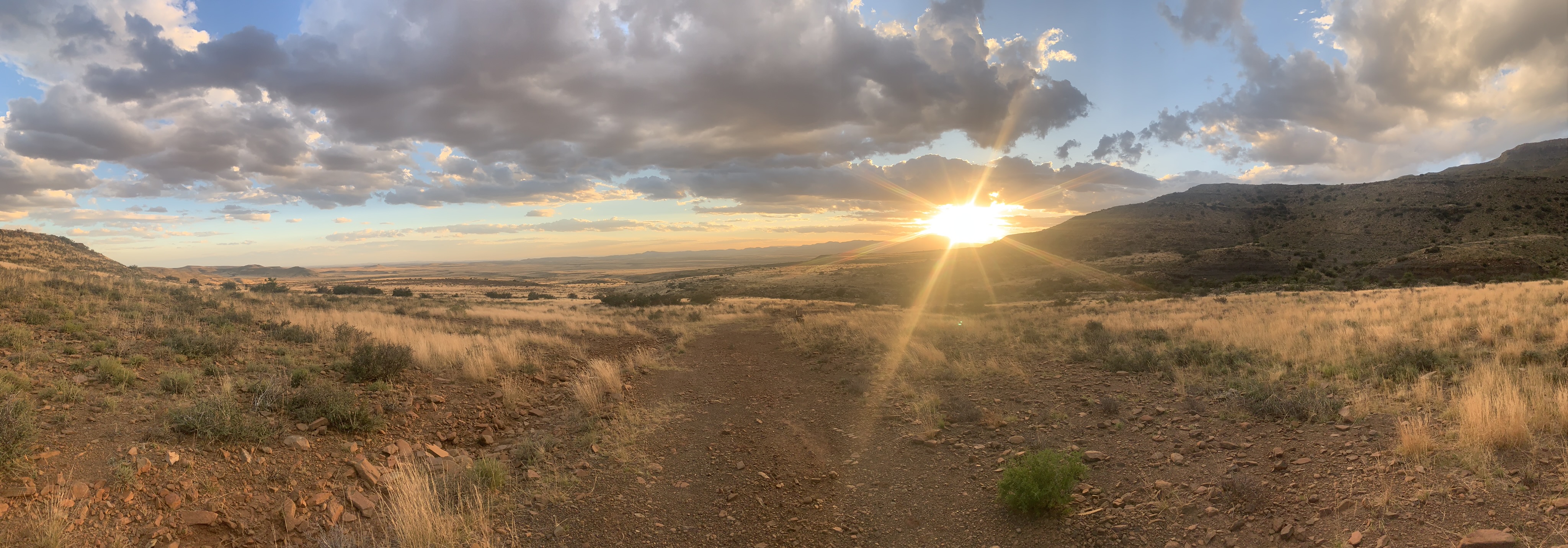
We cheered and immediately took off at a March up the track. We were confident that this would get us there and relaxed for a short while as we took it’s the magnificent views, clouds, mountains and scrubby flora of this dry land.
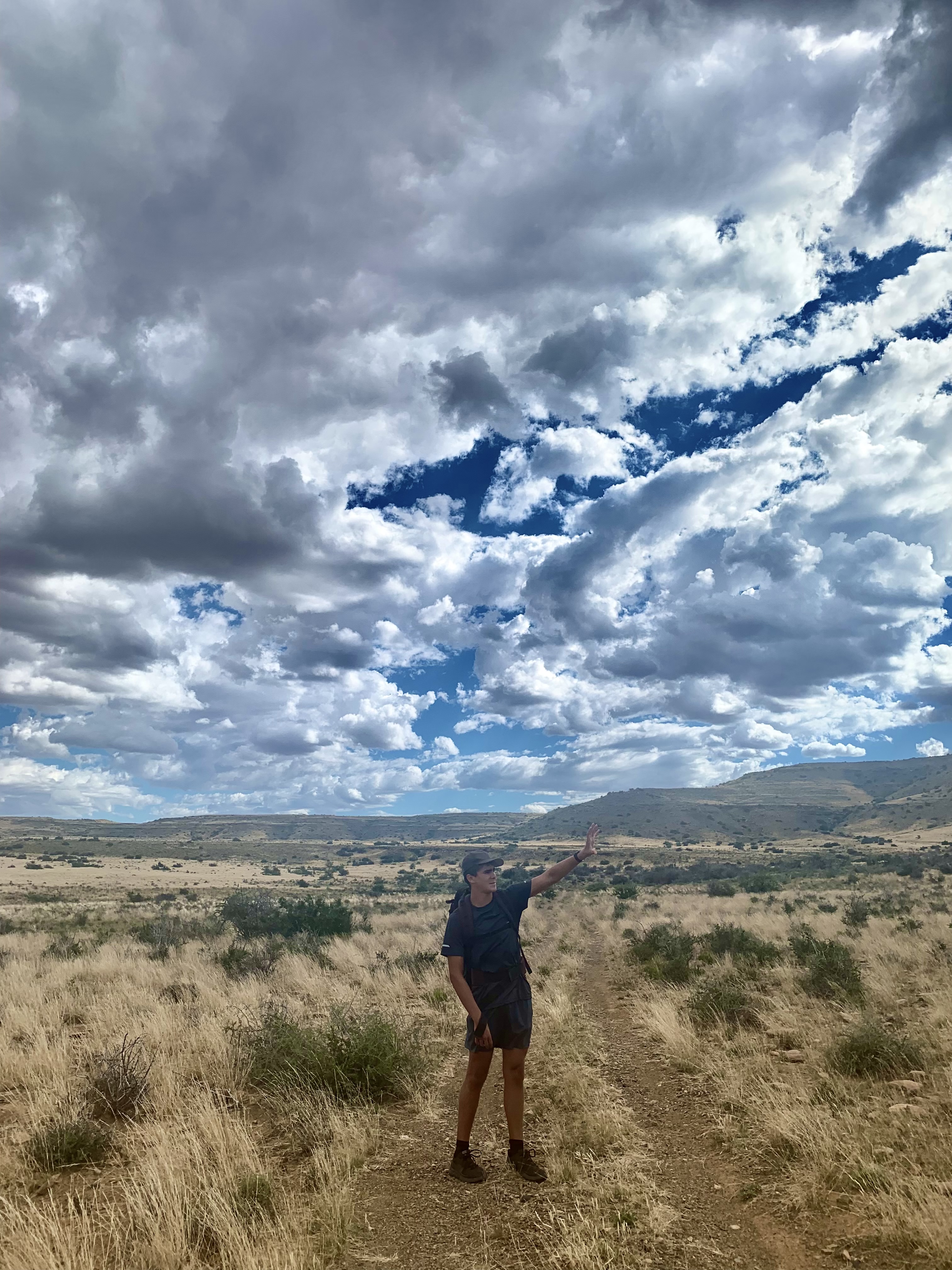
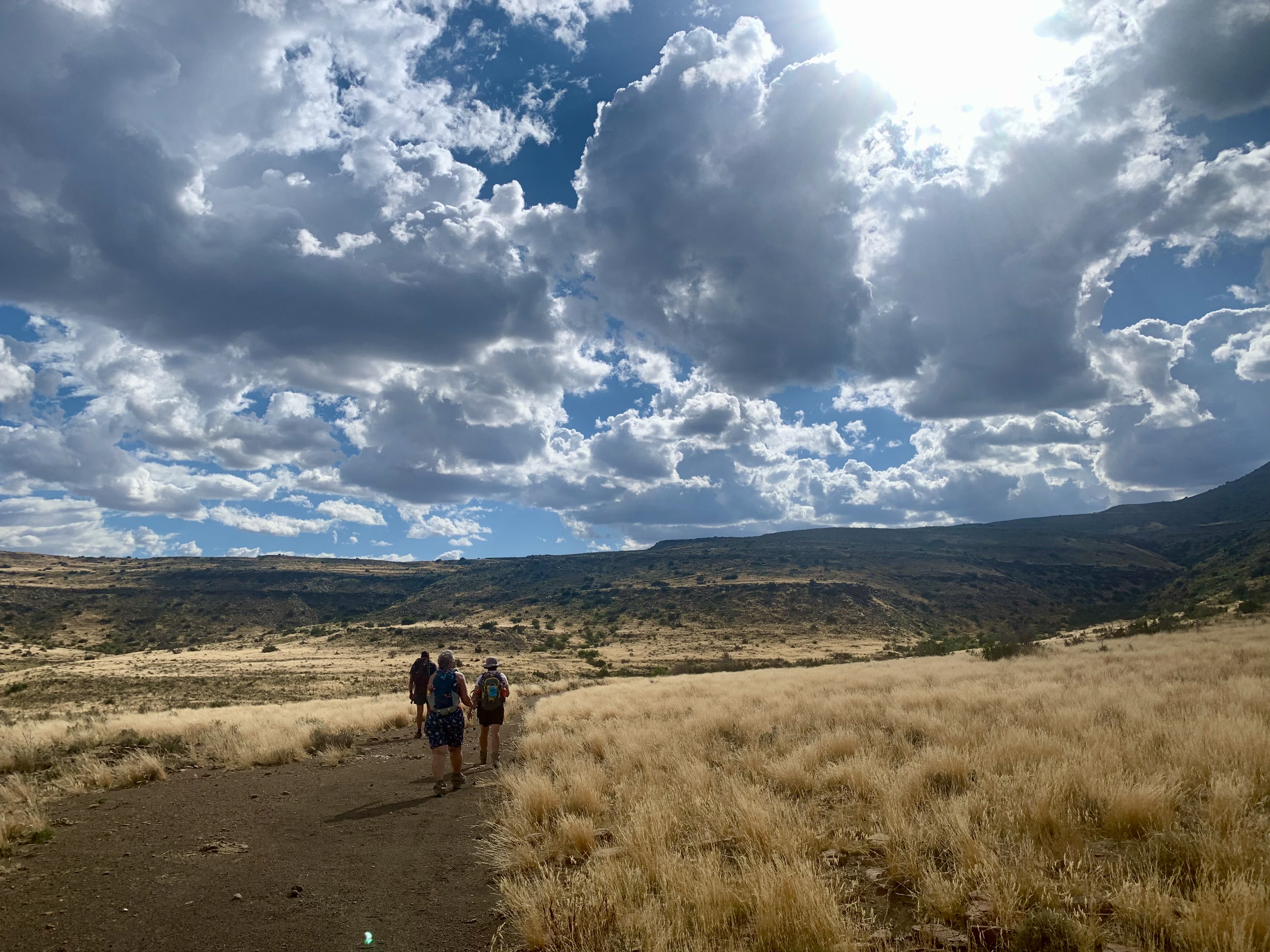
It really is something else… and if not for our “detour” I don’t know that we would have experienced anything quite like it. This exquisite lighting that transpired was incredible.
Our confidence was short lived as we reached a fork in the track with no signage. Once again the nerves kicked in. We decided to try one route which quickly faded into overgrown grass and then went back for the other steeper and more rocky route.
Charlie scrambled up ahead of us 3 ladies to scout out what was above and shouted down with a positive report of a good Jeep track, a fence and a clear view of the plateau that we were approaching. We were indeed heading in the right direction.
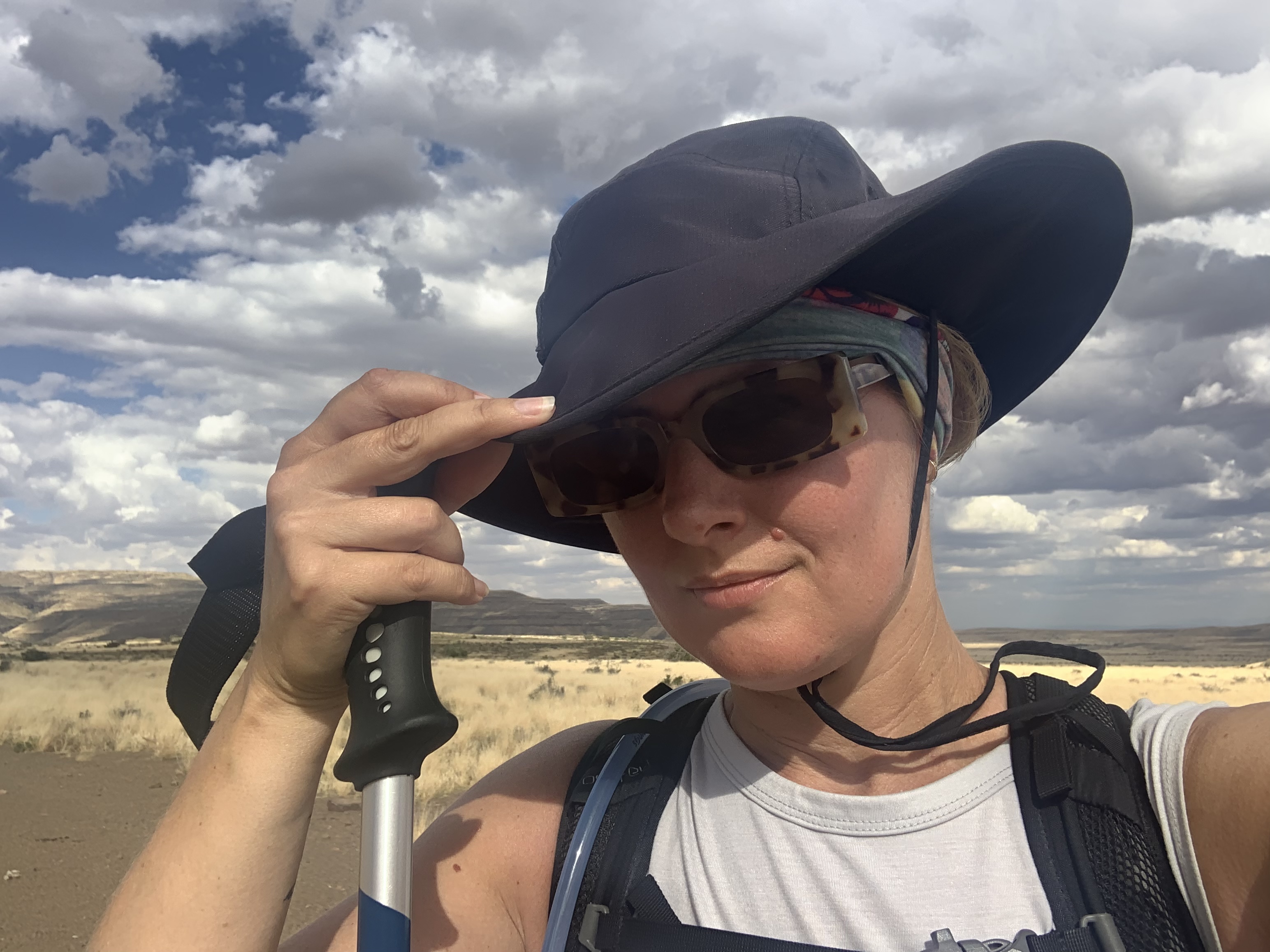
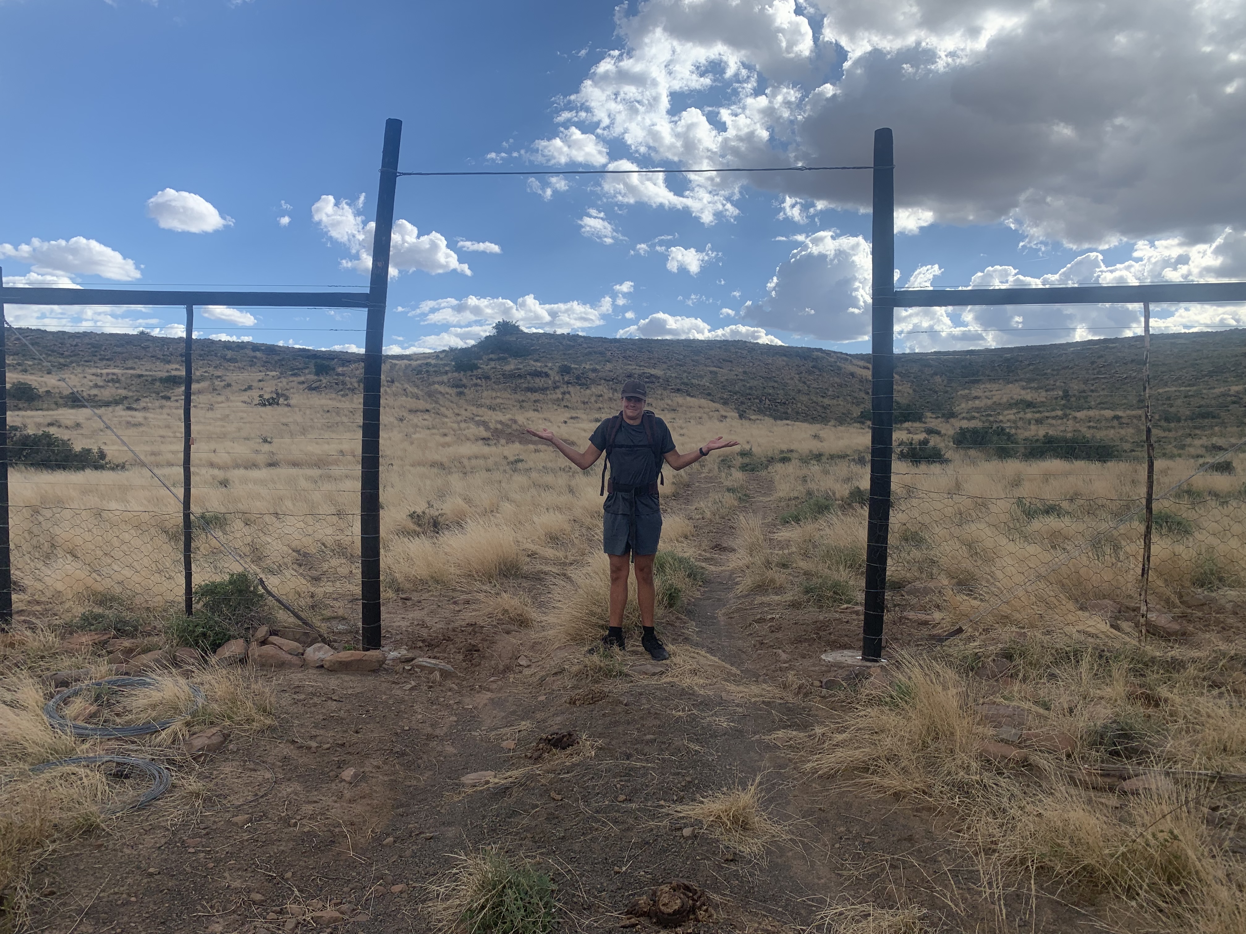
Up we scrambled to join him and then onwards we walked. Lucy and I tended to keep pace with each other while Rita followed a short distance behind. Rita didn’t mention it at the time but she later told me that she had been cringing the entire hike as my steel mug had been squeaking on a carabiner the whole time and driving her nuts! Good on ya for holding it together Rita! Although if you had mentioned it I could easily have stuck the mug in my daypack 😂.
The Jeep track lead us along the spine of the long plateau which seemed to keep going for about 3kms.
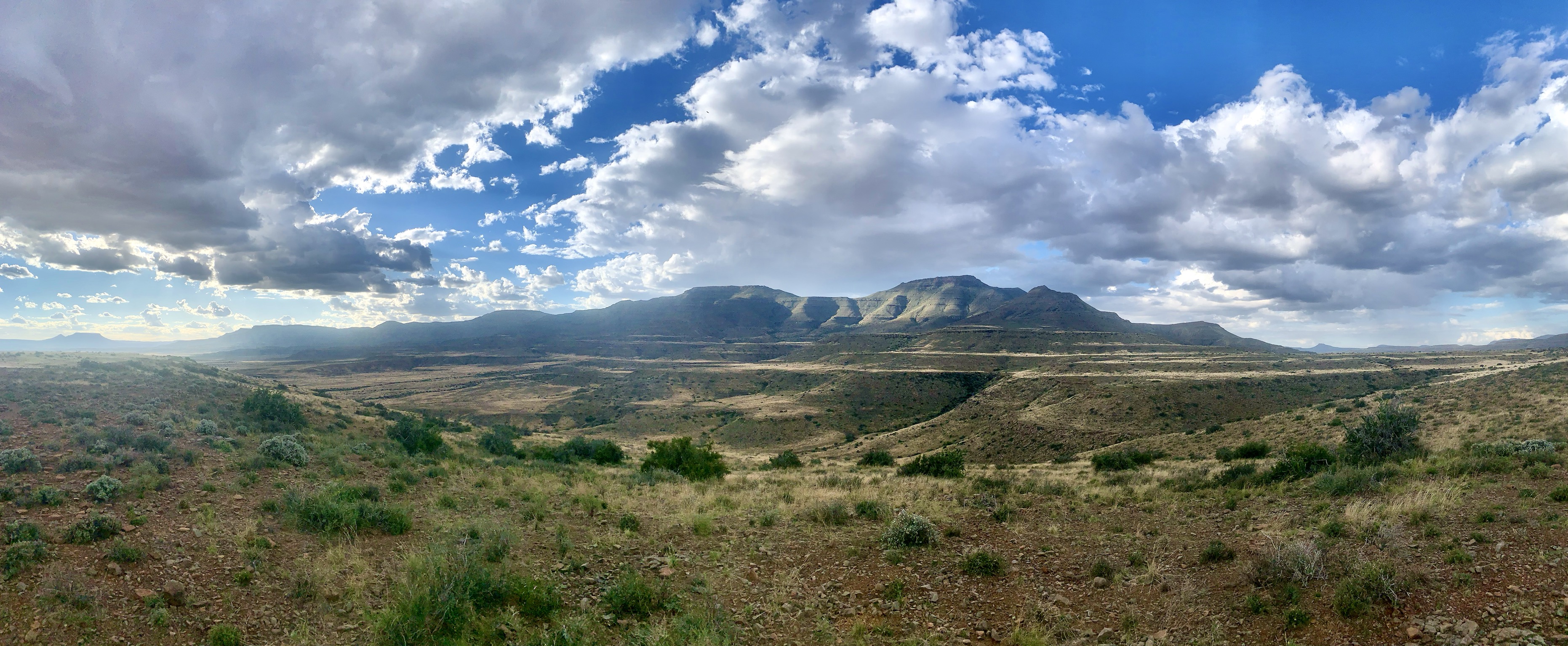
walking the spine of the plateau
This is when we eventually found a big pile of cairns and erdvarkies (Ardvark signs) but no label! Because we had gone to our night 4 Accomodation at Grootdroom, we now weren’t sure if this path would take us to Arendsnes or to our night 3 accommodation!??!! Why weren’t the paths labelled with a name?
We decided to continue on the Jeep track to scout out what was ahead and then if that didn’t look right, we would come back and try this single path with the cairns and erdvarkies.
Off we went and finally got phone signal as the track climbed a small hill. We all used the moments to message our loved ones (we hadn’t had signal since we had arrived on Saturday morning and it was now Monday afternoon). I managed to tell my husband that we had got lost, but we’re on a track that looked right. He knew we were alive and I told him not to worry.
Knowing where to get signal also gave us hope of being collected by Kobus, the farmer, if it started to get dark. We could explain where we were and send a WhatsApp location for him to get us.
The path ahead was a no go. Charlie, again, ran ahead and around the next bend looked down to see Middelplaas. As soon as he got back we knew that it was not right. The other path had to be right. Back we went to find the cairns and erdvark signs with no name.
We got to them quickly and 2 meters in I saw footprints. This was significant. The farm only has 1 group of hikers per week and it had rained heavily the previous few days. There was no way that there would still have been boot prints in the sand a whole week later. This HAD to be our group and the correct path. Hallelujah!!!!

Our confidence returned for a short while as we followed the path and the footprints along an outcrop where the path slowly dropped in elevation and the beautiful valleys came into view below us. The sun was getting lower in the sky and some nerves were beginning to show again.
The group stopped for a short break on the downward slope and I continued down in search of footprints and our tented camp. We thought we saw a building in the very far distance (which didn’t turn out to be anything) but the footprints, cairns and erdvarkies continued down into the valley.
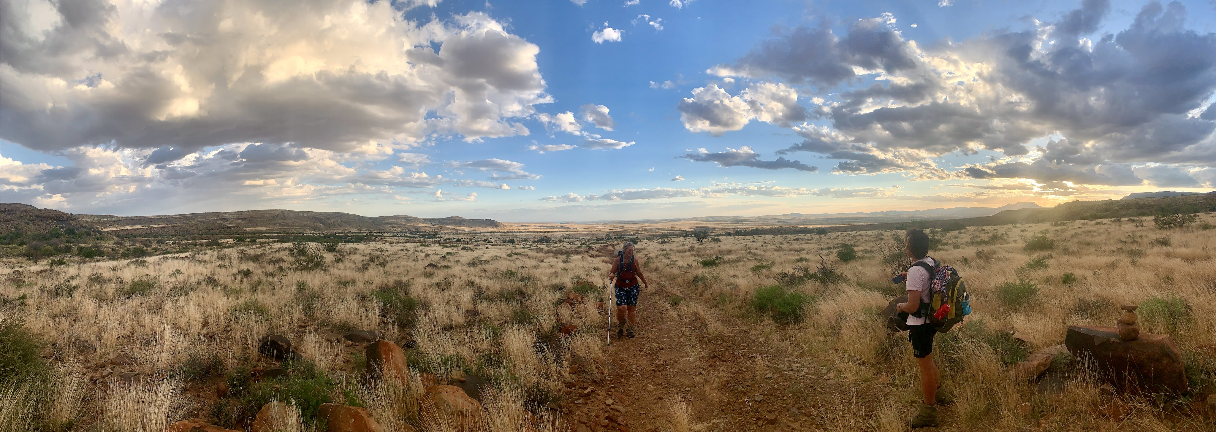
We crossed an almost dry riverbed and continued to a man made water dam that was teaming with footprints. Unfortunately all the footprints went all over the place on various directions! We all scout and Charlie once again found the cairns and erdvarkies on the other side of a tree towards another dry riverbed.
I was adamant that we needed to keep moving quickly as the sun dropped lower and lower towards the horizon. The walking was beautiful… although fraught with nerves of “what ifs”.
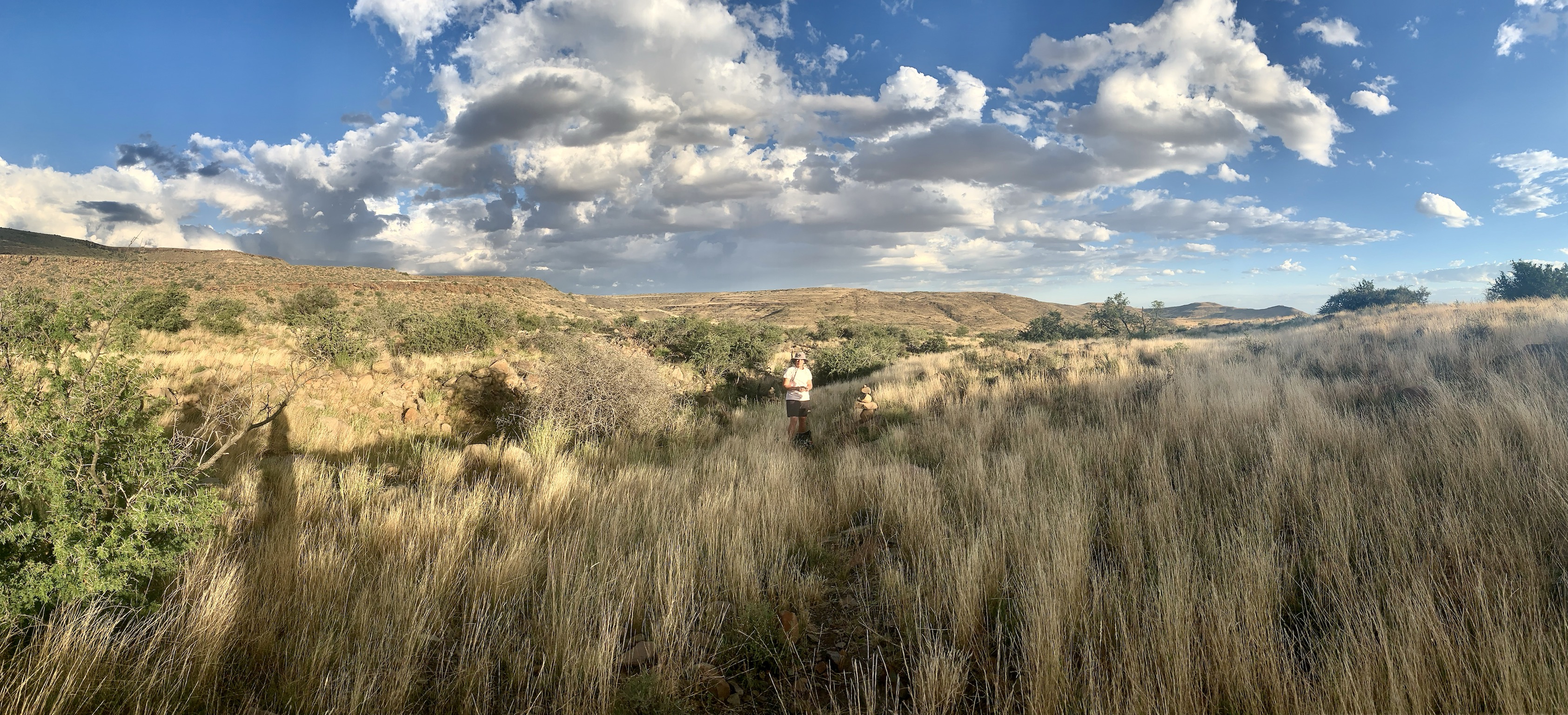
At some points the cairns got lost amongst the long grasses and became hard to find when the terrain looked more like a pile of rocks in a garden of rocks.
We followed to riverbed and the cairns with a warm glow around us as we looked up and about 2 kilometres in the distance, wedged into the slopes of the plateau, was the steel structure that covered our tents. We screamed with joy at each other and relaxed a tiny bit knowing that we would make it before the absolute night.
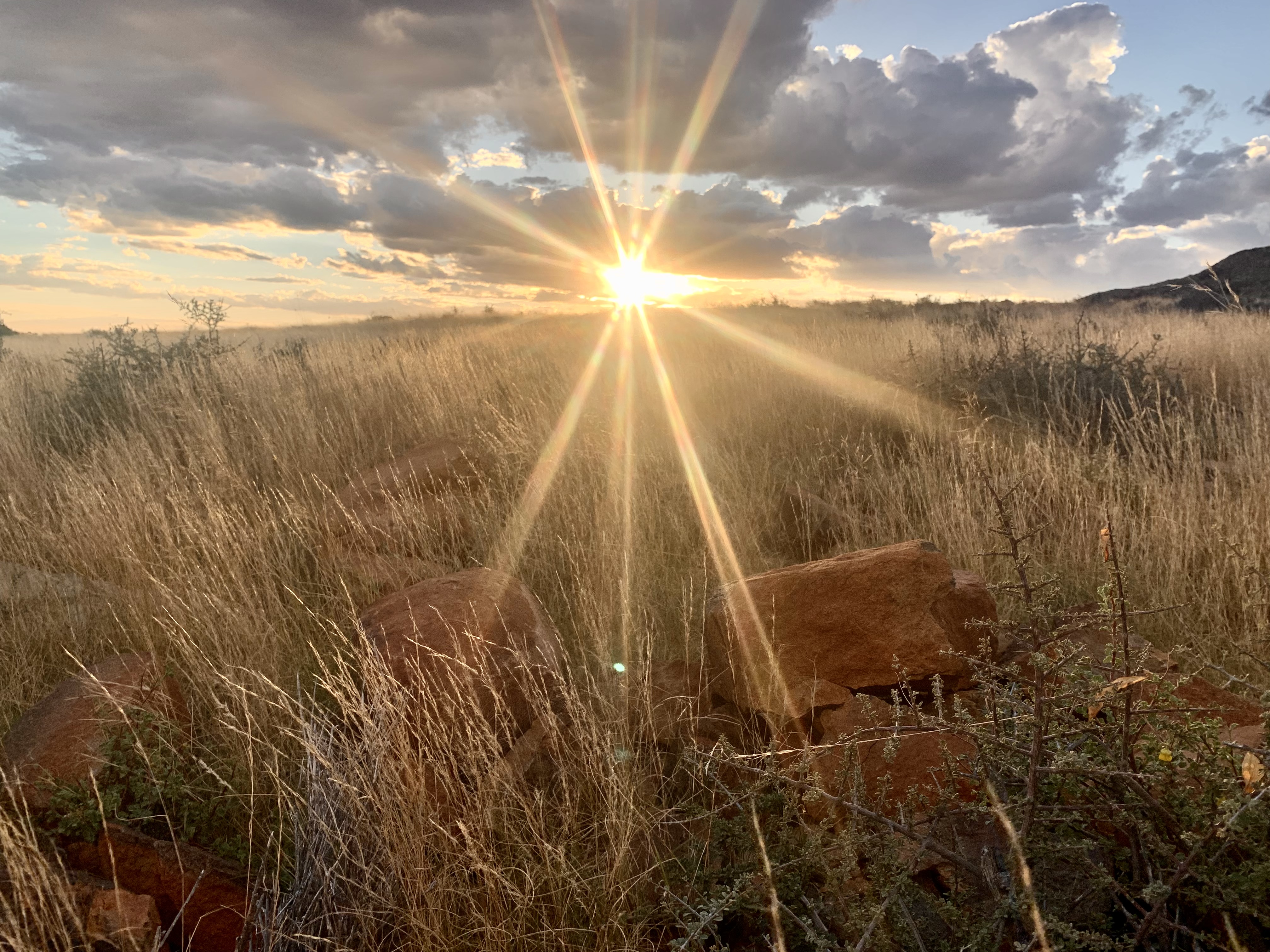
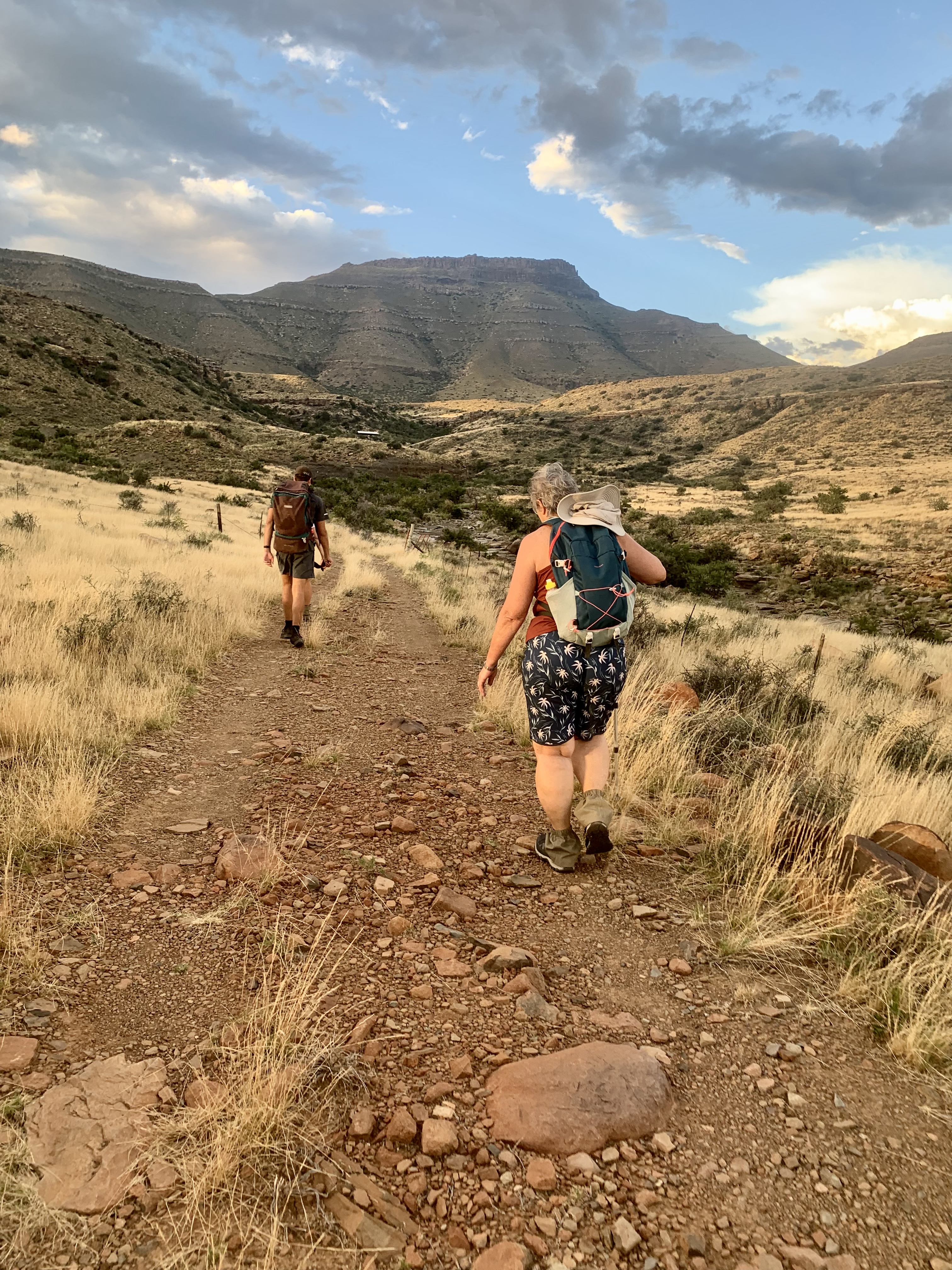
We marched the last 2 kilometres as the sun magnificently kissed the earth.
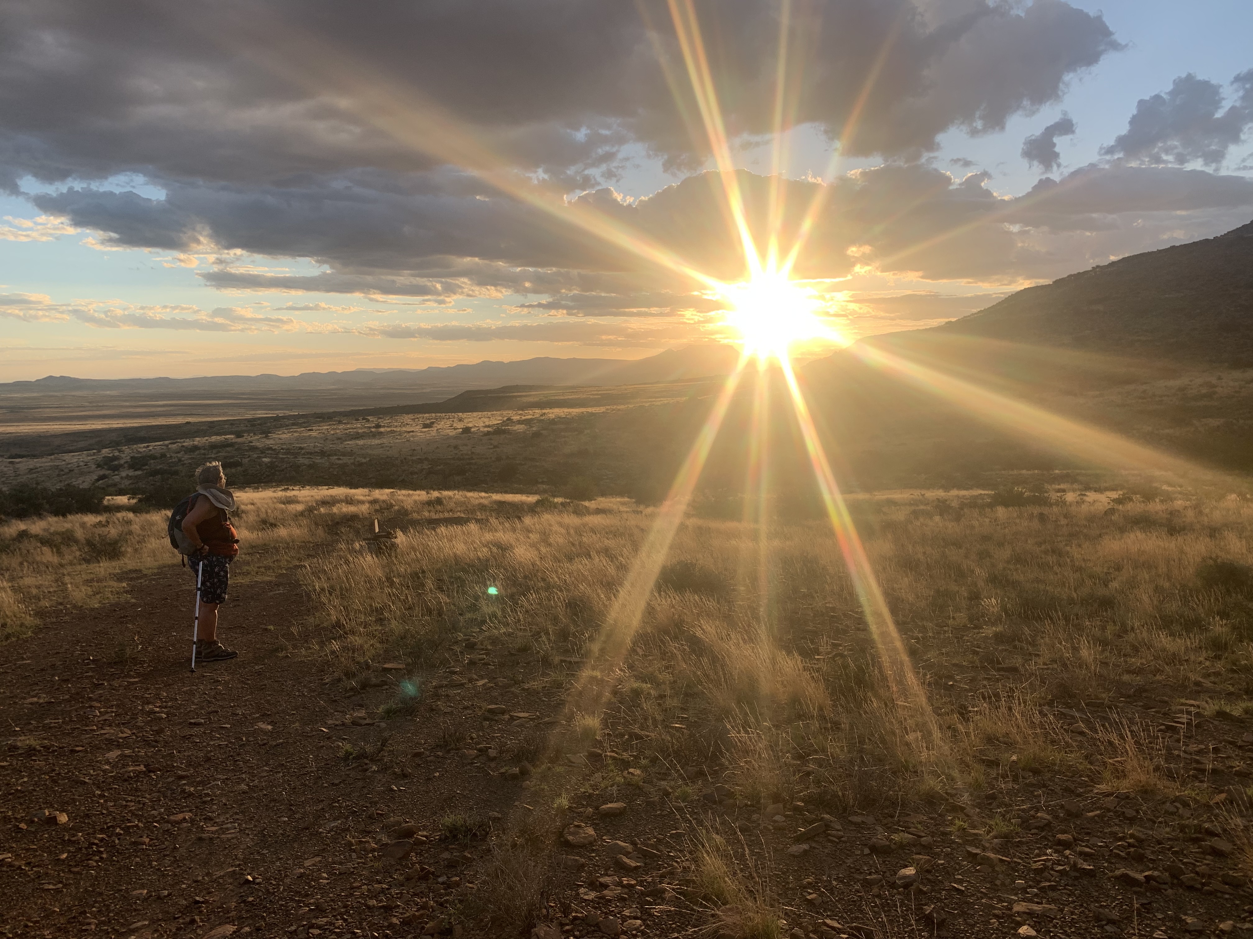
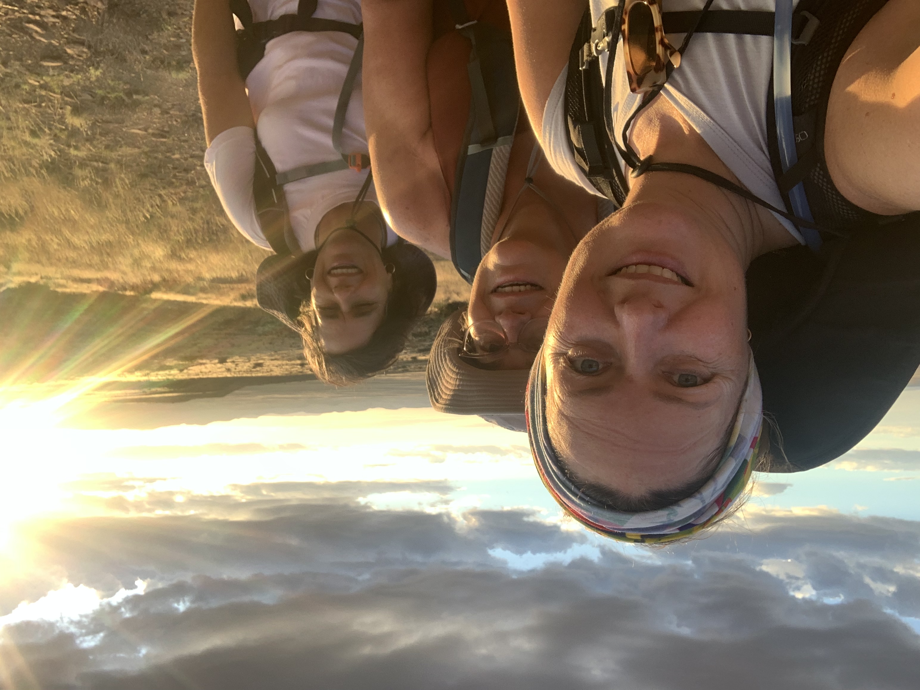
We celebrated together on the final climb to the tents as Charlie ran ahead anxious to see his family.
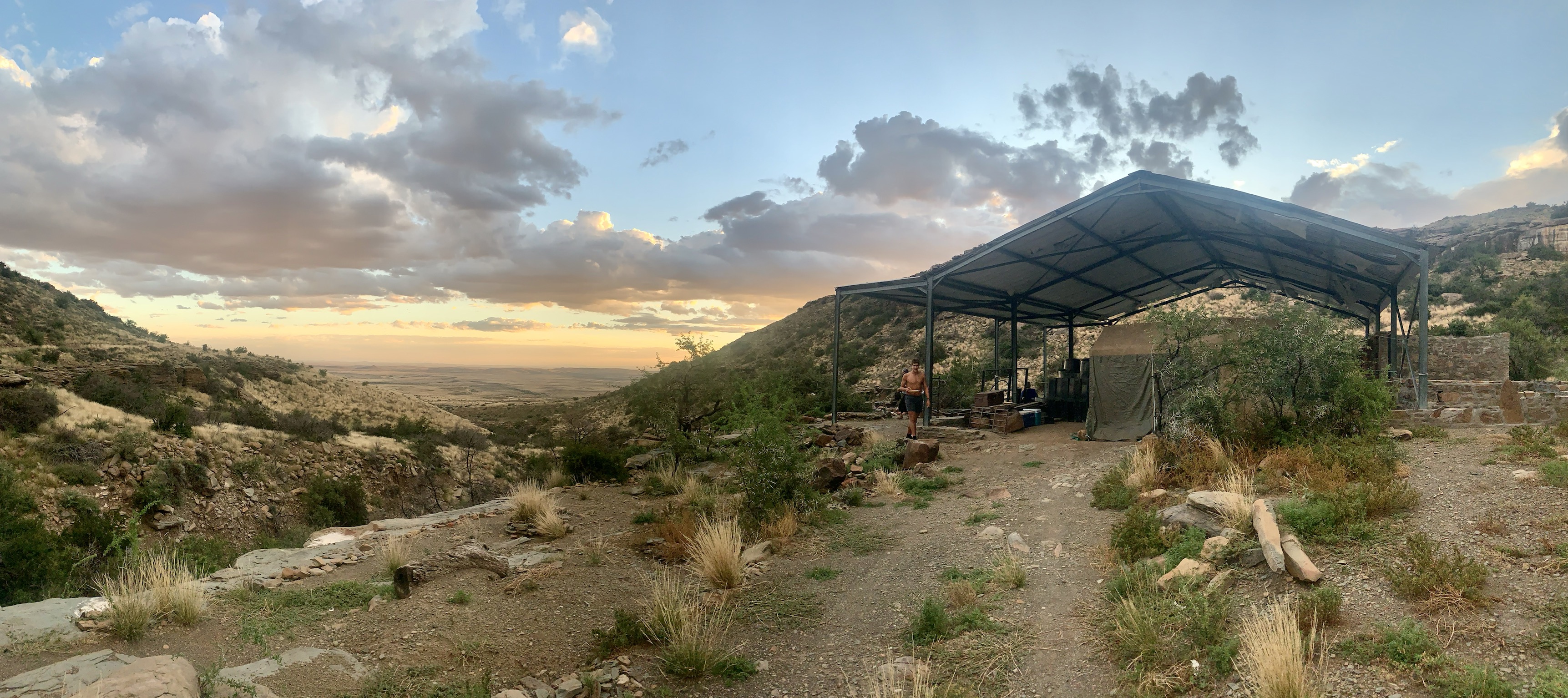
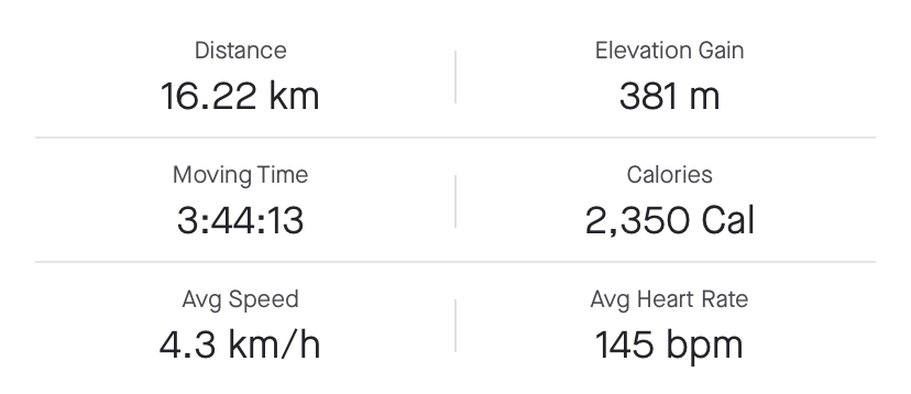
We walked into camp frayed yet exhilarated. We had made it to Arendsnes using our sense of direction and the limited knowledge of the area. The hike according to the map should have been 9.5km which our fellow hikers said was actually closer to 12.5kms. We had done the long and scenic “detour” and managed to cover 16kms in just 4 hours!
Exhausted we got some food on the fire, a hot cup of tea, and got our boots off as fast as we could.
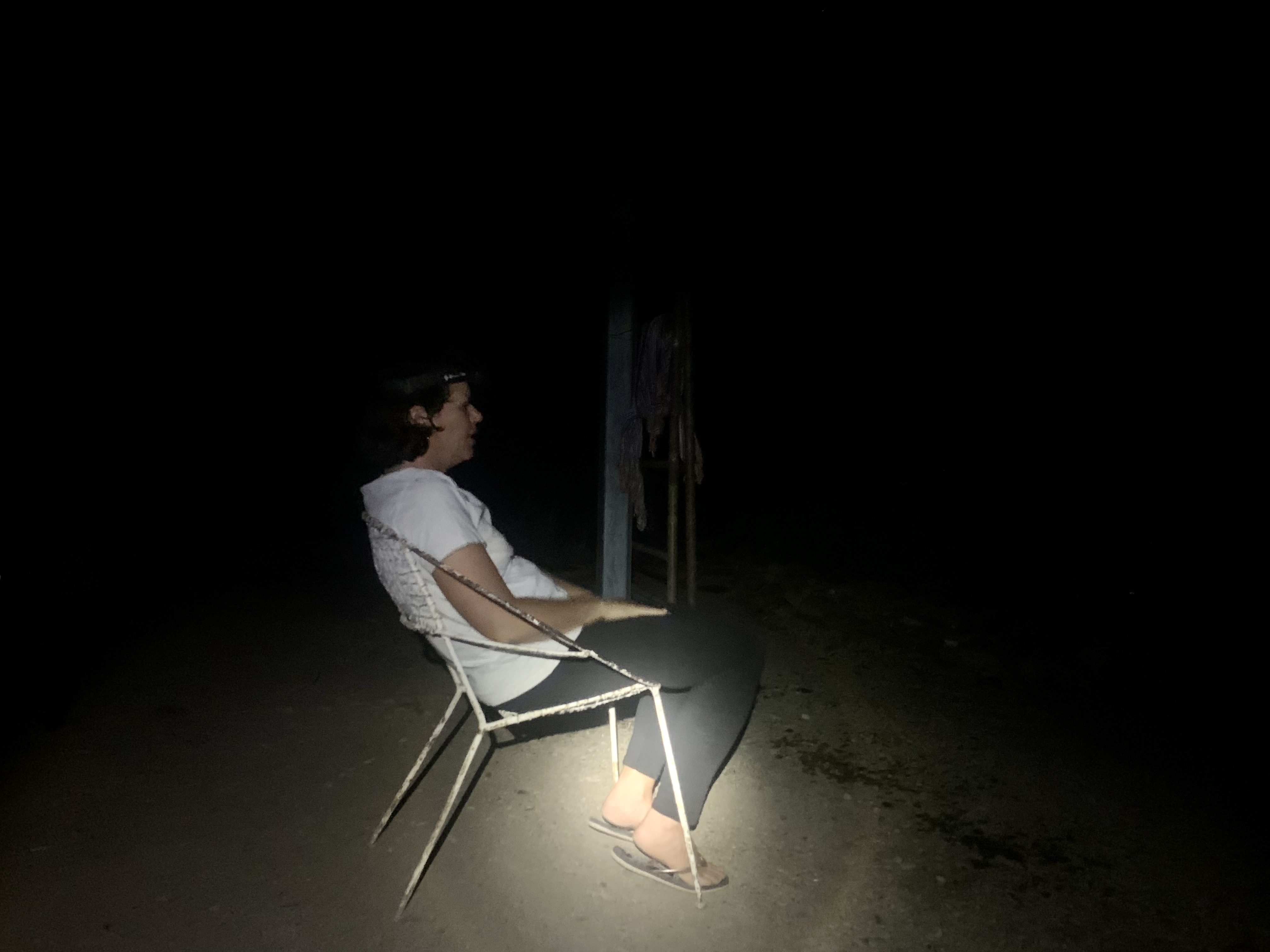
We thought we would sleep well that night after our crazy adventure, but little did we know that a thunderstorm would roll in and keep everyone up most of the night.
Only day 2 and we had already had so many adventures. Our little team of misfits got the name TEAM B from then on and decided that we could probably survive anything after the previous days adventure.
From this moment on the entire group stayed close, with no one wandering off and the oldest of our group took a firm lead the following day.
I’ll post about that incredibly spectacular day another time so watch this space for more soon.

The images are incredible. Thank you for sharing your experience with us, and please stay safe.
Congratulations, your post has been added to Pinmapple! 🎉🥳🍍
Did you know you have your own profile map?
And every post has their own map too!
Want to have your post on the map too?
Thank you!
nice sharing
Thanks! It was quite an experience.
I know how annoying might be to follow a wrong path due to bad indications because we've often been in the same situation but in the end they all contribute to nice stories and experiences that won't be forgotten :) but as you said, that set of bones didn't look too well or fun, lol
Thanks! I’d love to go back and do the proper route which I’m sure was beautiful too. Maybe one day I’ll get there again. Yup! The bones were a little disheartening 😳
nice place for Hiking adventure
It’s the kind of terrain where it feels like everything wants to kill you 😂. Rocks, thorns, no water, and snakes (but we didn’t actually see many). But I’d go back any day!
Woohh thats kind of interesting trail..
This is a beautiful experience one wishes to have. So much in love with hiking 😍.
@zo3d I am glad you shared your experience with us. Enjoy yourself 🤗
Thanks! There were 3 more days of hiking after this so I’ll post them in the next couple days or so. The next days rock formations were spectacular!
Wow 🥰
This is great 👍 to hear 😊
Such a nice time!
Hiking in this area is a real adventure through some amazing landscapes.