Hello everyone!
Join me as I recount the most brutal 72 hours of my life. This part might not yet be as brutal compared to the second and third parts, but it's necessary to establish the series of events up to the moment when I can't walk anymore. Watch out for that part.
I usually post my travels months or even years after the travel date because I wanted my friends (who are also Hivers) to post first or I'm just procrastinating. But not this one. I would have wanted to post this while the scratches, bites from mosquitoes and leeches, and memories are still fresh, but you know me. This is the best I can do for now.
I wanted to be as detailed as possible about this one because this climb changed my views about mountaineering. I've been to the highest mountain in the Philippines, but I was not mentally prepared for this. Now I'm wondering if I'm really a seasoned mountaineer or if I'm still an amateur pretending to be something I'm not.
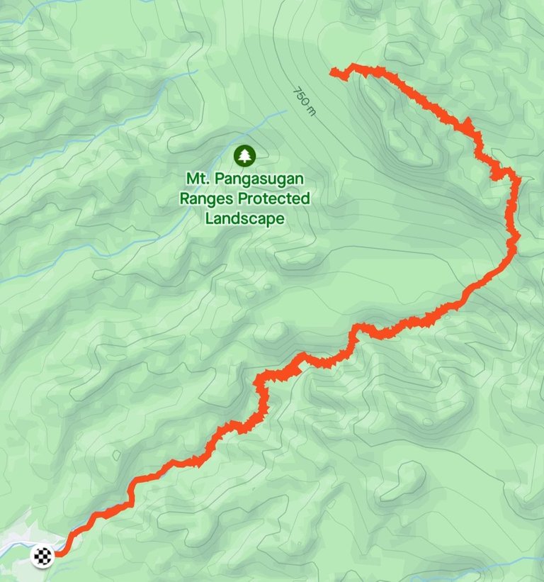
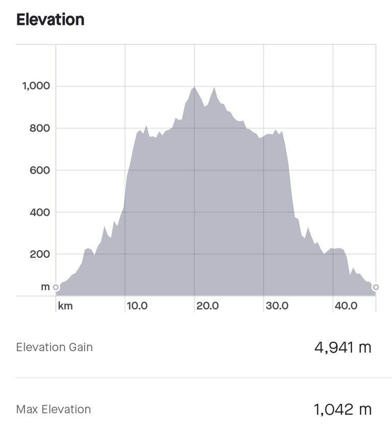
Ever heard of Mt. Pangasugan? Don't worry. I have no idea either that the mountain exists in the province of Leyte. I only heard about Mt. Aminduen's Alto Peak in Ormoc, the highest mountain in Eastern Visayas. Mt. Pangasugan is located in Baybay City, just a town away from Ormoc. It's just standing at a mere 1,150 MASL, but for some reason, I never heard of it from my mountaineer friends until there was a plan to climb it. When I posted a story on Instagram that I'll be going to Leyte, my friends there never even heard about that mountain. It's strange but there's a good reason for that. The mountain is not for beginners and only a few reached its summit. It's densely vegetated and very steep. It's a home of leeches, pit vipers, and ticks, aside from countless animals and plant species.
Climbing a mountain has its inherent risks. You have to be physically and mentally fit to endure the challenges ahead of you because you must sacrifice most of your comforts to reach the summit. That's why it's not for everyone. Only those who are willing to give up their comforts until there's nothing left but survival can be rewarded by the beauty of what's up there. But not all mountains are created the same. Just because it's the highest doesn't mean it's the most difficult to climb. I learned this the hard way when we climbed Mt. Pangasugan last May 12-14, 2023.
I'm now safe and fully recovered from that humbling experience. Else, I won't be able to chronicle and upload this post for you to read. There might be some sort of premonition about this climb that I ignored, but maybe it's too late for that. I'll just tell my story to serve as a lesson for everyone, including my future self, not to ignore the signs and to be always prepared for the worst.
Let's start with the planning of this climb.
Planning and Anticipation
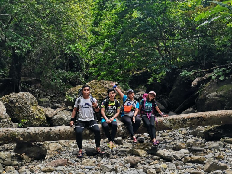
Shiela, the leader of the group, made a new group chat on April 21 just for this event. That's what we always do: create a new group chat for every mountain that we planned to climb. I had a different climb on April 27-30 with a different group, so I was a little bit confident that I could surpass whatever challenge I faced in this climb. The other climb was Mt. Talinis, the mountain I've been dreaming to climb since I was young. I haven't really got into the details of that climb, but I find it an easy climb even if most of the climbers would say Mt. Talinis is a difficult mountain to climb.
So I made Mt. Talinis as a pre-climb for Mt. Pangasugan since there was just two weeks gap between climbs. I got confident because I watched videos on YouTube about other people's climb to Mt. Pangasugan. The elevation is just manageable. Or so I thought.

A week before the climb, there were emergencies in the participants that prompted them to back out. One thing I noticed about events is that once one will back out, some of the friends will follow. True enough, more and more people backed out until there were only four left committed to pushing through with the climb. I was one of the four.
Even if I should have considered it as a premonition, my reasons not to back out were stronger at that time. One, it would be my first time in the province of Leyte. There were a lot of plans before, but nothing come to fruition. If I would back out, it might take years before I can finally set foot in the province. Two, it would be my first time camping using a hammock. We were warned not to bring a tent because there was no space where we could pitch there. I bought a new hammock because I was really excited about the experience.
Preparation
It was not a hosted climb. Meaning, we have to do everything ourselves, but we have a guide and a porter. Most of my major climbs are hosted, so I find cooking our meals tedious. Since there was no hosted climb in Leyte, we didn't have a choice. We bought everything here in Cebu and I'm just thankful for Alton who volunteered to carry the extra bag.
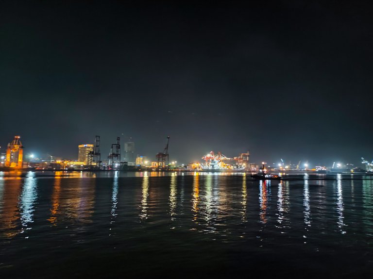
We left Cebu via a slow boat on a Thursday night to arrive early in the morning in Leyte. Since Shiela is based in Leyte, only Alton, Marj, and I started the trip in Cebu. There was nothing to note about the boat trip. It was sort of a calm before the storm. We arrived in Baybay City at around 3:00 AM. We stayed on the boat until sunrise. Again, it was a very calm Friday morning.
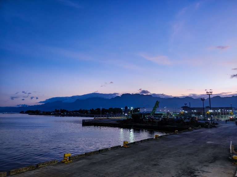
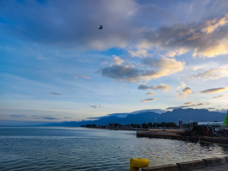
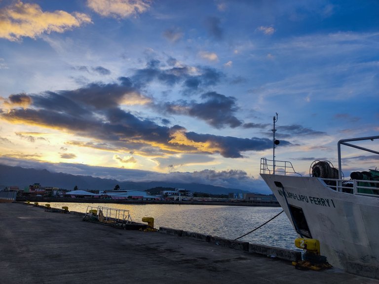
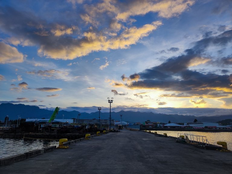
I got so excited because it was my first time setting foot in the province. We met with Shiela at the terminal, had breakfast, bought something for lunch, and then rode a jeepney to the junction going to Sitio Cienda. From the junction, we hired motorcycles to bring us to the nursery which also serves as a jump-off of the climb.
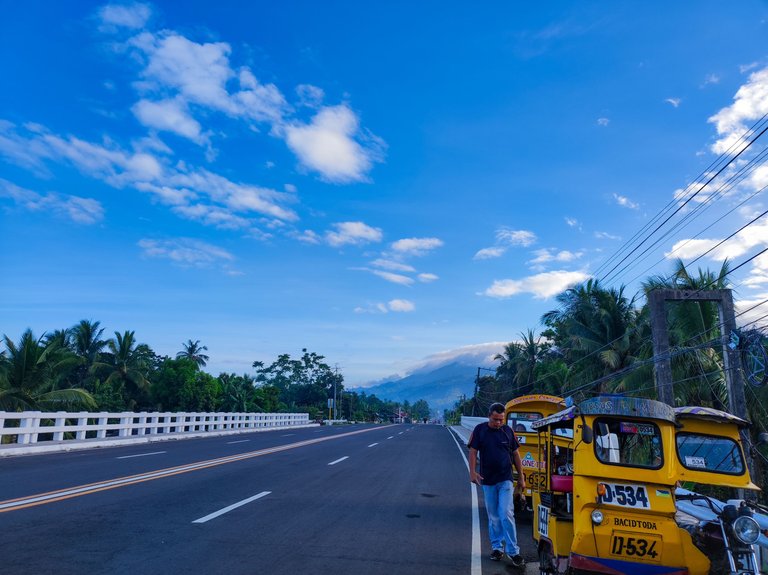
We arrived early at the nursery, so we waited for our guide and porter because their agreement with Shiela was at around 7:30 AM. We logged in at the nursery and paid Php 100.00 for the environmental fee and barangay fee or something. We also signed a waiver that basically absolved the guide and everyone of any liability in case something happens to us at the mountain. There were a lot of risks listed and it basically stated we joined in our free will. With the waiver signed, it basically stated we were on our own.
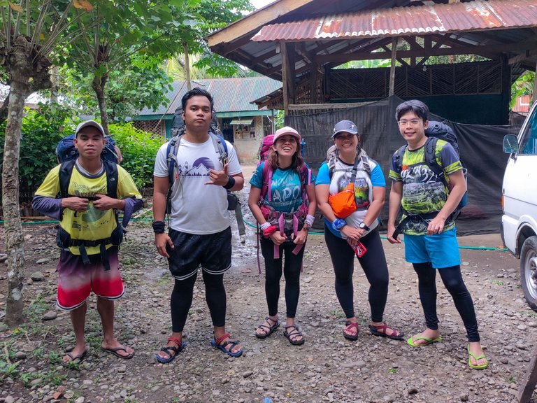
I can't remember if we had a briefing. The guide just told us that we would be having an unlimited river trek until we reach the campsite. He said it would probably take us five to six hours, depending on our pacing. After everything has been prepared, we started our hike for the day.
Unlimited River Trek

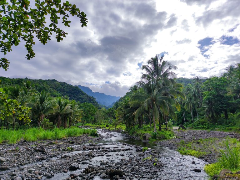
We started the trek at around 8:00 AM. It was easy at first. We just followed a path on a rocky bank of the river. We passed by some banyan trees along the river.
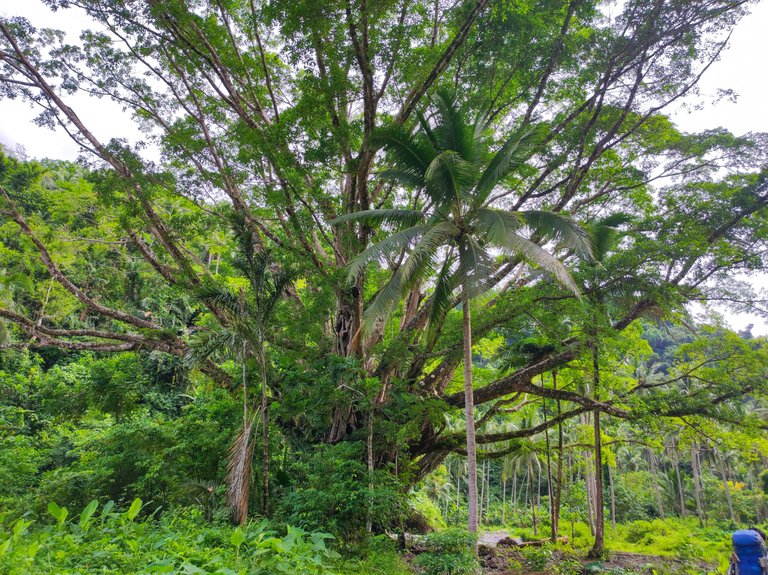
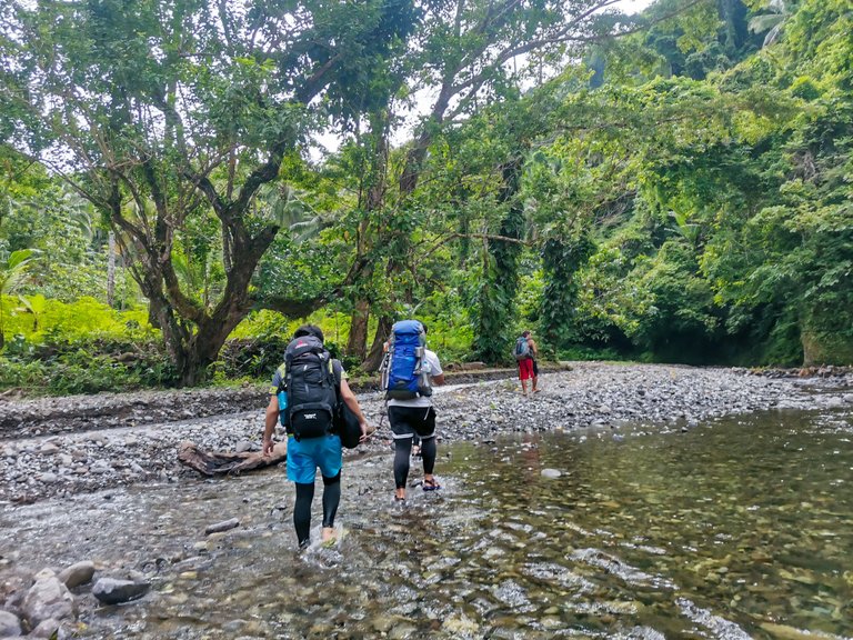
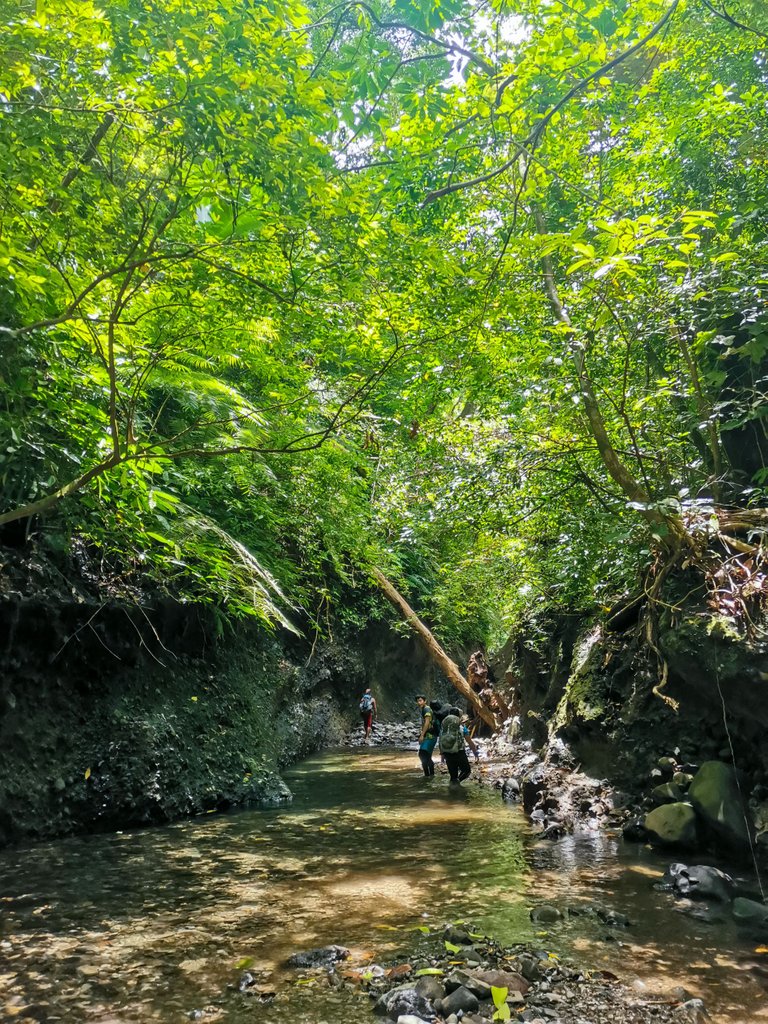
What started as an easy trek on a flat riverbank turned to meandering and countless crossings of the same river. There's no definite path. We just had to trust and follow our guide. I love the river crossings though. The cold water was so soothing to my feet. All of my friends were wearing sandals while I was in slippers just like our guides. I was not able to buy a pair of sandals because my hammock was more expensive than I anticipated. I will definitely buy one soon. I was more confident in slippers though. I knew I won't have a problem if it was all river crossings because I grew up exploring the river in our province. As long as the rocks were not covered in moss and algae, I was confident I could manage.
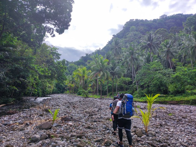
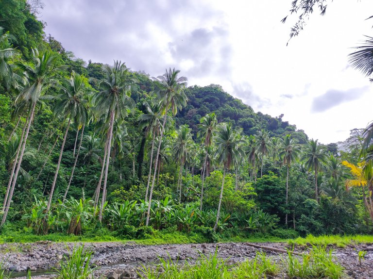
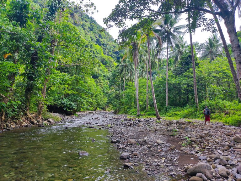
I noticed that the river was devoid of any human settlement. We only passed by one person who was harvesting abaca along the river. And that was it. He was the only person we met in the 3 days that we were in Mt. Pangasugan. The river was so clean that we just fetch water to drink directly in the rapids. Although there were designated water stops along the trail like in some tributary streams and waterfalls, I didn't mind drinking directly in the river. No filter is needed.
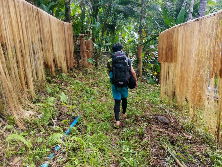
As we continued our trek upstream, the surrounding forest became denser and denser that even if the sun was shining above, we can barely feel its heat.
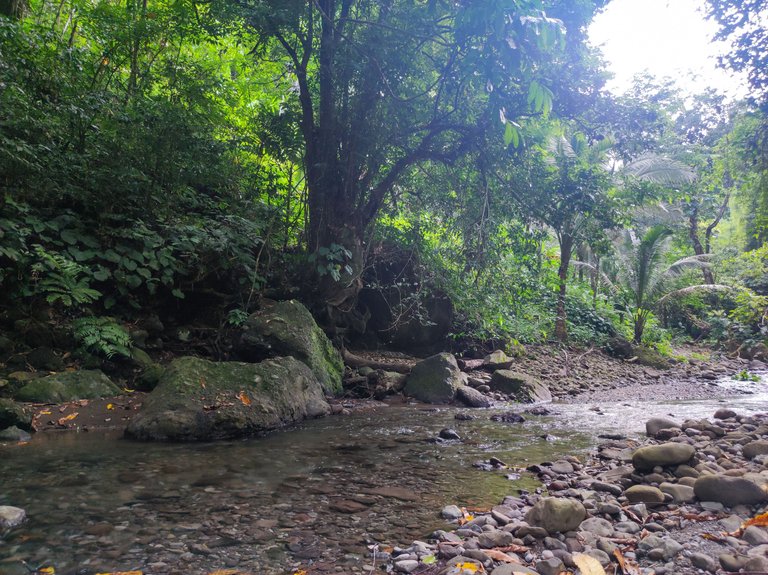
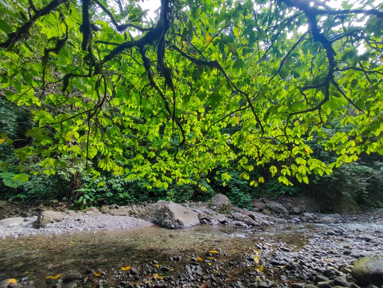
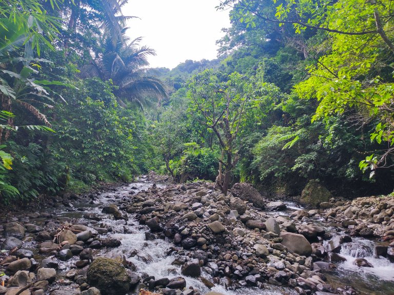
As we continued our trek deeper into the belly of Mt. Pangasugan, we passed by a lot of deep and slow-moving parts of the river. We call that "linaw" in Bisaya. It's often after a cascade and it's ideal for swimming. How many times I was tempted to take a dip into the river, but I decided not to swim because it was a hassle to trek in wet clothes and I didn't want to change my clothes while we were still along the trail. I should have just winged it and taken a dip because it turned out to be the first and last time that I would be able to appreciate those deep parts of that river.
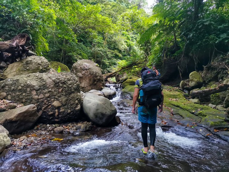
What started as flat river crossings suddenly became boulder crossings and rock hopping. I loved it though. If I'll be able to do it again, I'm willing to go to Mt. Pangasugan, but only up to the campsite. Turned out the boulder hopping and river crossing were the easiest parts of the whole climb. The rest was pure agony. Watch out in Part II and III.
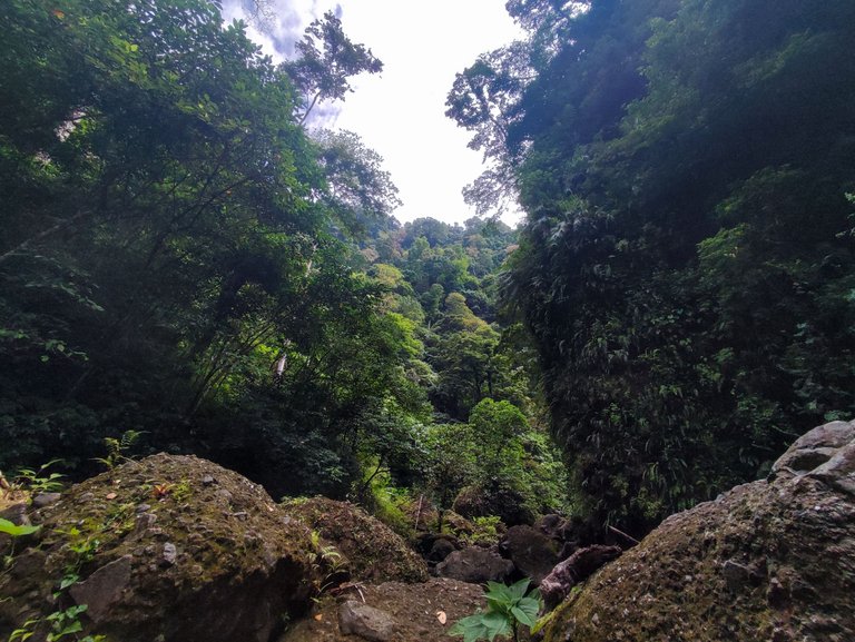
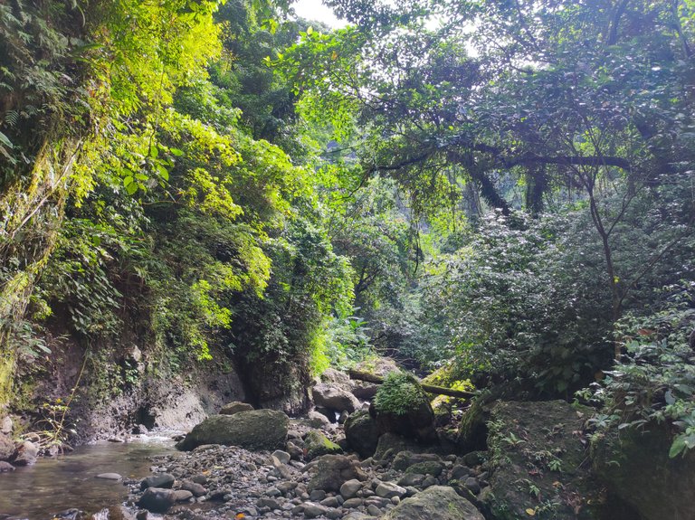

After hours of unlimited river crossings, we finally reached a familiar place. It's a common feature in all of the blogs I've watched about Mt. Pangasugan. They called it "Likod sa Barko" or "Back of a Ship". I don't know how the name started because it looked like a bow and not a stern of a ship. We were in the middle of two deep cliffs and one of the cliffs looked like a bow of a ship. The guide said that the cliff is actually hollow and that the cave can be explored. We rested there longer than usual because we took a lot of photos, of course.
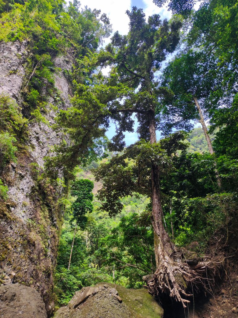
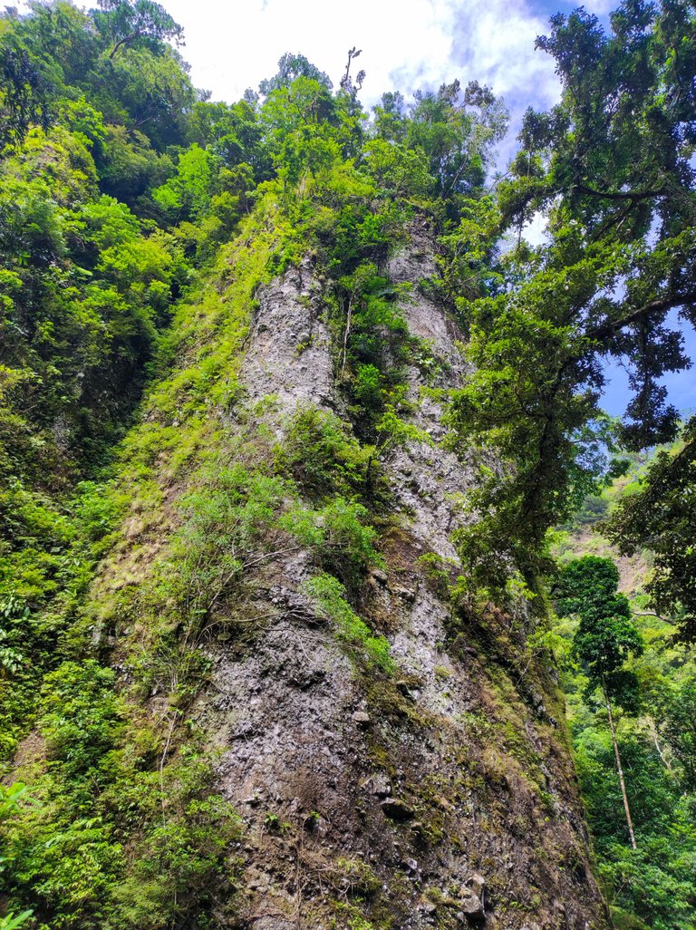
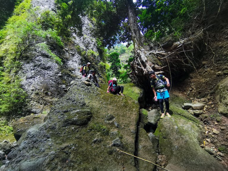
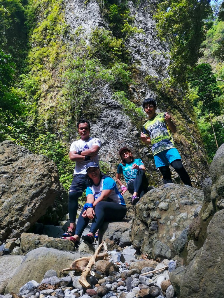
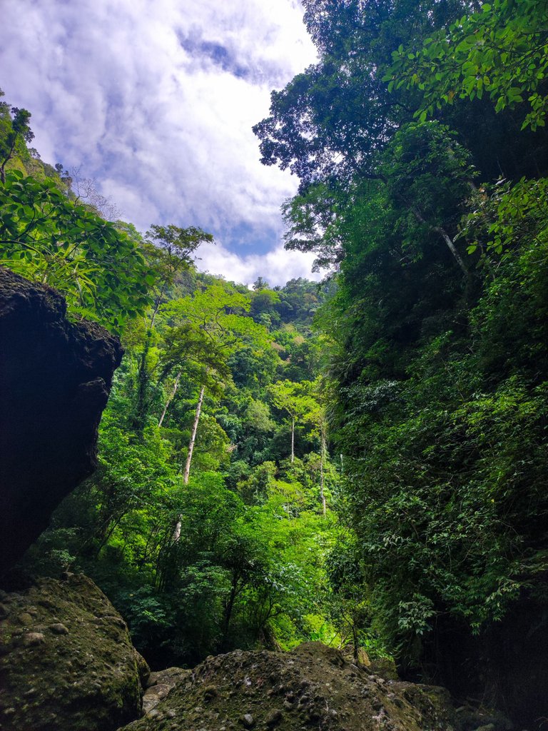
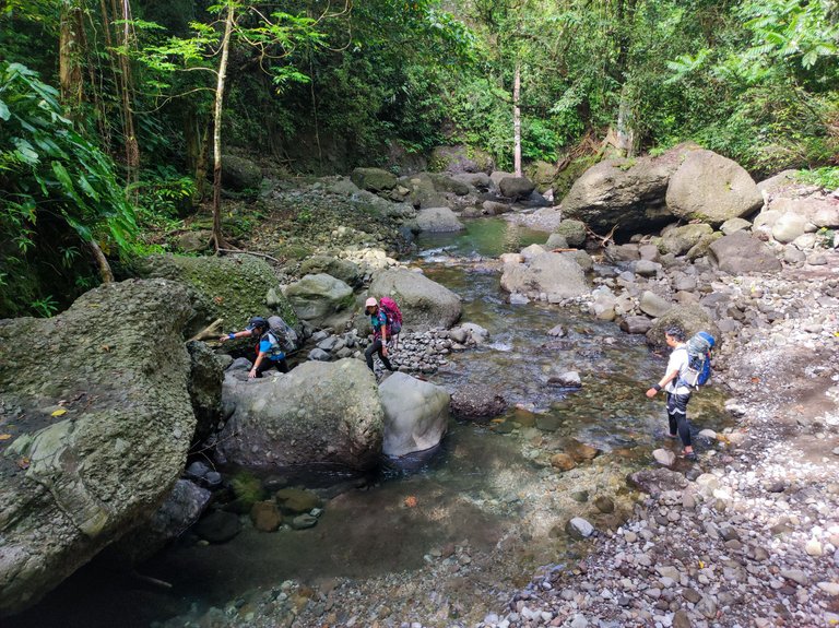
Another familiar feature of the trail was the makeshift ladder along a cliff where you have to hold the roots of the trees and maintain a good balance until you reach the top. Good thing there was a ladder.

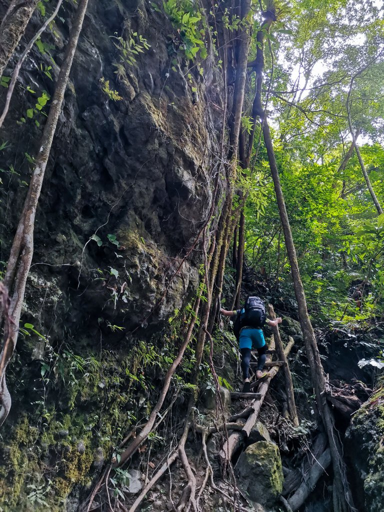
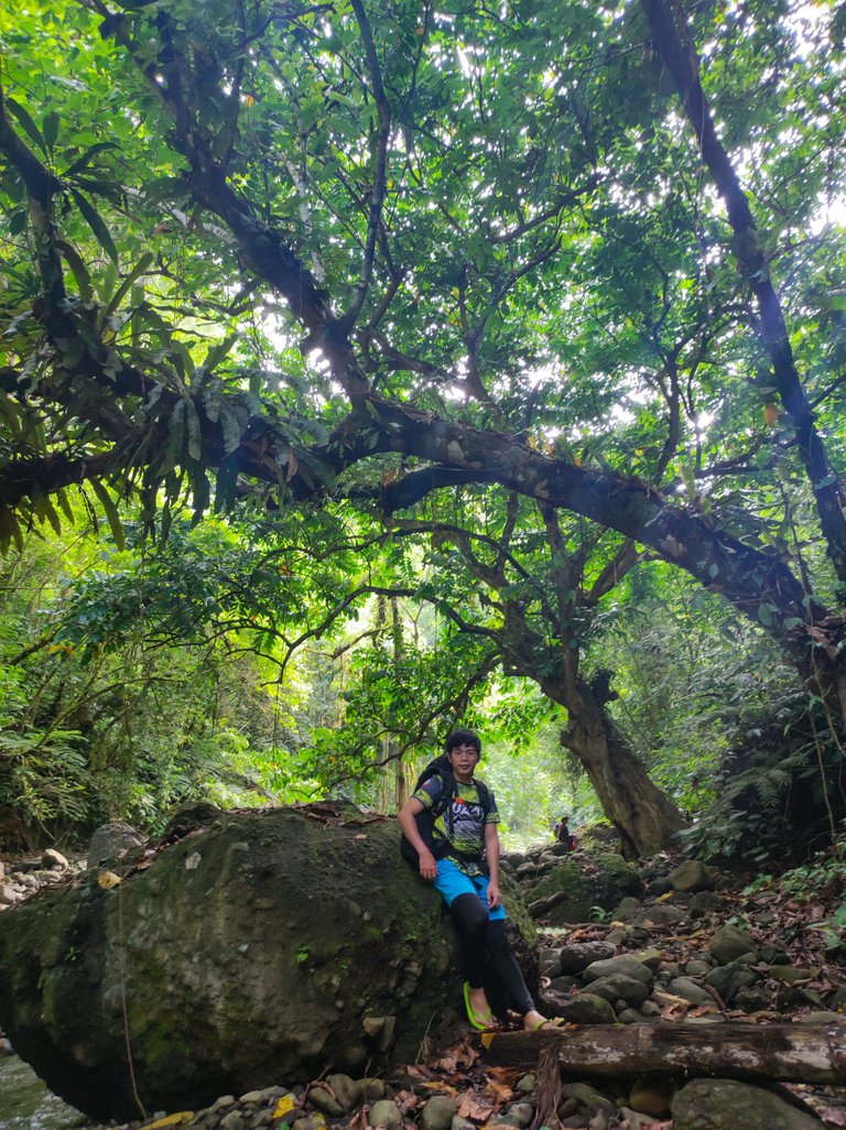
We had lunch along the trail when we were near the campsite. We passed by a small cave with two statues of the Virgin Mary inside. The guide said they have a fiesta there every September 15. I don't want to dwell on the story because I'm not religious and it's just a classic Filipino practice of combining Catholicism with animism. We reached the campsite at around 1:30 or 2:00 PM. Here are more photos of the trek:
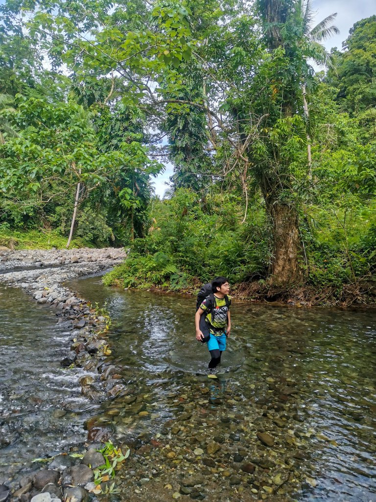 | 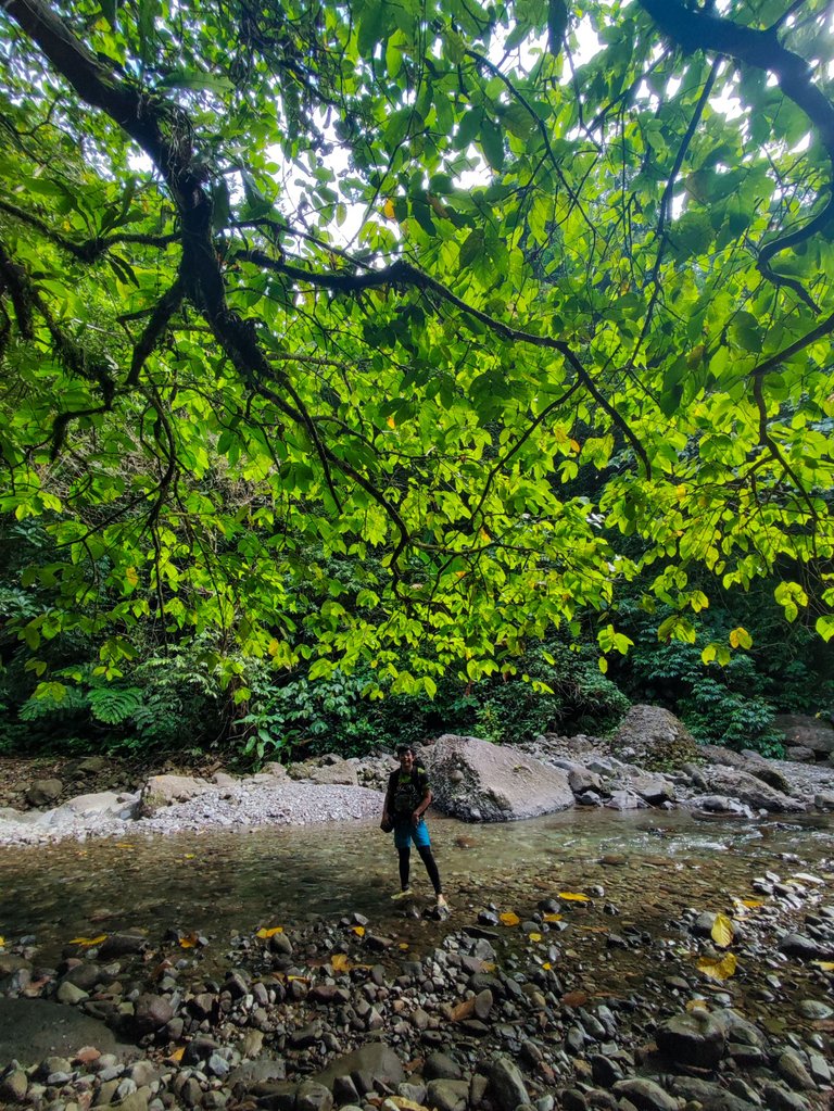 |  |
|---|---|---|
 |  |  |
I guess that's all for this post. See you in Part II! Thank you to Shiela and Marj for some of the photos.
Kim Ybañez
Welcome to Kim's small corner in Hive. He is a chemical engineer by profession, but a blogger by passion. He is a wanderlust and an adventure seeker. Join his quests as he visits remote destinations, climbs mountains, tries new and exotic dishes, and explores his country (The Philippines). He's also a trying-hard photographer so stay tuned as he shares his photos and his thought process while creating them.
If you like his content, don't forget to upvote and leave a comment to show some love. You can also reblog if you want to. Also, don't forget to follow him to be updated with his latest posts.
I really enjoyed reading this. And a little sad for the experience that I've missed (minus the gutom part, of course). Makaproud kaayo mo oy. Mt. Pangasugan to me is what Mt. Talinis is to you. It's been a big part of my university life.
Looking forward to Parts 2&3! 🤩
So need jud diay nimo musaka atong bukira. Lessons nato among experience so maybe okay na if kamo manaka.
Although you already shared me your short version of the trip, I still can't wait to read those death defying moments. Excited for part 2 & 3 the most.
300 words pako sa Part 2. Huhu. Goal nako makapost today.
Congratulations, your post has been added to Pinmapple! 🎉🥳🍍
Did you know you have your own profile map?
And every post has their own map too!
Want to have your post on the map too?
I really can't imagine myself if I did join the climb haha! Congrats parin!
No one expected that climb was that difficult. The river trekking part was the easiest and yet it felt endless. It looks and feels like Spartan Trail, but 10 times as long. If magsapatos ka kay malata imong tiil. 😂
Grabe hardcore!!! Congratulations kim!
Salamat ser Arc! Di nako muusab. 😆
#hive #posh
Wow… reading and seeing these photos does want me to join in.
I understand it can be very difficult.
And to see you had slippers. I can imagine the first river crossing were ok. But then the rocks and climbs.
Looking forward to reading and seeing more.
Thanks for sharing your experience. Good or bad. 😎
Happy weekend!
!ALIVE
Having sandals or slippers is necessary. Wearing trekking shoes while having those river crossings will cause blisters and wrinkly feet. It's not ideal for the whole climb though. That's why we also brought hiking shoes.
I need to post the second part as soon as possible. Thank you for the support!
Happy weekend to you, too!
Yes, that makes sense… I understand. So far I did cross rivers but nothing like the one you crossed so many times. So it was more jumping from rock to rock with walking boots.
Hope you manage 😉 soon…
You are welcome my friend. Anytime!
Thank you kindly.
!HUG
I sent 1.0 HUG on behalf of @littlebee4.
(1/2)
@ybanezkim26! You Are Alive so I just staked 0.1 $ALIVE to your account on behalf of @littlebee4. (3/10)
The tip has been paid for by the We Are Alive Tribe through the earnings on @alive.chat, feel free to swing by our daily chat any time you want.

Congratulations Kim, grabi ma feel gyud sa write up ang kalisod.
Mao ba akung understanding ani nga naka tawa ko hahaha
Thanks! Ginaningan jud nako suwat kay memorable experience sha. 😆
Unsa diay imo githink? Animism is also a religion, but more rooted into nature. Most religious practices in the Philippines kay hybrid naman of Catholicism + Animism.
Wow 🤩
Hiya, @choogirl here, just swinging by to let you know that this post made it into our Top 3 in Daily Travel Digest #1891.
Your post has been manually curated by the @pinmapple team. If you like what we're doing, please drop by to check out all the rest of today's great posts and consider supporting other authors like yourself and us so we can keep the project going!
Become part of our travel community:
Wow! Thank you, @choogirl!
Well deserved. Awesome post mate.
wow this is an absolute monster hike...I would have not survived this :)
Congrats to you guys that you mastered it. Huge respect!!
I'm not yet at the exciting part! 😆
I'll part the second part soon.
Wow! It's my first time to have a glimpse of what's inside this majestic Mt. Pangasugan so I am excited for part 2 of this blog. I am from Leyte and I can only admire this mountain from a distance. It's wonderful view is a perfect backdrop of for VSU where we use to study. So really excited to see whats in the heart of this mountain.
People recommended that we should visit VSU after the hike, but we didn't have the chance. Maybe next time.
You don't have plans of scaling the mountain? 😆
😆😆 I'm too old and inexperienced. I'll just leave it to the young and strong and feel that adrenalin as I read through your blog 😄.
Oh! I guess I'll post more about my mountaineering escapades then.
Whoa! That was breathtaking write up sir! It feels like I was there trekking with you. I'm a bit afraid to climbing part. Like, something stopping me from breathing. Thanks God you're all safe and well. Salute to all mountaineers!
I'm not yet at the exciting part ma'am. 😆 Watch out for the second part and you'll be thankful you're not into mountaineering. I'm now even questioning if I made the right decisions in life. 😂
Hahaha you made a right decision sir! Pero kami ang makuyawan sa inyu huhu. Please keep safe. Pero safe ba ang mag tsinelas sir?
Okay ra man guro. Wala ra man ko naslide. Mas naslide pako atong nagsapatos ko. Mas sanay sa probinsya life maong okay kaayo mag tsinelas. HAHA
Wow! What a great adventure you got! I like the breathtaking view of the place it is truly captivating.
Good thing you went home safe and sound. It was a job well done. I hope someday I can do this too.
The view was indeed breathtaking, but it nearly cost us our lives. 😆 I'm now drafting the second part.
The struggle is real 😊. I'm excited about the second part of this great journey.