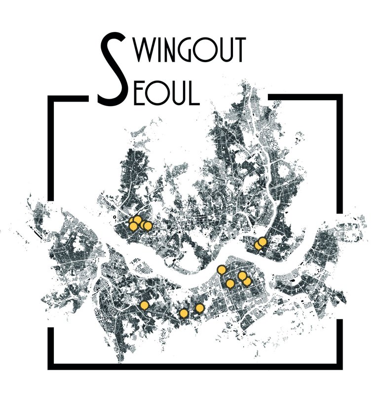
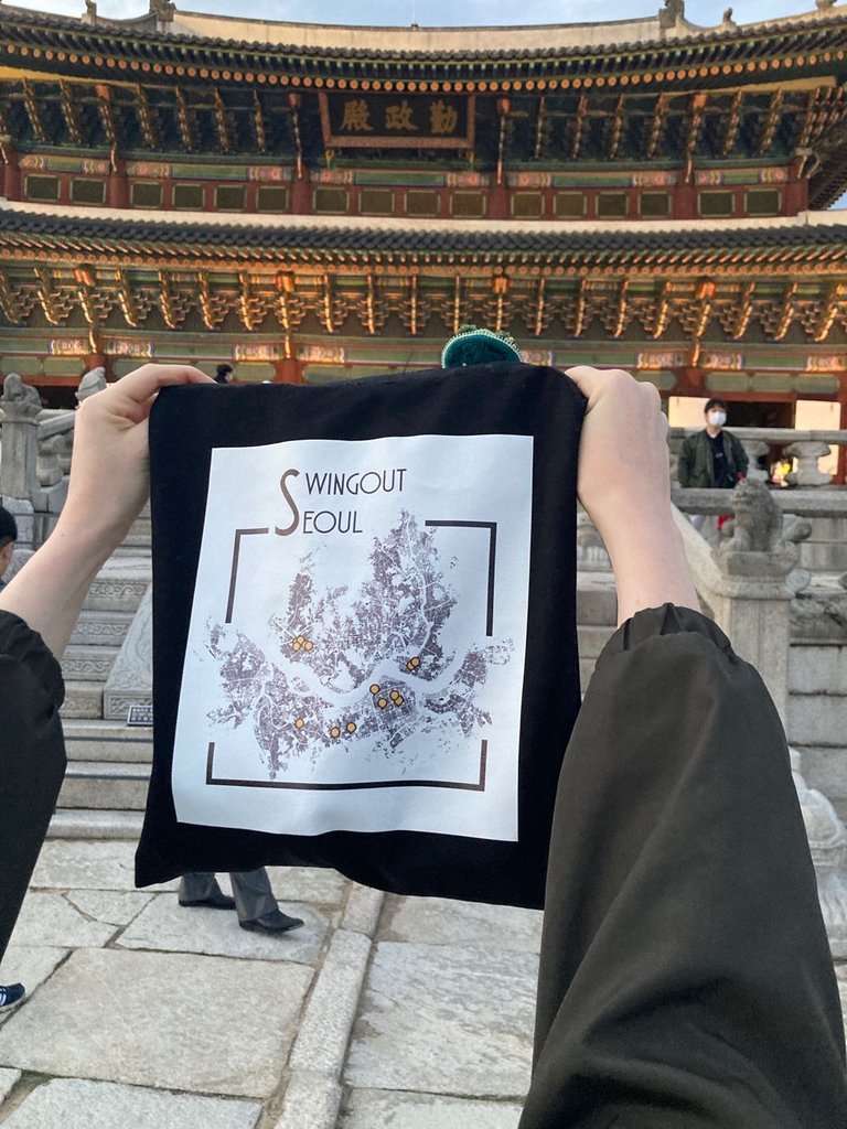
The original idea to make swing dance related goods to sell to our community began with this design. As part of a bigger project, I was mapping where the swing dance bars were in Seoul. Seoul is known for having one of the biggest swing dance scenes in the world. Because of COVID-19, some of these swing dance bars had to close down. To commemorate Seoul's swing dancing heydey, I mapped the locations of all the prominent social dance bars and put it on a bag for people to buy!

To make this particular map, I used GIS data from Seoul City's database. I made my own data for the location of the swing dance bars and exported the base map to illustrator where I added the map markers and text. The process is fairly simple but because the image contains every single building in all of Seoul, the file is pretty massive. This file was also the most difficult to edit and change depending on the requests from the vendor who was printing it onto tote bags. Small things like resizing the canvas or changing the position of a map marker would sometimes take 15- 20 minutes.

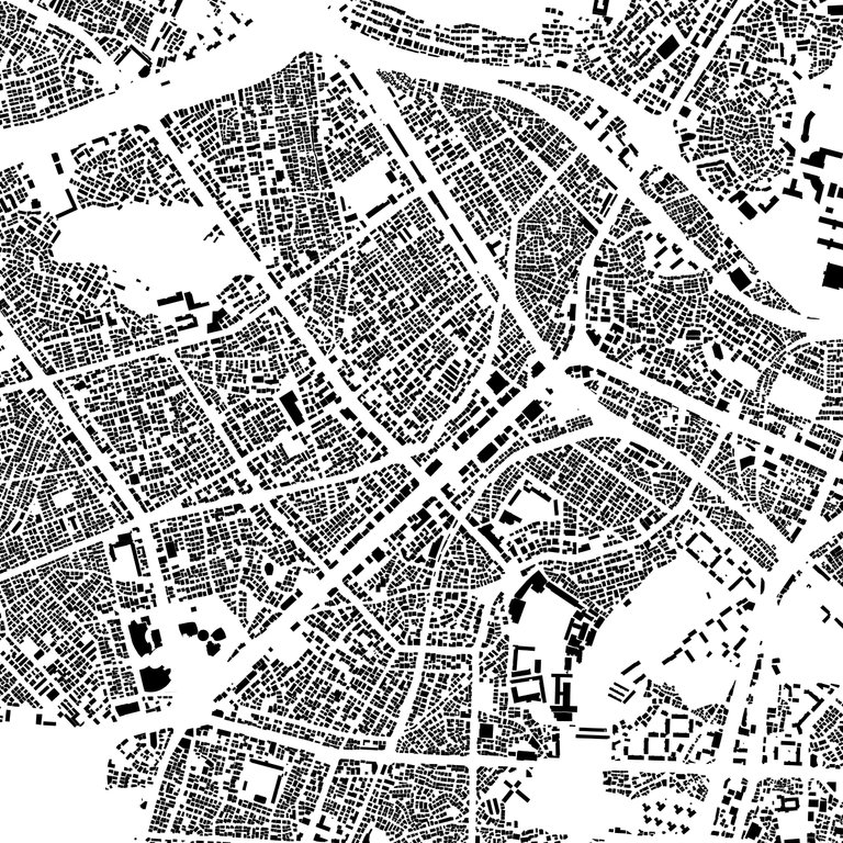
A zoomed-in screenshot of the map showing Seoul's buildings which are solid, naturally forming voids to reveal the roads
I've always loved maps. I use qGIS a lot for my work and one of my favourite things to do is to look at figure-ground building maps. I find them particularly attractive because the map only shows the buildings - the urban fabric - and the roads are perceived naturally because of the form and density of buildings in cities. They remind me of Escher's artwork where solid forms unite to reveal the voids. I also spend a lot of time comparing figure grounds of different cities because they reveal so much of the morphology of the area. In this screenshot, we can see that Seoul's buildings follow more-or-less some kind of grid order while following the hills and contours of the city. The larger white spaces in this map are either parks or hills. I think that the figure-ground reflects Seoul's character - controlled development with buildings making maximum use of space, trying to follow some kind of grid system - the urbanscape and the natural landscape shaping one another.

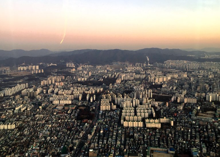
Do you think that the figure ground translates into this aerial view?
This was most evident to me when I visited the observatory on top of the Lotte Tower, the tallest building in South Korea and the 5th tallest in the world.

The bags were the hardest to produce of the all the goods we'd planned. It was also the one that we received most orders for. It isn't surprising - city maps make for popular art and representations of a place that many people relate with in different ways. It was also nice for me to use tools that I use to express architecture and urbanism in swing dance. I think that the bag provides both our local and visitor dancers with a way to remember Seoul's vibrant swing dance culture.
Congratulations @manouche! You have completed the following achievement on the Hive blockchain and have been rewarded with new badge(s) :
Your next target is to reach 1250 replies.
You can view your badges on your board and compare yourself to others in the Ranking
If you no longer want to receive notifications, reply to this comment with the word
STOPCheck out the last post from @hivebuzz:
Support the HiveBuzz project. Vote for our proposal!
Nice bag... I just installed the application that I didn't know. I'm going to check it out this evening as I like maps especially the old maps with the monsters in the seas 😀
Haha, I love old maps too! qGIS has a great documentation available where you can follow along and get the basics of it. But it usually is used for geospatial analysis and processing data into maps. Tell me if you do something with it :D
Oh yeah the software is much harder to use than I thought. It's not like a Google Maps, maybe not for me 😀
Haha, yeah, it's not so much a hobby software!