In response to some questions from @luca1777 on one of my earlier posts and because of my earlier plans to write a little more about Suriname's geography, I've decided to share a little more about the rivers in Suriname.

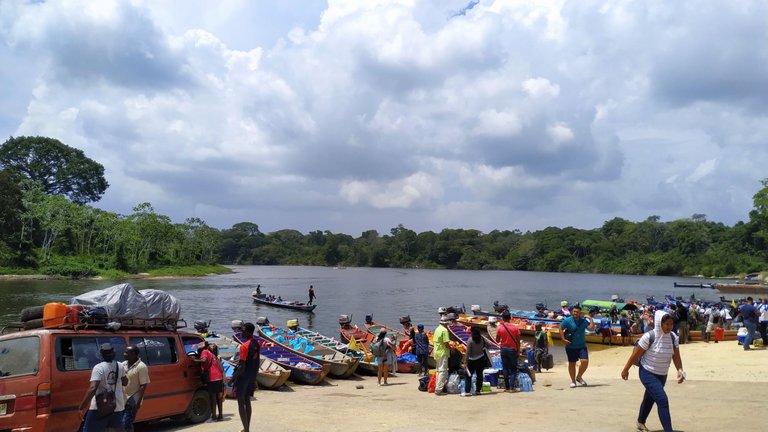
Wharf at Atjoni along the Suriname river.
For starters, Suriname has seven larger rivers with several tributary rivers, that are connected to the larger ones. The (larger) rivers all flow from South to the North into the Atlantic Ocean. From East to West are the Marowijne - (bordering with French Guyana), the Commewijne -, the Suriname -, the Saramacca, the Coppename, the Nickerie - and the Corantijn (bordering Guyana) river.
The rivers were and still are to some village communities, a way of transport and travel. The rivers also provide food sources (fish) and (drinking) water, especially to those villages in the South, that are remote and cut away from city life and its commodities. That's why most native communities and maroons settled along the rivers. The same reasons for when plantations were established.

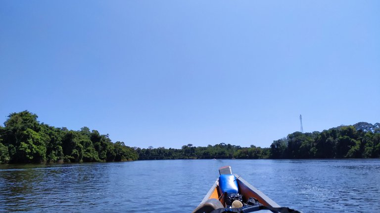
Travel on the Coppename river.
In a not so distant past, travel between some of the Districts was only possible through ferry's and those motorized canoes and if you want to visit some remote plantations (like Laarwijk for example) and/or villages - especially those further in the South - you still have to travel via the river. Especially when traveling to District Sipaliwini, that's approximately 80% of Suriname's land area.
Roads and bridges are of course part of Suriname's infrastructure, but most are constructed near the coast - because of most of the population living near there - and only reach the South to a certain extend. Travel via air - especially to some villages in the South - is also an option, but it's more expensive.

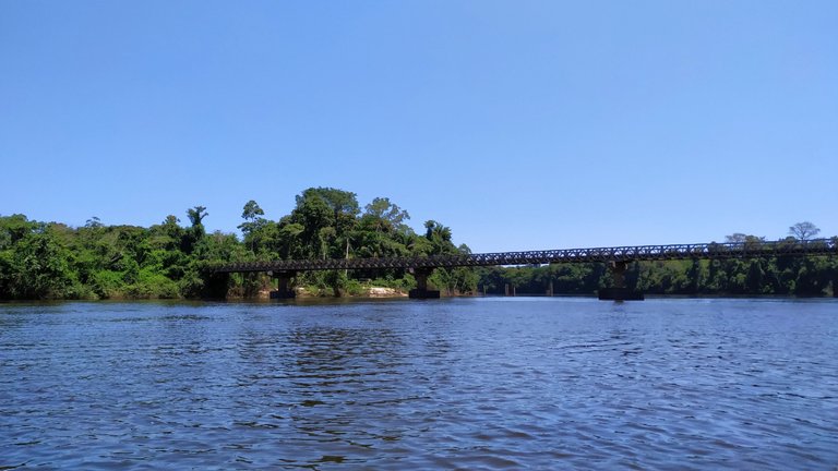
Bridge at Witagron across Coppename river.

The rewards earned on this comment will go directly to the person sharing the post on Twitter as long as they are registered with @poshtoken. Sign up at https://hiveposh.com.
Very interesting and all so very colourful!
I would fit in well there! 😃
Yeah you would... 😁
It's really a piece from almost anywhere in the world that's come together.
!ENGAGE 10
ENGAGEtoday.The beaches in Suriname, I hear they are basically rivers? As in so many rivers lead to them that it takes on the color of it? True?
Hahahaa, yeah most of our beaches (strand in Dutch) are river shores, that either have sand- or mud banks. If people open up recreational swimming facilities in the rivers with mud banks, they'll throw piles of sand on the muddy area they're exploiting.
The Marowijne river (bordering with French Guyana) has a sandy "beach", so I enjoy(ed) swimming in that water.
Suriname does have a piece of shoreline that's connected to the ocean, but it's not safe to swim. I think I've been there once as a child and though I really wanted to go swimming, the water/waves was/were turbulent.
!ENGAGE 10