World has so much to offer, and much is up for grabs, while a lot has yet to be discovered and has to be properly appreciated.
This is a post to appreciate most underappreciated, under-visited places in the world so full of beauty and yet, i just scratched the surface. Karakoram with majestic mountains including K-2, the second highest peak at 8,611 meters (28,251 feet), the mighty Himalayas, with naked mountains (Nanga Parbat), the ninth-highest peak in the world at 8,126 meters (26,660 feet), and the breathtaking and unscathed and uncanny Hindu Kush, Known for its rugged terrain, with the highest peak (Tirich Mir) at 7,708 meters (25,289 feet).
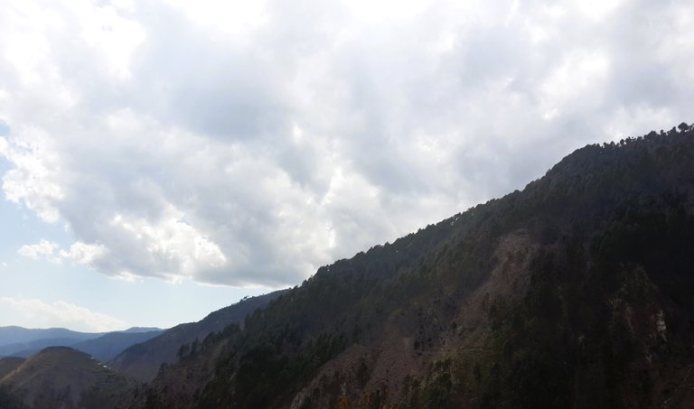
This post has nothing of the Karakoram, the Hindu Kush or the Himalayas but this road sure leads there and this post is more about the journey then the destination.
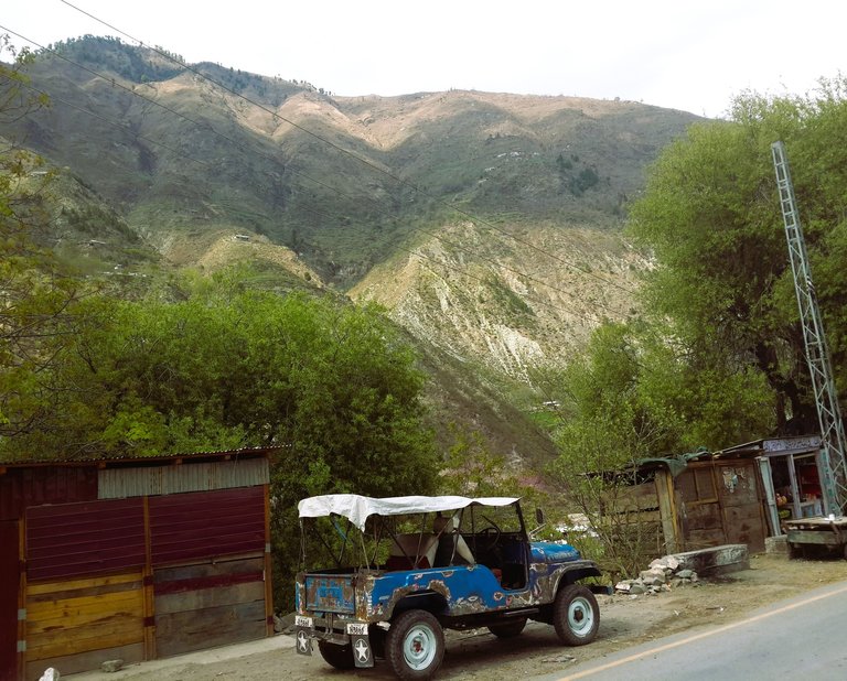
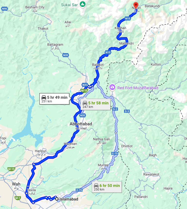
Our travel started from Islamabad, Pakistan and through the peaks of Margalla, towards Taxila (an ancient city known as Takshashila, in the Potohar region of Punjab, as old as 1000BCE, is a UNESCO heritage site), using the Highway M-15 towards Abbottabad (a beautiful hill-station, infamous for other reasons), Balakot (a most serene and beautiful little town), all the way towards Kaghan Valley and everything in-between.
Our Original destination, Naran Valley was cut short because of the heavy snowfall, and un-drivable route -
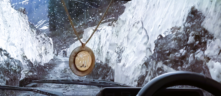
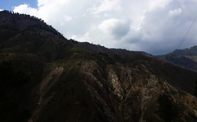
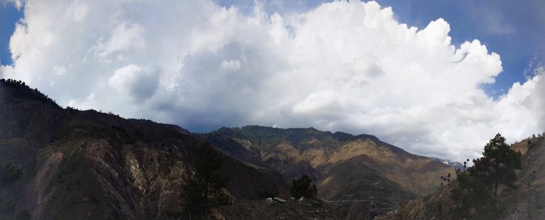
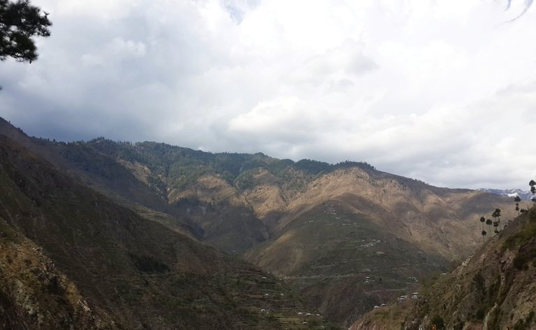
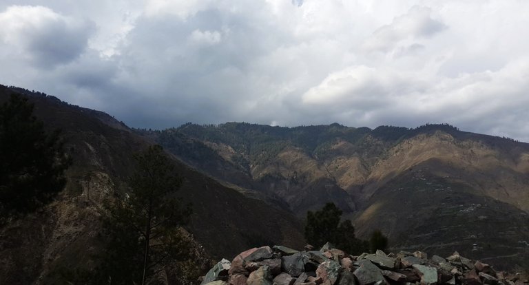
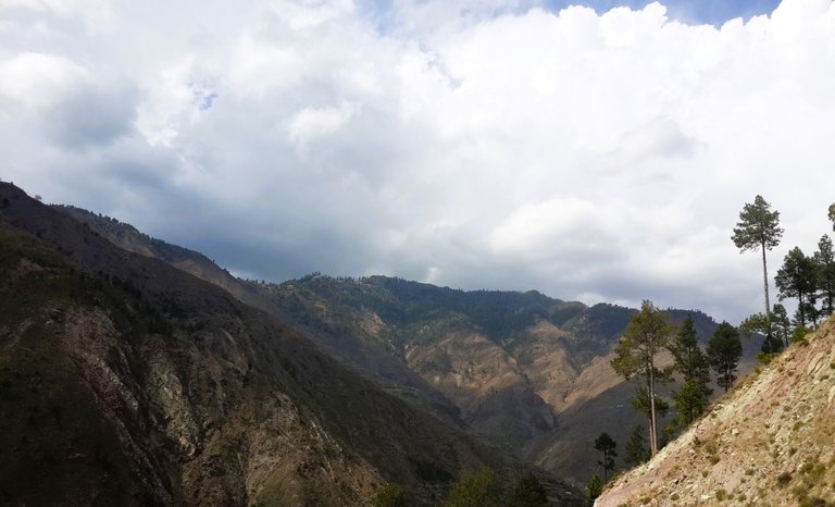
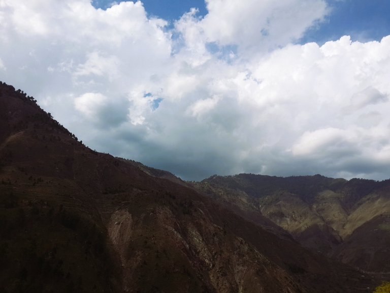
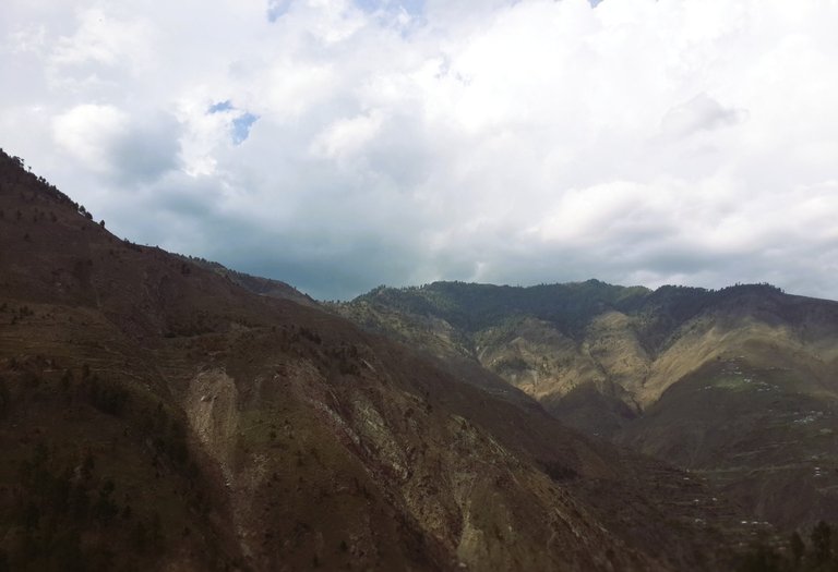
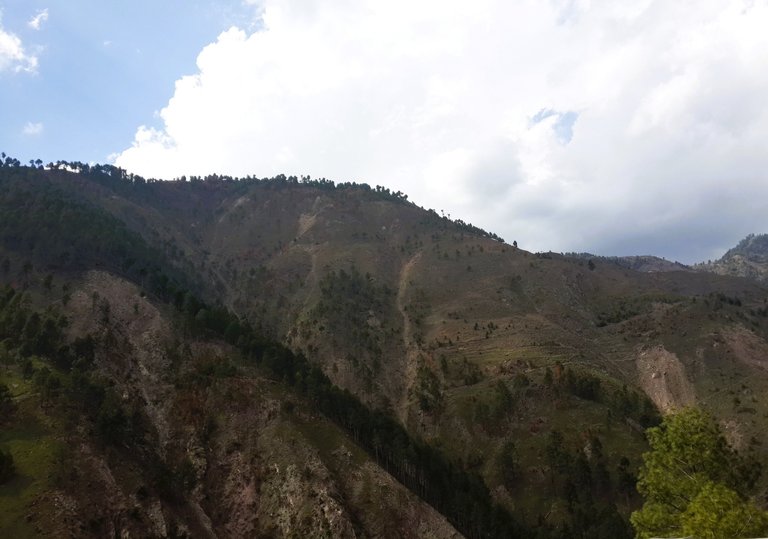
Here are some of the Images that do not do the justice to the beauty of this scenic route, but I always relive those moments whenever I see them.
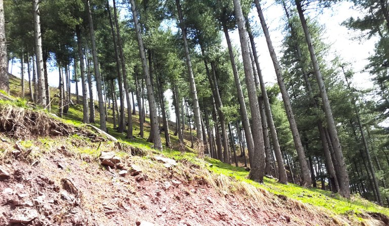
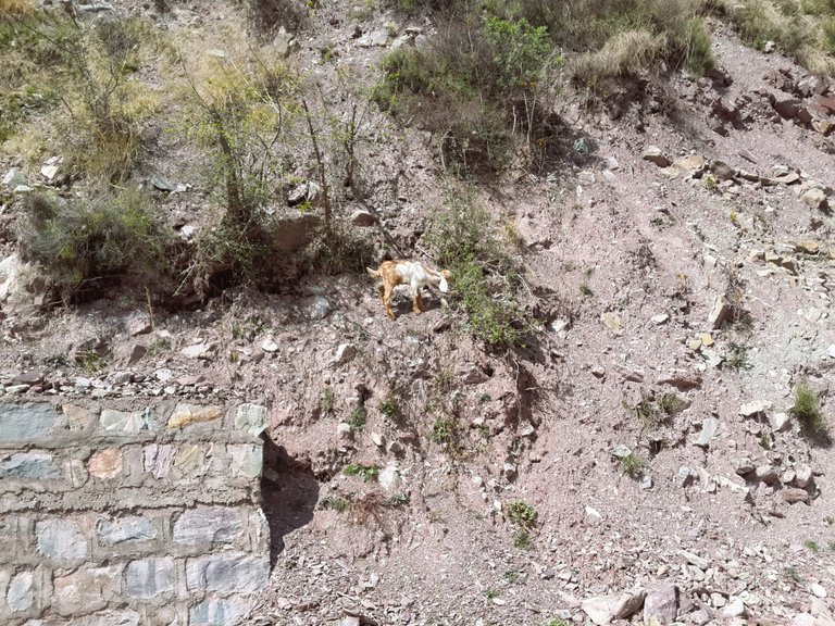
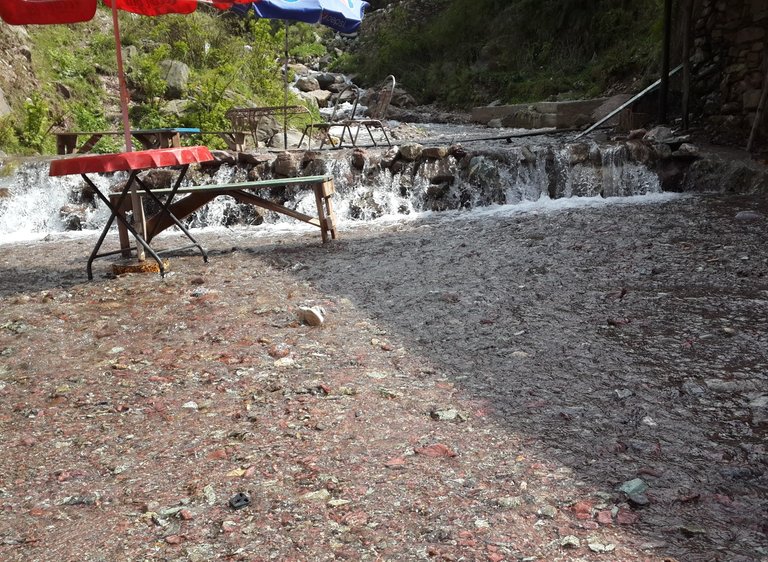
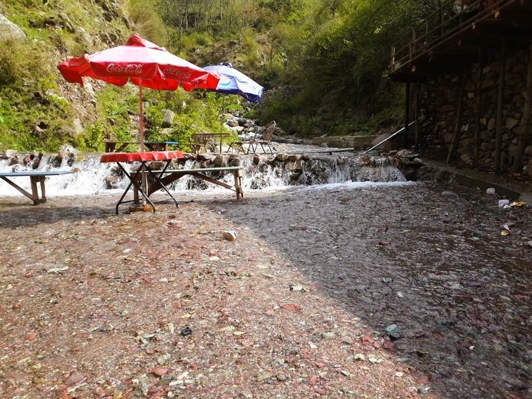
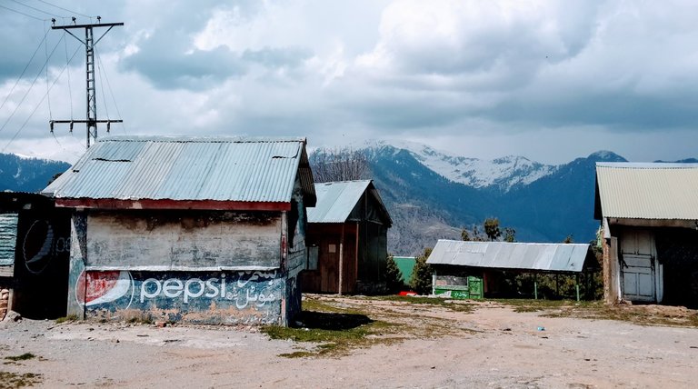
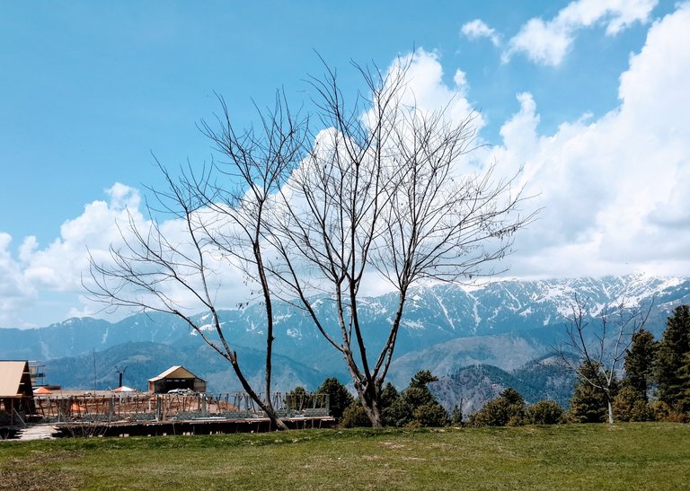
Here is a gallery of what we saw on our way to this beautiful place. \
Stay tuned for Part 2 of this story.
Congratulations @vixmemon! You received the biggest smile and some love from TravelFeed! Keep up the amazing blog. 😍
Thanks for using TravelFeed!
@for91days (TravelFeed team)
PS: Why not share your blog posts to your family and friends with the convenient sharing buttons on TravelFeed?
You can check out this post and your own profile on the map. Be part of the Worldmappin Community and join our Discord Channel to get in touch with other travelers, ask questions or just be updated on our latest features.
Congratulations, your post has been added to the TravelFeed Map! 🎉🥳🌴
Did you know you have your own profile map?
And every post has their own map too!
Want to have your post on the map too?
- Go to TravelFeed Map
- Click the create pin button
- Drag the marker to where your post should be. Zoom in if needed or use the search bar (top right).
- Copy and paste the generated code in your post (any Hive frontend)
- Or login with Hive Keychain or Hivesigner and click "create post" to post to Hive directly from TravelFeed
- Congrats, your post is now on the map!
PS: You can import your previous Pinmapple posts to the TravelFeed map.Opt Out
Majestuoso 📍