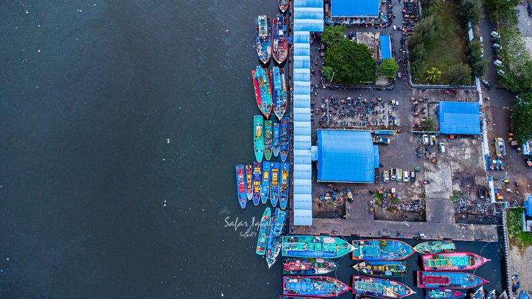
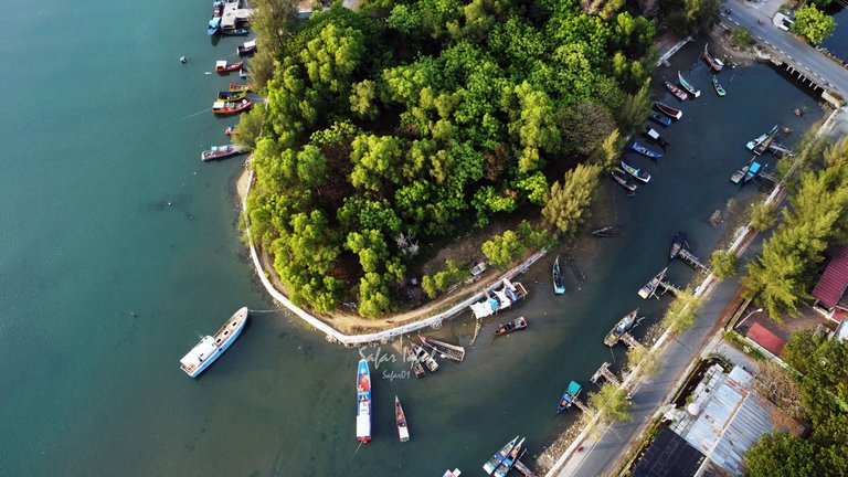
Some time ago, I tried to record pictures of activities at the largest port in Aceh, which is located in the provincial capital of Aceh, namely Lam Pulo. Several boats were seen still leaning in the port before leaving to catch fish.
This port is close to Kuala Aceh, a river that is currently bustling with fishing activity. I also took some pictures of fishing boats sailing on the Krueng Aceh River.
Lam Pulo Harbor has been around since the 1980s. However, the Aceh tsunami on December 26, 2004, destroyed the old location. However, the place is still used by fishermen with makeshift facilities.
However, currently, this port has been renovated by the local government in a location near Krueng, Aceh, with sufficiently modern equipment to store and process some of the fishermen's catches.
The port of Lam Pulo is able to meet the needs of fish consumption for the people of Banda Aceh City and its surroundings every day, and some of the fishermen's catches will also be exported to several other countries with an efficiency level of 79%, as evidenced by research data from universities in Aceh.
In this post, I will not review in more detail the production of the catches of the fishermen in my city; I will only show some aerial views of the largest fishing port area currently in Aceh, I hope you like it. Here are some aerial pictures that I captured using the DJI MINI 2 SE drone.
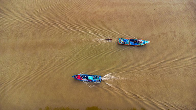
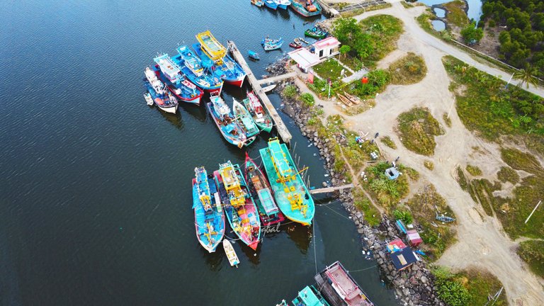
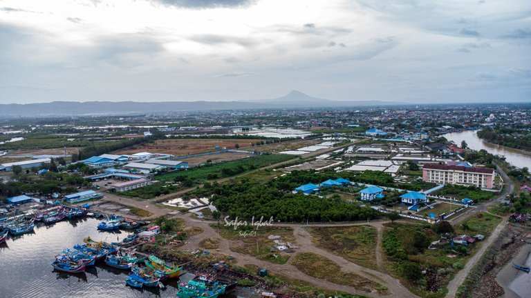
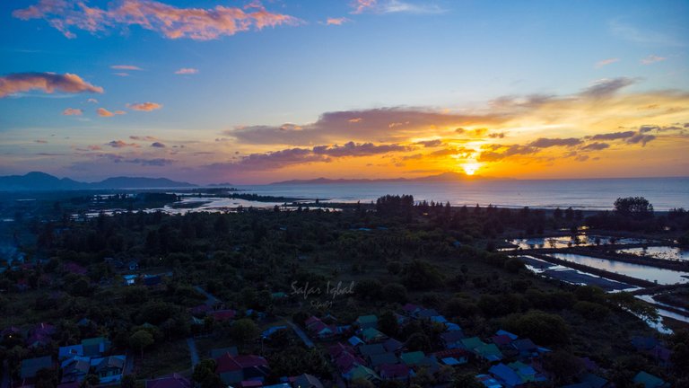
This last photo is not related to the fishing harbor, but this photo was taken at a location far from the harbor, and I like it because of the golden hour. I hope you like it.
Cool shots!
Thanks man 😇
Lovely Sunset! Also really like that one with the mountain in the far distance. Thanks for posting to the group!
Thank you, sir. I'm glad you liked it.