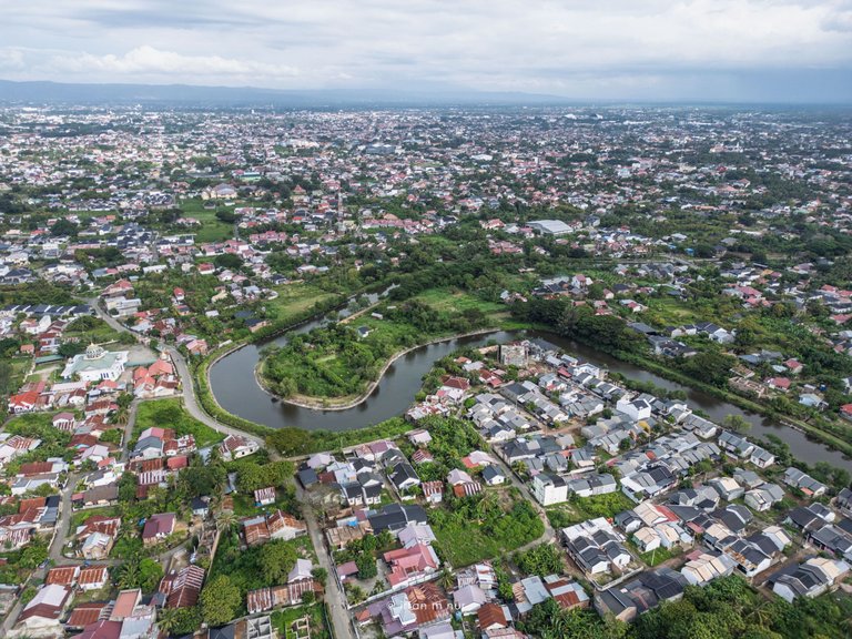
I flew my drone straight up into the air, directly above my remote control, in the village of Surien, Banda Aceh. I set it up to take 360 degrees to capture a complete view of the surroundings. If you're interested, you can check it out HERE. Afterward, I took more photos by rotating the drone to the left to capture a few good views.
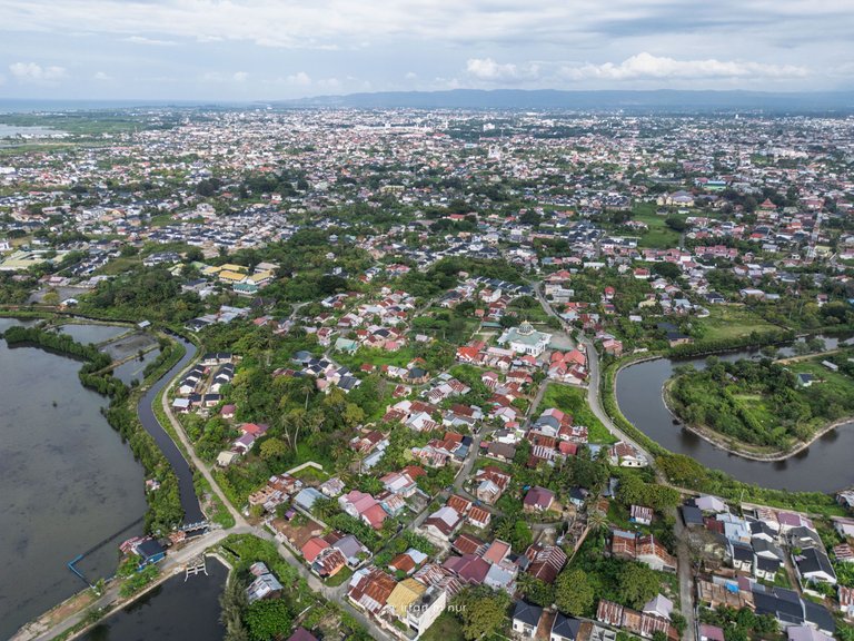
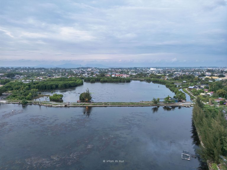
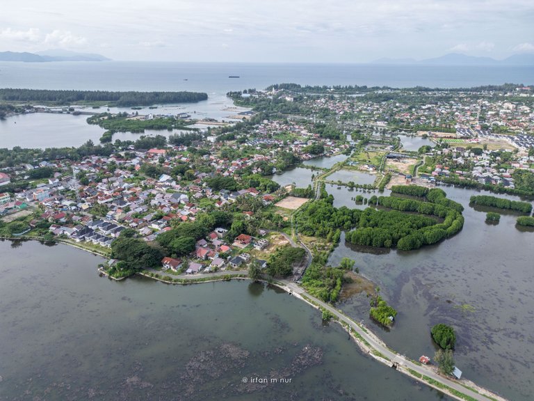
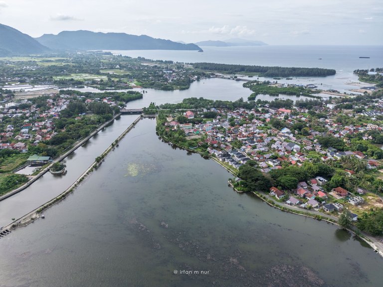
The landscape in this area showcases the coastal part of Banda Aceh, including local neighborhoods and natural features like the Krueng Neng River, which flows into the Ulee Lheue lagoon before reaching the open sea.
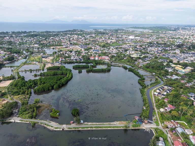
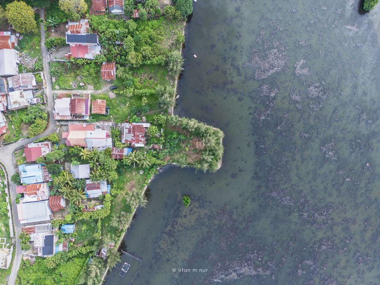
The top-down angle I took from a height of 150 meters shows a piece of land that extends into the lagoon.
That's where I was with my friends from @Mapesa, a non-profit organization dedicated to preserving Aceh's culture. We were working on maintaining a historical site, and I'm part of that institution as a volunteer.
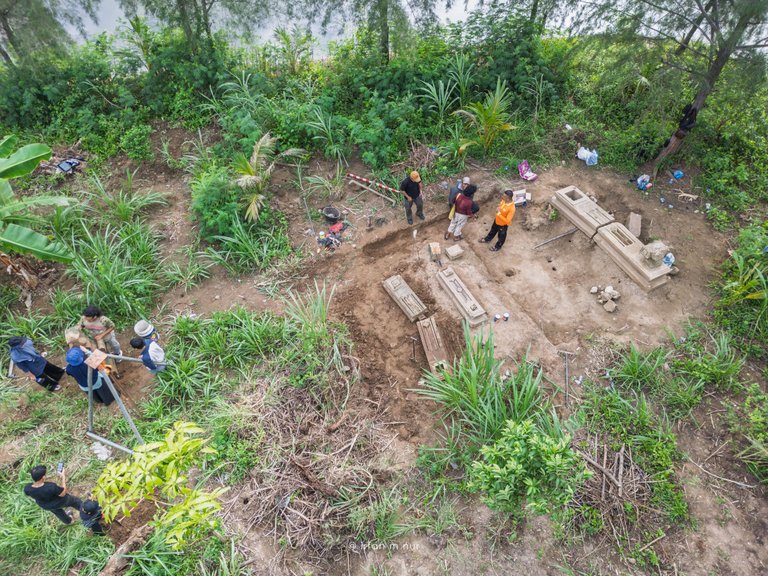
Taken on December 22, 2024, using a DJI Mini 3 Pro.
Thank You
Irfan M Nur (@vannour)
You can check out this post and your own profile on the map. Be part of the Worldmappin Community and join our Discord Channel to get in touch with other travelers, ask questions or just be updated on our latest features.
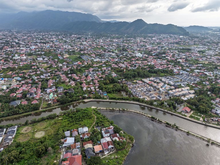
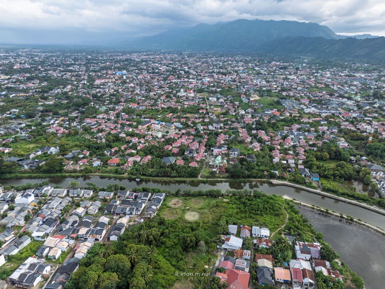
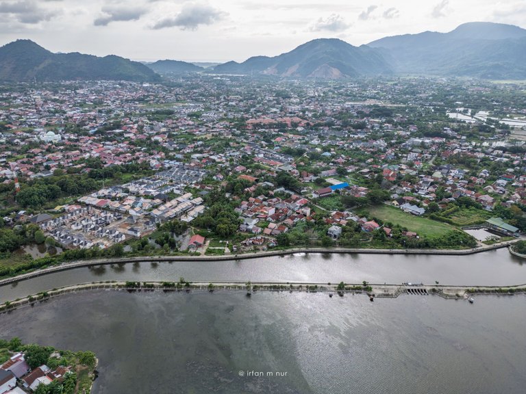
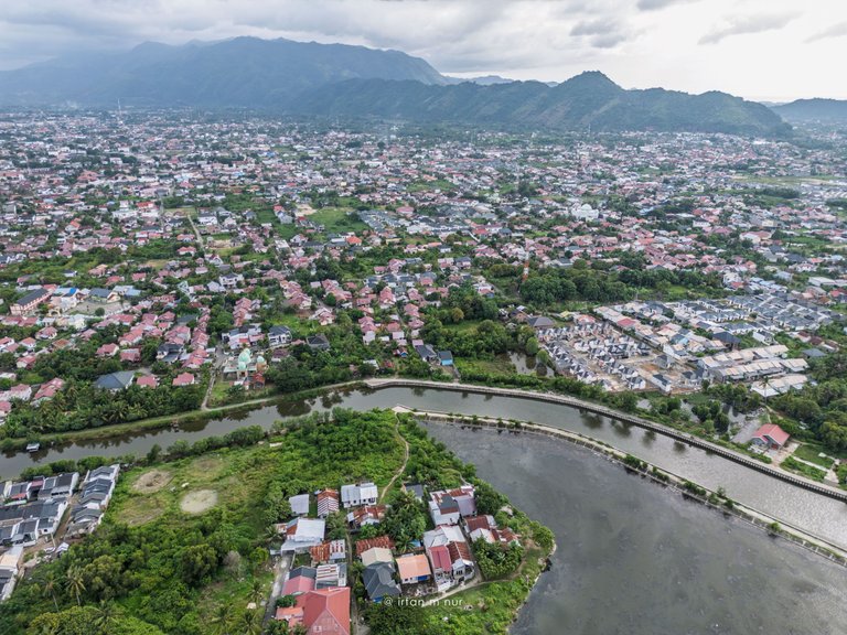
Departing from here, we can see further the journey of the flowing river water, clean, no trash that damages the environment.
The environment there has begun to be neatly arranged.
!CURATE BY
@biologistbrito
Thank you for your contribution to the community🌍🐏