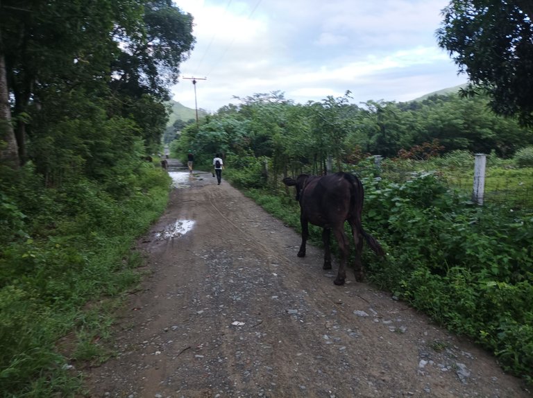
Greetings friends of Hive and @fulldeportes, today I'm going to share my mountain hiking training that I did today, Thursday, on the route of the hill via Malpica El Toro, El Ollito and El Samán hills, in the community of Villa de Cura, Aragua state, Venezuela.
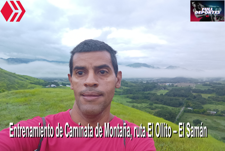
Esta semana no había podido entrenar porque la gran mayoría de las tardes ha estado lloviendo y he estado un poco ocupado realizando otras cosas, por eso cambié el horario en la mañana del día de hoy a las 5:45 am, donde el clima igualmente estuvo bastante nublado, con posible amenaza de lluvia. Sin embargo no fue impedimento en hacer este entrenamiento, los primeros kilómetros, son prácticamente planos, únicamente nos encontramos una pequeña subida al frente de la escuela Inocencio Utreras, y después de allí continuamos mi recorrido de esta ruta.
This week I had not been able to train because most of the afternoons it has been raining and I've been a little busy doing other things, so I changed the schedule in the morning today at 5:45 am, where the weather was also quite cloudy, with possible threat of rain. However it was not an impediment to do this training, the first kilometers, are practically flat, we only found a small climb in front of the school Inocencio Utreras, and after there we continue my tour of this route.
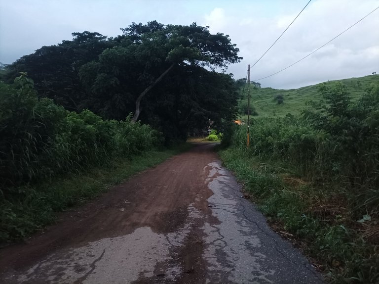
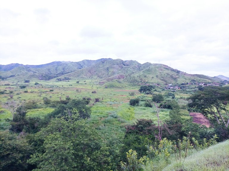
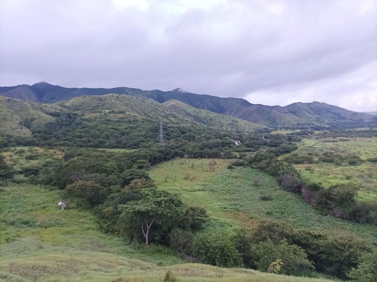
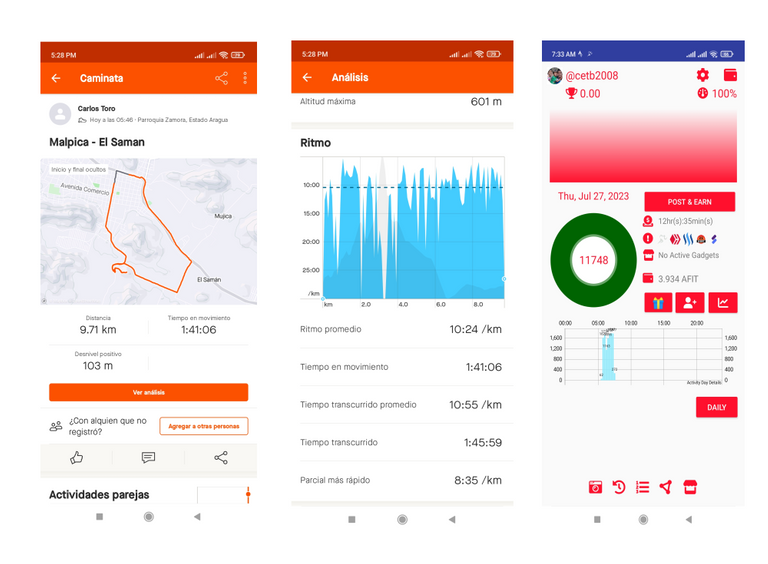
Al llegar al Samán la aplicación Strava, registro un tiempo de 20 minutos con 2Km de distancia, es decir a un ritmo de 10 minutos por kilómetros, luego continué avanzando 300 metros y me desvío para comenzar a subir la montaña El Ollito, aquí es una subida bastante empinada, donde pude sentir los zapatos totalmente mojado debido a que los arbusto estaban llenos de agua debido a la lluvia, mi reloj marco 30 minutos.
Upon reaching the Samán the Strava application, I registered a time of 20 minutes with 2Km of distance, that is at a pace of 10 minutes per kilometers, then I continued advancing 300 meters and I deviated to start climbing the mountain El Ollito, here is a fairly steep climb, where I could feel the shoes totally wet because the bushes were full of water due to the rain, my watch marked 30 minutes.
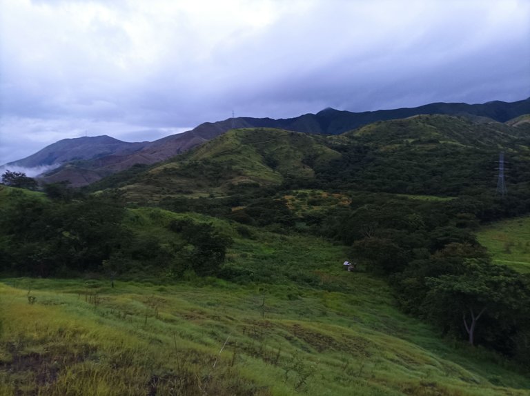
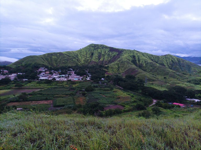
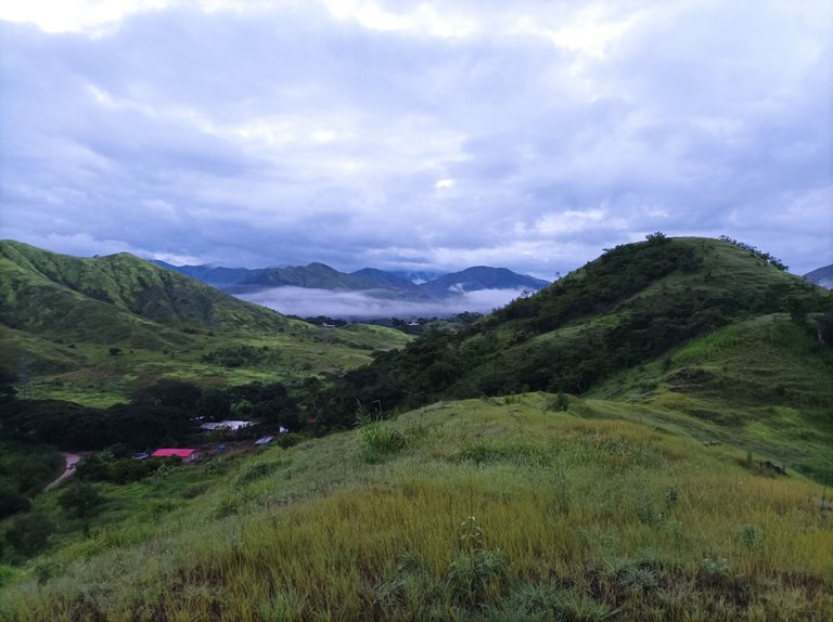
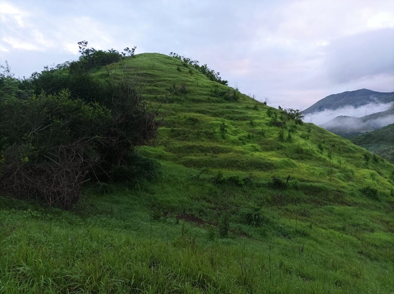
Esta nueva ruta me gusta mucho, porque desde la primera montaña podemos ver el cerro del El Toquito, también las montañas que está frente al sector El Samán, luego seguí más adelante en la cual se encuentra otra montaña que parece una pirámide, aquí tuve que subir de forma de zigzag, ya que había mucha humedad, llegue a la cima de esta montaña con un registro de 38 minutos, hace una tres semanas había venido para acá pensé continuar hasta el cerro El Ollito, pero como venía solo, decidí no continuar.
I like this new route very much, because from the first mountain we can see the hill of El Toquito, also the mountains that is in front of the sector El Samán, then I continued ahead in which there is another mountain that looks like a pyramid, here I had to climb in a zigzag way, because there was a lot of humidity, I reached the top of this mountain with a record of 38 minutes, three weeks ago I had come here I thought to continue to the hill El Ollito, but as I was alone, I decided not to continue.
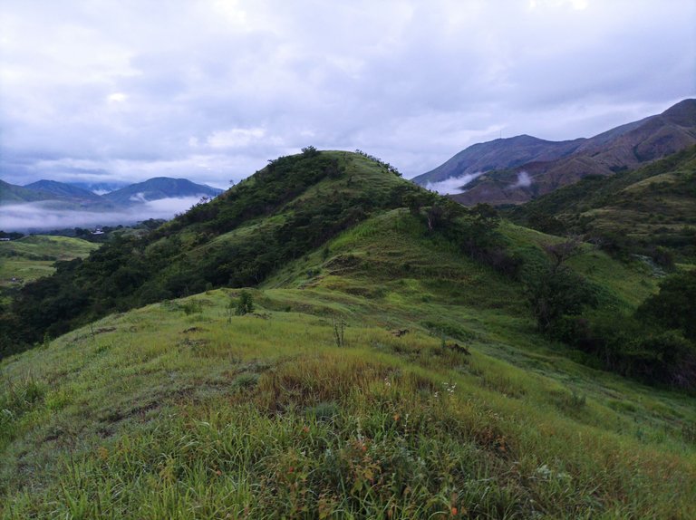
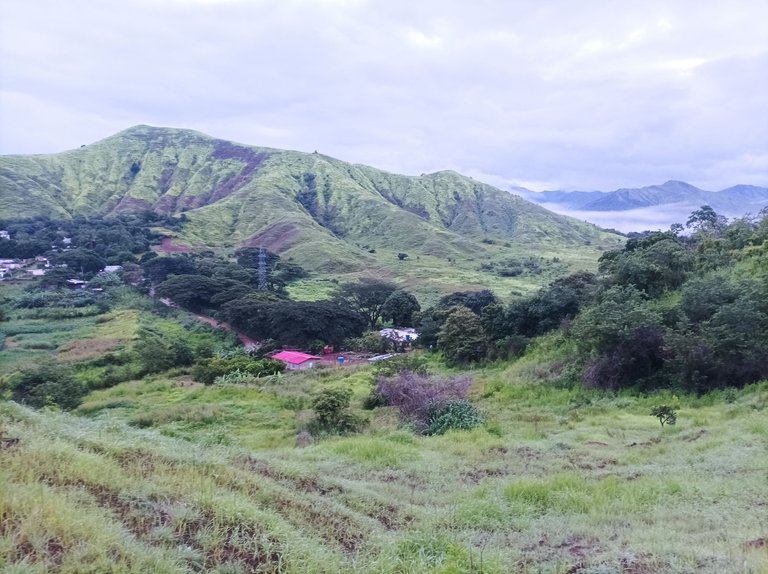
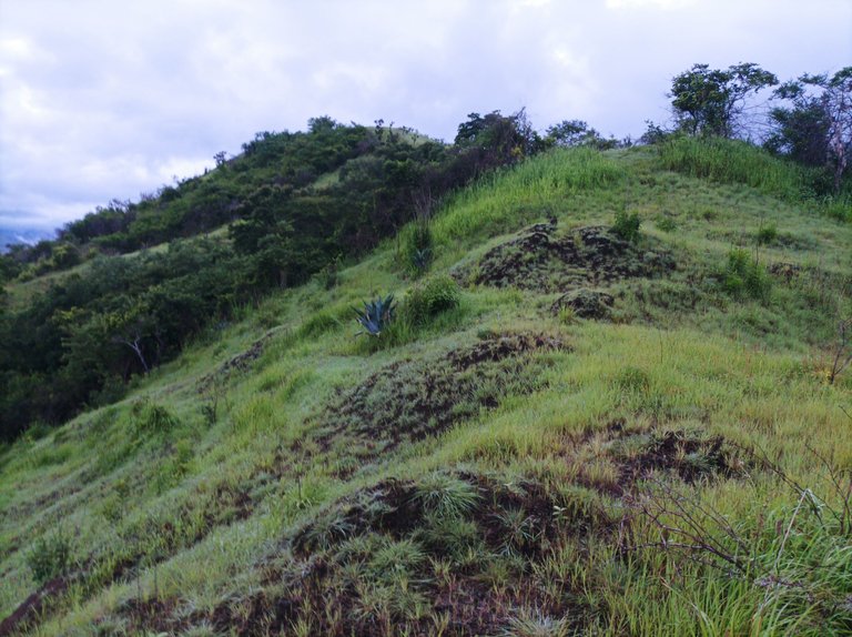
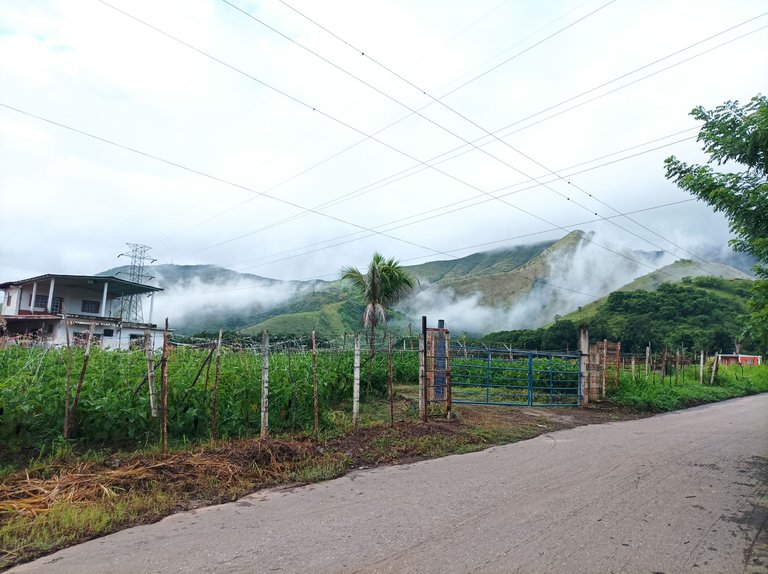
Cabe destacar que me hidrate un poco, y comencé a tomar algunas fotografías de la montaña cubierta de neblina, luego decidí bajar por el camino no, aquí tuve que tener mucho cuidado para evitar una caída, me costó un poco conseguir el camino, debido a que la entrada está llena de mucho arbusto, este recorrido es bastante bueno porque presenta un terreno variado de montaña y parte plana.
It should be noted that I hydrated a little, and began to take some pictures of the mountain covered with mist, then I decided to go down the road no, here I had to be very careful to avoid a fall, it cost me a little to get the way, because the entrance is full of much bush, this route is quite good because it presents a varied terrain of mountain and flat part.
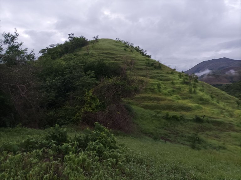
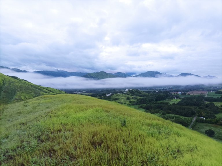
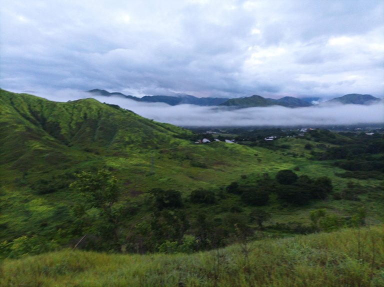
Luego me dirigí al asentamiento El Samán, pensé subir la montaña que estaba al frente pero me encontré con varios caminantes que estaban tomándose algunas fotografías allí, entonces decidí hacer la vuelta al Samán, pero al revés, pase toda esta parte plana y llegue a la entrada donde está la avenida Lisandro Hernández. A partir de allí seguí caminando a un ritmo suave, y detrás de mi venían el grupo de caminantes, aumente un poco para dejarlos atrás.
Then I went to the settlement El Samán, I thought to climb the mountain that was in front but I found several walkers who were taking some pictures there, then I decided to make the return to the Samán, but in reverse, I passed all this flat part and reached the entrance where the Lisandro Hernández Avenue is. From there I continued walking at a gentle pace, and behind me came the group of walkers, I increased a little to leave them behind.
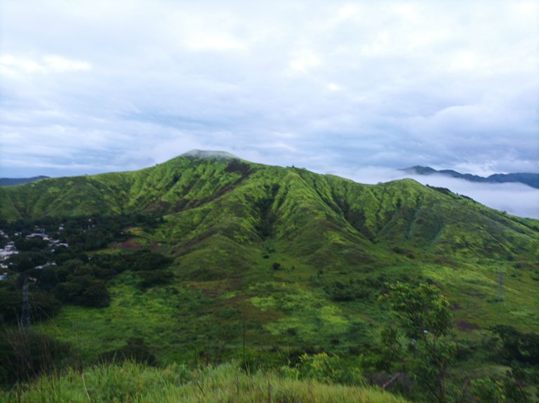
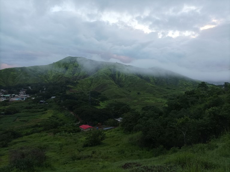
Al cruzar la avenida Lisandro Hernández, el grupo no se veían, a partir de aquí faltaban como 2km para llegar a la casa, en este entrenamiento es muy bueno porque tiene una combinación de ruta de montaña, y de calle, donde el atleta adquiere la resistencia y fuerza en la subidas, en la parte plana la velocidad de desplazamiento en la caminata.
When crossing the Lisandro Hernandez Avenue, the group was not seen, from here there were about 2km to reach the house, in this training is very good because it has a combination of mountain route, and street, where the athlete acquires the resistance and strength in the climbs, in the flat part the speed of displacement in the walk.
Espero que les haya gustado mi entrenamiento, nos vemos en una próxima publicación.
I hope you liked my training, see you in a future post.
Fotografías: Teléfono Redmi Note 10
Portada realizada en Inkscape
Logos utilizados de Hive
Traductor utilizado: https://www.deepl.com/
Photos: Redmi Note 10 Phone
Cover made in Inkscape
Used logos from Hive
Translator used: https://www.deepl.com/

Vote la-colmena for witness By @ylich

Gracias por mostrar la belleza de la naturaleza, eres afortunado de entrenar viendo estos bellos paisajes, te felicito, saludos
Hola, muchas gracias por tu comentario.
@cetb2008
Puedo apreciar que ha está lloviendo por esa zona amigo, se ve muy frescas esas montañas. Me imagino que debe ser como respirar aire fresco en el Cerro el Avila
Saludos si amigo, pero está montaña no es en El Ávila, gracias por tu comentario.
Wow!!! es si que fue un gran y entretenido entrenamiento. Ten linda semana. Saludos y bendiciones.
Hola muchas gracias, amén.