The morning was perfect for me to get some great photos of unusual clouds. I love seeing the afternoon storm clouds and fronts that come through during this time of year.
I was walking and then I came across a small lake which gave me the opportunity for a "mirrored effect" of the clouds on the lake. I usually get these chances at the beach so I had to try it here.
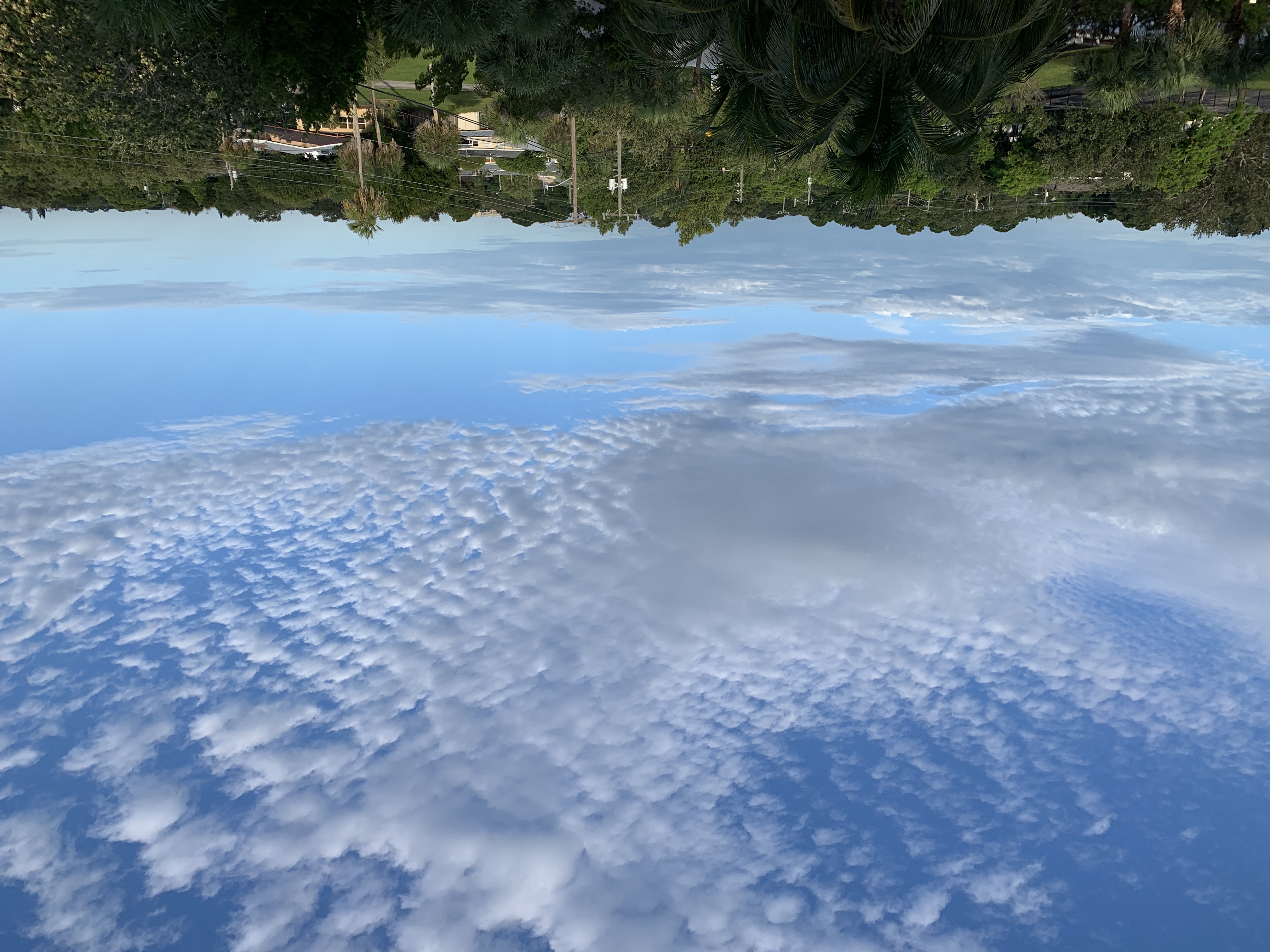
But ..I was really interested in photographing these "cotton ball" clouds in the distance with my Nikkon (70-300 zoom).

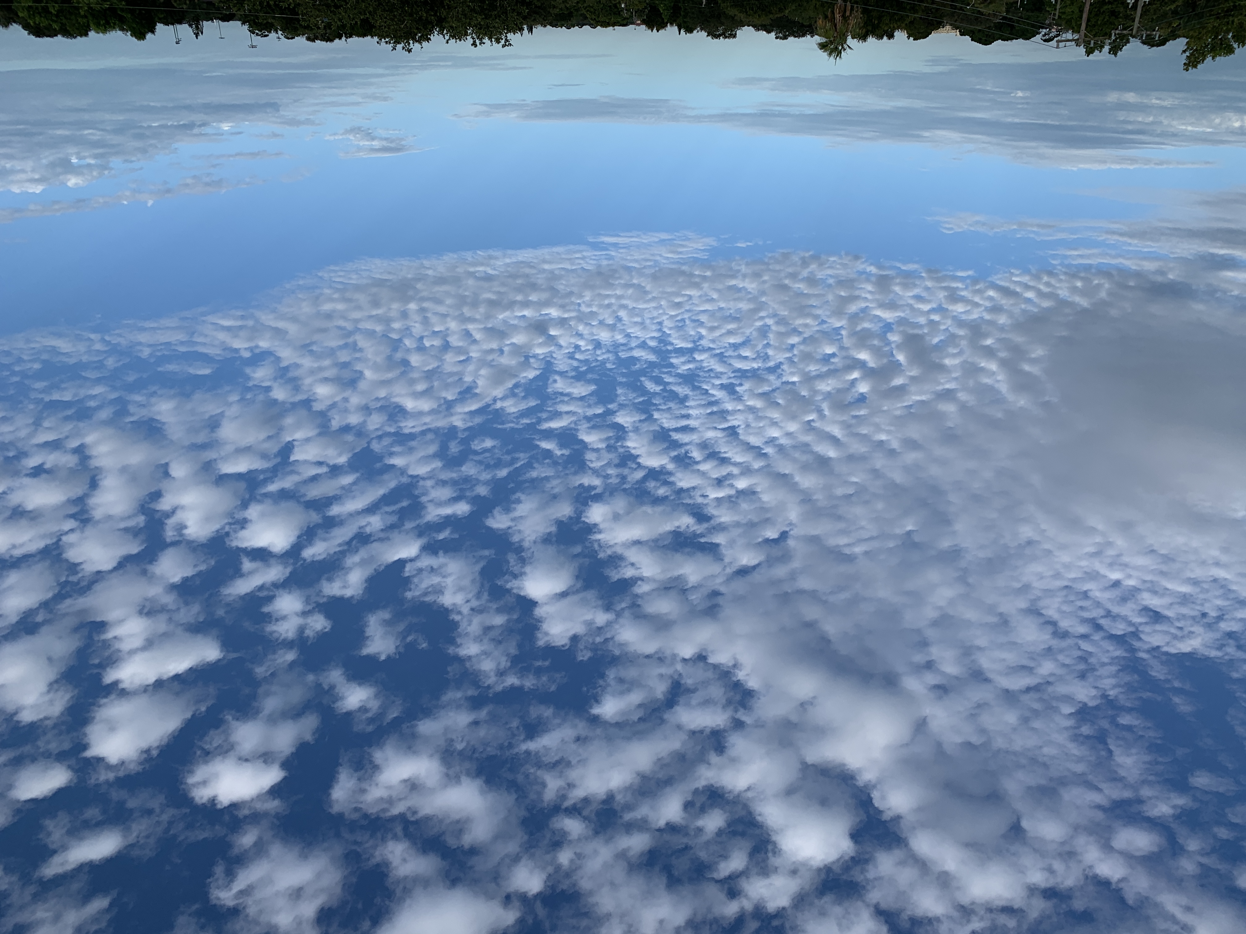
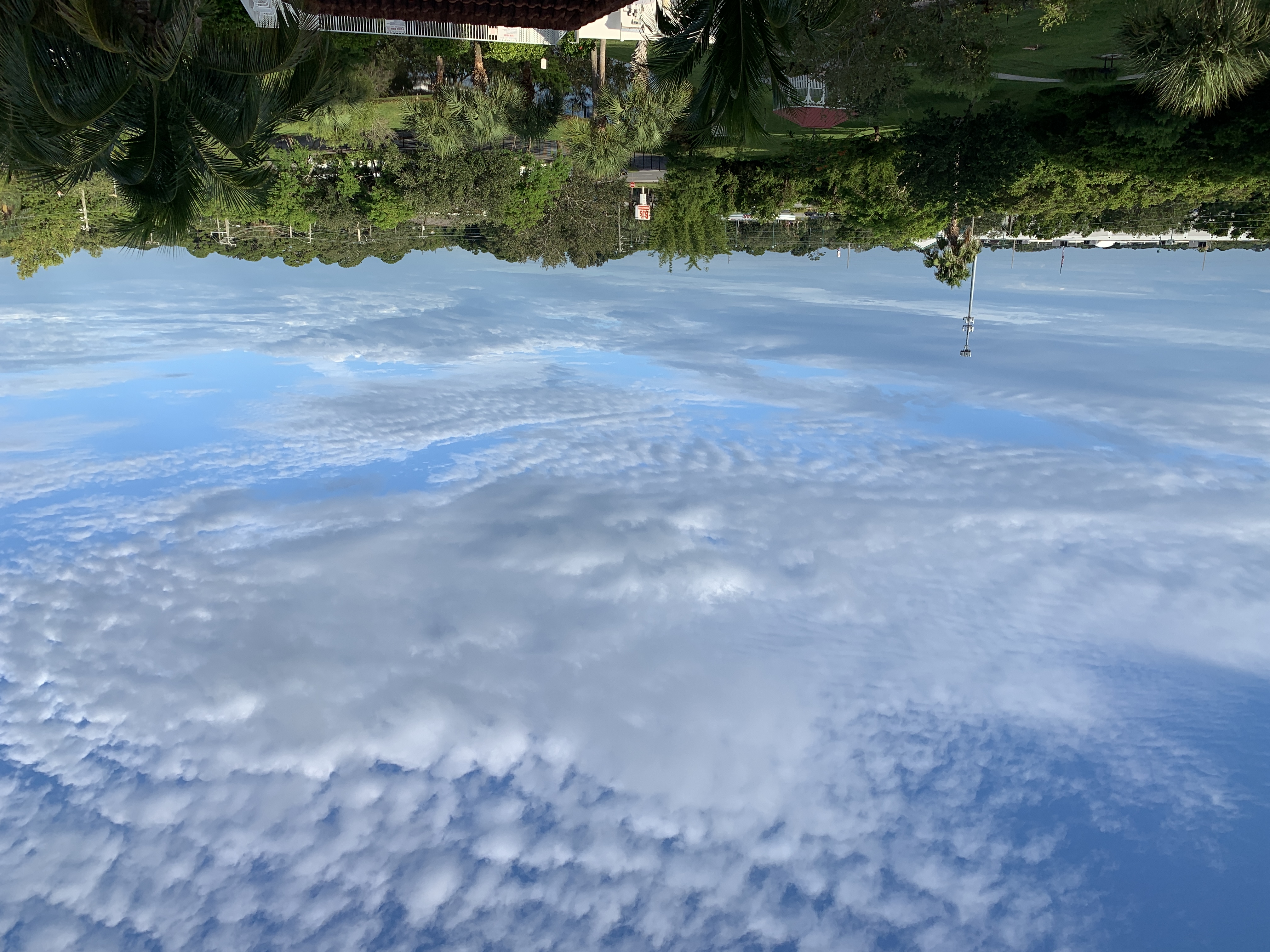
These are the cloud formations that peaked my interest this morning. They are not geo-engineered in any way but yet have a distinct pattern to them.
A better view. How do they form like this with certain spacing and size. They are spread out like little "cottonballs".
I then do my research to learn they are Cirrocumulus clouds. They are thin, sometimes patchy, sheet-like clouds. They sometimes look like they’re full of ripples or in my case "cotton balls".
The Cirrocumulus Cloud is considered to a "high-level" cloud and it may signal "tropical weather" approaching (if you live in a tropical area).
To me, I just thought they looked cool and now I learned something.
I hope you enjoyed my photo journey this morning and enjoying learning about the Cirrocumulus Clouds :-)
Have a good day!


It does look interesting, thanks for sharing!
Most welcome...thank you.
😊