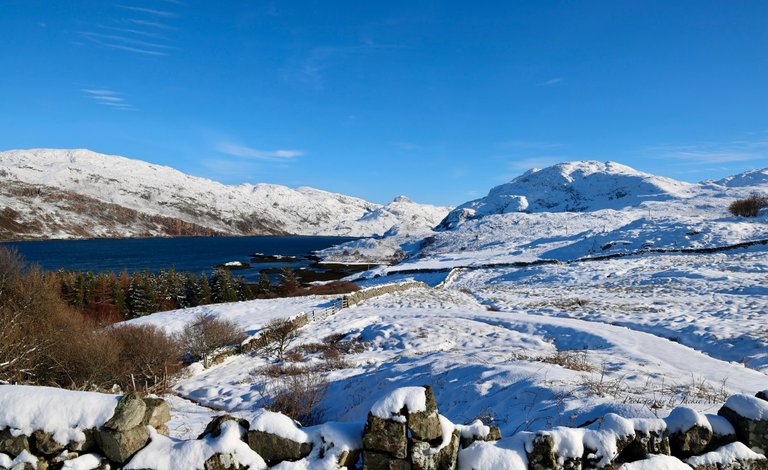
Today I want to share with you something special. A #historical #landmark in its true form. A #GEOLOGICAL #SANDWICH that is 3,000 MILLION YEARS OLD, and between that LAYER we find rock from 540 MILLION YEARS OLD. 😳
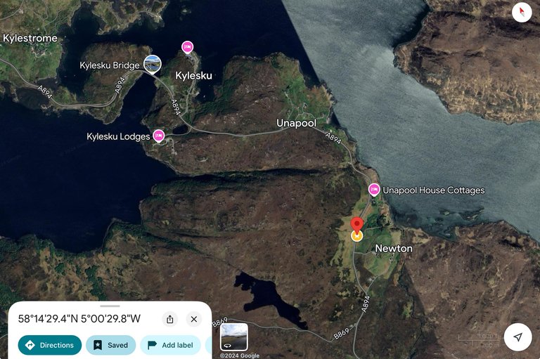
The location we find along the A894 road ~ in UNAPOOL, the North Western #HIGHLANDS OF #SCOTLAND 🏴 in the UK 🇬🇧
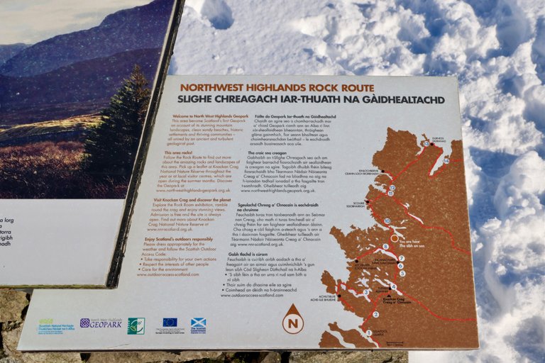
It is also part of THE ROCK ROUTE in the highlands.
This landmark is just below, on the map, of the Kylesku bridge I showed you last Saturday, if you missed it have a look here: ☃️ The KYLESKY BRIDGE and WAILING WIDOW WATERFALL during a FREEZING WINTERS DAY ❄️ - in LAIRG we drove further from that location to check out some other view points. You shouldn’t miss this one 😁
With this GEOLOGICAL SANDWICH in Unapool, SCOTLAND 🏴 I enter in this MONTH’S #WINTERCHALLENGE from @worldmappin. You can read all about it 👇🏻
Are you joining us? Do try, it is FUN! : Winter is coming 🥶🥶🥶 - and with it the Worldmappin Winter Challenge 🥳🥳 So let’s join in, in the #WINTERCHALLENGE ☃️❄️
Today’s photographic selection will be of 20 PHOTOGRAPHS
Date : continuation of 11 MARCH 2023
The Photographs in this post are taken with my #CANONR5 📸
I will follow the time stamps on them. So it looks like you are experiencing my #adventures on this #walk to 💃🏻💃🏻💃🏻 #discover everything what I saw, like the little #details seen through my eyes.
Location of this HISTORICAL LANDMARK we find on the following screenshots of Google Maps with the red pin :
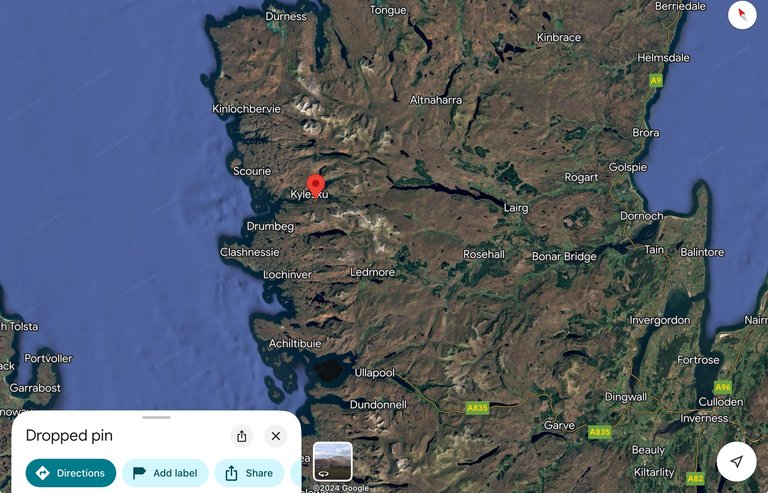
Zooming out you see its location in the northwestern HIGHLANDS of SCOTLAND 🏴 :
Shall we have a look now at this very unique spot and the views we have on this wintery day ☃️
On our drive towards the next stop. We see some #epic #landscapes. Just look at the winding road through this winter wonderland ❄️☃️
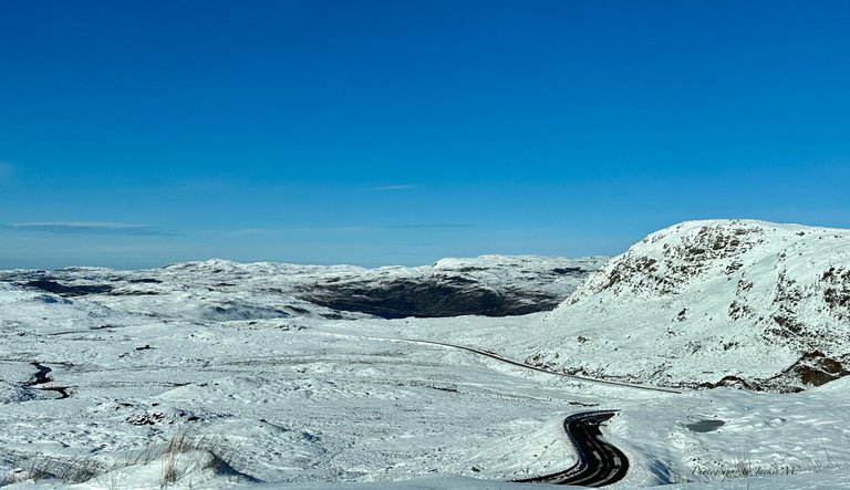
Some mountain details… the texture of the land changes the look of the snow covering it. Beautiful 🤩
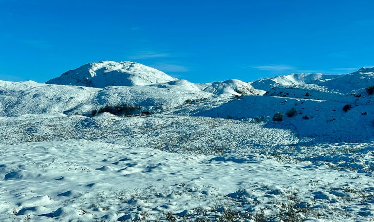
As it is still very windy 🌬️ the light snow on top is blown over the road we drive on.
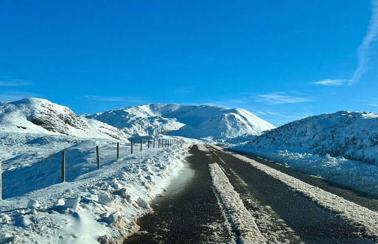
We see a parking 🅿️ area and pull over our car. We get dressed up well, yes… still gloves 🧤 and scarf 🧣 are needed. It is freezing 🥶 even with the sun ☀️
In the middle of this open area, the edge next to a lake. We see a large sign with loads of information ℹ️ on it.
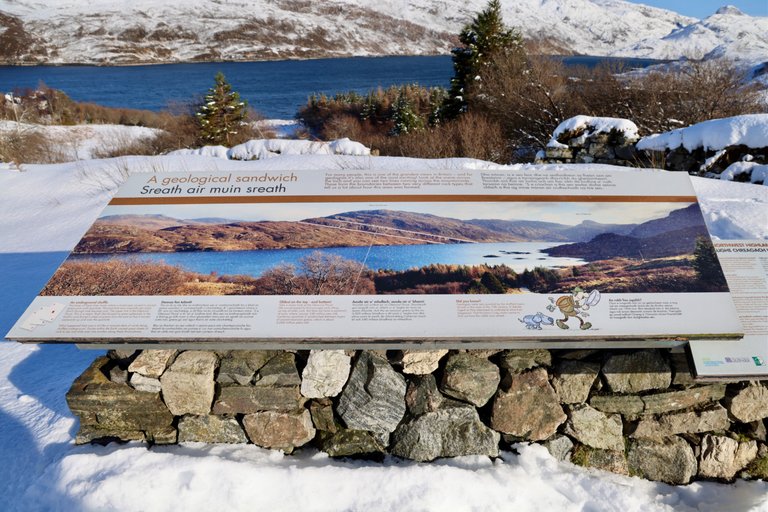
The following websites provide more details too.
The historical marker database: has basically the text/ information what is written on the sign. 🪧
This stop is part of the 9th location of THE ROCK ROUTE you find more information here: North West Highlands Geopark.
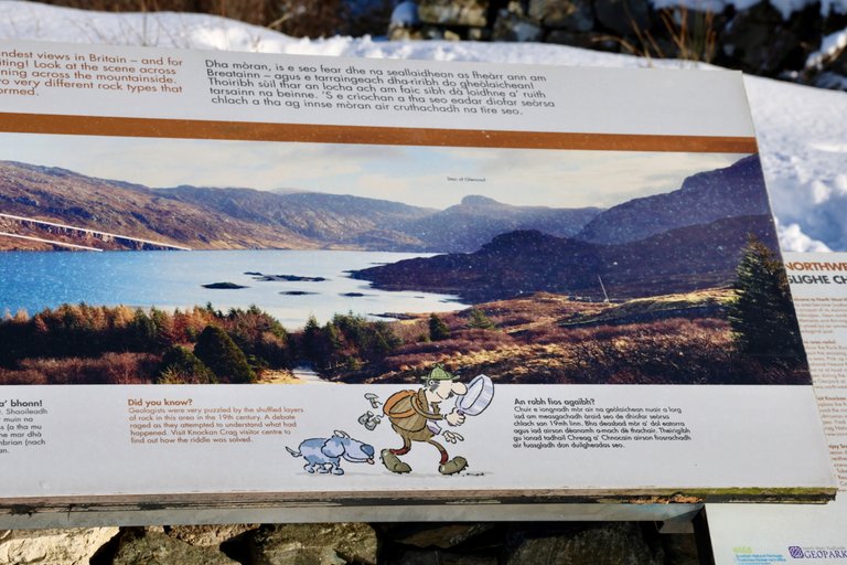
The left part of the sign I focus on to.
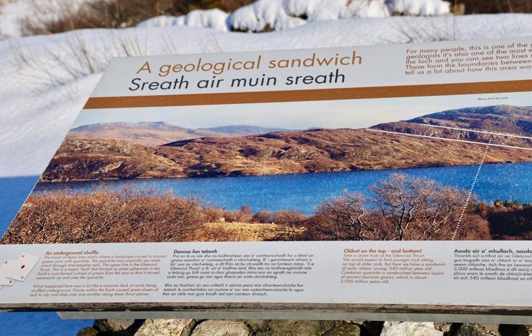
It tells us:
An underground shuffle
The lower of these lines marks where a landscape carved in ancient gneiss joins with quartzite. The quartzite was originally sea sand which through time became rock. The upper line is the Glencoul Thrust. This is a major ‘fault’ that formed as great upheavals in the Earth's crust forced a sheet of gneiss from the east so that it moved west wards up and over the quartzite.
What happened here was a bit like a massive deck of cards being shuffled underground. Forces within the Earth caused great sheets of rock to slip and slide over one another along these thrust planes. Source!
In the middle we can read:
Oldest on the top - and bottom!
Take a closer look at the Glencoul Thrust. We would expect to find younger rock sitting on top of older rock. But here we have a sandwich of sorts, where 'young' 540 million year old Cambrian quartzite is sandwiched behween layers of ancient Lewisian gneiss, which is about 3,000 million years old. Source!
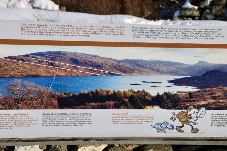
At the top we can read:
For many people, this is one of the grandest views in Britain — and for geologists it's also one of the most exciting! Look at the scene across the loch and you can see two lines running across the mountain These form the boundaries between two very different rock types that tell us a lot about how this area was formed. Source!
On a little sign next to the larger sign we find the NORTHWEST HIGHLANDS ROCK ROUTE. We are at marker 9.
Let’s focus now on this unique and EXCITING view in front of us.
Luckily for us… the lines of this exact GEOLOGICAL SANDWICH is even in the winter with all the snow still visible. Look at the mountain at an angle up next to the tree 🌲 across the lake. The lines are even easier to see right now I think 😁
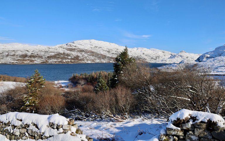
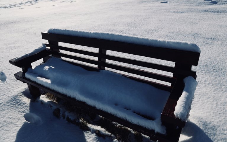
Behind us we have a bench… but let’s not sit on it hahaha 🤣 it will be very very cold 🥶
We walk a bit to the left to see the LINES better of this sandwich. 😳
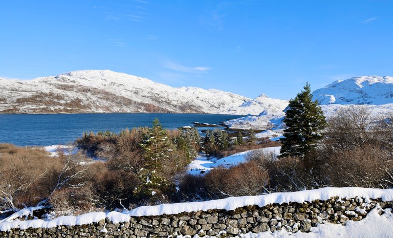
To IMAGINE that is 540 million old rock squeezed between 3,000 million year old rock 🪨 🤓 So AWESOME, don't you think?
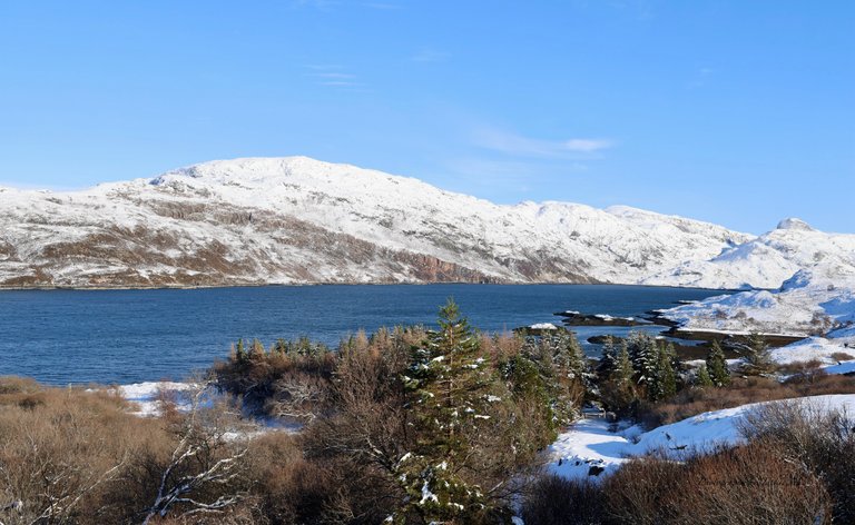
We focus a bit further on the views towards the right of the lake.
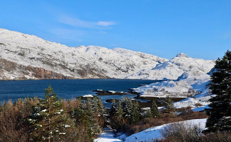
So BEAUTIFUL 😍
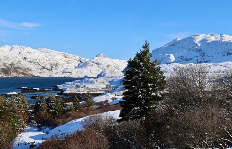
A little bit further to the right. I like the stone walls going along in the landscape.
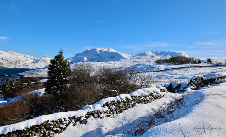
We walk a bit further to the right… our view changes. We look just besides the bushes and trees 🌳
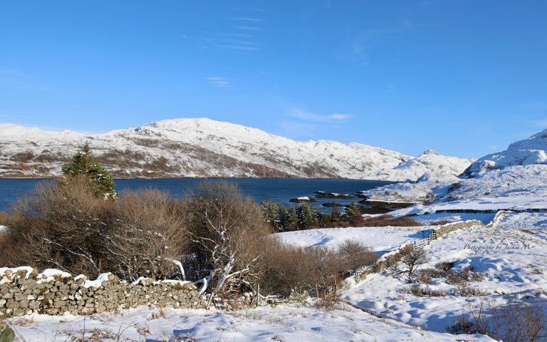
Our eyes go further to the right. HOW CAN WE NOT LOOK AT THIS STUNNING LANDSCAPE AROUND US.
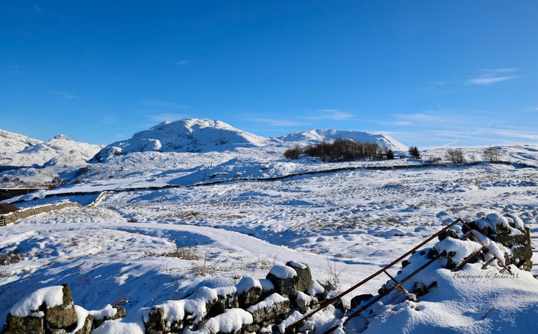
It is breathtakingly beautiful 🤩 the stone wall breaks up the snow ❄️ landscape.
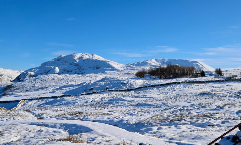
The sun ☀️ is shining bright behind us. So nice to feel the sunrays warm us up. After the freezing cheeks and lips at the waterfall… when we looked at the bridge, this is so much better. 😊
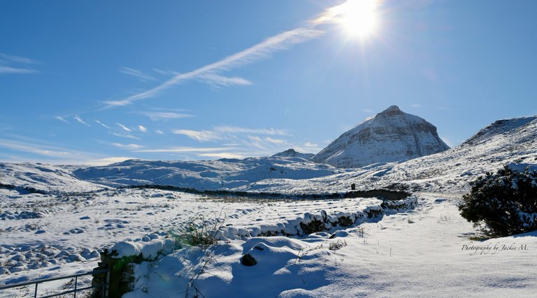
…and here I say that’s all for today’s post my friends.
Join me next time for more #updates, #adventures, #stories and #photographs 😎👋🏻
Even my own #artworks, once in a while, will come by” 🎨
Thank you so much for looking, and reading.

#ecency banner by @irisworld
Any questions or comments, let me know. Always happy to help.
Have a great day all 😎
Grtz Jackie

Unless stated otherwise: All art and photos used in my posts are taken, created and owned by me. If you wish to use any of my photographs, please contact me first. As I have used some commercially myself. We don’t want that you or somebody else gets into trouble 😉 So please don’t use them without my consent.

🖼 My PRINTSHOP: for the purchase of all kind of PRINTS in many sizes from my Artworks 🎨 (PAINTINGS and DRAWINGS) and Photography 📸
Have a look in My Prints Shop here!

If you want to see where I traveled to and what I already shared in @worldmappin formerly known as @pinmapple , have a look at my personal map here:
“LITTLEBEE4’s personal map on WORLDMAPPIN”
Are you a photographer? Join us in the discord channel “PHOTOGRAPHERS OF HIVE”
To support each other and give tips and help to improve your skills.

Gif by @irisworld
!worldmappin 58.24122 lat -5.00829 long ☃️ A GEOLOGICAL SANDWICH that is 3,000 MILLION YEARS OLD 😳 on the A894 road in UNAPOOL ~ SCOTLAND 🏴 UK 🇬🇧 d3scr