This river, estimated to have a flow length of approximately 366 km, is the longest river in Aceh. However, I was unable to find accurate, valid sources published by relevant institutions to definitively confirm its length. Nonetheless, initial measurements using Google Maps provide a reasonably close estimate. This river is known by three names, in order from its estuary to its source: Sungai Singkil, Lae Soraya, and Lawe Alas.
Historically, this river served as the primary transportation route for valuable commodities from inland Aceh to the main port at the Singkil River's mouth, facing the Indian Ocean. Commodities such as camphor, benzoin, and others were then purchased by traders who came to the main port and marketed them to various parts of the world.
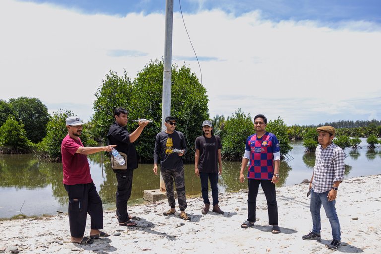
I was part of a six-person research team from the non-profit organization @Mapesa, conducting a six-day expedition from February 19-24, 2025, to survey cultural heritage sites, focusing on the Singkil watershed area. This initial survey of historical features covered the regions watered by the river, including Aceh Singkil Regency, Subulussalam City, Southeast Aceh Regency, and Gayo Lues Regency. We traveled 366 km overland from the river's mouth to its source.
Here are aerial photos with their captions:
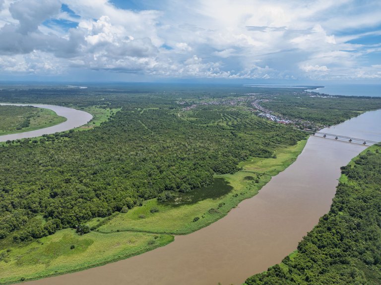
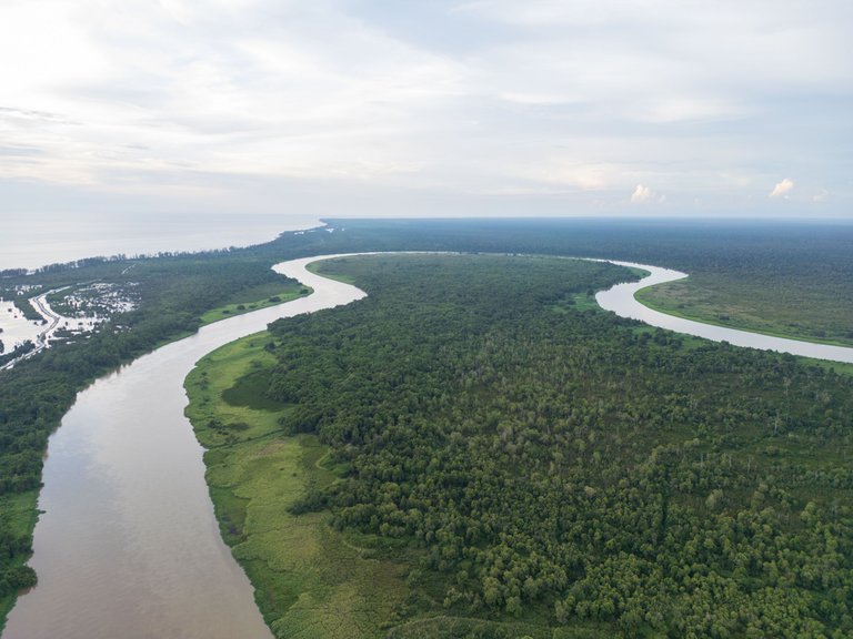
1. Singkil River with a view towards the estuary.
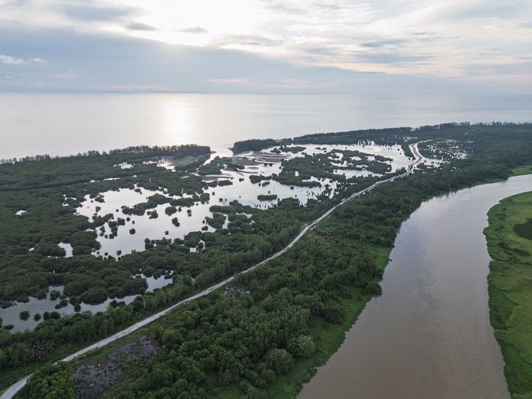
2. Singkil River with a view towards the old Singkil estuary.
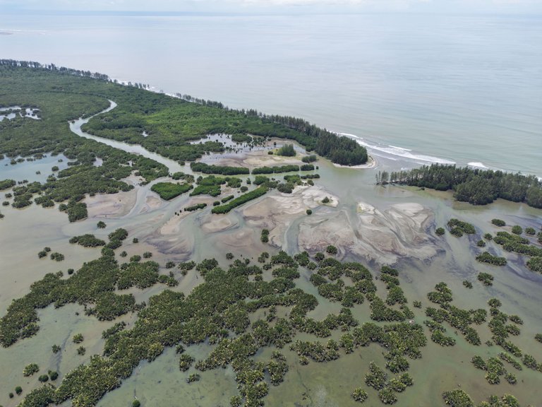
3. Old Singkil estuary.
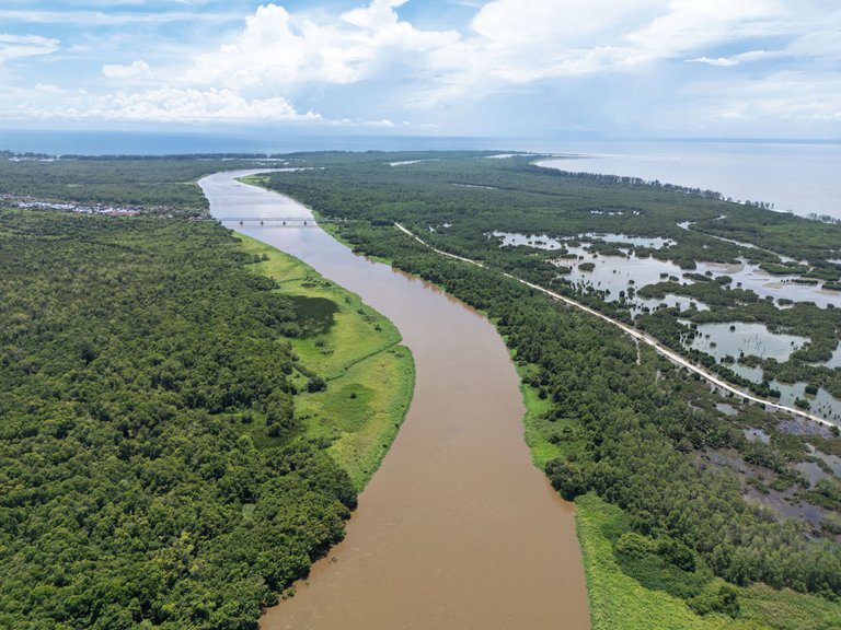
4. Singkil River, a view of the Kilangan Bridge and Singkil City.
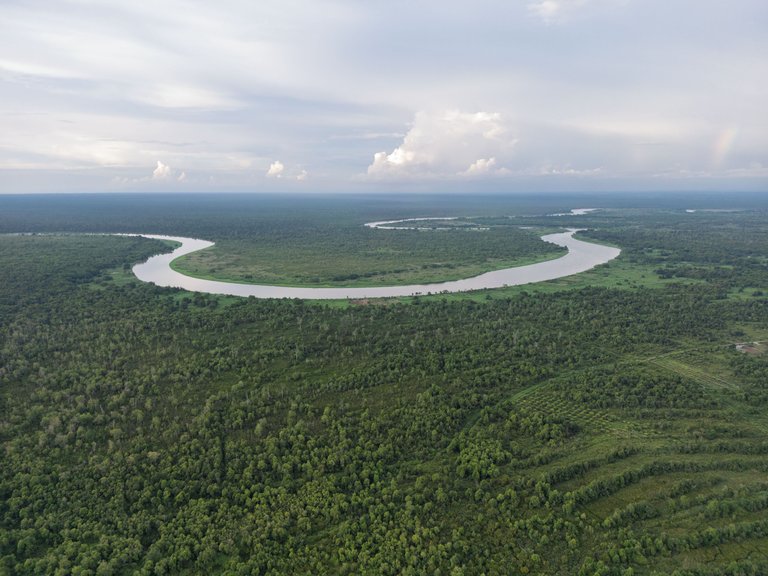
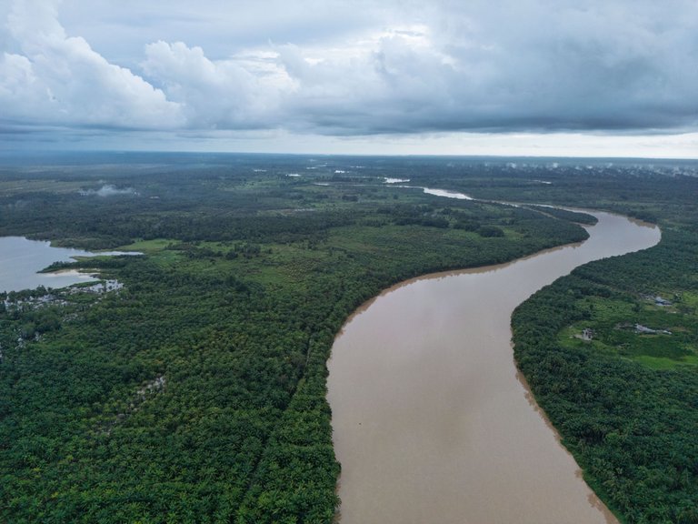
5. Singkil River with a view towards Gampong Kayu Menang and Kuala Baharu.
6. Singkil River.
Check out the 360-degree photo on the Mapesa fan page: HERE
Check out Google Maps: HERE
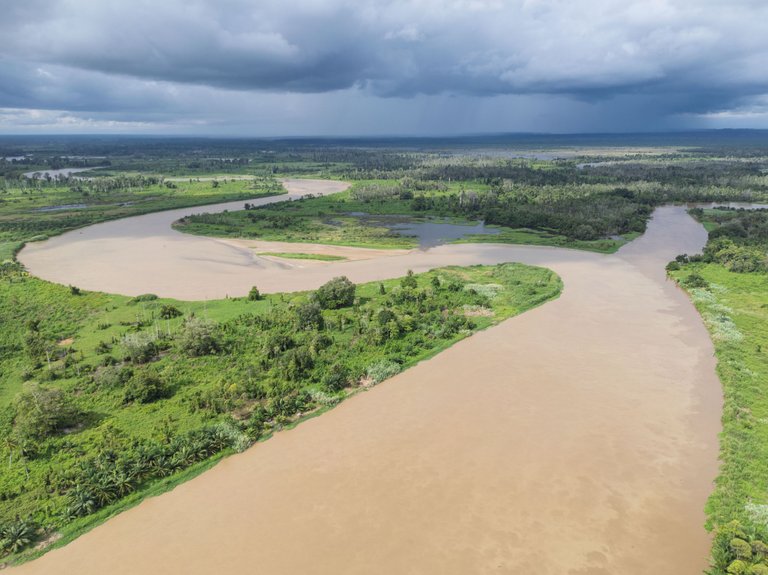
7. River junction at Pea Bumbung, Singkil District.
At this confluence, there are three river branches: Simpang Kiri (Lae Soraya) on the left, Simpang Kanan (Lae Cinendang) on the right, and the Singkil River itself. The meeting of these three river flows forms three land angles with specific names. According to H. von Rosenberg in an article published in the journal "Tijdschrift voor Indische Taal-, Land- en Volkenkunde" volume III in 1855, the locals named these three angles as follows:
- Ujong Pamuka: The angle formed between the Singkil River and Simpang Kiri.
- Ujong Pulu: The angle formed between Simpang Kiri and Simpang Kanan.
- Ujong Baja: The angle formed between Simpang Kanan and the Singkil River.
Check out the 360-degree photo on the Mapesa fan page: HERE
Check out Google Maps: HERE
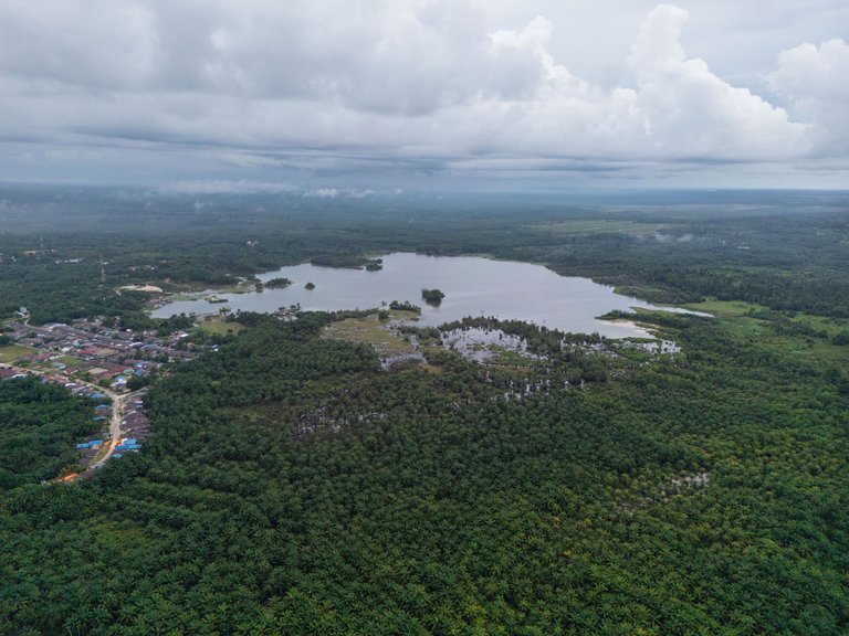
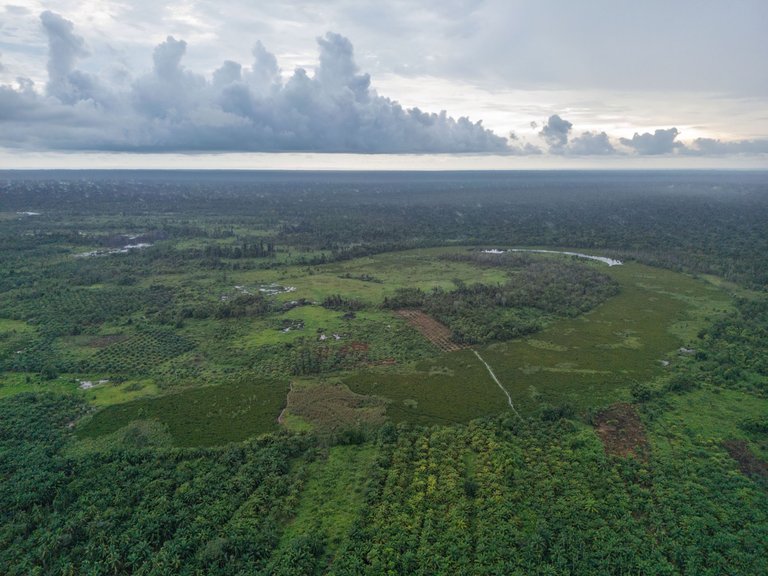
8-10. Lake Bungara along the Lae Soraya river flow.
Check out the 360-degree photo on the Mapesa fan page: HERE
Check out Google Maps: HERE
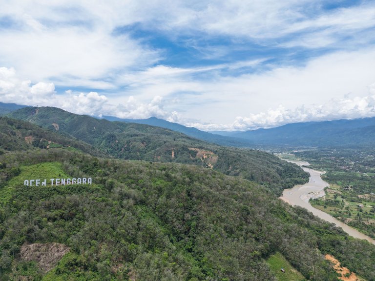
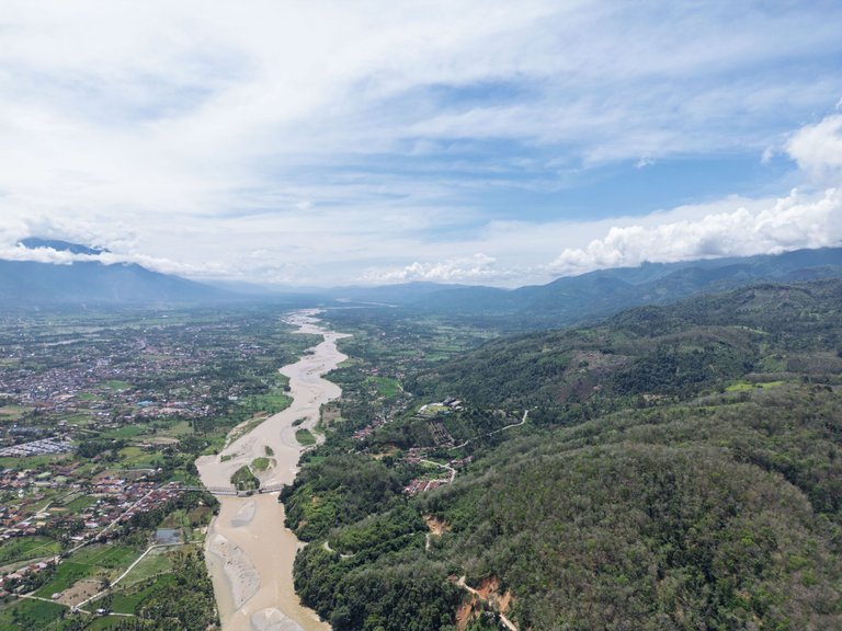
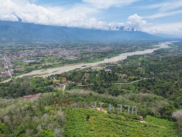
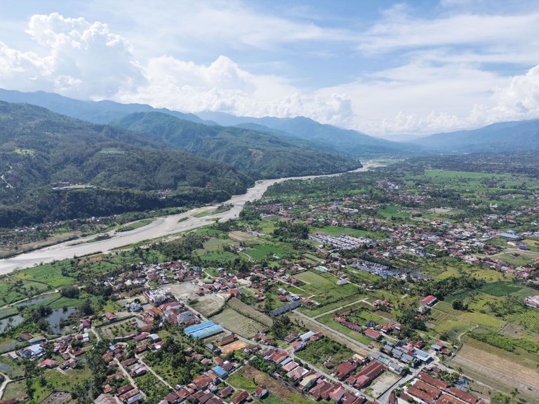
11-15. Views of the Alas River and Kutacane cityscape, the capital of Southeast Aceh Regency.
Check out the 360-degree photo on the Mapesa fan page: HERE
Check out Google Maps: HERE
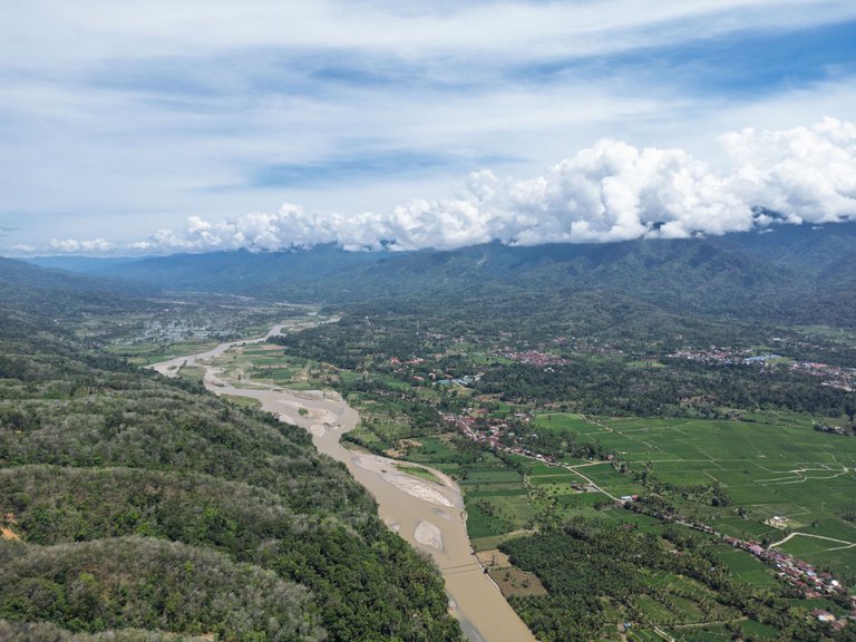
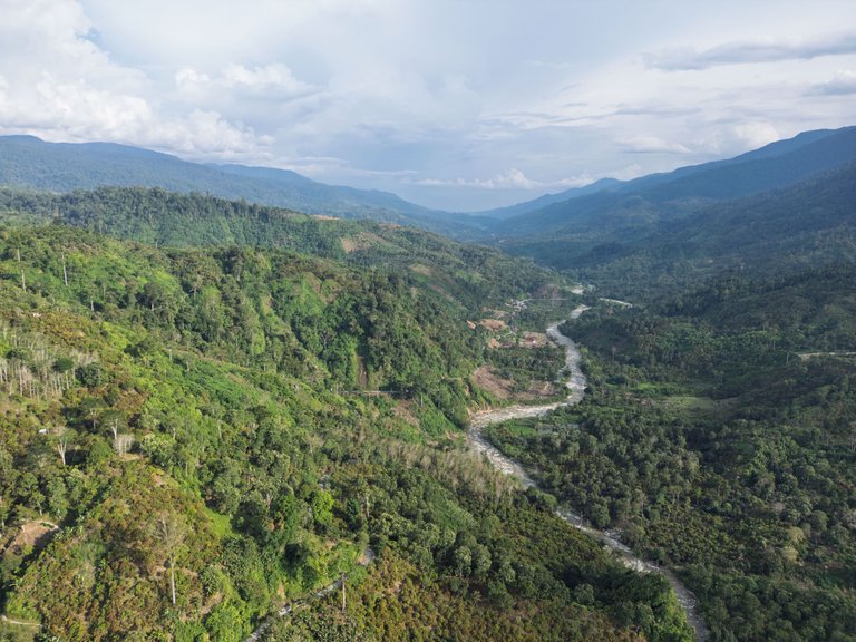
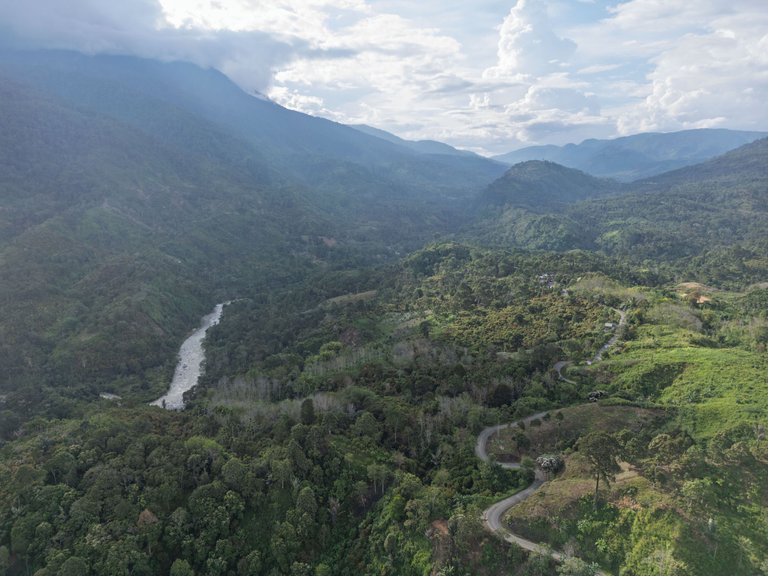
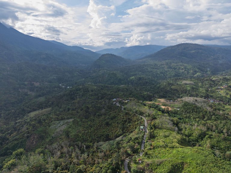
16-18. View of the River flow on the Kutacane-Blangkejeren route.
Check out the 360-degree photo on the Mapesa fan page: HERE
Check out Google Maps: HERE
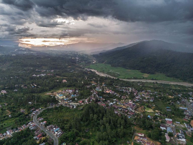
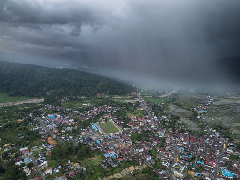
19-20. Blangkejeren cityscape, the capital of Gayo Lues Regency.
Check out the 360-degree photo on the Mapesa fan page: HERE
Check out Google Maps: HERE
Photos shot with DJI Mini 3 Pro
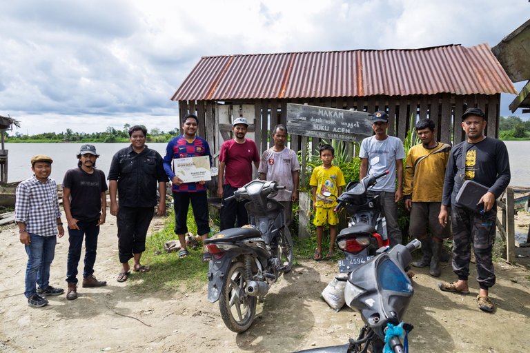
| The expedition was led by @Keuudeip who was wearing a red t-shirt | Photo opportunity with the team @Mapesa and residents |
|---|---|
 |  |
Thank You
by Irfan M Nur (@vannour)
You can check out this post and your own profile on the map. Be part of the Worldmappin Community and join our Discord Channel to get in touch with other travelers, ask questions or just be updated on our latest features.
Really impressive!
Thanks
🙏